The best running trails around Saint-Étienne-De-Tinée
4.7
(3)
500
runners
39
runs
Jogging routes around Saint-Étienne-De-Tinée offer access to the diverse landscapes of the Mercantour National Park. The region is characterized by high mountain peaks, river valleys, and significant elevation changes, with the village itself situated at 1142 meters. Runners can explore a varied network of trails, ranging from accessible paths along the Tinée River to more technical mountain routes. This area provides a mix of terrain suitable for different running preferences.
Best jogging routes around Saint-Étienne-De-Tinée
- The most popular jogging route is Collet de Tortisse loop from Vens, a 11.3 miles (18.2 km) trail that takes 2 hours 46 minutes to complete. This challenging route features significant elevation gain within the Mercantour National Park.
- Another top favourite among local runners is La Bercha Summit (2,274 m) loop from Auron, a difficult 7.1 miles (11.4 km) path. This route offers panoramic views from the summit, accessible from the nearby ski resort.
- Local runners also love the Saint-Étienne-de-Tinée – Refuge de Rabuons loop from Saint-Étienne-de-Tinée, a 13.4 miles (21.6 km) trail leading through high-mountain terrain, often completed in about 3 hours 54 minutes.
- Jogging around Saint-Étienne-De-Tinée is defined by high mountain passes, river valleys, and diverse trail networks. The region offers options for various ability levels, from easier paths to very difficult alpine trails.
- The routes in Saint-Étienne-De-Tinée are highly rated by the komoot community with an average score of 4.8 stars from over 5 reviews. More than 600 runners have used komoot to explore Saint-Étienne-De-Tinée's varied terrain.
Last updated: June 25, 2026
32
runners
11.7km
01:50
650m
650m
Hard run. Very good fitness required. Mostly paved surfaces. Suitable for all skill levels.
26
runners
21.6km
03:55
1,660m
1,660m
Hard run. Very good fitness required. Sure-footedness, sturdy shoes and alpine experience required.

Sign up for free
20
runners
46.7km
07:58
3,100m
3,100m
Hard run. Very good fitness required. Sure-footedness, sturdy shoes and alpine experience required.
18
runners
9.52km
01:21
380m
380m
Hard run. Very good fitness required. Mostly paved surfaces. Suitable for all skill levels.
5.0
(1)
15
runners
6.63km
01:00
350m
350m
Hard run. Very good fitness required. Mostly paved surfaces. Suitable for all skill levels.
Get access to more routes and recommendations from other explorers.
Sign up for free
Already have an account?
Our route recommendations are based on thousands of hikes, rides, and runs completed by other people on komoot.
Start today with a free account
Your next adventure awaits.
Login or Signup
Popular around Saint-Étienne-De-Tinée

GR 5 – The Europe Trail from the Mediterranean to Germany

Europe Trail (GR 5) – Hike from Nice to Saint-Étienne-de-Tinée

Route des Grandes Alpes

Cycling from the Italian Riviera to the French Alps – Alpine Arc (part 1)

Hike from Saint-Étienne-de-Tinée to Briançon – Europe Trail (GR 5)

France — two weeks of hiking at its best!
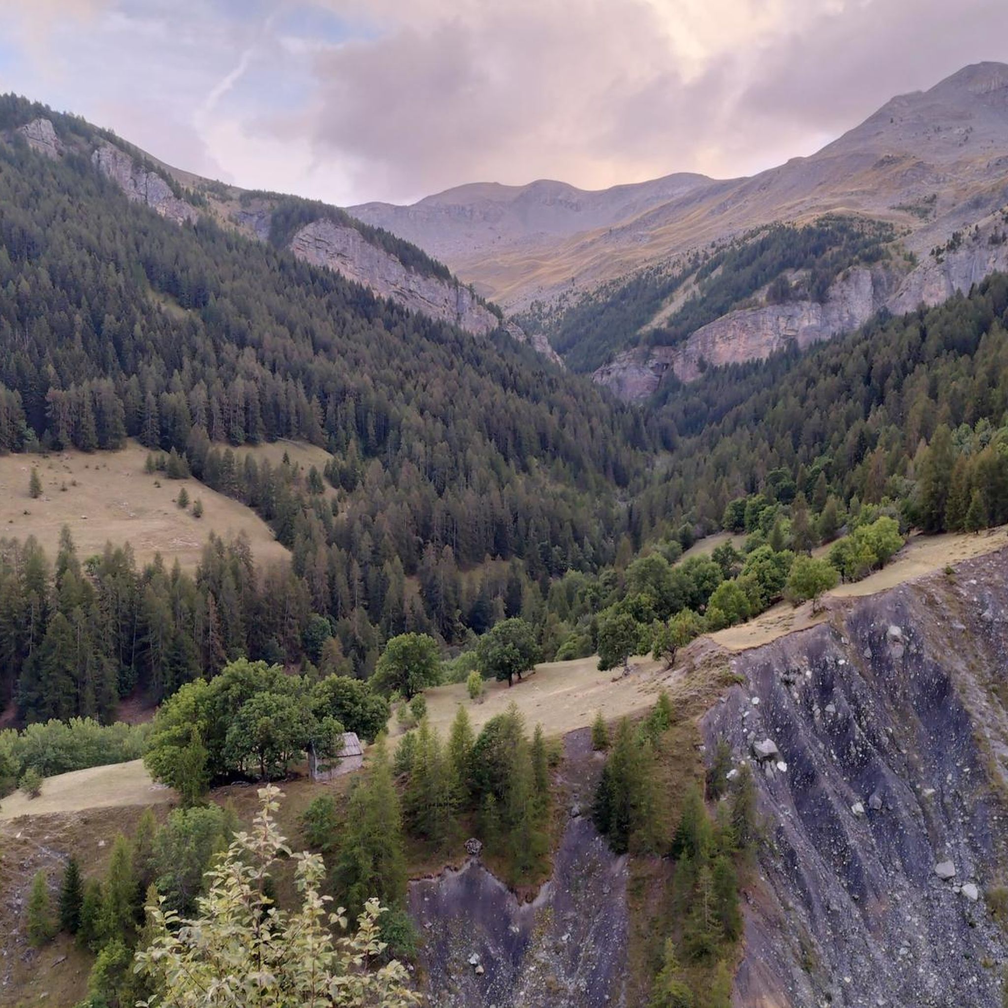
Hiking around Saint-Étienne-De-Tinée
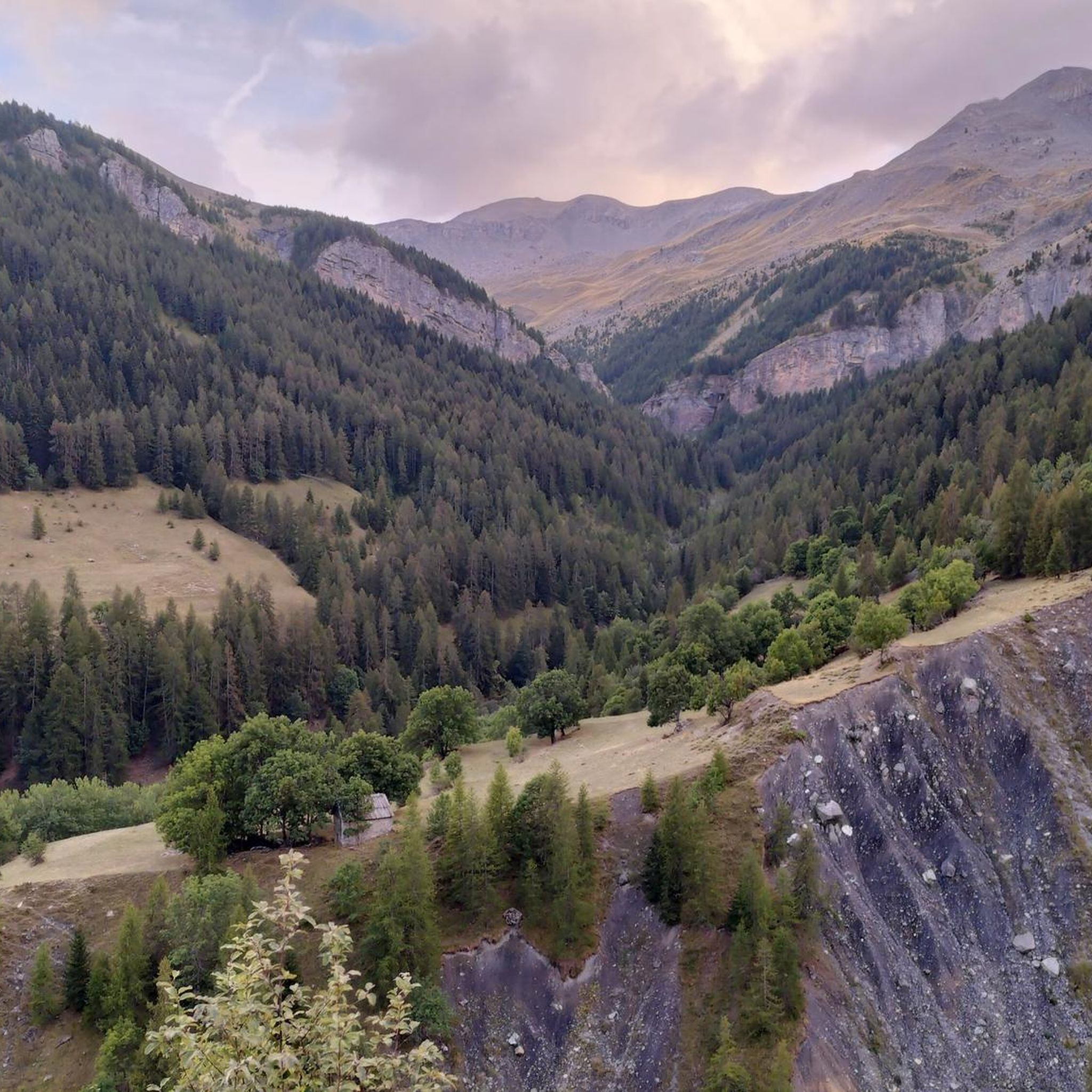
Road Cycling Routes around Saint-Étienne-De-Tinée
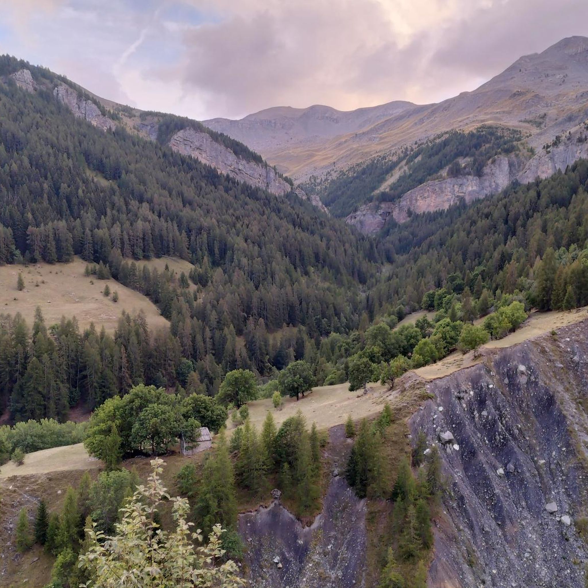
MTB Trails around Saint-Étienne-De-Tinée
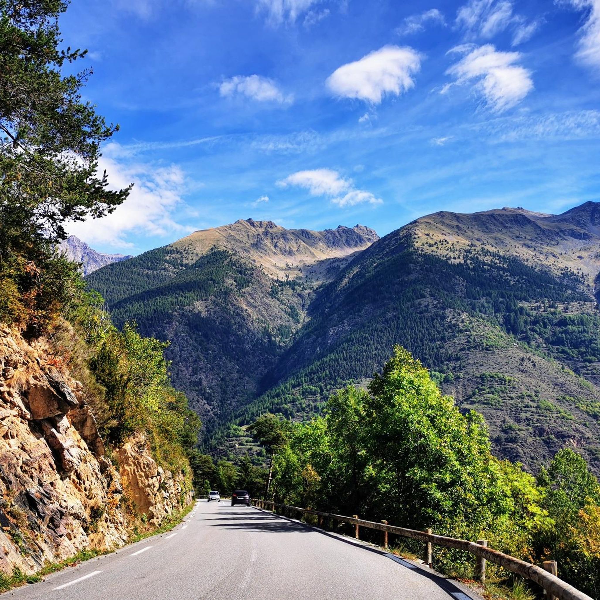
Cycling around Saint-Étienne-De-Tinée
Other adventures around Saint-Étienne-De-Tinée


Tips from the Community

A manageable town with a small market square surrounded by bakeries, grocery stores and restaurants.
0
0

This friendly refuge is set in a very mineral and spectacular environment. It welcomes you in a warm atmosphere and offers local, hearty and tasty dishes. It has 36 beds (reduced to 20 during the winter period). Remember to book on https://refugederabuons.ffcam.fr/FR_home.html
0
0

Wide view, notably of the Plateau d'Auron.
0
0

The area is very beautiful and varied.
0
0

Auron is a winter sports resort, created in 1937 at 1,600 meters above sea level, on the territory of the municipality of Saint-Étienne-de-Tinée. Frequented in winter as in summer, the resort abounds with shops. Do not hesitate to stop there to enjoy a coffee.
0
0
At 1,880 meters above sea level, the Chamois belvedere offers you a remarkable view of the Tinée valley.
0
0

At 2444 m, the Cime de la Bercha offers a total panorama of the Mercantour National Park. The views are absolutely stunning. Nice climb and fun descents to Auron.
0
0
Saint-Étienne-de-Tinée is a pretty mountain town of 1,400 inhabitants, located in the heart of the Mercantour National Park. Famous in winter for its ski resort of Auron, the city does not lose its charm in summer since it is crossed by the mythical GR 5. In the village made of narrow streets, many shops offer accommodation and catering.
0
0
Frequently Asked Questions
How many running trails are available in Saint-Étienne-De-Tinée?
There are over 45 running routes around Saint-Étienne-De-Tinée, offering a wide range of options for different fitness levels. You'll find everything from easier paths to very challenging alpine trails.
Are there running routes suitable for beginners in Saint-Étienne-De-Tinée?
Yes, while many routes are challenging, there are at least 2 easier running paths available. These typically follow more accessible terrain, often along river valleys, making them suitable for those new to trail running or looking for a less strenuous jog.
What kind of scenic views can I expect on the running trails around Saint-Étienne-De-Tinée?
The region offers stunning panoramic views of the Haute Tinée valley and the Mercantour mountains. Many routes feature high-altitude lakes like Lacs Varicles and Lac de Ténibre, impressive mountain passes such as the Col de la Bonette, and even waterfalls like the Pisciai Waterfall.
Are there any circular running routes in Saint-Étienne-De-Tinée?
Yes, many of the running routes in the area are circular, allowing you to start and finish at the same point. For example, the challenging Collet de Tortisse loop from Vens is a popular option, as is the La Bercha Summit (2,274 m) loop from Auron.
What are some of the most challenging trail running options in the region?
For experienced trail runners, the area offers numerous difficult routes with significant elevation gain. The Saint-Étienne-de-Tinée – Refuge de Rabuons loop from Saint-Étienne-de-Tinée is a demanding 13.4-mile trail through high-mountain terrain. Other challenging options include ascents to high mountain passes like the Col de la Bonette.
Can I bring my dog on the running trails in Saint-Étienne-De-Tinée?
Saint-Étienne-De-Tinée is a gateway to the Mercantour National Park. While many areas are dog-friendly, specific regulations apply within the National Park boundaries, especially concerning protected wildlife. It's always best to check the current rules and designated paths for dogs before heading out.
What do other runners enjoy most about jogging in Saint-Étienne-De-Tinée?
The running routes in Saint-Étienne-De-Tinée are highly rated by the komoot community, with an average score of 4.8 stars. Runners frequently praise the diverse terrain, from riverbanks to high mountain passes, and the breathtaking natural beauty of the Mercantour National Park.
Are there any running routes that pass by notable landmarks or points of interest?
Absolutely. Many routes offer access to significant natural features. You might run past the historic Cayolle Pass, or experience the high-altitude environment near the Gardetta Pass. The area also features several mountain huts like Refuge de Vens, which can be points of interest along longer trails.
What is the best time of year for trail running in Saint-Étienne-De-Tinée?
The best time for trail running generally depends on the altitude of the route. Lower valley paths are accessible for much of the year. For high-mountain trails and passes, late spring through early autumn (June to September) offers the most favorable conditions, as snow can persist at higher elevations outside of these months.
Are there running routes accessible from the ski resort of Auron?
Yes, the nearby ski resort of Auron serves as a starting point for several running trails. For instance, the Cime de la Bercia – Auron Ski Resort loop from Auron offers a challenging run with great views, directly accessible from the resort.
What kind of terrain can I expect on the running trails?
You'll encounter a diverse mix of terrain, from paved roads and accessible paths along the Tinée River to more technical mountain trails. The region's mountainous character means you should be prepared for rocky sections, steep ascents, and descents, especially on routes within the Mercantour National Park.
Most popular routes around Saint-Étienne-De-Tinée
Most popular attractions around Saint-Étienne-De-Tinée

Get inspired with the komoot mobile app


Explore more
Browse the best Running Trails & Routes in other regions.
