The best walks and hikes around Castellar
4.5
(1162)
6,036
hikers
16
hikes
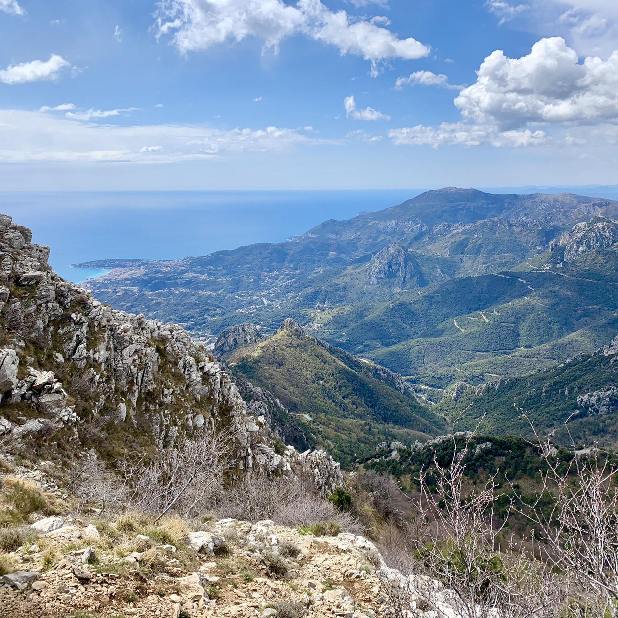
Hiking trails around Castellar offer diverse landscapes in the French Riviera, characterized by its medieval village setting and panoramic coastal views. The region features significant peaks like Roc de l'Orméa and Col du Berceau, providing expansive vistas over the Bay of Menton and the Italian coastline. Hikers can explore routes that traverse varied terrain, from coastal paths to higher elevations. The area is also known for its abundance of peonies, particularly at the foot of Grand Mont in spring.
Best…
Last updated: September 26, 2026
5.0
(2)
8
hikers
8.44km
03:25
560m
560m
Moderate hike. Good fitness required. Mostly accessible paths. Sure-footedness required.
4.5
(2)
11
hikers
5.91km
02:21
380m
380m
Moderate hike. Good fitness required. Mostly accessible paths. Sure-footedness required.

16
hikers
10.7km
05:47
1,120m
1,120m
Hard hike. Very good fitness required. Mostly accessible paths. Sure-footedness required.
6.13km
03:13
650m
650m
Moderate hike. Good fitness required. Mostly accessible paths. Sure-footedness required.
4.5
(75)
426
hikers
8.74km
03:50
740m
740m
Moderate hike. Good fitness required. Mostly accessible paths. Sure-footedness required.
Get access to more routes and recommendations from other explorers.
Already have an account?
Our route recommendations are based on thousands of hikes, rides, and runs completed by other people on komoot.
Start today with a free account
Your next adventure awaits.
Tips from the Community

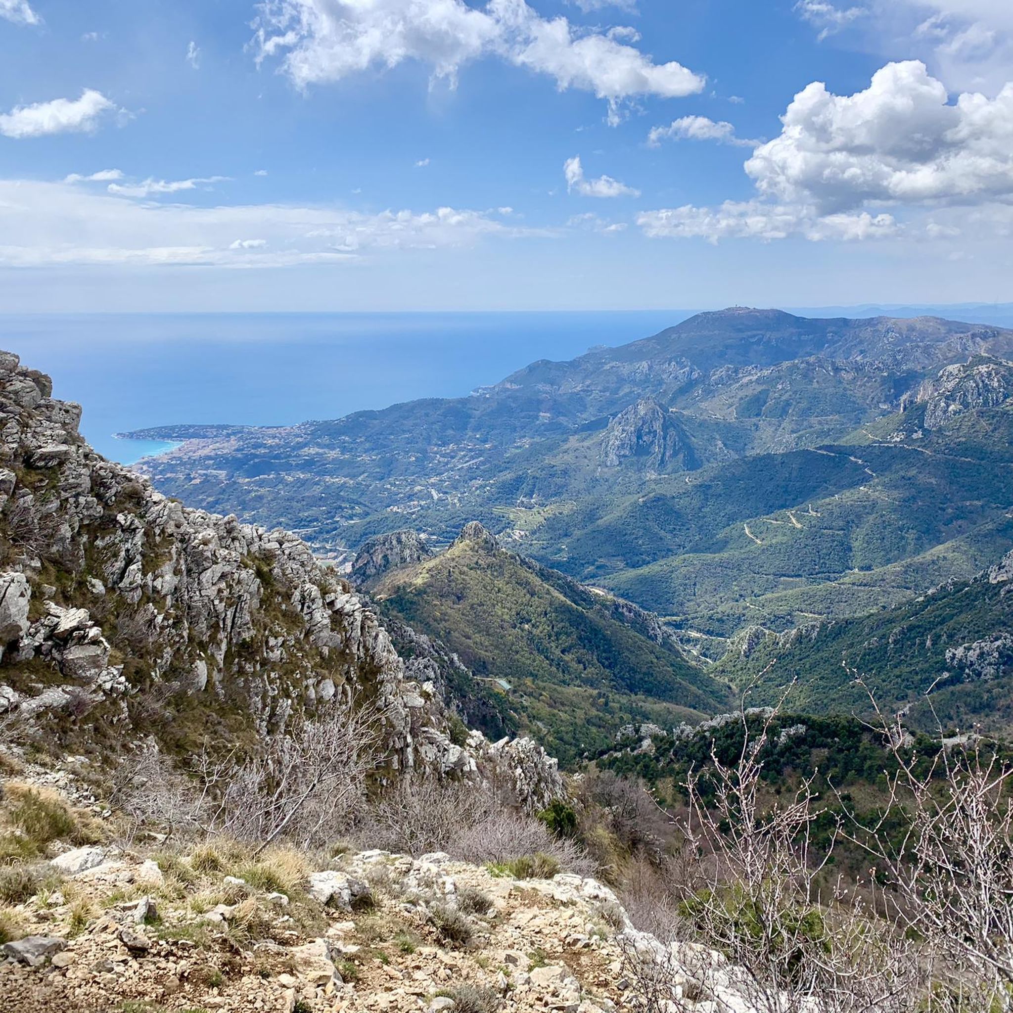
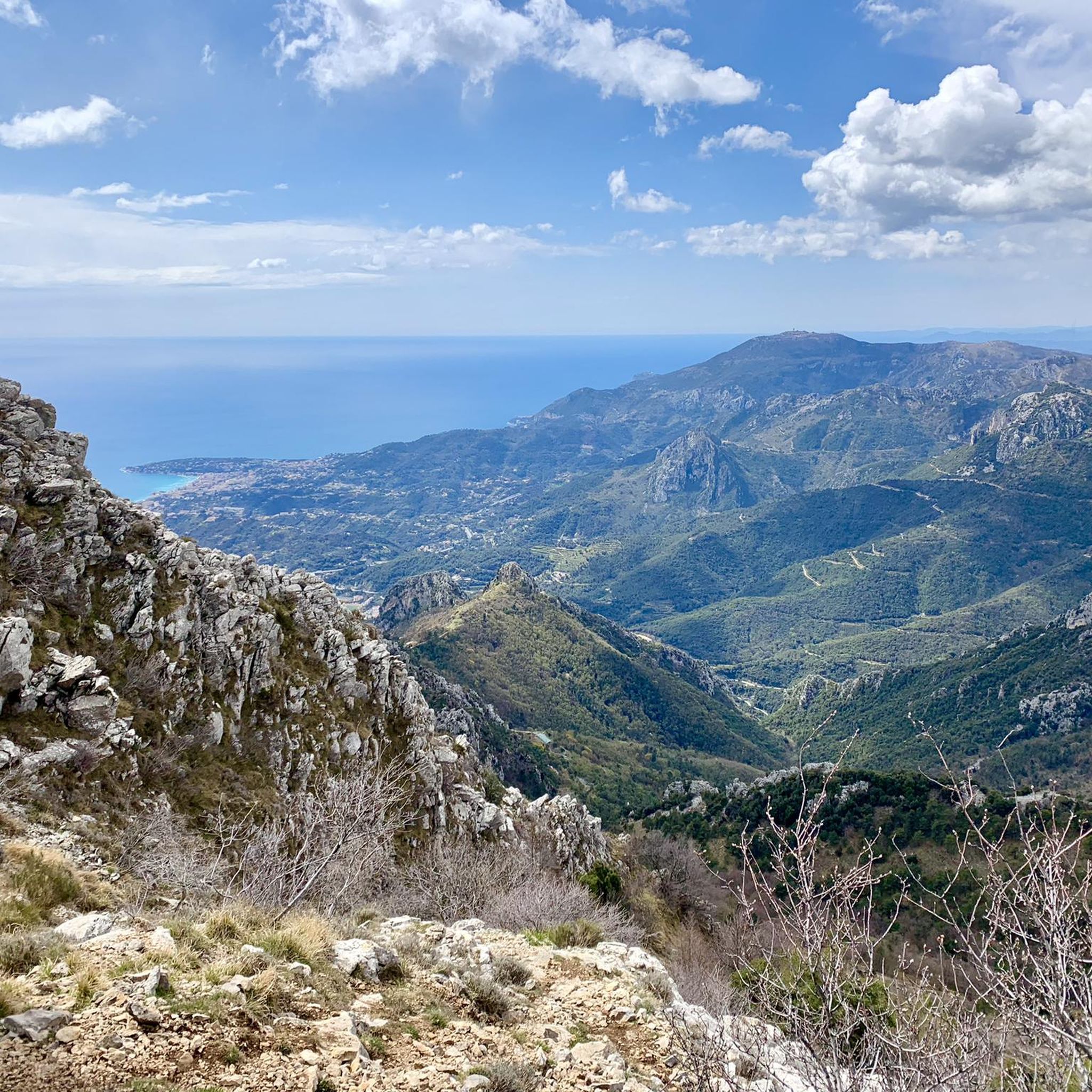
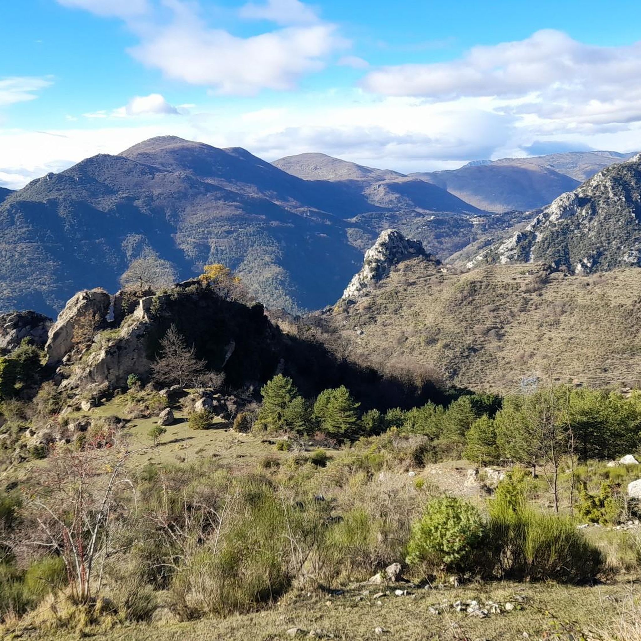
Demanding climb, rough terrain, but what a reward up there… 🌄 Between sky, sea, and relief, the scenery is simply exceptional. A hike that puts you in your place and reminds you why we love the mountains 💪
0
0
An incredible spot between the sea and the mountains, with a climb that stings just right 🔥 but a view at the summit that is well worth the effort 😍 Wild atmosphere, silence, and a crazy panorama of the coast… exactly what we come hiking for. A local classic, never disappointing 💪
0
0

The summit of Grammondo can be reached by three possible routes: 1. From Bevera-Collabassa, climbing a military road that is quite rugged at times; 2. From France, the easiest route; 3. From Sospel, along the old Jewish trail, which was used to transport Jews persecuted in France. But this third route is only a descent, as far as I remember.
0
0

The view from Grammondo is truly 360 degrees!
0
0
Beautiful lawn with a wonderful view of Menton
0
0

To also do departure from the Col de Castillon -Scuvion-drop of the razet-colla bassa-gramondo-return to Col Castillon via Pierre Pointue.
0
1

take your picnic and enjoy the Menton panorama from this magnificent viewpoint! (don't forget your waste)
0
0

Frequently Asked Questions
How many hiking trails are available around Castellar?
Castellar offers a selection of over 15 hiking trails, catering to various preferences. These routes provide diverse experiences, from coastal paths to higher elevations, with options ranging from moderate to difficult.
What kind of views can I expect on hikes near Castellar?
Hikes around Castellar are renowned for their breathtaking panoramic views. You can expect stunning vistas of the coast, including the Bay of Menton and the Italian coastline. Trails ascending to peaks like Roc de l'Orméa and Col du Berceau offer increasingly dramatic scenery and expansive outlooks.
Are there any circular hiking routes in Castellar?
Yes, Castellar features several excellent circular hiking routes. A popular choice is the Mont Carpano Loop Trail, a moderate 3.7-mile (5.9 km) path offering scenic views. Another option is the Roc d'Orméa Loop Trail, which is 3.8 miles (6.1 km) and leads through varied terrain.
What is the best time of year to hike in Castellar?
Spring is an excellent time to hike in Castellar, especially if you wish to see the abundance of peonies, particularly at the foot of Grand Mont. The region generally offers pleasant hiking conditions for much of the year, with coastal paths being enjoyable outside of the hottest summer months.
Are there any family-friendly hiking options in Castellar?
While many routes in Castellar involve moderate ascents and varied terrain, families with some hiking experience can find suitable options. The Mont Carpano Loop Trail, for example, is a moderate 3.7-mile (5.9 km) path that could be a good choice for active families.
Can I bring my dog on the hiking trails around Castellar?
Many hiking trails in the Castellar region are dog-friendly, allowing you to enjoy the beautiful scenery with your canine companion. However, it's always advisable to keep your dog on a leash, especially in areas with wildlife or near other hikers, and to check for any specific local regulations or protected areas before you go.
Are there any waterfalls or gorges to explore near Castellar?
Yes, the area around Castellar features natural attractions like gorges. You can explore highlights such as Route de la Grave and the Gorges de Saorge Road Tunnel. The Ruisseau de Redebraus is also a notable waterfall in the vicinity.
What are some notable landmarks or attractions to see while hiking?
Beyond the natural beauty, you can encounter several interesting landmarks. The region is known for its seven chapels along the Col du Razet. Other nearby attractions include the Col de la Madone and the Braus Pass. For those interested in historical sites, the Doria Castle of Dolceacqua is also within reach.
How difficult are the hiking trails around Castellar?
The hiking trails around Castellar offer a range of difficulties. The majority of routes are classified as moderate, providing a good challenge without being overly strenuous. There are also several difficult routes for experienced hikers seeking more demanding ascents and longer distances, such as the Authion Massif - Menton Trail.
What do other hikers say about the trails in Castellar?
The trails in Castellar are highly regarded by the komoot community, with an average rating of 4.5 stars from over 900 reviews. Hikers frequently praise the panoramic coastal views, the varied terrain, and the well-maintained paths that lead through both village surroundings and higher elevations.
Are there any longer, more challenging hikes for experienced hikers?
Yes, for experienced hikers seeking a greater challenge, Castellar offers several difficult routes. The Authion Massif - Menton Trail is a demanding 10.7-mile (17.2 km) route with significant elevation gain, providing a rigorous and rewarding experience.
Can I find routes that offer both coastal and mountain views?
Absolutely. Castellar is uniquely positioned to offer hikes that combine stunning coastal panoramas with views of the surrounding mountains and hills. Trails often ascend from the medieval village, providing increasingly expansive vistas over the Bay of Menton and the Italian coastline as you gain elevation towards peaks like Roc de l'Orméa.
Most popular routes around Castellar
Most popular attractions around Castellar

Get inspired with the komoot mobile app


Explore more
Browse the best Hikes in other regions.
