The best running trails around La Roquette-Sur-Var
4.3
(42)
3,344
runners
169
runs
Jogging routes around La Roquette-Sur-Var offer a diverse landscape for runners, characterized by varied terrain and significant elevation changes. The region features an altitude range from 108 to 600 meters, providing options from gentle slopes to challenging ascents. Runners can explore the Var valley with its river, sandy banks, and olive groves, alongside panoramic views encompassing the sea and the peaks of the Mercantour Park. The area also serves as a starting point for numerous trails, including paths like the…
Last updated: June 28, 2026
71
runners
4.69km
00:30
30m
20m
Easy run. Great for any fitness level. Mostly paved surfaces. Suitable for all skill levels.
24
runners
24.3km
04:17
1,680m
1,680m
Hard run. Very good fitness required. Sure-footedness, sturdy shoes and alpine experience required.

Sign up for free
51
runners
3.82km
00:24
20m
10m
Easy run. Great for any fitness level. Mostly paved surfaces. Suitable for all skill levels.
17
runners
36.1km
04:36
1,390m
1,390m
Hard run. Very good fitness required. Mostly paved surfaces. Suitable for all skill levels.
9
runners
45.0km
07:50
2,860m
2,860m
Hard run. Very good fitness required. Sure-footedness, sturdy shoes and alpine experience required.
Get access to more routes and recommendations from other explorers.
Sign up for free
Already have an account?
Our route recommendations are based on thousands of hikes, rides, and runs completed by other people on komoot.
Start today with a free account
Your next adventure awaits.
Login or Signup
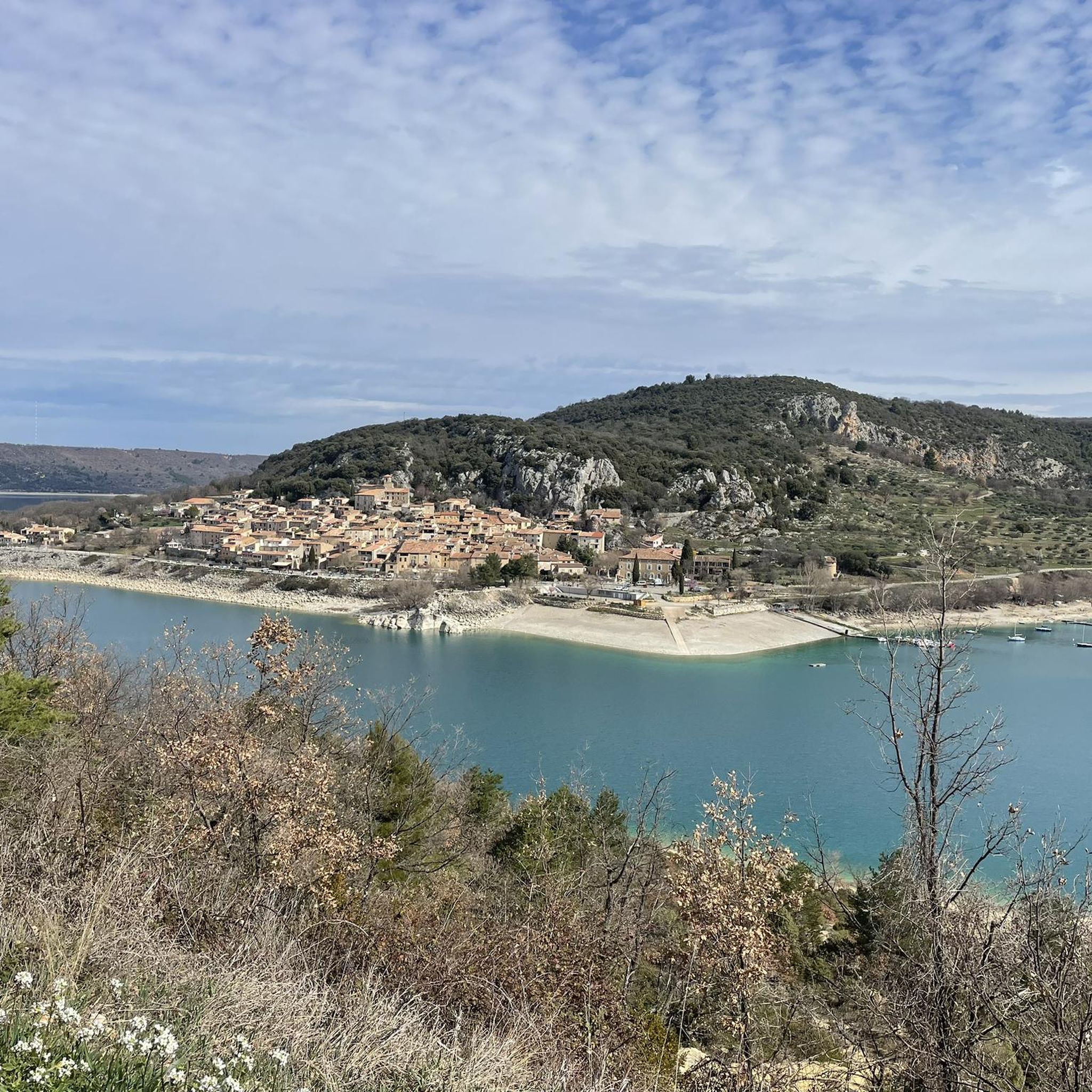
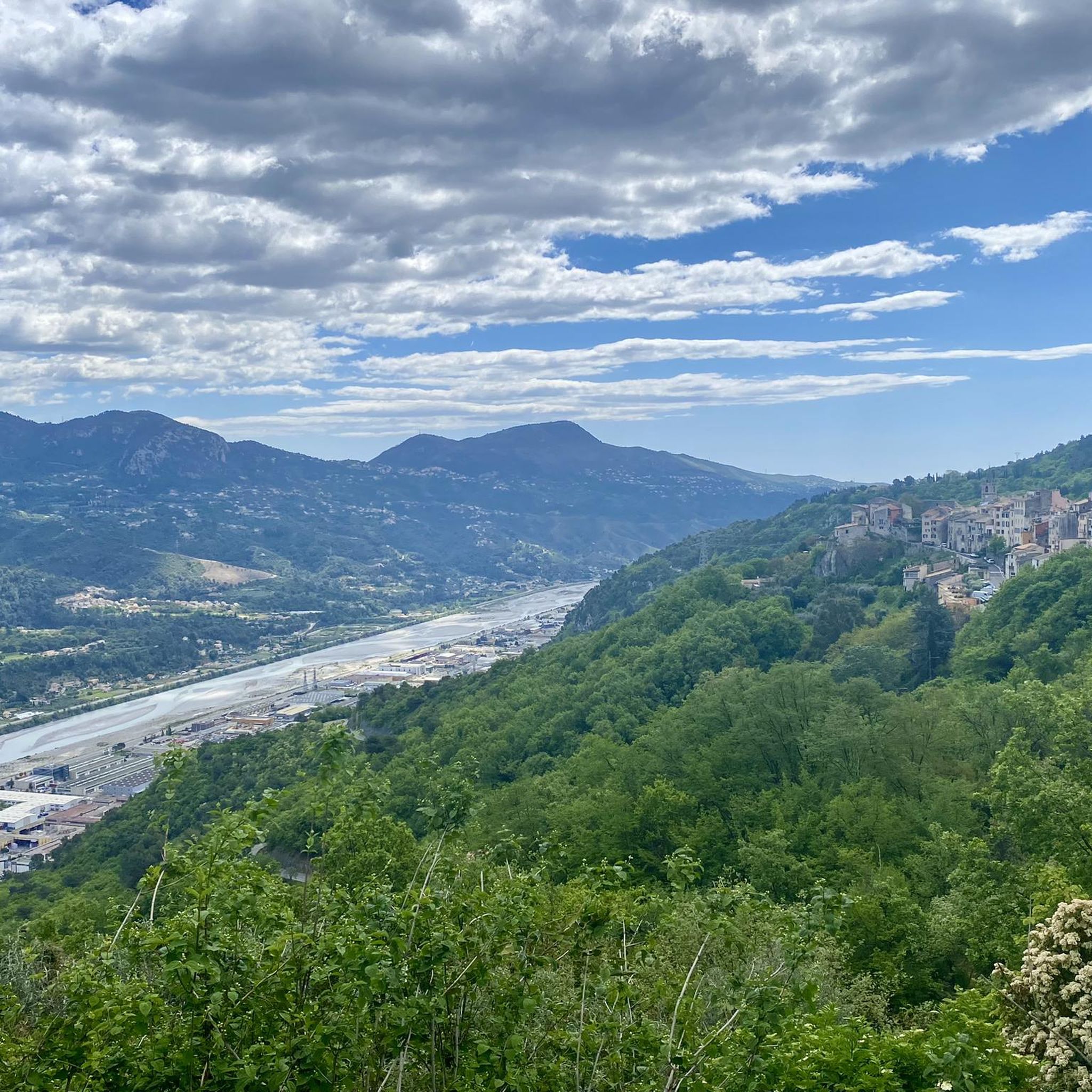
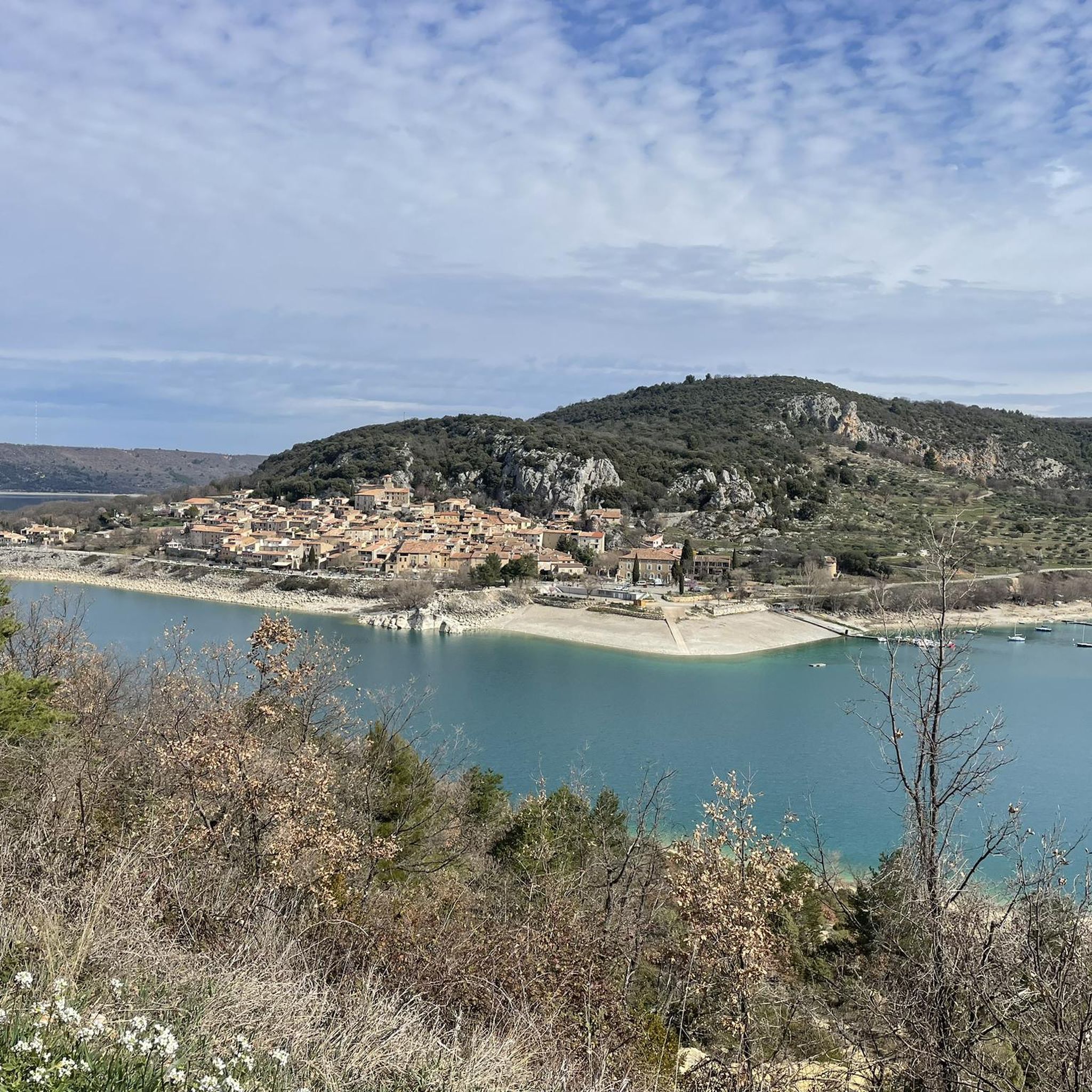
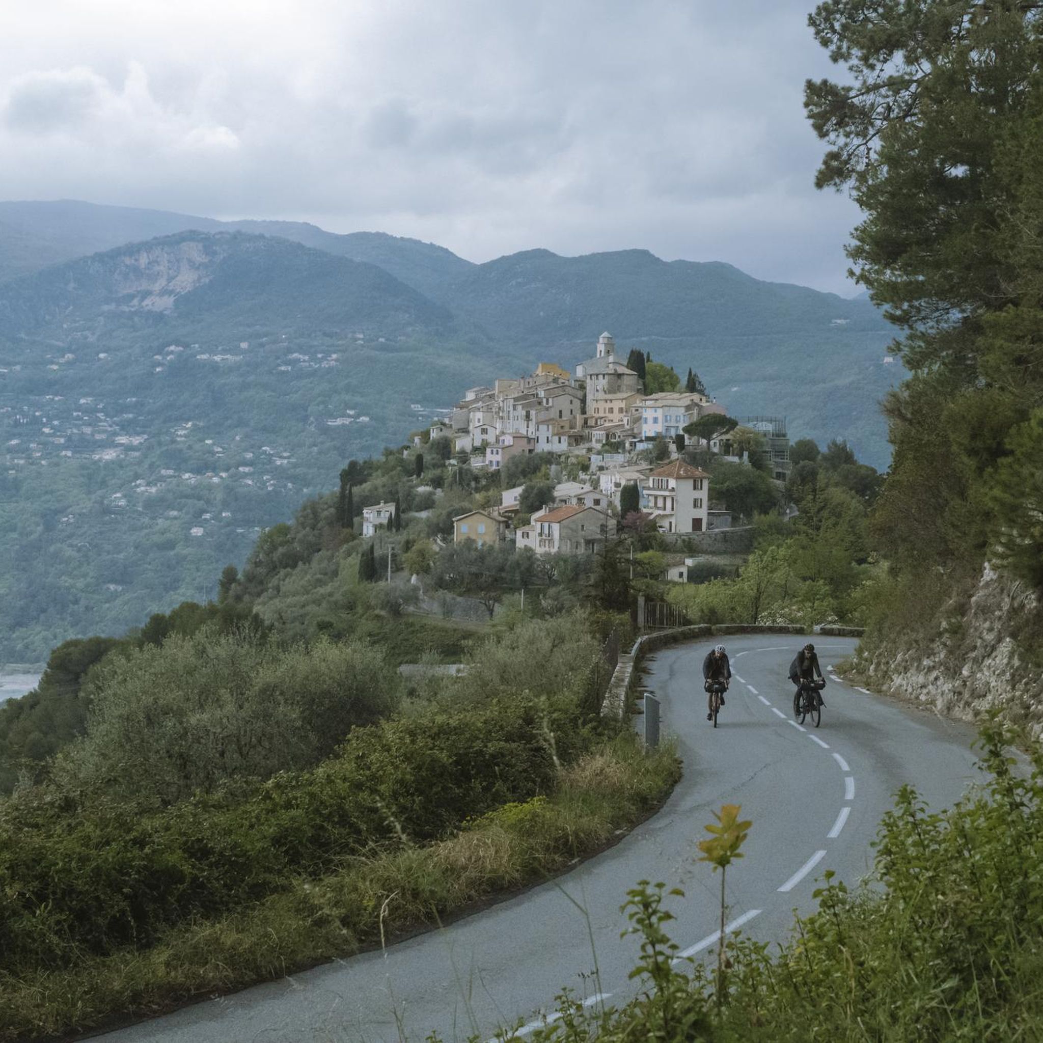
Tips from the Community

Beautiful view overlooking the valley!
0
0
Accessible by gravel (40mm tyres) or by mountain bike, the summit of Mont Férion (1412m) will be your finish line if you are a cyclist in full climb. Your reward will be the panoramic view: from the Alps and the Mercantour, to the Mediterranean, passing through the Paillon valley and the Var valley. You will find a watchtower which serves as a lookout to protect the massifs against fire and even houses a small refuge on the ground floor of the tower with a fireplace to warm walkers in difficulty.
0
0
The watchtower of Mont Férion (1412m), will be your finish line if you are a cyclist in full ascent of Férion. It also serves as a lookout to protect the massifs against fire and even houses a small refuge on the ground floor of the tower with a fireplace to warm walkers in difficulty. The view at the top is panoramic: from the Alps and the Mercantour, to the Mediterranean via the Paillon valley and the Var valley.
0
0

Very nice view of the Plaine du Var / Nice and 360° around.
0
0

Culminating at 1550 meters, Mont Vial is one of the few peaks that can be identified from the sea. From the top, enjoy the beautiful panoramic view of the neighboring peaks!
0
0

Village which dominates the valleys of the Var and the Vésubie, with a very beautiful panorama on the Cap d'Antibes and the Islands of Lérins.
1
0

Mont Férion (1,412 m) dominates the village of Levens. This is the highest point of the Férion range. The building at the top is a necessary DFCI watchtower due to the fire tendency in the area.
3
0
Frequently Asked Questions
What kind of terrain can I expect on the running trails around La Roquette-Sur-Var?
The region offers a highly varied terrain, perfect for different running intensities. You'll find routes with altitudes ranging from 108 to 600 meters, providing options from gentle slopes in the Var valley to more challenging ascents towards the mountains. Expect a mix of riverside paths, olive groves, and trails with panoramic views of both the sea and the Mercantour Park peaks.
How many running routes are available in the La Roquette-Sur-Var area?
There are over 150 running routes around La Roquette-Sur-Var, catering to various fitness levels and preferences. This includes a good mix of easy, moderate, and difficult trails for you to explore.
Are there any easy running routes suitable for beginners or a relaxed jog?
Yes, there are several easy running routes. A popular choice is the Lake Broc loop from Le Broc, which is 2.8 miles (4.5 km) long and offers pleasant views. Another great option for a relaxed run is the Running loop from Saint-Martin-du-Var, an easy 2.4-mile (3.8 km) path through the Var valley landscape.
What are some challenging running trails for experienced runners?
For those seeking a challenge, the area offers demanding routes with significant elevation gain. The Mont Vial – Mont Vial loop from Plan-du-Var is a difficult 15.1-mile (24.3 km) trail through mountainous terrain. Another strenuous option is the Mont Vial – Col du Serse loop from Pont Charles Albert, spanning over 31 km with considerable climbing.
Can I find circular running routes in La Roquette-Sur-Var?
Absolutely. Many of the running routes in the area are designed as loops, allowing you to start and finish at the same point. Examples include the Lake Broc loop from Le Broc and the Running loop from Saint-Martin-du-Var, both offering convenient circular paths.
What kind of scenic views can I expect while jogging in this region?
Jogging here provides breathtaking panoramic views. You'll often see the vast expanse of the sea, the peaks of the Mercantour Park, and the winding Var valley with its olive groves. Many trails, like those leading towards Mont Vial, offer spectacular 180° vistas of the mountainous landscape and other perched villages.
Are there any interesting landmarks or attractions to see along the running routes?
While jogging, you can encounter several points of interest. The village itself features historical elements like the baroque church of St Peter and the ruins of Castel-Viel. Nearby, you might pass by highlights such as the Fort du Mont Chauve d'Aspremont or enjoy views towards the Mont Vial. The Vésubie gorges are also a notable natural feature in the wider area.
What do other runners say about the trails in La Roquette-Sur-Var?
The running routes in La Roquette-Sur-Var are highly regarded by the komoot community, with an average rating of 4.3 stars from over 40 reviews. Runners frequently praise the varied terrain, the stunning panoramic mountain views, and the beauty of the Var river valley, highlighting the diverse options available for all ability levels.
Are there long-distance running trails available near La Roquette-Sur-Var?
Yes, for those looking for longer runs, the area provides several extended trails. The Mont Vial – Col du Serse loop from Pont Charles Albert is a significant 31.4 km route, and the Mont Vial – Mont Vial loop from Plan-du-Var covers 24.3 km, both offering substantial distances and elevation.
Is it possible to access running trails using public transport in the area?
While specific public transport links directly to every trailhead might vary, the Var valley region generally has some public transport options. For detailed information on bus routes and schedules that might connect to trail starting points, it's advisable to check local transport authority websites for services around La Roquette-sur-Var and nearby towns like Saint-Martin-du-Var or Plan-du-Var.
Are there any running routes that pass by water features like lakes or rivers?
Yes, the Var river is a prominent natural feature in the region, offering serene and visually appealing routes along its winding meanders and sandy banks. The Lake Broc loop from Le Broc also provides views of Lake Broc, making it a great option for those who enjoy running near water.
Most popular routes around La Roquette-Sur-Var
Most popular attractions around La Roquette-Sur-Var

Get inspired with the komoot mobile app


Explore more
Browse the best Running Trails & Routes in other regions.
