The best cycling routes around La Roquette-Sur-Var
4.5
(227)
4,375
riders
106
rides
Touring cycling routes around La Roquette-Sur-Var are set within the Var valley, offering views of the Mediterranean Sea and the peaks of Mercantour Park. The landscape features hillsides with olive groves, pine forests, and the winding Var river. Cyclists encounter diverse terrain, including exposed road sections along limestone cliffs in the Gorges de la Vésubie and routes through "perched villages." The area provides varied elevations, from river paths to significant mountain climbs.
Best touring cycling routes around La Roquette-Sur-Var
- The…
Last updated: June 26, 2026
5.0
(1)
97
riders
83.7km
06:03
1,800m
1,800m
Hard bike ride. Very good fitness required. Mostly paved surfaces. Suitable for all skill levels.
4.2
(10)
285
riders
60.5km
03:37
240m
240m
Moderate bike ride. Good fitness required. Mostly paved surfaces. Suitable for all skill levels.

Sign up for free
71
riders
91.1km
06:42
2,100m
2,100m
Hard bike ride. Very good fitness required. Mostly paved surfaces. Suitable for all skill levels.
5.0
(3)
74
riders
21.9km
01:16
70m
70m
Easy bike ride. Great for any fitness level. Mostly paved surfaces. Suitable for all skill levels.
4.3
(7)
62
riders
31.8km
02:07
460m
460m
Hard bike ride. Very good fitness required. Mostly paved surfaces. Suitable for all skill levels.
Get access to more routes and recommendations from other explorers.
Sign up for free
Already have an account?
Our route recommendations are based on thousands of hikes, rides, and runs completed by other people on komoot.
Start today with a free account
Your next adventure awaits.
Login or Signup
Tips from the Community

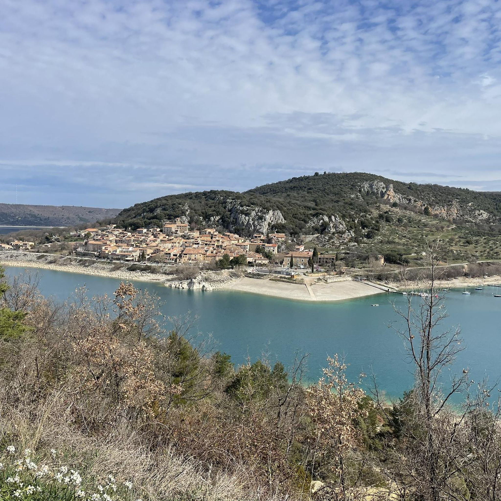
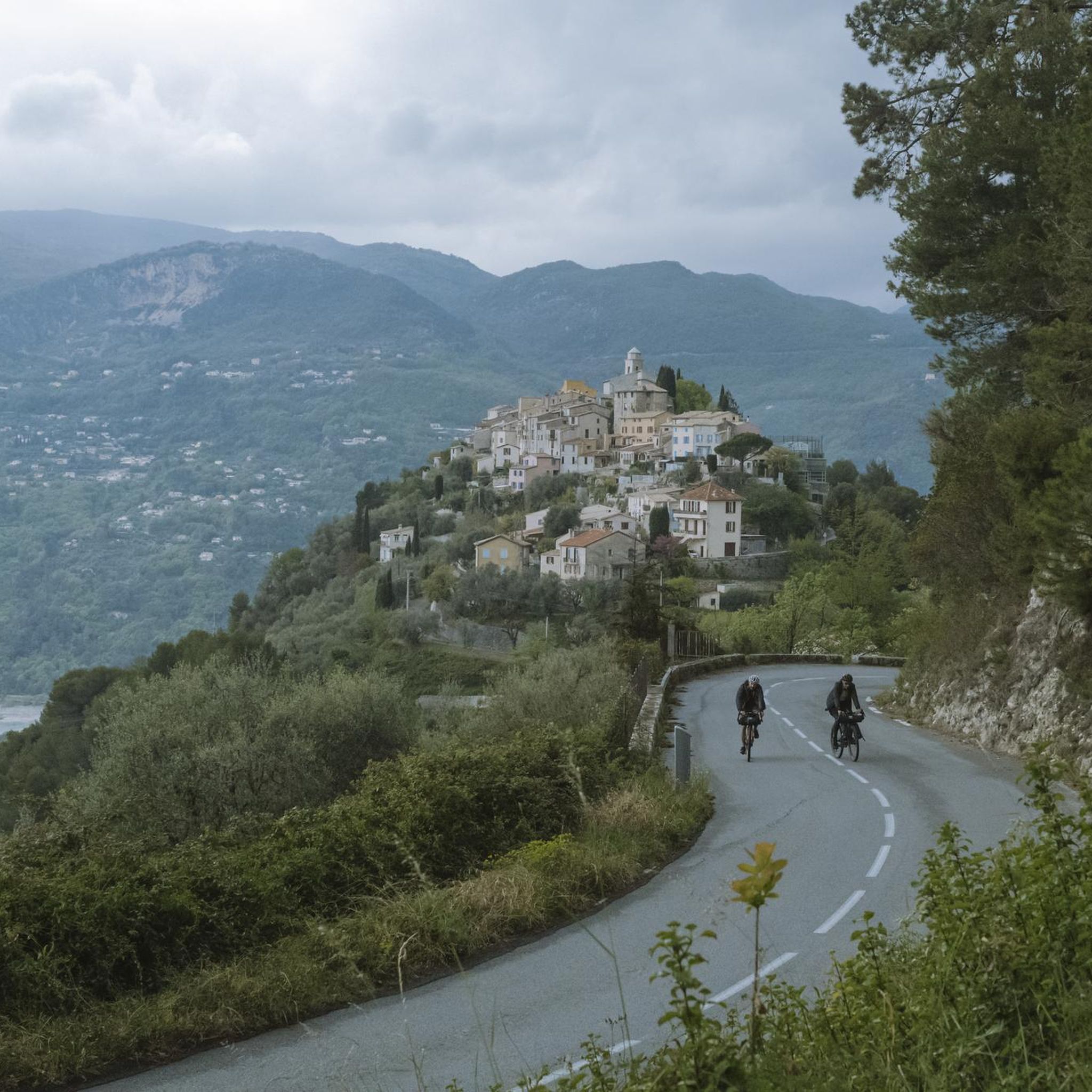
Access to the Village via a long and quiet climb with a super panorama over the Var Valley...
0
0
To access the Runway on the South side near the Airport, make sure you go down towards the Airport to be able to bypass the barrier that runs along the Runway to the North. There is no access through this barrier, which requires you to stay on the road for a while...
0
0
I notice today (19.10.25) that the tunnel is finally clean... 🥳 Ps: See the photo
0
0

The Col Saint-Martin Pass, or Col de la Colmiane, is a mountain pass in the Southern Alps located at an altitude of 1,500 meters in the Alpes-Maritimes department of France. It provides a year-round road link between the Tinée Valley to the west and the Vésubie Valley to the east.
0
0
The Col Saint-Martin Pass, or Col de la Colmiane, is a mountain pass in the Southern Alps located at an altitude of 1,500 meters in the Alpes-Maritimes department of France. It provides a year-round road link between the Tinée Valley to the west and the Vésubie Valley to the east.
0
0
Today 11/09/25, The tunnel is cleared of its reeds; there are still machines in the middle, but passage is possible...
1
0
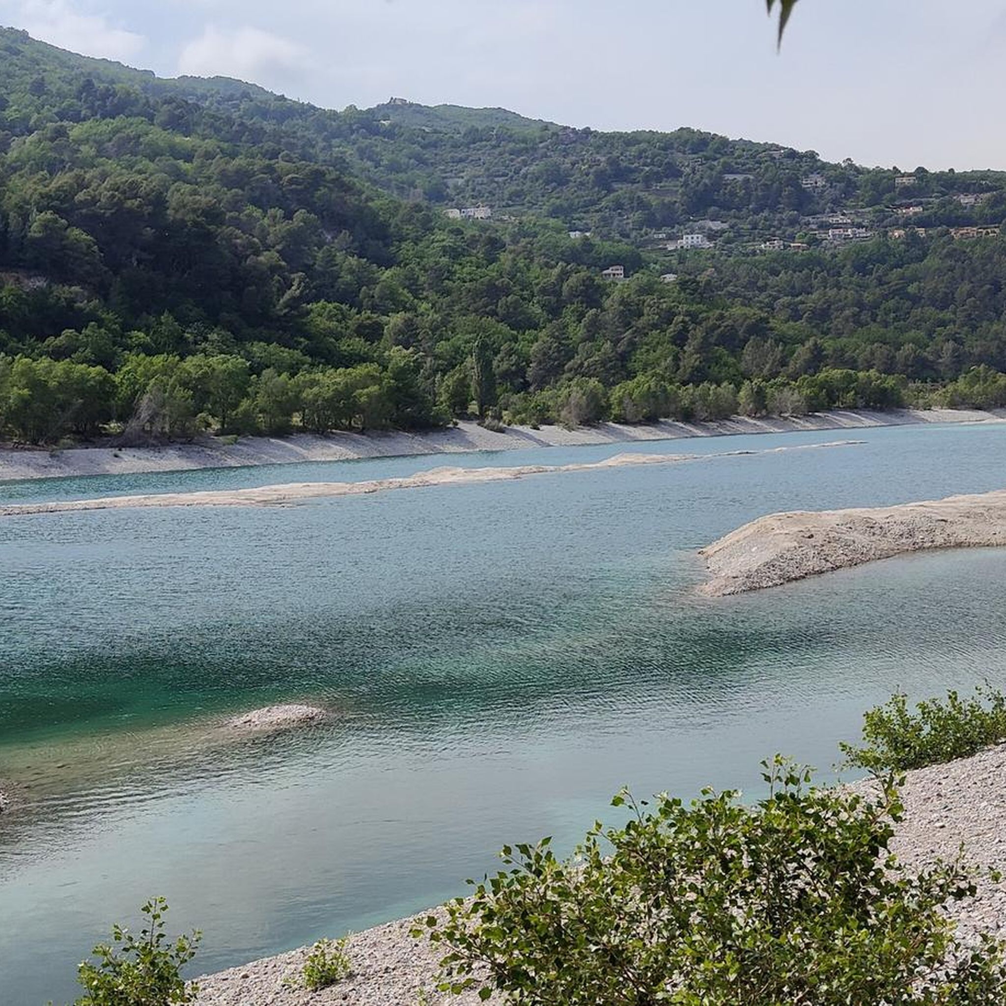
A track that runs alongside the road on the banks of the Var River. It's very passable for all types of bikes and avoids the fairly heavy traffic.
0
0
I passed through there again yesterday (27.07.25)... The tunnel is still very dry, but passage is mandatory on the metal footbridge, as the tunnel is very cluttered with reeds on a thick layer of dried mud... Be careful that another person doesn't come from the opposite direction, thanks to the mirror; because crossing with two bikes will be impossible ...
2
0
Frequently Asked Questions
What kind of terrain can I expect on touring cycling routes around La Roquette-Sur-Var?
The region offers a diverse landscape for touring cyclists. You'll encounter hillsides adorned with olive groves and pine forests, winding sections along the Var river, and dramatic, exposed road sections through limestone cliffs in the Gorges de la Vésubie. Routes also pass through picturesque "perched villages," providing varied elevations from gentle river paths to significant mountain climbs.
Are there any easy touring cycling routes suitable for beginners or families?
Yes, there are routes suitable for easier rides. For instance, the Bicycle and pedestrian access – Esteron Road loop from Pont Charles Albert is an easy route, covering about 21.7 km with minimal elevation gain, making it a good option for a more relaxed experience or families.
What are some challenging touring cycling routes for experienced riders?
Experienced touring cyclists will find plenty of challenging options. The Roquestéron – Riolan Gorge loop from Pont Charles Albert is a difficult 83.7 km route with significant ascents through dramatic gorges. Another demanding option is the Saint-Martin Pass (La Colmiane) – Saint-Martin-Vésubie loop from Pont Charles Albert, which spans over 91 km through mountainous terrain.
What are the typical distances and durations for touring cycling routes in this area?
Routes vary significantly in length and duration. You can find shorter, easy routes around 20-30 km taking a couple of hours, such as the Bicycle and pedestrian access – Esteron Road loop. Longer, more challenging routes can extend up to 90 km or more, often requiring 6-7 hours to complete, like the Saint-Martin Pass (La Colmiane) – Saint-Martin-Vésubie loop.
What kind of attractions or landmarks can I see along the touring cycling routes?
The region is rich in natural beauty and historical sites. Along your rides, you might encounter the breathtaking Vésubie gorges, the charming Village of Saint-Jeannet, or historical sites like the Fort du Mont Chauve d'Aspremont. The area also features several mountain passes, including Ferres Pass and Mont Vial, offering stunning panoramic views.
Are there any circular touring cycling routes available?
Yes, many of the touring cycling routes in the area are designed as loops, allowing you to start and finish in the same location. Examples include the Var Bike Path – Chemin des Berges loop from Plan-du-Var and the challenging Bonson Village – Mont Vial Switchbacks loop from Saint-Martin du Var.
What is the best time of year for touring cycling in La Roquette-Sur-Var?
The region benefits from a Mediterranean climate, making spring and autumn ideal for touring cycling. These seasons offer pleasant temperatures and less intense sun than summer, which can be quite hot, especially on climbs. Winter cycling is possible, but higher elevation routes might be affected by colder temperatures or occasional snow.
How many touring cycling routes are available around La Roquette-Sur-Var?
There are over 100 touring cycling routes available around La Roquette-Sur-Var. These routes cater to various skill levels, with options ranging from easy riverside paths to very difficult mountain ascents.
What do other touring cyclists enjoy most about cycling in La Roquette-Sur-Var?
The touring cycling routes around La Roquette-Sur-Var are highly rated by the komoot community, with an average score of 4.5 stars from over 220 reviews. Cyclists often praise the diverse terrain, from the tranquil Var valley to the dramatic Gorges de la Vésubie, and the stunning panoramic views of the Mediterranean Sea and Mercantour Park.
Is public transport available to access touring cycling routes in the area?
La Roquette-Sur-Var is part of the Métropole Nice Côte d'Azur area, which generally has public transport options. While specific bike transport on buses or trains can vary, you can often reach starting points of routes by public transport, especially in larger towns nearby. It's advisable to check local bus or train schedules and bike policies in advance.
Where can I park my car when starting a touring cycling route?
Parking is generally available in and around the villages that serve as starting points for many routes, such as La Roquette-Sur-Var itself or Pont Charles Albert. Look for designated parking areas within these villages. For routes starting in more remote locations, roadside parking might be an option, but always ensure it's safe and permissible.
Most popular routes around La Roquette-Sur-Var
Most popular attractions around La Roquette-Sur-Var

Get inspired with the komoot mobile app


Explore more
Browse the best Cycling routes in other regions.
