The best MTB trails around Banca
4.3
(100)
930
riders
108
rides
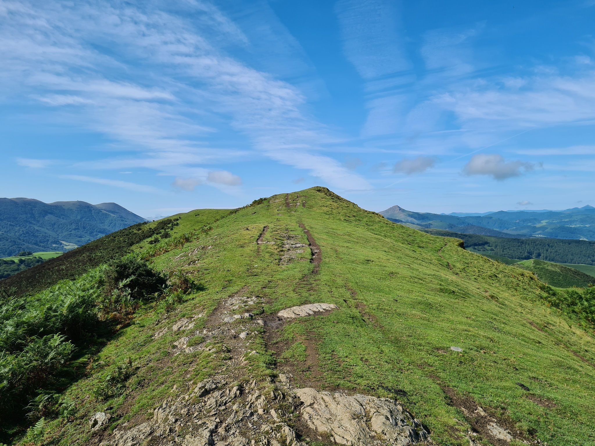
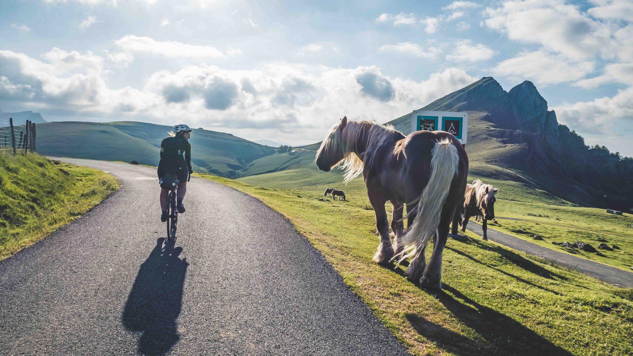
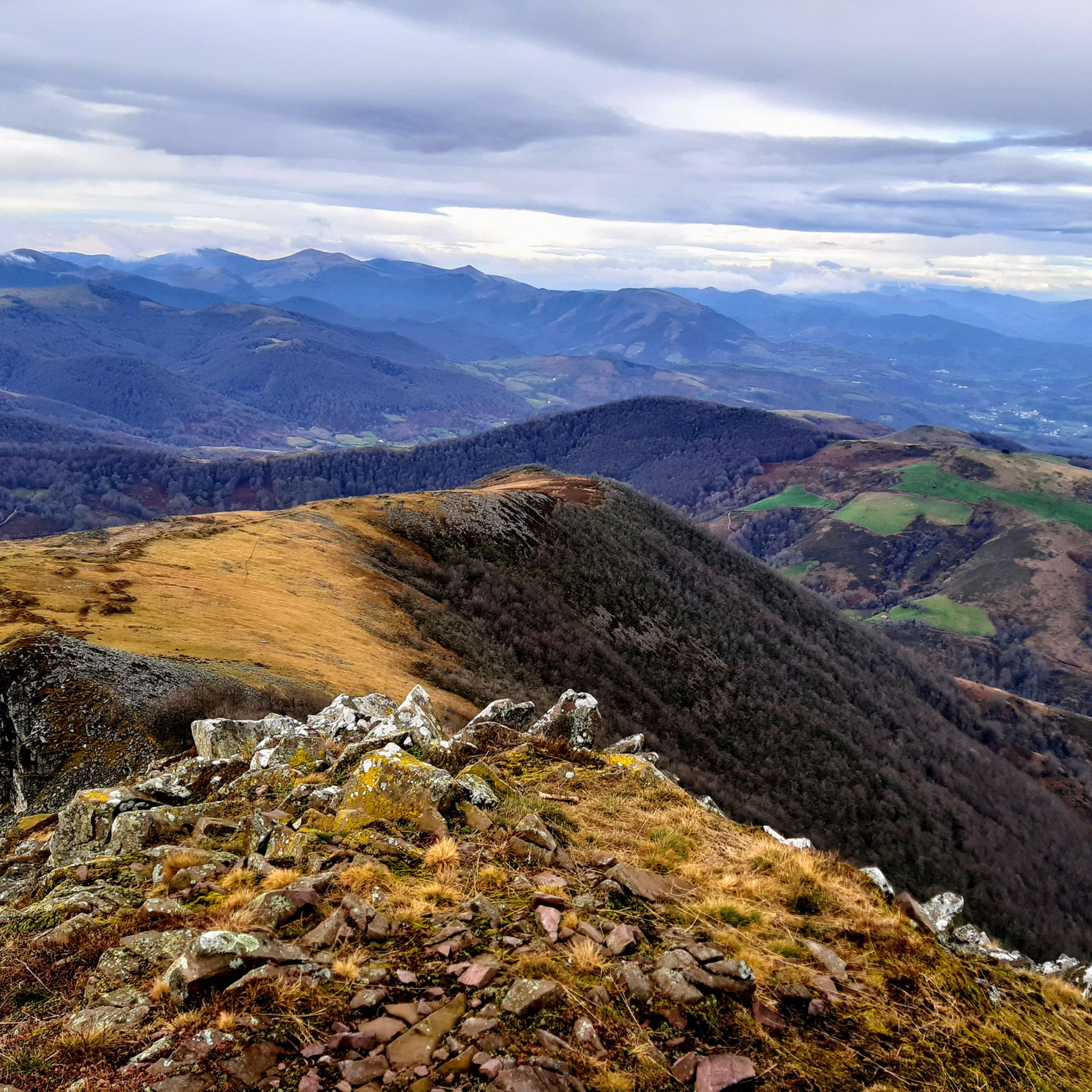
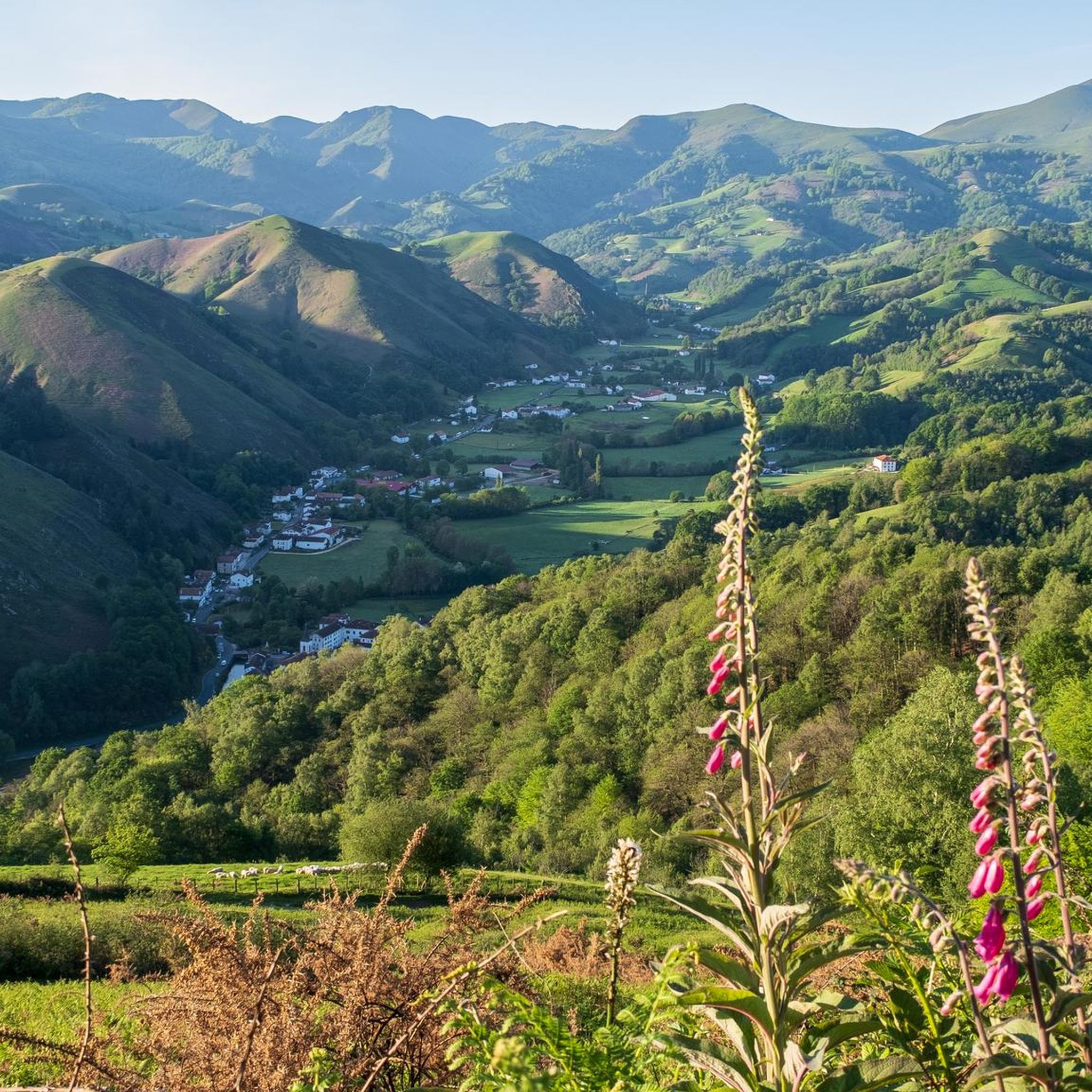
Mountain biking around Banca offers a diverse landscape within the French Basque Country, characterized by the foothills of the Pyrenees. The terrain features significant elevation changes, with a mix of forested areas, open mountain pastures, and winding paths. This region provides a challenging environment for mountain bikers seeking varied trails and natural features.
Best mountain bike trails around Banca
- The most popular mountain bike trail is Urepel and Col de Lindus Loop, a 22.9 miles (36.9 km) trail that…
Last updated: May 26, 2026
36.9km
03:44
1,290m
1,290m
This difficult 22.9-mile mountain bike trail near Urepel offers challenging terrain and panoramic views along the Spanish border.
5.0
(1)
18
riders
53.2km
04:02
1,200m
1,210m
Hard mountain bike ride. Very good fitness required. Suitable for all skill levels.

Sign up for free
4.5
(2)
9
riders
39.9km
03:52
1,260m
1,260m
Hard mountain bike ride. Very good fitness required. Suitable for all skill levels.
4.5
(4)
7
riders
17.8km
02:10
680m
680m
Hard mountain bike ride. Good fitness required. Advanced riding skills necessary. Some portions of the route may require you to push your bike.
8
riders
63.3km
04:34
1,310m
1,310m
Hard mountain bike ride. Very good fitness required. Suitable for all skill levels.
Get access to more routes and recommendations from other explorers.
Sign up for free
Already have an account?
Our route recommendations are based on thousands of hikes, rides, and runs completed by other people on komoot.
Start today with a free account
Your next adventure awaits.
Login or Signup


Other adventures around Banca


Tips from the Community

The gas station shop is a full resupply if needed. They have ziplocks, toothbrushes, plenty of food, good cheeses and drinks. They have french canister fuel and are very friendly.
0
0
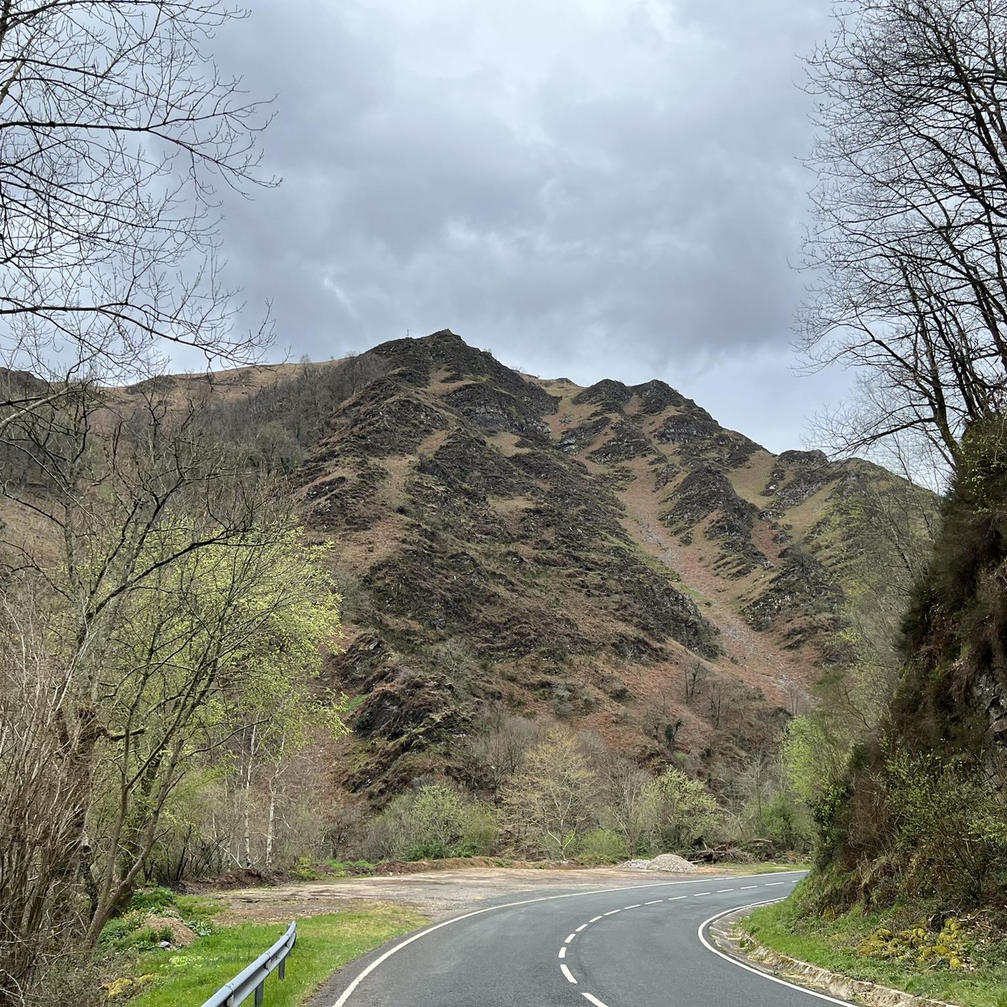
Walk from the Ispeguy pass, narrow path, best worn in hiking shoes, some scree slopes, magnificent view!
2
0


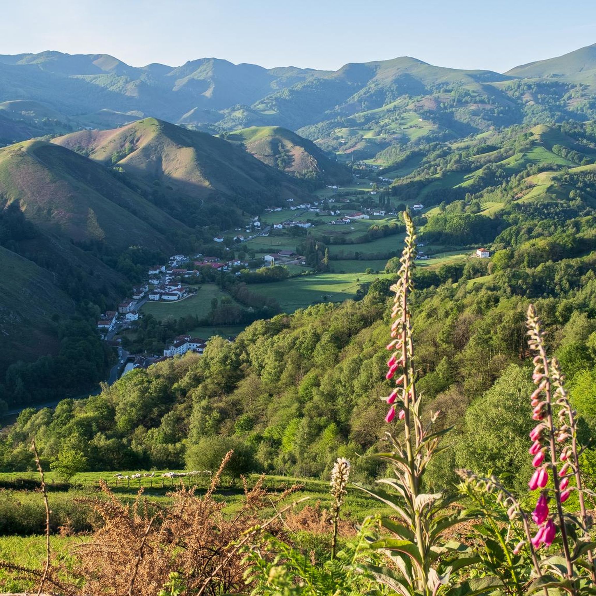
Located in the Aldudes valley, in France, this village is located in a privileged area of the eastern French Pyrenees. It is worth visiting it leisurely by bike.
0
0
It is a beautiful border pass between Spain and France, well known for being part of the most traditional route of the Camino de Santiago. Sportingly, the climb on both sides is easy, although on the French side it is much longer as it starts at a lower altitude. The Spanish side is just 6 km from Burguete, the last being the most difficult with an average gradient of 7%. On this side you pass the famous and well-known monastery of Roncesvalles. The French side is 18 km from Arnegui and an average gradient of 4%. The hardest part is 5 km from the summit, with one kilometre at 7%. The landscape on this side is of lush vegetation going up a very closed valley that hardly leaves room for views of the surrounding mountains. The road is very twisty. It is a port with very good asphalt and a lot of traffic in general... so, be careful!
1
0

The Ibañeta Pass, also known as the Roncesvalles Pass, is a scenic mountain pass in the Pyrenees, near the border between France and Spain. At an altitude of 1,057 metres, it offers breathtaking views and a rich historical background. The pass is best known for the Battle of Roncevaux in 778, a legendary event sung about in the epic poem “The Song of Roland”. A menhir marks the traditional site of this battle, emphasising the historical significance of the location.
2
0

A great climb up to the pass. Once you reach the top you get a great view. There is a small church at the top and also a monument. There has always been a hospital up here. However, only the foundations of it remain
2
0

Roland, who is commemorated here, died in 778 as part of the rear guard of Charlemagne's Frankish army. He himself was Margrave of Brittany and was the victim of a Basque revenge campaign against the Frankish conquerors who were retreating from a failed Saracen campaign. Those were complicated times, but things were not to become any less complicated in the Basque Country in the centuries that followed. An epic/song was later sung about Roland, which is part of world literature. The monument itself is simple and rough, exposed up here in the wind of the weather, and can therefore have an immediate effect, without pomp and splendor. Great! https://de.wikipedia.org/wiki/Schlacht_von_Roncesvalles
2
0
Frequently Asked Questions
How many mountain bike trails are available around Banca?
There are over 100 mountain bike trails around Banca, offering a wide range of options for different skill levels. The majority of these routes, around 70, are classified as difficult, with 33 moderate and 3 easy trails also available.
What kind of terrain can I expect on mountain bike trails in Banca?
Mountain biking around Banca is characterized by the diverse landscape of the French Basque Country, nestled in the foothills of the Pyrenees. You can expect significant elevation changes, with a mix of forested areas, open mountain pastures, and winding paths. The terrain is generally challenging, offering a rewarding experience for mountain bikers.
Are there any family-friendly mountain bike trails in Banca?
While Banca is known for its challenging routes, there are a few easier options suitable for families or beginners. The guide data indicates 3 easy trails. For a more relaxed experience, look for routes with less elevation gain and shorter distances. Always check the route details on komoot for specific difficulty ratings and terrain descriptions to ensure it's suitable for your family's skill level.
Can I bring my dog on the mountain bike trails around Banca?
Many trails in the French Basque Country are dog-friendly, especially those in natural, less populated areas. However, it's always best to check local regulations and trail-specific rules before heading out. Ensure your dog is well-behaved, on a leash where required, and that you carry waste bags. Some trails might pass through protected areas or private land where dogs may have restrictions.
What are some notable natural features or viewpoints I can see while mountain biking in Banca?
The trails around Banca offer stunning views of the Pyrenean foothills and access to several natural landmarks. You might encounter impressive summits like Iparla Peak or Munhoa Summit. There's also the beautiful Xorroxin Waterfall and various mountain passes such as Ispéguy Pass and Ibañeta Pass, which often provide panoramic vistas.
Are there any circular mountain bike routes around Banca?
Yes, many of the mountain bike routes around Banca are designed as loops, allowing you to start and end at the same point. Examples include the challenging Urepel and Col de Lindus Loop, which covers nearly 37 km, or the View of the Col de Lindus – Urepel loop from Banca, a 40.6 km ride. These circular routes are convenient for planning your day.
What do other mountain bikers say about the trails in Banca?
The mountain bike trails around Banca are highly regarded by the komoot community, holding an average rating of 4.3 stars from over 100 reviews. More than 1000 mountain bikers have used komoot to explore this region, often praising the challenging mountainous terrain, the dense forest paths, and the rewarding climbs that offer spectacular views of the Pyrenean foothills.
What is the best time of year for mountain biking in Banca?
The French Basque Country, including Banca, experiences a temperate climate. Spring and autumn generally offer the most pleasant conditions for mountain biking, with milder temperatures and less extreme weather. Summer can be warm, especially at lower elevations, while winter may bring colder temperatures and snow at higher altitudes in the Pyrenees, making some trails inaccessible. Always check local weather forecasts before your ride.
Are there options for advanced mountain bikers seeking a challenge?
Absolutely. Banca is particularly well-suited for advanced mountain bikers, with 70 out of 106 routes classified as difficult. Trails like the Saint-Jean-Pied-de-Port – Ibañeta Pass loop from Luzaide, spanning over 54 km with significant elevation gain, or the Saint-Jean-Pied-de-Port – Saint-Étienne-de-Baïgorry loop from Luzaide, at over 64 km, provide extensive and demanding rides through mountainous terrain.
Where can I find accommodation or places to eat near the mountain bike trails in Banca?
Banca is a village in the French Basque Country, and while specific data on cafes and accommodation directly on the trails isn't available, the surrounding region offers various options. You'll find guesthouses, small hotels, and local restaurants in Banca itself and in nearby villages. For a wider selection, consider towns like Saint-Jean-Pied-de-Port, which is a well-known hub in the area and a starting point for some routes.
How long do mountain bike trails around Banca typically take to complete?
The duration of mountain bike trails in Banca varies significantly based on their distance and difficulty. For instance, a challenging route like the Urepel and Col de Lindus Loop (36.9 km) typically takes around 3 hours and 44 minutes. Shorter, difficult routes such as the Aldudes Village – Hargibel loop from Aldudes (17.79 km) can be completed in about 2 hours and 10 minutes. Always check the estimated duration on komoot for each specific route.
Most popular attractions around Banca

Get inspired with the komoot mobile app


Explore more
Browse the best MTB trails in other regions.
