The best road cycling routes around Saint-Pons-De-Thomières
4.7
(41)
917
riders
24
rides
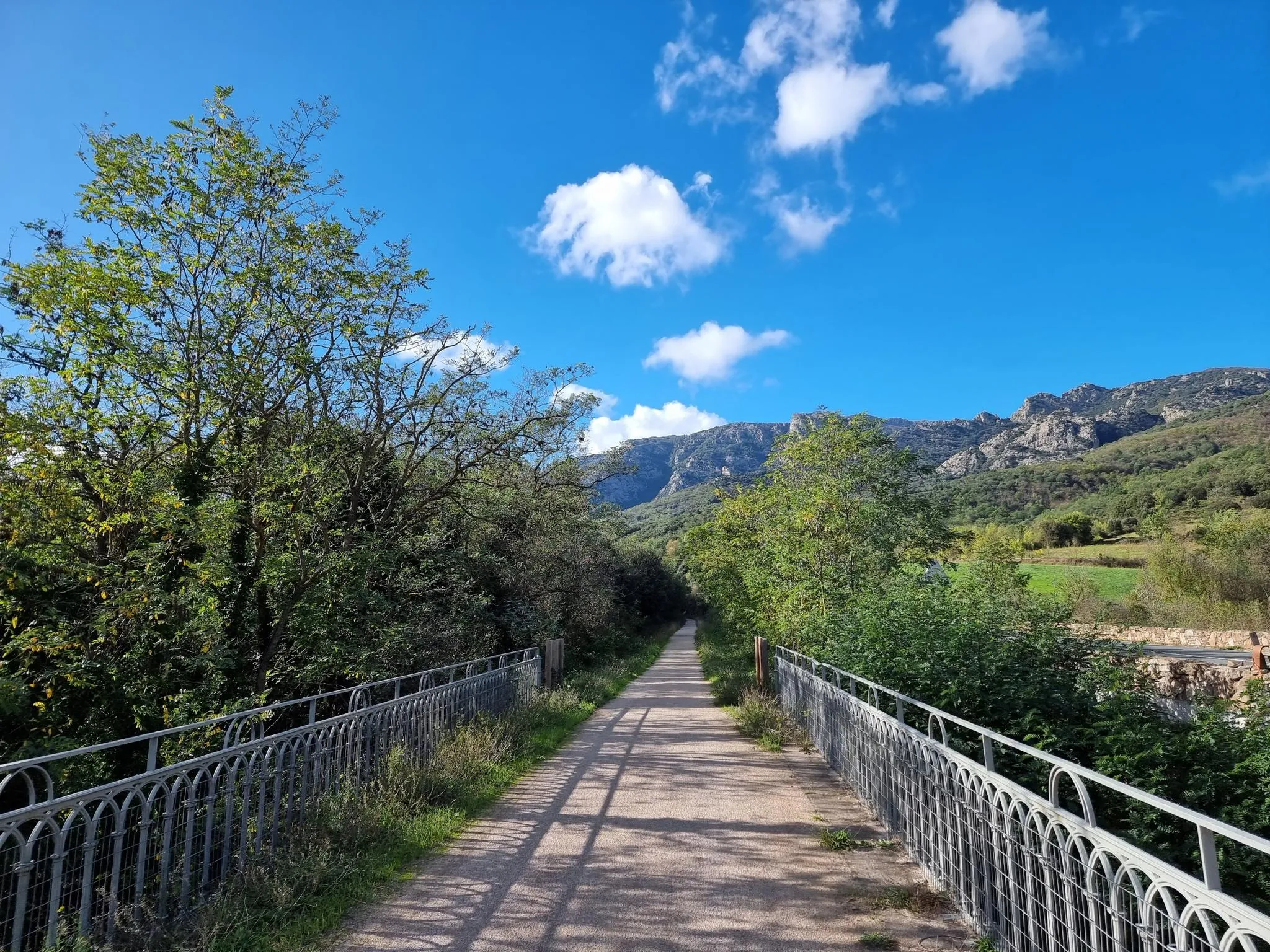
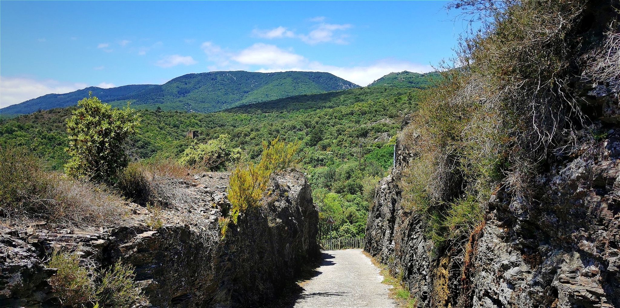
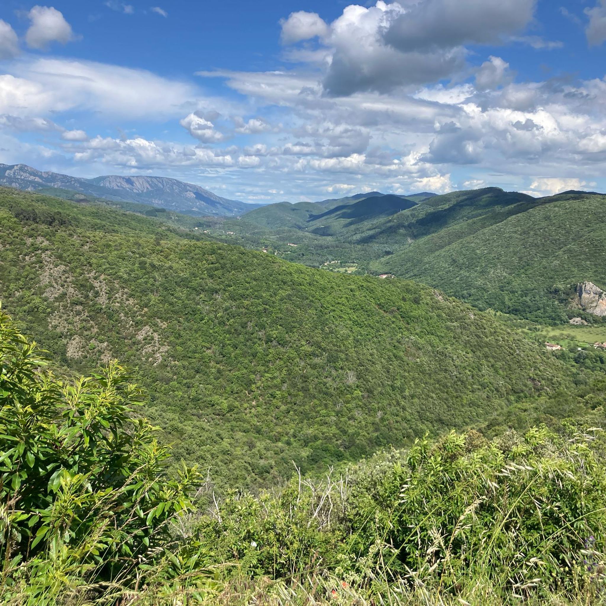
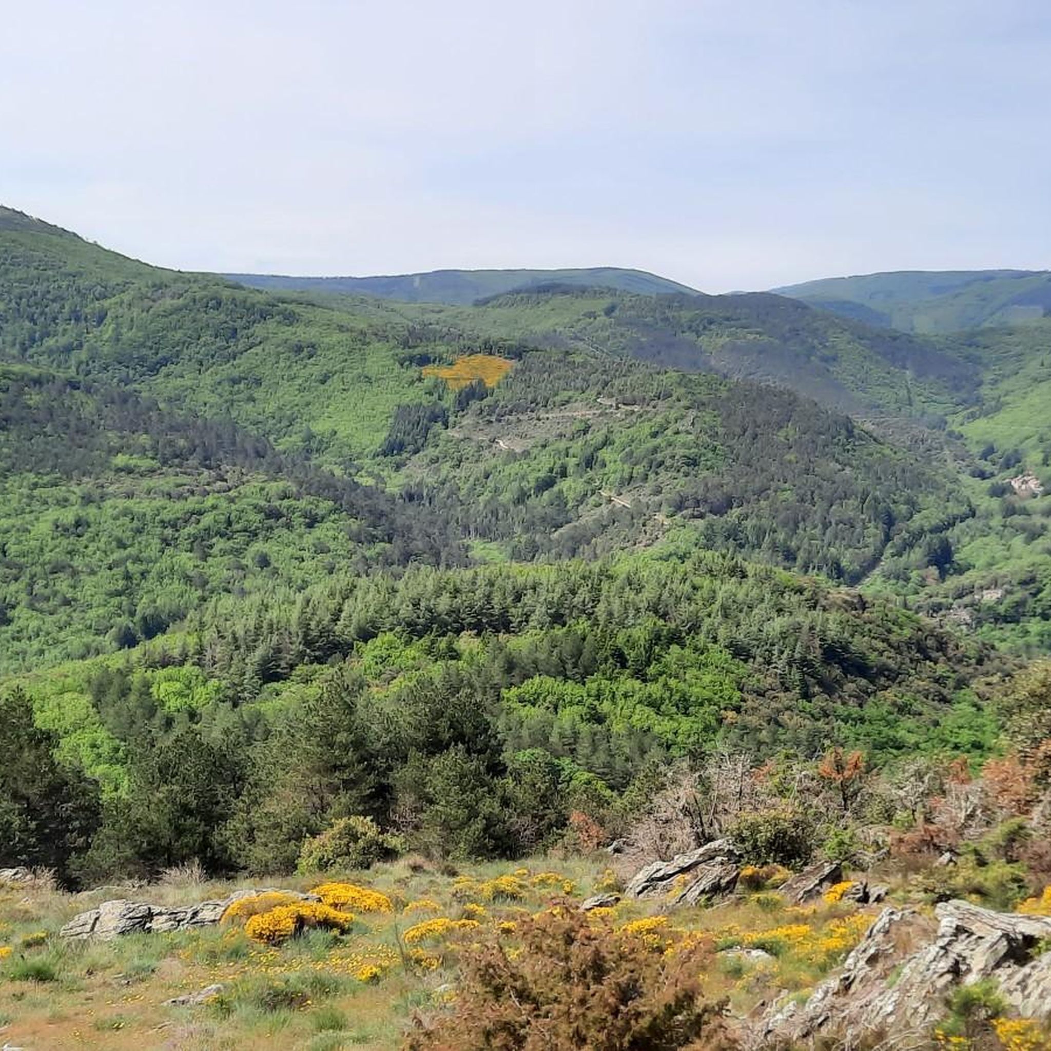
Road cycling routes around Saint-Pons-De-Thomières are set within the Haut-Languedoc Regional Natural Park. The region features a diverse geology of limestones and shales, with the foothills of the Massif Central providing varied terrain. Cyclists can explore green valleys like the Jaur Valley, alongside forests and garrigue, with views of the Caroux Massif and Montagne Noire.
Best road cycling routes around Saint-Pons-De-Thomières
- The most popular road cycling route is Tour of Lac de la Raviège, a 42.4 miles (68.3 km)…
Last updated: July 7, 2026
5.0
(1)
18
riders
68.3km
03:05
1,460m
1,460m
Hard road ride. Very good fitness required. Mostly well-paved surfaces and easy to ride.
5.0
(5)
96
riders
53.9km
03:03
1,170m
1,170m
Hard road ride. Very good fitness required. Some segments of this route may be unpaved and difficult to ride.

Sign up for free
35
riders
Moderate road ride. Good fitness required. Mostly well-paved surfaces and easy to ride.
5.0
(1)
40
riders
74.6km
04:35
1,430m
1,430m
Hard road ride. Very good fitness required. Some segments of this route may be unpaved and difficult to ride.
5.0
(1)
26
riders
57.0km
03:19
1,150m
1,150m
Hard road ride. Very good fitness required. Some segments of this route may be unpaved and difficult to ride.
Get access to more routes and recommendations from other explorers.
Sign up for free
Already have an account?
Our route recommendations are based on thousands of hikes, rides, and runs completed by other people on komoot.
Start today with a free account
Your next adventure awaits.
Login or Signup
Popular around Saint-Pons-De-Thomières
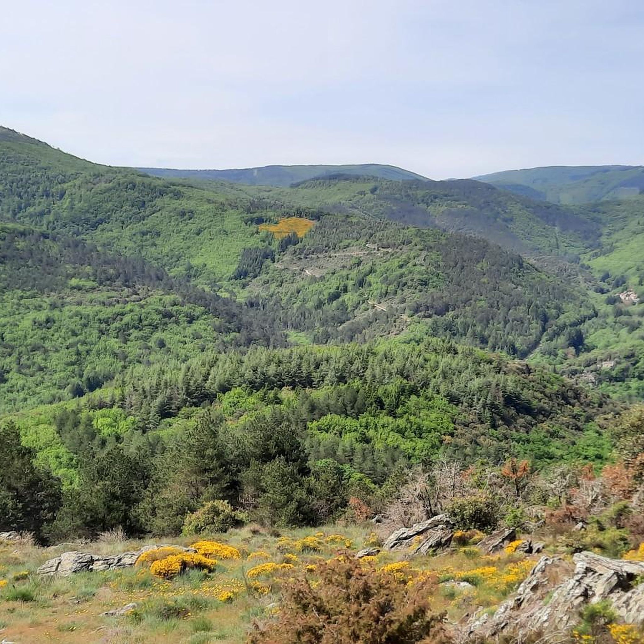
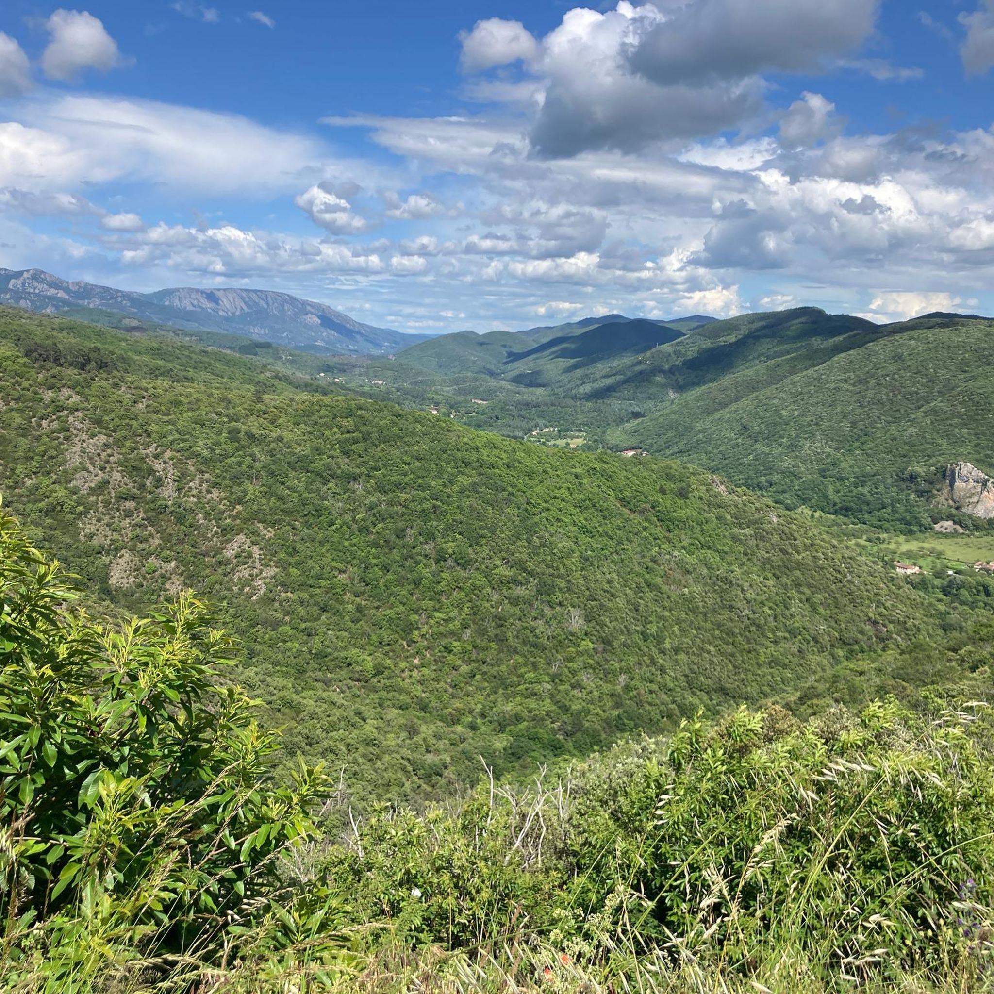
Other adventures around Saint-Pons-De-Thomières


Tips from the Community

The D57 descends towards Riols through a quiet and shaded forest road, between gentle bends and the wooded atmosphere of the Haut-Languedoc. A pleasant section transitioning to the valley.
0
0
Located in the Jaur valley, in the heart of the Hauts cantons of the Hérault, Riols is a vast rural village typical of the Haut-Languedoc. The village is intimately linked to the history of the abbey of Saint-Pons-de-Thomières, founded in the 10th century, on which it long depended. From the Middle Ages onwards, Riols was part of a network of monastic possessions. Even today, the old center retains its valley setting, crossed by the Jaur, around which the main routes and activities developed. The Pont-Vieux and several structures on the river bear witness to this close relationship between the village and its watercourse.
0
0
This wide turn reveals a superb panorama of the mountain. In the foreground, the D14 winds up the slope with beautifully drawn switchbacks. Further on, several characteristic reliefs of the Haut-Languedoc stand out, succeeding each other to the horizon. One of the most beautiful panoramas of the ascent!
0
0

In the huge caves there are many nesting places for the birds. Grand to stand there and admire the natural spectacle.
0
0

A landmark on the way to Minerve. You'll face a bit of a climb.
0
0

Very picturesque village of Roquebrun
0
0
Great food at Petit Nice, fantastic view from the terrace.
1
0

The lake region, the Black Mountain, an unmissable playground
0
0
Frequently Asked Questions
How many road cycling routes are available around Saint-Pons-De-Thomières?
There are over 25 road cycling routes around Saint-Pons-De-Thomières, offering a wide range of options for different skill levels. The komoot community has explored 28 routes in total, with 1 easy, 7 moderate, and 20 difficult options.
What kind of terrain can I expect when road cycling in Saint-Pons-De-Thomières?
The region offers incredibly diverse terrain, nestled within the Haut-Languedoc Regional Natural Park. You'll encounter green valleys like the Jaur Valley, limestone and shale geology, and the challenging foothills of the Massif Central. Expect views of the Caroux Massif and Montagne Noire, with some routes featuring significant elevation gain.
Are there options for less experienced road cyclists in the region?
Yes, while many routes offer significant challenges, there are options for less experienced cyclists. The region features 1 easy and 7 moderate routes. For instance, the Olargues Railway Bridge – View of Olargues Village loop from Saint-Pons-de-Thomières is a moderate 43.7 km ride with manageable elevation, offering beautiful scenery.
What are some of the most scenic natural features to see while road cycling here?
The area is rich in natural beauty. You can cycle past the stunning Vésoles Waterfall, enjoy views of Lake Vésoles, or explore the wild beauty of the Gorges d'Héric. The Jaur Valley itself provides a picturesque backdrop for many rides, and you can also find viewpoints like Roc Suzadou Viewpoint.
Are there any historical villages or cultural sites accessible by road bike?
Absolutely. The region is dotted with charming villages and historical sites. You can cycle to Minerve, one of France's most beautiful villages, or visit Riols, located on the Passa Païs greenway. Olargues, another 'Plus Beaux Villages de France' with its iconic Pont Eiffel, is also a remarkable stop along many routes, such as the Riols – Olargues Railway Bridge loop from Saint-Pons-de-Thomières.
What is the best time of year for road cycling in Saint-Pons-De-Thomières?
The region experiences pleasant temperatures and minimal rainfall during certain months, making July and August ideal for road cycling. These conditions are perfect for exploring the diverse terrain, from green valleys to the foothills of the Massif Central.
Can I find circular road cycling routes in the area?
Yes, many of the road cycling routes around Saint-Pons-De-Thomières are designed as loops, allowing you to start and finish in the same location. Examples include the challenging Vision – Fontfroide Pass loop from Saint-Pons-de-Thomières or the scenic Pont de Vieussan – View of the village of Ceps loop from Saint-Pons-de-Thomières.
Are there any long-distance road cycling trails near Saint-Pons-De-Thomières?
Yes, the region is home to the Passa Païs Greenway (Voie Verte), a significant car-free route that follows former railway lines, offering a safe and scenic passage. While not exclusively a road cycling route, it connects to many road cycling opportunities. For longer road cycling tours, you can explore routes like the Tour of Lac de la Raviège, which covers 68.3 km.
What do other road cyclists enjoy the most about road cycling in Saint-Pons-De-Thomières?
The area is highly rated by the komoot community, with an average score of 4.96 stars from over 20 reviews. Cyclists often praise the diverse landscapes, from green valleys to mountain views, and the variety of routes catering to different fitness levels. The well-maintained roads and the opportunity to explore charming villages and natural parks are also frequently highlighted.
Is Saint-Pons-De-Thomières suitable for family-friendly road cycling?
While many routes are challenging, the presence of the Passa Païs Greenway (Voie Verte) offers car-free sections that can be suitable for families or those seeking a more relaxed ride. For specific family-friendly road cycling routes, it's best to check individual route descriptions for difficulty and terrain suitability.
Are there any specific challenges for advanced road cyclists in the area?
Advanced road cyclists will find plenty of challenges, with 20 out of 28 routes rated as difficult. Routes often feature significant elevation gains, such as a 68.8 km route with 1,680m of ascent, or a 93.9 km route with over 2110m of cumulative ascent. The foothills of the Massif Central and the Monts du Somail provide demanding climbs and descents.
Where can I find information about cycling infrastructure or services in the region?
The region boasts a well-developed cycling infrastructure, including the popular Passa Païs Greenway. For more detailed information on cycling services, routes, and potentially cycle-friendly accommodations, you can consult resources like France Vélo Tourisme, which provides insights into regional cycling opportunities.
Most popular routes around Saint-Pons-De-Thomières
Most popular attractions around Saint-Pons-De-Thomières

Get inspired with the komoot mobile app


Explore more
Browse the best Road cycling routes in other regions.
