The best running trails around Oris-En-Rattier
4.3
(30)
1,697
runners
143
runs
Jogging routes around Oris-En-Rattier traverse a diverse landscape within the Isère region, characterized by mountainous terrain, dense forests, and serene lakes. The area features significant elevation changes, with routes winding through valleys and ascending towards peaks. This topography provides varied running experiences, from challenging uphill sections to more gentle, scenic paths.
Best jogging routes around Oris-En-Rattier
- The most popular jogging route is Valbonnais – View of Vallée du Vénéon loop from Valbonnais, an 8.3 miles (13.3 km) trail that…
Last updated: July 1, 2026
4.0
(1)
17
runners
5.97km
00:41
80m
80m
Hard run. Good fitness required. Sure-footedness, sturdy shoes and alpine experience required.
4.0
(1)
17
runners
16.1km
02:19
480m
480m
Hard run. Very good fitness required. Sure-footedness, sturdy shoes and alpine experience required.

Sign up for free
3.0
(1)
14
runners
12.9km
01:28
220m
210m
Hard run. Good fitness required. Sure-footedness, sturdy shoes and alpine experience required.
11
runners
9.37km
02:22
1,010m
1,010m
Hard run. Very good fitness required. Sure-footedness, sturdy shoes and alpine experience required.
9
runners
24.3km
02:55
570m
570m
Hard run. Very good fitness required. Sure-footedness, sturdy shoes and alpine experience required.
Get access to more routes and recommendations from other explorers.
Sign up for free
Already have an account?
Our route recommendations are based on thousands of hikes, rides, and runs completed by other people on komoot.
Start today with a free account
Your next adventure awaits.
Login or Signup
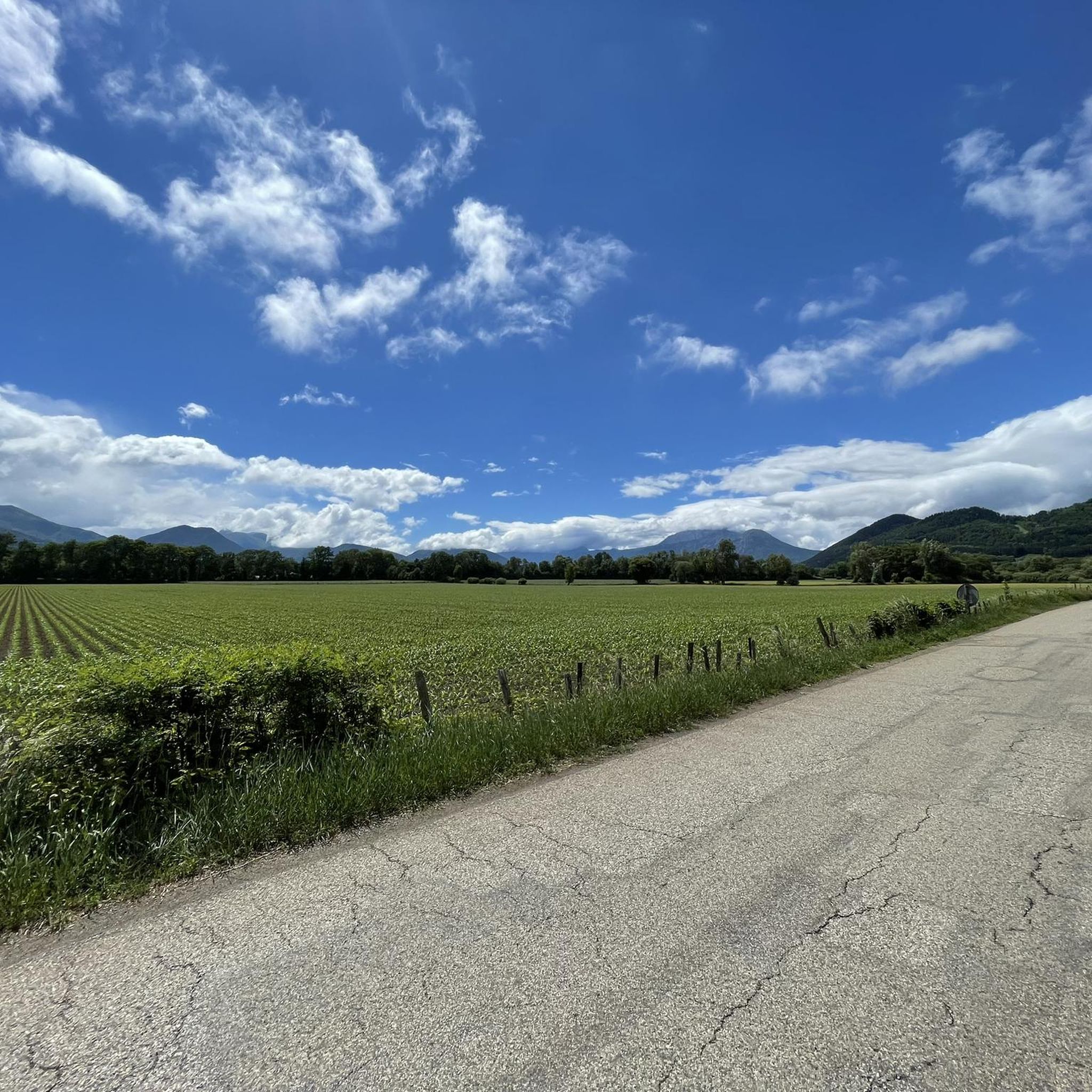
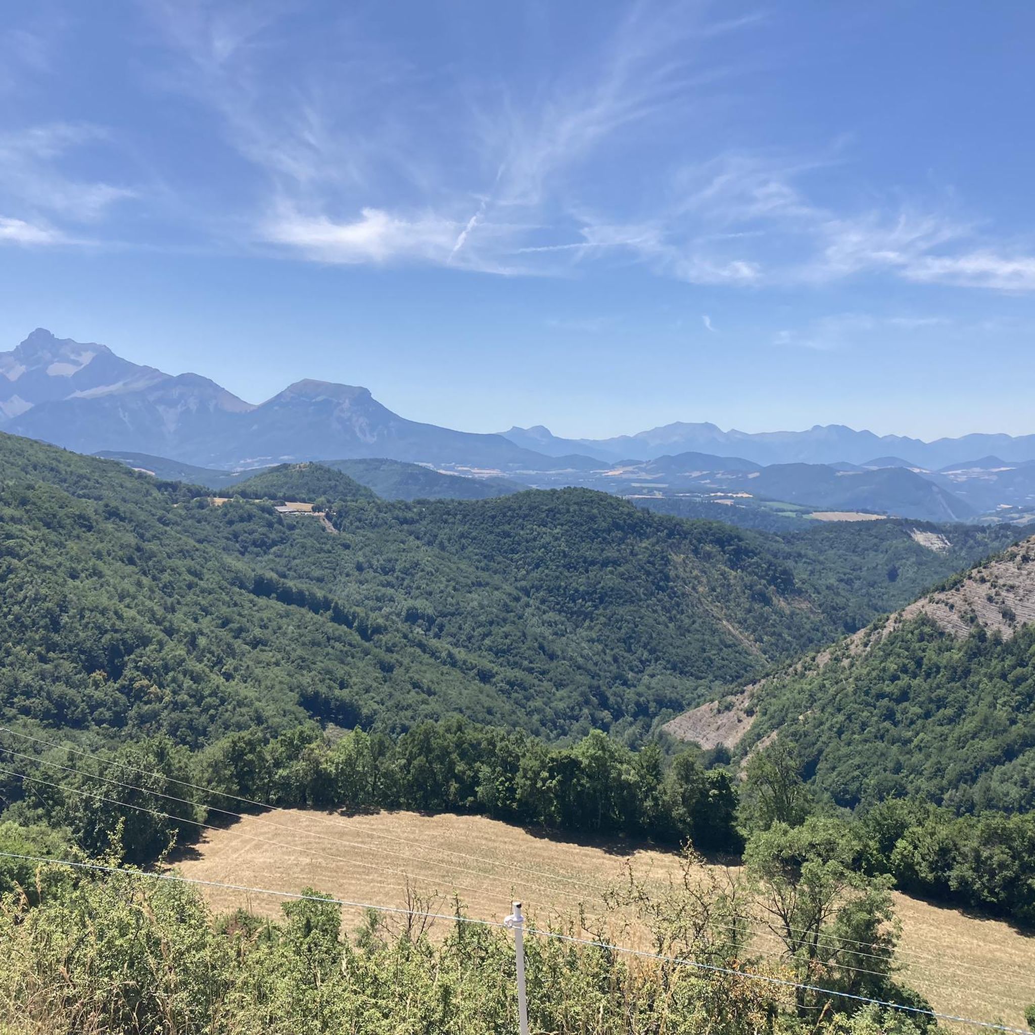
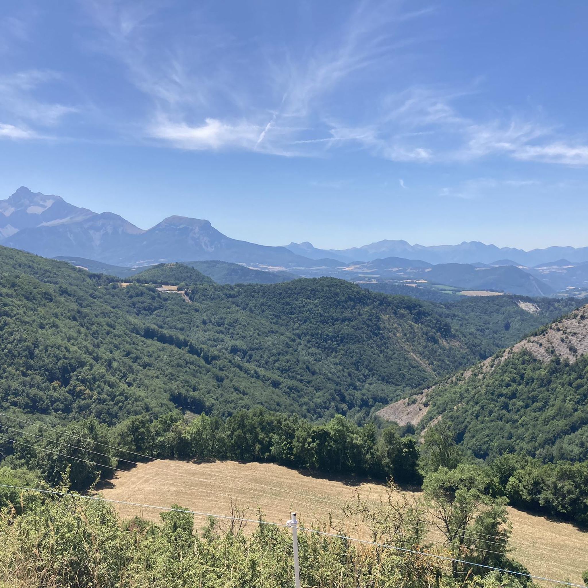
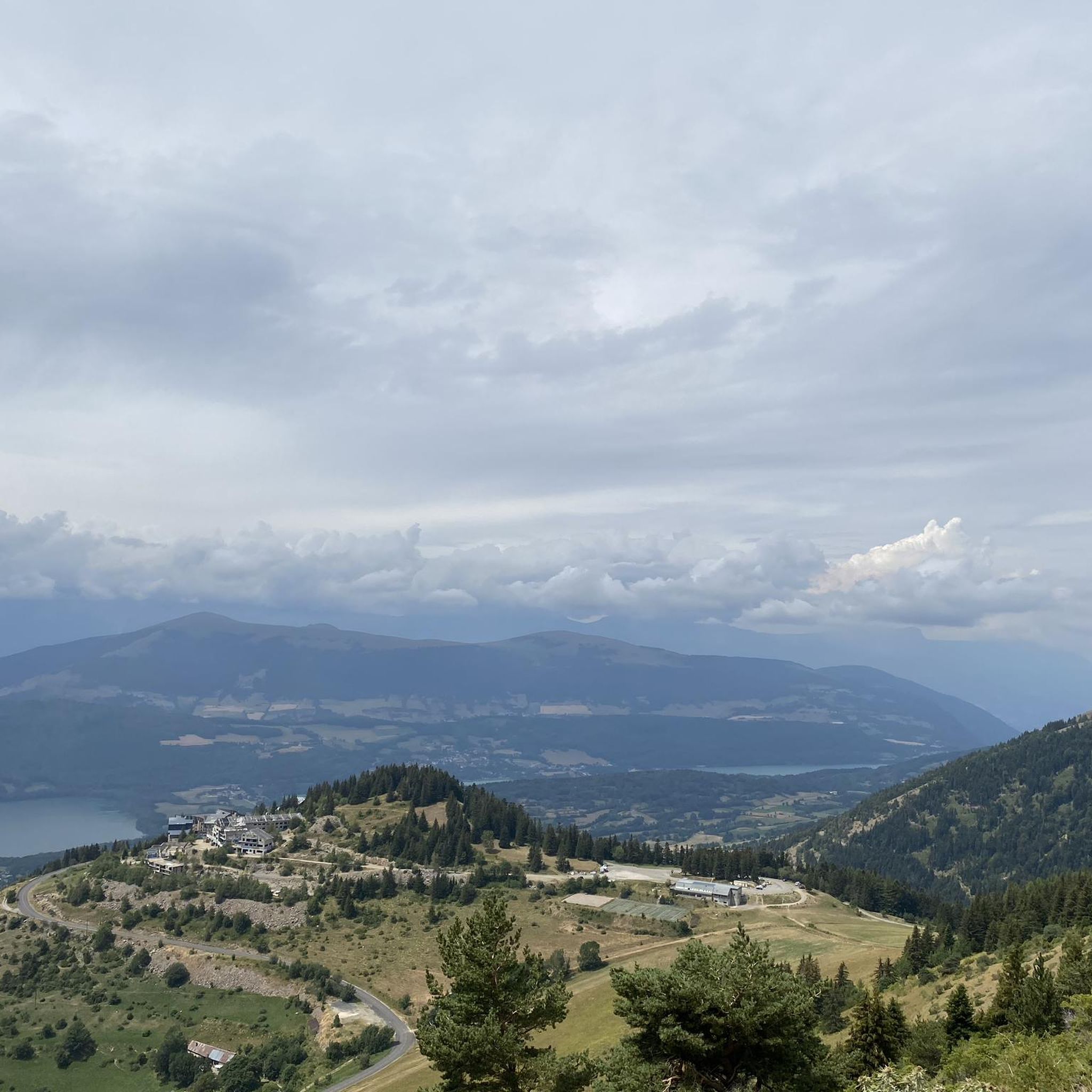

Tips from the Community


A vast, grassy ridge top, with spectacular views of neighboring peaks, valleys and lakes. Despite this peak's slightly lower altitude, at 2,214 meters, you'll still get a great mountain feel as you hurtle down the alpine trails and sharp turns.
1
0


Valbonnais is a small village located on the edge of the Massif des Écrins.
0
1
Frequently Asked Questions
How many running routes are available around Oris-en-Rattier?
There are over 130 running routes around Oris-en-Rattier, offering a wide range of options for different fitness levels and preferences. These include 8 easy routes and 44 moderate routes, alongside more challenging trails.
What kind of terrain can I expect on jogging routes in Oris-en-Rattier?
The region around Oris-en-Rattier is characterized by diverse and magnificent natural landscapes. You can expect mountainous terrain with significant elevation changes, lush forests, and serene lake circuits. This varied topography provides opportunities for both challenging uphill runs and more gentle, scenic jogs through valleys and along forested paths.
Are there any family-friendly running trails in Oris-en-Rattier?
While many routes in Oris-en-Rattier feature challenging mountainous terrain, there are 8 easy routes and 44 moderate routes that could be suitable for families, depending on their fitness level. Look for trails around lakes or through forests, which often offer less extreme elevation changes. For instance, the area around Lake Rif-Bruyant offers pleasant circuits with shaded routes that might be suitable for more relaxed jogs.
Can I bring my dog on the running trails in Oris-en-Rattier?
The Isère region, including Oris-en-Rattier, is known for its diverse ecosystems and sensitive natural areas. While many trails are generally dog-friendly, it's always recommended to check specific regulations for each route or protected area, as rules can vary. Always keep your dog on a leash and ensure you clean up after them to preserve the natural environment.
Are there any circular running routes in Oris-en-Rattier?
Yes, many of the running routes in Oris-en-Rattier are designed as loops. For example, the Valbonnais Lake loop from Valbonnais is a popular 5.6-mile (9.1 km) circular trail. Other options include the Valbonnais loop from Valbonnais, which covers 8.0 miles (12.9 km).
What are some scenic viewpoints or landmarks I can see while running?
The region offers breathtaking vistas. You might encounter dramatic backdrops like the Coiro Cirque and Taillefer Peaks. For stunning panoramas, consider routes that lead towards the Plateau du Conest, which offers a magnificent 360-degree view of the Belledonne, Taillefer, Grandes-Rousses, Dévoluy, and Vercors massifs. Other notable points of interest include Ornon Pass and La Pierre Percée.
What is the best time of year for running in Oris-en-Rattier?
The best time for running in Oris-en-Rattier largely depends on your preference for weather and terrain. Spring and autumn offer pleasant temperatures and vibrant natural colors, ideal for exploring the forests and valleys. Summer provides longer daylight hours but can be warmer, especially at lower elevations. Winter running is possible, but higher mountain trails may be challenging due to snow and ice, requiring appropriate gear and caution.
Are there any long-distance running trails for experienced runners?
Yes, Oris-en-Rattier offers several challenging long-distance routes. The Valbonnais – Parquetout Pass loop from Valbonnais is a difficult 15.1-mile (24.3 km) trail with significant elevation gain, perfect for experienced runners seeking a substantial challenge. Another option is the Valbonnais – View of Vallée du Vénéon loop from Valbonnais, an 8.3-mile (13.3 km) difficult route.
What do other runners enjoy most about jogging in Oris-en-Rattier?
The running routes in Oris-en-Rattier are highly rated by the komoot community, with an average score of 4.4 stars from over 25 reviews. Runners often praise the diverse landscapes, from challenging mountain ascents to serene lake loops and peaceful forest paths. The variety of terrain and the breathtaking natural beauty of the Isère region are frequently highlighted as key attractions.
Are there any running routes that pass by lakes?
Absolutely! The region is home to several beautiful lakes that offer scenic running opportunities. The Valbonnais Lake loop from Valbonnais is a popular choice. You can also find routes near Lake Laffrey, Lake Brouffier, and Lake Prévourey, which are part of the wider network of trails.
Where can I find parking for the running trails?
While specific parking details for every trailhead are not always listed, many popular starting points for routes, especially those around villages like Valbonnais or near major attractions, typically offer designated parking areas. It's advisable to check local signage or use navigation apps for specific parking locations when planning your run.
Are there any particularly challenging running routes for advanced athletes?
For advanced athletes seeking a significant challenge, the region offers routes with considerable elevation gain. The Piquet de Nantes loop from Nantes-en-Rattier is a difficult 5.8-mile (9.37 km) route that includes over 1000 meters of ascent, providing a high-mountain feel and demanding physical exertion. The Coiro Cirque and Taillefer Peaks also offer dramatic backdrops and challenging ascents for experienced trail runners.
Most popular routes around Oris-En-Rattier
Most popular attractions around Oris-En-Rattier

Get inspired with the komoot mobile app


Explore more
Browse the best Running Trails & Routes in other regions.
