The best walks and hikes around Oris-En-Rattier
4.5
(589)
4,597
hikers
176
hikes
Hiking trails around Oris-En-Rattier traverse a diverse landscape situated between the Northern and Southern Alps in the Isère region of France. The terrain features significant elevation changes, from lower valleys to mountain summits, offering varied experiences. Hikers encounter mountainous scenery with panoramic views of peaks like Taillefer and the Écrins massif, alongside lakes such as Lac de Rif Bruyant, streams, and waterfalls. The region also includes diverse forests of beech, fir, and larch, as well as rural valleys and mountain…
Last updated: July 1, 2026
4.7
(6)
40
hikers
13.6km
06:24
980m
970m
Hard hike. Very good fitness required. Mostly accessible paths. Sure-footedness required.
4.9
(8)
103
hikers
14.1km
06:40
1,020m
1,020m
Hard hike. Very good fitness required. Sure-footedness, sturdy shoes and alpine experience required.

Sign up for free
4.5
(2)
19
hikers
14.9km
04:16
250m
240m
Moderate hike. Good fitness required. Mostly accessible paths. Sure-footedness required.
28
hikers
11.7km
05:48
920m
920m
Hard hike. Very good fitness required. Mostly accessible paths. Sure-footedness required.
5.0
(1)
20
hikers
11.0km
05:02
830m
830m
Hard hike. Very good fitness required. Mostly accessible paths. Sure-footedness required.
Get access to more routes and recommendations from other explorers.
Sign up for free
Already have an account?
Our route recommendations are based on thousands of hikes, rides, and runs completed by other people on komoot.
Start today with a free account
Your next adventure awaits.
Login or Signup
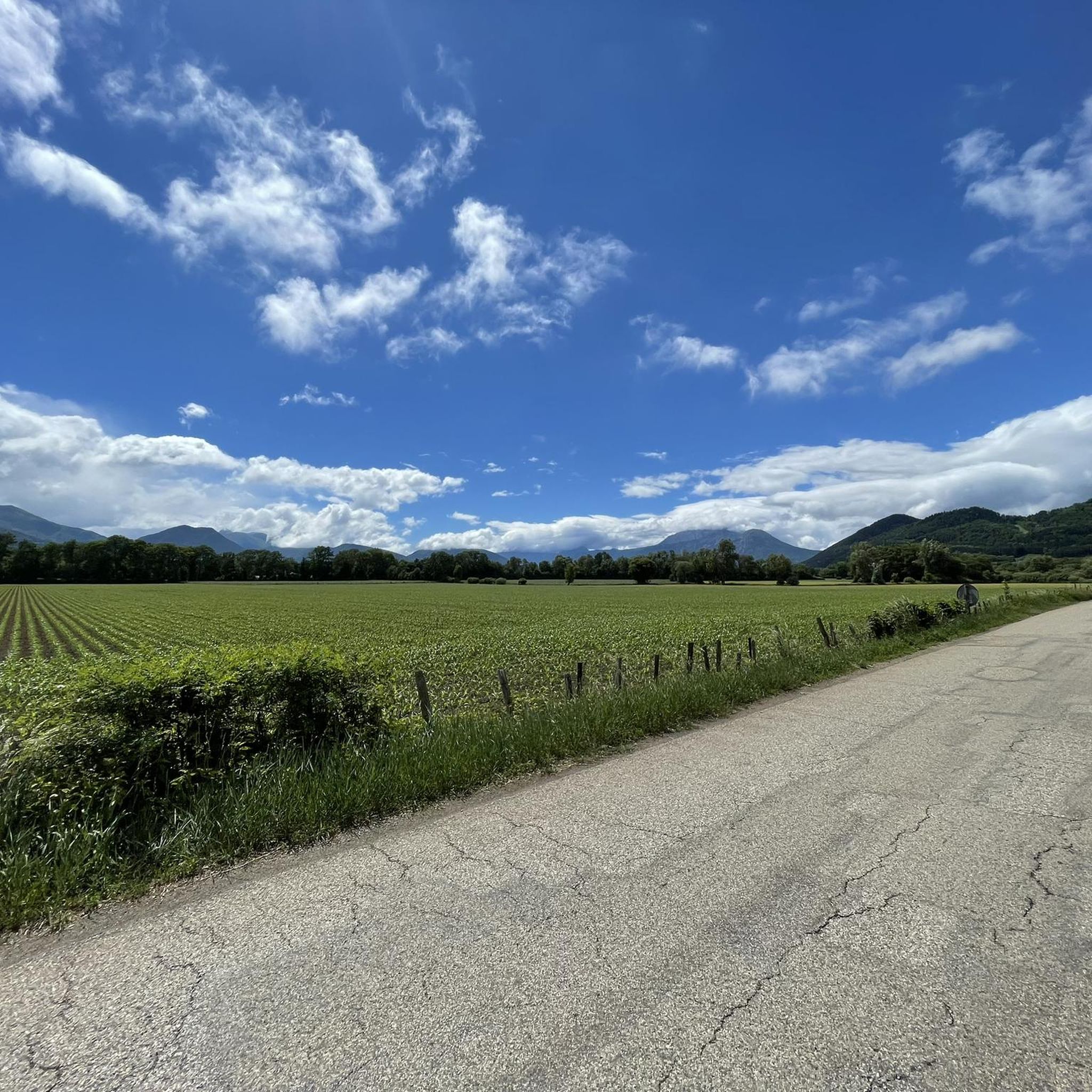
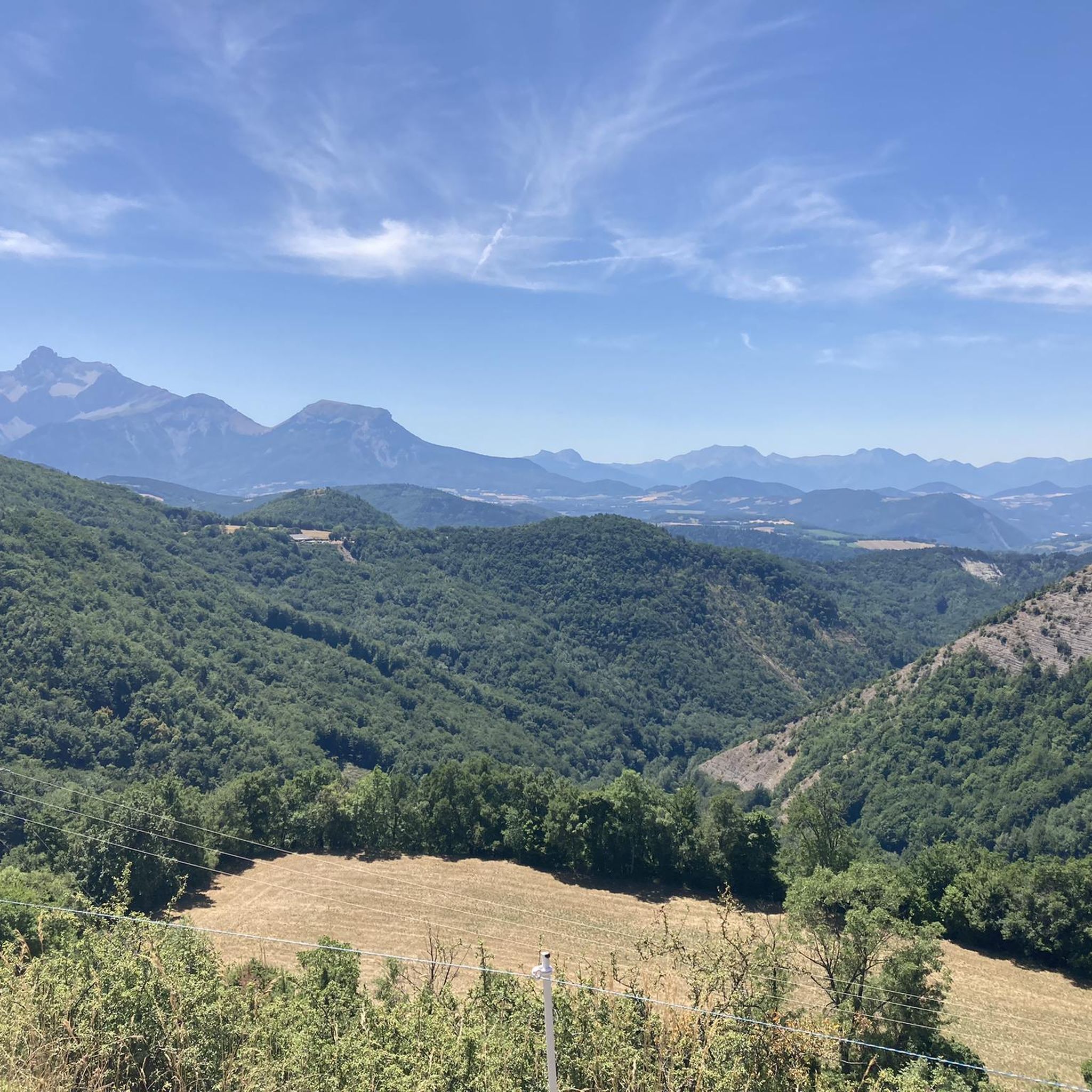
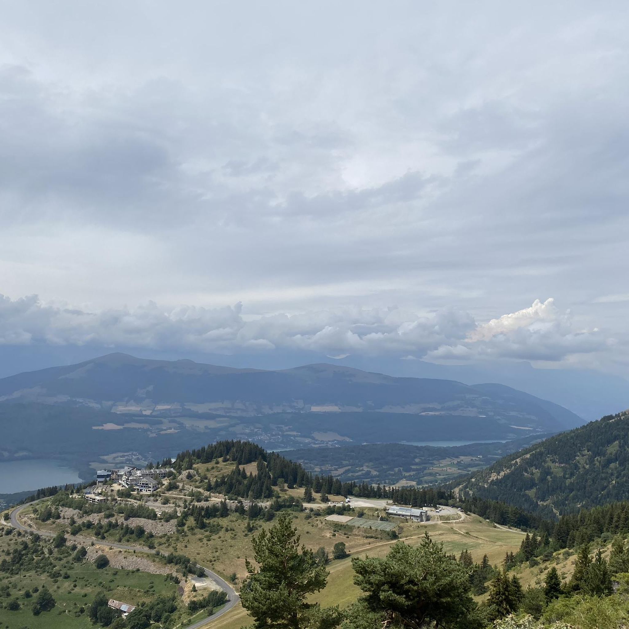
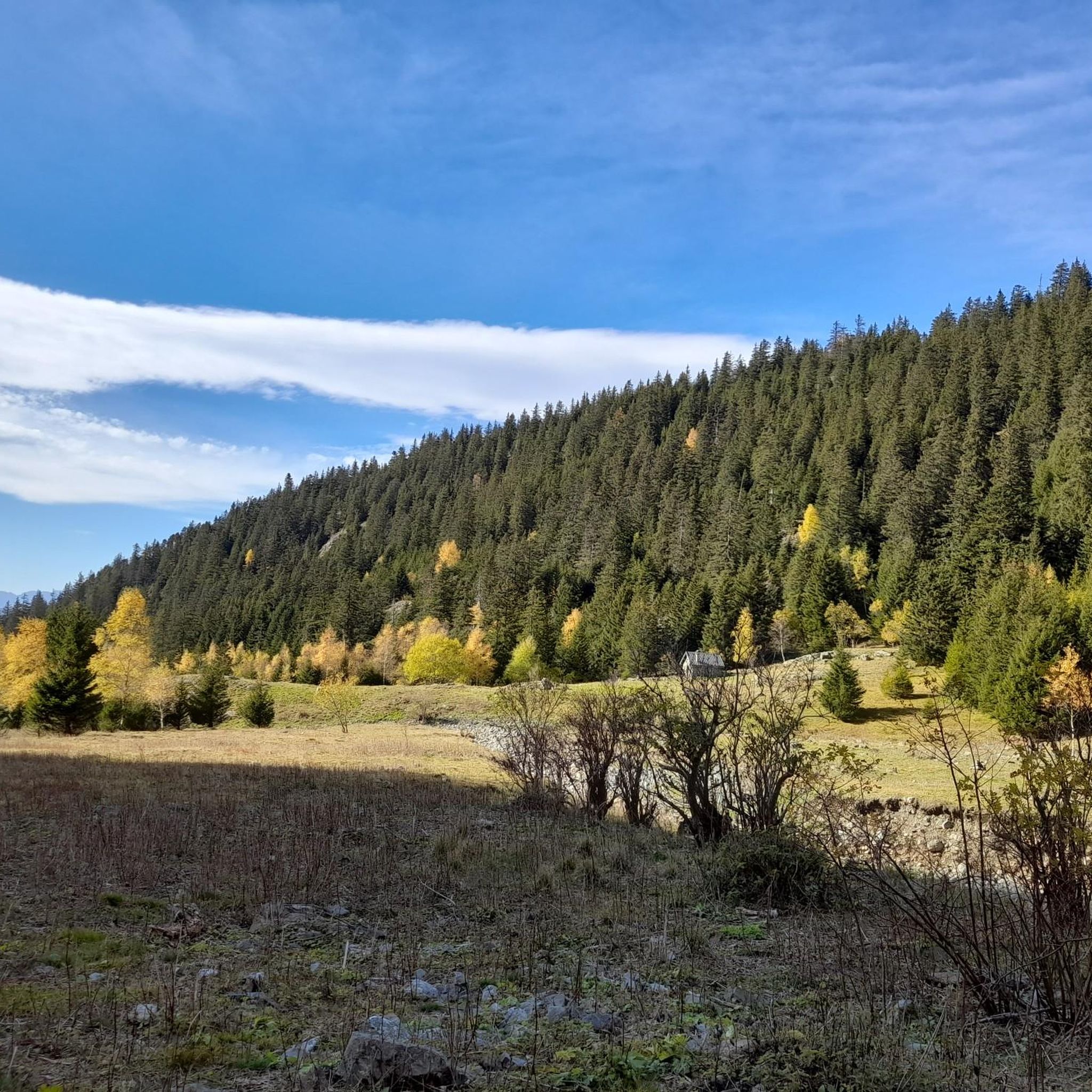

Tips from the Community

It is a pass at the foot of the Piquet de Nantes which offers a very beautiful viewpoint.
0
0
very beautiful ONF cabin open to the public
0
0
Le Rocher Noir is a small summit below the Piquet de Nantes
0
0
superb viewpoint over the Devoluy and the Tête de l'Obiou
0
0

You can follow the old canal from the Middle Ages along a narrow path that is almost flat.
0
0

Beautiful high altitude lake.
0
0
Frequently Asked Questions
How many hiking trails are there in Oris-En-Rattier?
Oris-En-Rattier offers a wide selection of hiking trails, with over 160 routes available for exploration. These trails cater to various fitness levels, from easy walks to challenging alpine ascents.
What kind of terrain and landscapes can I expect while hiking in Oris-En-Rattier?
The region boasts a diverse landscape, transitioning between the Northern and Southern Alps. You'll encounter significant elevation changes, from lower valleys to mountain summits. Expect breathtaking mountainous scenery, high-altitude lakes like Lac de Rif Bruyant, winding streams, and diverse forests of beech, fir, and larch. Rural valleys and charming mountain villages also dot the landscape.
Are there any easy or family-friendly hiking options in Oris-En-Rattier?
Yes, Oris-En-Rattier offers a range of trails suitable for families and those seeking easier walks. There are 26 easy routes available, often found along shaded paths or through rural valleys. These provide a gentle way to experience the region's natural beauty without significant elevation gains.
Can I bring my dog on the hiking trails in Oris-En-Rattier?
Many trails in Oris-En-Rattier are suitable for hiking with dogs. However, it's always recommended to keep your dog on a leash, especially in areas with wildlife or near grazing livestock. Be mindful of local regulations and ensure your dog is well-behaved and physically capable of the chosen route.
Are there any circular hiking routes available?
Yes, many of the hiking routes in Oris-En-Rattier are designed as loops, allowing you to start and finish at the same point. For example, the La Bonne – Valbonnais loop from Valbonnais is a moderate 9.3-mile (14.9 km) path offering views of the Valbonnais area.
What are the best viewpoints or panoramic spots in the area?
Oris-En-Rattier is renowned for its panoramic views. Hikers can enjoy superb vistas of the Coiro cirque, the peaks of Taillefer, and the Tabor mountain. From the Sommet de la Cavale, you can get an impressive 360° panorama encompassing the Valbonnais, Dévoluy, Matheysine, and Vercors massifs, as well as the high peaks of the Écrins. The Conest plateau also offers a 360° view of several massifs.
Are there any waterfalls or significant water features to see on the trails?
Yes, the region features several beautiful lakes and waterways. The Lac de Rif Bruyant is a notable high-altitude lake, and trails often follow the Rif Bruyant stream. You can also discover various waterfalls and ancient irrigation systems, such as the 150-year-old Beaumont Canal, adding to the area's charm.
What are some notable landmarks or attractions near the hiking routes?
Beyond the natural beauty, you can explore several interesting landmarks. The Ornon Pass and Parquetout Pass offer scenic drives and starting points for hikes. The La Pierre Percée is a unique natural monument worth visiting. Many trails also pass through charming mountain villages with traditional architecture.
What is the best time of year to go hiking in Oris-En-Rattier?
The best time to hike in Oris-En-Rattier generally depends on the altitude and desired experience. Spring and autumn offer pleasant temperatures and vibrant colors, while summer is ideal for higher-altitude trails. Some difficult routes may require alpine experience and sturdy shoes, especially outside of peak summer months, due to potential snow or challenging conditions.
What do other hikers enjoy most about hiking in Oris-En-Rattier?
The area is highly rated by the komoot community, with an average score of 4.5 stars from over 570 reviews. Hikers frequently praise the diverse terrain, stunning mountainous vistas, and the variety of routes available for different skill levels. The presence of high-altitude lakes and diverse forest paths are also often highlighted as favorite aspects.
Are there any challenging or long-distance hikes in the region?
Yes, for experienced hikers, Oris-En-Rattier offers challenging alpine trails. Options range from difficult day hikes with significant elevation gains, such as the Lake Rif-Bruyant – Le Rivobruenti Refuge loop from Le Mollard (over 3,300 feet of elevation gain), to multi-day adventures like the Tour du Taillefer. These routes require excellent physical condition and appropriate gear.
Is there public transport or parking available for trailheads?
While specific public transport options to all trailheads may be limited, many routes are accessible by car, and parking is generally available near popular starting points in villages like Le Mollard or Valbonnais. It's advisable to check specific trailhead access when planning your hike.
Most popular routes around Oris-En-Rattier
Most popular attractions around Oris-En-Rattier

Get inspired with the komoot mobile app


Explore more
Browse the best Hikes in other regions.
