The 6 Most Amazing Peaks around Saint-André-De-Buèges
Best mountain peaks around Saint-André-De-Buèges are found within the Massif de la Séranne, a prominent mountain range in the Hérault department of southern France. This region is characterized by its dramatic mountainous landscape and the intimate Buèges Valley. Visitors can explore diverse ecosystems, from arid limestone garrigue to riverbanks, offering varied hiking terrain and natural features. The area provides opportunities to discover authentic landscapes and historical sites.
Best mountain peaks around Saint-André-De-Buèges
- The most popular mountain peaks is Peyre Martine…
Last updated: May 17, 2026
Peyre Martine Summit
Highlight • Summit
Translated by Google •
Tip by

Cirque of Navacelles
Highlight • Summit
Translated by Google •
Tip by

Sign up now to discover places like this
Get recommendations on the best single tracks, peaks, & plenty of other exciting outdoor places.
Sign up for free
Anjeau Peak
Highlight • Summit
Translated by Google •
Tip by
Montagne de la Seranne
Highlight • Summit
Translated by Google •
Tip by
View of Pic Saint-Loup and L'Hortus
Highlight • Viewpoint
Translated by Google •
Tip by

Start today with a free account
Your next adventure awaits.
Login or Signup

Tips from the Community

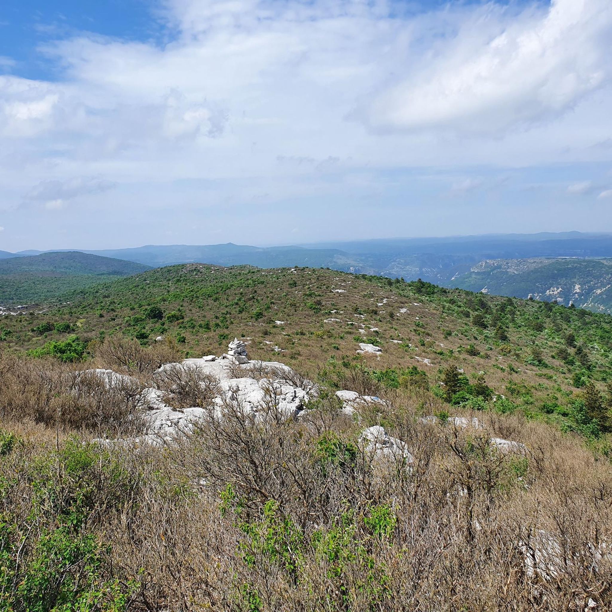
A really nice spot. Not as high as the ROC BLANC, but almost prettier, with a much more pleasant hike. The path to get there is nice, although steep, with a good difference in altitude! The descent is moderately gentle, but few surprises. In short, a pleasant summit, where it is good to spend time! BE CAREFUL, once at the top, to get to the "cornice", an 8/10m hole is almost at the edge of the path. Watch your feet.
2
0
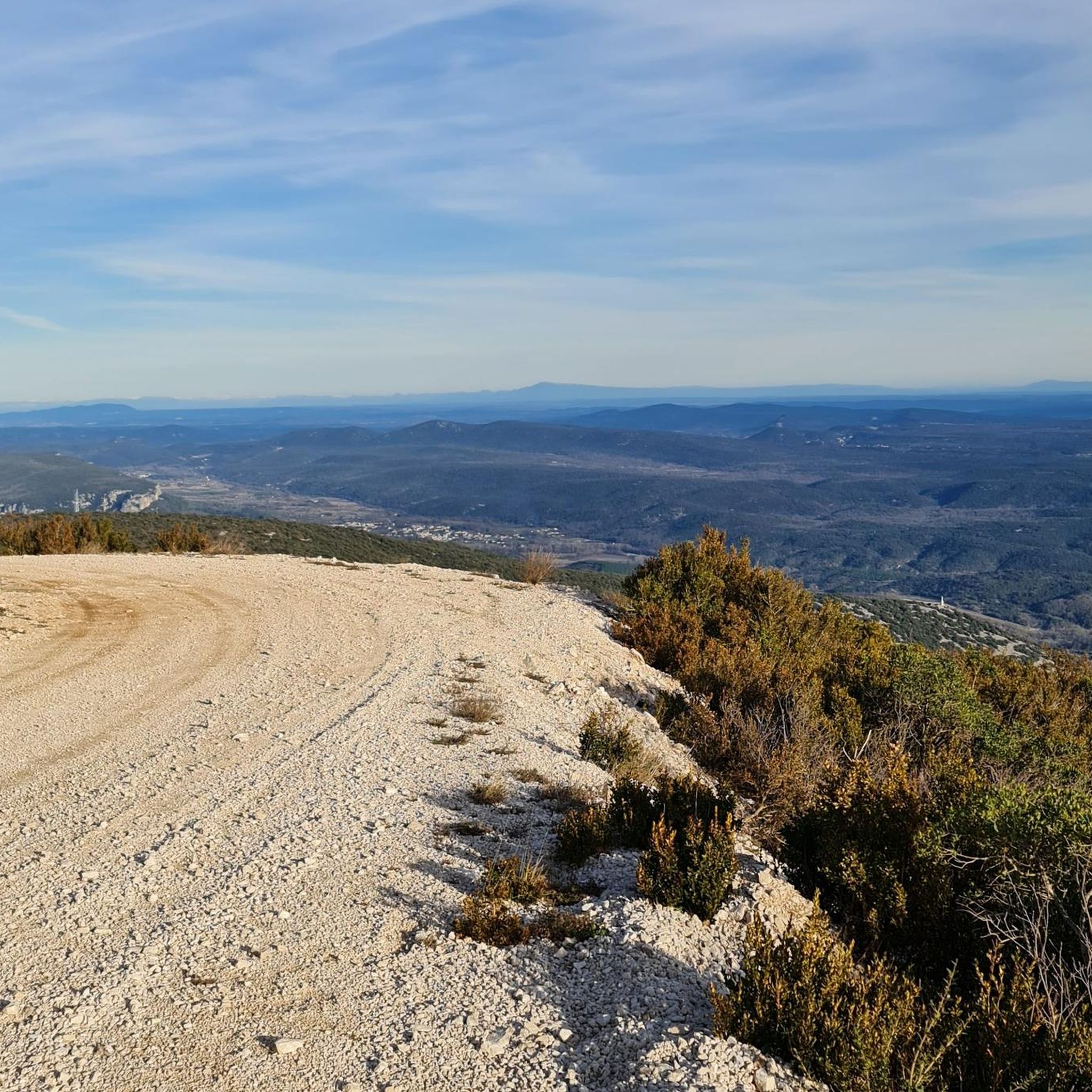
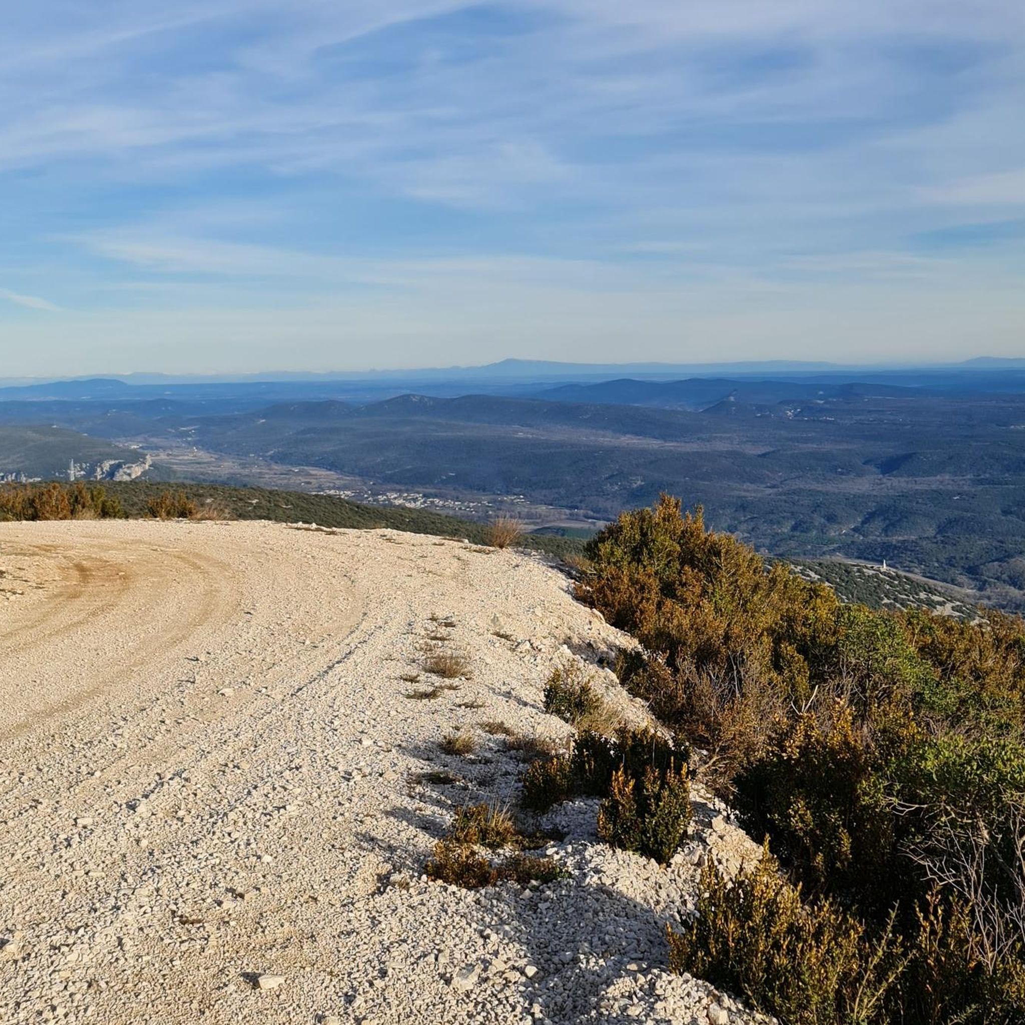
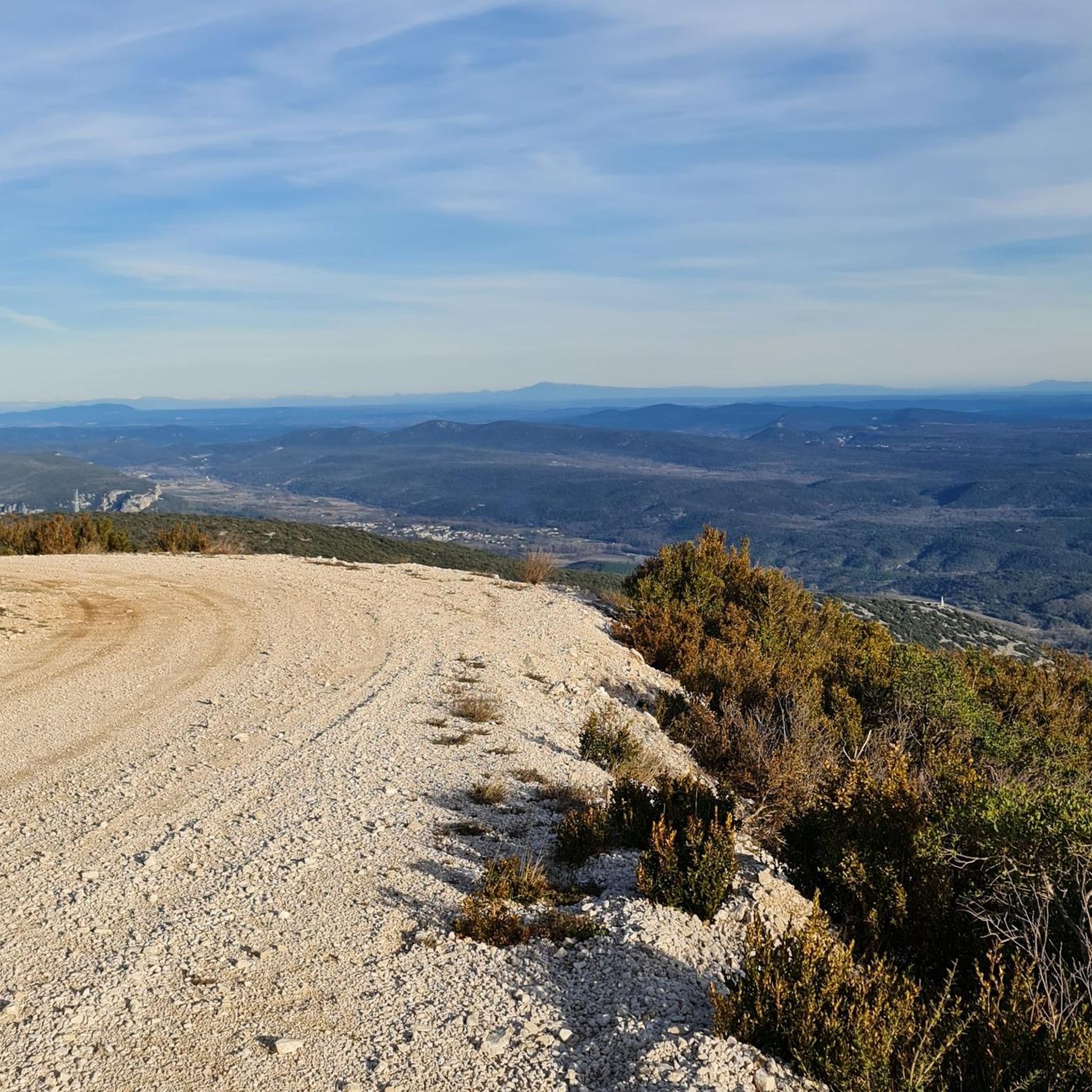
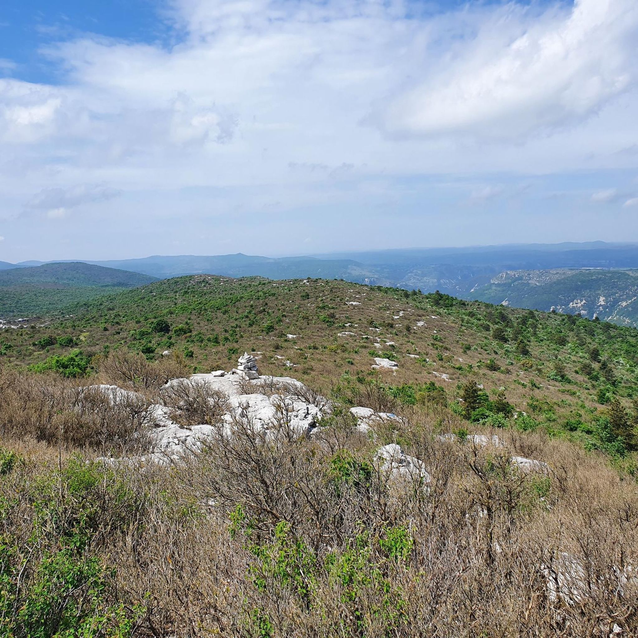
At this point, you can easily see, in the distance, the Pic Saint Loup (658m) & the Hortus (512m). You are, despite appearances, above, at about 760m altitude.
0
0

As you cycle through the beautiful Cévennes National Park, you’ll discover the impressive Cirque de Navacelles. This natural amphitheatre, carved out by the winding River Vis, is a breathtaking sight. As you cycle along the rim of the cirque, you’ll be rewarded with panoramic views of the deep canyon, lush forests and the charming village of Navacelles nestled below.
0
0

Superb walk with a magnificent view at the summit, however it is VERY rocky, so wear good shoes (not like me).
2
0
Be careful, the ascent is technical and requires some fighting!
0
1

Peyre Martine, with its 781 m altitude, is not the highest peak of the Séranne massif but it offers a magnificent panorama.
2
0
Located south of Larzac and therefore of the Massif Central, the Séranne mountain is a small massif whose main peaks are, among others, Mont Saint-Baudille, the Pioch de Roquebrune, the Pioch de la Boffia, Peyre Martine and the Roc Blanc.
2
0
Culminating at an altitude of 864m, the Pic d'Anjeau offers a magnificent view of the Vis valley.
1
0
Frequently Asked Questions
What are some notable mountain peaks and natural features to explore in Saint-André-De-Buèges?
The region is dominated by the Massif de la Séranne, featuring prominent peaks like Montagne de la Séranne and Roc Blanc. Beyond the peaks, you can explore the dramatic natural amphitheater of the Cirque of Navacelles, carved by the River Vis, or the scenic Gorges de la Buèges with its clear waters.
What kind of hiking terrain can I expect around Saint-André-De-Buèges?
The terrain is varied, ranging from arid, limestone mountain ranges with rugged features like lapiaz (limestone pavements) and scree zones, to more gentle paths along riverbanks. Trails can involve significant elevation gain, offering moderate to challenging experiences. For example, the ascent to Peyre Martine Summit involves a steep path with a good difference in altitude and rocky terrain.
Are there any challenging mountain climbs in the region?
Yes, some peaks offer challenging ascents. For instance, the climb to Anjeau Peak, culminating at 864 meters, is described as technical and requires some effort. Similarly, the Peyre Martine Trail and the Roc Blanc and Montagne de la Séranne Trail are rated as difficult for running, indicating their challenging nature.
What are some family-friendly outdoor activities or trails near the mountain peaks?
While many trails offer moderate challenges, the region's diverse landscapes provide opportunities for various fitness levels. The Gorges de la Buèges offers a moderate 8.4 km loop trail along the river, which can be suitable for families looking for a less strenuous walk. The clear waters of the Buèges river also offer opportunities for swimming, which can be a fun family activity.
Can I bring my dog on the trails around Saint-André-De-Buèges?
The region generally offers natural landscapes suitable for dog walking. However, specific trail regulations for dogs can vary. It's always advisable to keep your dog on a leash, especially in areas with wildlife or livestock, and to check for any local signage regarding pet access on specific trails or protected areas.
When is the best time to visit the mountains around Saint-André-De-Buèges for hiking?
The region's Mediterranean climate makes spring and autumn ideal for hiking, offering pleasant temperatures and vibrant natural colors. Summer can be hot, especially in the arid limestone areas, so early mornings or late afternoons are recommended if visiting during this season. Winter offers cooler temperatures but some trails might be more challenging due to weather conditions.
Are there opportunities for wild swimming near the mountain peaks?
Yes, the Buèges river, particularly within the Gorges de la Buèges, is known for its translucent, cool, blue-colored water, offering an oasis for nature and peace. Some sections along the river provide excellent spots for wild swimming.
What other outdoor activities can I do near the mountain peaks besides hiking?
Beyond hiking, the region is popular for road cycling and running. You can find numerous routes for these activities, such as the Road Cycling Routes around Saint-André-De-Buèges or the Running Trails around Saint-André-De-Buèges. Roc Blanc is also a noted launch point for free-flying enthusiasts, offering paragliding and hang gliding experiences.
What kind of views can I expect from the mountain peaks in the Massif de la Séranne?
The peaks within the Massif de la Séranne, such as Montagne de la Séranne and Roc Blanc, offer expansive panoramic views of the surrounding Occitanie region. From spots like Peyre Martine Summit, you can enjoy magnificent vistas. The Cirque of Navacelles provides breathtaking views of a deep canyon, lush forests, and the village of Navacelles nestled below.
Are there any specific permits required for hiking in the Buèges Valley?
Generally, no specific permits are required for hiking on established trails in the Buèges Valley. However, it's always good practice to respect private property, follow local regulations, and be aware of any temporary restrictions, especially during hunting seasons or periods of high fire risk. Always stay on marked paths.
Where can I find parking for hiking trails in the Saint-André-De-Buèges mountains?
While specific parking areas are not detailed in the guide, trailheads for popular routes often have designated parking. It is advisable to check local maps or specific route descriptions for parking information before starting your hike. In smaller villages like Saint-André-De-Buèges, public parking might be available near the village center or close to popular trail starting points.
What are some popular circular walks around the Saint-André-De-Buèges mountains?
The Gorges de la Buèges Trail is a moderate 8.4 km loop. Another option is the Peyre Martine – loop from Saint-Jean-de-Buèges, which is a more difficult 16.2 km route. These offer varied experiences, from riverside strolls to more challenging mountain ascents.
Most popular routes around Saint-André-De-Buèges
Most popular attractions around Saint-André-De-Buèges

Get inspired with the komoot mobile app


Explore more
See even more amazing summits around Saint-André-De-Buèges with these guides:
