The best walks and hikes around Saint-André-De-Buèges
4.4
(1273)
8,647
hikers
179
hikes
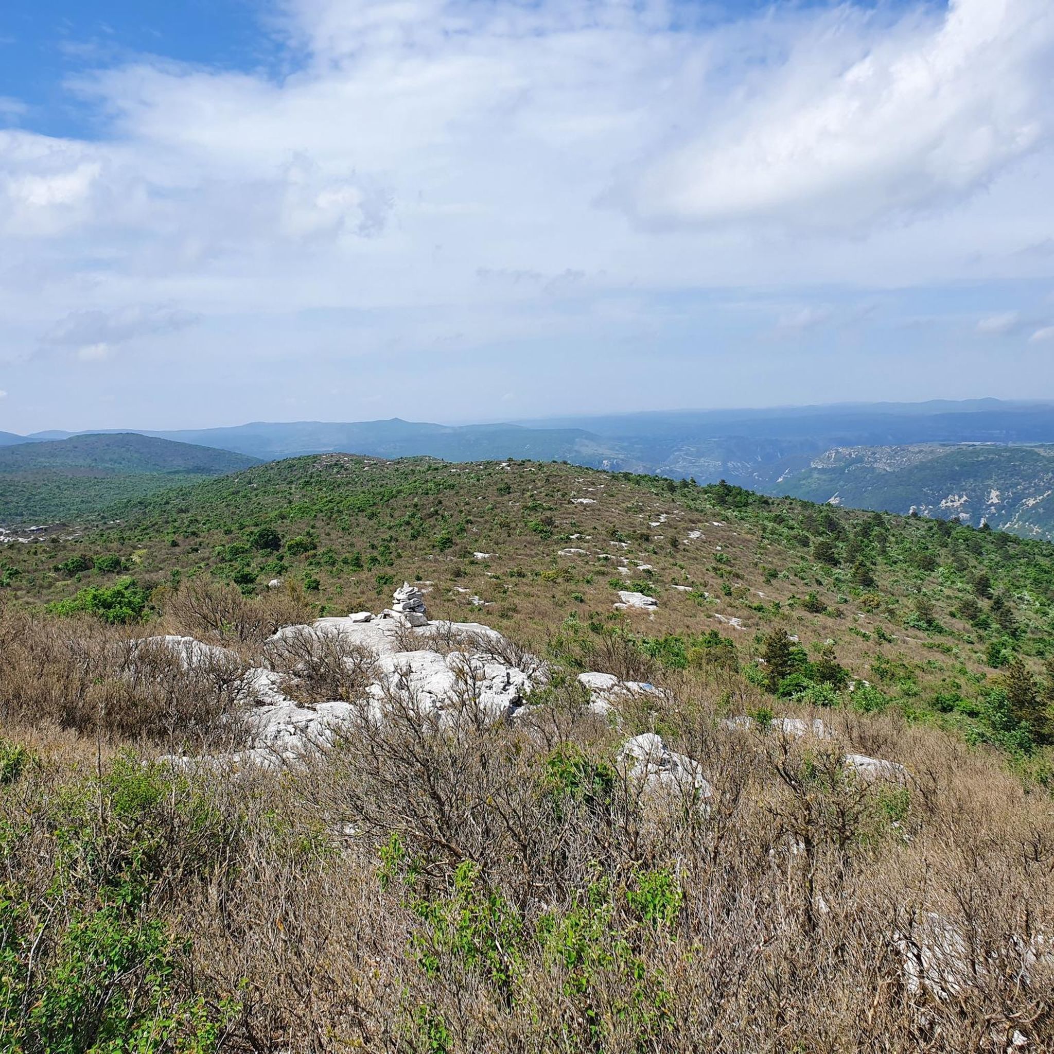
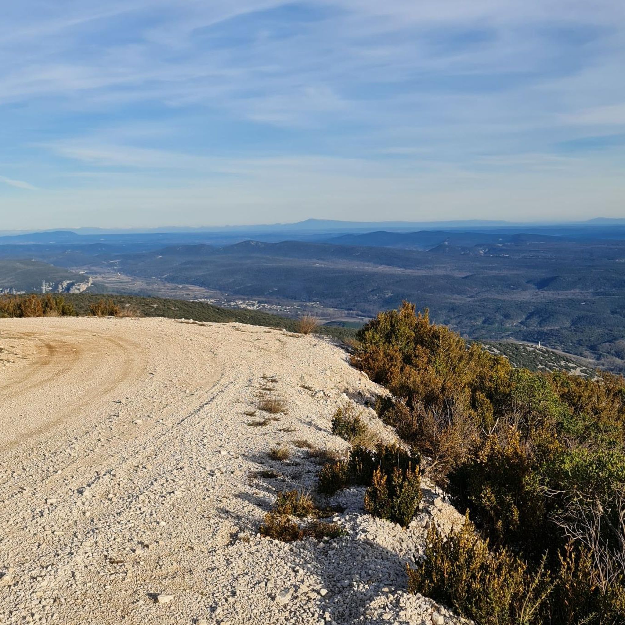
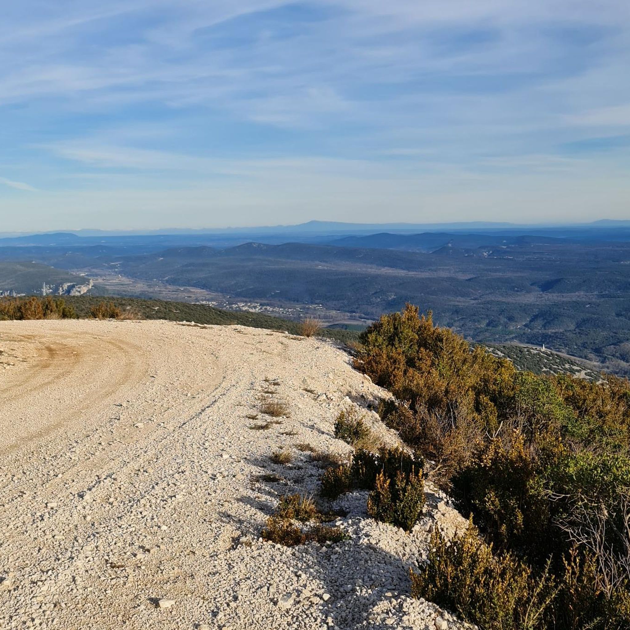
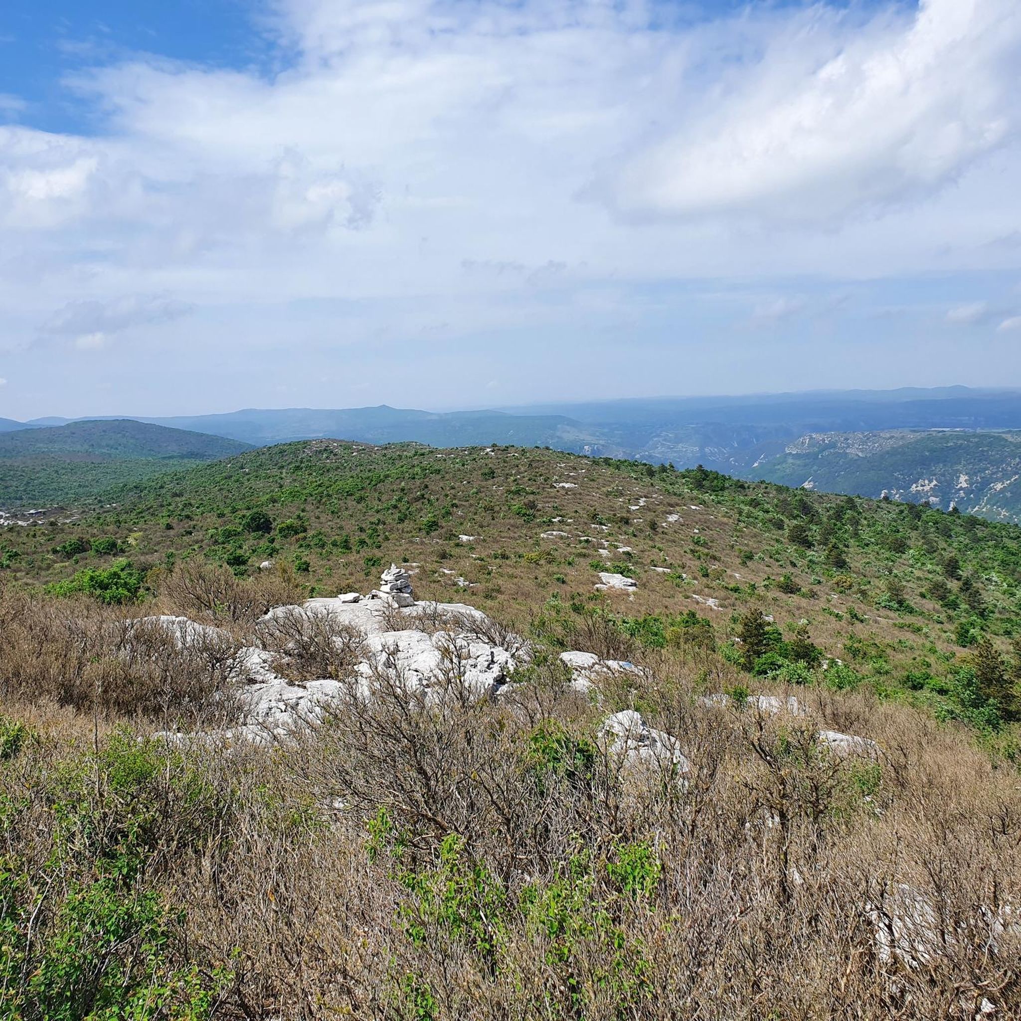
Hiking around Saint-André-De-Buèges offers diverse terrain within the Buèges Valley, characterized by its unspoiled rural landscape. The region features scrubland (garrigue), dense forests, and meadows, with the Buèges river carving winding paths. Hikers can explore the arid limestone Massif de la Séranne, including the Roc Blanc, which provides panoramic views. The area also integrates historical elements like ancient mills and irrigation channels along its trails.
Best hiking trails around Saint-André-De-Buèges
- The most popular hiking route is Gorges de la Buèges…
Last updated: October 26, 2026
4.5
(57)
292
hikers
8.40km
02:13
80m
80m
Moderate hike. Good fitness required. Easily walkable paths.
4.8
(13)
83
hikers
16.2km
05:33
840m
840m
Hard hike. Very good fitness required. Easily walkable paths.

4.6
(5)
51
hikers
12.2km
04:05
610m
610m
Moderate hike. Good fitness required. Easily walkable paths.
4.1
(13)
57
hikers
Hard hike. Very good fitness required. Sure-footedness, sturdy shoes and alpine experience required.
4.7
(27)
157
hikers
12.8km
04:43
660m
660m
Hard hike. Good fitness required. Sure-footedness, sturdy shoes and alpine experience required.
Get access to more routes and recommendations from other explorers.
Already have an account?
Our route recommendations are based on thousands of hikes, rides, and runs completed by other people on komoot.
Start today with a free account
Your next adventure awaits.

Tips from the Community

The markers are difficult to find after crossing the river (for the difficult circuit) The signage is not kept up to date. At the river crossing, there are 2 possibilities: - going upstream to the right, a small, well-marked loop. - going upstream to the left, a large, unmarked loop with a technical passage. The ladder that had been there for many years has disappeared, what a shame!!!! (If the person I met and walked with for a good part of this hike recognizes themselves from August 7th, don't hesitate to get in touch)🫡
0
0
The markers are difficult to find after crossing the river. (For the difficult trail) The marking is not kept up to date. At the river crossing, 2 possibilities: Going up to the right, a small well-marked loop. Going up to the left, a large unmarked loop with a technical passage. There was a ladder for several years at one point on the route to observe a large enormous cave..... Ladder disappeared, what a shame !!!!
0
0

A great village, with winding alleyways where it's pleasant to get lost.
0
0
A magical place, ideal for taking a break by the water.
0
0

Due to a lack of funding, this departmental road was never built and ends in a dead end, continuing as a hiking trail that leads us towards the Ravin des Arcs.
0
0

WARNING: This is not the Grotte des Demoiselles (Cave of the Maidens)! I requested that its REAL name be changed to "Grotte - Abri de Lamalou 2" (Lamalou Cave - Shelter 2). Some nice points of interest along the way! The path is sometimes challenging, so caution is advised. I also encountered a few people rock climbing. The ladder in the old "Hermite" cave is stable, but be careful nonetheless. Once at the top, it's easy to slip (it's on a slope). The visit is short, but there are a few tricky sections to explore a little further. Naturally, this makes it all the more dangerous! Not recommended for people with vertigo or who are not comfortable with heights.
0
0
A few nice points of interest along the way! The path is sometimes challenging, so caution is advised. I also came across a few people rock climbing. The ladder in the old "Hermite" cave is stable, but be careful nonetheless. Once at the top, it's easy to slip (it's on a slope).
0
0
Frequently Asked Questions
How many hiking trails are available in Saint-André-De-Buèges?
Saint-André-De-Buèges offers a wide variety of hiking experiences, with nearly 170 routes documented on komoot. These range from easy strolls along the river to challenging climbs up the Massif de la Séranne.
What kind of terrain can I expect on hikes in Saint-André-De-Buèges?
The region features diverse terrain, including scrubland (garrigue), dense forests, and verdant meadows, all shaped by the winding Buèges river. You'll find arid limestone landscapes, particularly around the Massif de la Séranne, and shaded paths along the Gorges de la Buèges. The area also has sharp limestone pavements and distinct rock formations.
Are there any easy hiking trails suitable for beginners or leisurely walks?
Yes, Saint-André-De-Buèges has over 35 easy routes. The Buèges Valley offers numerous paths ideal for leisurely strolls along the riverbanks, perfect for those seeking a gentle walk or a picnic spot. These trails often feature translucent waters and a peaceful atmosphere.
Are there any challenging hikes for experienced hikers?
Absolutely. For those seeking a more strenuous experience, there are over 25 difficult trails. A notable option is the Peyre Martine – loop from Saint-Jean-de-Buèges, which is a 16.2 km path with significant elevation gain and varied terrain, offering a rewarding challenge.
What are the best times of year to go hiking in Saint-André-De-Buèges?
Hiking in Saint-André-De-Buèges is enjoyable across multiple seasons. The shaded paths along the Gorges de la Buèges make it pleasant even during warmer months, with opportunities to cool off in the river. Spring and autumn offer comfortable temperatures and vibrant scenery, while the diverse landscape provides beauty year-round.
What historical elements can be seen along the hiking trails?
The trails in Saint-André-De-Buèges often integrate historical elements that highlight centuries of human ingenuity. You can discover ancient mills, dams, irrigation channels, and bridges, many of which are still visible and offer a unique historical dimension to your outdoor experience.
Are there any circular walks available in the area?
Yes, many routes in Saint-André-De-Buèges are designed as loops. For example, the Gorges de la Buèges Trail is a moderate loop that allows you to explore the river gorges and enjoy shaded paths. Another option is the Saint-Jean-de-Buèges – Buèges Spring loop from Saint-Jean-de-Buèges.
What kind of scenic views can I expect on hikes?
Hikers can expect spectacular panoramic views, especially from higher points like the Roc Blanc, which overlooks the entire Buèges Valley. The valley itself is a natural jewel, offering diverse ecosystems with garrigue, vineyards, olive groves, meadows, and woodlands. You'll also encounter impressive limestone formations and the winding Buèges river.
Are there any interesting natural attractions or landmarks to explore?
Beyond the stunning landscapes, you can explore several natural attractions. The Peyre Martine Summit offers great views, and the Cirque of Navacelles is a notable geological feature. The region also has several caves, such as Anjeau Cave and Baumettes du Caylaret and Natural Arch.
What do other hikers enjoy most about hiking in Saint-André-De-Buèges?
The area is highly rated by the komoot community, with an average score of 4.4 stars from over 900 reviews. Hikers often praise the diverse terrain, from river walks to mountain climbs, and the unspoiled rural landscape that blends natural beauty with historical elements.
Where can I find more information about the Buèges Valley?
The Buèges Valley is a significant natural feature of the region. For more detailed information about its unique ecosystem and attractions, you can visit the local tourism website: grandpicsaintloup-tourisme.fr.
Is there information available about the Massif de la Séranne?
Yes, the Massif de la Séranne, including the Roc Blanc, is a prominent feature for hiking in the area. You can find additional details about this arid limestone massif and its characteristics on the regional tourism site: visit-occitanie.com.
Most popular routes around Saint-André-De-Buèges
Most popular attractions around Saint-André-De-Buèges

Get inspired with the komoot mobile app


Explore more
Browse the best Hikes in other regions.
