The best cycling routes around Aspres-Sur-Buëch
4.4
(162)
1,980
riders
15
rides
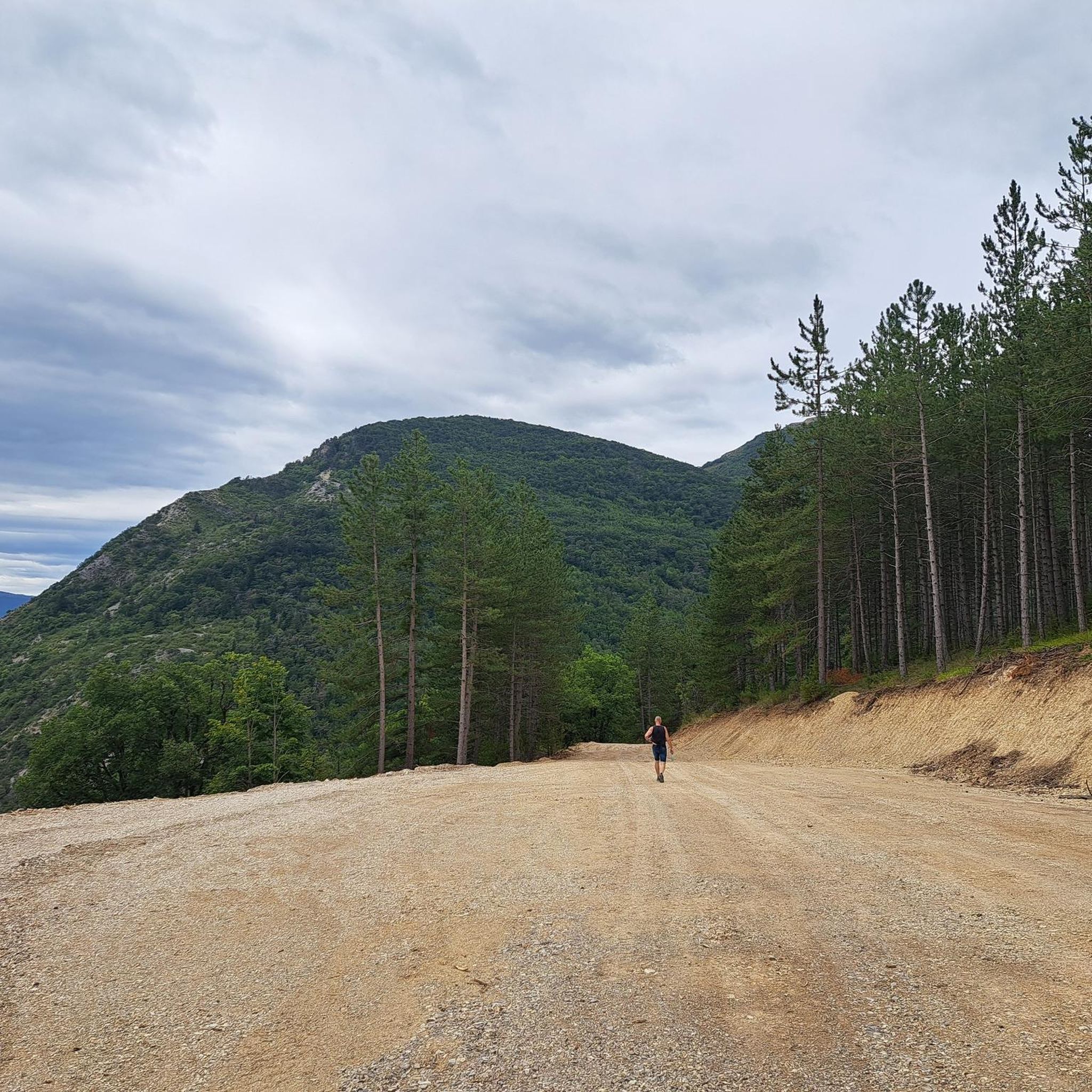
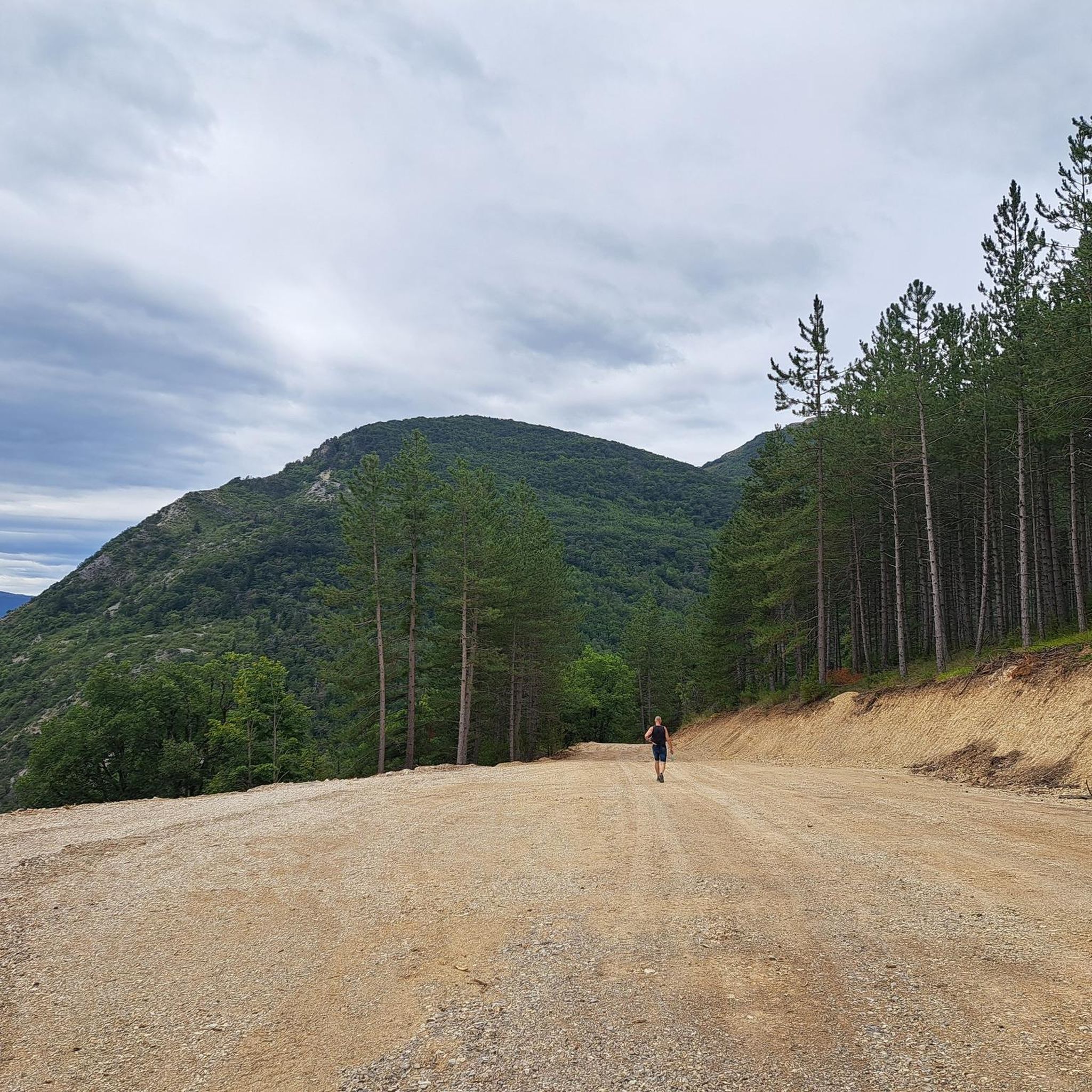
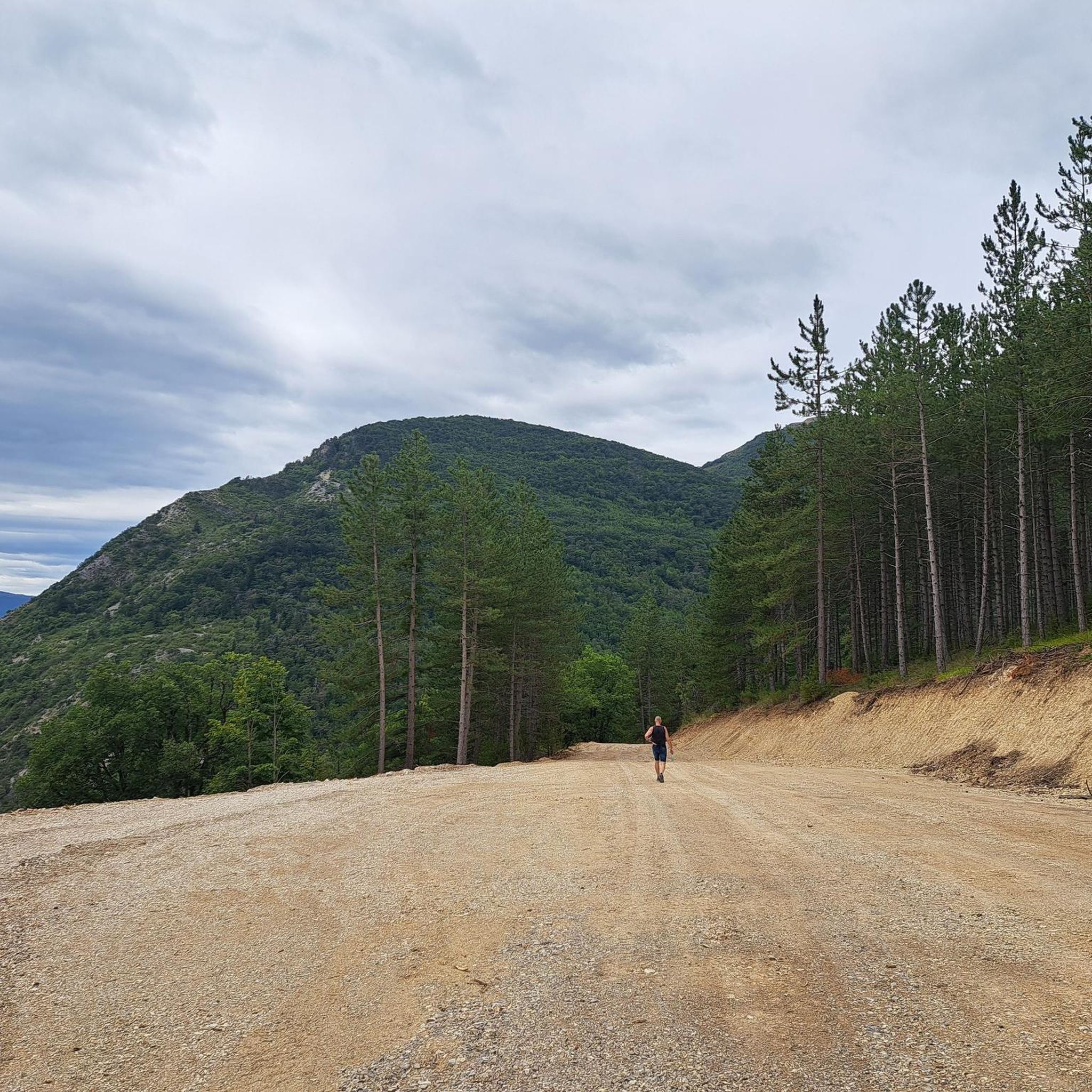
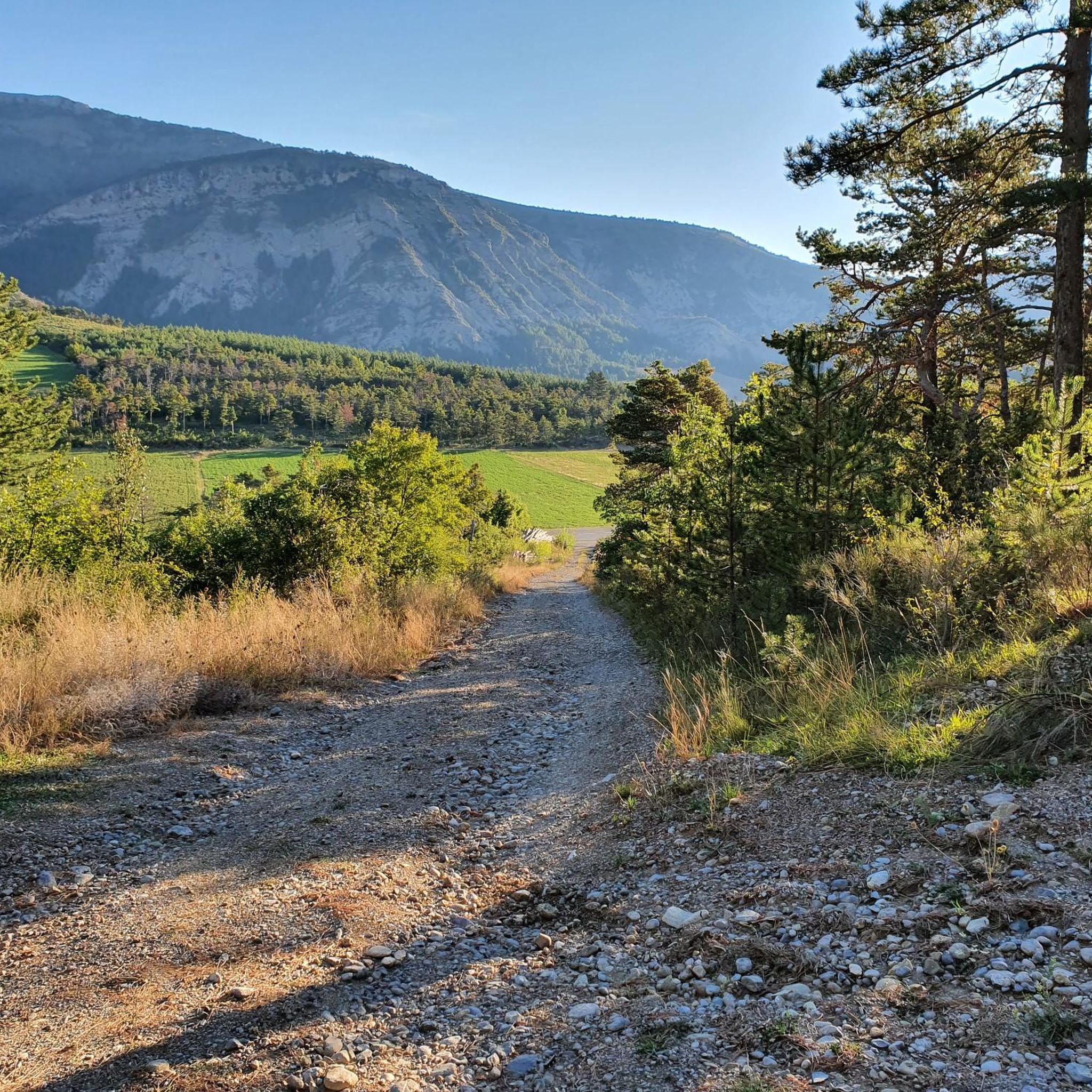
Touring cycling around Aspres-Sur-Buëch offers diverse landscapes within the Hautes-Alpes department, bordering the Parc Régional des Baronnies Provençales. The region features varied terrain, from challenging ascents to undulating routes, including access to high-altitude passes of the Southern French Alps. Geological formations known as "marls" create distinctive scenery, while wild rivers and gorges, such as the Gorges d'Agnielles, provide natural backdrops. The area transitions from mountainous vistas to areas with Mediterranean vegetation and a southern climate.
Best touring cycling routes around…
Last updated: August 25, 2026
4.0
(2)
69
riders
50.4km
03:21
740m
740m
Hard bike ride. Very good fitness required. Mostly paved surfaces. Suitable for all skill levels.
4.4
(9)
38
riders
70.2km
04:23
760m
760m
Hard bike ride. Very good fitness required. Mostly paved surfaces. Suitable for all skill levels.

Sign up for free
5.0
(1)
22
riders
115km
07:50
2,010m
2,010m
Hard bike ride. Very good fitness required. Mostly paved surfaces. Suitable for all skill levels.
5.0
(1)
15
riders
Hard bike ride. Very good fitness required. Mostly paved surfaces. Suitable for all skill levels.
5.0
(2)
8
riders
41.9km
02:44
540m
540m
Hard bike ride. Very good fitness required. Mostly paved surfaces. Suitable for all skill levels.
Get access to more routes and recommendations from other explorers.
Sign up for free
Already have an account?
Our route recommendations are based on thousands of hikes, rides, and runs completed by other people on komoot.
Start today with a free account
Your next adventure awaits.
Login or Signup

Tips from the Community

The ascent to Col de la Fromagère / Col de Pommerol from Rosans is located in the Hautes-Alpes region. This ascent is 6.6 km long, with a total elevation gain of 371 m. The average gradient of the ascent to Col de la Fromagère / Col de Pommerol from Rosans is 5.6%.
5
0
Not a very demanding climb. Asphalt in excellent condition.
5
0
The Col de Pommerol is a climb located in the Hautes Alpes region. It has a length of 6.6 km, an elevation gain of 371 m, and an average gradient of 5.6%.
3
0
Ancient building maintained in excellent condition.
7
0
Viewpoint for taking photos
6
0
The cliffs of Falaises de Sigottier are located near the small village of Sigottier, in the Provence-Alpes-Côte d'Azur region.
20
0
Frequently Asked Questions
What kind of terrain can I expect when touring cycling around Aspres-sur-Buëch?
The region offers a diverse range of cycling terrain, from challenging ascents into the Southern French Alps passes to undulating routes and flatter, easier loops. You'll encounter mountainous vistas, areas with Provençal accents, and unique geological formations like the 'marls' around the Espréaux Pass.
Are there touring cycling routes suitable for beginners or families in Aspres-sur-Buëch?
While many routes in the area are classified as difficult, there is at least one easy route available, making it possible to find options for less experienced cyclists or families. These routes often incorporate small paths and offer a gentler introduction to the region's beauty.
How long do touring cycling routes typically take in this region?
The duration of routes varies significantly based on distance and elevation. For example, the Hameau de Saint-Marcellin – Iscles Pond loop from Aspres-sur-Buëch, a 31.3-mile (50.4 km) route, typically takes around 3 hours 20 minutes. Longer routes, such as the Route de Sigottier – Col des Tourette (1126 m) loop from Aspres-sur-Buëch, which is 71.6 miles (115.2 km), can take over 7 hours.
What natural features or landmarks can I see while cycling in Aspres-sur-Buëch?
You can explore stunning natural features such as the unique 'marls' geological formations, wild rivers, and gorges like the Gorges d'Agnielles. The region also provides access to high-altitude Southern French Alps passes, offering breathtaking views. Notable passes include the Espréaux Pass and Col du Festre.
Are there any specific points of interest or historical sites accessible by bike?
Yes, beyond the natural beauty, you can discover historical sites. The remains of the Abbey of Clausonne, built in 1185, is a notable historical point of interest. The region also features quaint villages and charming Provençal-style houses.
Can I find routes that pass by lakes or rivers for refreshment?
Absolutely. The region is characterized by wild rivers and gorges, such as the Gorges d'Agnielles, which provide stunning backdrops. The Buëch river itself offers opportunities for refreshment in places like the 'marmites du diable'. You can also find routes that circle bodies of water, like the Hameau de Saint-Marcellin – Iscles Pond loop from Aspres-sur-Buëch, which circles Iscles Pond.
What is the best time of year for touring cycling in Aspres-sur-Buëch?
The region benefits from a southern climate, making spring and autumn ideal for touring cycling. These seasons offer pleasant temperatures and vibrant landscapes. While summer is also popular, some high-altitude passes might be more challenging due to heat, and winter can bring snow to higher elevations.
Are there circular touring cycling routes available?
Yes, many of the touring cycling routes around Aspres-sur-Buëch are designed as loops, allowing you to start and end in the same location. Examples include the Route de Sigottier – Montjay loop from Aspres-sur-Buëch and the Route de Sigottier – Iscles Pond loop from Aspres-sur-Buëch.
What do other touring cyclists enjoy the most about cycling in Aspres-sur-Buëch?
The area is highly rated by the komoot community, with an average score of 4.5 stars from over 90 reviews. Reviewers often praise the diverse landscapes, from challenging mountain passes to serene river valleys, and the unique geological formations. The variety of terrain caters to different skill levels, making it a rewarding experience for many.
Are there any routes that explore the Gorges d'Agnielles?
Yes, you can explore the scenic Gorges d'Agnielles by bike. The Chemin des Gorges d’Agnielles – Pas de la Roche Brave loop from Aspres-sur-Buëch is a difficult 38.9-kilometer route that takes you through this stunning natural area, offering dramatic views of wild rivers and gorges.
Can I find routes that take me over mountain passes?
Absolutely. Aspres-sur-Buëch is a gateway to the Southern French Alps passes, famously featured in competitions like the Tour de France. Routes like the Route de Sigottier – Col des Tourette (1126 m) loop from Aspres-sur-Buëch will lead you through significant climbs and offer panoramic views from passes such as the Col de Carabès and Col de la Croix.
Most popular routes around Aspres-Sur-Buëch
Most popular attractions around Aspres-Sur-Buëch

Get inspired with the komoot mobile app


Explore more
Browse the best Cycling routes in other regions.
