The best road cycling routes around Aspres-Sur-Buëch
4.6
(173)
3,307
riders
16
rides
Road cycling around Aspres-Sur-Buëch offers diverse and picturesque landscapes within the Southern French Alps. The region features a mix of mostly paved routes, ranging from moderate to very challenging, with significant elevation changes. Cyclists encounter varied terrain, including mythical passes, dramatic marls landscapes, and views of the Drôme and Hautes-Alpes regions. The area is characterized by limestone massifs and a Provencal influence, providing a unique backdrop for road cycling.
Best road cycling routes around Aspres-Sur-Buëch
- The most popular road cycling…
Last updated: August 25, 2026
4.7
(14)
304
riders
84.2km
04:03
1,120m
1,120m
Hard road ride. Very good fitness required. Mostly well-paved surfaces and easy to ride.
5.0
(4)
108
riders
64.7km
03:22
1,190m
1,190m
Hard road ride. Very good fitness required. Mostly well-paved surfaces and easy to ride.

Sign up for free
67
riders
114km
05:46
1,860m
1,860m
Hard road ride. Very good fitness required. Mostly well-paved surfaces and easy to ride.
4.8
(9)
75
riders
81.8km
03:43
920m
920m
Hard road ride. Very good fitness required. Mostly well-paved surfaces and easy to ride.
4.0
(1)
37
riders
115km
05:43
1,810m
1,810m
Hard road ride. Very good fitness required. Mostly well-paved surfaces and easy to ride.
Get access to more routes and recommendations from other explorers.
Sign up for free
Already have an account?
Our route recommendations are based on thousands of hikes, rides, and runs completed by other people on komoot.
Start today with a free account
Your next adventure awaits.
Login or Signup

Tips from the Community


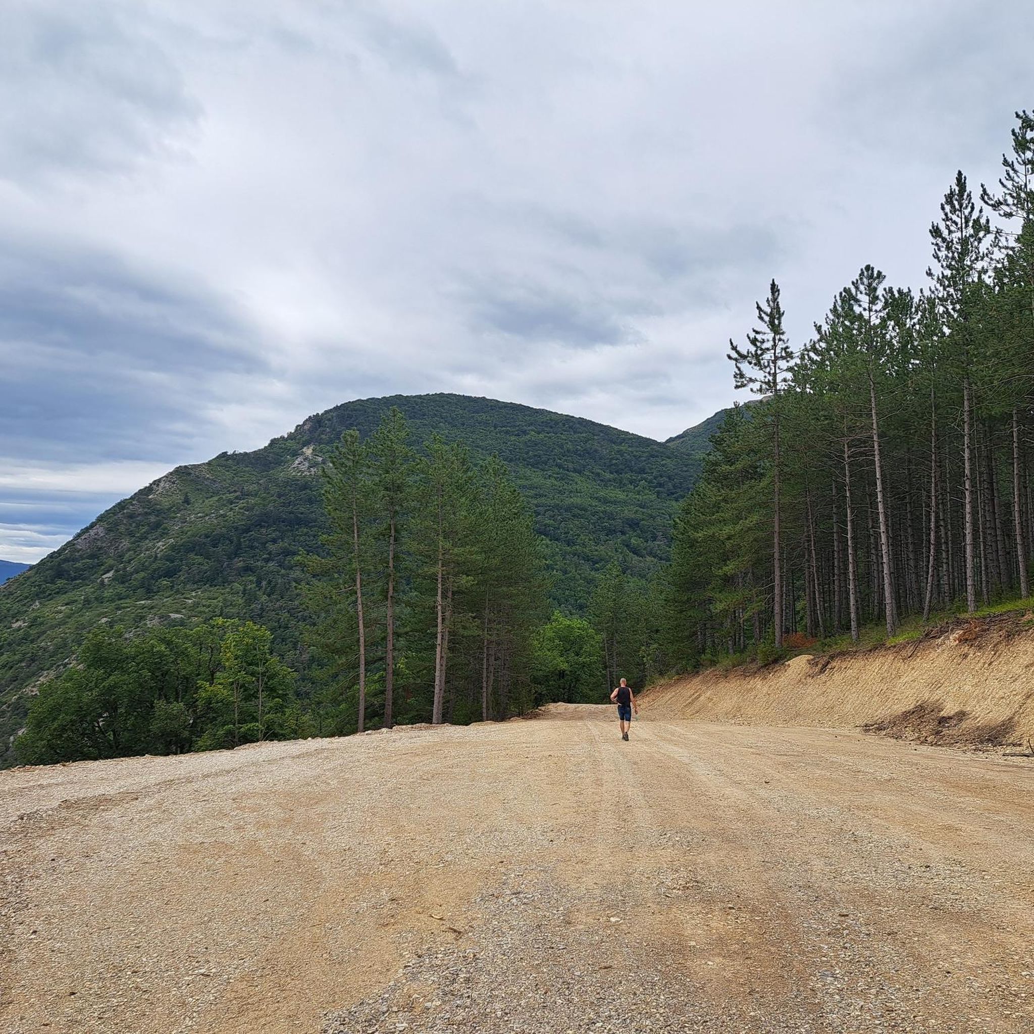
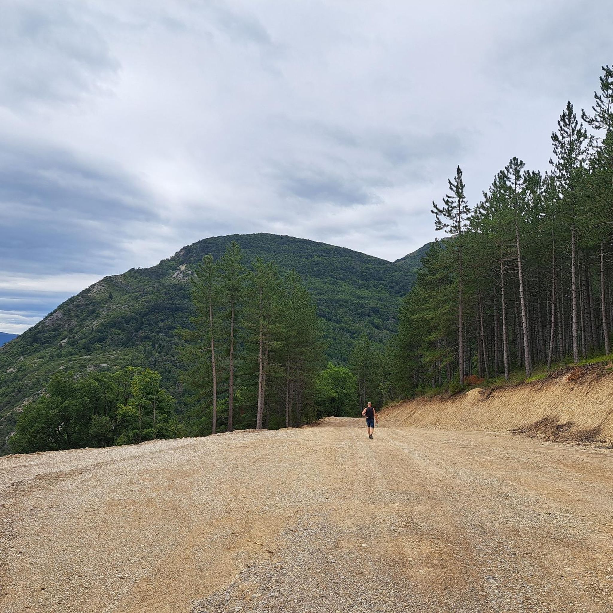
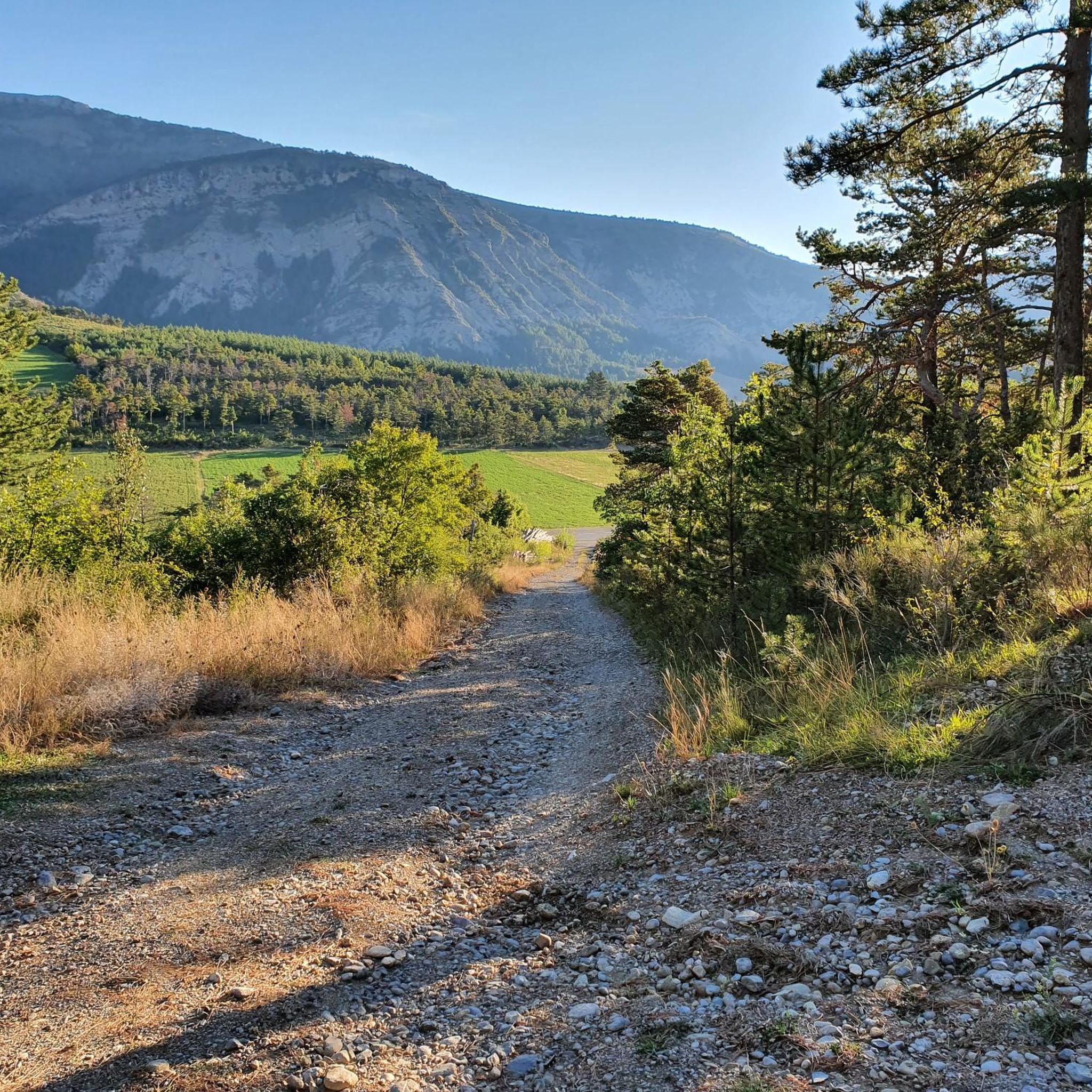
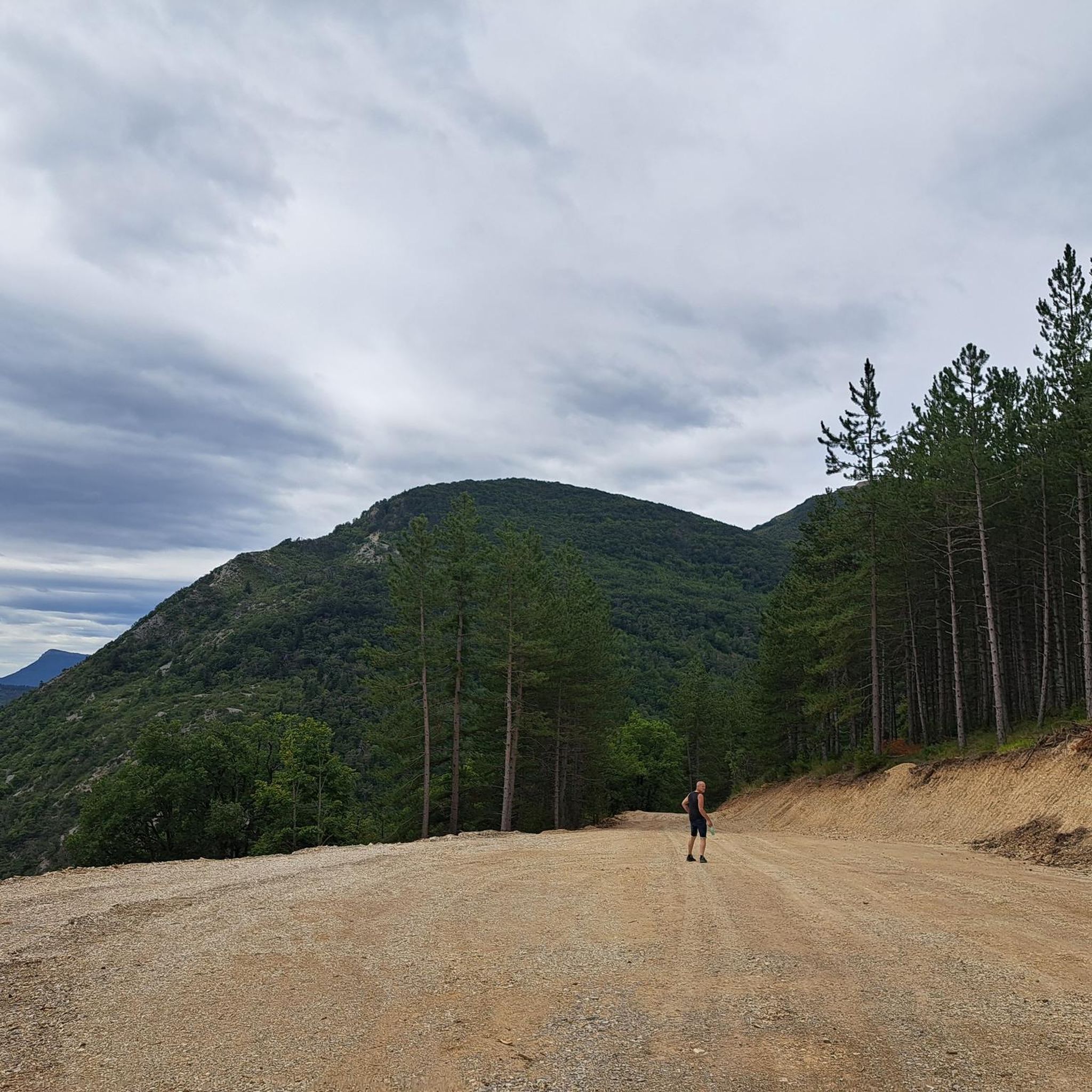
Discovery of a small part of the loop. I really enjoyed this route and it made me want to discover the loop in its entirety.
0
0
Super beautiful passage, nature has given its best here.
11
0
Cross the spectacular cluse of Sigottier, a narrow gorge carved by the Aiguebelle stream between imposing limestone walls.
14
0
The Sigottier road (RD 27) is one of the most beautiful scenic roads in the Sigottier area, in the Hautes-Alpes.
16
0
The Haut-Buëch circuit is a 77 km loop around Veynes, which crosses several mountain passes. Classified as difficult, it mainly takes place on shared roads (100%), has an elevation gain of 827 meters, and is recommended for experienced cyclists. The estimated travel time is about 6 hours and 29 minutes. Points of interest along the route include the Veynes railway workers' ecomuseum and the castle of Aspremont.
7
0
The Col d'Espreaux is a climb located in the Hautes-Alpes region. This climb is 12.2 km long, with a total elevation gain of 585 m. The Col d'Espreaux has an average gradient of 4.8%.
18
0
The water here is very good and fresh.
17
0
Frequently Asked Questions
What kind of terrain can I expect on road cycling routes around Aspres-Sur-Buëch?
The region offers diverse and picturesque landscapes, primarily featuring mostly paved surfaces for a smooth ride. You'll encounter a mix of sunny, stony paths and lush wooded areas, dramatic marls landscapes with unique geometric mountain shapes, and limestone massifs typical of the Prealps. Many routes also traverse mythical passes, providing spectacular views of the Drôme and Hautes-Alpes regions.
Are there road cycling routes suitable for beginners in Aspres-Sur-Buëch?
While many routes are challenging, there are options for various fitness levels. The region offers at least one easy route and seven moderate routes, making it possible for less experienced cyclists to find suitable paths. For example, the Col de Carabès – Wunderschöne Straße loop from Aspres-sur-Buëch is a moderate option.
What are some challenging road cycling routes in the region?
Aspres-Sur-Buëch is known for its challenging routes, including mythical passes featured in major cycling competitions. Difficult options include the Lake Pelleautier – Espréaux Pass loop from Aspres-sur-Buëch, which crosses the unique Espréaux Pass. Another demanding ride is the Col de Carabès – Cabre Pass (1,180 m) loop from Aspres-sur-Buëch, offering significant elevation gain and views of the Drôme and Hautes-Alpes.
How many road cycling routes are available in Aspres-Sur-Buëch?
There are over 20 road cycling routes available around Aspres-Sur-Buëch, catering to a range of abilities from easy to very challenging. The komoot community has explored these routes extensively, with over 2000 road cyclists using them.
What natural features can I see while road cycling in Aspres-Sur-Buëch?
You can explore diverse natural features, including the picturesque Gorges d'Agnielles and the 'marmites du diable' along the Buëch River. The region also offers views of the dramatic Dévoluy Massif, with majestic peaks like Pic de Bure and Obiou, and the unique marls landscapes around the Espréaux Pass.
Are there any notable passes to cycle over in Aspres-Sur-Buëch?
Yes, the region is home to several mythical passes. You can cycle over the Col de Carabès, the Col d'Espréaux, and the Col du Festre, known for its wide road and panoramic views. Other passes include Col de Cabres, Col des Tourette, Verniers Pass, and Col de la Croix.
What historical sites can be found near the cycling routes?
Cyclists can discover the remains of the Clausonne Abbey, an ancient monastic site that offers a glimpse into the region's rich history. This historical site is accessible from various routes in the area.
Are there circular road cycling routes available?
Many of the road cycling routes around Aspres-Sur-Buëch are designed as loops, allowing you to start and finish in the same location. Examples include the Buesch dam – Faye Pass loop from Aspres-sur-Buëch and the Gorges des Gats – Claps Rock Chaos loop from Aspres-sur-Buëch.
Are there long-distance road cycling routes in Aspres-Sur-Buëch?
Yes, for those seeking longer rides, the region offers several extensive routes. The Gorges des Gats – Claps Rock Chaos loop from Aspres-sur-Buëch is a notable long-distance option, covering 114.5 km with significant elevation changes, typically completed in about 5 hours 46 minutes.
What is the best time of year for road cycling in Aspres-Sur-Buëch?
The region benefits from a southern climate, making it enjoyable for road cycling across many seasons. Spring and autumn generally offer pleasant temperatures and beautiful scenery. Summer can be warm, but the Buëch River provides opportunities for cooling off. Winter cycling conditions would depend on snow and ice on higher passes.
What do other road cyclists enjoy the most about road cycling in Aspres-Sur-Buëch?
The area is highly rated by the komoot community, with an average score of 4.5 stars from over 90 reviews. Cyclists often praise the diverse and picturesque landscapes, the challenge of the mythical passes, and the smooth, mostly paved surfaces. The unique marls landscapes and stunning views of the Drôme and Hautes-Alpes regions are frequently highlighted.
Are there any lakes or water features accessible from the road cycling routes?
Yes, the wider Hautes-Alpes department, which borders Aspres-Sur-Buëch, features numerous lakes, some equipped for swimming and various water sports. The Shores of the Lake is a highlight that can be incorporated into a ride, offering a scenic break.
Most popular routes around Aspres-Sur-Buëch
Most popular attractions around Aspres-Sur-Buëch

Get inspired with the komoot mobile app


Explore more
Browse the best Road cycling routes in other regions.
