The best walks and hikes around Le Noyer
4.6
(640)
6,301
hikers
260
hikes
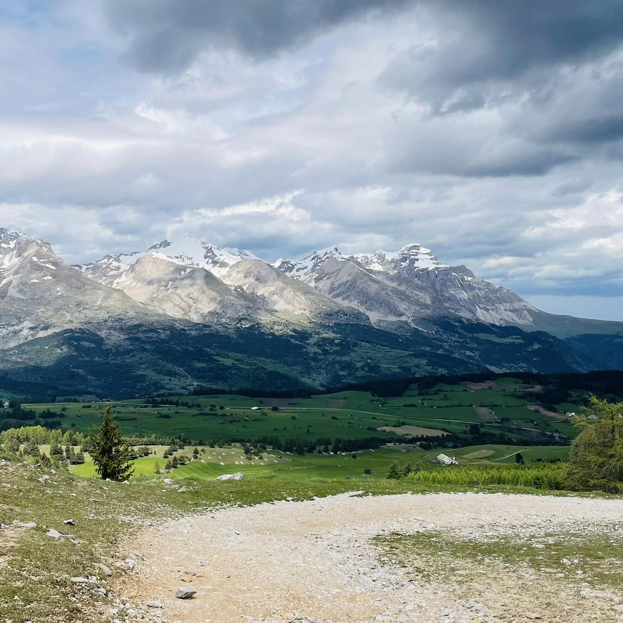
Hiking around Le Noyer, located in the Hautes-Alpes department of southeastern France, offers access to diverse mountain landscapes. The region is characterized by its proximity to the Écrins National Park, featuring a mix of mountain scenery, hidden valleys, and dense forests. The Drac river flows through the area, providing scenic riverside trails. A prominent feature is the Col du Noyer, a mountain pass at 1664 meters, known for its panoramic views.
Best hiking trails around Le Noyer
- The most popular…
Last updated: July 9, 2026
4.7
(3)
18
hikers
3.25km
00:59
110m
110m
Easy hike. Great for any fitness level. Easily-accessible paths. Suitable for all skill levels.
17
hikers
1.97km
01:06
160m
160m
Hard hike. Great for any fitness level. Sure-footedness, sturdy shoes and alpine experience required.

Sign up for free
4
hikers
8.79km
03:05
480m
490m
Moderate hike. Good fitness required. Easily-accessible paths. Suitable for all skill levels.
8
hikers
4.63km
01:25
170m
170m
Easy hike. Great for any fitness level. Easily-accessible paths. Suitable for all skill levels.
1
hikers
6.27km
02:03
290m
290m
Moderate hike. Good fitness required. Easily-accessible paths. Suitable for all skill levels.
Get access to more routes and recommendations from other explorers.
Sign up for free
Already have an account?
Our route recommendations are based on thousands of hikes, rides, and runs completed by other people on komoot.
Start today with a free account
Your next adventure awaits.
Login or Signup
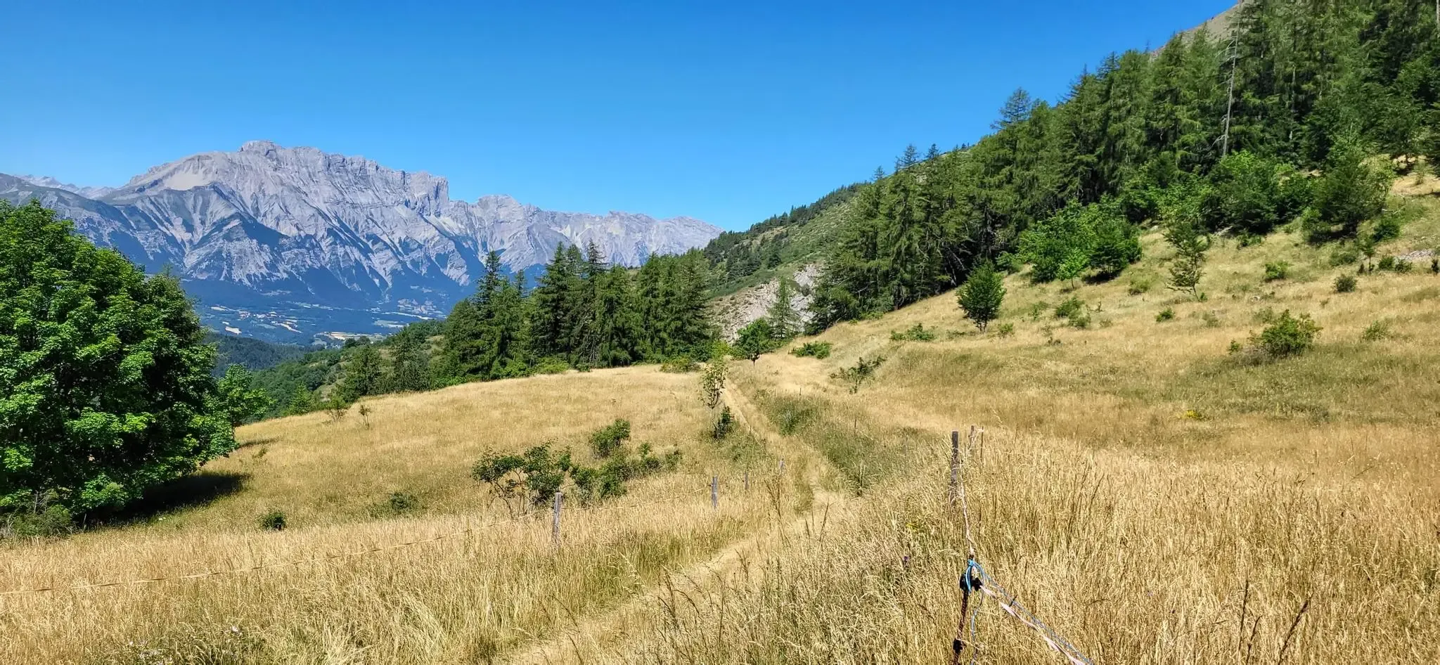
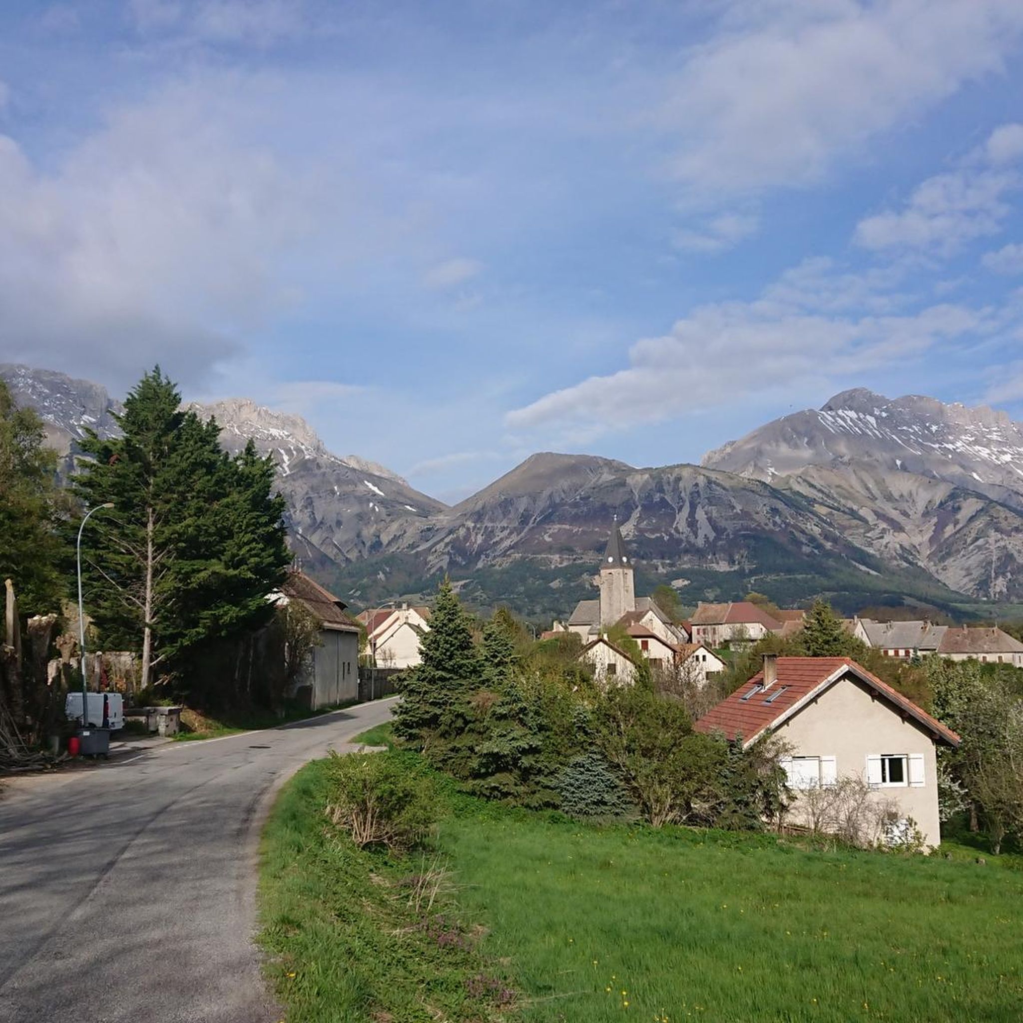
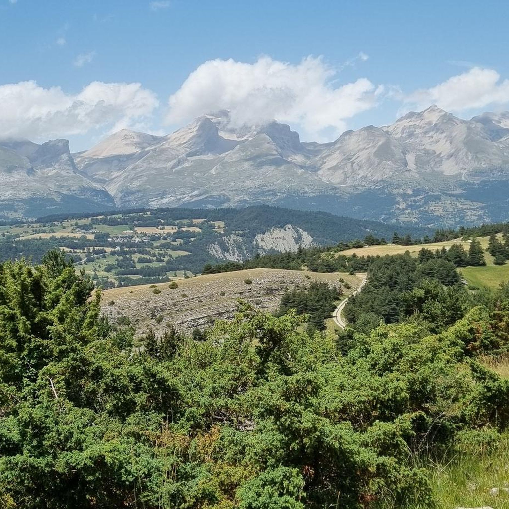
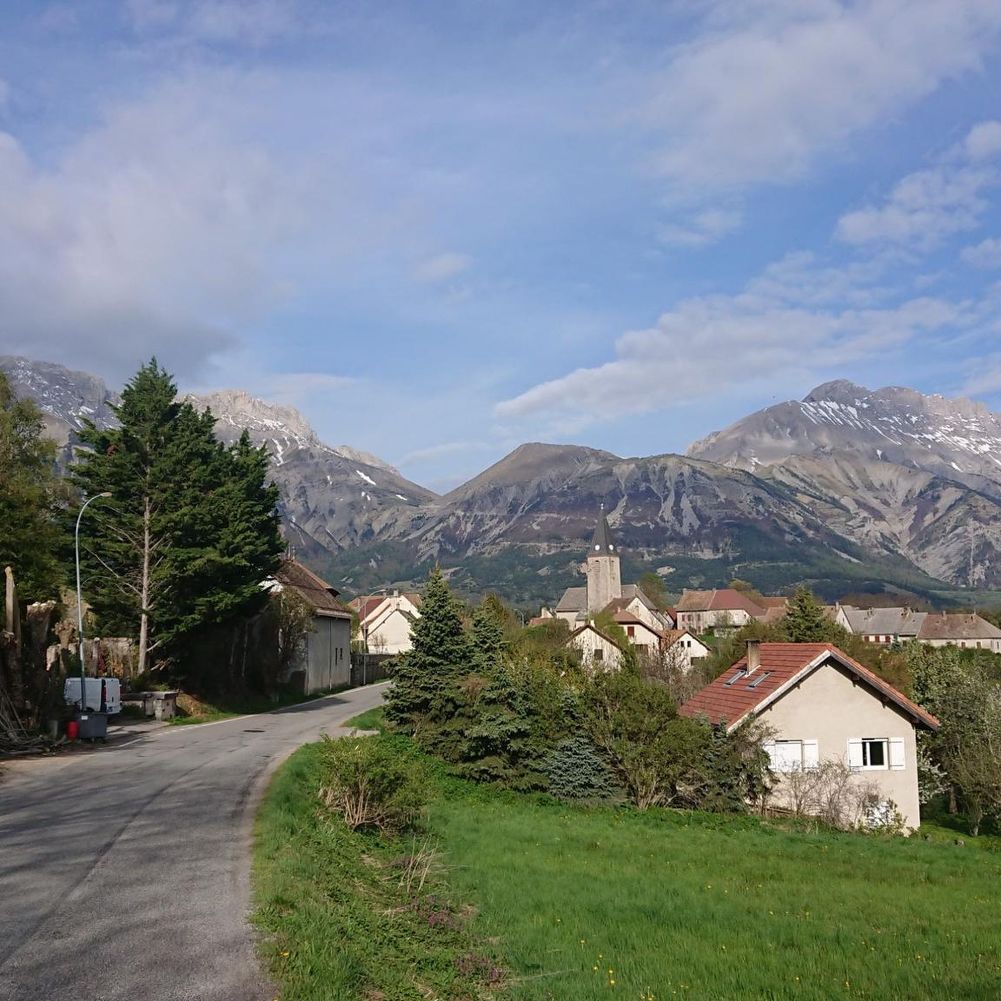

Other adventures around Le Noyer

Tips from the Community

At times challenging climb with practically non-existent traffic. Panorama of indescribable beauty.
24
0

Magnificent Switchbacks! Real mountain road. When you arrive from Devoluy, discovering the view of Champsaur is absolutely magnificent. The descent is also very beautiful and fun but beware it remains a pass open to traffic even if the latter remains very light.
0
0

The Col de Noyer is a French mountain pass that separates the valleys of Champsaur and the Dévoluy region, in the Hautes-Alpes department. At an altitude of 1664 m, it is located between the Pic Ponsin and the Tête du Tourneau. It crosses the eastern ridge of the Dévoluy limestone massif.
1
0

Spectacular view. Two different atmospheres on each of the two arrivals, one very mineral, the other more bucolic.
3
0

Low traffic road, very quiet. On the Gapençais side, only one hard ramp (11%), not very long. Magnificent descent on the Dévoluy side, 5* panorama
5
0

Small alpine pass from the Drac valley to the Dévoluy plateau, at the pass a small hut, great view of the Drac valley. Relatively narrow road, little traffic, completely asphalt. More information: https://www.quaeldich.de/paesse/col-du-noyer/
3
0

Frequently Asked Questions
How many hiking trails are available around Le Noyer?
There are over 250 hiking trails around Le Noyer, offering a wide range of options for all skill levels. This includes 68 easy routes, 130 moderate routes, and 52 difficult routes.
Are there any circular hiking routes in Le Noyer?
Yes, Le Noyer offers several circular walks. For example, the Col de Saume loop from Col du Noyer is an easy 3.3 km trail that takes about 1 hour. A more challenging option is the Col de Saume – Col du Noyer (1664 m) loop from Col du Noyer, a difficult 4.7 km route that can be completed in about 1 hour 25 minutes.
What kind of landscapes can I expect to see while hiking near Le Noyer?
Hiking around Le Noyer offers diverse mountain landscapes, including hidden valleys, dense forests, and scenic riverside trails along the Drac river. The region is close to the Écrins National Park, providing stunning alpine scenery. A highlight is the Col du Noyer (1664 m), known for its panoramic views of the Champsaur valley.
Are there any family-friendly walks in the area?
Yes, Le Noyer has family-friendly walks, including botanical trails that highlight local flora with interpretive panels. Many of the easy routes, such as the Col de Saume loop from Col du Noyer, are suitable for families looking for a shorter, less strenuous outing.
What are some notable natural attractions or landmarks to explore near Le Noyer?
Beyond the trails, you can explore several natural attractions. These include the dramatic Infernet Gorge, the unique Gillardes Spring, and the impressive Chemin de rondes and its cliffs. For panoramic views, consider visiting Gleize Peak or the Collet du Tat.
What is the best time of year for hiking in Le Noyer?
The region is ideal for hiking from spring through autumn, when the weather is generally mild and trails are clear. Summer offers lush landscapes, while autumn brings vibrant colors. Some trails may be accessible for winter hiking, but require appropriate gear and experience due to snow and ice conditions, especially at higher elevations like the Col du Noyer.
Are there any challenging routes for experienced hikers?
Absolutely. For experienced hikers, there are 52 difficult routes available. An example is the Tourneau Peak loop from Col du Noyer, a difficult 1.9 km route with significant elevation gain, taking approximately 1 hour and 4 minutes. More strenuous options involve over five hours of hiking or more than 3,000 feet of elevation gain, often requiring sure-footedness and alpine experience.
What do other hikers say about the trails in Le Noyer?
The trails in Le Noyer are highly rated by the komoot community, with an average score of 4.5 stars from over 500 reviews. Hikers often praise the diverse mountain scenery, the well-maintained paths, and the breathtaking views, particularly from spots like the Col du Noyer.
Are there any hikes accessible by public transport?
While specific public transport links directly to trailheads can vary, many routes in the region start from villages or mountain passes that may have seasonal bus services. It's advisable to check local transport schedules for services connecting to areas like Le Noyer village or the Col du Noyer, especially during peak hiking seasons.
Can I find hikes that offer views of mountain passes?
Yes, the region is known for its mountain passes. The Col du Noyer (1664 m) is a prominent feature and a starting point for several hikes offering magnificent vistas. Other passes like Col de Gleize (1691 m) also provide stunning views and access to further trails.
Are there any long-distance hiking options or multi-day treks near Le Noyer?
While the provided routes are generally day hikes, Le Noyer's proximity to the Écrins National Park means that more extensive and multi-day trekking opportunities are accessible for experienced hikers seeking longer adventures within the broader network of trails in the park.
What is the typical duration for hikes around Le Noyer?
Hikes around Le Noyer vary significantly in duration. Easy routes, like the Col de Saume loop from Col du Noyer, can take about 1 hour. Moderate trails, such as the Col de Saume loop from Le Noyer, typically require around 3 hours. More difficult and longer routes can extend to over five hours, depending on the elevation gain and terrain.
Most popular routes around Le Noyer
Most popular attractions around Le Noyer

Get inspired with the komoot mobile app


Explore more
Browse the best Hikes in other regions.
