The best MTB trails around Peyriac-Minervois
4.5
(155)
1,325
riders
122
rides
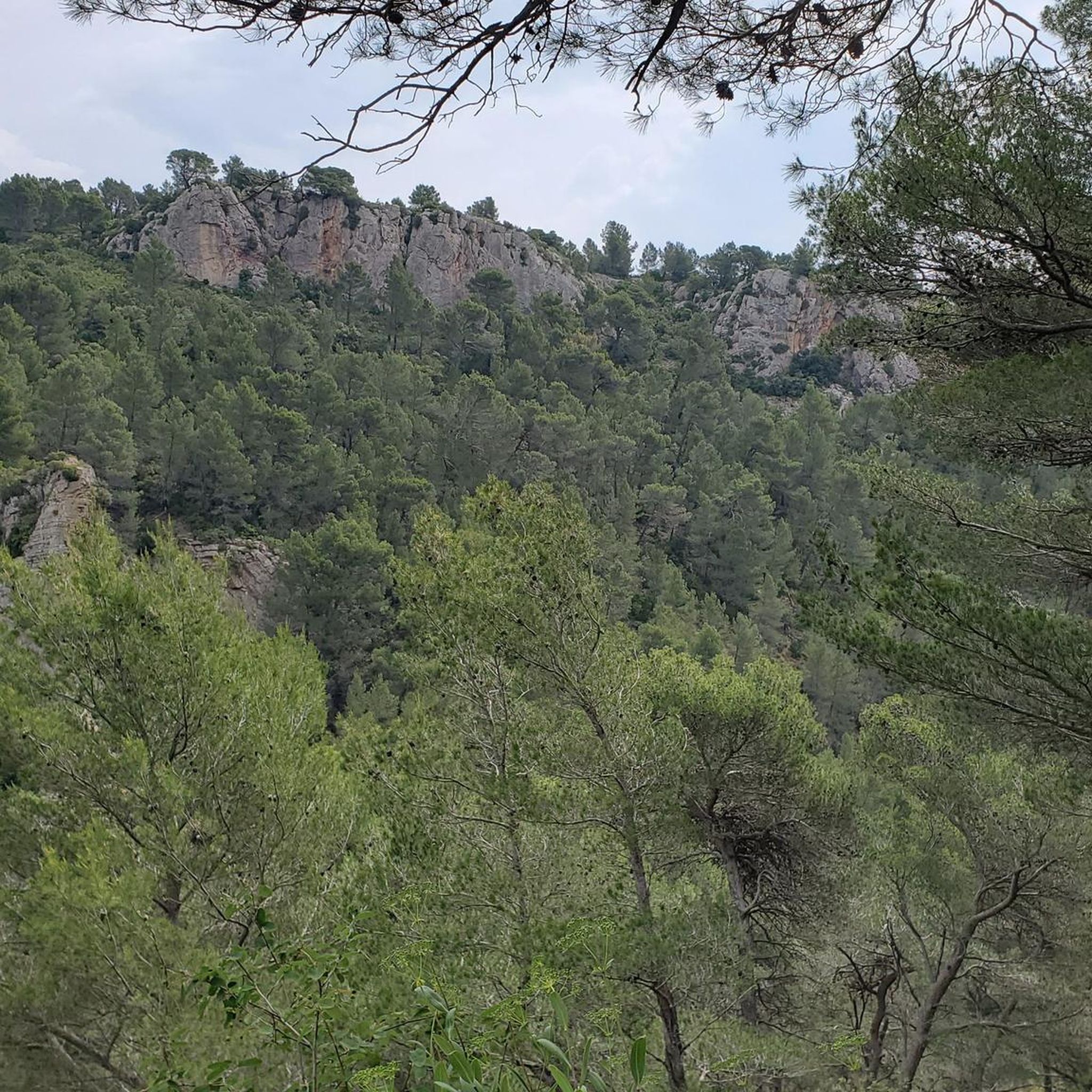
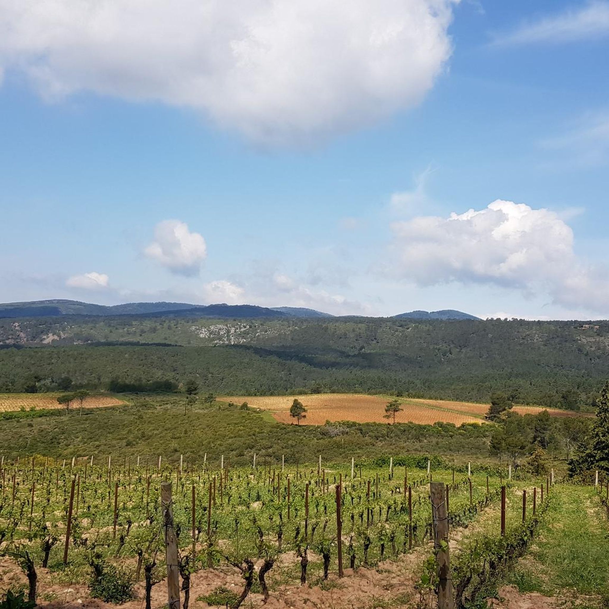
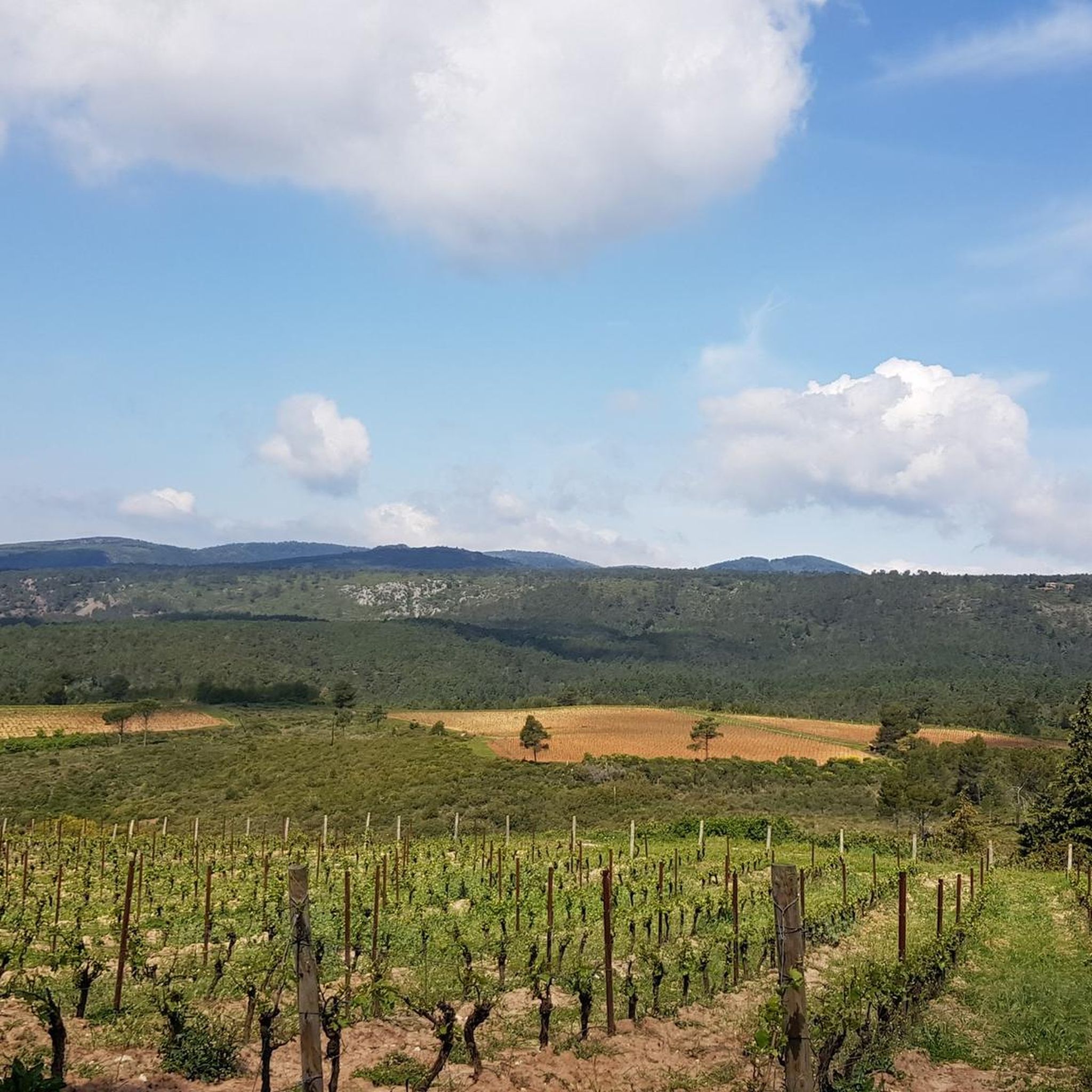
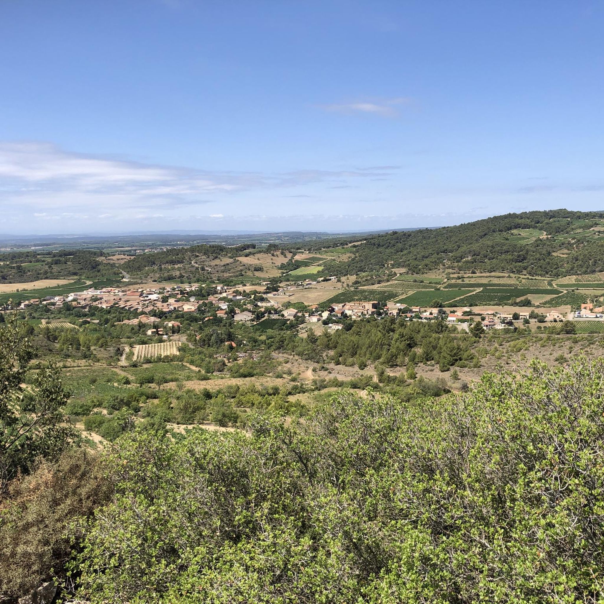
Mountain biking around Peyriac-Minervois offers diverse landscapes, including expansive vineyards, dense scrubland, and wooded areas that climb into higher elevations. The region features varied terrain, from the flat paths along the Canal du Midi to the rolling hills and more challenging ascents of the Montagne Noire. Rivers like the Argent-Double and historical marble quarries also contribute to the varied natural features encountered on the trails. This combination provides a range of mountain bike routes suitable for different skill levels.
Best…
Last updated: July 4, 2026
5.0
(4)
19
riders
41.8km
04:03
900m
900m
Hard mountain bike ride. Very good fitness required. Advanced riding skills necessary.
6
riders
62.2km
05:38
1,300m
1,300m
Hard mountain bike ride. Very good fitness required. Advanced riding skills necessary. Some portions of the route may require you to push your bike.

Sign up for free
4.5
(2)
7
riders
36.7km
02:37
190m
190m
Moderate mountain bike ride. Good fitness required. Suitable for all skill levels.
3.0
(1)
6
riders
30.6km
02:55
730m
730m
Moderate mountain bike ride. Good fitness required. Suitable for all skill levels.
5.0
(1)
5
riders
42.6km
03:09
610m
610m
Moderate mountain bike ride. Good fitness required. Suitable for all skill levels.
Get access to more routes and recommendations from other explorers.
Sign up for free
Already have an account?
Our route recommendations are based on thousands of hikes, rides, and runs completed by other people on komoot.
Start today with a free account
Your next adventure awaits.
Login or Signup

Tips from the Community

A landmark on the way to Minerve. You'll face a bit of a climb.
0
0

The bridge is in Homps
0
0

superb mountain bike outing 👍
0
0

Passing the mountain pass between Aude and Hérault
0
0

Naudy Tunnel This is the centerpiece of the pond's irrigation canals. On October 20, 1849, the construction of a water intake was authorized for irrigation and sealing the pond's soil. Work began the same year. The tunnel was inaugurated on November 19, 1851. The canal measures 2,135 meters. The passage under the Canal du Midi has not required any repairs to this day. Less than a year after the tunnel was dug, on April 28, 1852, the estate was sold to a private company. The new owners attempted large-scale rice cultivation and achieved good results, but this crop was abandoned in 1860 because malaria fever led to petitions, protests from the mayors of the surrounding villages, and successive lawsuits. More information on the website: http://aiguesvives11.org/etang_marseillette/carac_etang.htm (Puichéric Town Hall)
0
0
Second Period In 1759, Roudil de Berriac, Lord of Ranchin and Mayor of Carcassonne, committed to draining the Marseillette Pond within eight years. In 1760, he obtained exclusive rights to drain the pond through a decree of King Louis XV's Council. The pond was acquired in 1778 by an engineer and member of the Toulouse Academy of Sciences, Monsieur de Garipuy, who had traveled to Holland to study the drainage project. Upon his death, the pond was purchased by Madame Riquet de Caraman on behalf of the owners of the Canal du Languedoc. In 1789, the pond became state property. Map of the Marseillette Pond Third Period In 1804, the pond was resold on the condition that the drainage be completed within four years. It was then acquired by Mrs. Lawless, an Irish woman. She had the Aiguille channel re-dug and widened and the Plains aqueduct rebuilt over three arches. Three other channels were opened inside the pond, together forming a length of 8,977 meters. These drainage channels are the ones that still exist today. Mrs. Lawless had 18 farmsteads built on the 2,000 hectares. In 1834, wheat, oats, and barley were harvested in the pond, but the owner was ruined. In 1844, the estate was expropriated in favor of the French Mortgage Fund. Saline efflorescence was killing the vegetation. Water was lacking; the land would have to be submerged to desalinate it. The idea was to divert some of the water from the Aude River, which flows two kilometers away, into the pond. But the Aude and the pond are separated by a plateau 30 to 45 meters high and this obstacle seems insurmountable.
0
0
The dried-up pond of Marseillette is an atypical site in our region. To learn about and understand it, we must go back to the Tertiary period. At that time, the sea covered the area. As it retreated, it left ponds behind. This one must have been particularly important, as it would still exist if it hadn't been drained by humans during the 19th century. Irrigation canals run through the pond, giving it a unique character. Today, the pond's main crops are vines, apples, and rice, crops celebrated at the annual Aigues-Vives fair in October. It is even said that the salt, always present underground, contributes to giving these products the subtle flavor that makes them unique... Near the Canal du Midi, its paths will lead you to the Aiguille Lock (Puichéric), a remarkable site where you can admire the sculptures of Joël Barthes. The Marseillette Pond ASA manages the maintenance work necessary for the proper functioning of the kilometers of irrigation canals and the Naudy tunnel. The pond covers the territory of the municipalities of Marseillette, Puichéric, Aigues-Vives, and Saint Frichoux. Drainage, First Period In 1585, the first attempt to drain the 2,000 hectares of stagnant water, where mosquitoes, vectors of many diseases, were teeming, failed (due to wars). In 1605, on the advice of Sully and Olivier de Serres, the first agricultural encyclopedist, the royal decree mandating the drainage of the pond was issued. Work did not truly begin until 1628, under the reign of Louis XIII, advised by Richelieu. A trench running through Puichéric allowed the water to drain into the Aude River: this was the Rigole de l'Étang. In 1638, Théophile Ranchin completed the drainage of this lower part of the basin, but maintenance of the canals was neglected and cultivation was abandoned following a plague epidemic and a war, and most of the land was once again flooded. Between 1644 and 1647, the Ranchins built the Château de Fonfile on the banks of the pond, where they settled to oversee the simultaneous drainage and cultivation work. The dried-up pond was partially cultivated, but a supply of fresh water other than rainwater would have been necessary to make the land truly cultivable. In 1677, Daniel de Ranchin had virtually abandoned the pond.
0
0

Frequently Asked Questions
How many mountain bike trails are available around Peyriac-Minervois?
There are over 100 mountain bike trails available around Peyriac-Minervois, offering a diverse range of experiences. These include routes through vineyards, scrubland, and the more challenging ascents of the Montagne Noire.
What kind of terrain can I expect on mountain bike trails in Peyriac-Minervois?
The terrain around Peyriac-Minervois is highly varied. You'll find expansive vineyards, dense scrubland, and wooded areas that climb into higher elevations towards the Black Mountains. Routes also feature flat paths along the UNESCO World Heritage site of the Canal du Midi, rolling hills, and areas with historical marble quarries. The landscape includes stony earth terraces, sandstone, and chalky marlstone.
Are there mountain bike trails suitable for beginners in Peyriac-Minervois?
Yes, Peyriac-Minervois offers around 20 easy mountain bike trails. These routes often include paved paths and flatter sections, making them suitable for those new to mountain biking or looking for a more relaxed ride.
Where can I find more challenging mountain bike routes near Peyriac-Minervois?
For more challenging rides, explore the routes that venture into the Montagne Noire (Black Mountains) to the north. These trails feature more rugged terrain, significant elevation gains, and unpaved segments. There are approximately 19 difficult routes in the area, such as the 56.4 km Trencavel Tower – Notre-Dame du Cros Church loop from Rieux-Minervois, which includes over 1200 meters of elevation gain.
Are there any circular mountain bike routes in Peyriac-Minervois?
Yes, many of the mountain bike trails in Peyriac-Minervois are circular, allowing you to start and end at the same point. An example is the View of the Countryside – Saint Eugène Dolmen loop from Laure-Minervois, a moderate 38.2 km route.
What natural features or landmarks can I see along the mountain bike trails?
Many trails offer views of significant natural features and historical landmarks. You can ride along the Canal du Midi, passing highlights like the Canal du Midi Bridge and the Argent-Double aqueduct and spillway. Other routes might take you past the Carrière des Bessous (marble quarries) or offer panoramic views from points like the Roc de l'Aigle. The Peyriac Ponds are also a highlight, known for local flora and fauna, including pink flamingos.
Are there any trails that pass by historical sites?
Absolutely. The region is rich in history. For instance, the Vieux Moulin – Trencavel Tower loop from La Livinière takes you past an old mill and the historic Trencavel Tower. Another route, the Visigoth Cemetery loop from Laure-Minervois, explores ancient sites.
What is the best time of year to go mountain biking in Peyriac-Minervois?
The Minervois region benefits from a Mediterranean climate with long, hot summers and mild winters. Spring and autumn are generally ideal for mountain biking, offering pleasant temperatures and vibrant landscapes. Summers can be very hot, so early morning or late afternoon rides are recommended if visiting during peak summer months.
What do other mountain bikers say about the trails in Peyriac-Minervois?
The mountain bike trails in Peyriac-Minervois are highly rated by the komoot community, with an average score of 4.6 stars from over 150 reviews. Riders often praise the varied terrain, the beautiful vineyard landscapes, and the combination of natural beauty with historical points of interest.
Are there family-friendly mountain bike routes in the area?
Yes, the region offers routes suitable for families, particularly the easier trails that feature less elevation and smoother surfaces. The paths along the Canal du Midi are often a good choice for a relaxed family outing, as they are generally flat and scenic.
Is there parking available at the trailheads?
Parking is generally available in or near the starting points of many routes, especially in the villages like Laure-Minervois, La Livinière, and Trausse. It's advisable to check specific route details for precise parking information.
Most popular routes around Peyriac-Minervois
Most popular attractions around Peyriac-Minervois

Get inspired with the komoot mobile app


Explore more
Browse the best MTB trails in other regions.
