The best MTB trails around Rieux-Minervois
4.6
(213)
1,312
riders
142
rides
Mountain bike trails around Rieux-Minervois traverse a diverse landscape, characterized by rugged garrigue, vast limestone plateaus, and extensive vineyards. The region features a mix of green forests and charming villages, offering varied terrain for mountain biking. Riders can explore paths along the historic Canal du Midi or venture into the more challenging hills of the Minervois region. This area provides a range of natural features, from elevated viewpoints offering distant views of the Corbières hills to the unique engineering of…
Last updated: July 4, 2026
4.8
(12)
64
riders
110km
07:35
350m
350m
Hard mountain bike ride. Very good fitness required. Suitable for all skill levels.
5.0
(4)
19
riders
41.8km
04:03
900m
900m
Hard mountain bike ride. Very good fitness required. Advanced riding skills necessary.

Sign up for free
4.6
(13)
28
riders
44.4km
03:15
140m
140m
Moderate mountain bike ride. Good fitness required. Suitable for all skill levels.
4.5
(14)
111
riders
62.4km
04:41
250m
250m
Moderate mountain bike ride. Good fitness required. Suitable for all skill levels.
6
riders
62.2km
05:38
1,300m
1,300m
Hard mountain bike ride. Very good fitness required. Advanced riding skills necessary. Some portions of the route may require you to push your bike.
Get access to more routes and recommendations from other explorers.
Sign up for free
Already have an account?
Our route recommendations are based on thousands of hikes, rides, and runs completed by other people on komoot.
Start today with a free account
Your next adventure awaits.
Login or Signup

Tips from the Community


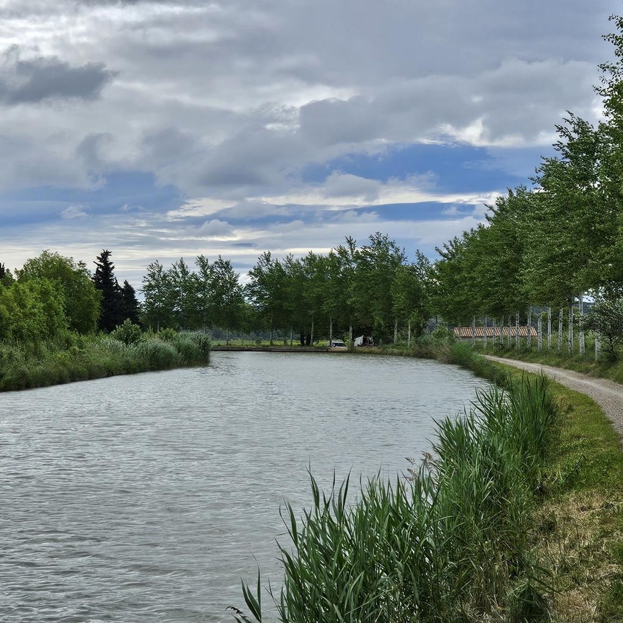
During the canal's construction, Pierre-Paul Riquet allowed streams to flow into the canal. Excess water was discharged through weirs. This system generated alluvial deposits that silted up the canal and disrupted navigation. By 1685, boats were having difficulty navigating in many places. In 1686, King Louis XIV entrusted Vauban with an inspection of the Canal du Midi (then called the Royal Canal of Languedoc). This aqueduct has three arches. At low water levels, the Orbiel River flows only under the western arch. During floods, it overflows its banks, and sometimes the three arches are no longer sufficient to maintain the flow. In the most severe floods, the structure can be completely submerged, as was the case in 2018.
0
0

The bridge is in Homps
0
0

superb mountain bike outing 👍
0
0

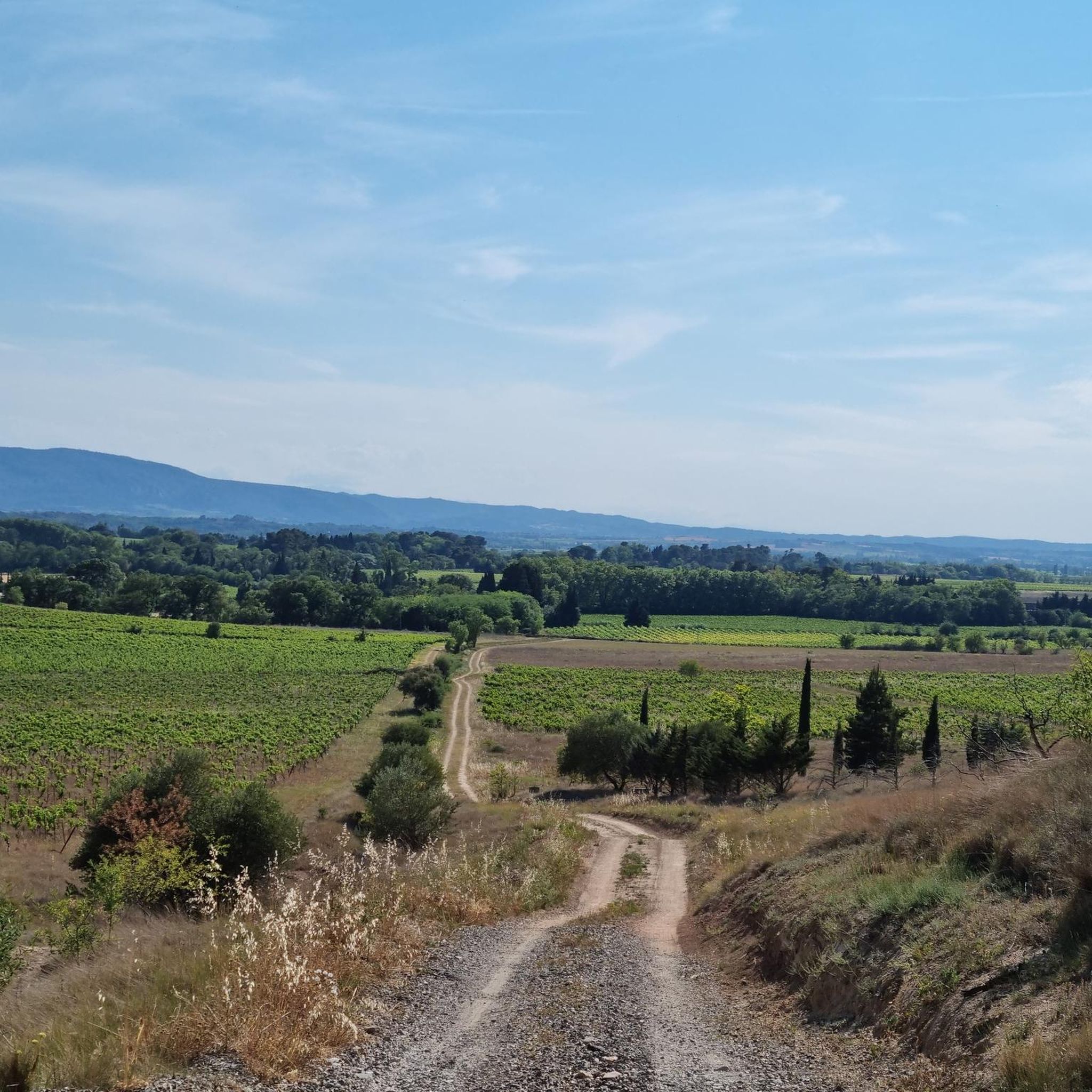
Passing the mountain pass between Aude and Hérault
0
0

Wonderful collection of eccentric art and sculptures, especially the moving ones
0
0

2 tables with benches under a few oak trees that provide good shade
0
0
Frequently Asked Questions
How many mountain bike trails are there in Rieux-Minervois?
Rieux-Minervois offers a comprehensive network of over 120 mountain bike trails. These routes cater to various skill levels, with options ranging from easy to difficult, ensuring there's something for every rider.
Are there mountain bike trails suitable for beginners or families in Rieux-Minervois?
Yes, the region has 20 easy mountain bike routes, perfect for beginners or families. Many paths along the historic Canal du Midi offer relatively flatter, scenic rides. For example, the Canal du Midi Bridge – Argent-Double Spillway loop from Saint-Frichoux is a moderate option that can be enjoyed by those looking for a less strenuous experience.
What kind of terrain can I expect on mountain bike trails in Rieux-Minervois?
The terrain in Rieux-Minervois is highly diverse. You'll encounter rugged garrigue, vast limestone plateaus, and extensive vineyards. Trails also wind through green forests and charming villages, with some routes offering elevated viewpoints of the Corbières hills and Montagne Noire foothills. Paths along the historic Canal du Midi provide a different, often flatter, experience.
Are there challenging mountain bike routes for experienced riders?
Absolutely. Rieux-Minervois features 22 difficult mountain bike routes for experienced riders seeking a challenge. These trails can involve significant elevation gain and technical sections. An example is the demanding Canal du Midi Bridge – Paraza canal bridge loop from Puichéric, which covers over 100 km.
What are some notable landmarks or attractions I can see along the mountain bike trails?
Many trails offer views of historical and natural attractions. You can ride past the unique engineering of the Canal du Midi Bridge and the Argent-Double aqueduct and spillway. The Vieux Moulin – Trencavel Tower loop from La Livinière offers views of the historic Trencavel Tower. Other highlights in the wider region include the Aldène Cave and the Château de Miramont.
Are there circular mountain bike routes available in the Rieux-Minervois area?
Yes, many of the mountain bike trails in Rieux-Minervois are designed as circular routes, allowing you to start and end at the same point. This includes popular options like the Jean Jaurés fountain – Les Bessous, Marbrières. loop from Trausse, which explores varied terrain.
What do other mountain bikers enjoy most about Rieux-Minervois?
The mountain biking experience in Rieux-Minervois is highly rated by the komoot community, with an average score of 4.7 stars from over 170 reviews. Riders frequently praise the diverse landscapes, from rugged garrigue to scenic vineyards, and the well-maintained network of trails that cater to all abilities.
Can I find routes that offer good viewpoints?
Yes, the region's varied topography includes elevated viewpoints that offer distant vistas. You can enjoy breathtaking backdrops of the Corbières hills and the serene beauty of the Montagne Noire foothills on many routes, providing excellent photo opportunities and scenic breaks.
Are there opportunities for wine tourism along the mountain bike trails?
Rieux-Minervois is situated in a designated wine-growing area. While cycling, you'll often pass through picturesque vineyards. Some routes may even allow for pauses at local wineries for tastings, blending outdoor activity with the region's rich gastronomic culture.
What is the best time of year for mountain biking in Rieux-Minervois?
The region generally offers good conditions for mountain biking for much of the year. Spring and autumn provide pleasant temperatures and vibrant landscapes. Summers can be warm, so early morning or late afternoon rides are often preferred during peak season.
Are there guided mountain bike tours available in the Rieux-Minervois region?
Yes, for those seeking a more structured experience, guided mountain bike tours are available. These are led by state-certified monitors and offer excursions ranging from half-day trips to full weeks across the Aude region, including Minervois, Corbières, and the Black Mountain.
Most popular routes around Rieux-Minervois
Most popular attractions around Rieux-Minervois

Get inspired with the komoot mobile app


Explore more
Browse the best MTB trails in other regions.
