The best road cycling routes around Saint-Vincent-Les-Forts
4.4
(194)
7,481
riders
15
rides
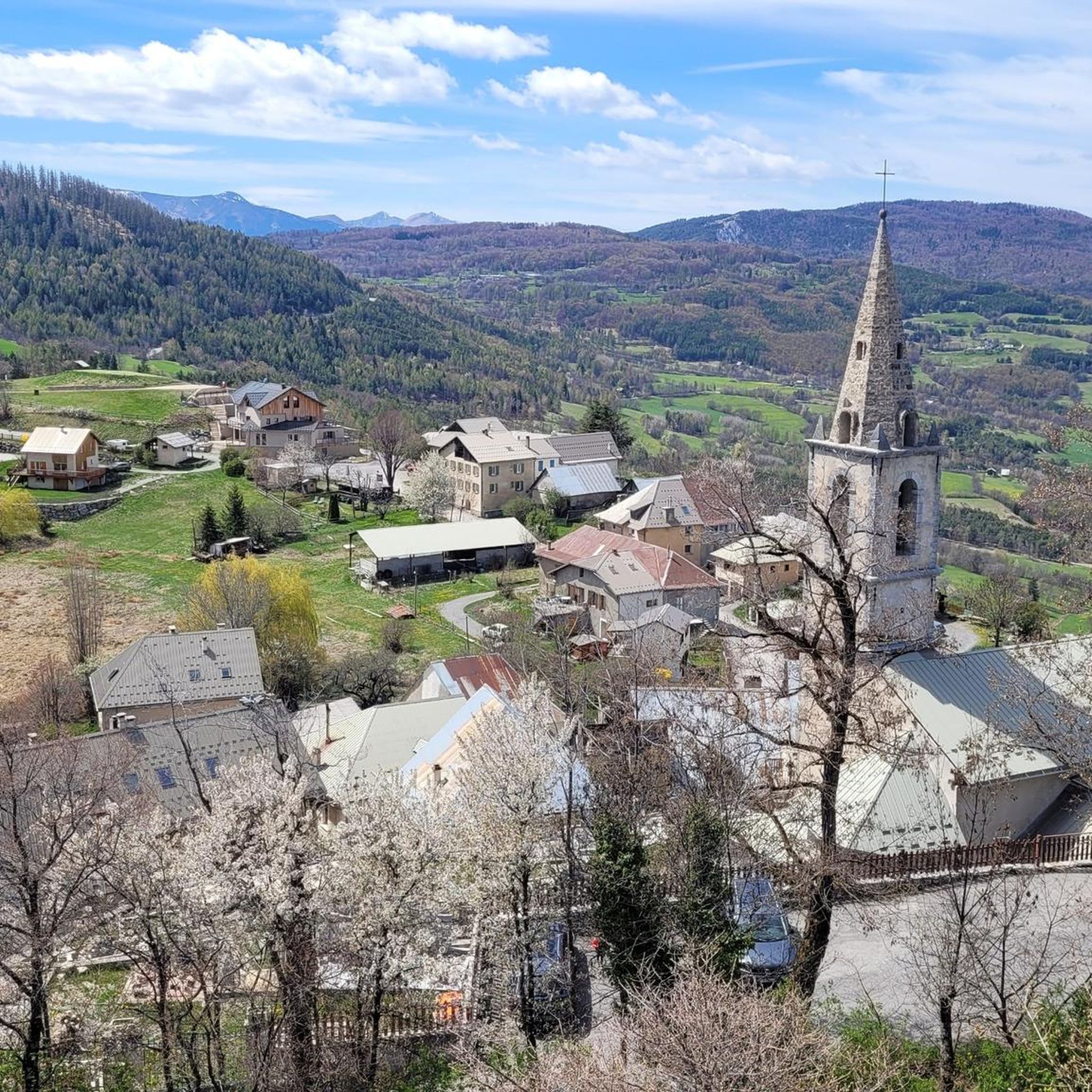
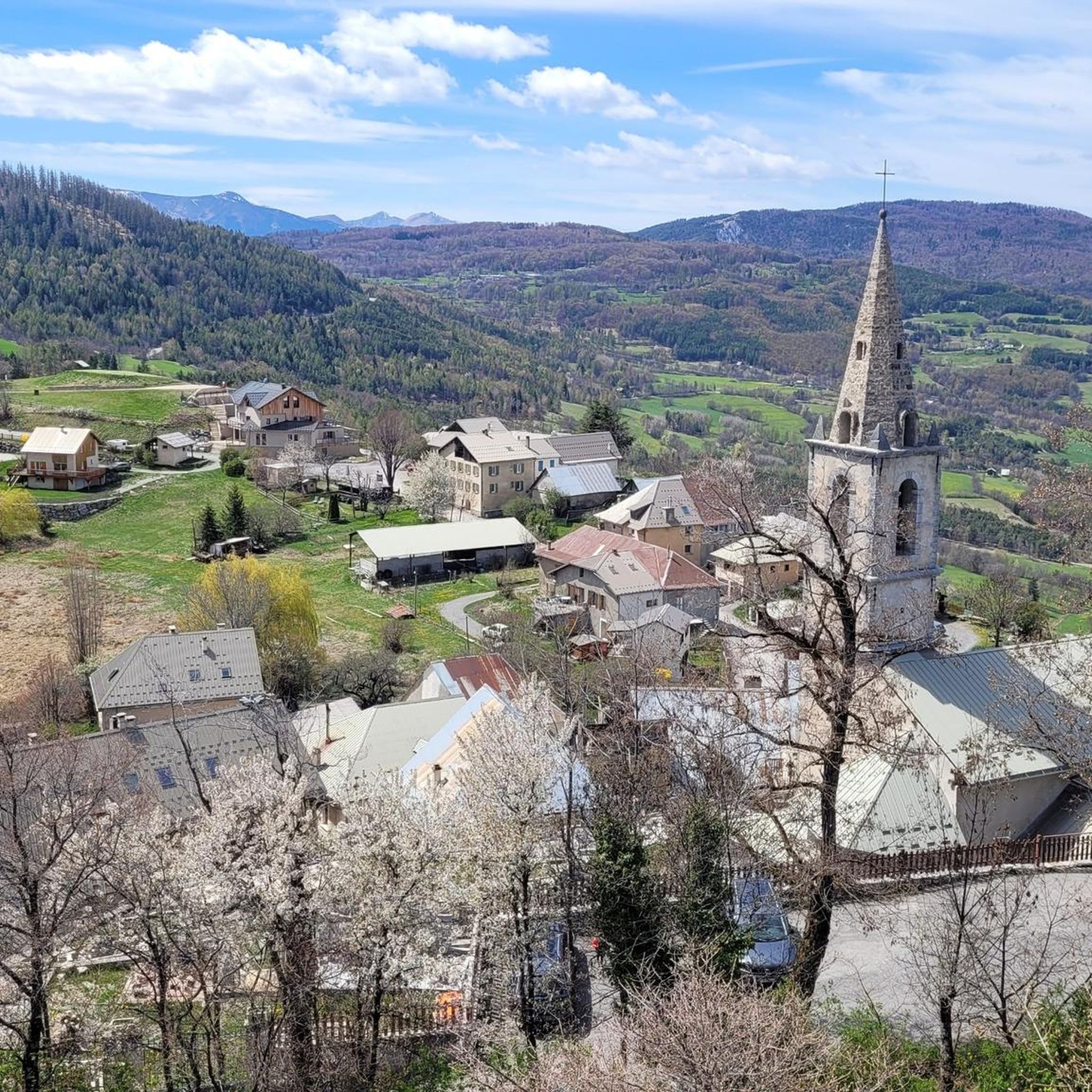
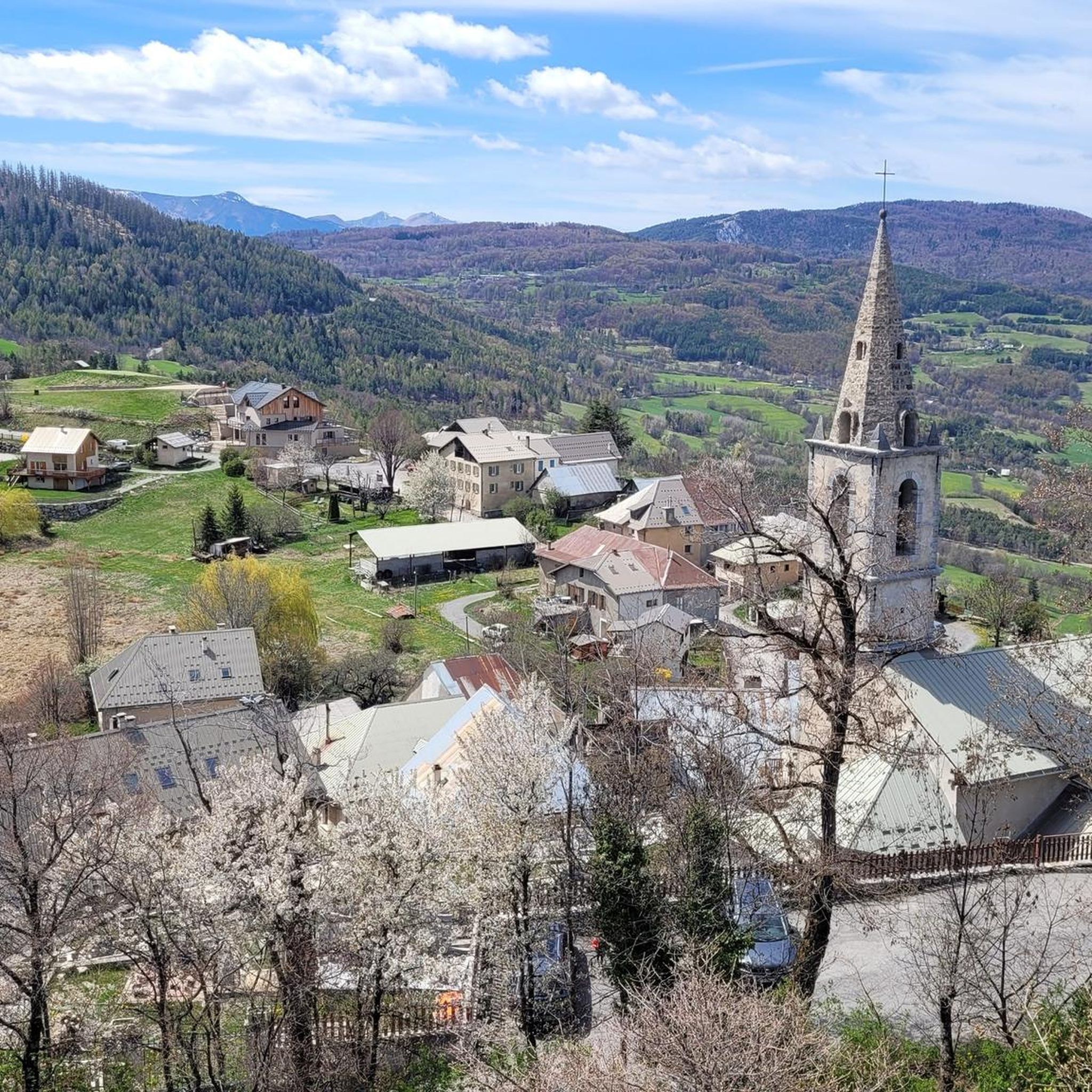
Road cycling around Saint-Vincent-Les-Forts offers varied terrain in the Alpes-de-Haute-Provence, characterized by its position at the gateway to the Ubaye Valley and panoramic views of Lac de Serre-Ponçon. The region features significant elevation changes, including challenging mountain passes like Col de Pontis, and routes that traverse fir and spruce forests. Cyclists encounter a landscape shaped by large artificial lakes, river gorges, and numerous mountain peaks, providing a diverse environment for road biking. The area's natural features include both demanding ascents…
Last updated: May 17, 2026
4.8
(9)
477
riders
120km
06:31
2,380m
2,370m
Hard road ride. Very good fitness required. Mostly well-paved surfaces and easy to ride.
5.0
(5)
102
riders
Hard road ride. Very good fitness required. Mostly well-paved surfaces and easy to ride.

Sign up for free
4.8
(4)
154
riders
95.5km
04:57
1,740m
1,740m
Hard road ride. Very good fitness required. Mostly well-paved surfaces and easy to ride.
4.0
(2)
63
riders
60.1km
03:24
1,330m
1,330m
Hard road ride. Very good fitness required. Some segments of this route may be unpaved and difficult to ride.
4.2
(6)
138
riders
40.3km
02:21
980m
970m
Hard road ride. Very good fitness required. Mostly well-paved surfaces and easy to ride.
Get access to more routes and recommendations from other explorers.
Sign up for free
Already have an account?
Our route recommendations are based on thousands of hikes, rides, and runs completed by other people on komoot.
Start today with a free account
Your next adventure awaits.
Login or Signup

Tips from the Community

Col de Pontis is a climb located in the Serre Ponçon region. This climb is 5.2 kilometers long, with a positive elevation gain of 507 meters. Col de Pontis has an average gradient of 9.7%. With this gradient, the climb has 521 difficulty points. The highest point is at an altitude of 1,299 meters.
0
0

A bit bumpy but a useful alternative to the main road on the other side of the river
0
0

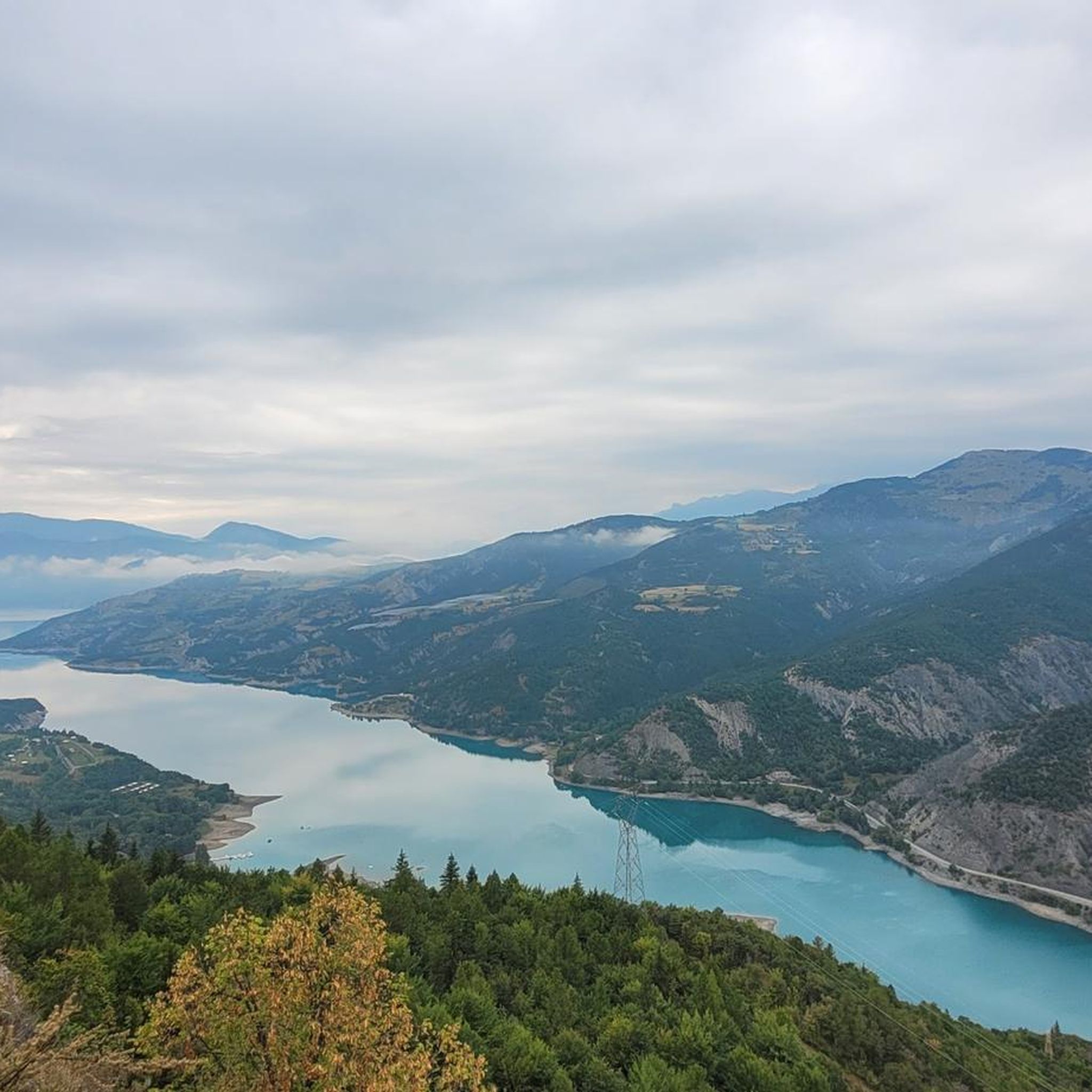
Beautiful place to stop and enjoy the view of the lake
1
0

At this point you can admire a fantastic panorama.
15
0

A source is present a little further down
3
0

There is a fountain further up the climb. The water is good.
0
0
Exceptional point of view.
20
0
A wonderful view of the lake.
19
0
Frequently Asked Questions
How many road cycling routes are available around Saint-Vincent-Les-Forts?
There are over 15 road cycling routes around Saint-Vincent-Les-Forts, offering a variety of experiences for different skill levels. The komoot community has highly rated these routes, with an average score of 4.2 stars.
What kind of terrain can I expect on road cycling routes near Saint-Vincent-Les-Forts?
The terrain around Saint-Vincent-Les-Forts is diverse, characterized by its position at the gateway to the Ubaye Valley and panoramic views of Lac de Serre-Ponçon. You'll encounter significant elevation changes, including challenging mountain passes, routes through fir and spruce forests, and scenic stretches along large artificial lakes. Most routes feature well-paved surfaces suitable for road biking.
Are there challenging road cycling routes for experienced cyclists?
Yes, the region is known for its demanding climbs and alpine passes. For instance, the Jausiers – Quiet alternative route loop from Saint-Vincent-les-Forts is a difficult 120 km trail with over 2,300 meters of elevation gain. Another notable challenge is the Col de Pontis, described as one of France's most beautiful and demanding climbs, offering an average gradient of 9.6% over 5.3 kilometers with new views of Lac de Serre-Ponçon at each hairpin bend.
Can I find any family-friendly or easier road cycling options?
While many routes feature significant elevation, there are options for varying ability levels. The region offers a network that includes moderate routes, and the general area around Lac de Serre-Ponçon provides opportunities for less strenuous rides, especially along its shores. For specific easy routes, it's best to check individual tour details on komoot.
What are some scenic viewpoints or natural features I can see along the road cycling routes?
Road cycling routes in this region offer breathtaking views. You'll frequently encounter stunning panoramas of Lake Serre-Ponçon, especially from elevated sections and passes like the Col de Pontis. Other natural features include the majestic fir and spruce forests of the Ubaye Valley and the dramatic Morgon Peak, which offers a challenging ascent and magnificent mountain pastures.
Are there any historical landmarks or attractions to explore near the cycling routes?
Absolutely. The fortified village of Saint-Vincent-Les-Forts itself is home to impressive defensive structures like the Vauban Tower, offering strategic observation points with panoramic views. You might also pass by the Serre-Ponçon Dam, a significant engineering marvel that created the lake. The broader region also features cultural sites such as the Abbey of Boscodon and the Cathedral of Embrun.
Are there any loop road cycling routes around Saint-Vincent-Les-Forts?
Yes, many of the road cycling routes in the area are designed as loops, allowing you to start and end in the same location. For example, the Clue de Barles – Col du Fanget (1,459 m) loop from Col Saint-Jean is a 95.5 km trail that takes you through mountain passes and valleys in a circular fashion.
What is the best time of year for road cycling in Saint-Vincent-Les-Forts?
The region is ideal for road cycling during the warmer months, typically from late spring through early autumn. Summer offers pleasant conditions for exploring the high mountain passes and enjoying the lakeside views, though some climbs can be demanding in direct sun. Always check local weather forecasts, especially for mountain areas, as conditions can change rapidly.
What do other road cyclists enjoy the most about road cycling in Saint-Vincent-Les-Forts?
The area is highly rated by the komoot community, with an average score of 4.2 stars from over 20 reviews. Cyclists often praise the stunning panoramic views of Lac de Serre-Ponçon, the challenging yet rewarding mountain passes, and the diverse landscapes that range from dense forests to open mountain pastures. The variety of routes, from moderate to difficult, is also a frequently appreciated aspect.
Are there routes that offer views of the Gorges de la Blanche?
Yes, some routes provide spectacular views of the Gorges de la Blanche. The Blanche Gorge – View of the Gorges de la Blanche loop from Montclar is a difficult 99 km path specifically designed to offer these impressive vistas, involving substantial climbing to reach the best viewpoints.
What is the elevation gain like on the road cycling routes?
Road cycling routes around Saint-Vincent-Les-Forts typically feature significant elevation gains, reflecting the mountainous terrain of the Alpes-de-Haute-Provence. For instance, the Lac de Serre-Ponçon – Col Saint Jean (1332 m) loop from Fort Saint-Vincent, though shorter at 40 km, still involves nearly 1,000 meters of ascent, indicating that even moderate routes can be quite hilly.
Most popular routes around Saint-Vincent-Les-Forts
Most popular attractions around Saint-Vincent-Les-Forts

Get inspired with the komoot mobile app


Explore more
Browse the best Road cycling routes in other regions.
