Saint-Vincent-Les-Forts
Saint-Vincent-Les-Forts
The best walks and hikes around Saint-Vincent-Les-Forts
4.5
(1101)
7,097
hikers
30
hikes
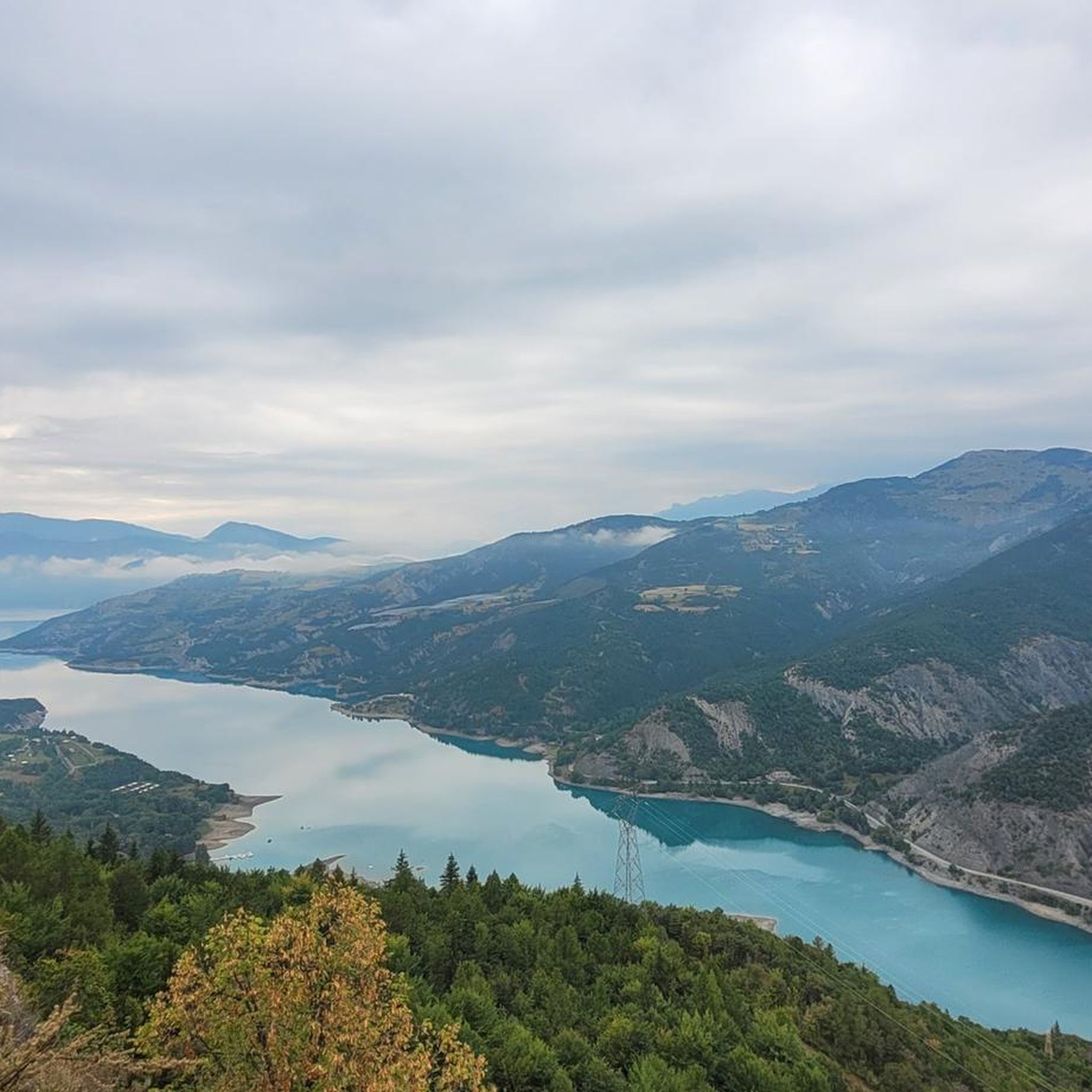
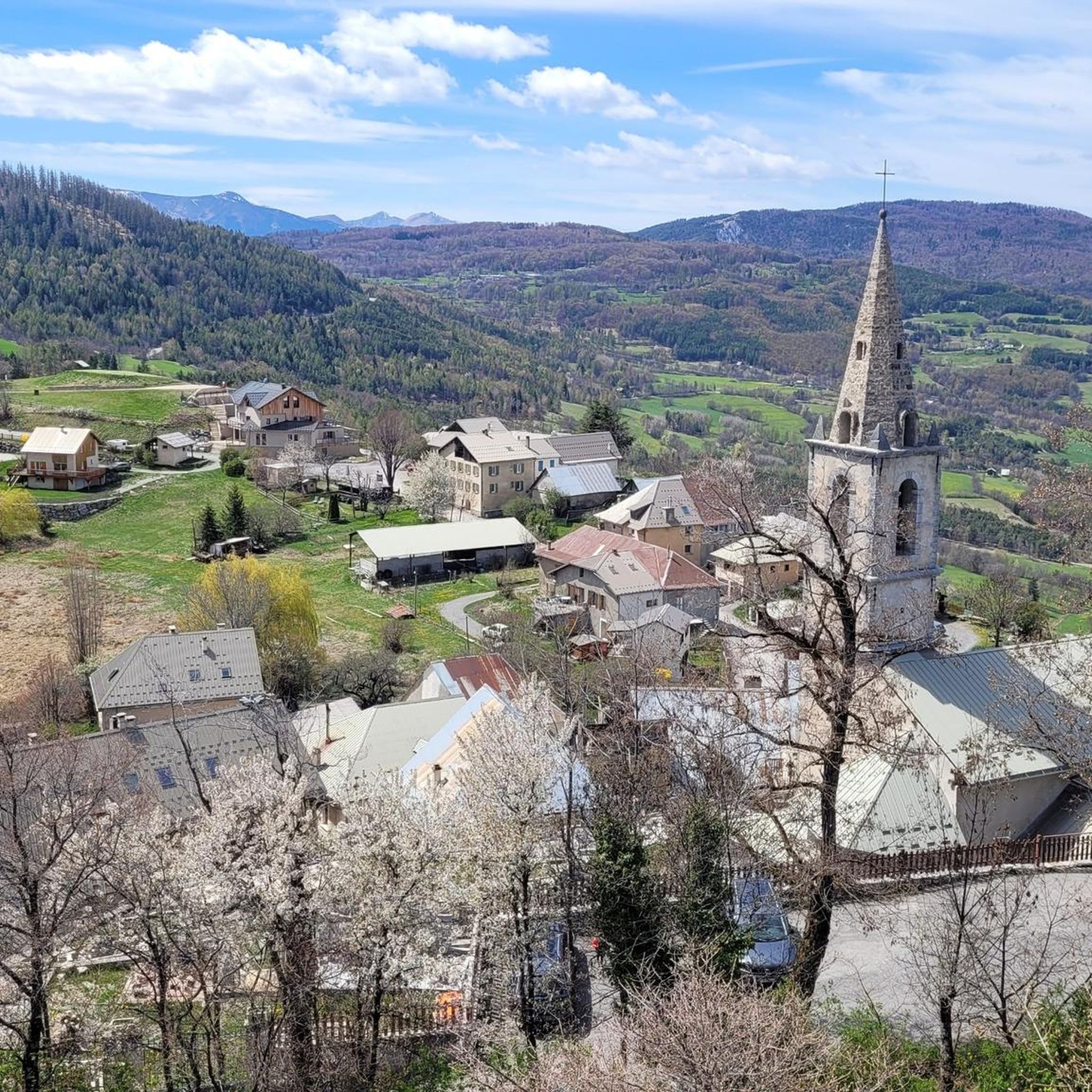
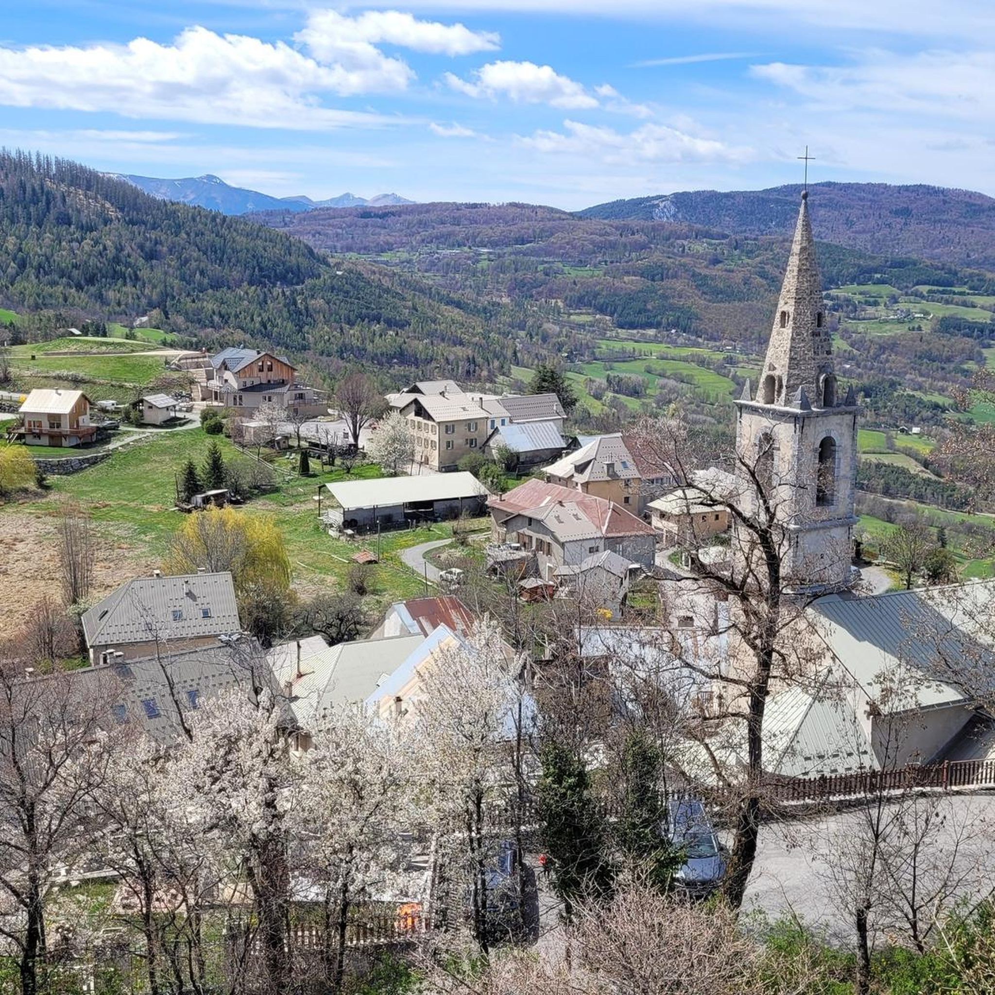
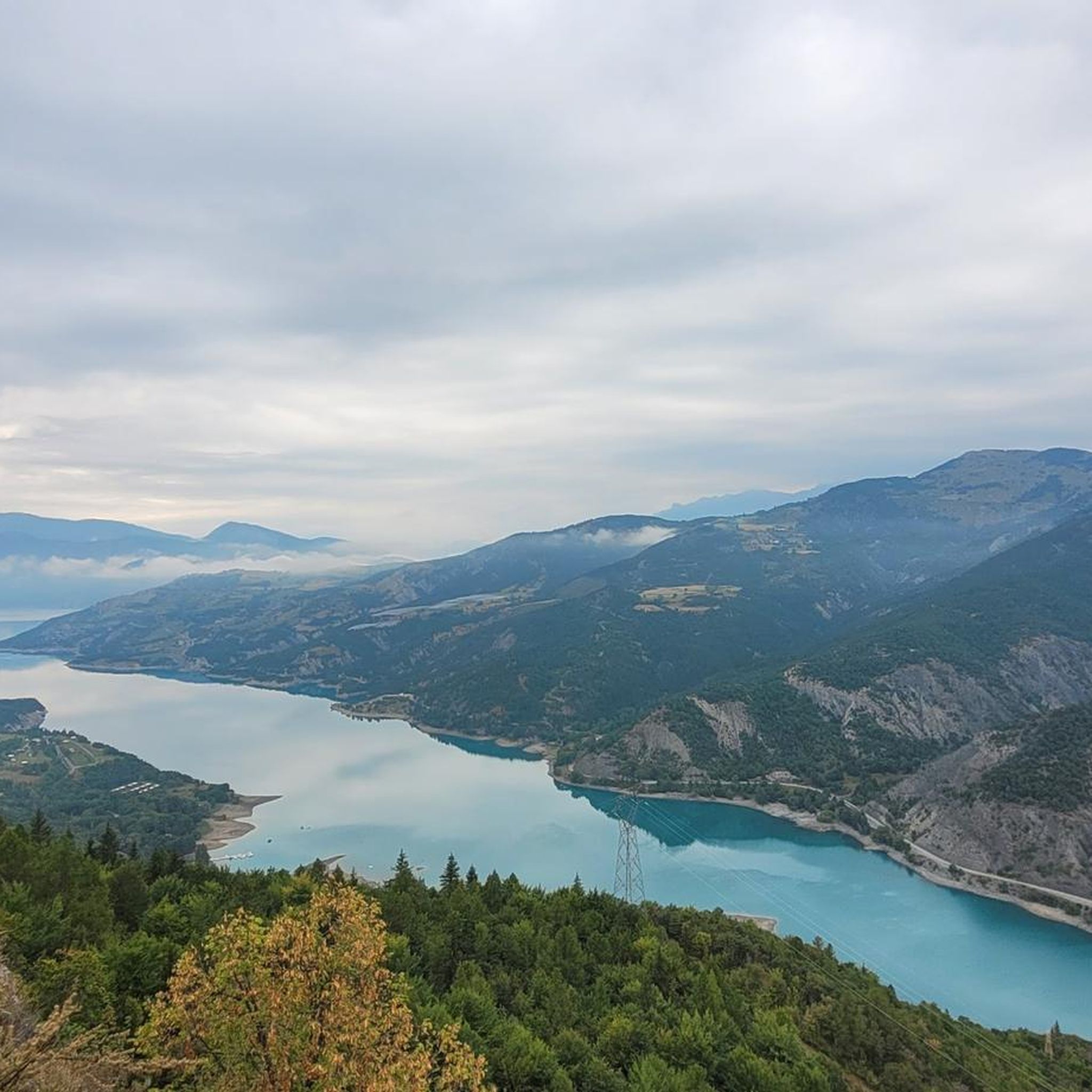
Hiking around Saint-Vincent-Les-Forts offers access to diverse landscapes in the Alpes-de-Haute-Provence region of France. The area is characterized by the expansive Lac de Serre-Ponçon, surrounding mountains like Morgon Peak, and the gateway to the Ubaye Valley. Trails often traverse woodlands, including larch forests, and provide views of the lake and various mountain passes.
Best hiking trails around Saint-Vincent-Les-Forts
- The most popular hiking route is Great view of the lake – Lac de Serre-Ponçon loop from Saint-Vincent-les-Forts, a 7.2 miles (11.6 km) trail that takes about 3 hours 45 minutes to complete. This route offers extensive views of Lac de Serre-Ponçon.
- Another top favourite among local hikers is Châtelard Battery – Fantastisch uitzichtspunt! loop from Saint-Vincent-les-Forts, a moderate 5.1 miles (8.1 km) path. This trail leads to a viewpoint with panoramic vistas of the surrounding area.
- Local hikers also love the Great view of the lake – Tower of the Hoardings loop from Saint-Vincent-les-Forts, a 1.5 miles (2.5 km) trail leading through varied terrain, often completed in about 42 minutes.
- Hiking around Saint-Vincent-Les-Forts is defined by the vast Lac de Serre-Ponçon, surrounding mountain peaks, and diverse forests. The network offers options for easy strolls, moderate excursions, and more challenging treks.
- The routes in Saint-Vincent-Les-Forts are highly rated by the komoot community with an average score of 4.5 stars from over 1000 reviews. More than 7000 hikers have used komoot to explore Saint-Vincent-Les-Forts's varied terrain.
Last updated: May 12, 2026
4.7
(31)
204
hikers
Moderate hike. Good fitness required. Easily-accessible paths. Suitable for all skill levels.
4.7
(33)
163
hikers
Moderate hike. Good fitness required. Easily-accessible paths. Suitable for all skill levels.

Sign up for free
4.9
(14)
71
hikers
Easy hike. Great for any fitness level. Easily-accessible paths. Suitable for all skill levels.
4.2
(9)
100
hikers
6.98km
02:07
240m
230m
Moderate hike. Good fitness required. Easily-accessible paths. Suitable for all skill levels.
4.4
(7)
51
hikers
Hard hike. Good fitness required. Sure-footedness, sturdy shoes and alpine experience required.
Get access to more routes and recommendations from other explorers.
Sign up for free
Already have an account?
Our route recommendations are based on thousands of hikes, rides, and runs completed by other people on komoot.
Start today with a free account
Your next adventure awaits.
Login or Signup

Tips from the Community

There are four tunnels, the smaller ones a few hundred meters long, the longest about 2.8 km! It was pitch black (yes, I had my bike lights on), wet, and dripping from the ceiling. I found it totally creepy and wouldn't go through it alone again.
0
0

In September with a strong water flow, it's magnificent. Not to be missed under any circumstances.
1
0

Beautiful place to stop and enjoy the view of the lake
1
0

Very interesting to watch for a while
0
0
Replica of the fort Unfortunately, we were unable to enter the fort itself (at the end of May).
0
0

The tip about the hiking poles was very helpful, because the last 150 meters to the waterfall are tough for inexperienced hikers. But the view is very beautiful. We were able to watch a group abseiling down the waterfall
1
0
Frequently Asked Questions
How many hiking trails are available around Saint-Vincent-Les-Forts?
There are over 30 hiking routes in the Saint-Vincent-Les-Forts area, catering to various skill levels. You'll find 6 easy trails, 17 moderate routes, and 7 more challenging options for experienced hikers.
Are there any easy, family-friendly hikes in Saint-Vincent-Les-Forts?
Yes, Saint-Vincent-Les-Forts offers several easy trails suitable for families. For instance, the Great view of the lake – Tower of the Hoardings loop is a 2.5 km (1.5 miles) easy route that can be completed in under an hour, offering splendid views of Lac de Serre-Ponçon.
Can I find circular hiking routes in the region?
Absolutely. Many trails around Saint-Vincent-Les-Forts are designed as loops. A popular moderate option is the Great view of the lake – Lac de Serre-Ponçon loop, which is 11.6 km (7.2 miles) and offers extensive lake views. Another great choice is the Châtelard Battery loop, a moderate 8.1 km (5.1 miles) path leading to a fantastic viewpoint.
What kind of viewpoints can I expect on hikes near Saint-Vincent-Les-Forts?
The region is renowned for its panoramic viewpoints, especially overlooking Lac de Serre-Ponçon. Trails often lead to stunning vistas, such as the one from the Châtelard Battery loop. For a truly magnificent 360-degree view, consider the ascent to Morgon Peak, which offers unparalleled perspectives of the lake and surrounding mountains.
Are there any hikes that feature waterfalls?
Yes, for those seeking a more challenging hike with a waterfall reward, the Costeplane Waterfalls – Ubaye bridge and gorge loop is a difficult 12.4 km (7.7 miles) route that takes you through the Ubaye gorge to the Costeplane Waterfalls.
What are some notable natural landmarks or attractions to see while hiking?
Beyond the stunning Lac de Serre-Ponçon, you can explore several natural and man-made landmarks. Hikers can visit the impressive Serre-Ponçon Dam, or traverse mountain passes like Col de Pontis, known for its scenic hairpin bends. The Savines Bridge on Lake Serre-Ponçon also offers picturesque views.
What do other hikers say about the trails in Saint-Vincent-Les-Forts?
The hiking trails in Saint-Vincent-Les-Forts are highly regarded by the komoot community, with an average rating of 4.5 stars from over 1000 reviews. Hikers frequently praise the diverse landscapes, the stunning views of Lac de Serre-Ponçon, and the variety of routes available for all fitness levels.
Are there any historical sites accessible via hiking trails?
Yes, the region has a rich history, and some trails incorporate historical elements. For example, the Châtelard Battery loop takes you to an old fortification, offering both historical interest and panoramic views.
What is the best time of year to go hiking in Saint-Vincent-Les-Forts?
The region is beautiful throughout the year, but spring and autumn are particularly popular. In spring, wildflowers bloom, and in autumn, the larch forests display vibrant colors, offering a different ambiance. Summer is ideal for combining hiking with water activities on Lac de Serre-Ponçon, while winter offers opportunities for snowshoeing, though some higher trails may be inaccessible.
Are there trails that offer views of Lac de Serre-Ponçon?
Many trails in Saint-Vincent-Les-Forts provide spectacular views of Lac de Serre-Ponçon. Routes like the Lac de Serre-Ponçon loop from Fort Saint-Vincent are specifically designed to showcase the lake's beauty, offering constant and breathtaking backdrops for your adventure.
Where can I find more information about outdoor activities in the wider region?
For broader information on sports and activities in the Montclar Saint-Vincent-Les-Forts area, you can visit the local tourism website: tourisme-alpes-haute-provence.com.
Most popular routes around Saint-Vincent-Les-Forts
Most popular attractions around Saint-Vincent-Les-Forts

Get inspired with the komoot mobile app


Explore more
Browse the best Hikes in other regions.
