Top 15 Mountain Passes around Crévoux
Mountain passes around Crévoux are located in the Parpaillon massif, offering high-altitude routes. The region features diverse landscapes, including forests and mountain pastures. These routes provide options for hiking, road cycling, and mountain biking. Crévoux presents a range of passes from historic climbs to technical descents.
Best mountain passes around Crévoux
- The most popular mountain passes is Col de Vars, a mountain pass that connects the Ubaye valley with the Embrunais. It is located at 2,108 meters and has…
Last updated: June 26, 2026
Col de Vars
Highlight • Mountain Pass
Translated by Google •
Tip by

Ascent of Col de Vars from Les Gleizolles
Highlight (Segment) • Climb
Translated by Google •
Tip by

Sign up now to discover places like this
Get recommendations on the best single tracks, peaks, & plenty of other exciting outdoor places.
Sign up for free
Parpaillon Tunnel
Highlight • Trail
Tip by

Risoul
Highlight • Viewpoint
Translated by Google •
Tip by

Col du Parpaillon
Highlight • Mountain Pass
Translated by Google •
Tip by
Sign up for free to discover even more mountain passes around Crévoux.
Sign up for free
Already have an account?
Start today with a free account
Your next adventure awaits.
Login or Signup

Tips from the Community

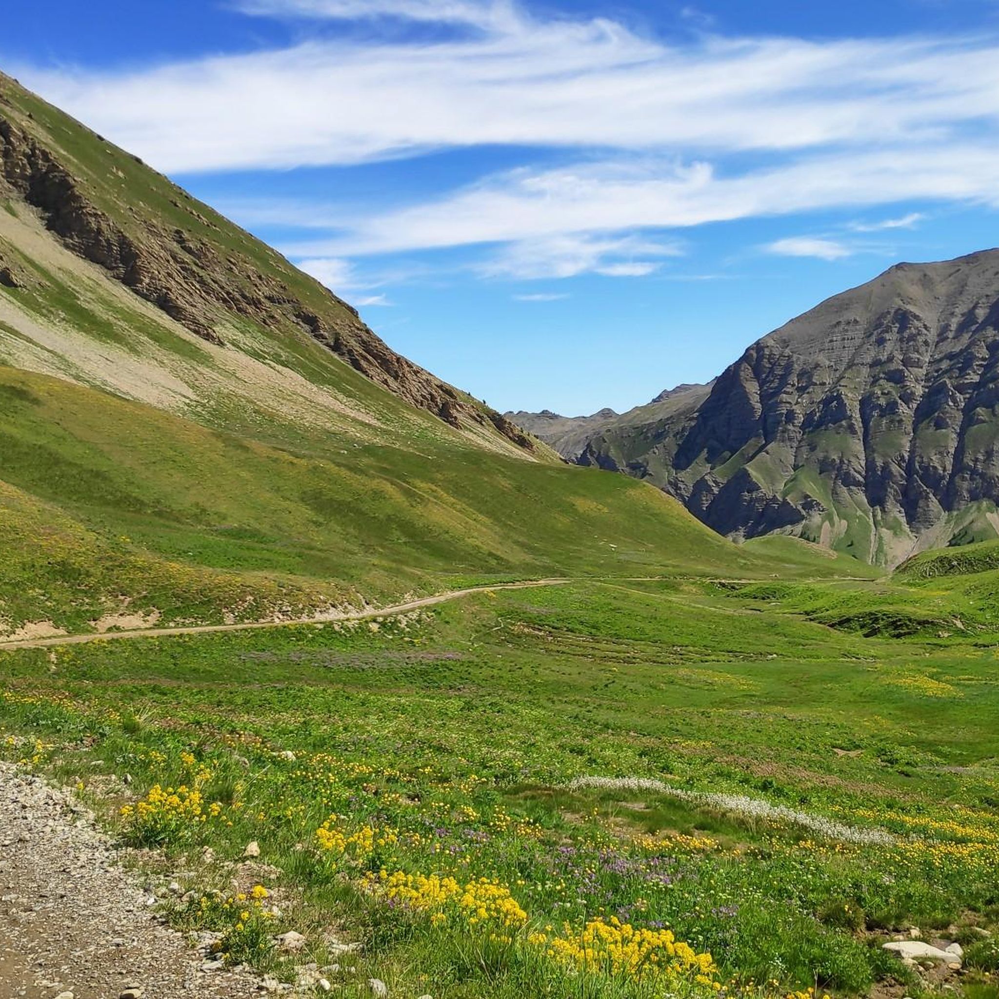
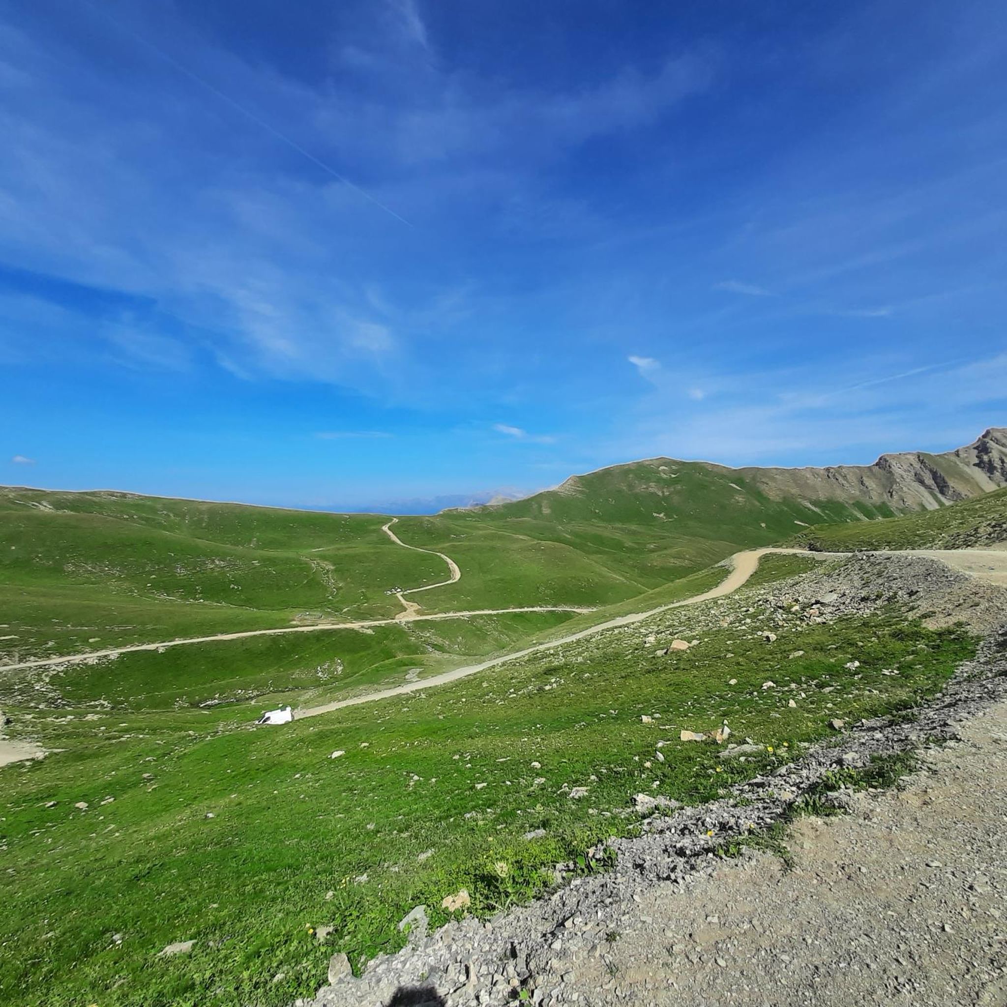
Here the asphalt road ends and you can no longer continue on the BDC.
18
0
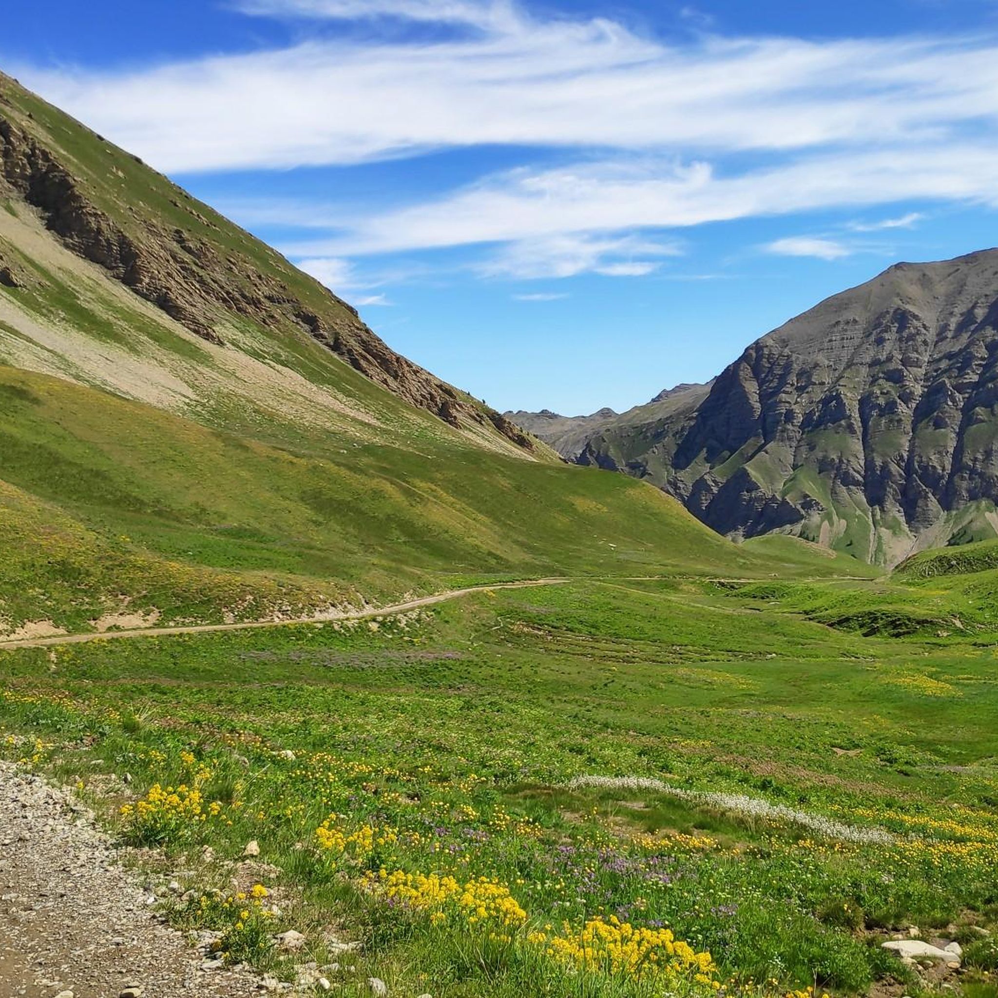
Once you reach the top of this long climb you can enjoy the beauty of Risoul and its landscapes.
4
0

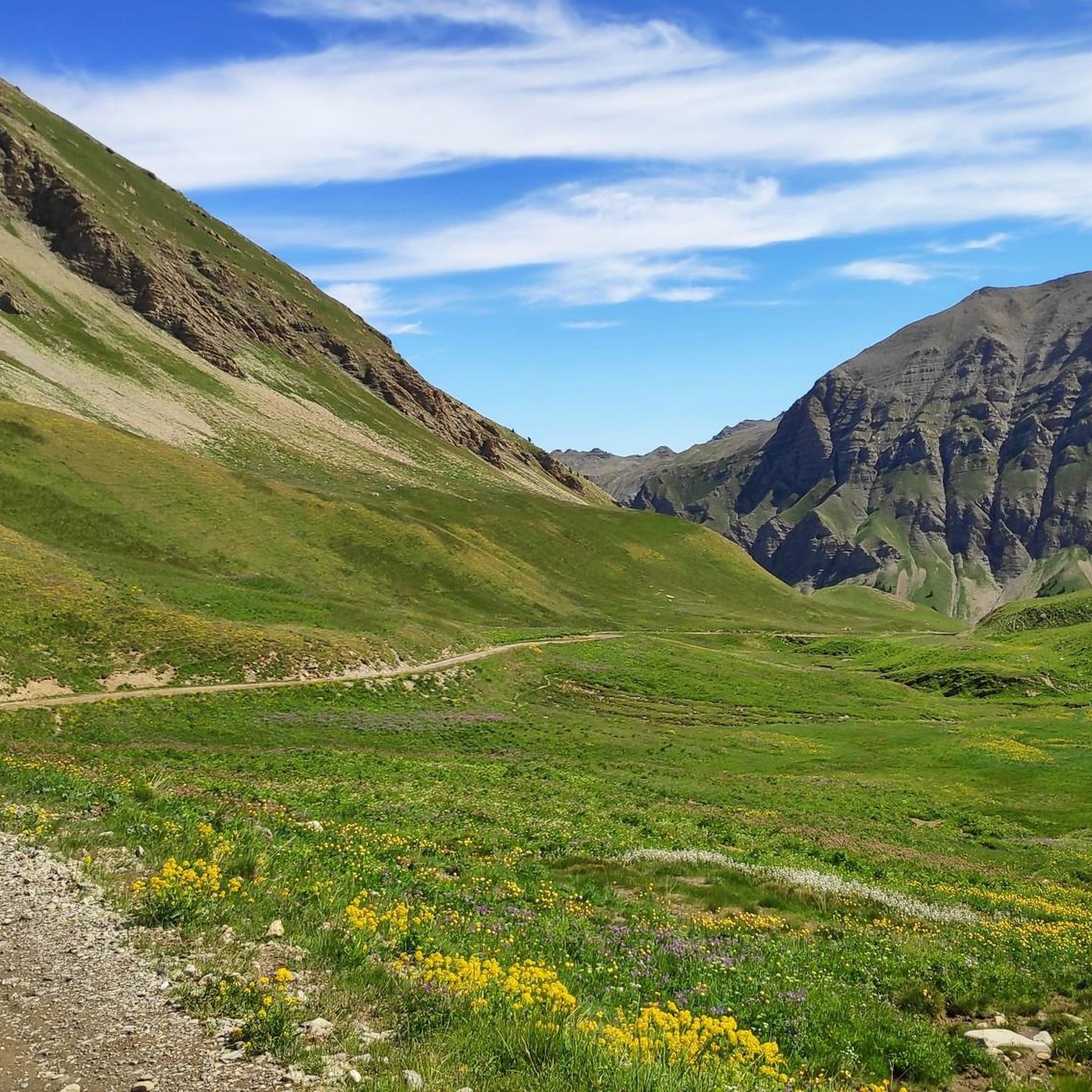
Tunnel is at the moment not passable. It collapsed in the middle and the portale on the side of les pras is has a lot of rocks in front of it. Wait till or if the maintance will be done.
8
0
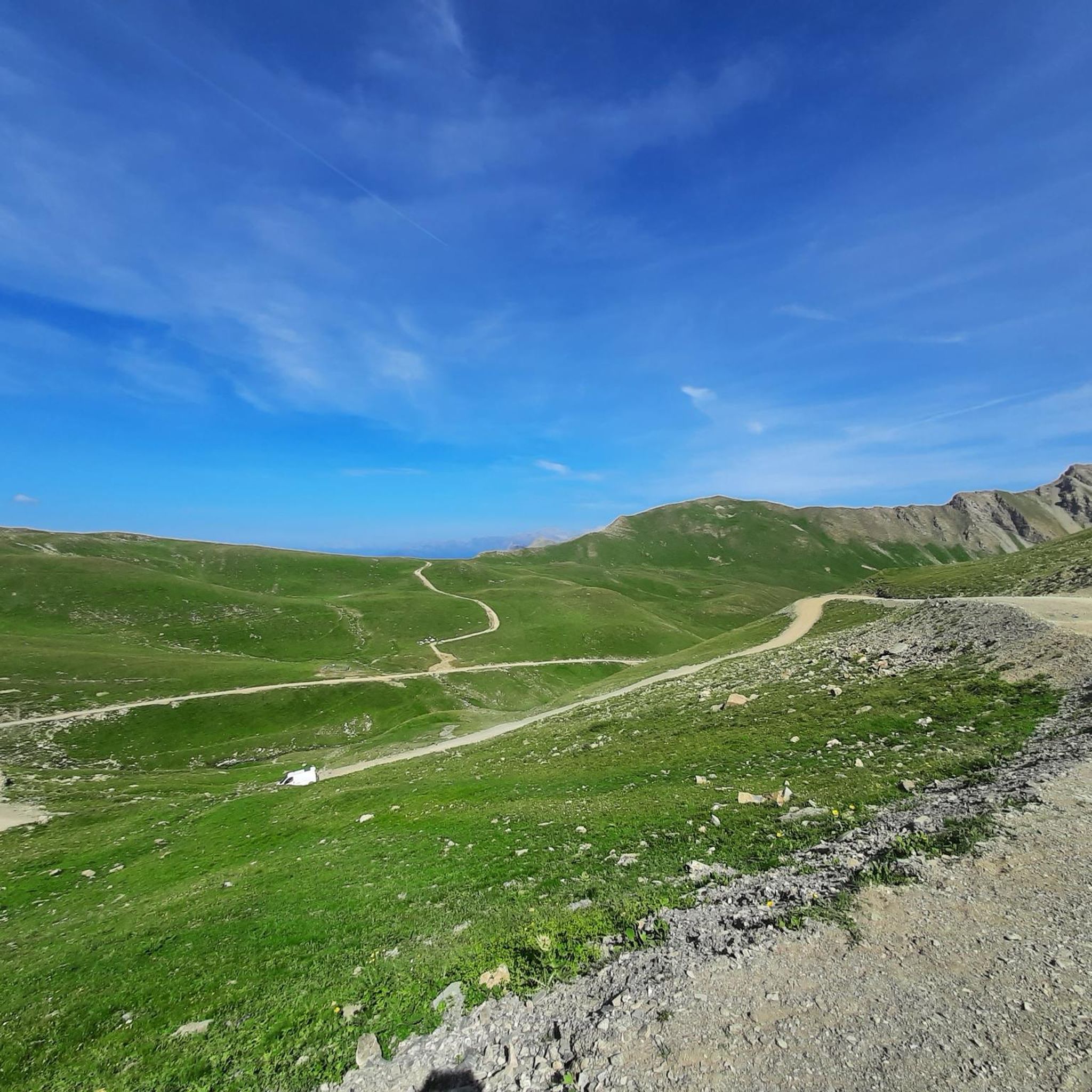
It reaches above 2000 m. Views are wonderful.
20
0
Nice climb. There are some sections with significant slopes, but the view is worth the effort.
18
1

Beautiful finish with an average of more than 8% over 2.5 km
0
0

Col du Parpaillon from Crevoux is a climb in the Serre Ponçon region. It has a length of 12 kilometers and an ascent of 989 vertical meters with an average gradient of 8.2%, which implies a difficulty level of 1,210. The top of the ascent is located at 2,628 meters above sea level.
1
1

The Vars pass is located at 2,108 meters and connects the Ubaye valley with the Embrunais. The Col de Vars is a typical passage of the Tour de France, crossed already 35 times since 1947.
4
1
Frequently Asked Questions
What are some challenging mountain passes for experienced cyclists and mountain bikers around Crévoux?
For a significant sporting challenge, the Parpaillon Trail leads to the historic Parpaillon Tunnel at 2,637 meters, offering 1,000 meters of elevation gain over 15 kilometers. It's suitable for gravel bikes, mountain bikes, and electric bikes. Experienced mountain bikers might prefer Col Girabeau for its sustained and technical descent into the Grand Vallon des Orres, followed by a scenic return through the Méale forest. Road cyclists can tackle the Ascent of Crévoux from Embrun, climbing to 1,900 meters with sections up to 10% gradient, or the steep Col de Pontis in the nearby Serre Ponçon region.
Are there any historical mountain passes in the Crévoux region?
Yes, the Parpaillon Tunnel is steeped in history. Constructed in the late 19th century for military mobility and transportation, this unpaved tunnel is over 400 meters long and was a monumental engineering feat for its time. It connects Crévoux to the historic Parpaillon tunnel at an altitude of 2,637 meters.
What kind of panoramic views can I expect from the mountain passes around Crévoux?
Many passes offer breathtaking vistas. From Col du Crachet and Pointe de l'Eyssina, you can enjoy exceptional panoramic views of the Haute-Ubaye, Queyras, and the Écrins massif. The Col de Vars, at 2,108 meters, also provides wonderful views. Additionally, the Risoul viewpoint offers stunning views of the valleys and mountains.
What are some recommended hiking routes near the mountain passes of Crévoux?
For hikers, a popular option is the round-trip to Lake Crachet from La Chalp, which takes about 3.5 hours. More athletic individuals can continue from Lake Crachet towards Col du Crachet (2,631 m) and Pointe de l'Eyssina (2,837 m) for magnificent panoramas. For a wild, high-altitude experience, seasoned hikers can venture to Col de Lalatcha and Lake Lalatcha, known for its 'lunar scenery.' You can find more hiking options in the Mountain Hikes around Crévoux guide.
Are there any family-friendly mountain passes or trails around Crévoux?
While many high-altitude routes in Crévoux require experience, the hike to Lake Crachet is a more accessible option. This small, crystal-clear lake is nestled in a pristine valley at over 2,200 meters, and the round-trip from La Chalp is approximately 3.5 hours, making it a rewarding experience for families seeking alpine scenery.
What is the best time of year to visit the mountain passes around Crévoux?
The best time to visit is typically during the warmer months, from late spring to early autumn, when the passes are generally free of snow and ice. However, it's important to note that even in summer, conditions at high altitudes can be unpredictable. For instance, the Parpaillon Tunnel can still have ice well into July, and the north side can be frigidly cold. Always check local conditions before heading out.
What kind of cycling routes are available near Crévoux's mountain passes?
The region offers diverse cycling experiences. Road cyclists can tackle the classic Ascent of Crévoux or the challenging Ascent of Col de Vars from Les Gleizolles. For mountain bikers and gravel cyclists, the Parpaillon Trail leading to the Parpaillon Tunnel is an iconic route. You can explore more cycling tours in the Cycling around Crévoux guide.
What makes the Parpaillon Tunnel a unique experience?
The Parpaillon Tunnel is unique due to its historical significance as a military construction and its challenging, unpaved nature. It's over 400 meters long and can be pitch dark and full of puddles, pits, and even ice shelves, even in summer. It offers a truly adventurous and historically rich experience for those prepared with lighting and appropriate bikes.
Are there options for trail running near the mountain passes?
Yes, the Crévoux area provides several options for trail running. You can find routes like the 'Lac du Crachet loop from Crévoux' or the 'Cascade de Razis loop from Crévoux.' These trails offer varying difficulties and scenic views. For more details and routes, check out the Running Trails around Crévoux guide.
What should I know about accessibility and difficulty for the high-altitude passes?
Many of the wild, high-altitude routes in Crévoux, such as those leading to Col du Crachet, Pointe de l'Eyssina, and Col de Lalatcha, are not marked and require significant experience and autonomy. These are reserved for seasoned hikers comfortable with very long walks and venturing off-trail. The Parpaillon Tunnel and Col du Parpaillon also present challenging conditions, often requiring gravel or mountain bikes beyond the paved sections.
What are some of the natural features I can see when exploring the mountain passes?
The region boasts diverse landscapes, from forests and mountain pastures to unique 'lunar landscapes' found near the Parpaillon Trail and Lake Lalatcha. You'll encounter crystal-clear alpine lakes like Lake Crachet, and the passes often provide views of vast mountain ranges and valleys. The area around Risoul is also known for its beautiful forest and mountain scenery.
Most popular attractions around Crévoux

Get inspired with the komoot mobile app


Explore more
See even more epic mountain passes by checking out these guides around Crévoux:
