The best mountain hikes around Crévoux
4.8
(9)
27
hikers
2
hikes
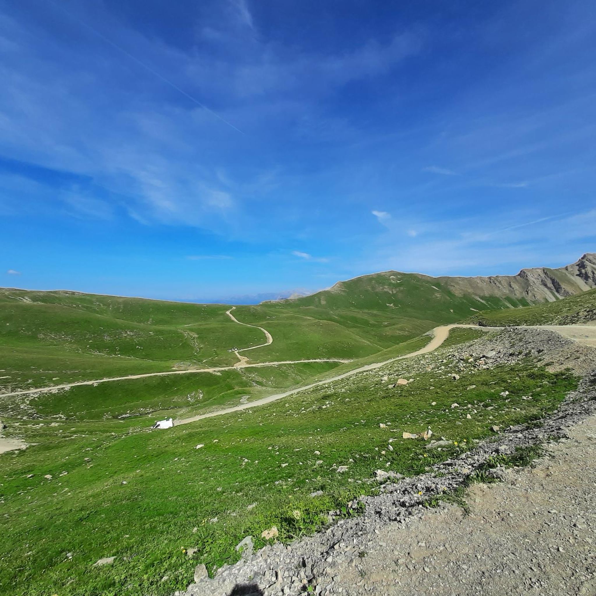
Mountaineering routes around Crévoux are situated within the rugged Parpaillon massif in the Hautes-Alpes, offering a preserved natural environment for high-altitude pursuits. The region features peaks that approach 3000 meters, providing challenging ascents and extensive views. Landscapes include expansive larch forests, serene mountain lakes like Lac de Sainte-Marguerite, and a diverse alpine terrain. This area is characterized by its wild, high-mountain setting, suitable for experienced mountaineers.
Best mountaineering routes around Crévoux
- The most popular mountaineering route is Mountaineering loop from…
Last updated: July 9, 2026
5.0
(7)
14
hikers
11.3km
04:19
590m
590m
Moderate mountaineering route. Good fitness required. Mostly accessible paths. Sure-footedness required.
4.5
(2)
8
hikers
9.31km
04:16
760m
770m
Moderate mountaineering route. Good fitness required. Mostly accessible paths. Sure-footedness required.

Sign up for free
5
hikers
20.9km
09:03
1,340m
1,340m
Hard mountaineering route. Very good fitness required. Sure-footedness, sturdy shoes and alpine experience required.
Our route recommendations are based on thousands of hikes, rides, and runs completed by other people on komoot.
Start today with a free account
Your next adventure awaits.
Login or Signup
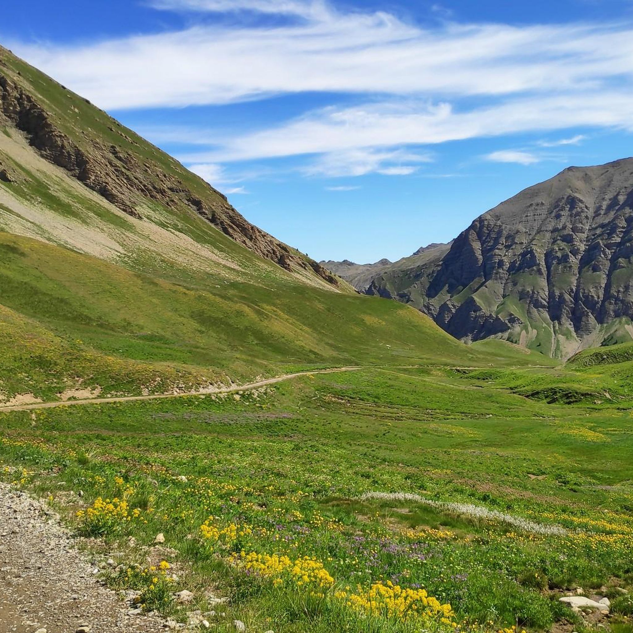
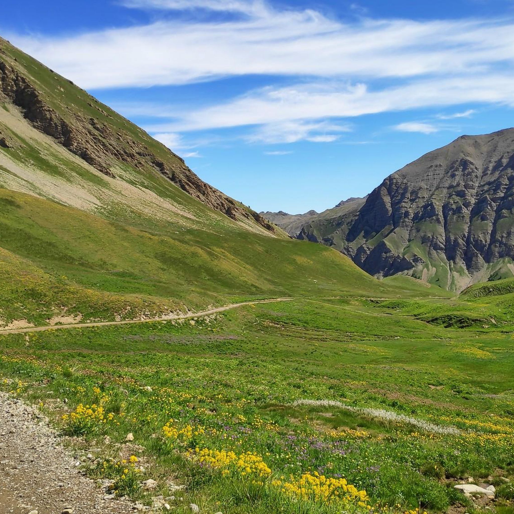

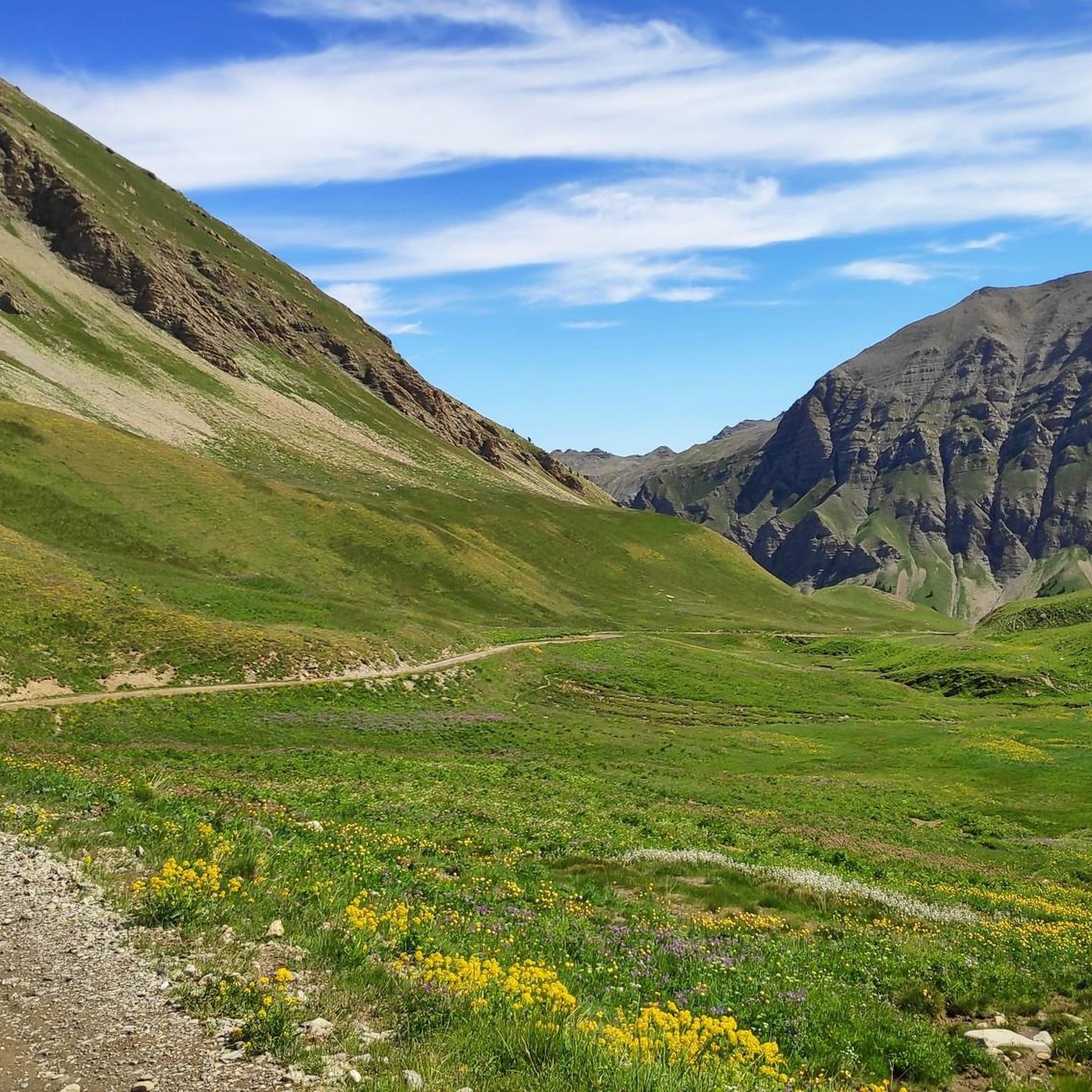
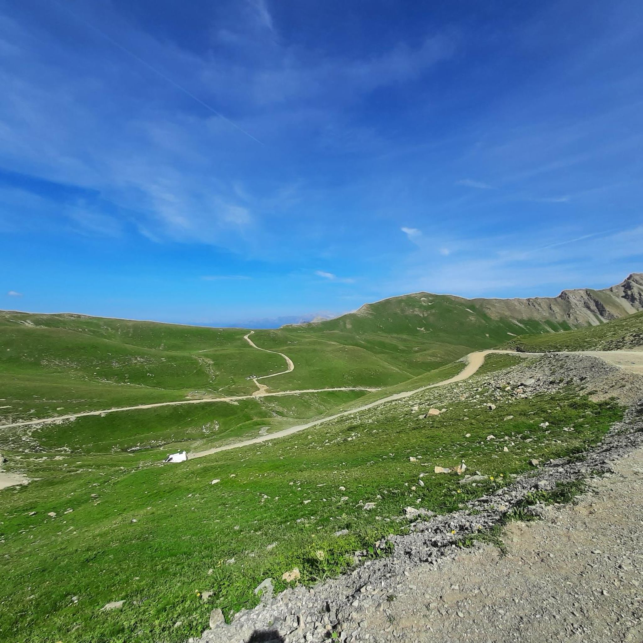
Tips from the Community

This varied hike allows you to discover a traditional mountain village (Fouillouse), the pretty refuge of Chambeyron, and finally the magnificent Lac des Neuf Couleurs, nestled at the foot of the Aiguille de Chambeyron which is the highest point in the Alpes-de-Haute-Provence department. The topo and photos at this address: https://treksrandos.fr/alpes/alpes-de-haute-provence-04/chambeyron/lac-des-neuf-couleurs-2841-m/
2
0

Unfortunately, swimming is not allowed in the lake, it is prohibited
1
2
If you go there following "Waze", from Embrun, once you have taken the road which goes up (route de Caléyère), stay on the road and do not follow the Waze directions which send you onto unpaved private roads (which do not do not shorten the journey)
1
0
12 August 2023 the water source near the Barenghi bivouac is dry
6
0

Small comfortable bivouac quite popular in season, with hikers who come to enjoy the region or climbers who tackle the south face of the Aiguilles. During my visit, it was neither very tidy nor very clean, unfortunately.
5
0

Very nice hike that leads to the foot of the high peaks of the Ubaye massif (Brec and Aiguille de Chambeyron), and to the Italian border.
1
0
At the exit of Fouillouse, take the marked path starting on the left towards the Chambeyron refuge and the lake of nine colors. This part climbs quite steeply for a long time (+500m vertical drop) and is the most difficult part of the hike. Always follow the path to the shelter. Arriving at the Chambeyron refuge, we head towards the lake of nine colors. At the lake of nine colors, go out the same way towards the Chambeyron relay towards the long lake. On the long lake, fork towards Fouillouse via the Coletta pass Go down the Coletta pass, past a shepherd's hut and down into the valley. Once in the valley, turn right towards Fouillouse.
3
0

The Lac des neufs Couleurs is magnificent and indeed offers multiple reflections and nuances if you linger a little longer. Just a point on this hike.
3
0
Frequently Asked Questions
How many mountaineering routes are available around Crévoux?
There are currently 4 mountaineering routes documented around Crévoux on komoot, offering a range of experiences from moderate to difficult. These routes are highly rated by the komoot community, with an average score of 4.9 stars.
Are there any moderate mountaineering routes suitable for those looking for a less strenuous challenge?
Yes, Crévoux offers two moderate mountaineering routes. One popular option is the Lac de Sainte-Marguerite loop from Les Orres - Pra Paisset, which is 6.5 miles (10.4 km) long and leads to a picturesque mountain lake. Another moderate route is the Lac de l'Hivernet loop from Parking de la Forêt, covering 5.7 miles (9.2 km) with significant elevation gain.
What kind of natural features can I expect to see along the mountaineering routes in Crévoux?
The Crévoux region, nestled in the Parpaillon massif, is rich in natural beauty. You'll encounter expansive larch forests, considered among the most beautiful in the Southern Alps, and serene mountain lakes. Notable lakes include Lake Sainte-Marguerite, and higher up, Lake Crachet. The landscape transitions to wild, almost lunar terrain at higher altitudes, offering majestic views over the Écrins, Queyras, and Haute Ubaye massifs.
Are there any circular mountaineering routes in Crévoux?
Yes, all the mountaineering routes listed for Crévoux are circular. For example, you can explore the Mountaineering loop from Parking de la Forêt, a challenging 7.3-mile (11.8 km) route, or the Mountaineering loop from Embrun, which is a longer 14.6-mile (23.6 km) journey through varied high-mountain landscapes.
What are some of the challenging mountaineering routes in the Crévoux area?
For experienced mountaineers seeking a challenge, Crévoux offers routes with significant elevation gain and alpine terrain. The Mountaineering loop from Parking de la Forêt is a difficult 7.3-mile (11.8 km) trail with over 900 meters of ascent. Another demanding option is the Lac de la Gypière loop from Fouillouse, a 11.6-mile (18.7 km) difficult route with over 1000 meters of climbing.
What do other mountaineers enjoy most about the routes in Crévoux?
The mountaineering routes in Crévoux are highly rated by the komoot community, with an average score of 4.9 stars from more than 10 reviews. Mountaineers often praise the region's preserved natural environment, the challenging ascents to peaks flirting with 3000 meters, and the stunning panoramic views of the Écrins National Park and Lake Serre-Ponçon from higher elevations.
Are there any specific landmarks or viewpoints worth visiting near the mountaineering trails?
Absolutely. Beyond the natural beauty, you can find several points of interest. The historic Parpaillon Tunnel, a military tunnel at 2600m, offers a unique historical route and magnificent high-altitude landscapes. For breathtaking vistas, consider reaching Mount Guillaume, which provides a 200° view of Lake Serre-Ponçon. The Homme de Pierre Viewpoint is another excellent spot for panoramic views.
What is the best time of year for mountaineering in Crévoux?
The summer season is generally the best time for mountaineering in Crévoux, when trails are clear of snow and weather conditions are more stable. However, the region's high-altitude environment means conditions can change rapidly, so always be prepared for varying weather. Some areas may still hold snow into early summer.
Are there any mountain huts or refuges available along the routes for breaks or overnight stays?
Yes, the Crévoux area has several huts and refuges that can serve as resting points or for overnight stays. You might come across the Basse Rua Refuge, the Refuge de la Pare, or the Napoleon Refuge. These can be valuable resources for longer mountaineering trips.
Is Crévoux suitable for family-friendly mountaineering or hiking?
While the mountaineering routes described here are generally for experienced individuals due to their difficulty and elevation, Crévoux does offer other outdoor activities suitable for families. The region has a variety of hiking trails, some of which are easier and pass through forests and streams. For example, Lac de Sainte-Marguerite is mentioned as suitable for family hikes in the broader region.
What are the typical elevations encountered on mountaineering routes in Crévoux?
Mountaineering routes in Crévoux often involve significant elevation changes, with peaks flirting with 3000 meters. For instance, the Mountaineering loop from Embrun involves nearly 1400 meters of ascent. Even moderate routes like the Lac de Sainte-Marguerite loop still feature over 580 meters of climbing, ensuring a true alpine experience.
Most popular attractions around Crévoux

Get inspired with the komoot mobile app


Explore more
Browse the best Mountain Hikes & Routes in other regions.
