The best running trails around Sainte-Croix-Vallée-Française
5.0
(4)
282
runners
35
runs
Jogging around Sainte-Croix-Vallée-Française offers routes through the varied terrain of the Cévennes National Park. The landscape is characterized by its hills, dense forests, and river valleys, providing a natural setting for running. This region presents a range of challenges, from gentler paths to more demanding ascents.
Best jogging routes around Sainte-Croix-Vallée-Française
- The most popular jogging route is Roc de Galta – trail loop starting from Serre de la Can – Cévennes National Park, a 3.5 miles (5.6 km) trail…
Last updated: July 8, 2026
8
runners
Hard run. Good fitness required. Sure-footedness, sturdy shoes and alpine experience required.
5
runners
16.3km
02:03
370m
370m
Jog the difficult 10.1-mile Bézuc Trail in Cévennes National Park, gaining 1228 feet with views towards La Can de l’Hospitalet.

Sign up for free
5.0
(2)
39
runners
11.0km
01:20
220m
220m
Hard run. Good fitness required. Sure-footedness, sturdy shoes and alpine experience required.
24
runners
14.5km
01:47
420m
420m
Hard run. Very good fitness required. Mostly paved surfaces. Suitable for all skill levels.
16
runners
10.6km
01:31
490m
490m
Hard run. Very good fitness required. Mostly paved surfaces. Suitable for all skill levels.
Get access to more routes and recommendations from other explorers.
Sign up for free
Already have an account?
Our route recommendations are based on thousands of hikes, rides, and runs completed by other people on komoot.
Start today with a free account
Your next adventure awaits.
Login or Signup

Tips from the Community


This village which is in the heart of the Cévennes national park is the ideal place to take a break. The fountain offers you good spring water, come and drink from it before walking along the main street of the village. The landscapes surrounding the town well represent the wild beauty of this Cévennes country.
0
0

Nice path allowing you to admire the Cévennes while climbing towards the Col de Tartabisac (at an altitude of 843m).
0
0
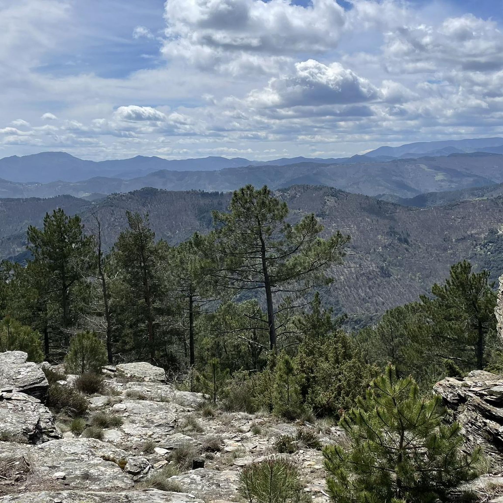
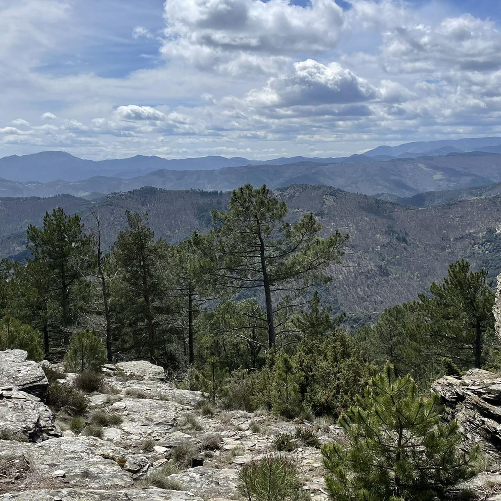
The Roc de Galta offers magnificent views of the Cévennes, from Mont Aigoual in the southwest to Mont Lozère in the north.
0
0
The Can de l'Hospitalet is a plateau separated from the Causse Méjean by the Tarnon. It offers magnificent views of the Cévennes. Its highest point, the Serre de Montgros, culminates at an altitude of 1,111m.
0
0
This village which is in the heart of the Cévennes national park is the ideal place to take a break. The fountain offers you good spring water, come and drink there before walking down the main street of the village. The landscapes that surround the town represent the wild beauty of this Cévennes country.
1
0
The Chemin de Castellas takes you directly to the Trois Demoiselles natural site. It is a rock formation which dominates the village of Barres-des-Cévennes.
1
0

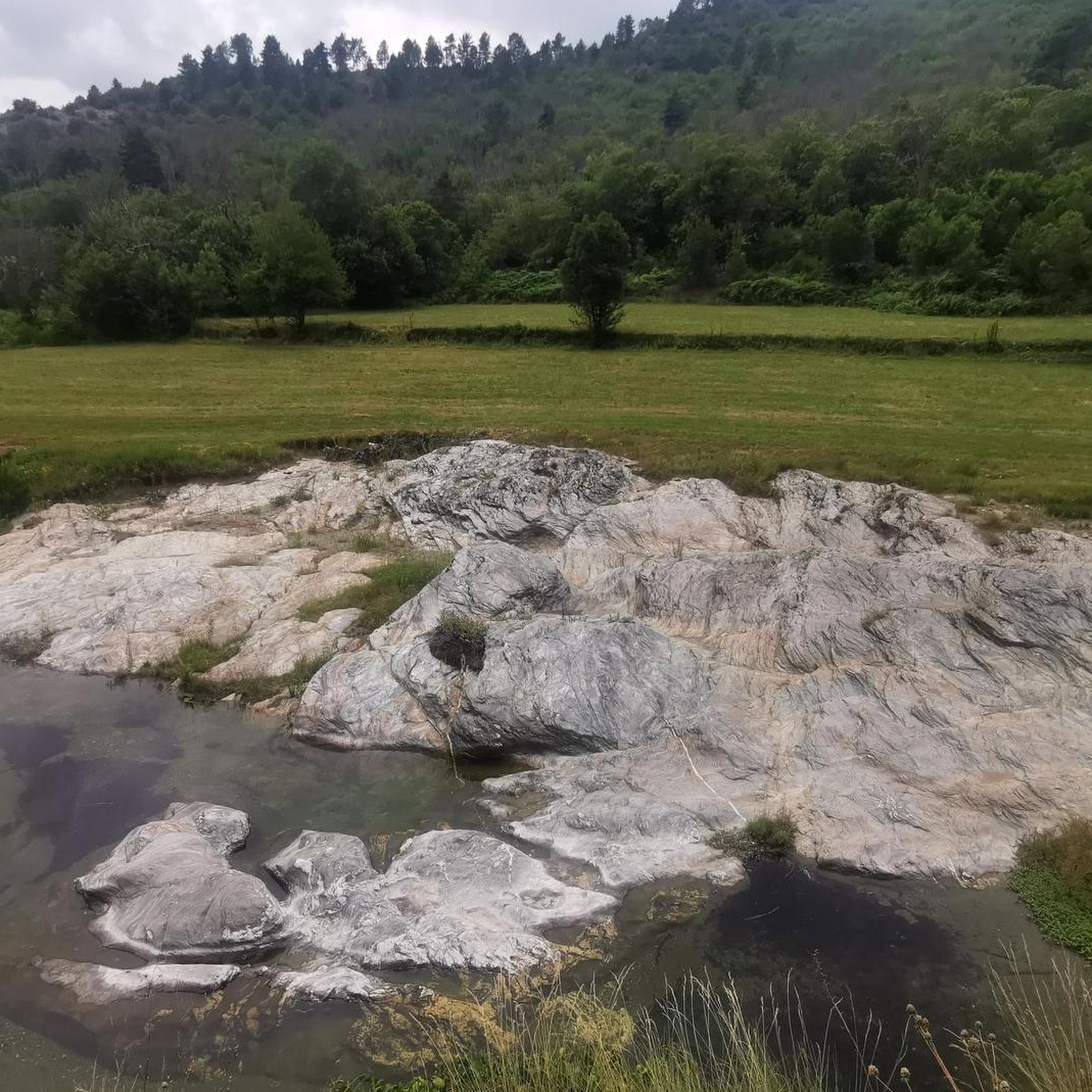
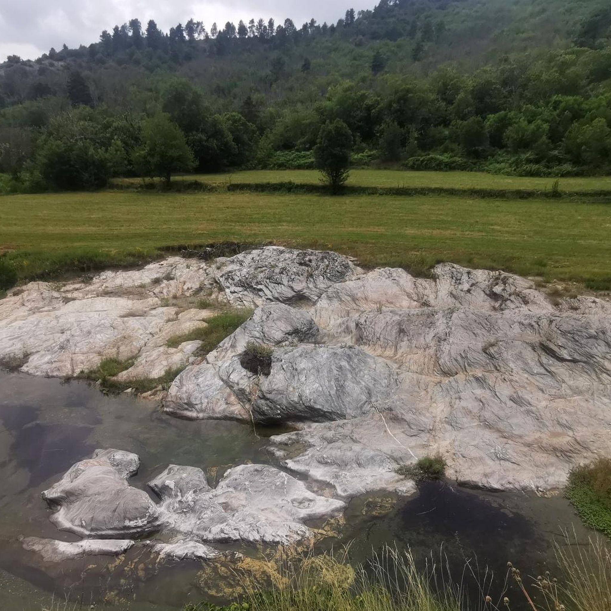
A small natural monument above Barres de Cévennes
0
0
Frequently Asked Questions
How many running routes are available in Sainte-Croix-Vallée-Française?
There are over 30 dedicated running routes around Sainte-Croix-Vallée-Française. The region offers a diverse network of trails through the Cévennes National Park, catering to various fitness levels.
Are there any easy jogging routes for beginners in Sainte-Croix-Vallée-Française?
While many routes in Sainte-Croix-Vallée-Française are challenging, there is at least one easy route available. The majority of the trails are rated moderate to difficult, featuring significant elevation changes typical of the Cévennes landscape.
Can I find circular running routes in the Sainte-Croix-Vallée-Française area?
Yes, several circular running routes are available. For example, the Roc de Galta – trail loop starting from Serre de la Can – Cévennes National Park is a difficult 5.6 km loop. Another option is the Col de l'Espinas – Château de Monteils loop from Les Plantiers, which is a longer, difficult 14.2 km circuit.
What kind of distances can I expect from the running trails here?
Running trails in Sainte-Croix-Vallée-Française vary significantly in length. You can find shorter routes like the 5.6 km Roc de Galta trail loop, up to much longer and more demanding trails such as the 30.7 km Pont de Soucy loop from L'Estréchure.
Are there any notable landmarks or sights along the running routes in Sainte-Croix-Vallée-Française?
While running, you can encounter various points of interest. Some routes offer a Beautiful view of the Cévennes, or pass through areas near significant mountain passes like Asclier Pass or Col de Saint-Pierre. You might also pass through villages like Saint-André-de-Valborgne.
What do other runners say about the trails in Sainte-Croix-Vallée-Française?
The running routes in Sainte-Croix-Vallée-Française are highly rated by the komoot community, with an average score of 4.5 stars. Runners often praise the challenging hills, extensive forests, and scenic river valleys that define the region's diverse terrain.
Are the running trails in Sainte-Croix-Vallée-Française suitable for families?
The region's trails are generally characterized by challenging hills and varied terrain within the Cévennes National Park. While there is one easy route, most are moderate to difficult, which might be demanding for younger children or families seeking very gentle paths. It's best to check individual route details for suitability.
Can I bring my dog on the jogging trails in Sainte-Croix-Vallée-Française?
Sainte-Croix-Vallée-Française is located within the Cévennes National Park. Generally, dogs are permitted on trails within the peripheral zone of national parks, but specific rules may apply in the core zone or protected areas. It's advisable to check local regulations for the specific trail you plan to use to ensure your dog is welcome and to keep them on a leash.
What is the best time of year for running in Sainte-Croix-Vallée-Française?
The Cévennes region offers distinct experiences throughout the year. Spring and autumn provide pleasant temperatures and vibrant scenery, ideal for running. Summers can be warm, making early morning or late afternoon runs preferable. Winters can bring colder conditions and potentially snow at higher elevations, adding a different challenge for experienced runners.
Are there any long-distance running options in Sainte-Croix-Vallée-Française?
Yes, for those seeking longer runs, routes like the Pont de Soucy loop from L'Estréchure offer a significant challenge, covering over 30 km with substantial elevation changes. The Bézuc Trail is another difficult option, stretching over 16 km.
What kind of terrain can I expect on the running routes?
The terrain around Sainte-Croix-Vallée-Française is varied, typical of the Cévennes National Park. You can expect a mix of challenging hills, dense forests, and scenic river valleys. Trails often feature significant elevation changes, providing a good workout and diverse natural scenery.
Most popular routes around Sainte-Croix-Vallée-Française
Most popular attractions around Sainte-Croix-Vallée-Française

Get inspired with the komoot mobile app


Explore more
Browse the best Running Trails & Routes in other regions.
