The best road cycling routes around Sainte-Croix-Vallée-Française
4.5
(71)
1,674
riders
53
rides
Road cycling routes around Sainte-Croix-Vallée-Française navigate the varied terrain of the Cévennes region, characterized by its deep valleys, winding river gorges, and forested hills. The area presents numerous ascents and descents, offering challenging road bike climbs and scenic viewpoints. This landscape provides a diverse range of routes suitable for different fitness levels, from moderate rides through rural settings to more demanding mountain passes.
Best road cycling routes around Sainte-Croix-Vallée-Française
- The most popular road cycling route is Gorges Loop, a…
Last updated: July 9, 2026
4.0
(2)
16
riders
60.9km
03:32
1,510m
1,510m
Cycle the challenging 37.8-mile Le Col du Marquaires route in the Cevennes National Park, gaining 4950 feet through wild landscapes.
5.0
(3)
155
riders
53.4km
02:51
1,010m
1,010m
Hard road ride. Very good fitness required. Some segments of this route may be unpaved and difficult to ride.

Sign up for free
4.5
(2)
111
riders
Hard road ride. Very good fitness required. Mostly well-paved surfaces and easy to ride.
37
riders
97.9km
05:24
2,040m
2,040m
Hard road ride. Very good fitness required. Some segments of this route may be unpaved and difficult to ride.
29
riders
Hard road ride. Very good fitness required. Mostly well-paved surfaces and easy to ride.
Get access to more routes and recommendations from other explorers.
Sign up for free
Already have an account?
Our route recommendations are based on thousands of hikes, rides, and runs completed by other people on komoot.
Start today with a free account
Your next adventure awaits.
Login or Signup

Tips from the Community

This small sacred monument, too, is a symbol of remembrance of the crucifixion and resurrection of Jesus Christ. However, its design is very unique and unlike the usual crosses that often crown mountain peaks. At the end of the triangular base plate, a small wall appears to have been built, its sides terminating in the shape of a stepped gable. In the center is a V-shaped cutout, the ends of which extend significantly beyond the height of the small wall. From this V emerges the longitudinal beam of the cross, which, however, has two crossbeams. This double crossbeam, as well as the lack of a corpus, is typical of the so-called "Lorraine Cross."
3
0


to visit Maison Rouge
0
0

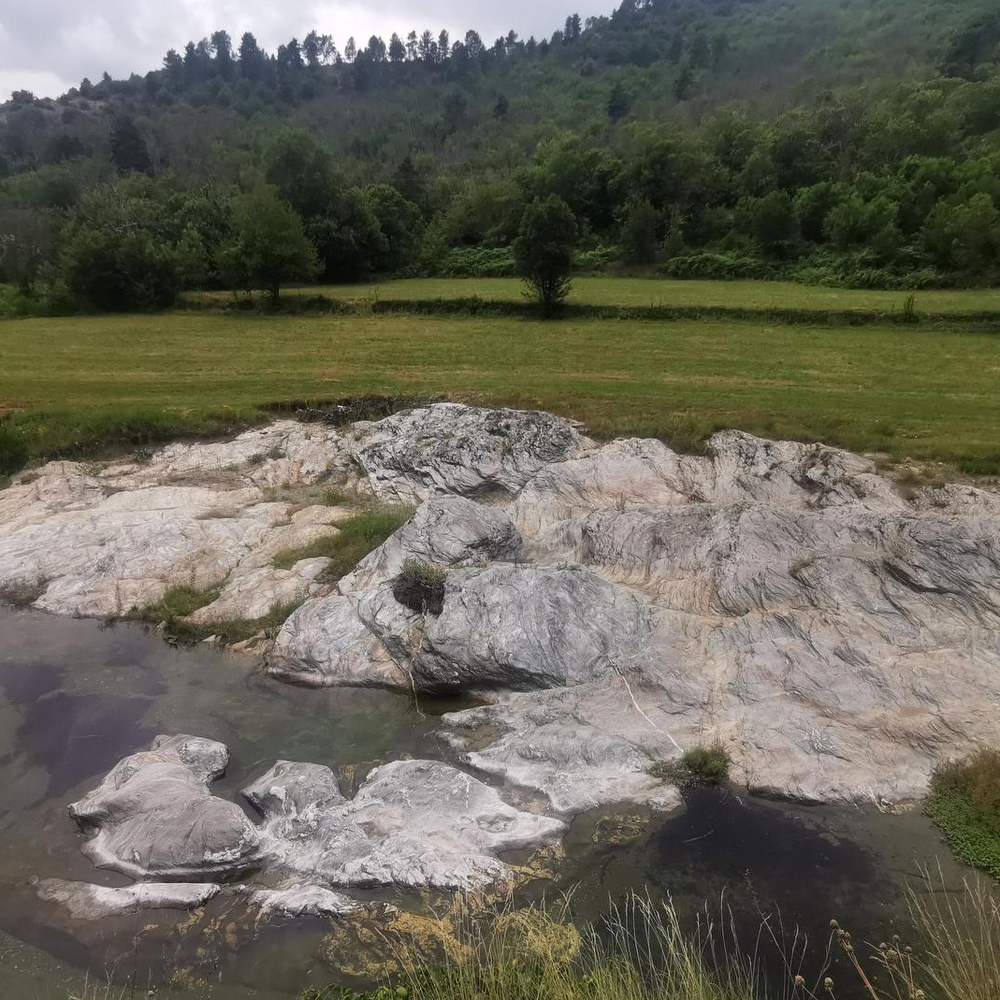
lovely swimming in the river
0
0
An address to spend an incredible night in a converted container: “Le voyageur”! Isabelle at 0638885274.
0
0

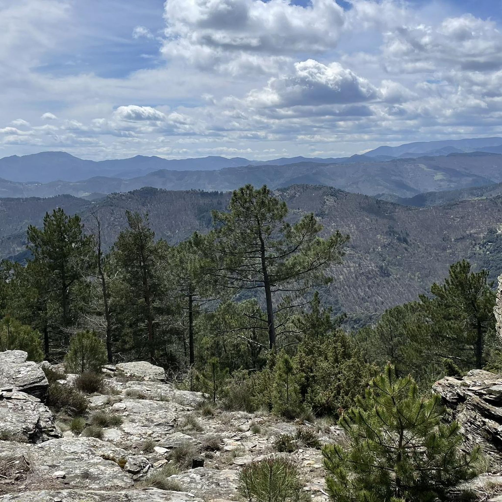
One of the passes on the Corniche des Cévennes - unfortunately the viewpoints up here are overgrown so that the views are no longer ideal...
0
0

Stop for a coffee and breathe the fresh air of the Cévennes
1
0

The Col des Marquises is 11km long with an elevation gain of 522m. The average gradient of the climb is 4.75% with maximum gradients of 6.5%.
1
0
Frequently Asked Questions
How many road cycling routes are available around Sainte-Croix-Vallée-Française?
There are nearly 50 road cycling routes available around Sainte-Croix-Vallée-Française. These routes navigate the varied terrain of the Cévennes region, offering options for different fitness levels.
Are there easy road cycling routes suitable for beginners in Sainte-Croix-Vallée-Française?
While the region is known for its challenging terrain, there is at least one easy road cycling route. The majority of routes are moderate to difficult, so beginners should carefully check route profiles for elevation and distance.
What is the typical length and duration of road cycling routes in this area?
Route lengths vary significantly. For example, the Gorges Loop is about 60.9 km (37.8 miles) and takes around 3 hours 32 minutes, while the Col du Mercou (570 m) – Bridge over the Salindrenque loop from Saumane is 49.0 km (30.5 miles) and typically takes 2 hours 30 minutes.
Where can I find challenging road bike climbs around Sainte-Croix-Vallée-Française?
The Cévennes region is characterized by numerous ascents and descents, offering challenging climbs. Routes like the Gorges Loop feature significant elevation gain, making them suitable for experienced road cyclists seeking a challenge. Many routes include notable passes such as Asclier Pass and Col de Saint-Pierre.
Are there any family-friendly road cycling options in the region?
The routes around Sainte-Croix-Vallée-Française are generally characterized by varied terrain and significant elevation changes. While there is one easy route, most are moderate to difficult. Families with younger children or those seeking very flat terrain might find limited options directly within this guide, but should look for specific, flatter sections or dedicated cycle paths in the wider Cévennes area.
What kind of scenic viewpoints can I expect along the road cycling routes?
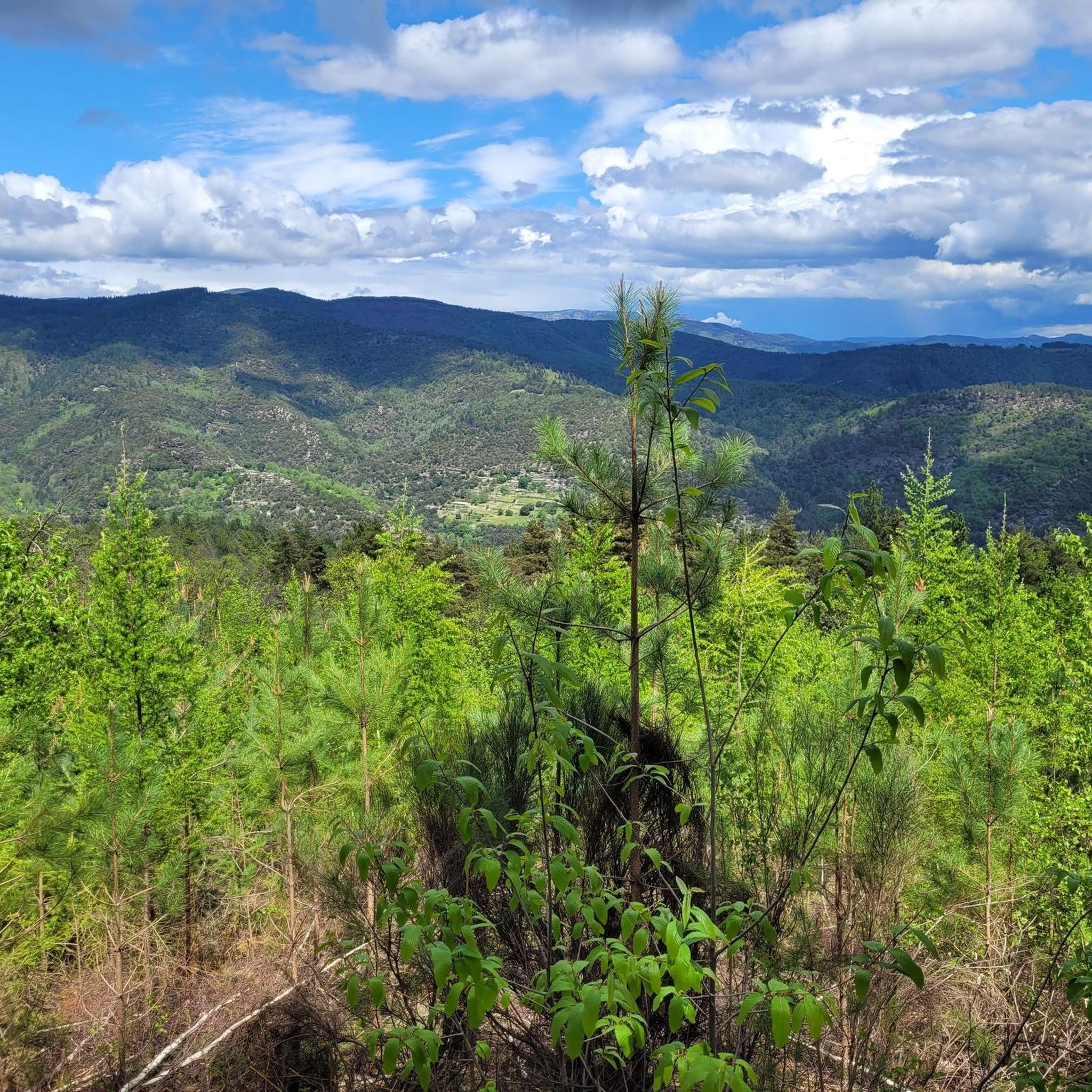
The routes offer views of deep valleys, winding river gorges, and forested hills. You can find beautiful panoramic views of the Cévennes, such as the Beautiful view of the Cévennes highlight. Many passes, like Asclier Pass, also provide excellent vantage points.
Are there any notable landmarks or attractions to see while road cycling?
Yes, the region offers several points of interest. You might pass through charming villages like Saint-André-de-Valborgne or encounter historical sites such as the Saint-Germain-de-Calberte War Memorial and Tribute to the Cévenols and Saint Stephen's Church.
What do other road cyclists say about the routes in Sainte-Croix-Vallée-Française?
The routes in Sainte-Croix-Vallée-Française are highly rated by the komoot community, with an average score of 4.5 stars from over 50 reviews. Cyclists often praise the challenging climbs, scenic river valleys, and dense woodlands that define the area's diverse terrain.
Are there many loop trails for road cycling in this region?
Yes, many of the road cycling routes in Sainte-Croix-Vallée-Française are designed as loops, allowing you to start and finish at the same point. Examples include the Asclier Pass loop from Saint-André-de-Valborgne and the Col du Mercou (570 m) – Bridge over the Salindrenque loop from Saumane.
What is the best time of year for road cycling in Sainte-Croix-Vallée-Française?
The Cévennes region generally offers pleasant cycling conditions from spring through autumn. Spring brings lush greenery, while autumn provides cooler temperatures and vibrant foliage. Summers can be warm, especially in the valleys, so early morning rides are often preferred during peak season. Always check local weather forecasts before heading out.
Where are common starting points for road cycling routes in the area?
Many routes start from towns and villages within or near Sainte-Croix-Vallée-Française. For instance, routes like the Col du Mercou (570 m) – Bridge over the Salindrenque loop often begin from Saumane, while others, such as the Asclier Pass loop, start from Saint-André-de-Valborgne.
Are there any very long or endurance-focused road cycling routes?
For those seeking longer endurance rides, routes like the Exile Pass – Col de Saint-Pierre loop from Saint-André-de-Valborgne cover nearly 98 km (60.9 miles) with over 2000 meters of elevation gain, providing a significant challenge for experienced cyclists.
Most popular routes around Sainte-Croix-Vallée-Française
Most popular attractions around Sainte-Croix-Vallée-Française

Get inspired with the komoot mobile app


Explore more
Browse the best Road cycling routes in other regions.
