The best running trails around Sondersdorf
4.3
(39)
986
runners
102
runs
Jogging around Sondersdorf offers a diverse landscape for runners, characterized by rolling hills, dense woodlands, and historical sites. The region features a mix of moderate and more challenging trails, often incorporating natural landmarks and scenic viewpoints. Runners can expect varied terrain, from forest paths to routes exploring local villages and historical ruins.
Best jogging routes around Sondersdorf
- The most popular jogging route is Le Gros Chêne de Sondersdorf – Bridge in Oltingue loop from Sondersdorf, a 9.0 miles (14.5…
Last updated: July 7, 2026
5.0
(1)
8
runners
14.5km
01:37
230m
230m
Moderate run. Good fitness required. Mostly paved surfaces. Suitable for all skill levels.
12
runners
9.64km
01:15
300m
300m
Hard run. Very good fitness required. Mostly paved surfaces. Suitable for all skill levels.

Sign up for free
9
runners
6.66km
00:54
250m
250m
Moderate run. Good fitness required. Mostly accessible paths. Some sure footedness required.
7
runners
6.41km
00:41
80m
80m
Moderate run. Good fitness required. Mostly paved surfaces. Suitable for all skill levels.
4.0
(4)
7
runners
20.4km
02:28
580m
580m
Hard run. Very good fitness required. Sure-footedness, sturdy shoes and alpine experience required.
Get access to more routes and recommendations from other explorers.
Sign up for free
Already have an account?
Our route recommendations are based on thousands of hikes, rides, and runs completed by other people on komoot.
Start today with a free account
Your next adventure awaits.
Login or Signup
Tips from the Community

Added to the collection: komoot.com/de-de/collection/3600632/-naturdenkmaeler-besondere-baeume-und-weitere-schaetze-der-natur
0
0

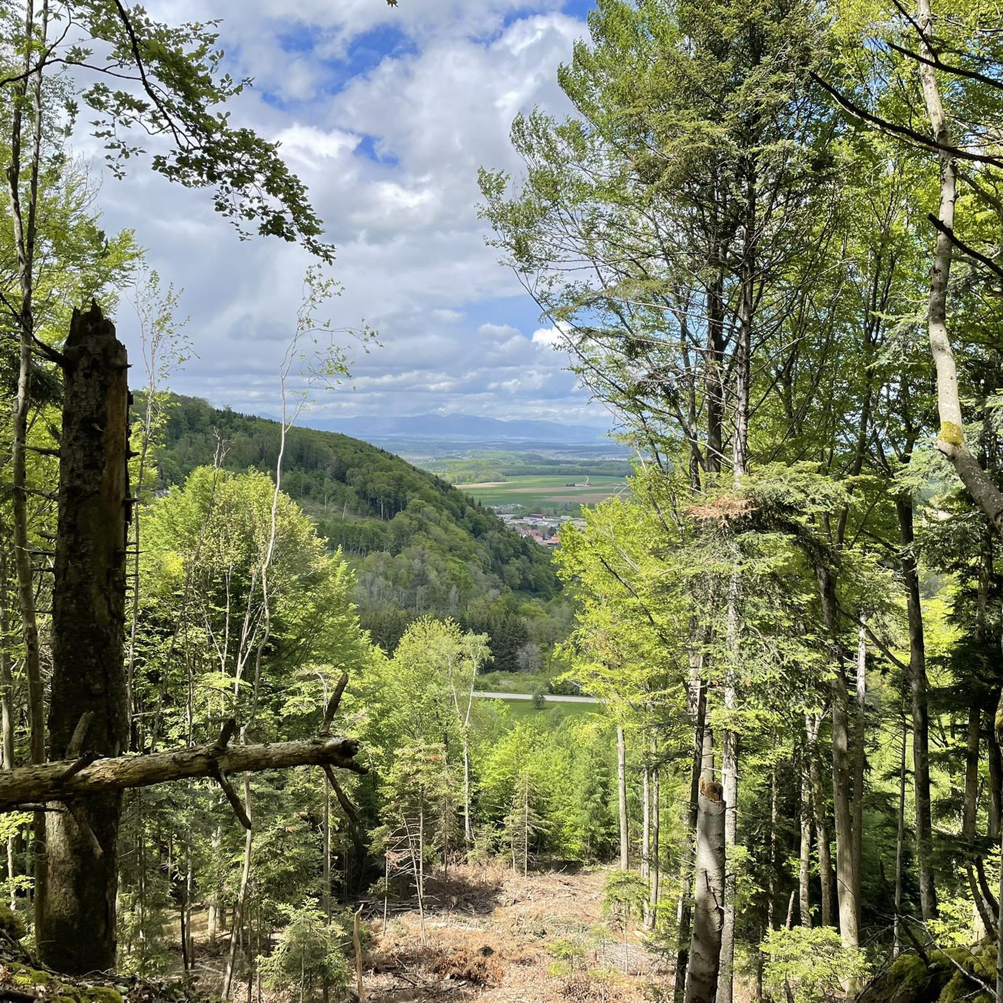
A very nice hike and view from the tower. There are signs at the top pointing out the sights you can see in the distance. It wobbles slightly at the very top.
0
0

In 1913 and 1914, following the ideas of Johann Knauth, architect of Strasbourg Cathedral and curator of the M.H., the nave, the side chapel of the Sacré-Coeur, the Saint-Joseph Chapel in the basement, and the sacristy were rebuilt in the Gothic style by the architect Alexandre Louvat from Mulhouse. The old Gothic nave, remodeled in the 18th century, was decorated with murals dating from 1491. To the south of the choir was a small chapel dating from the 14th and 15th centuries, with cross-ribbed vaults on consoles. To the north were the remains of the old priory cloister. On the site of the present Sacred Heart Chapel was the 18th-century Mount of Olives, the rood screen of which was removed in 1861.
0
0

Oltingue is a quiet village in the Sundgau with a late-classical village ensemble around the church of Saint-Martin (1827–1831), the rectory and the former school. The Callinet organ (1843), the double staircase of the rectory and the facade details are striking. There are several historic houses in the village, including half-timbered houses from 1695 and a farm from the 16th century. To the east lies the chapel of Saint-Brice, a former place of pilgrimage with a baroque altar and an outdoor pulpit.
10
0

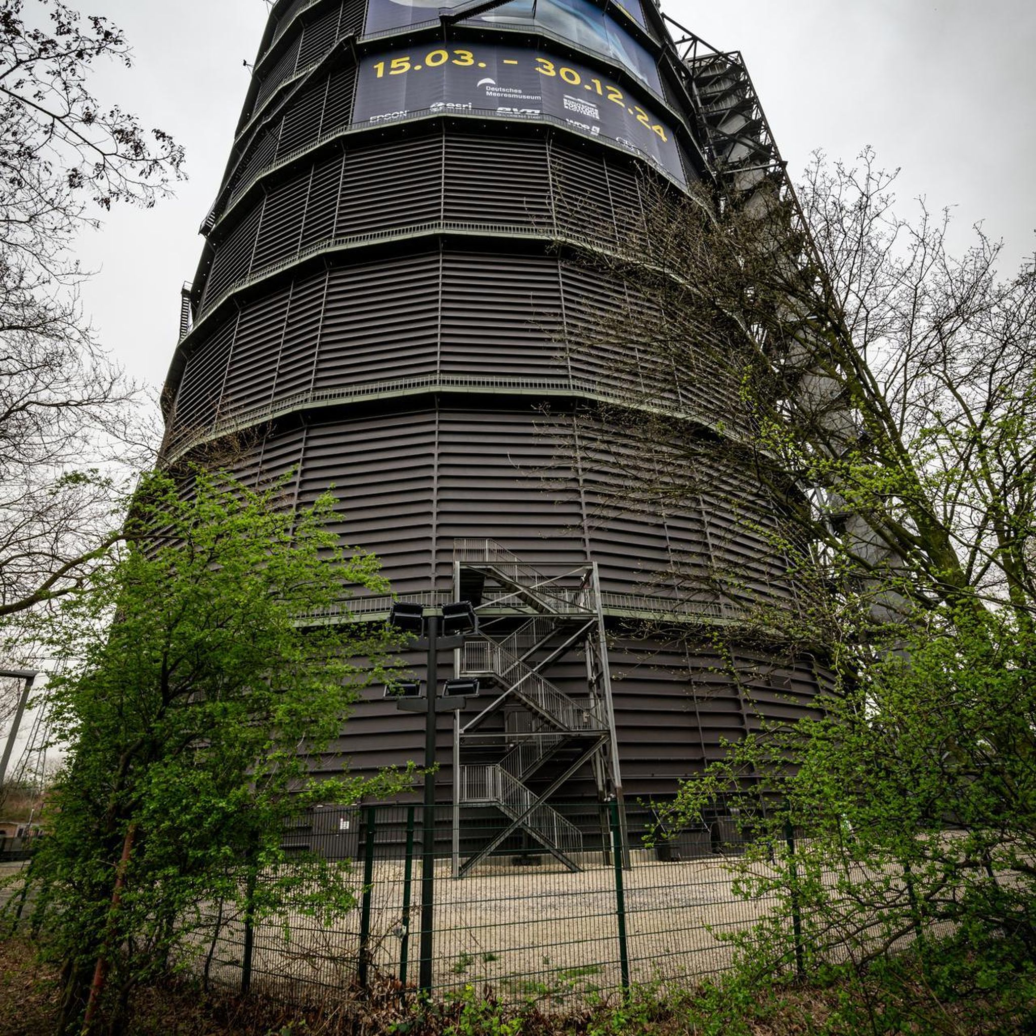
Metal tower with steep stairs. Good railing for safe climbing up and down. The top level is accessible via a vertical ladder. Also easy to use, but only if you can handle the height.
0
0

This beautiful bridge and the adjacent rest area are not on a typical route when riding a racing bike. But anyone who dares to make the detour will be rewarded with peace and quiet and a beautiful wooden structure.
0
0

Not far from the church of Ultingue there is this beautiful bridge with a covered rest area. Ideal for a short break to stretch and enjoy the view.
0
0
Frequently Asked Questions
How many running routes are available in the Sondersdorf area?
Sondersdorf offers a wide selection of running routes, with over 100 different trails available for exploration. This includes a mix of easy, moderate, and difficult options to suit various fitness levels.
Are there easy running routes for beginners in Sondersdorf?
Yes, Sondersdorf provides several easy running routes perfect for beginners or those seeking a more relaxed pace. Out of the 108 routes, 9 are classified as easy, offering gentle terrain and less challenging ascents.
What is the typical length and duration of running routes around Sondersdorf?
The running routes in Sondersdorf vary considerably in length and duration. For instance, the Medieval Garden – Loechle Rock loop from Ferrette is about 4.1 miles (6.7 km) and takes around 54 minutes. More challenging routes, such as the Rossberg Observation Tower – Medieval Garden loop from Ferrette, can extend over 12 miles (20 km) and require several hours to complete.
Are there family-friendly running routes suitable for all ages in Sondersdorf?
While not explicitly tagged as 'family-friendly,' many of the easier running routes in Sondersdorf, particularly those on flatter terrain or through woodlands, can be suitable for families. These trails often provide a pleasant experience away from challenging ascents, allowing everyone to enjoy the outdoors.
Can I bring my dog on the running trails in Sondersdorf?
Generally, dogs are welcome on most running trails in Sondersdorf, especially in natural areas and woodlands. However, it's always recommended to keep your dog on a leash and be mindful of local regulations, particularly when passing through agricultural land or near wildlife. Always check specific route details for any restrictions.
What kind of terrain can I expect on the running trails in Sondersdorf?
Runners in Sondersdorf can expect a diverse range of terrain. The region is characterized by rolling hills, dense woodlands, and paths that explore local villages and historical sites. You'll encounter everything from forest paths to trails with varied elevation changes, offering a dynamic running experience.
Are there any scenic viewpoints or natural landmarks along the running routes?
Yes, Sondersdorf's running routes often feature scenic viewpoints and natural landmarks. For example, the Le Gros Chêne de Sondersdorf – Bridge in Oltingue loop from Sondersdorf passes by the notable Le Gros Chêne. Other routes may offer views of the surrounding countryside or lead to interesting rock formations like Loechle Rock.
What historical sites or attractions can I see while running in Sondersdorf?
The Sondersdorf region is rich in history. Many running routes incorporate historical sites such as the Ferrette Castle, which can be explored on routes like the Ruin Ferrette – Ferrette Castle loop from Bouxwiller. You might also encounter medieval gardens or other ruins, adding a cultural dimension to your run.
Are there circular running routes available in Sondersdorf?
Yes, many of the running routes in Sondersdorf are designed as circular loops, allowing you to start and finish at the same point. Examples include the Le Gros Chêne de Sondersdorf – Bridge in Oltingue loop from Sondersdorf and the View of Bouxwiller loop from Bouxwiller, which are convenient for exploration.
What do other runners enjoy most about jogging in Sondersdorf?
The running routes in Sondersdorf are highly rated by the komoot community, with an average score of 4.25 stars from over 30 reviews. Runners often praise the diverse landscape, the mix of moderate and challenging trails, and the opportunity to explore both natural landmarks and historical sites.
Is parking available near the running trails in Sondersdorf?
While specific parking details vary by trailhead, many running routes in the Sondersdorf area, especially those starting from villages or popular points, typically offer designated parking areas or roadside parking options. It's advisable to check the route details on komoot for specific starting points.
Most popular routes around Sondersdorf
Most popular attractions around Sondersdorf

Get inspired with the komoot mobile app


Explore more
Browse the best Running Trails & Routes in other regions.
