The best walks and hikes around Garrigues-Sainte-Eulalie
4.5
(913)
4,673
hikers
148
hikes
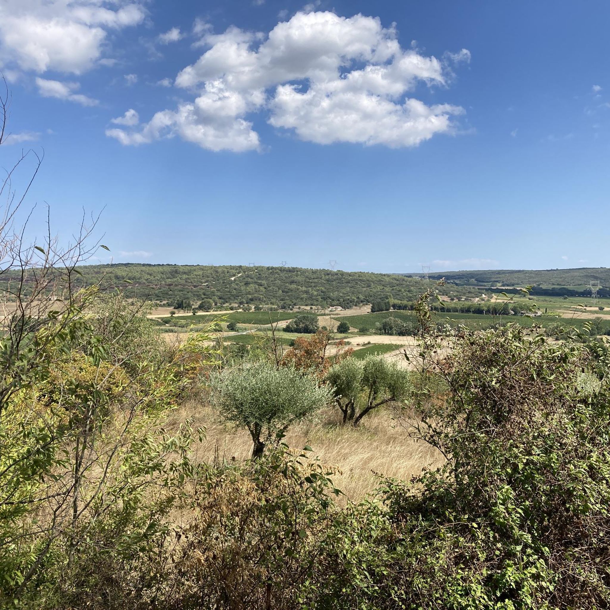
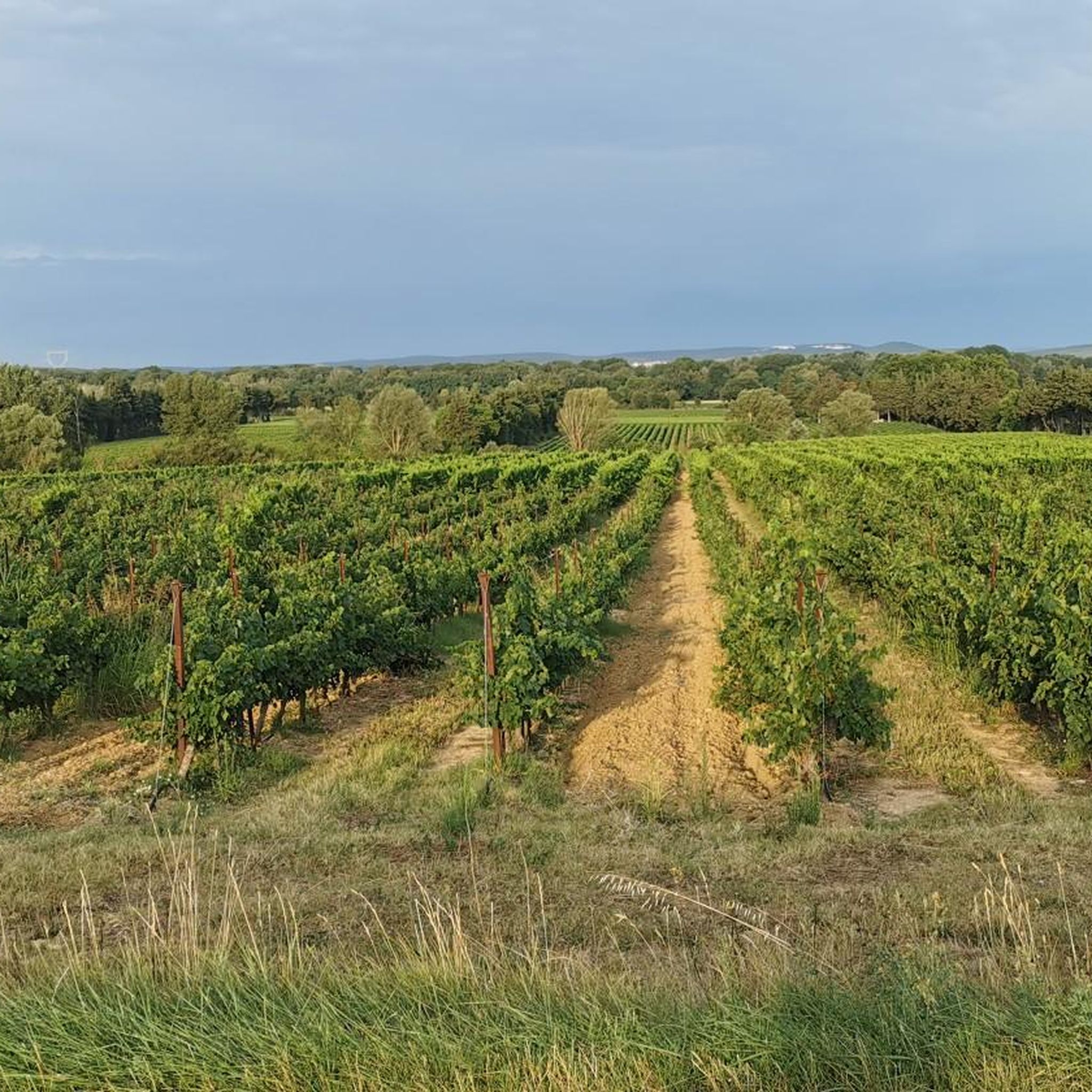
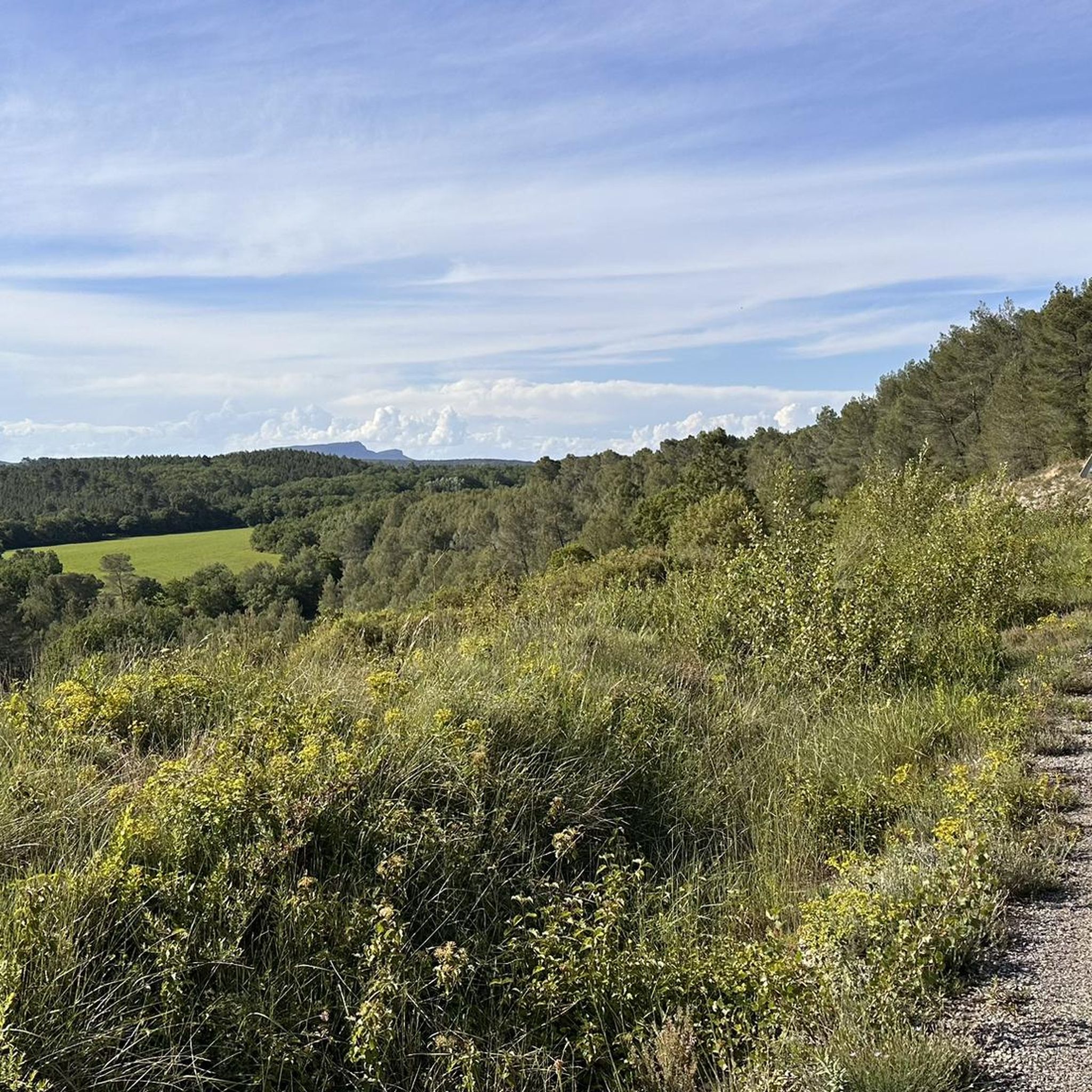
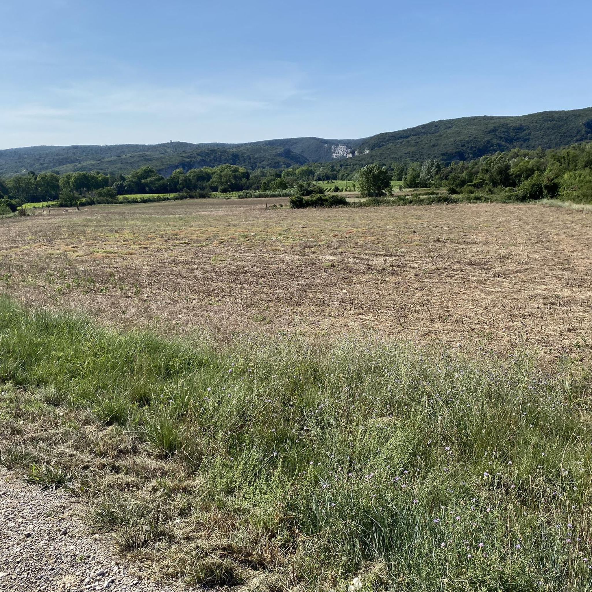
Hiking around Garrigues-Sainte-Eulalie offers diverse landscapes in the Gard region of France. The terrain features a mix of environments, including oak forests, extensive vineyards, and Mediterranean garrigue scrubland. Proximity to the Gardon Gorges provides spectacular views and routes along the Gardon River. The area also contains historical elements such as dry stone shelters and sculpted rocks.
Best hiking trails around Garrigues-Sainte-Eulalie
- The most popular hiking route is Les Ocres de Fougeras – loop starting from the Dions car park, a 4.8 miles (7.8 km) trail that takes 2 hours 5 minutes to complete. This moderate route explores the local "ocres" landscape.
- Another top favourite among local hikers is Gardon River – Baume-Latrone Cave loop from Baume Latrone, a difficult 5.9 miles (9.5 km) path. This route follows the Gardon River, offering views of its banks and surrounding natural features.
- Local hikers also love the View of the Gardon – Gorge view loop from Dions, a 4.5 miles (7.2 km) trail leading through the Gardon Gorges, often completed in about 2 hours 10 minutes.
- Hiking around Garrigues-Sainte-Eulalie is defined by oak forests, vineyards, and the dramatic Gardon Gorges. The network offers options for different ability levels, from easy walks to more challenging routes.
- The routes in Garrigues-Sainte-Eulalie are highly rated by the komoot community with an average score of 4.5 stars from over 700 reviews. More than 3,900 hikers have used komoot to explore Garrigues-Sainte-Eulalie's varied terrain.
Last updated: June 25, 2026
3.9
(14)
53
hikers
7.75km
02:05
100m
100m
Moderate hike. Good fitness required. Easily-accessible paths. Suitable for all skill levels.
4.5
(38)
158
hikers
9.55km
02:55
220m
220m
Hard hike. Good fitness required. Sure-footedness, sturdy shoes and alpine experience required.

Sign up for free
4.8
(15)
107
hikers
6.29km
01:47
140m
140m
Easy hike. Great for any fitness level. Easily-accessible paths. Suitable for all skill levels.
4.9
(7)
43
hikers
4.75km
01:37
140m
140m
Hard hike. Great for any fitness level. Sure-footedness, sturdy shoes and alpine experience required.
4.7
(17)
90
hikers
5.62km
01:45
150m
150m
Hard hike. Great for any fitness level. Sure-footedness, sturdy shoes and alpine experience required.
Get access to more routes and recommendations from other explorers.
Sign up for free
Already have an account?
Our route recommendations are based on thousands of hikes, rides, and runs completed by other people on komoot.
Start today with a free account
Your next adventure awaits.
Login or Signup

Tips from the Community

It is not necessary to add a photo at every passage!
0
0

Beautiful view of the meanders of the Gardon and the Saint-Nicolas bridge
0
0
Beautiful viewpoint over the meanders of the Gardon below
0
0
Beautiful viewpoint over the meanders of the Gardon below
0
0
From here, you can enjoy a magnificent view of the Gardon gorges and the Saint-Nicolas bridge. Sit back and admire the scenery!
0
0
Nice viewpoint from above the Russan bridge
0
0
Superb view of the meandering Gardon River below. The small adjoining cave provides shelter if needed, but access is a bit tricky.
0
0
Frequently Asked Questions
What types of landscapes can I expect to see while hiking around Garrigues-Sainte-Eulalie?
The region offers a diverse mix of environments, including charming oak forests, extensive vineyards, and the characteristic Mediterranean scrubland known as 'garrigue'. Many trails also provide spectacular views of the Gardon Gorges and lead alongside the refreshing Gardon River.
How many hiking trails are available in Garrigues-Sainte-Eulalie?
There are over 150 hiking routes around Garrigues-Sainte-Eulalie, catering to various skill levels. This includes 68 easy, 69 moderate, and 15 difficult trails, ensuring options for everyone from casual walkers to experienced hikers.
Are there any easy hiking trails suitable for families or beginners?
Yes, there are 68 easy routes in the area. A good option for a more relaxed walk is the View of Vic – Église de Vic - Church of Vic loop from Sainte-Anastasie, which is 6.3 km long and takes about 1 hour 45 minutes to complete, offering views of picturesque local villages.
What are some challenging hikes in the Garrigues-Sainte-Eulalie area?
For those seeking a challenge, there are 15 difficult routes. The Gardon River – Baume-Latrone Cave loop from Baume Latrone is a difficult 9.5 km path that follows the Gardon River, offering rugged terrain and scenic views. Another challenging option is the View of the Gardon – Gorge view loop from Dions, a 7.2 km trail through the Gardon Gorges.
What historical or natural attractions can I discover on the trails?
Hikers can explore a rich tapestry of historical and natural features. Notable sites include the ancient 'cade millénaire' (millennial juniper tree), the dry stone shelters of La Baume Saint-Vérédème Cave and Chapel, and the unique Ochres of Fougeras. You can also find the Le Castellas – View over the Gardon, offering sublime river views.
Are there any circular hiking routes available?
Yes, many routes in the area are circular, allowing you to start and end at the same point. For example, the popular Les Ocres de Fougeras – loop starting from the Dions car park is a moderate 7.8 km circular trail exploring the local ochre landscape.
What is the best time of year to go hiking in Garrigues-Sainte-Eulalie?
Spring is an ideal time to visit for hiking, as it allows you to avoid the intense summer heat while enjoying the diverse terrain and vegetation. The changing scenery, from oak forests to vineyards, is particularly beautiful during this season.
Is there parking available at the trailheads?
Many popular trailheads, such as the starting point for the Les Ocres de Fougeras loop, offer designated parking areas. It is advisable to check specific route details for parking information before you go.
What do other hikers say about the trails in Garrigues-Sainte-Eulalie?
The routes in Garrigues-Sainte-Eulalie are highly rated by the komoot community, with an average score of 4.5 stars from over 700 reviews. Hikers often praise the diverse landscapes, the scenic views of the Gardon Gorges, and the variety of trails suitable for different abilities.
Can I hike with my dog on the trails?
While specific regulations for dogs on trails are not universally posted, generally, dogs are permitted on most public footpaths in France, often on a leash. It's always recommended to check local signage at trailheads for any specific restrictions or protected areas where dogs might not be allowed.
Are there any viewpoints offering panoramic vistas?
Yes, the region is known for its stunning viewpoints. A particular highlight is Le Castellas – View over the Gardon, which offers a sublime perspective of the Gardon River. Many trails through the Gardon Gorges also provide spectacular panoramic views.
How long do hikes typically take in this area?
Hikes vary in length and duration. Easy routes, like the View of Vic loop, can take around 1 hour 45 minutes. Moderate trails, such as the Les Ocres de Fougeras loop, typically last about 2 hours. More challenging routes, like the Gardon River – Baume-Latrone Cave loop, can take over 2 hours 50 minutes.
Most popular routes around Garrigues-Sainte-Eulalie
Most popular attractions around Garrigues-Sainte-Eulalie

Get inspired with the komoot mobile app


Explore more
Browse the best Hikes in other regions.
