The best running trails around Luz-Saint-Sauveur
3.9
(14)
902
runners
41
runs
Jogging routes around Luz-Saint-Sauveur are situated in the French Pyrénées, a region characterized by its mountainous terrain, deep valleys, and high-altitude cirques. The area, located at approximately 700 meters above sea level, provides access to the Pyrenees National Park, offering a range of trails from river paths to demanding mountain ascents. Joggers can explore diverse landscapes including alpine lakes, waterfalls, and iconic mountain passes.
Best jogging routes around Luz-Saint-Sauveur
- The most popular jogging route is Stage 4: Luz-Saint-Sauveur to Vielle-Aure — Grand Raid des Pyrénées, a difficult 42.1 miles (67.8 km) trail that takes 6 hours 53 minutes to complete. This route traverses high mountain terrain, offering a significant challenge for experienced runners.
- Another top favourite among local runners is Grust Village – Luz-Ardiden loop from Luz-Saint-Sauveur, a difficult 12.7 miles (20.4 km) path. This route features substantial elevation gain, leading towards the famous Luz-Ardiden mountain pass with panoramic views.
- Local runners also love the Pont Napoléon loop from Luz-Saint-Sauveur, a 2.9 miles (4.7 km) trail leading through the valley and across the historic Pont Napoléon, often completed in about 32 minutes.
- Jogging around Luz-Saint-Sauveur is defined by high mountain cirques, river valleys, and historic village paths. The network offers options for different ability levels, from gentle riverside runs to challenging mountain ascents.
- The routes in Luz-Saint-Sauveur are highly rated by the komoot community with an average score of 4.1 stars from over 12 reviews. More than 800 runners have used komoot to explore Luz-Saint-Sauveur's varied terrain.
Last updated: June 30, 2026
33
runners
42.1km
06:54
2,170m
2,080m
Hard run. Very good fitness required. Sure-footedness, sturdy shoes and alpine experience required.
4.5
(2)
95
runners
9.93km
01:19
400m
400m
Hard run. Very good fitness required. Mostly paved surfaces. Suitable for all skill levels.

Sign up for free
53
runners
4.76km
00:33
120m
120m
Moderate run. Good fitness required. Mostly paved surfaces. Suitable for all skill levels.
5.0
(1)
46
runners
20.1km
02:56
1,100m
1,100m
Hard run. Very good fitness required. Mostly paved surfaces. Suitable for all skill levels.
4.5
(2)
27
runners
9.56km
01:10
330m
330m
Hard run. Very good fitness required. Mostly paved surfaces. Suitable for all skill levels.
Get access to more routes and recommendations from other explorers.
Sign up for free
Already have an account?
Our route recommendations are based on thousands of hikes, rides, and runs completed by other people on komoot.
Start today with a free account
Your next adventure awaits.
Login or Signup
Popular around Luz-Saint-Sauveur
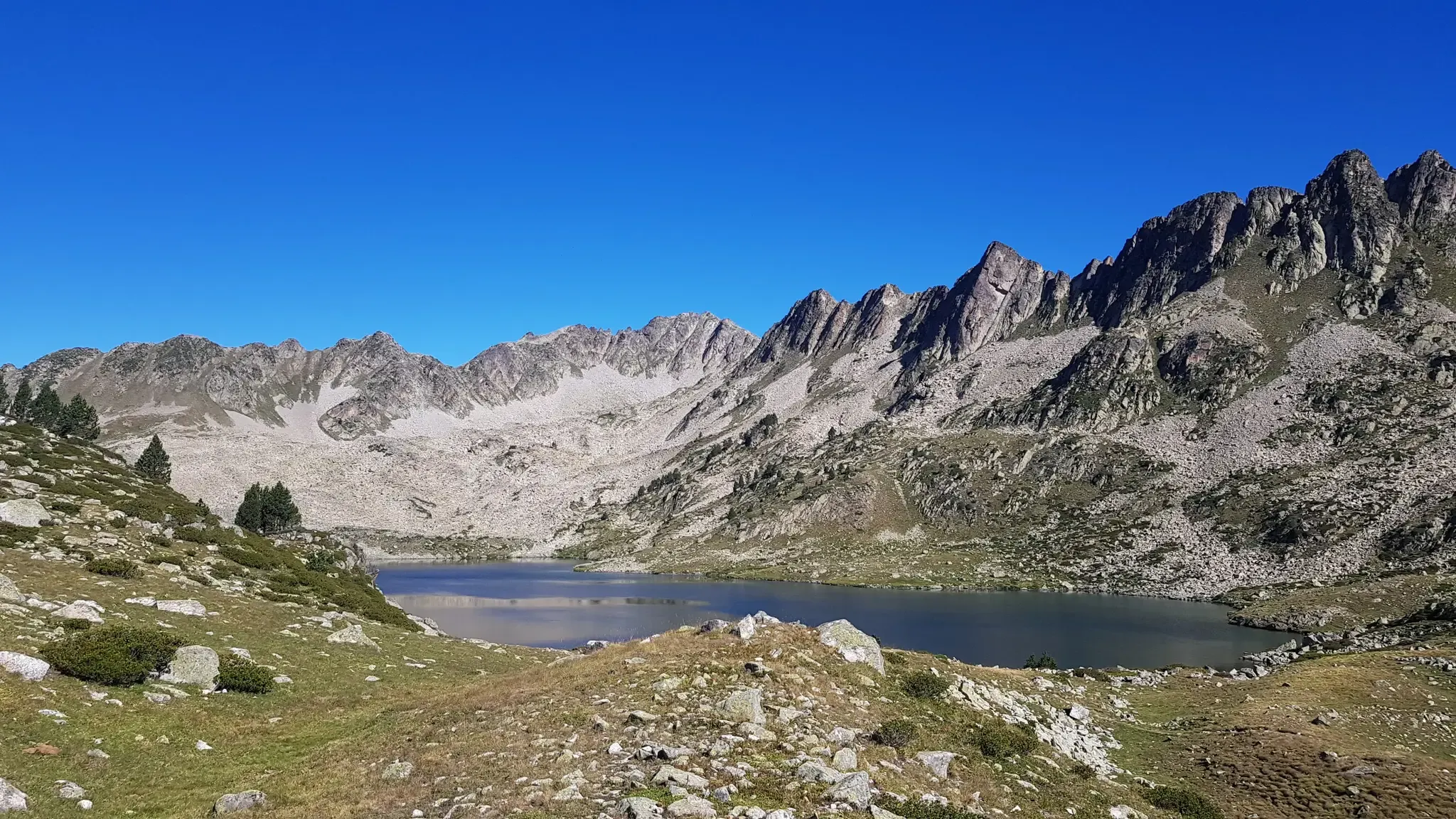
Grand Raid des Pyrénées – Ultra Tour Solo 2023 off
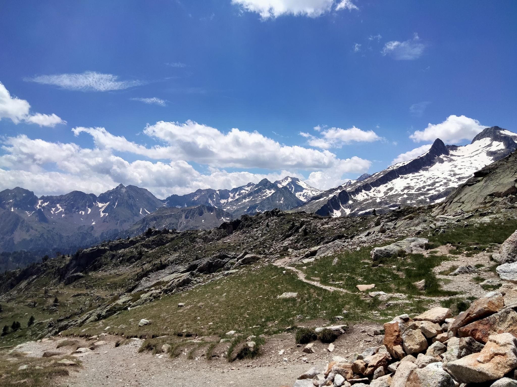
Hexatrek, the western and central Pyrenees – Between mountains and the ocean
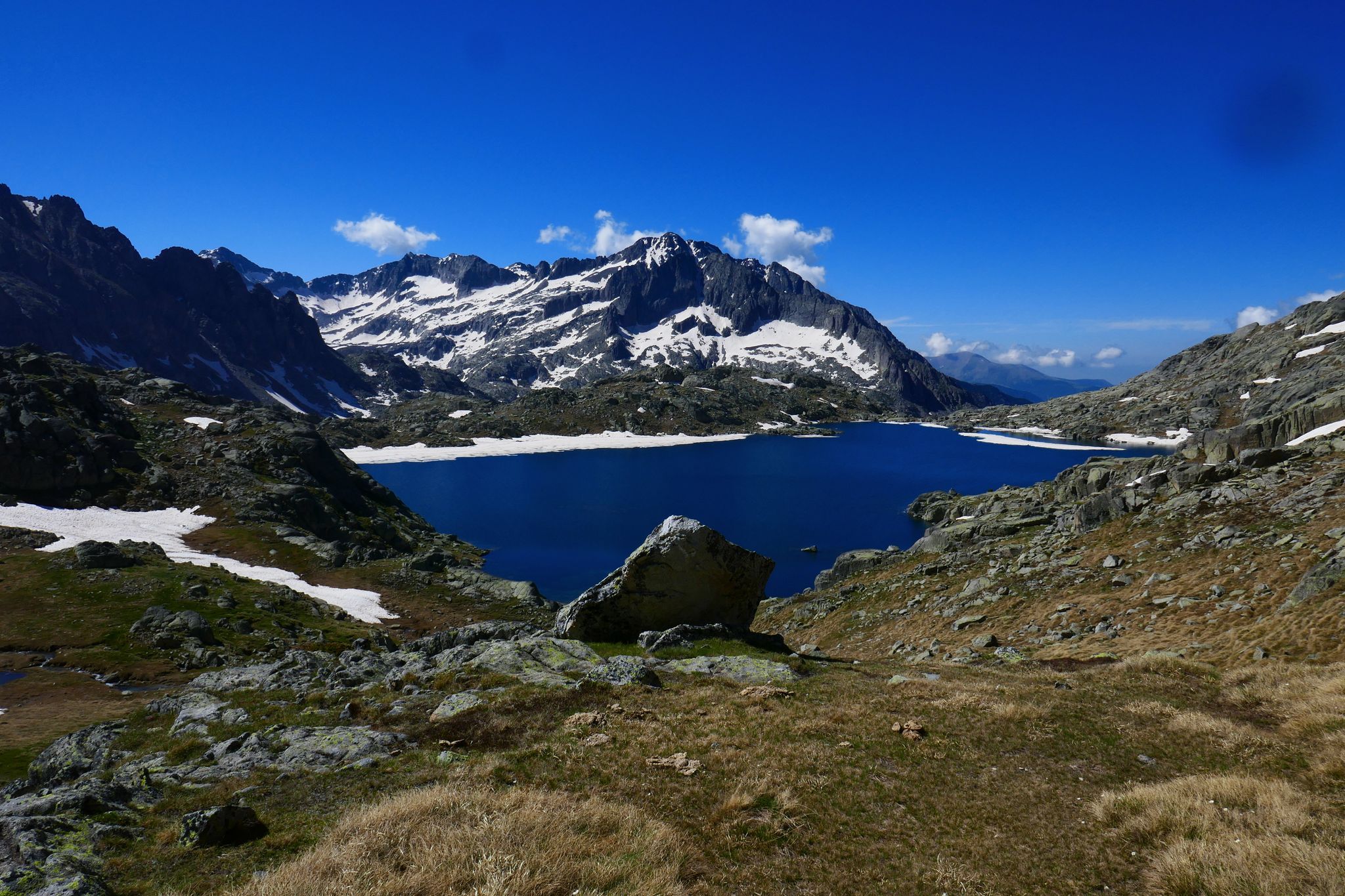
GR 10 – Central Pyrenees crossing the Pyrenees
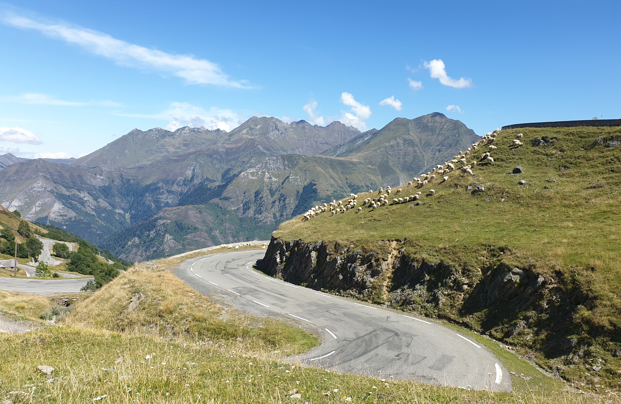
Between myths and legends – emblematic passes of the Pyrenees
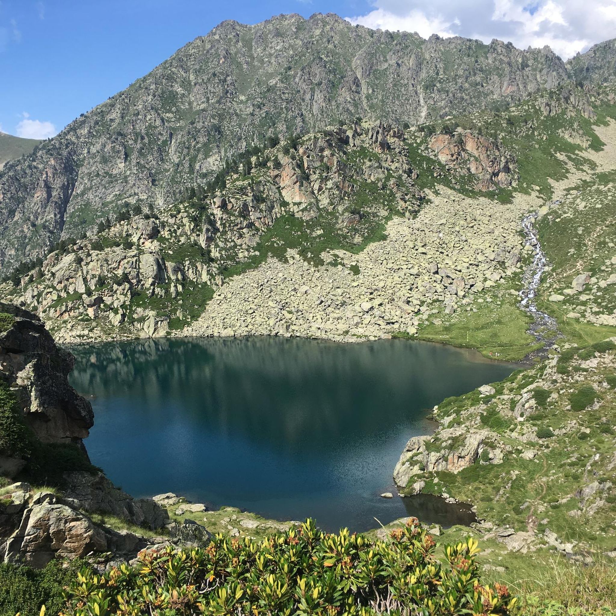
Road Cycling Routes around Luz-Saint-Sauveur
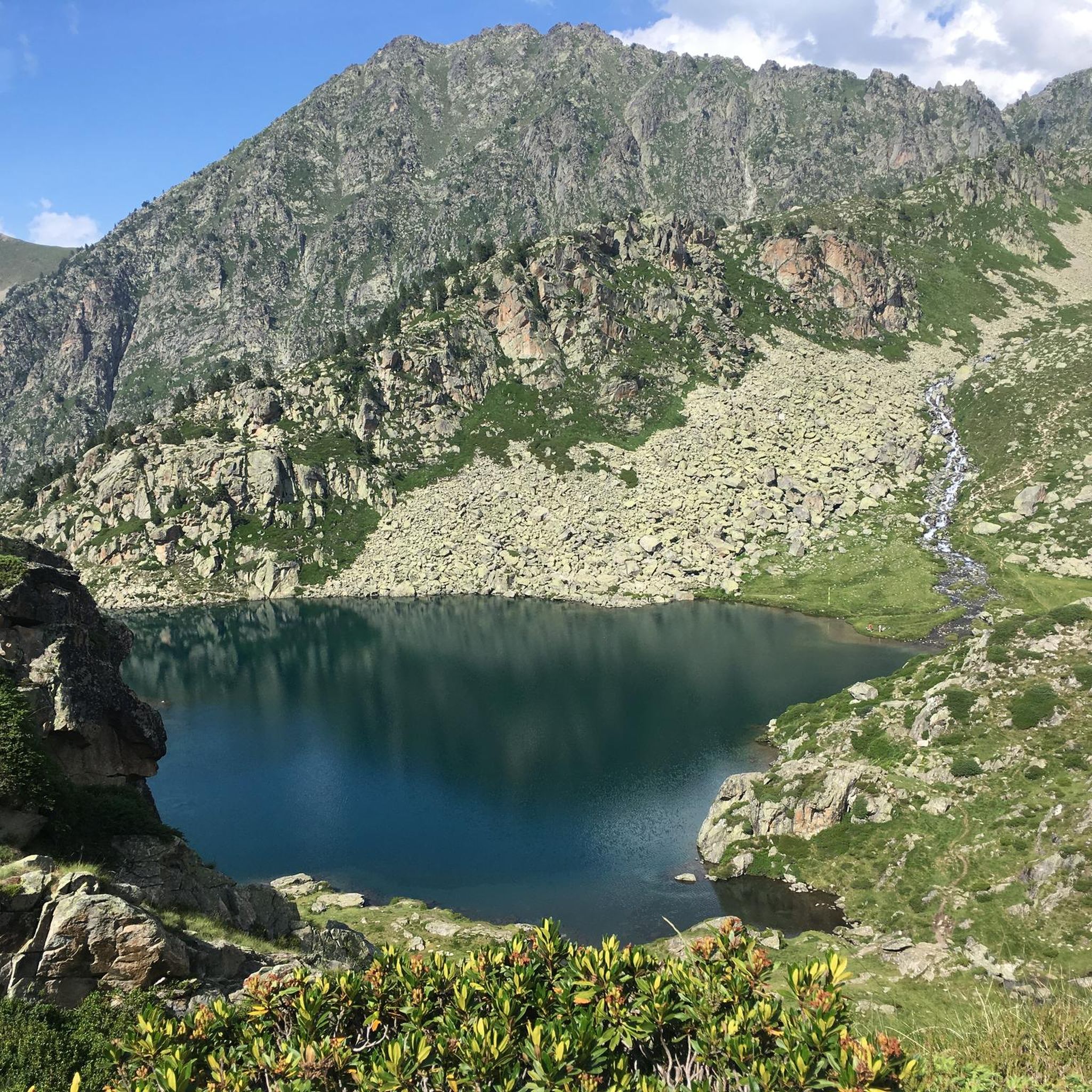
Cycling around Luz-Saint-Sauveur
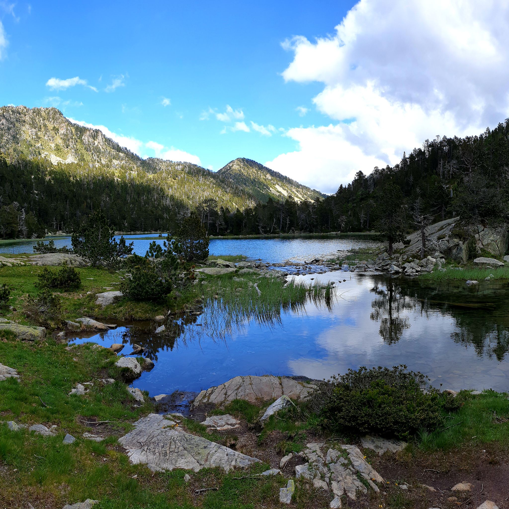
Hiking around Luz-Saint-Sauveur
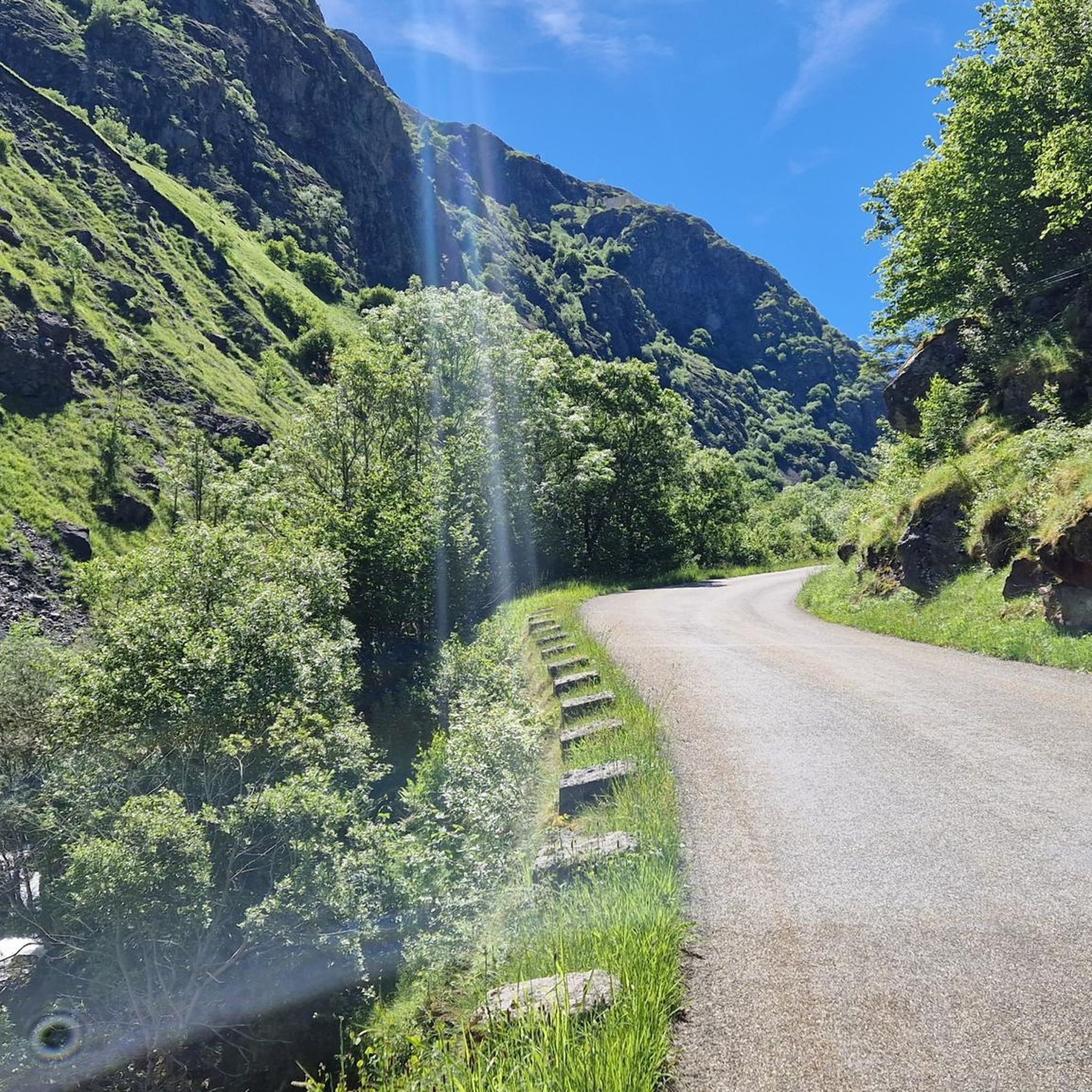
MTB Trails around Luz-Saint-Sauveur
Mountain Hikes around Luz-Saint-Sauveur

Gravel biking around Luz-Saint-Sauveur
Other adventures around Luz-Saint-Sauveur


Tips from the Community

beautiful view, many benches for walking
0
0

This is not a lake, but the start of the path that leads to Lake Bastampe (3 hours of walking).
2
0

starting point to climb the Tourmalet from Luz-St-Sauveur
1
0

Town where you can settle down to do various bicycle routes and climb some of the mythical (and not so well-known) passes and Pyrenean peaks. Below I leave you a list: Tourmalet, Luz Ardiden, Cirque du Troumousse, Col des Tentes, Plateau de Saugué, Pont d'Espagne, Cambasque, Hautacam, Col des Borderes, Col de Soulor, Col d'Aubisque, Col des Spandelles.
0
0
The best thing is to cross it in the direction of the Luz Ardiden station. It is worth stopping and looking down.
0
0

History buffs cannot miss a little detour via this hillock on which the chapel of Solférino stands. Building built on the initiative of Napoleon III after he discovered the ruins of the old hermitage of Saint-Pierre on the hill.
0
0

The first kilometers of the ascent towards Luz-Ardiden pass through several small hamlets. Each of them offers a beautiful view of the town of Luz-Saint-Sauveur below as well as its valley.
1
0
Luz-Ardiden is one of the most beautiful climbs in the Pyrenees. The Luz-Ardiden station is located on the heights of Luz-Saint-Sauveur from where the climb begins. In total, it's 14.7 kilometers at 6.87% average that lead to 1,720 meters above sea level. The last kilometers and its many switchbacks make it all its charm. Enjoy the view which becomes more and more vertiginous.
1
0
Frequently Asked Questions
What kind of terrain can I expect on the running trails around Luz-Saint-Sauveur?
The region offers a diverse range of terrain, from gentle paths along the River Bastan to challenging mountain ascents within the Pyrenees National Park. You'll find everything from well-maintained village routes to high-altitude trails traversing cirques, alpine lakes, and mountain passes.
Are there easy or family-friendly jogging routes in Luz-Saint-Sauveur?
Yes, there are several accessible options. For a relatively easy and scenic run, consider the Pont Napoléon loop from Luz-Saint-Sauveur, which is 4.7 km long and leads through the valley and across the historic bridge. The village itself also offers charming, shorter routes suitable for families or a warm-up.
Can I find challenging or long-distance running trails in the area?
Absolutely. Luz-Saint-Sauveur is a gateway to demanding mountain runs. The Stage 4: Luz-Saint-Sauveur to Vielle-Aure — Grand Raid des Pyrénées is a difficult 67.8 km trail with significant elevation gain, ideal for experienced runners. Another challenging option is the Grust Village – Luz-Ardiden loop from Luz-Saint-Sauveur, a 20.4 km path with substantial elevation towards the famous mountain pass.
Are there any circular running routes around Luz-Saint-Sauveur?
Yes, many routes are designed as loops. For example, the Bastan River – Luz-Saint-Sauveur loop offers a moderate 9.9 km run along the river. Another option is the Luz-Saint-Sauveur – Bastan River loop, which is 9.5 km and also follows the river with some elevation changes.
What historical landmarks or points of interest can I see while jogging?
You can incorporate several historical sites into your runs. The impressive 19th-century Pont Napoléon is a local landmark. The remains of Château Sainte-Marie offer panoramic views, and the Solferino Chapel provides another elevated viewpoint. The village itself, with its 12th-century Église des Templiers, is also rich in history.
Are there running routes that feature lakes or waterfalls?
The region is abundant with stunning alpine lakes and impressive waterfalls. While specific jogging routes may not directly pass every feature, the area around Pont d'Espagne is known for its waterfalls, and Lac de Gaube is a notable turquoise lake. Many high-mountain trails offer views of these natural wonders.
Can I jog with my dog on the trails in Luz-Saint-Sauveur?
While many areas are dog-friendly, it's important to note that the Pyrenees National Park, which borders Luz-Saint-Sauveur, generally restricts dogs, except on specific main paths like the one leading to Cirque de Gavarnie. Always check local regulations for specific trails, especially within protected areas, to ensure your dog is permitted.
What is the best time of year for running in Luz-Saint-Sauveur?
The best time for running generally depends on the altitude and your preference. Summer offers ideal conditions for high-mountain trail running, with pleasant temperatures. Spring and autumn provide cooler weather for lower-altitude routes. Winter can be challenging due to snow and ice, especially on higher trails, but some lower village paths may still be accessible.
How many running routes are available around Luz-Saint-Sauveur?
There are over 40 dedicated running routes around Luz-Saint-Sauveur listed on komoot, offering a wide variety of distances and difficulties to suit all preferences.
What do other runners say about the trails in Luz-Saint-Sauveur?
The running routes in Luz-Saint-Sauveur are highly rated by the komoot community, with an average score of 4.1 stars from over 12 reviews. Runners often praise the varied terrain, from riverside paths to challenging mountain ascents, and the stunning Pyrenean scenery.
Are there opportunities for wildlife spotting while jogging in the Pyrenees?
Yes, the Pyrenees National Park, accessible from Luz-Saint-Sauveur, is known for its diverse flora and fauna. While jogging, especially on quieter trails, you might encounter various species native to the Pyrenees, including birds of prey, marmots, and chamois. Maintaining a respectful distance and quiet observation is key.
Most popular routes around Luz-Saint-Sauveur
Most popular attractions around Luz-Saint-Sauveur

Get inspired with the komoot mobile app


Explore more
Browse the best Running Trails & Routes in other regions.
