The best mountain hikes around Luz-Saint-Sauveur
4.5
(60)
278
hikers
26
hikes
Mountaineering routes around Luz-Saint-Sauveur are set within the dramatic landscapes of the Pyrenees, serving as a gateway to the Pyrenees National Park. The region is characterized by impressive glacial cirques, towering peaks like Pic du Midi de Bigorre, and high-altitude lakes nestled within granite massifs. This diverse terrain offers a range of challenging ascents and scenic paths for experienced mountaineers.
Best mountaineering routes around Luz-Saint-Sauveur
- The most popular mountaineering route is Ossoue Glacier – Pico Vignemale loop from Aire de…
Last updated: October 7, 2026
4.5
(2)
26
hikers
15.0km
09:04
1,370m
1,370m
Hard mountaineering route. Very good fitness required. Sure-footedness, sturdy shoes and alpine experience required.
4.8
(9)
22
hikers
12.6km
04:57
630m
630m
Moderate mountaineering route. Good fitness required. Mostly accessible paths. Sure-footedness required.

4.9
(7)
21
hikers
6.61km
02:08
290m
290m
Moderate mountaineering route. Good fitness required. Easily-accessible paths. Suitable for all skill levels.
14
hikers
16.6km
05:44
850m
850m
Hard mountaineering route. Very good fitness required. Mostly accessible paths. Sure-footedness required.
4.4
(5)
12
hikers
8.09km
02:20
160m
160m
Moderate mountaineering route. Good fitness required. Mostly accessible paths. Sure-footedness required.
Get access to more routes and recommendations from other explorers.
Already have an account?
Our route recommendations are based on thousands of hikes, rides, and runs completed by other people on komoot.
Start today with a free account
Your next adventure awaits.
Popular around Luz-Saint-Sauveur
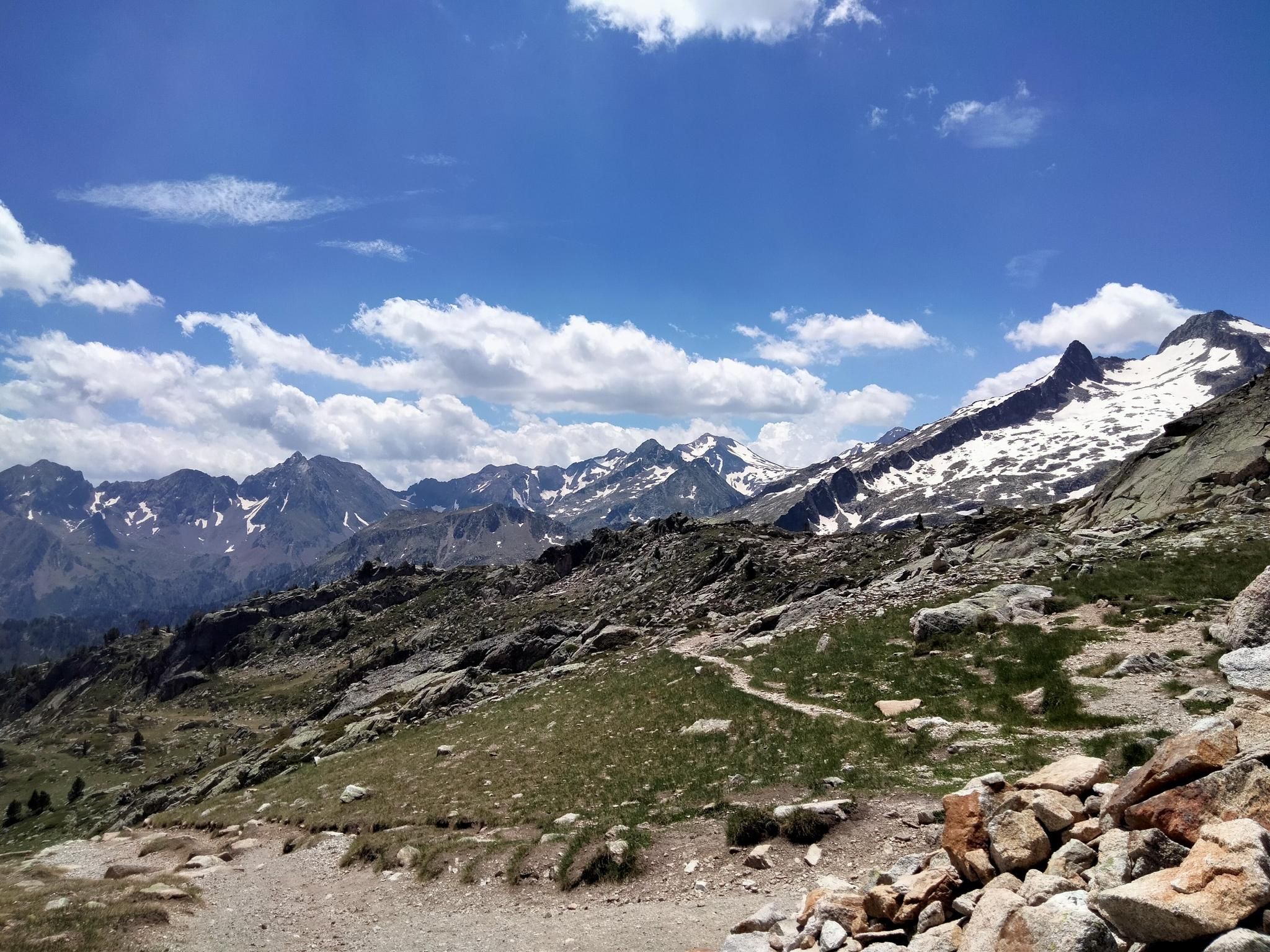
Hexatrek, the western and central Pyrenees – Between mountains and the ocean
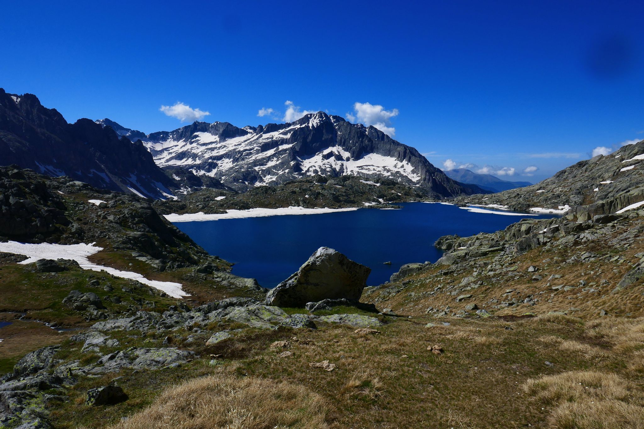
GR 10 – Central Pyrenees crossing the Pyrenees
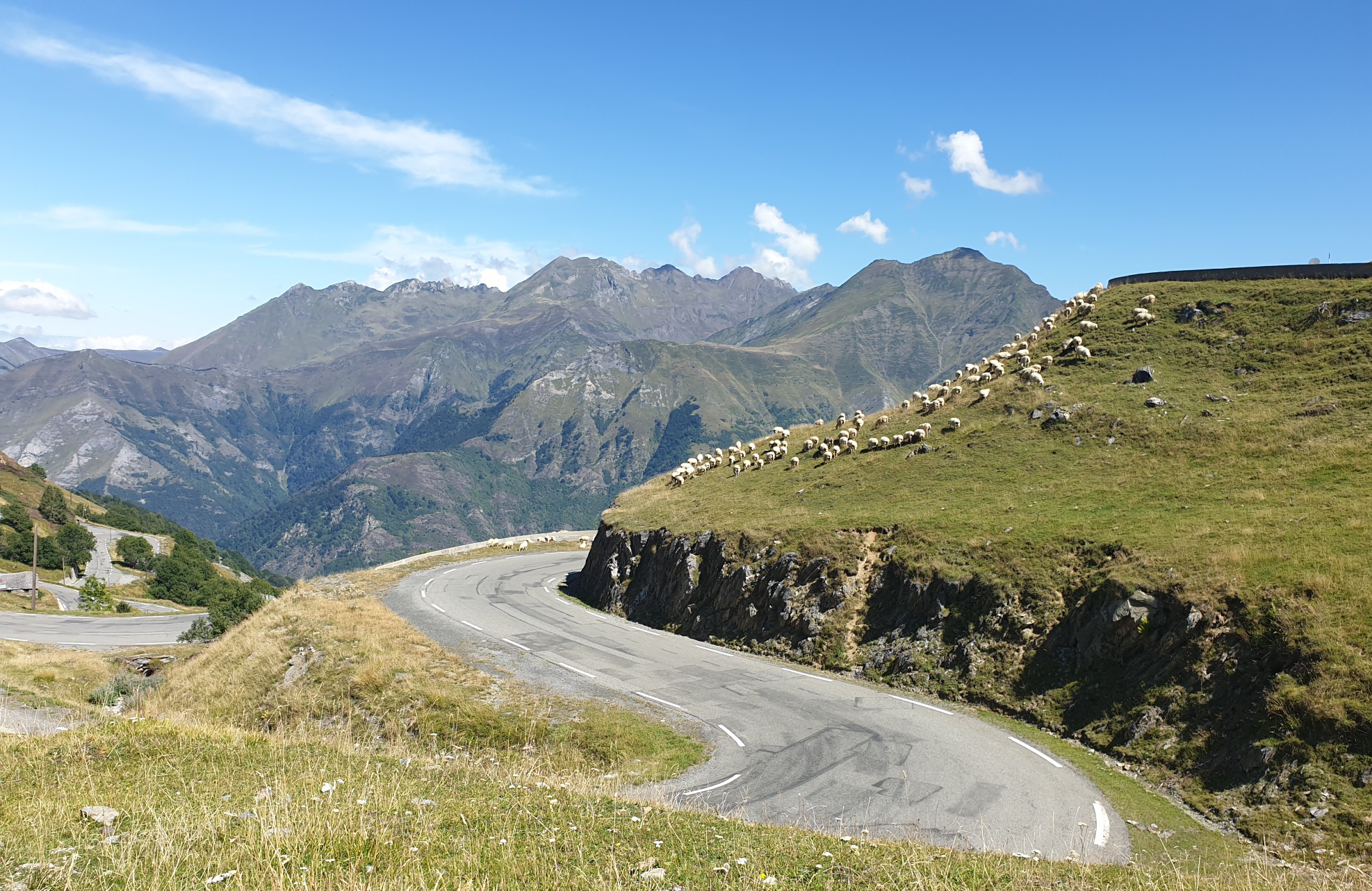
Between myths and legends – emblematic passes of the Pyrenees
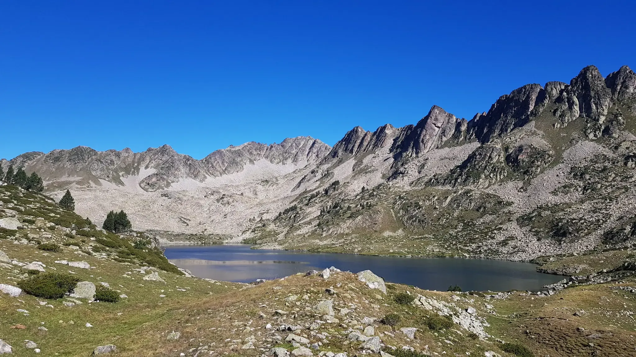
Grand Raid des Pyrénées – Ultra Tour Solo 2023 off
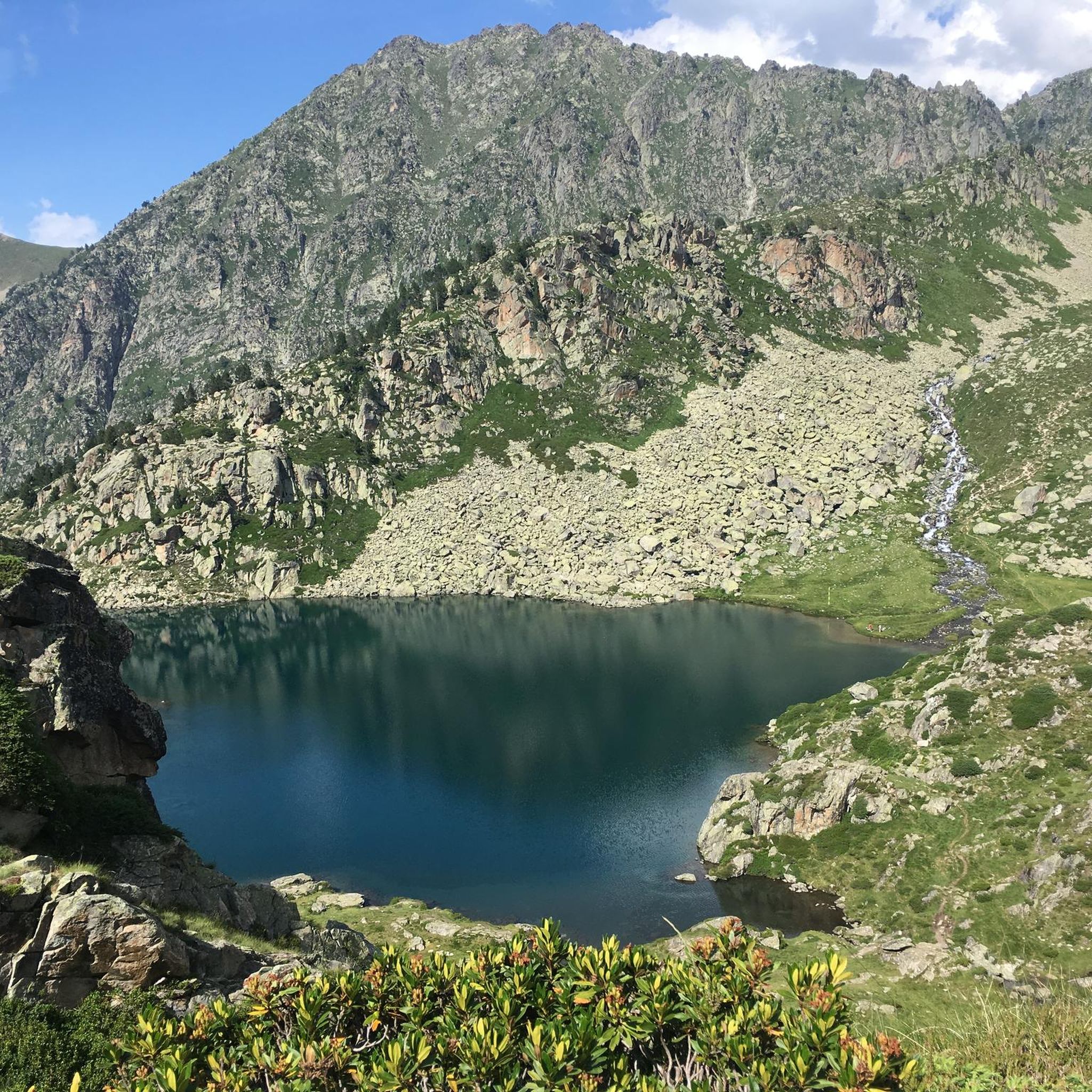
Road Cycling Routes around Luz-Saint-Sauveur
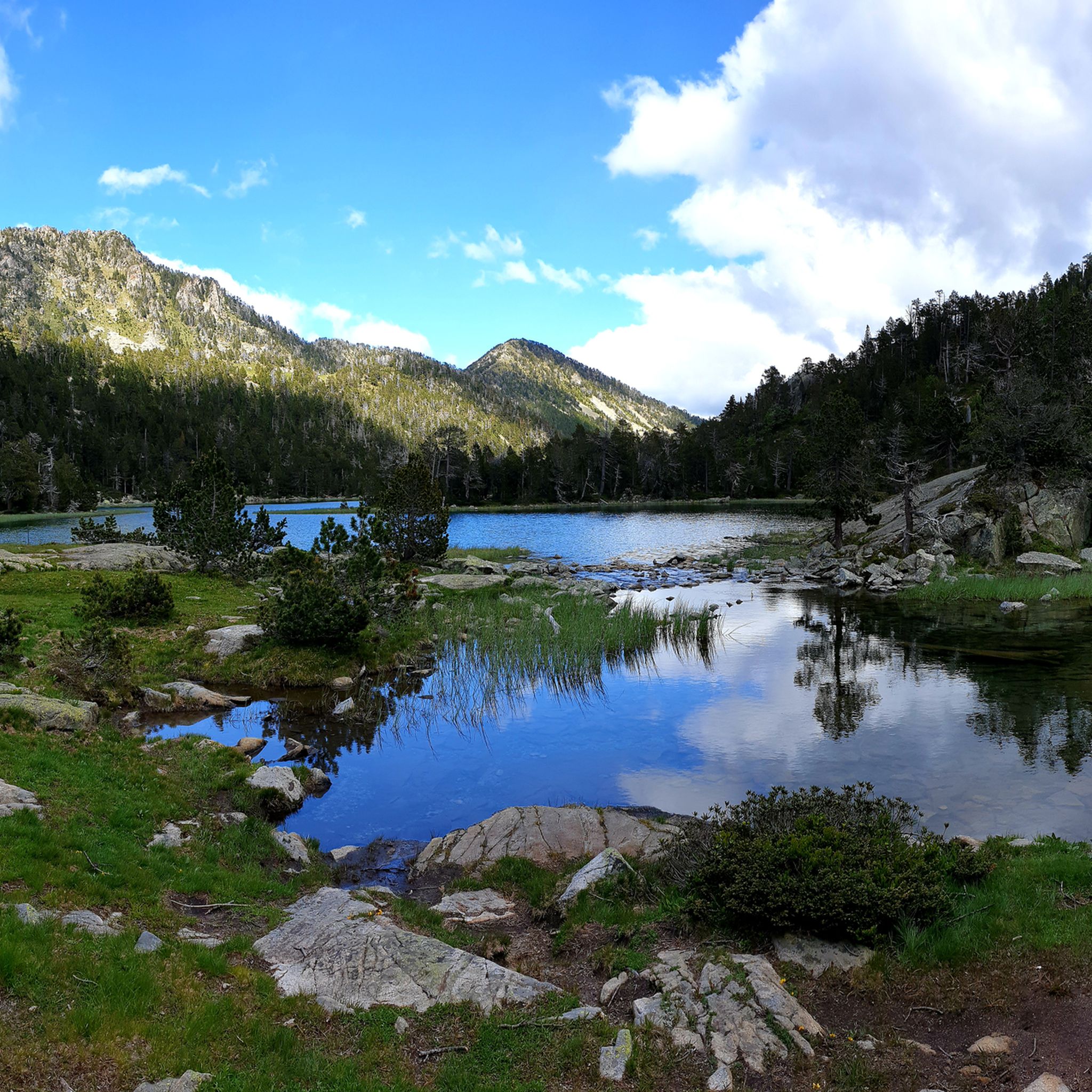
Hiking around Luz-Saint-Sauveur
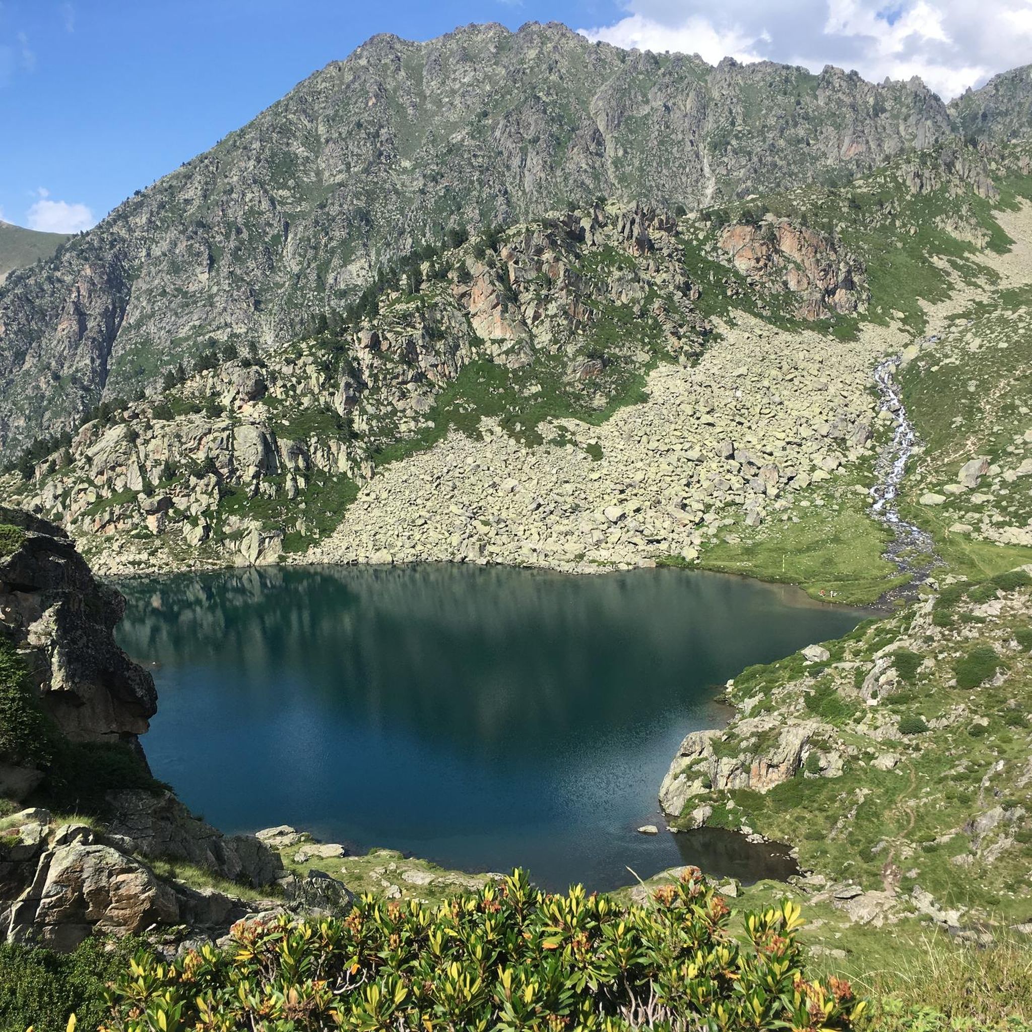
Cycling around Luz-Saint-Sauveur
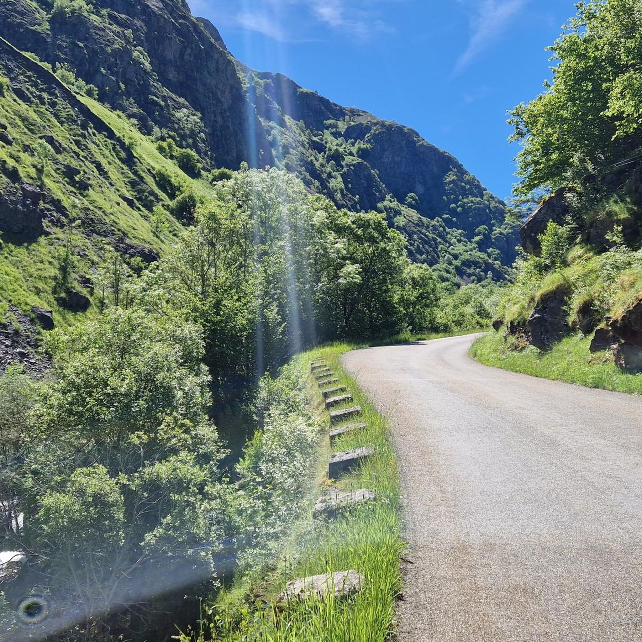
Running Trails around Luz-Saint-Sauveur
MTB Trails around Luz-Saint-Sauveur

Gravel biking around Luz-Saint-Sauveur
Other adventures around Luz-Saint-Sauveur


Tips from the Community


Beautiful plateau with the meandering Gade de Marcadau running through it.
0
0
map with fares for the cable car and chairlift to Lac de Gaube.
0
0

Because it's a summit that has to be won! A good difference in altitude whether you start from the Pont d'Espagne, the Baysselance refuge or the Ossoue dam, the passage of the Ossoue Glacier and the last part of climbing to reach the summit and enjoy this marvelous panorama
0
0
Chapel trail that goes to Lac de Gaube, this can be useful if you want to make a trip towards Les Oulettes de Gaube and want to skip the first climb.
0
0
Beautiful natural site with impressive waterfalls.
0
0

Large, welcoming refuge. An invigorating, cool shower during our stay. Very good meal and a great atmosphere in the evening. The caretaker was attentive. Maps, guidebooks, books, and board games are available in the common room.
1
0

There is a small bridge over the river here.
1
0
Frequently Asked Questions
How many mountaineering routes are available around Luz-Saint-Sauveur?
Luz-Saint-Sauveur offers a wide array of mountaineering opportunities, with a total of 38 routes documented on komoot. These routes cater to various skill levels, including 15 moderate and 23 difficult options, ensuring there's a challenge for experienced mountaineers.
What is the best time of year for mountaineering in the Luz-Saint-Sauveur region?
The best time for mountaineering in the Pyrenees around Luz-Saint-Sauveur is typically during the late spring, summer, and early autumn months (June to September). During this period, the snow has largely melted from higher elevations, and weather conditions are generally more stable, making routes more accessible and safer. However, always check local weather forecasts and conditions before heading out, as mountain weather can change rapidly.
Are there any circular mountaineering routes in the area?
Yes, the region offers several excellent circular routes. For a challenging experience, consider the Néouvielle Peak loop from Réserve naturelle du Néouvielle, which is a difficult 8 km path traversing the granite massif and stunning high-altitude lakes. Another option is the Lac det Mail – Lac de la Glère loop from Barèges, a 15.9 km difficult trail through high mountain valleys and past serene lakes.
Can I find routes that pass by lakes or offer scenic water views?
Absolutely! The Pyrenees are renowned for their beautiful high-altitude lakes. The Néouvielle Peak loop from Réserve naturelle du Néouvielle takes you through a landscape dotted with numerous lakes. Another great option is the Lac d'Oredon – Pas du Gat loop from Lac de Cap-de-Long, a moderate 13.1 km route that offers picturesque lake views. You can also explore highlights like Lac d'Aubert or Lac Dets Coubous.
Are there any mountaineering routes suitable for families with older children?
While many mountaineering routes in this region are rated difficult, there are moderate options that might be suitable for families with older, experienced children who are accustomed to hiking. The Lac d'Oredon – Pas du Gat loop from Lac de Cap-de-Long is a moderate 13.1 km route with an elevation gain of around 660 meters, offering a good challenge without being overly extreme. Always assess your family's fitness and experience before attempting any route.
What kind of wildlife might I encounter on the trails?
The Pyrenees National Park and Néouvielle Nature Reserve are rich in biodiversity. On your mountaineering routes, you might spot Pyrenean chamois, marmots, and various birds of prey. Keep an eye out for endemic species of flora as well, especially in the protected areas.
Are there any routes that offer views of impressive waterfalls?
Yes, the region is home to spectacular waterfalls. While specific mountaineering routes might not directly pass by all of them, you can find stunning waterfall views nearby. The Distant view of the waterfall in the Cirque de Gavarnie is a must-see, and the View of the Pont d'Espagne waterfalls is another iconic spot. You might also encounter the Esplumouse Waterfall or Boussès Waterfall on some trails or nearby excursions.
What do other mountaineers say about the routes in Luz-Saint-Sauveur?
The mountaineering routes around Luz-Saint-Sauveur are highly rated by the komoot community, with an impressive average score of 4.7 stars from over 100 reviews. Mountaineers often praise the dramatic landscapes, challenging ascents, and the stunning natural beauty of the Pyrenees National Park, including its glacial cirques and high-altitude lakes.
Are there any multi-day mountaineering options or refuges for overnight stays?
Yes, the Pyrenees offer opportunities for multi-day mountaineering and bivouacking. The region has several mountain refuges available for overnight stays, allowing you to extend your adventures. While specific multi-day routes are not detailed here, the presence of refuges and the vast network of trails make longer expeditions feasible. It's advisable to plan your itinerary and book refuges in advance, especially during peak season.
Where can I find parking for these mountaineering routes?
Parking availability varies by trailhead. For routes like the Ossoue Glacier – Pico Vignemale loop, you'll typically find parking at designated areas such as Aire de bivouac. For routes starting from Réserve naturelle du Néouvielle or Lac de Cap-de-Long, there are usually parking facilities near the reserve entrances or lake access points. Always check specific route descriptions or local signage for the most accurate parking information.
Are there any particularly challenging routes for experienced mountaineers?
For experienced mountaineers seeking a significant challenge, the Ossoue Glacier – Pico Vignemale loop from Aire de bivouac is a highly recommended difficult route. It spans 15 km with over 1300 meters of elevation gain, leading to one of the most prominent peaks in the Pyrenees. Another demanding option is the Gourg de Cap de Long – Pic de Campbieil loop from Lac de Cap-de-Long, a 13.8 km difficult trail with over 1000 meters of ascent.
Most popular routes around Luz-Saint-Sauveur
Most popular attractions around Luz-Saint-Sauveur

Get inspired with the komoot mobile app


Explore more
Browse the best Mountain Hikes & Routes in other regions.
