The best running trails around Saint-Benoît-Sur-Seine
4.6
(81)
3,068
runners
230
runs
Jogging routes around Saint-Benoît-Sur-Seine primarily follow the flat, open landscapes characteristic of the Seine river basin. The terrain is generally level, with minimal elevation changes, making it suitable for various fitness levels. Many running routes utilize towpaths along waterways, offering consistent surfaces and scenic views of the river and surrounding countryside. The region features a mix of agricultural fields, small villages, and riparian zones, providing a varied backdrop for outdoor activity.
Best jogging routes around Saint-Benoît-Sur-Seine
- The most popular jogging…
Last updated: July 5, 2026
121
runners
12.0km
01:16
10m
10m
Moderate run. Good fitness required. Mostly paved surfaces. Suitable for all skill levels.
15
runners
11.8km
01:18
10m
10m
Moderate run. Good fitness required. Mostly paved surfaces. Suitable for all skill levels.

Sign up for free
16
runners
9.95km
01:06
10m
10m
Moderate run. Good fitness required. Mostly paved surfaces. Suitable for all skill levels.
7
runners
12.0km
01:16
40m
40m
Moderate run. Good fitness required. Mostly paved surfaces. Suitable for all skill levels.
6
runners
8.11km
00:54
30m
30m
Moderate run. Good fitness required. Mostly paved surfaces. Suitable for all skill levels.
Get access to more routes and recommendations from other explorers.
Sign up for free
Already have an account?
Our route recommendations are based on thousands of hikes, rides, and runs completed by other people on komoot.
Start today with a free account
Your next adventure awaits.
Login or Signup

Tips from the Community

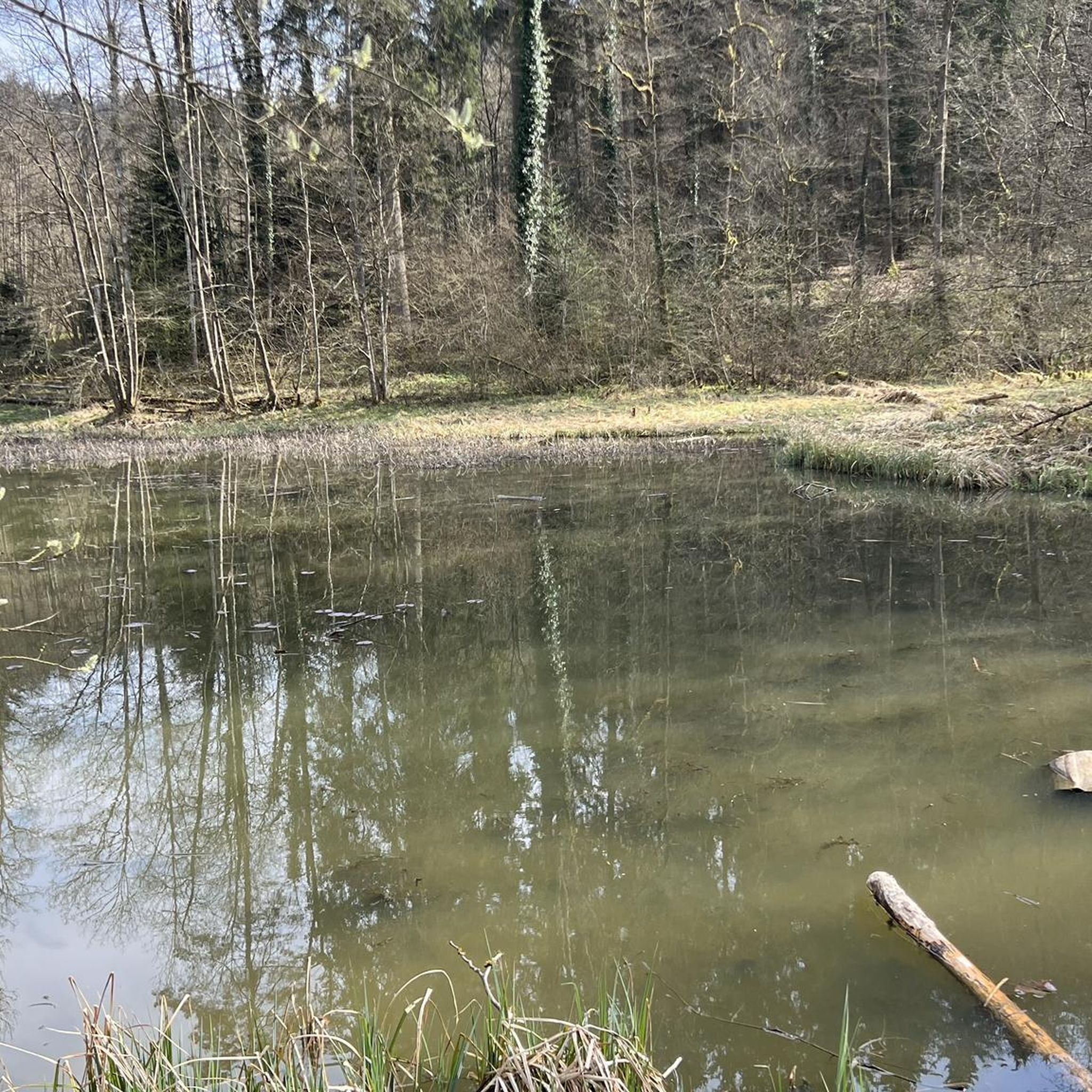
A "chemin de halage", in German "treidelpfad", which runs alongside the waterway right next to the bed of the river or canal, was an indispensable part of the transport infrastructure in earlier times. Before ships could move using motor power, horses ran along the bank and pulled the ship against the current. This was called "treideln", and this is how the "treidelpfads" got their name, which has been passed down to this day. Where these paths directly on the bank have been preserved, they are often used by hikers and cyclists.
0
0

do not hesitate to return to the main road then onto the canal at each crossing
0
0

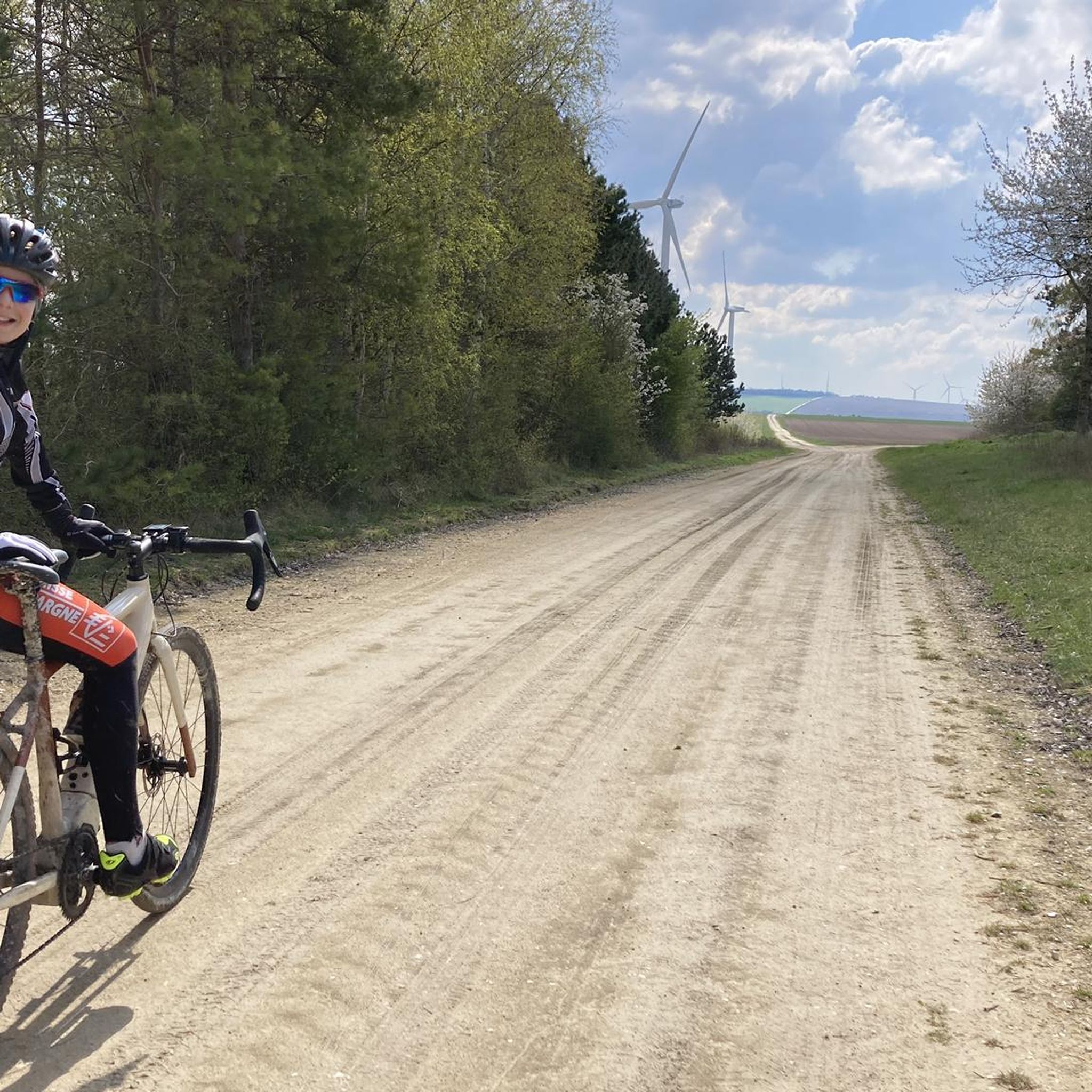
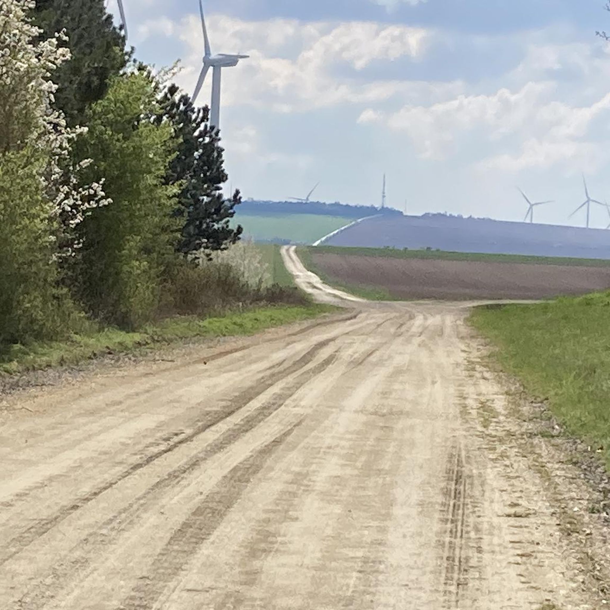
This path, which was used to tow barges from the shore, offers a variety of landscapes, from forests to fields. The path is largely flat and easy to follow, and you can enjoy views of the river and surrounding countryside.
3
0

Tarmac but pleasant path Possibility of taking parallel paths in the forest
0
0
Frequently Asked Questions
How many running routes are available around Saint-Benoît-Sur-Seine?
There are over 200 running routes in the Saint-Benoît-Sur-Seine area. These include a variety of options, from easy strolls to more challenging runs, catering to different fitness levels.
What kind of terrain can I expect on the jogging trails in Saint-Benoît-Sur-Seine?
The jogging routes around Saint-Benoît-Sur-Seine are characterized by flat, open landscapes typical of the Seine river basin. You'll find minimal elevation changes, making for generally easy running. Many paths follow towpaths along waterways, offering consistent surfaces and scenic views of the river, agricultural fields, and small villages.
Are there any easy or beginner-friendly running routes in the region?
Yes, Saint-Benoît-Sur-Seine offers 15 easy running routes perfect for beginners or those looking for a relaxed pace. These routes typically feature flat terrain and well-maintained paths, often along the tranquil towpaths.
Can I find moderate running trails around Saint-Benoît-Sur-Seine?
Absolutely. The majority of routes in the area, 170 to be exact, are classified as moderate. These often include longer distances or slightly varied terrain while still maintaining the region's generally flat profile. A good example is the Towpath loop from Saint-Lyé, which is 7.3 miles (11.8 km) long.
What are some interesting landmarks or attractions I might see while running near Saint-Benoît-Sur-Seine?
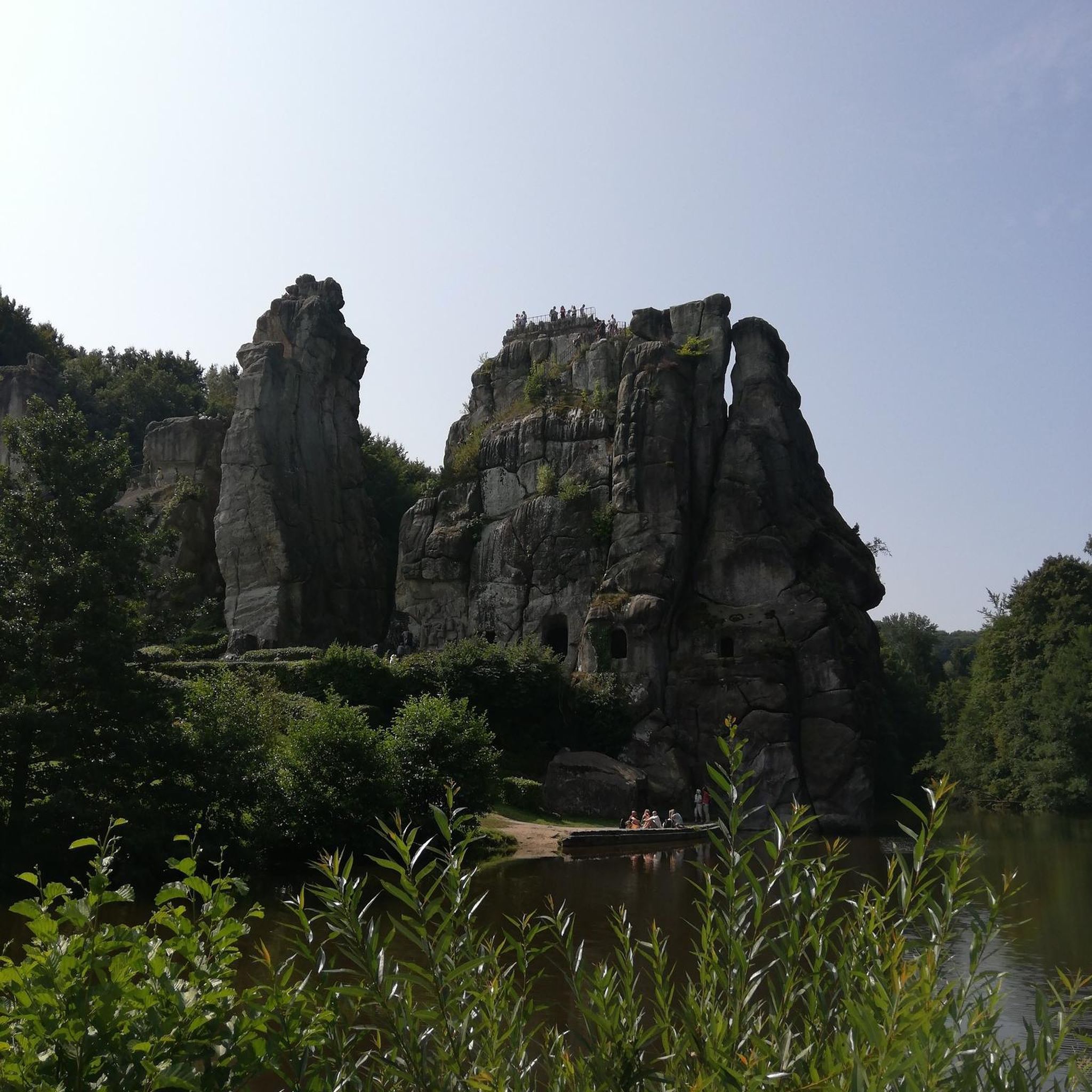
While running, you might encounter various points of interest in the wider region. Notable attractions include the historic Cathedral of Saint Peter and Saint Paul in Troyes, the charming Cats' Alley, and the beautiful Saint-Jean-au-Marché Church. These offer a glimpse into the local heritage and architecture.
Are there any circular running routes available?
Yes, many of the running routes in Saint-Benoît-Sur-Seine are circular, allowing you to start and finish at the same point. For instance, the Château de Payns loop from Payns is a moderate 5.3-mile (8.5 km) circular route.
What do other runners say about the trails in Saint-Benoît-Sur-Seine?
The running routes in Saint-Benoît-Sur-Seine are highly rated by the komoot community, with an average score of 4.5 stars from nearly 100 reviews. Runners often praise the tranquil riverside paths, the flat and consistent surfaces, and the pleasant rural scenery, making for an enjoyable running experience.
Are the running trails in Saint-Benoît-Sur-Seine suitable for families?
Given the predominantly flat terrain and numerous easy routes, many of the running trails are suitable for families. The towpaths, in particular, offer safe and accessible surfaces for a family run or walk, though specific routes should be checked for length and any minor obstacles.
Can I bring my dog on the running routes?
Generally, dogs are welcome on many of the public paths and towpaths in the Saint-Benoît-Sur-Seine area, provided they are kept on a leash and you clean up after them. It's always advisable to check local signage for any specific restrictions on individual routes or nature reserves.
What is a good running route for a longer, more challenging run?
For a more challenging run, consider the Running loop from Saint-Lyé. This route spans 9.5 miles (15.2 km) and is classified as difficult, offering a substantial workout through the local rural landscape.
Are there any running routes that offer views of the Seine River?
Many routes in the region utilize the towpaths along the Seine and its canals, providing continuous scenic views of the river and surrounding riparian zones. The Towpath loop from Payns is an excellent example, leading through beautiful riverside landscapes.
What is the best time of year to go running in Saint-Benoît-Sur-Seine?
Spring and autumn are generally ideal for running in Saint-Benoît-Sur-Seine, offering mild temperatures and pleasant scenery. Summer can be warm, especially in the open fields, so early morning or late evening runs are recommended. Winter runs are also possible, though paths may be damp or frosty.
Most popular routes around Saint-Benoît-Sur-Seine
Most popular attractions around Saint-Benoît-Sur-Seine

Get inspired with the komoot mobile app


Explore more
Browse the best Running Trails & Routes in other regions.
