The best running trails around Le Fau
4.6
(33)
2,151
runners
92
runs
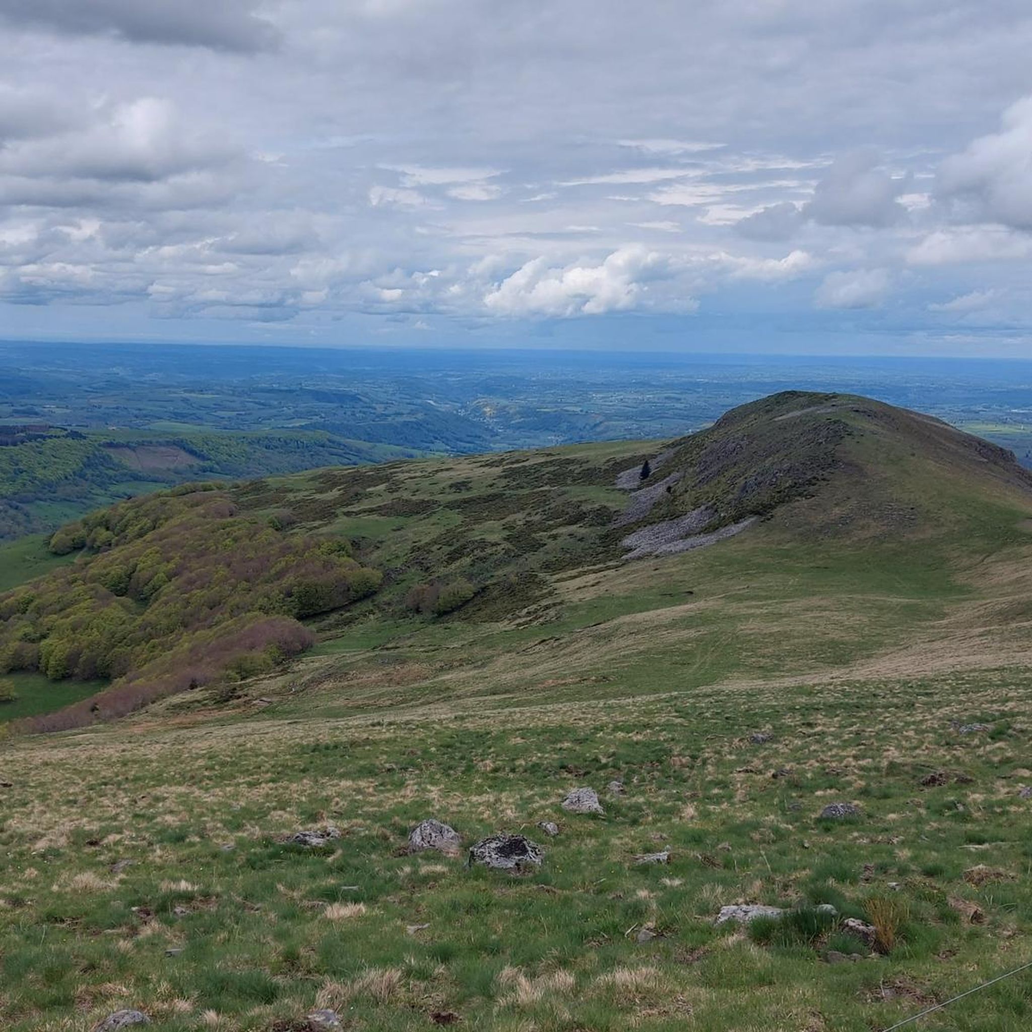
Jogging around Le Fau offers access to the diverse landscapes of the Aubrac plateau, characterized by expansive grazing lands and interspersed forest strips. The region's terrain includes both paved paths and more challenging trails, providing varied running experiences. The Rimeize river adds to the scenic beauty, while local architecture built from granite blocks blends into the rustic environment. This area provides a tranquil setting for outdoor pursuits, with routes catering to different fitness levels.
Best jogging routes around Le Fau
…Last updated: May 18, 2026
21
runners
16.6km
02:25
690m
690m
Hard run. Very good fitness required. Mostly accessible paths. Some sure footedness required.
8
runners
Hard run. Very good fitness required. Mostly accessible paths. Some sure footedness required.

Sign up for free
22
runners
20.1km
02:46
770m
770m
Hard run. Very good fitness required. Mostly accessible paths. Some sure footedness required.
25
runners
41.0km
06:09
1,940m
1,950m
Hard run. Very good fitness required. Sure-footedness, sturdy shoes and alpine experience required.
11
runners
13.5km
02:06
760m
760m
Hard run. Very good fitness required. Sure-footedness, sturdy shoes and alpine experience required.
Get access to more routes and recommendations from other explorers.
Sign up for free
Already have an account?
Our route recommendations are based on thousands of hikes, rides, and runs completed by other people on komoot.
Start today with a free account
Your next adventure awaits.
Login or Signup
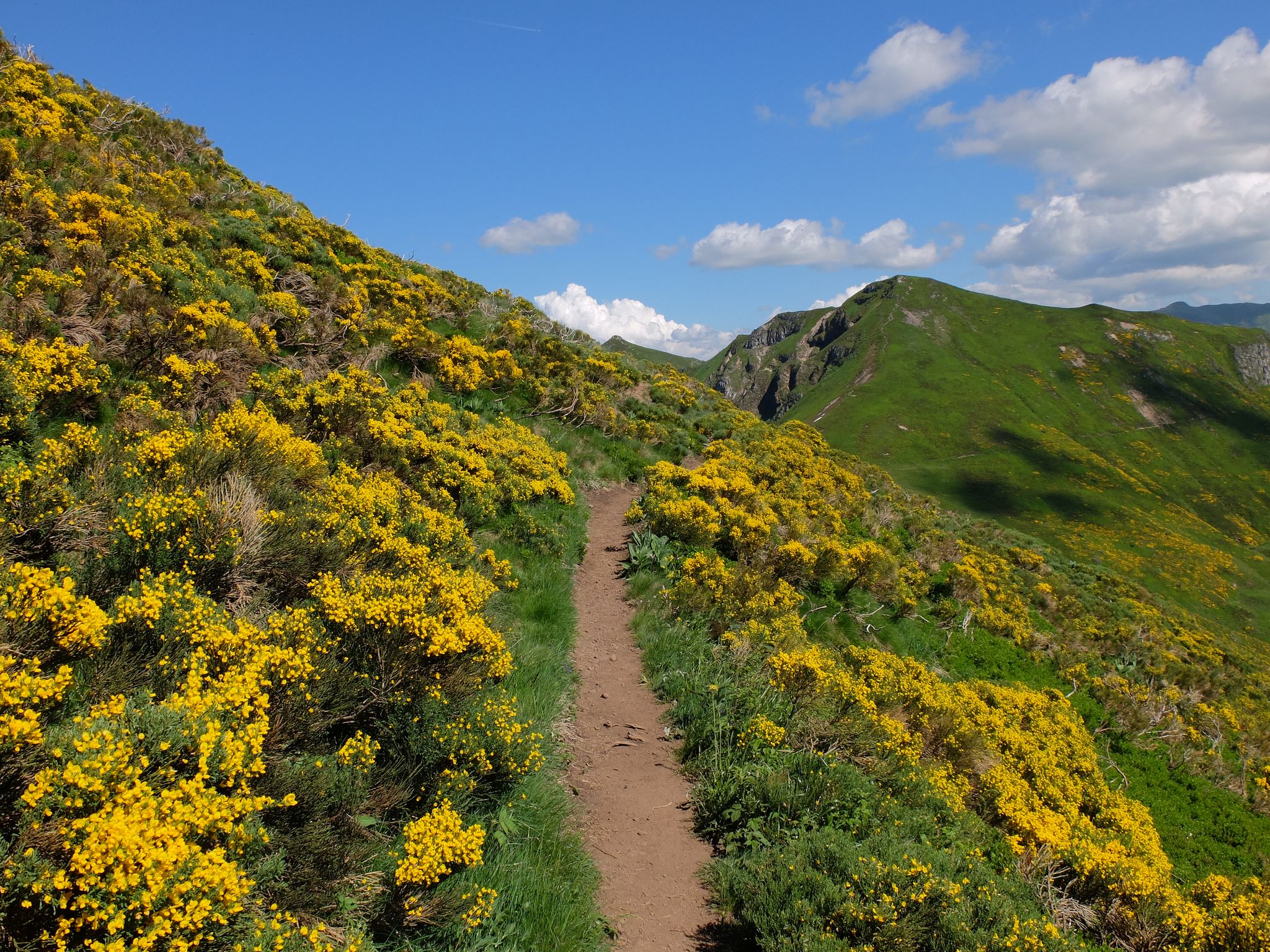
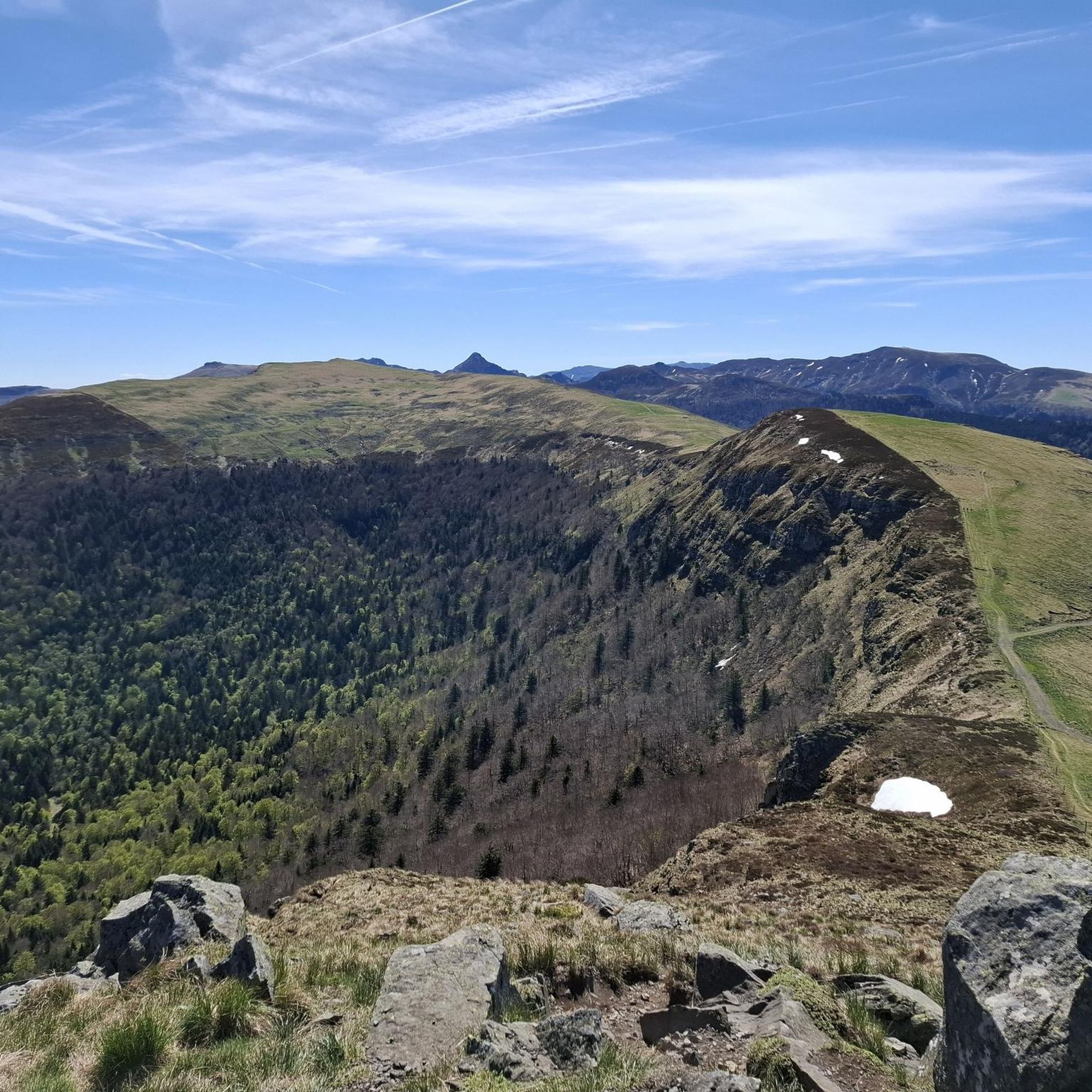
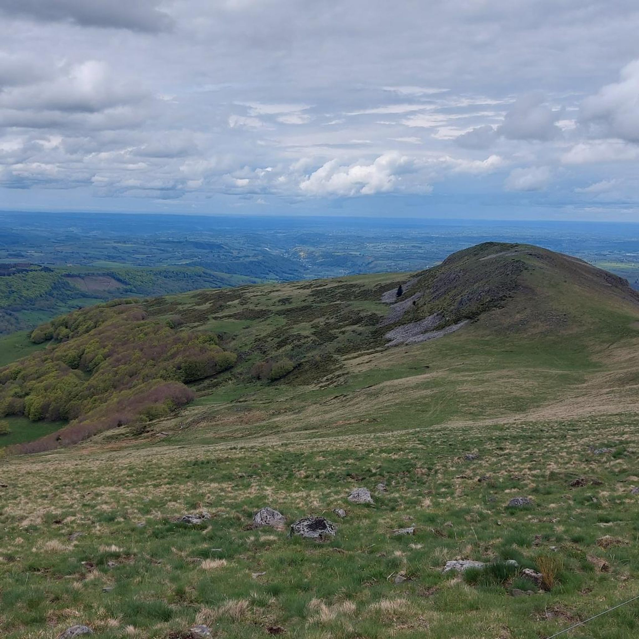

Other adventures around Le Fau

Tips from the Community


A beautiful, partly shady climb from Claux to the pass. Then the real challenge begins at Puy Mary.
0
0

A magnificent site where the panoramas are breathtaking!!!
0
0


The route takes you through incredibly beautiful scenery as you head up the valley.
1
0

The Haut-Cantal Puy Mary Nordic area offers more than 60 kilometres of snowshoe and cross-country ski trails. The area is accessible via two gateways: Lascourt and the Col de Serre, here at an altitude of 1,200 metres.
0
0

This pass is rather easy if we compare it with what awaits us, the Puy Mary
1
0

nice climb and good visibility over the valley
0
0
Frequently Asked Questions
How many running routes are available around Le Fau?
There are over 90 running routes in and around Le Fau, offering a wide variety of experiences. These range from easier paths to more challenging trails with significant elevation changes, catering to different fitness levels.
What kind of terrain can I expect on the jogging trails in Le Fau?
The terrain around Le Fau is diverse, reflecting its location on the Aubrac plateau. You'll find a mix of expansive grazing lands and forest strips. Some routes feature mostly paved paths suitable for all skill levels, while others present more challenging, unpaved terrain for experienced runners.
Are there any easy or moderate running routes for beginners or those seeking a less strenuous run?
Yes, while many routes are challenging, Le Fau does offer options for easier runs. There are 3 easy and 26 moderate routes available. For example, the Puy Violent loop from Monts du Cantal is a moderate 2.5-mile (4 km) route that provides a good option for a less strenuous outing.
What are some scenic viewpoints or natural features I can see while running near Le Fau?
The Aubrac plateau itself offers panoramic views that can stretch for 30 kilometers. You might encounter the Rimeize river, known for its trout, adding to the scenic beauty. For specific natural landmarks, consider routes that pass near highlights like the Puy Mary Summit or Puy Peyre-Arse, which offer breathtaking vistas.
Are there any circular running routes in the Le Fau area?
Yes, many of the running routes around Le Fau are designed as loops, allowing you to start and finish in the same location. An example is the Roc d'Hozières et Roc des Ombres – trail loop starting from Le Fau, a challenging 8.9-mile (14.3 km) trail.
Can I bring my dog on the running trails around Le Fau?
Generally, the natural areas around Le Fau, including the Aubrac plateau, are welcoming to dogs. However, it's always recommended to keep your dog on a leash, especially in grazing areas or near wildlife, and to check for any specific local regulations or protected zones along your chosen route.
Are there any family-friendly running options in Le Fau?
For families, it's best to look for the easier and shorter routes. While specific 'family-friendly' designations aren't always explicit, routes with less elevation gain and smoother paths would be most suitable. The region's diverse trails offer options for various activity levels, so selecting a shorter, moderate route would be a good starting point.
What is the best time of year to go running in Le Fau?
The Aubrac plateau, where Le Fau is located, offers beautiful conditions for running during the warmer months, typically from late spring through early autumn. During this time, the weather is generally pleasant, and the landscapes are vibrant. Winter can bring snow and colder temperatures, making some trails more challenging or inaccessible.
Are there any notable landmarks or points of interest near the running routes?
Beyond the natural beauty, the region has historical and architectural interest. The local architecture features houses built from granite blocks. The wider area is also traversed by sections of the famous Camino de Santiago. You might also find the Marchastel Bridge, a beautiful stone bridge over the Bés stream, within the natural landscape of Aubrac.
What do other runners say about the trails in Le Fau?
The running routes in Le Fau are highly rated by the komoot community, with an average score of 4.6 stars from over 30 reviews. Runners often praise the expansive landscapes of the Aubrac plateau and the variety of terrain, from gentle paths to more demanding trails with significant elevation.
How long are the typical running routes in Le Fau?
Running routes in Le Fau vary significantly in length. You can find shorter routes, such as the Puy Violent loop from Monts du Cantal at 2.5 miles (4 km), up to much longer and more challenging excursions like the Col de Redondet – Puy Mary loop from Le Mas, which spans 25.6 miles (41.2 km).
Most popular attractions around Le Fau

Get inspired with the komoot mobile app


Explore more
Browse the best Running Trails & Routes in other regions.
