The best walks and hikes around Bad Königshofen im Grabfeld
4.5
(2514)
8,660
hikers
111
hikes
Hiking around Bad Königshofen im Grabfeld offers diverse landscapes characterized by rolling hills, green meadows, and dense forests. Situated in the Rhön-Grabfeld region at the foot of the Haßberge Nature Park, the area provides varied topography for outdoor activities. Hikers can experience expansive views over the Grabfeld, the Thuringian land, the Rhön, and the Haßberge from various viewpoints. The region also features unique geological formations like the "Block fields" on Kleiner Gleichberg, which are of volcanic origin.
Best hiking trails…
Last updated: July 1, 2026
4.7
(41)
134
hikers
11.8km
03:07
110m
110m
Moderate hike. Good fitness required. Easily-accessible paths. Suitable for all skill levels.
4.8
(29)
82
hikers
5.47km
01:27
60m
60m
Easy hike. Great for any fitness level. Easily-accessible paths. Suitable for all skill levels.

Sign up for free
4.4
(15)
43
hikers
7.05km
01:56
110m
110m
Easy hike. Great for any fitness level. Easily-accessible paths. Suitable for all skill levels.
4.3
(14)
50
hikers
8.38km
02:19
150m
150m
Moderate hike. Good fitness required. Easily-accessible paths. Suitable for all skill levels.
4.7
(10)
31
hikers
Moderate hike. Good fitness required. Easily-accessible paths. Suitable for all skill levels.
Get access to more routes and recommendations from other explorers.
Sign up for free
Already have an account?
Our route recommendations are based on thousands of hikes, rides, and runs completed by other people on komoot.
Start today with a free account
Your next adventure awaits.
Login or Signup
Popular around Bad Königshofen im Grabfeld
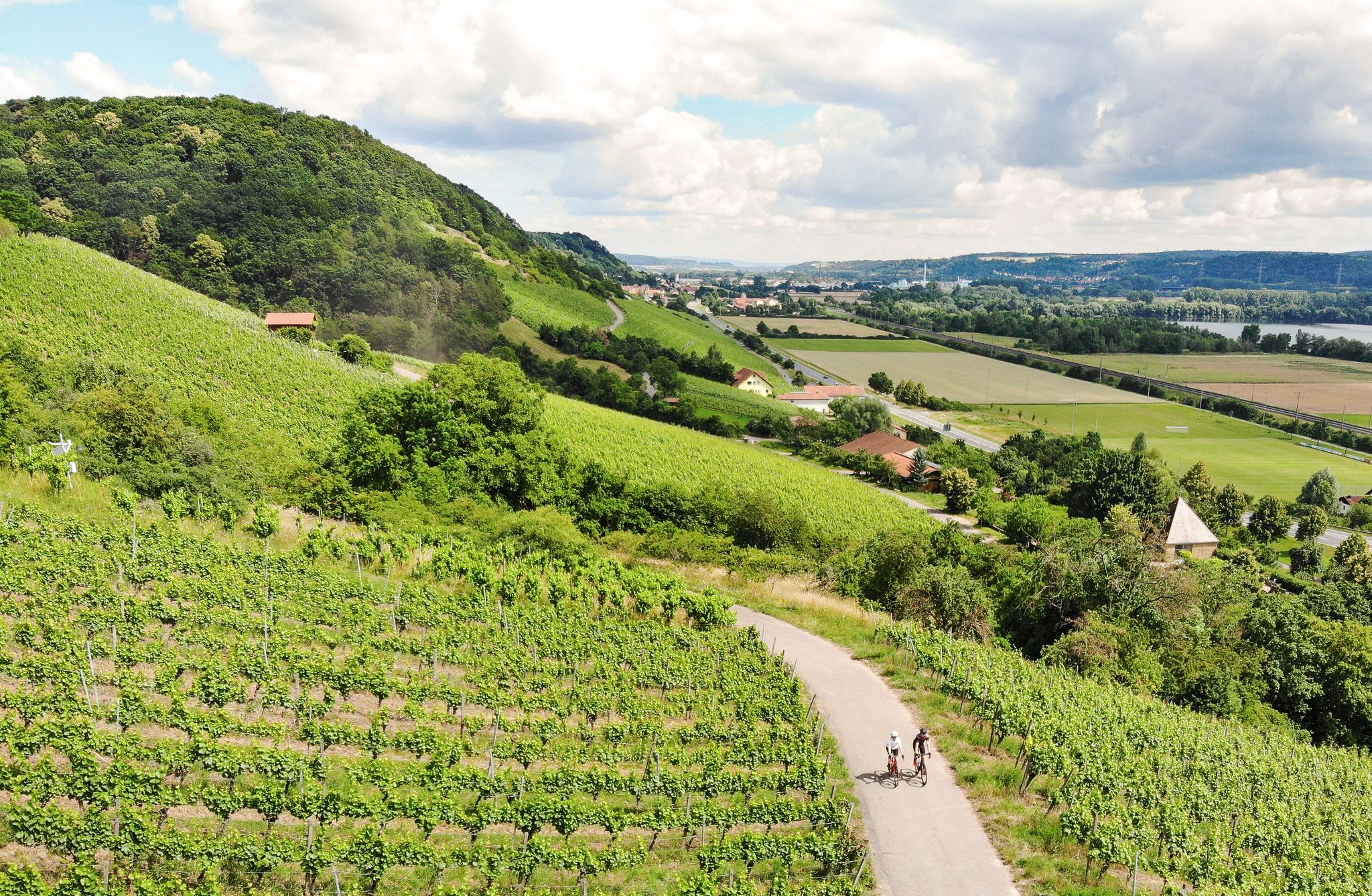
Castles, beer and wine — beautiful rides in the Hass mountains
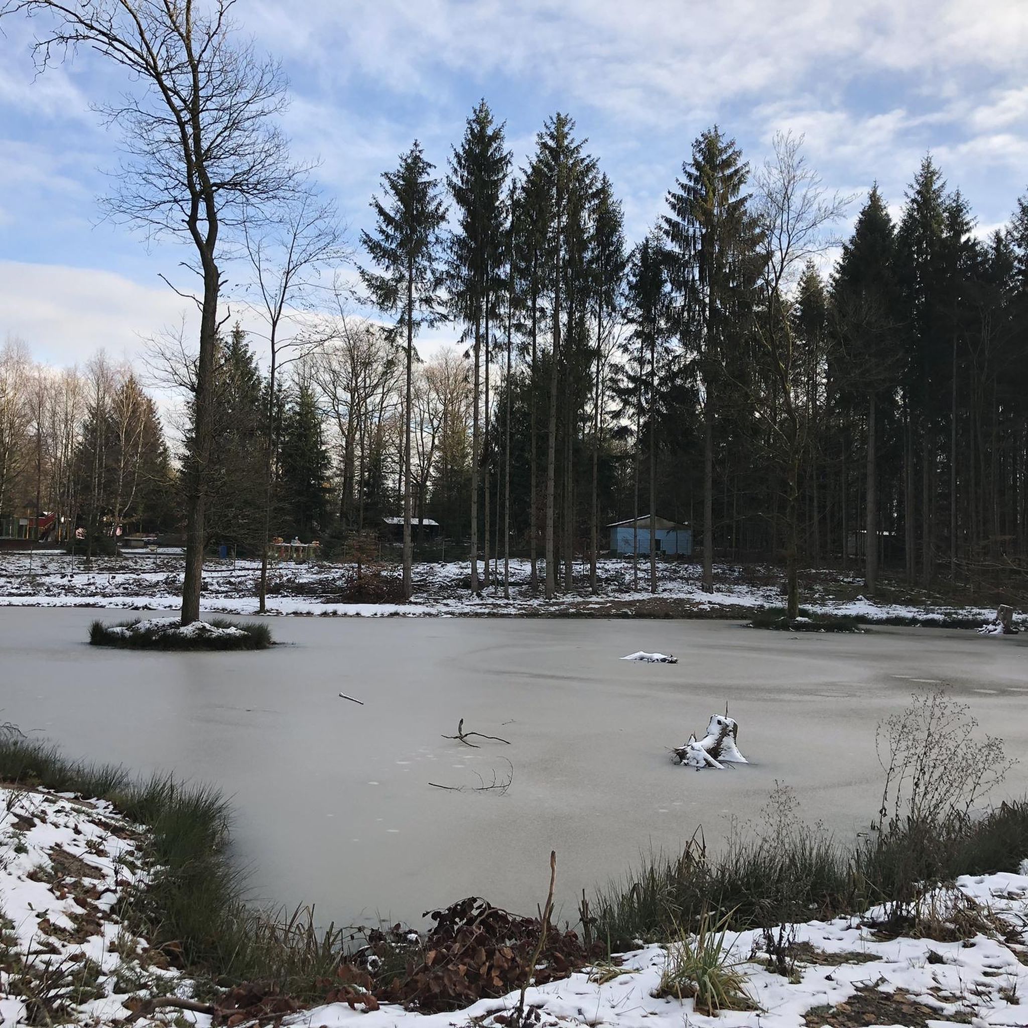
Cycling around Bad Königshofen im Grabfeld
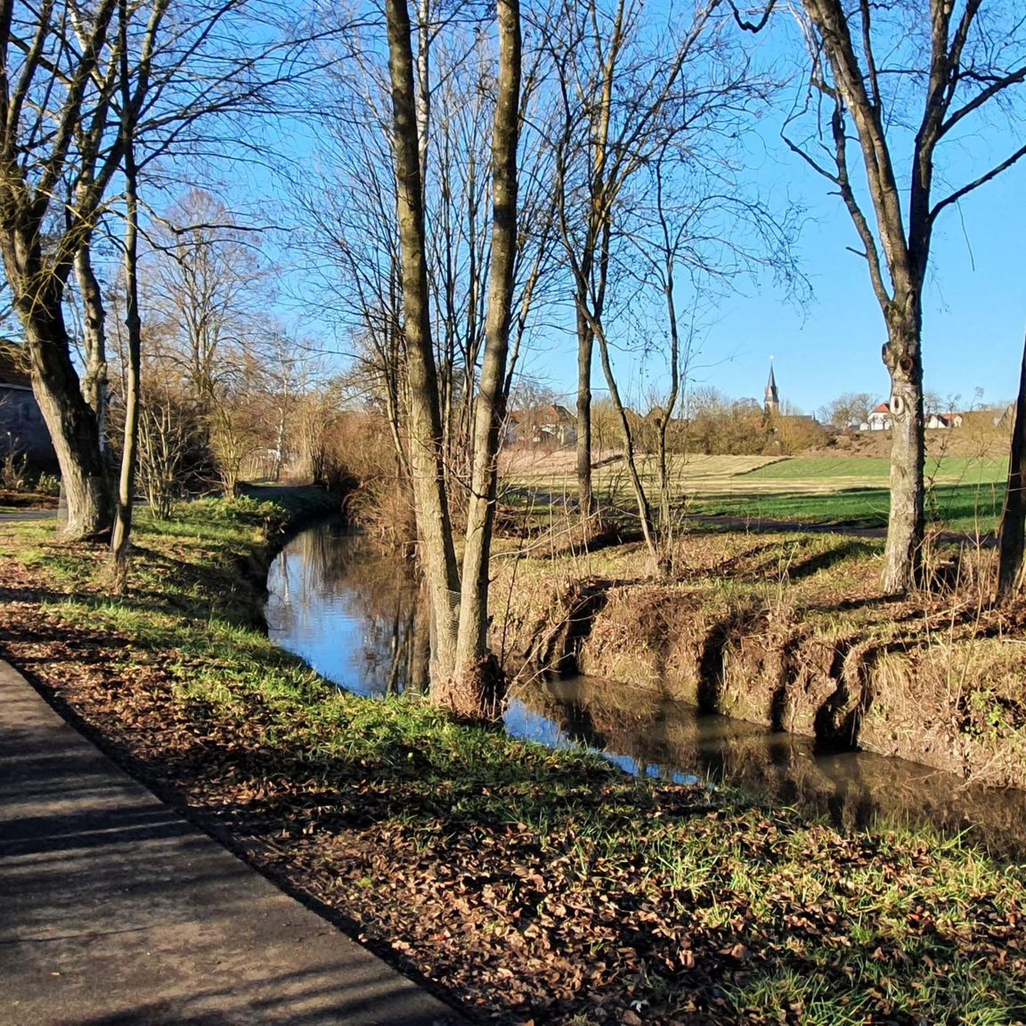
Road Cycling Routes around Bad Königshofen im Grabfeld
MTB Trails around Bad Königshofen im Grabfeld
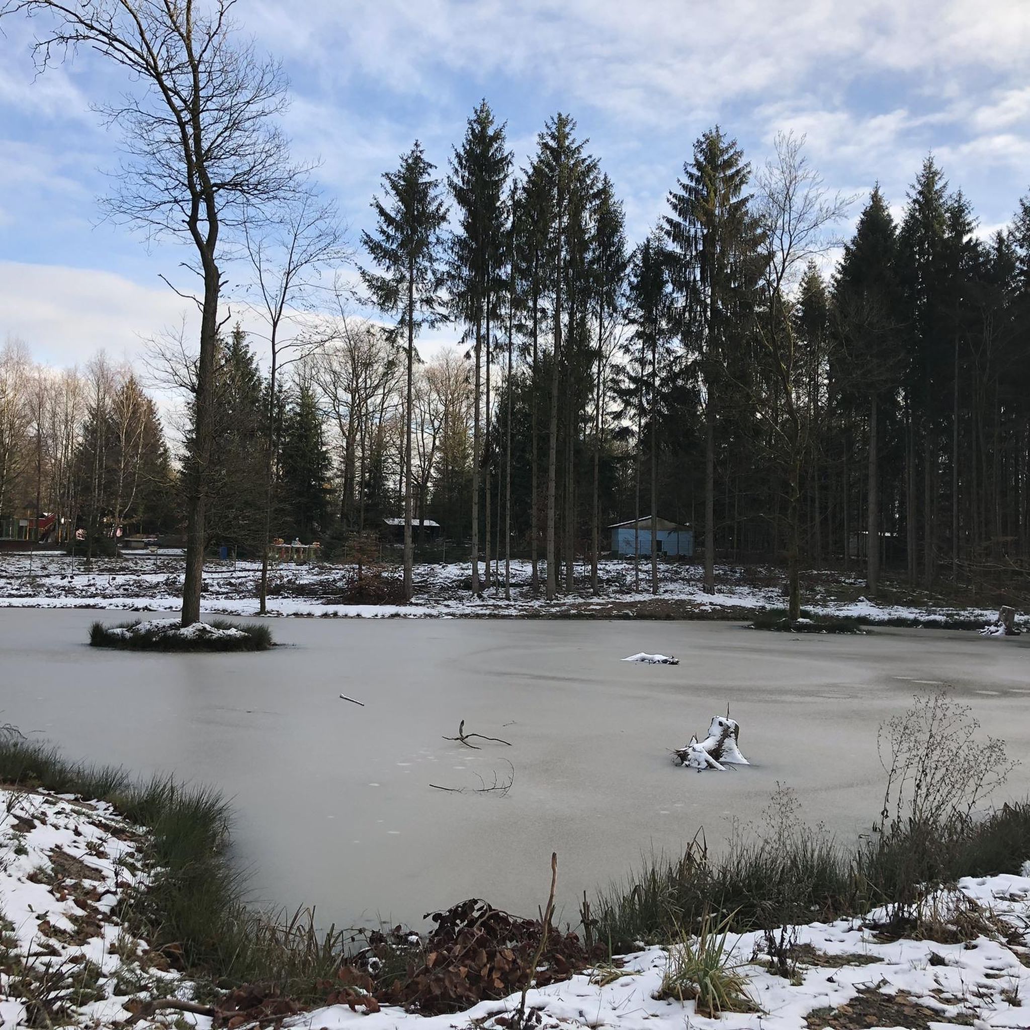
Running Trails around Bad Königshofen im Grabfeld
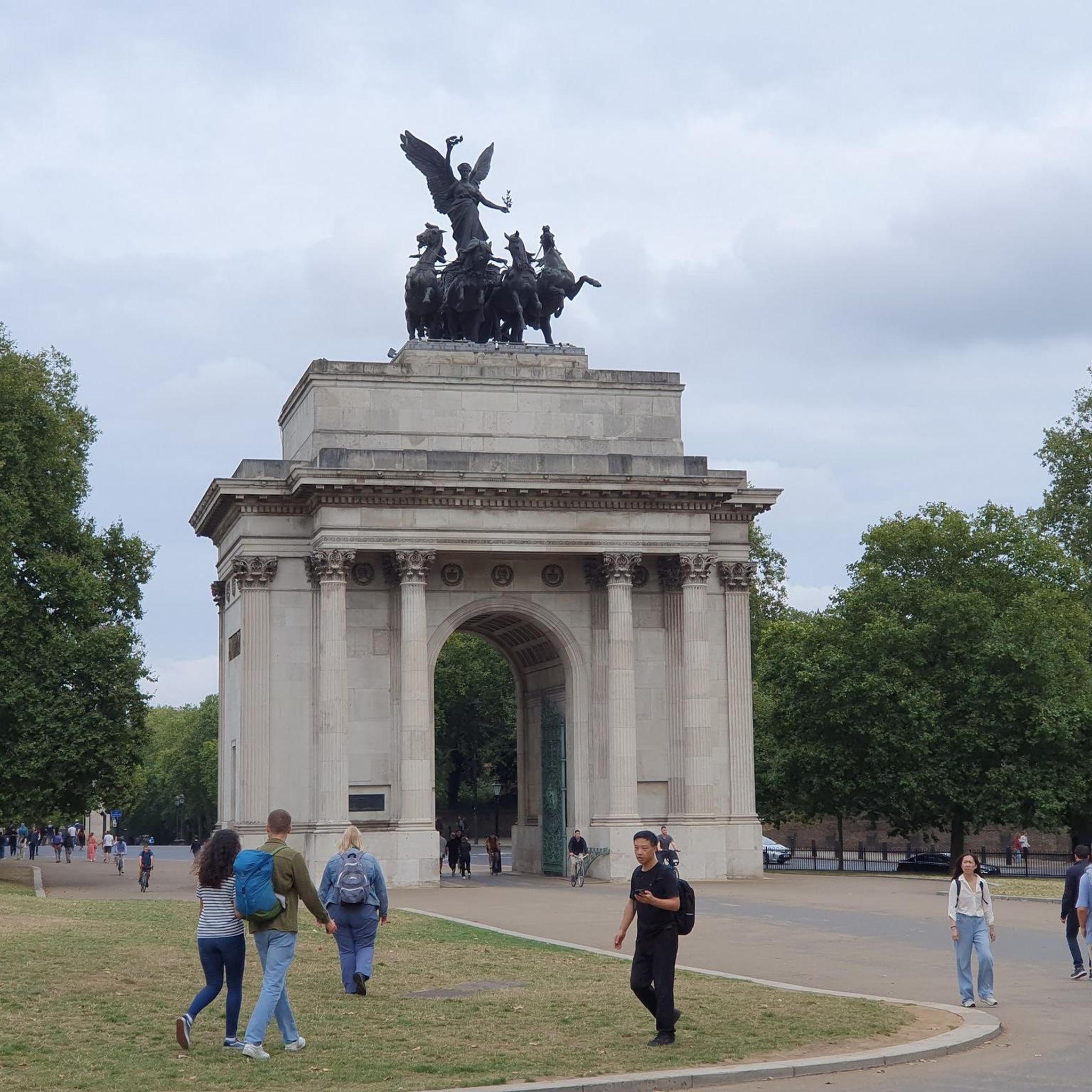
Gravel biking around Bad Königshofen im Grabfeld
Other adventures around Bad Königshofen im Grabfeld

Tips from the Community

The air in the pavilion has a salt content of about 25%, which moisturizes and positively influences the respiratory tract. I found it pleasant 😊
2
0


Very nice little fairytale forest for small children.
2
0

In about 3 meters, two trunks become one, curious
0
0

The moated castle is almost hidden away, accessible via a small road that branches off from Sulzdorf at Lederhecke. https://inges-reiseblog.de/wasserschloss-brennhausen/
5
0

Brennhausen Castle is privately owned and can only be viewed from the outside. https://grabfeld-grenzenlos.de/burg-brennhausen/
5
0

The Baunach is a nearly 54-kilometer-long right and northern tributary of the Main in Bavaria (Germany). Part of the floodplain landscape of the Baunach is a nature reserve. The first evidence of the river dates back to 1321 (Bunach). The defining word of the name Baunach comes from the Middle Low German word Būne for 'groyne, bank protection structure', the root word ach occurs in many water names and means water, body of water.[5] An alternative derivation is based on the Indo-European word bhu (swell). Accordingly, Baunach would have the overall meaning of swelling water. The Baunach rises in the Haßberge mountains, which belong to the Franconian Keuper-Lias region, and separates the actual Haßberge from the Haßberge Zeilberge of the Itz-Baunach hill country. The Baunach rises in the Sulzfeld Forest south of the Großer Breitenberg, northeast of the Laubhügel and east of the village of Leinach. The Baunach flows into the Main in Baunach. (Wikipedia)
0
0

The **Pilgrimage Church of the Birth of Mary** in Ipthausen is a fascinating example of the region's religious architecture and history. Here is some important information about this remarkable church: 1. **Location**: - **Address**: Kirche 3, 97631 Bad Königshofen i. Grabfeld 2. **Architecture**: - The church is built in the **Rococo style** and is characterized by a simple exterior and rich interior. - Particularly noteworthy are the **ceiling paintings** by **Georg Anton Urlaub**, which were created between **1746 and 1754**. 3. **Significance**: - The pilgrimage church is a **Roman Catholic** branch church and is a **listed monument**. - It is a popular place for pilgrimages and attracts many visitors who appreciate the spiritual atmosphere and artistic details of the church. 4. **Current use**: - The church is regularly used for **church services** and other religious events and is an important part of the community in Ipthausen.
3
0
Frequently Asked Questions
How many hiking trails are available in Bad Königshofen im Grabfeld?
There are over 110 hiking trails in Bad Königshofen im Grabfeld, offering a wide range of options for different skill levels and preferences. The komoot community has explored these routes over 1100 times.
What kind of terrain can I expect on hikes in Bad Königshofen im Grabfeld?
The region is characterized by diverse landscapes, including rolling hills, green meadows, and dense forests. You'll encounter varied topography, from gentle paths through spa gardens to more challenging routes leading to peaks. Some trails also feature unique geological formations like the basalt cones of volcanic origin on Kleiner Gleichberg.
Are there easy hiking trails suitable for beginners or leisurely strolls?
Yes, Bad Königshofen im Grabfeld offers many easy trails. Approximately 69 of the available routes are classified as easy. For a relaxed experience, consider the Ecce Homo Statue – Berghäuschen Viewpoint loop from Ipthausen, which is an easy 3.3-mile (5.4 km) path offering pleasant views.
What is the best time of year for hiking in Bad Königshofen im Grabfeld?
The best seasons for hiking in Bad Königshofen im Grabfeld are typically spring and autumn. During these times, the weather is generally pleasant, and nature is vibrant, offering beautiful scenery whether it's the fresh greenery of spring or the rich colors of autumn foliage.
Are there family-friendly hiking options in the area?
Absolutely. The region has attractions like the Sambachshof fairytale forest, which is popular with families. You can explore this area on the Sambachshof fairytale forest – Molkenbrünnlein loop from Nesselgrund, a 4.4-mile (7.1 km) trail that is often completed in under two hours.
Can I find circular hiking routes in Bad Königshofen im Grabfeld?
Yes, many of the hiking routes in Bad Königshofen im Grabfeld are circular, allowing you to start and end at the same point. Examples include the Brennhausen Castle – Reuthsee loop from Aub or the Nesselgrund Nature Reserve – Molkenbrünnlein loop from Nesselgrund.
What natural attractions can I discover while hiking?
The region is rich in natural beauty. You can visit the Nesselgrund Nature Reserve, known for its botanical treasures, or explore the unique volcanic formations at the Block fields on Kleiner Gleichberg. The Sulzfelder Lake and the Source of the Franconian Saale are also notable natural highlights.
Are there historical sites or castles to see on hikes?
Yes, the area features several historical points of interest. You can hike past impressive structures like Brennhausen Castle, or explore the Moated Castle Kleinbardorf, which often includes contemporary art and a sculpture garden. The region also has historical routes like the 'Kelten-Erlebnisweg'.
Are there hiking trails with scenic viewpoints?
Absolutely. The region is known for its breathtaking views. Specific viewpoints like the barrier-free 'Grabfeldblick' and 'Berghäuschen' near Ipthausen offer expansive vistas over the Grabfeld, the Thuringian land, the Rhön, and the Haßberge. The View of the Rhön – Berghäuschen Viewpoint loop from Bad Königshofen im Grabfeld is a great option for panoramic scenery.
What do other hikers enjoy the most about hiking in Bad Königshofen im Grabfeld?
The area is highly rated by the komoot community, with an average score of 4.4 stars from over 260 reviews. Reviewers often praise the diverse landscapes, from rolling hills and green meadows to dense forests, and the numerous panoramic viewpoints that offer stunning vistas of the surrounding region.
Are there any longer or more challenging hikes for experienced trekkers?
While most routes are easy to moderate, there are options for longer excursions. The region's varied topography, including a 'Mountain Trail' leading to a nearby peak, provides opportunities for more challenging hikes. You can find one difficult route among the 114 available trails, and 44 moderate routes, such as the Brennhausen Castle – Reuthsee loop from Aub.
Most popular routes around Bad Königshofen im Grabfeld
Most popular attractions around Bad Königshofen im Grabfeld

Get inspired with the komoot mobile app


Explore more
Browse the best Hikes in other regions.
