The best walks and hikes around Plouguerneau
4.5
(507)
3,036
hikers
106
hikes
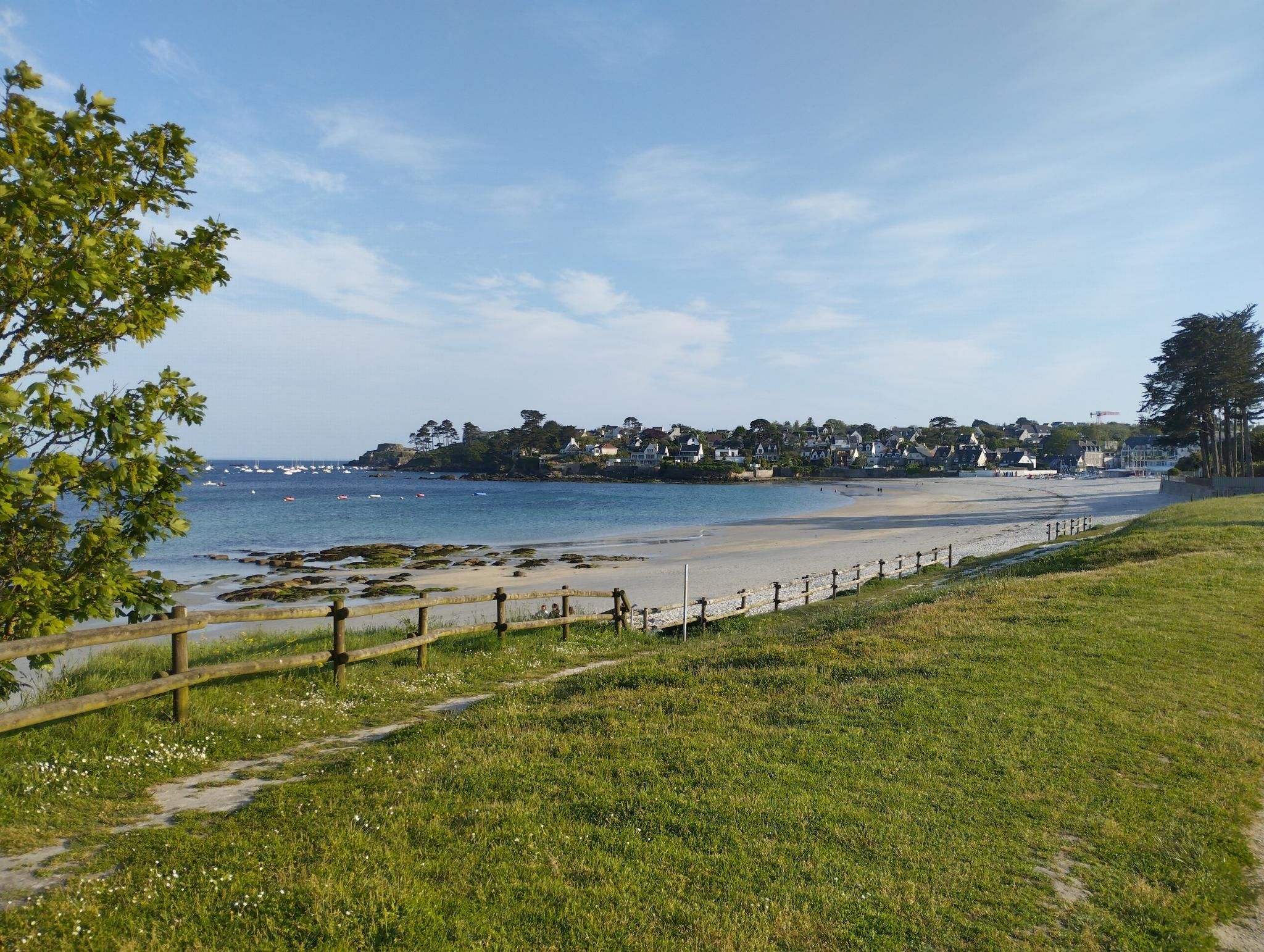
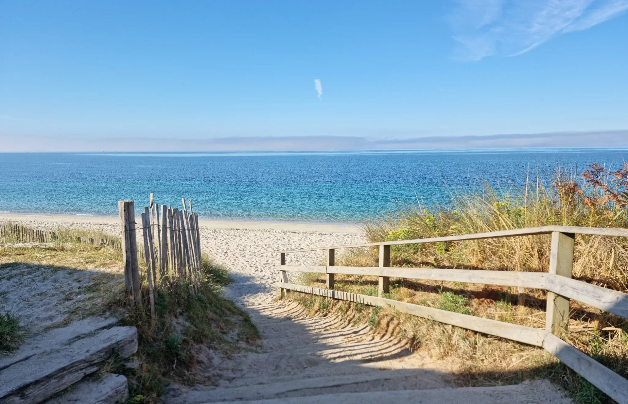
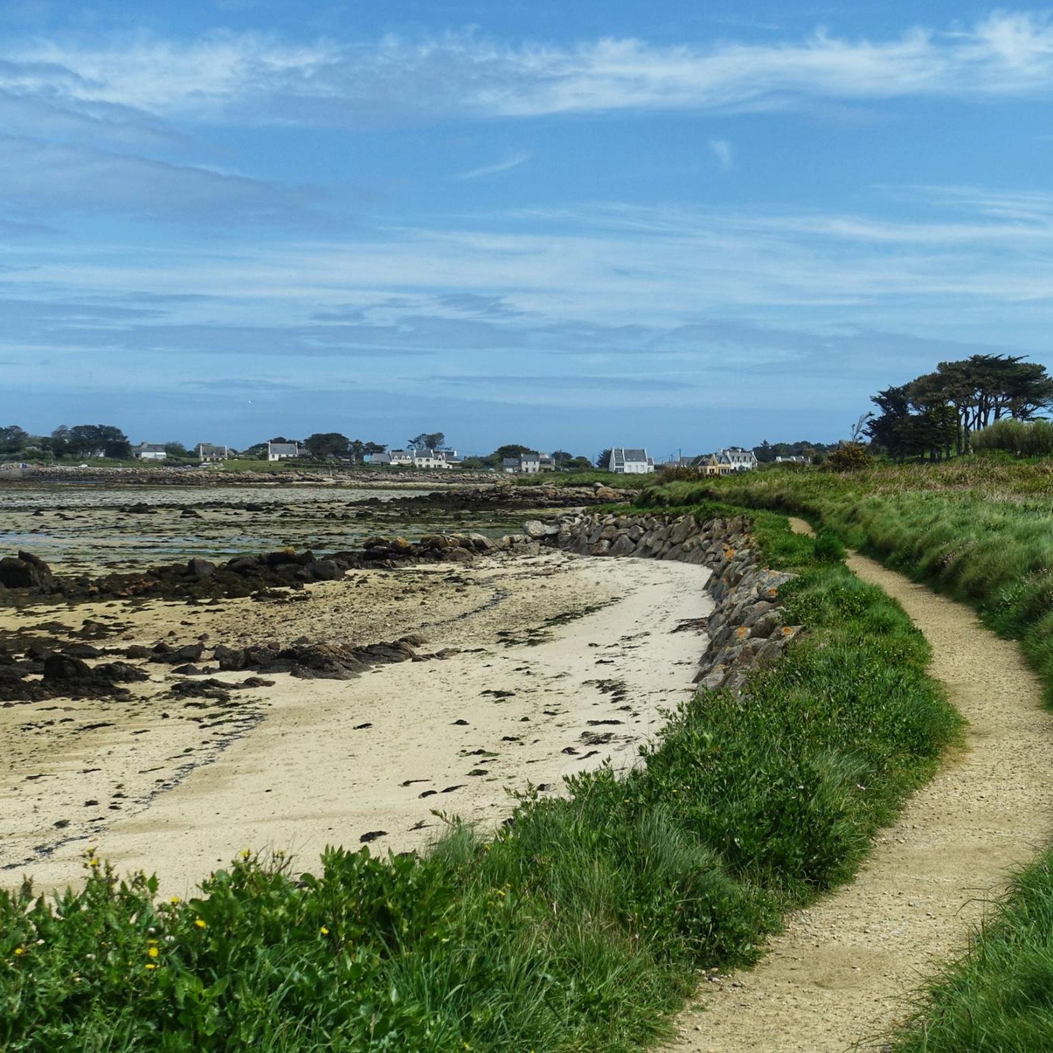
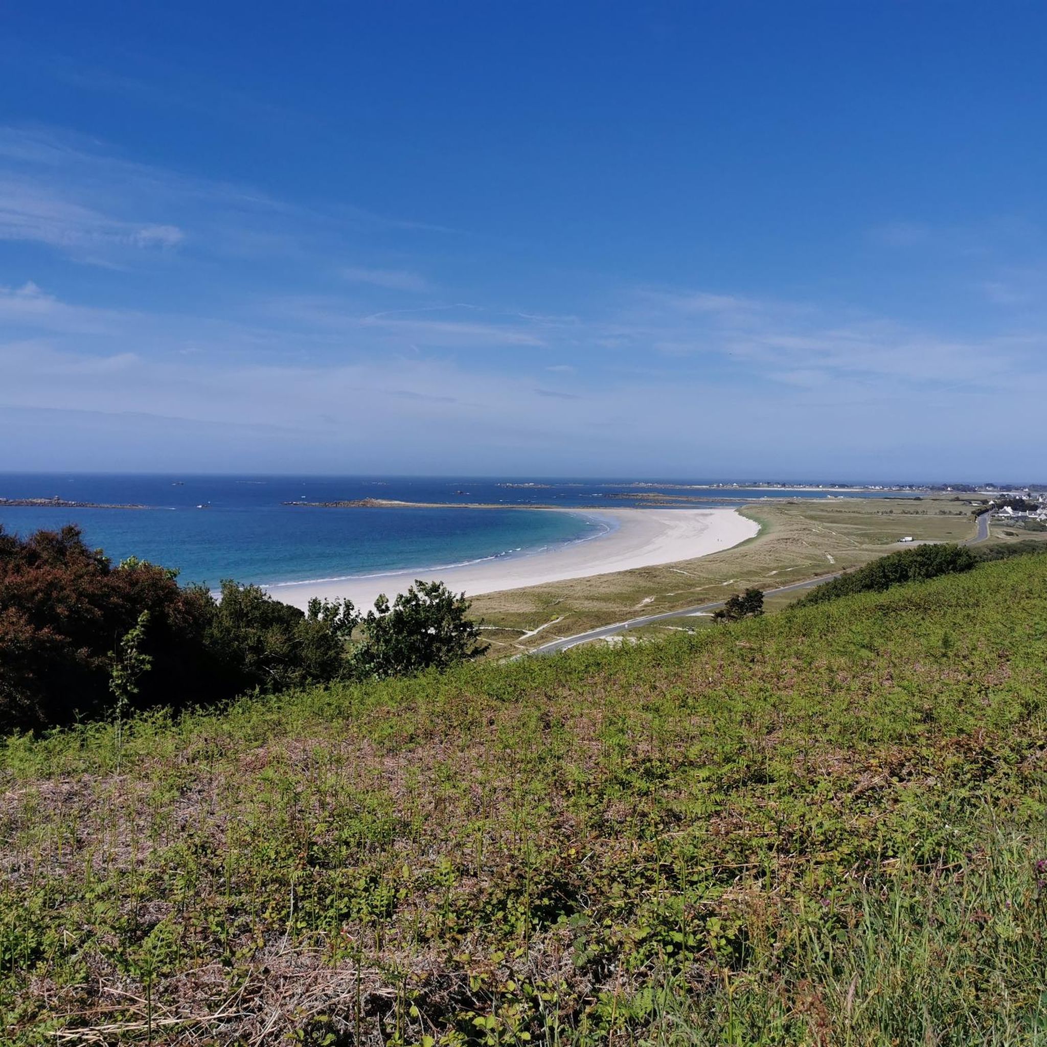
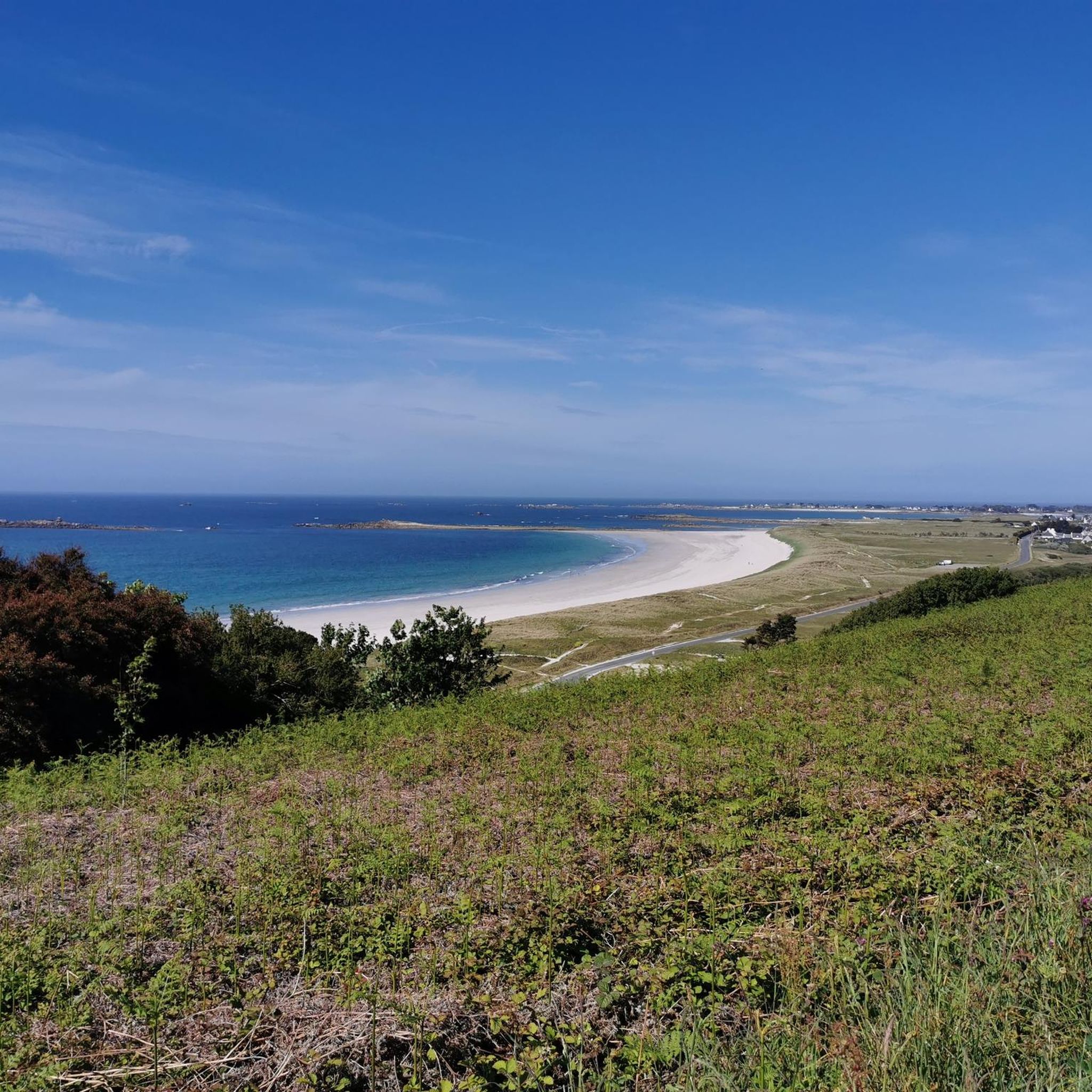
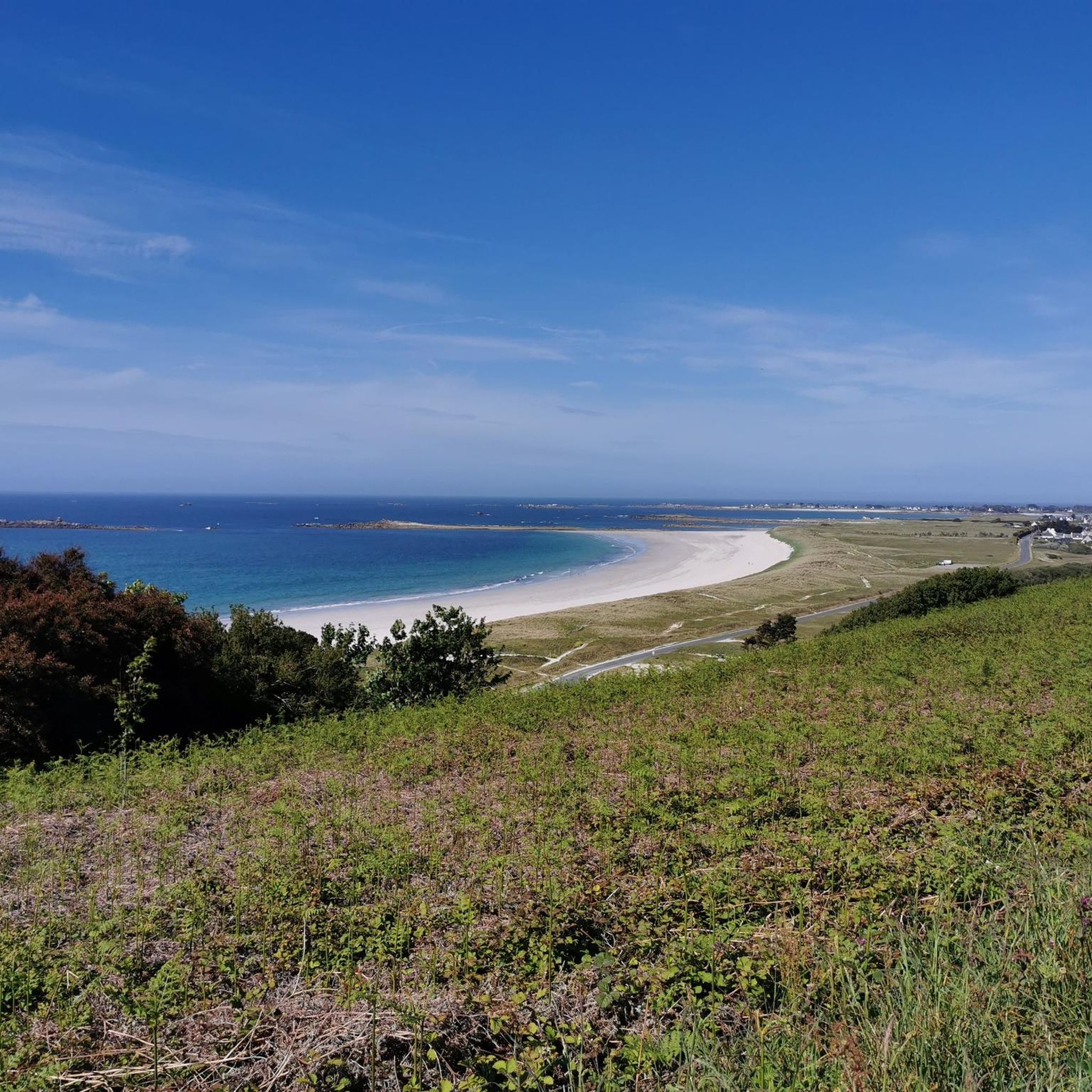
Hiking around Plouguerneau offers diverse coastal landscapes in Northern Finistère, characterized by 45 kilometers of varied coastline. The region features fine sandy beaches, dramatic cliffs, and the unique Aber Wrac'h and Aber Benoît estuaries. Hikers can explore areas with granite boulders, ancient oak trees, and significant natural habitats like the Sainte-Marguerite Peninsula dunes. These geographical elements provide a range of terrain for outdoor activities.
Best hiking trails around Plouguerneau
- The most popular hiking route is The White Beach – Île…
Last updated: July 9, 2026
4.8
(51)
283
hikers
Moderate hike. Good fitness required. Easily-accessible paths. Suitable for all skill levels.
4.7
(35)
203
hikers
Moderate hike. Good fitness required. Easily-accessible paths. Suitable for all skill levels.

Sign up for free
4.6
(28)
162
hikers
8.08km
02:04
20m
20m
Moderate hike. Good fitness required. Easily-accessible paths. Suitable for all skill levels.
4.8
(25)
209
hikers
Moderate hike. Good fitness required. Easily-accessible paths. Suitable for all skill levels.
4.3
(36)
107
hikers
5.75km
01:34
90m
90m
Easy hike. Great for any fitness level. Easily-accessible paths. Suitable for all skill levels.
Get access to more routes and recommendations from other explorers.
Sign up for free
Already have an account?
Our route recommendations are based on thousands of hikes, rides, and runs completed by other people on komoot.
Start today with a free account
Your next adventure awaits.
Login or Signup
Popular around Plouguerneau



Tips from the Community

A nice legend surrounds this bridge!
0
0


Very interesting and exciting place, nice little paths, not much going on and lots of shade, great!
0
0

Castel Ac'h is located directly on the GR 34 coastal hiking trail. Just a few steps away is the Pointe du Castel Ac'h, a well-known vantage point offering views of the archipelago and its lighthouses. The Île Vierge lighthouse, the tallest in Europe, is particularly worth seeing.
1
0

Pure deceleration, arrive, slow down and enjoy the view of the sea and the coast.
0
0
Pure acceleration, arrive, slow down and enjoy the view of the sea and the coast.
0
0

very beautiful surroundings, at low tide and high tide
0
0
Frequently Asked Questions
How many hiking trails are available in Plouguerneau?
Plouguerneau offers a wide selection of hiking opportunities, with over 80 trails available. These routes cater to various skill levels, ranging from easy strolls to more challenging hikes.
What kind of terrain can I expect on Plouguerneau's coastal paths?
The coastal paths in Plouguerneau feature diverse terrain, including fine sandy beaches, dramatic steep cliffs, and areas with granite boulders. You'll also encounter unique estuaries like the Aber Wrac'h and Aber Benoît, where ancient oak trees cling to small cliffs. Some sections, particularly near estuaries, can be muddy and require careful timing with tides.
Are there any family-friendly hiking options in Plouguerneau?
Yes, Plouguerneau has several options suitable for families. Many coastal walks are relatively flat and offer beautiful scenery. For example, an easy walk at low tide allows access to Île Wrac'h, providing lovely views of nearby islands. The Natura 2000 Zone of Guissény (Curnic Marsh) is also a great spot for nature walks with children, offering opportunities for wildlife spotting.
Can I bring my dog on the hiking trails in Plouguerneau?
While many trails in Plouguerneau are generally dog-friendly, it's always recommended to keep dogs on a leash, especially in protected natural areas like the Natura 2000 Zone of Guissény, and near livestock or wildlife. Always check local signage for specific restrictions on beaches or nature reserves.
Are there any circular hiking routes in Plouguerneau?
Yes, many of the popular hiking routes in Plouguerneau are circular, allowing you to start and end at the same point. An example is the Grève du Vougot – Vougot Beach loop from Le Vougot, which is a moderate 9.3 km trail.
What are some notable landmarks or attractions I can see while hiking in Plouguerneau?
Plouguerneau's trails offer access to several significant landmarks. You can hike to the Meneham Village and Guardhouse, a preserved historical site among granite formations. The View over the Aber Wrac'h is another highlight, and the Devil's Bridge (Pont Krac'h) offers an exceptional route along the riverbanks. The famous Île Vierge lighthouse, Europe's tallest stone lighthouse, is also visible from many coastal paths and can be reached on foot at low tide.
Is public transport available to reach hiking trailheads in Plouguerneau?
Public transport options to specific trailheads in Plouguerneau can be limited, as is common in many coastal rural areas. It is advisable to check local bus schedules for routes connecting to the main villages or points of interest. Many hikers prefer to drive and utilize available parking near popular starting points.
Where can I find parking for hiking trails in Plouguerneau?
Parking is generally available near popular trailheads and coastal access points in Plouguerneau. Look for designated parking areas in villages like L'Aber Wrac'h, near beaches, or at specific viewpoints such as Kastell Ac'h. Always ensure you park legally and respectfully.
What is the best time of year to go hiking in Plouguerneau?
The best time to hike in Plouguerneau is typically from spring through early autumn (April to October). During these months, the weather is generally milder and more stable, making coastal walks and explorations of the estuaries more enjoyable. Summer offers the warmest temperatures, but spring and autumn provide pleasant conditions with fewer crowds.
What do other hikers enjoy most about the trails in Plouguerneau?
The trails in Plouguerneau are highly rated by the komoot community, with an average score of 4.5 stars from over 500 reviews. Hikers frequently praise the diverse coastal landscapes, the unique beauty of the Abers (estuaries), and the stunning views of landmarks like the Île Vierge lighthouse. The variety of terrain, from sandy beaches to dramatic cliffs, is also a common highlight.
Are there any protected natural areas to explore in Plouguerneau?
Yes, Plouguerneau is home to the Natura 2000 Zone of Guissény (Curnic Marsh), a 12-hectare protected site. This area features a polder, marsh, and pond, providing a unique habitat for rare orchids, dragonflies, and numerous bird species. It's an excellent location for nature observation and tranquil walks.
What are the difficulty levels of hiking trails in Plouguerneau?
Plouguerneau offers a range of hiking difficulties. Out of 88 available routes, 47 are classified as easy, 32 as moderate, and 9 as difficult. This variety ensures that there are suitable options for hikers of all experience levels, from leisurely coastal strolls to more challenging treks.
Are there any hikes that involve crossing estuaries or tidal areas?
Yes, the unique Aber Wrac'h and Aber Benoît estuaries are central to Plouguerneau's hiking experience. Routes like the Pointe du Castel Ac’h – Path to Île Wrac'h loop from Kergongar provide access to Île Wrac'h at low tide. It's crucial to check local tide times before embarking on these routes to ensure safe passage.
Most popular routes around Plouguerneau
Most popular attractions around Plouguerneau

Get inspired with the komoot mobile app


Explore more
Browse the best Hikes in other regions.
