The best walks and hikes around Lampaul-Ploudalmézeau
4.7
(1367)
8,630
hikers
216
hikes
Hiking around Lampaul-Ploudalmézeau offers diverse coastal landscapes in the Finistère department of Brittany, France. The region features dramatic coastlines along the Iroise Sea, significant dune systems, and the notable Aber Wrac'h estuary. Trails often follow sections of the GR®34, providing varied terrain from sandy beaches to rugged paths. The area also includes inland routes and historical sites, contributing to a rich hiking experience.
Best hiking trails around Lampaul-Ploudalmézeau
- The most popular hiking route is Plage des Sables Blancs – Plage des Trois Moutons loop from Lampaul-Ploudalmézeau, a 5.8 miles (9.3 km) trail that takes 2 hours 22 minutes to complete. This moderate route explores the visually striking dune systems and beaches.
- Another top favourite among local hikers is Plage des Trois Moutons – Saint-Pabu Liberation Memorial loop from Saint-Pabu, a difficult 17.9 miles (28.8 km) path. This longer trail offers extensive coastal views and varied terrain along the Iroise Sea.
- Local hikers also love the Tréompan Bay – Port de Portsall loop from Lampaul-Ploudalmézeau, a 6.7 miles (10.8 km) trail leading through coastal villages and bays, often completed in about 2 hours 47 minutes.
- Hiking around Lampaul-Ploudalmézeau is defined by coastal paths, extensive dune systems, and the unique abers (estuaries). The network offers options for various ability levels, from easy strolls to more challenging treks.
- The routes in Lampaul-Ploudalmézeau are highly rated by the komoot community with an average score of 4.7 stars from more than 1,200 reviews. More than 7,900 hikers have used komoot to explore Lampaul-Ploudalmézeau's varied terrain.
Last updated: July 5, 2026
5.0
(9)
97
hikers
Moderate hike. Good fitness required. Easily-accessible paths. Suitable for all skill levels.
4.6
(9)
74
hikers
Hard hike. Very good fitness required. Easily-accessible paths. Suitable for all skill levels.

Sign up for free
4.6
(21)
152
hikers
10.8km
02:47
50m
50m
Moderate hike. Good fitness required. Easily-accessible paths. Suitable for all skill levels.
5.0
(3)
36
hikers
Easy hike. Great for any fitness level. Easily-accessible paths. Suitable for all skill levels.
4.7
(3)
21
hikers
Moderate hike. Good fitness required. Easily-accessible paths. Suitable for all skill levels.
Get access to more routes and recommendations from other explorers.
Sign up for free
Already have an account?
Our route recommendations are based on thousands of hikes, rides, and runs completed by other people on komoot.
Start today with a free account
Your next adventure awaits.
Login or Signup

Tips from the Community

Only the two stone beams form a cross in its simplest form, yet in a highly exposed location overlooking the bay that extends inland here. And of course, this small sacred monument—like all crosses encountered by hikers along the way—is an essential Christian symbol. It stands for the memory of his crucifixion, but at the same time also for the resurrection of Jesus Christ. The following quote comes from the important French order founder and doctor of the Church, Saint Bernard of Clairvaux: + "With us on earth there is His memory, but in the kingdom of heaven is His presence: This presence is the joy of those who have already attained salvation. The memory is our consolation, we who are still wanderers, traveling toward the Fatherland."
0
0

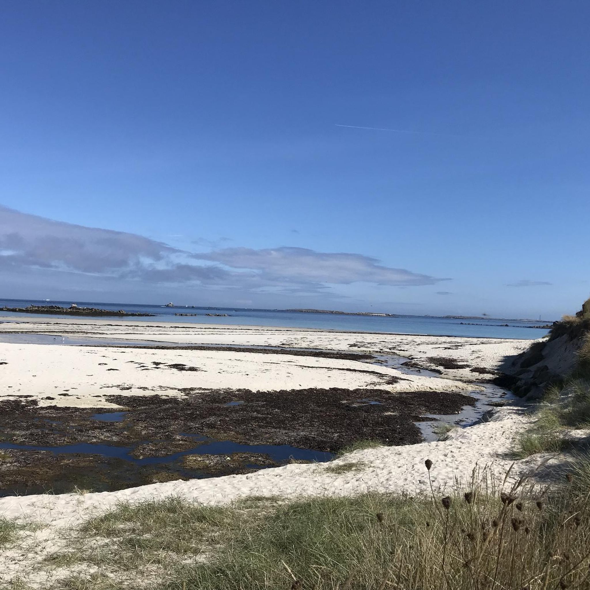
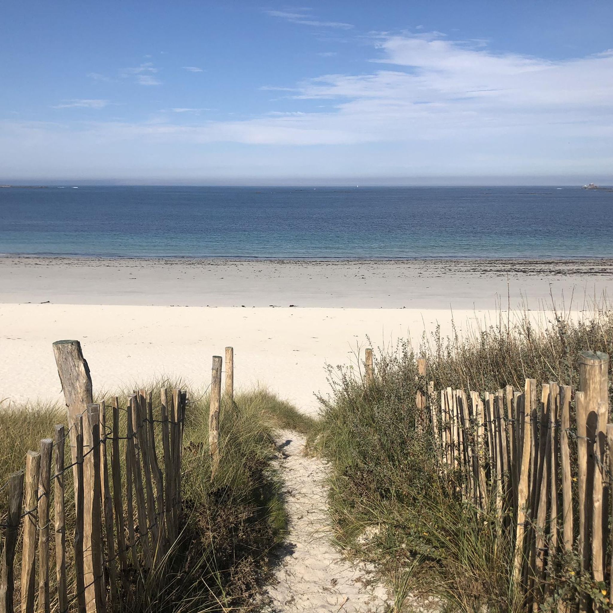
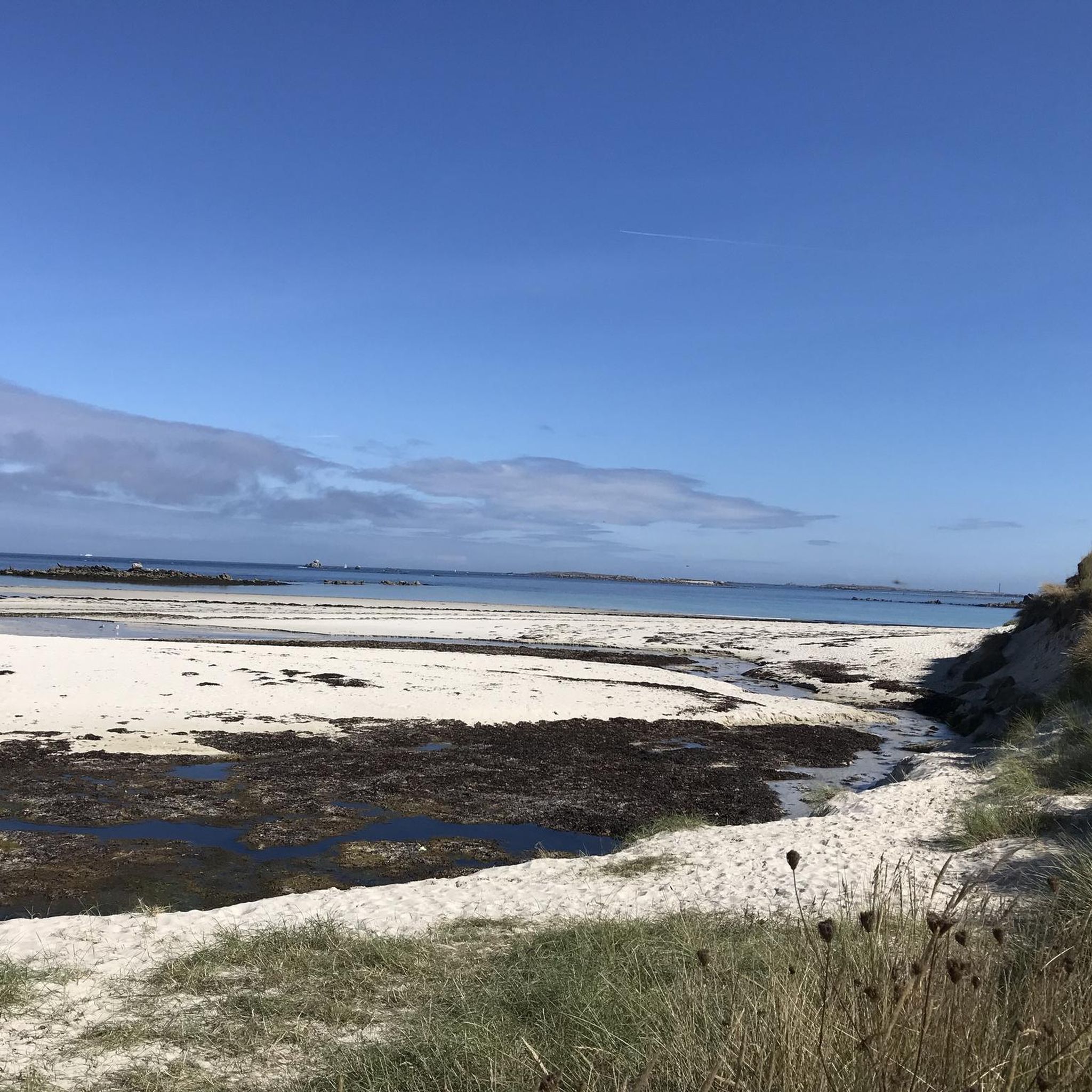
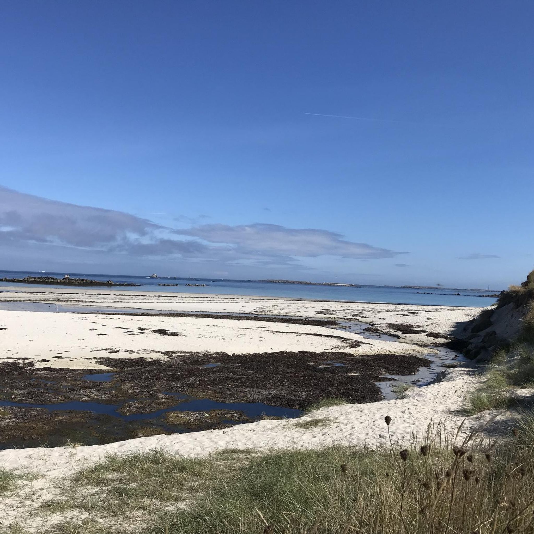
A beautiful beach with superb sand. Kitesurfers can often be seen on the western side of the beach, and the bathing beach is on the eastern side.
0
0

always moving to learn about history
0
0

Portsall Harbor is located in a small natural cove. The shallow rocky bottoms make navigation demanding, even dangerous in bad weather. This geography coupled with a storm led to the grounding of the Amoco Cadiz, an oil tanker, in 1978, causing the largest oil spill in history. Today, the water has regained its beautiful colors and the port is a very pleasant place to stroll, enjoy a beer or eat while enjoying the pleasant view.
2
0

Surrounded by dunes, Trois Moutons beach is a long strip of fine sand. During azure summers, it shines like pretty diamonds. Its clear waters invite you to swim. Many surfers come here to enjoy the swell.
0
0
The Guilliguy site is home to megaliths around 8,000 years old. Listed as a historic monument since 1921, there is a covered walkway, a menhir and a cross. The view over Portsall Bay is pleasant.
0
0

Portsall is part of the commune of Ploudalmézeau, in the north-west of Finistère on the Iroise Sea. Its Breton name is composed of the Breton terms "porz", which means "port", and "sall", "castle" in Old Breton, hence the overall meaning of "castle port". On the quays of the fishing port; the memory of the Amoco Cadiz is still present. This tanker ran aground on March 16, 1978 on a stormy day, against the rocks surrounding Portsall. Which caused one of the largest oil spills of the 20th century. Fortunately, since then, life has returned to normal in this coastal town, renowned for the diversity of its rocks.
1
0

Beach with blockhouses (sometimes hidden), known for its legends around the serpent and toad rocks.
0
0
Frequently Asked Questions
How many hiking trails are available in Lampaul-Ploudalmézeau?
There are over 200 hiking routes in Lampaul-Ploudalmézeau, offering a wide variety of experiences. These include coastal paths, routes through dune systems, and trails exploring the unique abers (estuaries) of the region.
What is the best time of year to go hiking in Lampaul-Ploudalmézeau?
Lampaul-Ploudalmézeau's coastal climate makes it suitable for hiking throughout much of the year. Spring and autumn offer pleasant temperatures and fewer crowds, while summer is ideal for enjoying the beaches and clear waters, though trails can be busier. Winter hikes can be dramatic with rugged coastal views, but require appropriate gear for potentially windy and wet conditions.
Are there any easy hiking trails suitable for beginners or families in Lampaul-Ploudalmézeau?
Yes, Lampaul-Ploudalmézeau offers a good selection of easy trails. With over 110 easy routes, you can find gentle walks suitable for families or those new to hiking. These often feature flat terrain along beaches or through coastal villages, allowing for a relaxed experience.
Are there challenging hikes for experienced trekkers in the area?
Absolutely. For experienced trekkers, there are several challenging routes, including the Plage des Trois Moutons – Saint-Pabu Liberation Memorial loop from Saint-Pabu. This difficult 17.9-mile (28.8 km) path offers extensive coastal views and varied, rugged terrain along the Iroise Sea, providing a demanding and rewarding experience.
What kind of natural features can I expect to see while hiking in Lampaul-Ploudalmézeau?
Hikers in Lampaul-Ploudalmézeau will encounter a dramatic and diverse coastline along the Iroise Sea, featuring magnificent dune systems, particularly around the Plage des Trois Moutons and Plage des Sables Blancs. The region is also known for its unique abers (estuaries), with the Aber Wrac'h being a significant natural attraction. Many trails follow sections of the famous GR®34 coastal footpath.
Are there any circular hiking routes in Lampaul-Ploudalmézeau?
Yes, many of the trails in Lampaul-Ploudalmézeau are circular, allowing you to start and end at the same point. An example is the Plage des Sables Blancs – Plage des Trois Moutons loop from Lampaul-Ploudalmézeau, which explores the visually striking dune systems and beaches.
What historical or cultural points of interest can be found along the trails?
Beyond natural beauty, the region offers historical insights. You can explore the prehistoric site of the Pont ar Bleiz covered passage or visit the Chapel of Kerlanou, built upon a fountain. The Guilliguy Dolmen Viewpoint also presents historical intrigue amidst natural beauty. Coastal villages like Portsall offer charming spots to explore.
Are there any specific viewpoints or scenic spots worth visiting?
The coastline itself offers stunning sea views and panoramas. Notable viewpoints include the View over the Aber Wrac'h, providing expansive vistas of the estuary. The trails also offer views of numerous islets, including Île Vierge with its imposing lighthouse.
What do other hikers enjoy most about hiking in Lampaul-Ploudalmézeau?
The area is highly rated by the komoot community, with an average score of 4.7 stars from over 1,200 reviews. Hikers often praise the stunning coastal scenery, the diverse terrain ranging from sandy beaches to rugged paths, and the well-maintained trails that offer both challenging treks and easy strolls.
Are there options for longer, multi-day hikes in the region?
While many routes are day hikes, Lampaul-Ploudalmézeau is a significant stage on the famed GR®34, also known as the "Sentier des Douaniers." This long-distance coastal footpath allows for extended treks along the rugged Breton coast, offering opportunities for multi-day adventures by connecting various sections.
Can I find routes that combine historical sites with natural landscapes?
Yes, many routes seamlessly blend history with nature. For example, the Mosaic Eye in Brittany – Atlantic Wall WW ll. Standard construction loop from Ploudalmézeau combines coastal hiking with historical elements from World War II, offering a unique perspective on the region's past amidst its beautiful scenery.
Most popular routes around Lampaul-Ploudalmézeau
Most popular attractions around Lampaul-Ploudalmézeau

Get inspired with the komoot mobile app


Explore more
Browse the best Hikes in other regions.
