The best cycling routes around Montbrand
4.1
(32)
425
riders
30
rides
Touring cycling routes around Montbrand traverse a landscape characterized by significant elevation changes and mountainous terrain. The region features numerous cols and peaks, indicating a challenging environment for cyclists. Water features such as ponds and rivers are also present, offering varied scenery. This area is well-suited for long distance touring bike routes, often involving sustained climbs and descents.
Best touring cycling routes around Montbrand
- The most popular touring cycling route is Hameau de Saint-Marcellin – Iscles Pond loop from Aspres-sur-Buëch…
Last updated: May 20, 2026
4.0
(2)
65
riders
50.4km
03:21
740m
740m
Hard bike ride. Very good fitness required. Mostly paved surfaces. Suitable for all skill levels.
4.2
(6)
39
riders
70.2km
04:23
760m
760m
Hard bike ride. Very good fitness required. Mostly paved surfaces. Suitable for all skill levels.

Sign up for free
4.3
(3)
58
riders
58.9km
04:26
1,480m
1,480m
Hard bike ride. Very good fitness required. Mostly paved surfaces. Suitable for all skill levels.
5.0
(1)
22
riders
115km
07:51
2,010m
2,010m
Hard bike ride. Very good fitness required. Mostly paved surfaces. Suitable for all skill levels.
5.0
(1)
16
riders
Hard bike ride. Very good fitness required. Mostly paved surfaces. Suitable for all skill levels.
Get access to more routes and recommendations from other explorers.
Sign up for free
Already have an account?
Our route recommendations are based on thousands of hikes, rides, and runs completed by other people on komoot.
Start today with a free account
Your next adventure awaits.
Login or Signup
Tips from the Community

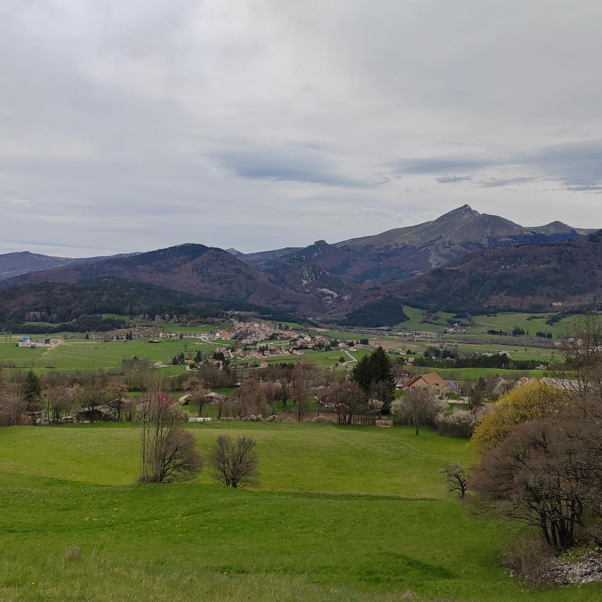
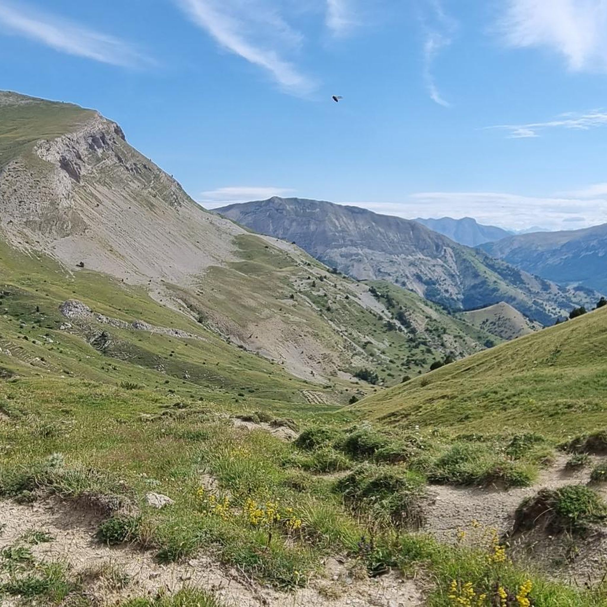
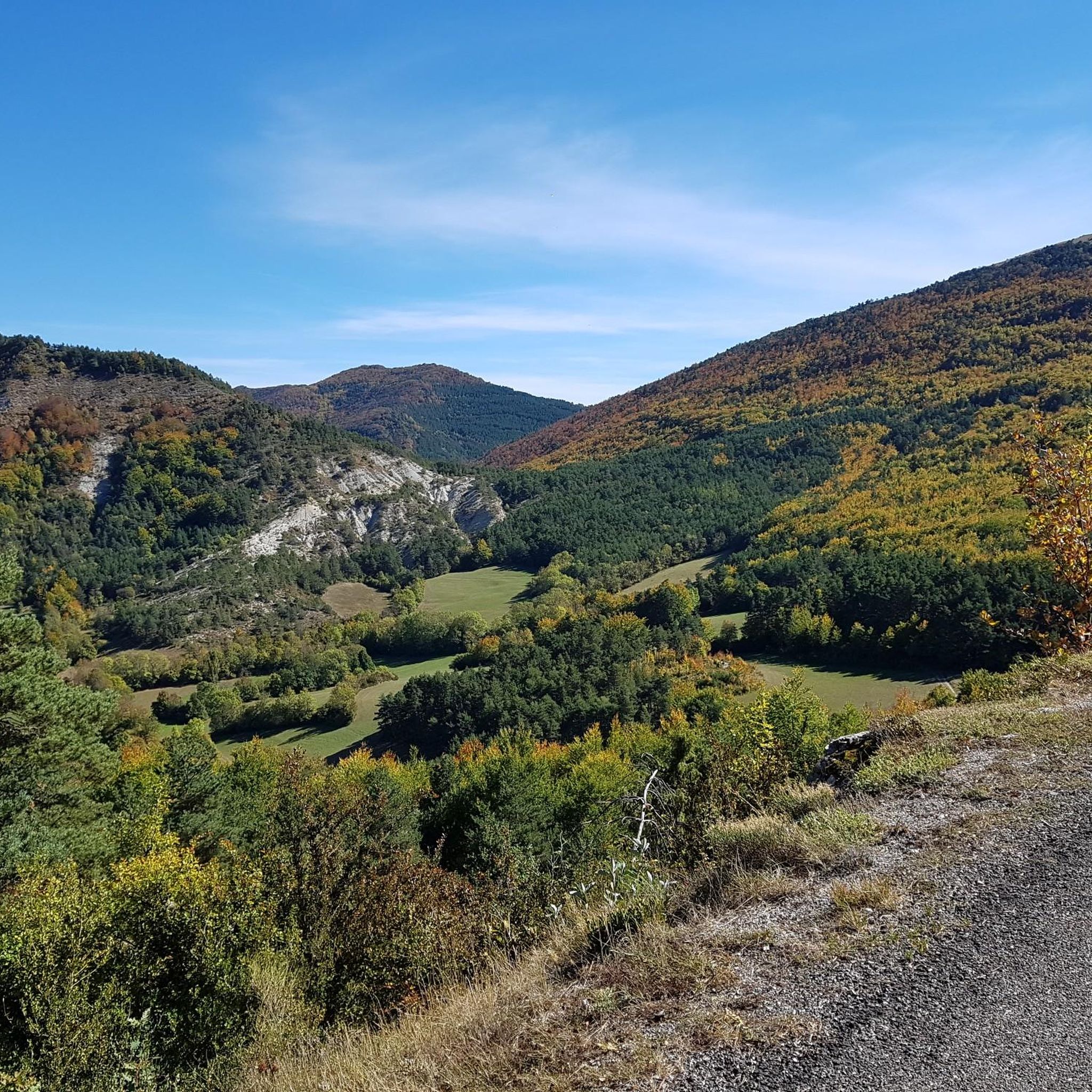
Spectacular view at the junction with the Route des Aiguilles leading onto a track overlooking the gorge.
0
0


magnificent little walk to do
0
0

Sublime village and magnificent roads around.
0
0

On the edge of the Vercors plateaus, there are superb mountain roads that combine elevation and charming landscapes. The D 539 is one of them.
1
0

Great landscape
0
0

To reach the pass, it takes around fifteen kilometers from the Oule valley. The slope becomes steeper from Montmorin where it is around 6%. The road winds between the mountains of Chauvet and Maraysse. The position offers a splendid view of these two mountains.
1
0

mythical village to see absolutely
1
0
Frequently Asked Questions
What is the general difficulty level for touring cycling routes around Montbrand?
Touring cycling in Montbrand is predominantly challenging, with 27 out of 31 routes rated as difficult. The landscape features significant elevation changes, numerous cols, and mountainous terrain, making it ideal for experienced cyclists seeking sustained climbs and descents. There are a few moderate and easy options available for those looking for a less strenuous ride.
Are there any long-distance touring bike routes in the Montbrand area?
Yes, Montbrand is well-suited for long-distance touring. Many routes involve substantial distances and elevation gains. For example, the Route de Sigottier – Col des Tourette (1126 m) loop from Aspres-sur-Buëch covers over 115 km with more than 2000 meters of ascent, offering a significant challenge for long-distance riders.
What kind of terrain can I expect on touring bike trails near Montbrand?
The terrain around Montbrand is characterized by mountainous landscapes, featuring numerous cols and peaks. You'll encounter significant elevation changes, sustained climbs, and descents. Routes often navigate through varied rural landscapes, river valleys, and offer high-elevation viewpoints. Some routes, like the Col de Carabès – Gravel along the river loop from La Beaume, also include gravel sections along rivers.
Are there circular touring bike trails available in Montbrand?
Yes, many of the touring cycling routes around Montbrand are designed as loops, allowing you to start and finish at the same point. Examples include the popular Hameau de Saint-Marcellin – Iscles Pond loop from Aspres-sur-Buëch and the challenging View of Pic de l'Aigle – Col de Grimone (1318 m) loop from Lus-la-Croix-Haute.
What are some notable viewpoints or natural attractions along the touring routes?
The mountainous terrain offers numerous scenic viewpoints and natural attractions. You can experience the Col de Grimone (1318 m), which is part of a popular loop, or explore the dramatic Gorges des Gâts. Many routes also feature ponds and river valleys, providing varied scenery throughout your ride.
What do other touring cyclists say about the routes in Montbrand?
The touring cycling routes in Montbrand are highly regarded by the komoot community, holding an average rating of 4.35 stars from over 36 reviews. Cyclists often praise the challenging mountain passes, high-elevation viewpoints, and the diverse river valleys that define the region's cycling experience.
Are there any routes suitable for advanced touring cyclists looking for a significant challenge?
Absolutely. Montbrand is particularly well-suited for advanced touring cyclists. The region is defined by challenging mountain passes and significant climbs. Routes like the Route de Sigottier – Montjay loop from Aspres-sur-Buëch, with its difficult rating and varied rural landscapes, offer the sustained effort and technical demands that advanced riders seek.
What is the best time of year for touring cycling in Montbrand?
Given the mountainous terrain and numerous cols, the best time for touring cycling in Montbrand is typically from late spring through early autumn (May to October). During these months, the weather is generally more stable, and mountain passes are clear of snow, offering optimal conditions for long rides and high-elevation exploration.
Are there any routes that feature water bodies like ponds or rivers?
Yes, several routes incorporate water features into their scenery. The Hameau de Saint-Marcellin – Iscles Pond loop from Aspres-sur-Buëch, for instance, features a scenic pond. Additionally, some routes, like the Col de Carabès – Gravel along the river loop from La Beaume, follow river valleys, offering picturesque views and varied terrain.
How many touring cycling routes are available around Montbrand?
There are over 30 touring cycling routes available around Montbrand on komoot, offering a wide range of options for exploring the region's challenging and scenic landscapes.
What are some of the highest mountain passes (cols) I can cycle over in Montbrand?
Montbrand's touring routes feature several notable mountain passes. You can cycle over the Col de Grimone (1318 m), which is a significant feature on one of the popular loops. Another prominent pass is the Col de Carabès, offering challenging ascents and rewarding views.
Most popular attractions around Montbrand

Get inspired with the komoot mobile app


Explore more
Browse the best Cycling routes in other regions.
