The best MTB trails around Montbrand
3.9
(43)
272
riders
28
rides
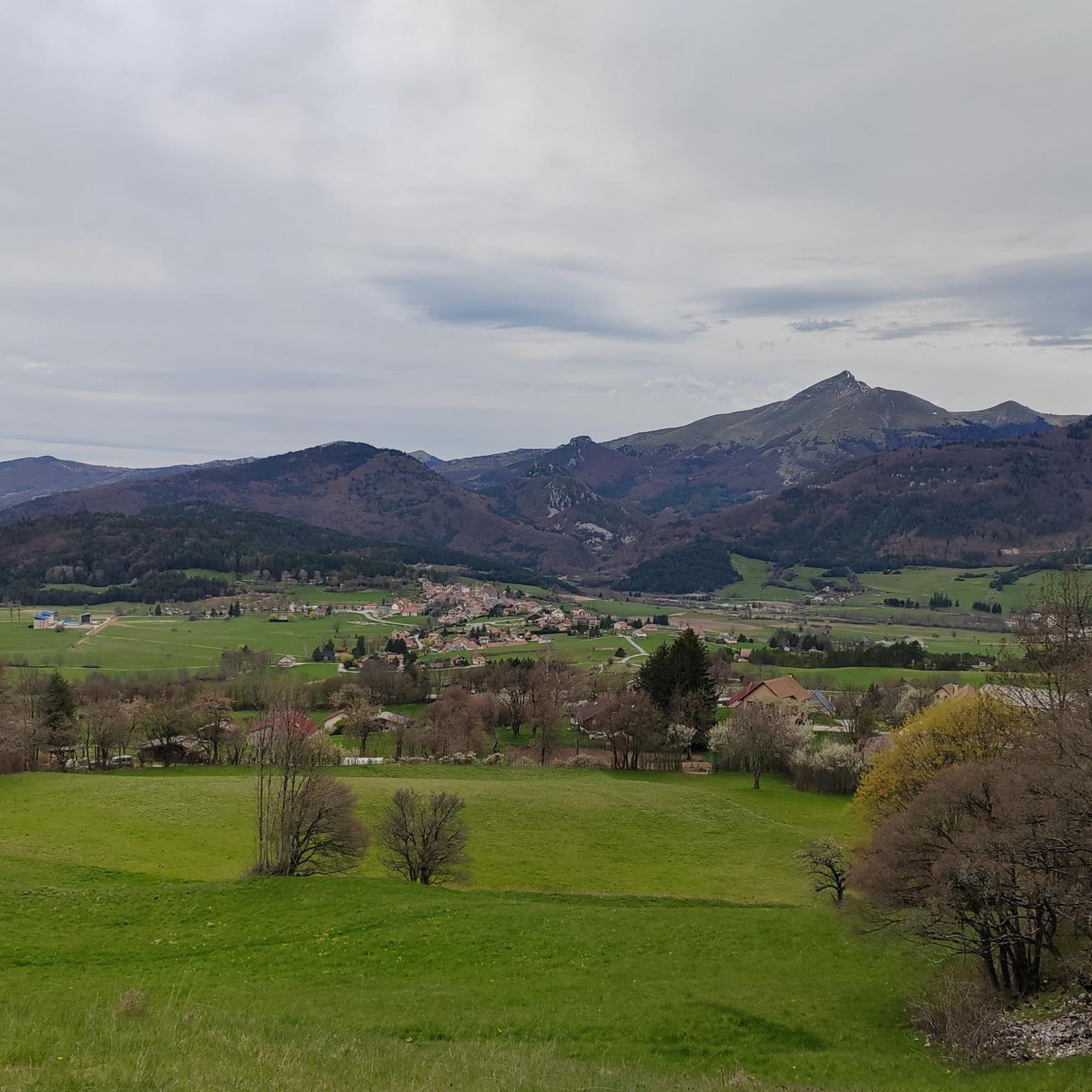
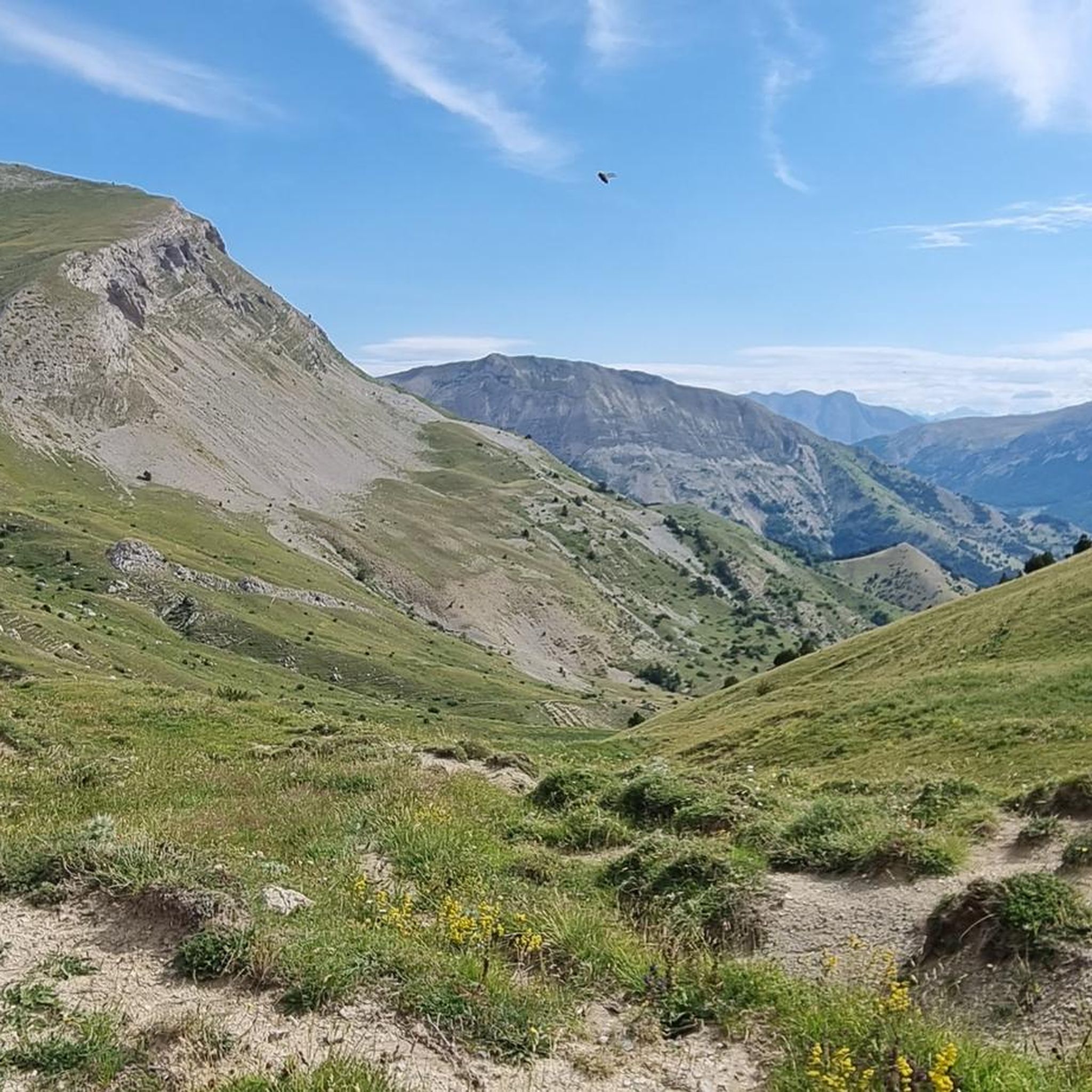
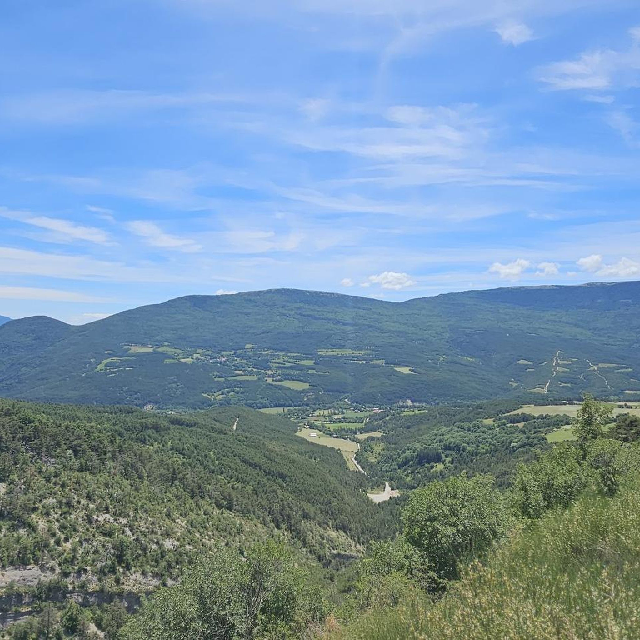
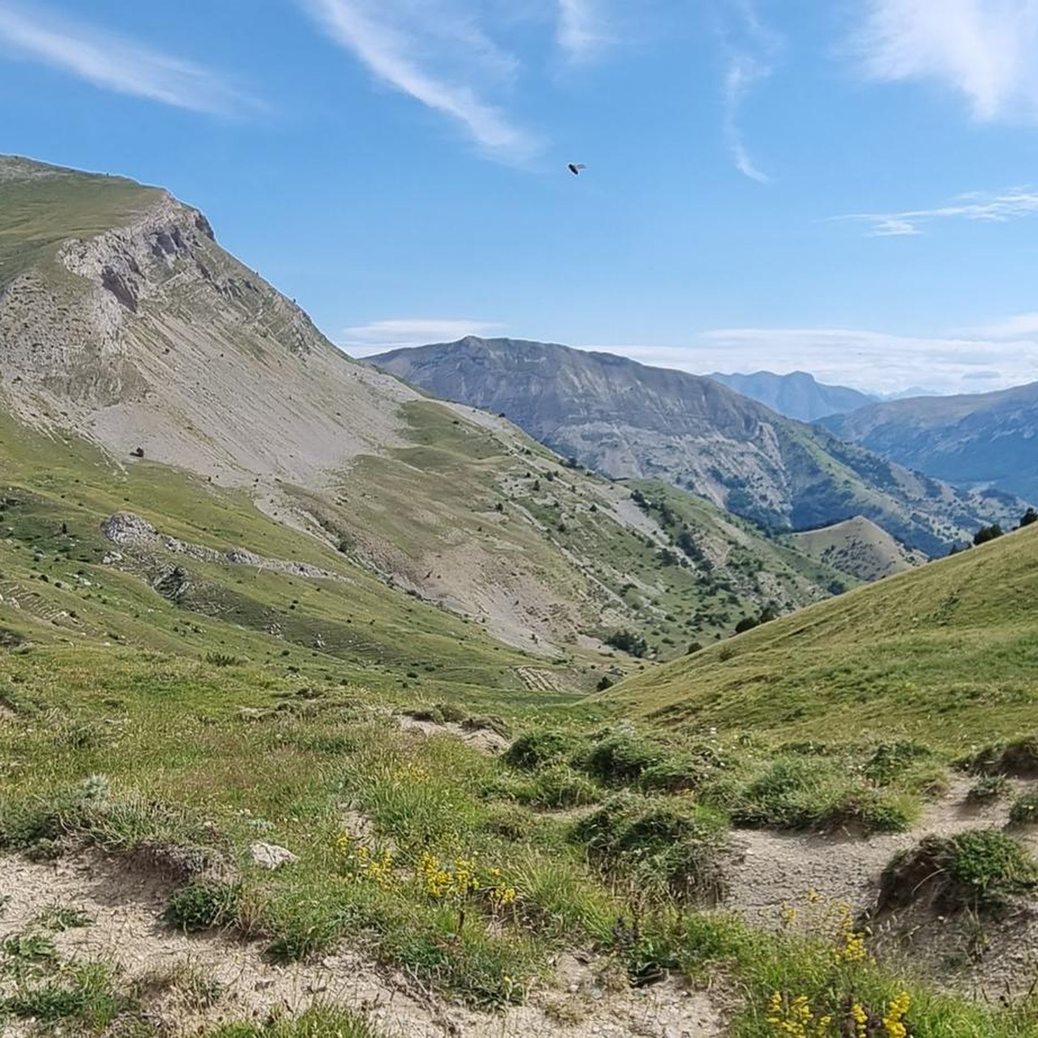
Mountain bike trails around Montbrand traverse a transitional landscape where the Hautes-Alpes, Drôme, and Isère regions meet, offering diverse terrain. The area is characterized by its alpine environment, featuring dramatic valleys, ridges, and varied ecosystems. Riders can expect routes that wind through shaded forests, expansive alpine pastures, and fragrant pine forests, providing a dynamic riding experience. The Montagne de Luzet is a central feature, offering elevated vantage points and varied physical terrain.
Best mountain bike trails around Montbrand
- The most…
Last updated: May 20, 2026
4.6
(12)
71
riders
Moderate mountain bike ride. Good fitness required. Advanced riding skills necessary.
3.8
(5)
19
riders
Moderate mountain bike ride. Good fitness required. Advanced riding skills necessary.

Sign up for free
4.0
(3)
18
riders
17.4km
02:10
640m
640m
Hard mountain bike ride. Good fitness required. Advanced riding skills necessary. Some portions of the route may require you to push your bike.
5.0
(2)
10
riders
18.3km
01:21
310m
310m
Moderate mountain bike ride. Good fitness required. Suitable for all skill levels.
2.0
(2)
8
riders
35.3km
03:56
1,170m
1,170m
Hard mountain bike ride. Very good fitness required. Advanced riding skills necessary. Some portions of the route may require you to push your bike.
Get access to more routes and recommendations from other explorers.
Sign up for free
Already have an account?
Our route recommendations are based on thousands of hikes, rides, and runs completed by other people on komoot.
Start today with a free account
Your next adventure awaits.
Login or Signup
Tips from the Community

Uphill a bit steep for walking. Sometimes down too. Also due to loose subsoil. Ronde was an “inspiration” from Komoot.
0
0

mythical village to see absolutely
1
0

Hamlet of Saint Marcellin, full of charm, with its old church and its tiny streets.
1
0

beautiful route easily accessible to the col. very quiet area. above possibly another refuge.
0
0
Frequently Asked Questions
How many mountain bike trails are available around Montbrand?
There are over 25 mountain bike trails around Montbrand, offering a variety of experiences. These include routes ranging from easy to difficult, ensuring options for different skill levels.
What are the typical difficulty levels for mountain bike trails in Montbrand?
The trails around Montbrand cater to various skill levels. You'll find a mix of routes, including 1 easy trail, 11 moderate trails, and 14 difficult trails. This diversity allows riders to choose paths that match their experience and fitness.
What kind of landscapes and natural features can I expect to see while mountain biking in Montbrand?
Mountain biking in Montbrand offers a diverse and scenic experience. The region is characterized by its transitional landscape where the Hautes-Alpes, Drôme, and Isère regions meet. You'll ride through shaded forests, expansive alpine pastures, and fragrant pine forests. The Montagne de Luzet is a central feature, providing elevated vantage points with panoramas towards the Dévoluy and Vercors massifs. You might also encounter natural highlights like the Gorges des Gâts.
When is the best time of year to go mountain biking in Montbrand?
Given Montbrand's alpine environment, the warmer months, typically from late spring through early autumn, are ideal for mountain biking. During this period, trails are generally clear of snow, and the weather is more favorable for enjoying the diverse ecosystems and scenic views.
Are there any family-friendly mountain bike trails in Montbrand?
Yes, there is at least one easy mountain bike trail available, which can be suitable for families or those looking for a less strenuous ride. These trails often feature gentler gradients and smoother surfaces, making them more accessible.
Are most mountain bike routes in Montbrand circular?
Many of the mountain bike routes around Montbrand are designed as loops, allowing you to start and finish at the same point. For example, the Col de Montbrand loop from La Faurie is a moderate 23.5 km trail that brings you back to your starting point.
What do other mountain bikers enjoy most about the trails in Montbrand?
The mountain bike trails in Montbrand are highly rated by the komoot community, with an average score of 4.0 stars from over 40 reviews. Riders often praise the varied terrain, the stunning panoramic views of massifs like Dévoluy and Vercors, and the dynamic riding experience through diverse landscapes such as alpine pastures and pine forests.
Can I bring my dog on the mountain bike trails in Montbrand?
While many outdoor areas in France are dog-friendly, it's always recommended to check local regulations or specific trail signage regarding dogs, especially in protected natural areas. If dogs are permitted, ensure they are kept on a leash and that you clean up after them to preserve the natural environment for all users.
Are there any notable mountain passes or viewpoints to explore by bike?
Yes, the region features several mountain passes and elevated viewpoints. For instance, the Col de Seille loop from La Faurie is a moderate route that takes you through scenic areas. Other passes in the vicinity include Col de Carabès and Col de Grimone (1318 m), which offer great riding opportunities and views.
What is the elevation gain like on the more challenging mountain bike trails?
The more challenging trails in Montbrand can involve significant elevation gain. For example, the Col du Festre (1,441 m) loop from Lus-la-Croix-Haute, a difficult 37 km trail, features an elevation gain of over 1600 meters, providing a substantial workout and rewarding views.
Are there opportunities to see wildlife while mountain biking in Montbrand?
The diverse ecosystems around Montbrand, including alpine pastures and forests, provide habitats for various wildlife. While specific sightings are never guaranteed, riding through these natural environments offers a chance to observe local flora and fauna, especially during quieter times of the day.
What is a good moderate mountain bike trail to try in the area?
A great moderate option is the Col de Montbrand loop from La Faurie. This 23.5 km trail offers a balanced challenge with an elevation gain of about 750 meters and typically takes around 2 hours 30 minutes to complete, providing a rewarding experience without being overly strenuous.
Most popular attractions around Montbrand

Get inspired with the komoot mobile app


Explore more
Browse the best MTB trails in other regions.
