The best road cycling routes around Belmont
4.6
(222)
3,771
riders
94
rides
Road cycling routes around Belmont, California, offer a diverse range of terrain, from bayfront paths to rolling hills and wooded areas. The region is characterized by scenic views of the San Francisco Bay, wetlands, and the Crystal Springs Reservoir. Cyclists can find routes catering to various fitness levels, including flat, leisurely rides and challenging routes with significant elevation gains.
Best road cycling routes around Belmont
- The most popular road cycling route is Stevens Creek Reservoir – Portola Valley loop,…
Last updated: October 8, 2026
5.0
(2)
113
riders
37.0km
01:54
540m
540m
Moderate road ride. Good fitness required. Mostly well-paved surfaces and easy to ride.
2.5
(2)
21
riders
50.9km
03:02
1,310m
1,310m
Hard road ride. Very good fitness required. Mostly well-paved surfaces and easy to ride.

5.0
(2)
38
riders
46.3km
02:33
970m
970m
Hard road ride. Very good fitness required. Mostly well-paved surfaces and easy to ride.
13
riders
154km
07:23
2,040m
2,040m
Hard road ride. Very good fitness required. Some segments of this route may be unpaved and difficult to ride.
5.0
(1)
24
riders
25.4km
01:22
430m
430m
Moderate road ride. Good fitness required. Some segments of this route may be unpaved and difficult to ride.
Get access to more routes and recommendations from other explorers.
Already have an account?
Our route recommendations are based on thousands of hikes, rides, and runs completed by other people on komoot.
Start today with a free account
Your next adventure awaits.



Tips from the Community


Very good place to stop for refreshments!
0
0

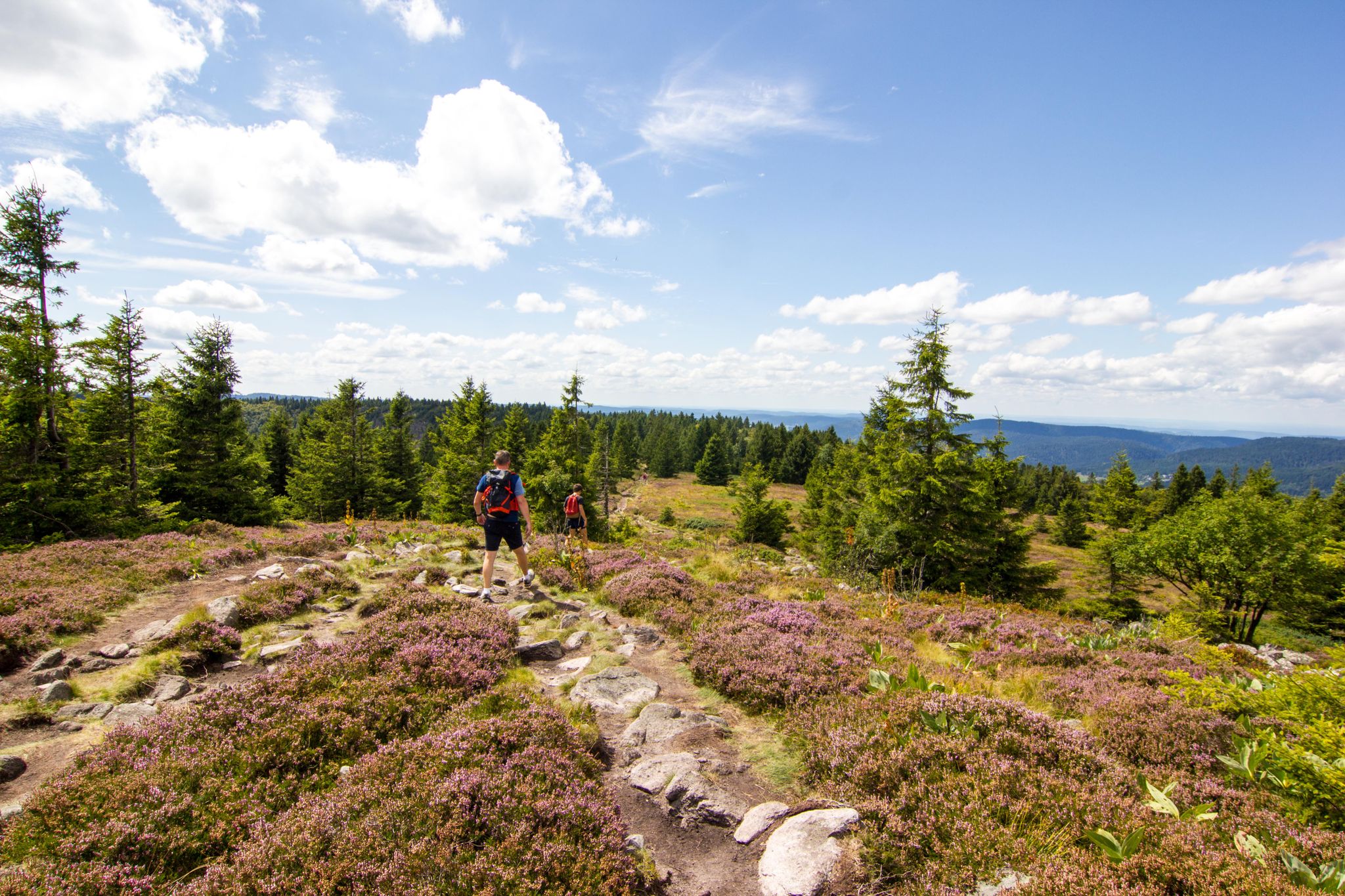
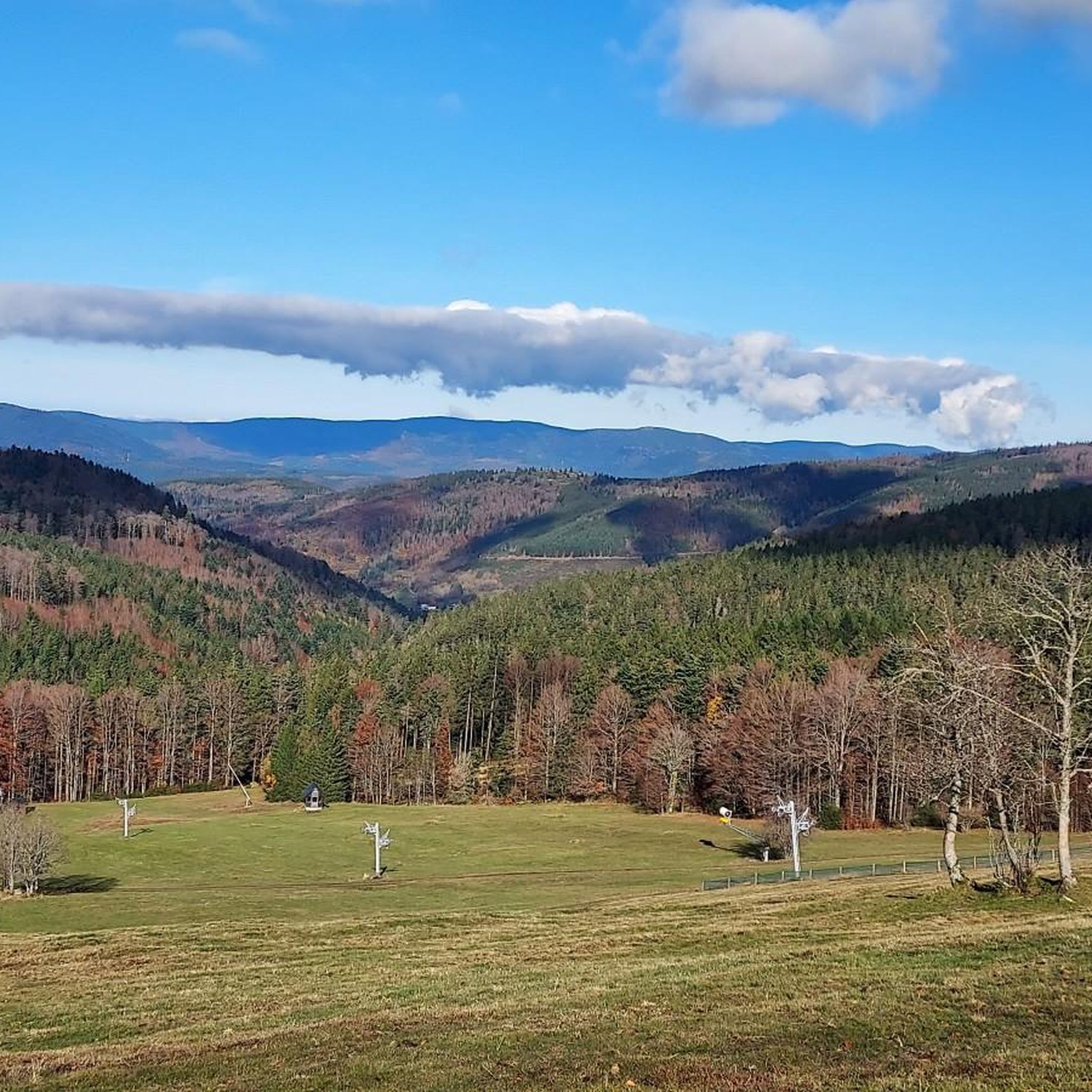
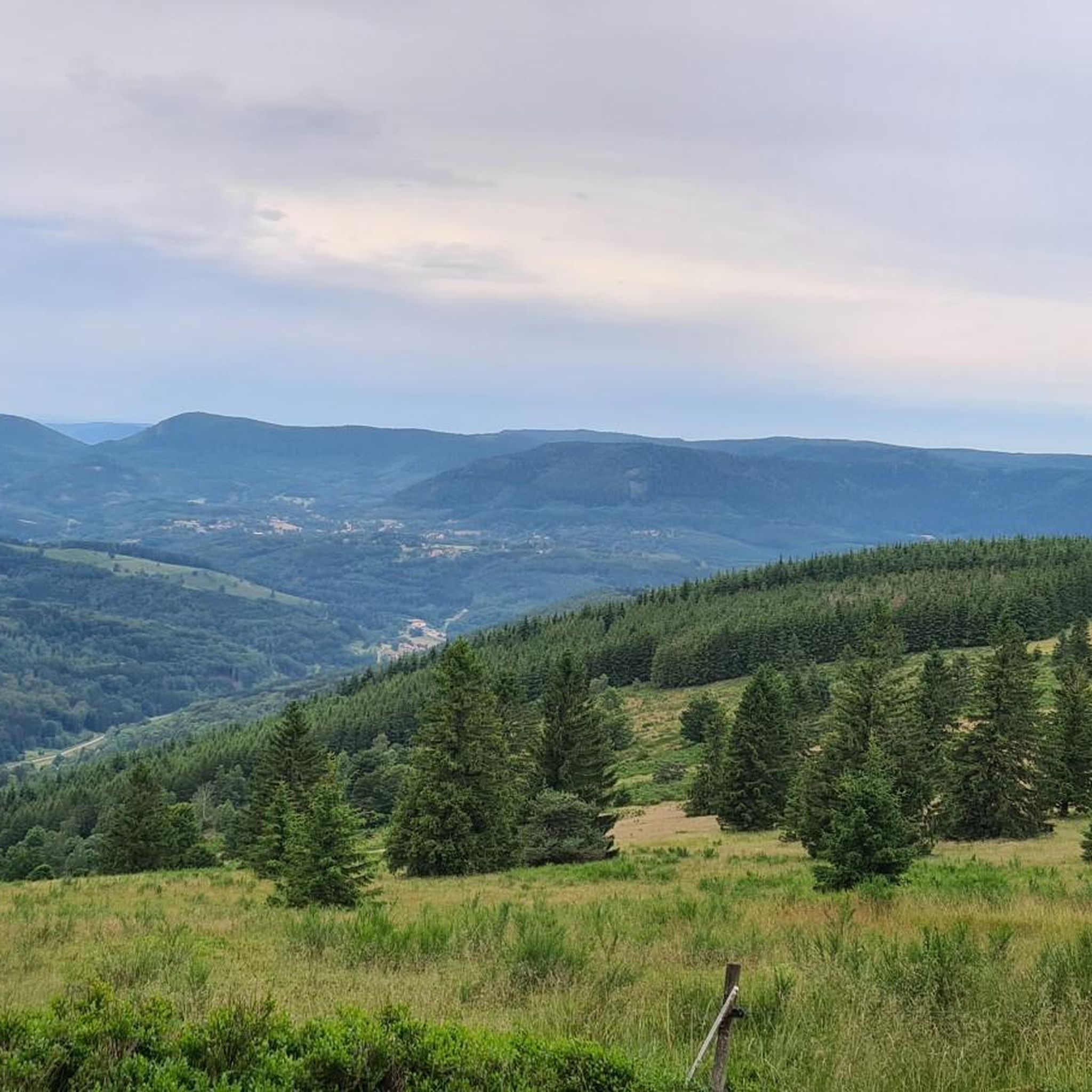
The Champ du Feu, at 1099 meters, is the highest mountain in the Bas-Rhin department in the Vosges in Alsace. It is located between the towns of Belmont and Le Hohwald and consists of a vast plateau with forests, meadows, and moorlands. The area is a popular nature and recreational area. In summer, it is mainly used for hiking, mountain biking, and nature observation. In winter, there is a small ski area with cross-country trails and simple slopes for winter sports. From the Champ du Feu, the La Serva stream originates, which later forms the Cascade de la Serva. In clear weather, the summit offers wide views over the Vosges, the Rhine plain, and even the Black Forest. The area is particularly known for its quiet nature, high moors, sunrises and starry skies, as well as well-marked hiking trails.
0
0

Very nice place with running water
0
0
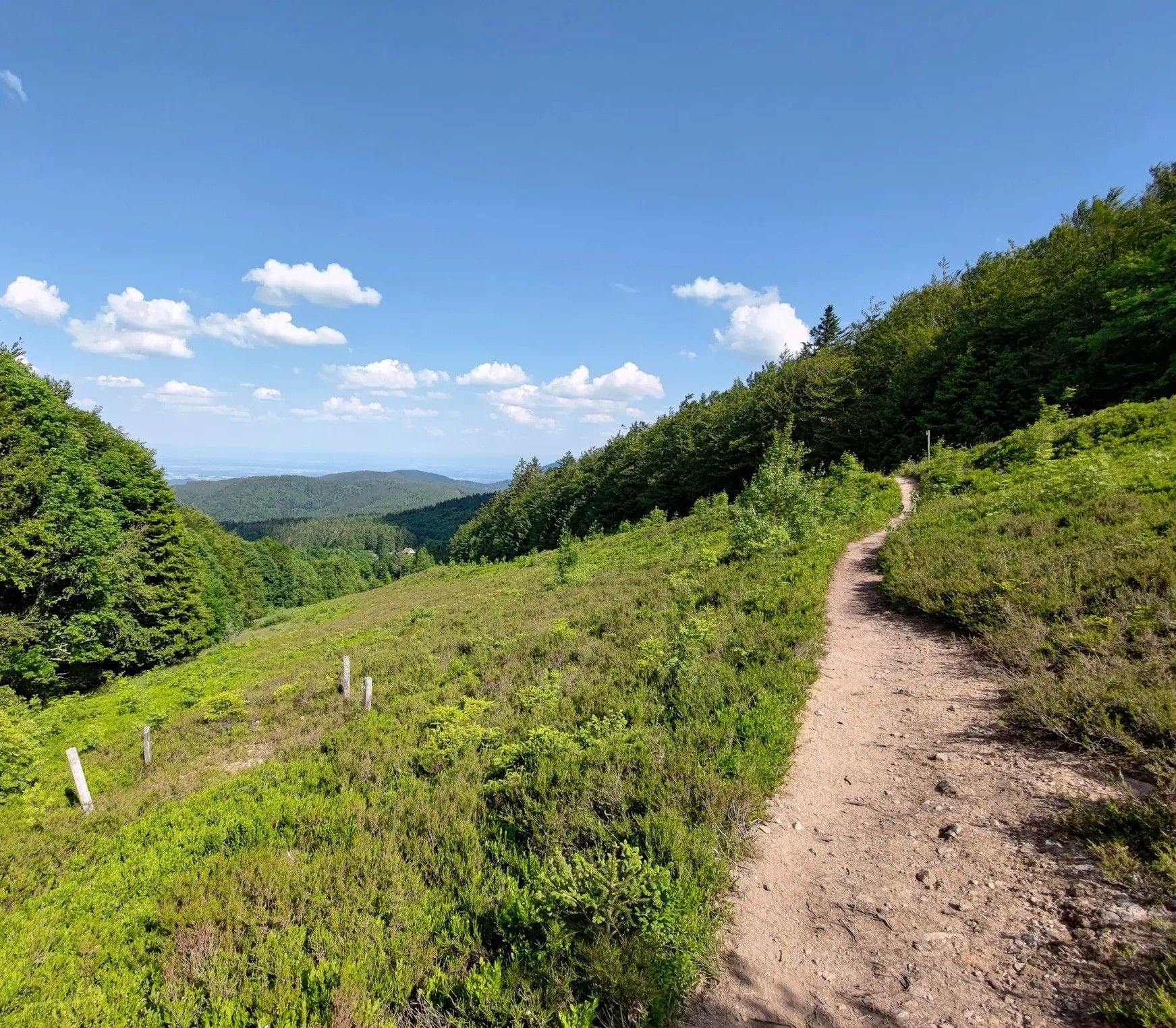
abandoned road with beautiful view.
0
0

The kitchen had already closed at 3 p.m. on Sunday afternoon, so there were no hot or cold food left. Only cake and ice cream, but that was good. 💲💲Cash only. 💲💲
0
0
Frequently Asked Questions
How many road cycling routes are available around Belmont?
Belmont offers a wide selection of road cycling routes, with over 90 tours available on komoot. These routes cater to various skill levels, including easy, moderate, and challenging options.
What types of terrain can I expect on road cycling routes in Belmont?
Road cycling in Belmont features a diverse range of terrain. You'll find everything from flat, leisurely bayfront paths with picturesque views of the San Francisco Bay and wetlands, to rolling hills and wooded areas with significant elevation gains. The region is also characterized by scenic paths alongside the Crystal Springs Reservoir.
Are there any challenging road cycling routes for experienced riders?
Yes, Belmont offers several challenging routes for experienced road cyclists. For instance, the Climb to Grendelbruch – Col de Grendelbruch loop from Belmont is a difficult 66.6 km route with over 1,300 meters of elevation gain. Another demanding option is the Champ du Feu – Au Champ du Feu loop from Col du Kreuzweg, which is 46.8 km long with nearly 1,200 meters of ascent.
Can I find any easy or family-friendly road cycling routes in Belmont?
Absolutely. While many routes offer challenges, Belmont also has options suitable for easier rides. The region's bayfront paths, such as those found in the Emily Renzel Wetlands – Baylands Nature Preserve loop, provide flat terrain and scenic views, ideal for a more relaxed pace. Additionally, a 3.8-mile segment of Cañada Road along the Crystal Springs Regional Trail is closed to vehicles on Sundays, creating a safe and enjoyable environment for non-motorized activities like cycling.
What do other road cyclists say about the routes in Belmont?
The road cycling routes around Belmont are highly regarded by the komoot community, holding an impressive average rating of 4.6 stars from over 135 reviews. More than 3,350 road cyclists have explored Belmont's varied terrain using komoot, often praising the diverse landscapes, from bay views to wooded canyons, and the options available for all ability levels.
Are there any scenic viewpoints or natural attractions along the road cycling routes?
Many routes offer stunning vistas of the San Francisco Bay and traverse significant wetland areas, providing opportunities for birdwatching. You might also encounter wooded canyons and large open spaces, allowing for immersive nature experiences. For specific natural landmarks, consider exploring areas near the Hohwald waterfall or the Champ du Feu summit, which are notable natural monuments in the broader region.
Are there any long-distance road cycling routes in the Belmont area?
Yes, for those seeking longer rides, the Belmont area offers extensive routes. An example is the Urbeis Pass – Alsace Wine Route Vineyards loop from Fouday, which spans over 155 km and features significant elevation gain, making it a substantial long-distance option for endurance cyclists.
Are there any loop routes available for road cycling in Belmont?
Yes, many road cycling routes in Belmont are designed as loops, allowing you to start and finish at the same point. For example, the Salcée Pass – Col de Steige loop from Waldersbach is a moderate 36.9 km route that offers a circular journey through rolling hills.
What is the best time of year for road cycling in Belmont?
Belmont's climate generally allows for road cycling year-round. However, the spring and fall months often provide the most pleasant temperatures and clear skies, making them ideal for exploring the diverse terrain. Summer can be warm, especially on exposed bayfront paths, while winter might bring occasional rain, but many days remain suitable for riding.
Are there options for parking or public transport access to road cycling routes?
Belmont is committed to creating a safe and comfortable environment for cyclists, and many trailheads and popular cycling areas offer parking facilities. For public transport, it's advisable to check local transit schedules and routes, as access can vary depending on the specific starting point of your chosen route. Some areas, like the Crystal Springs Regional Trail, are easily accessible.
Can I find amenities like cafes or pubs along the road cycling routes?
While specific routes may vary, the Belmont area, being a developed region, offers various amenities. Many routes pass through or near towns and communities where you can find cafes, restaurants, and shops for refreshments and supplies. It's always a good idea to plan your route and check for available services beforehand, especially on longer or more remote sections.
Most popular attractions around Belmont

Get inspired with the komoot mobile app


Explore more
Browse the best Road cycling routes in other regions.
