The best walks and hikes around Belmont
4.6
(937)
4,903
hikers
63
hikes
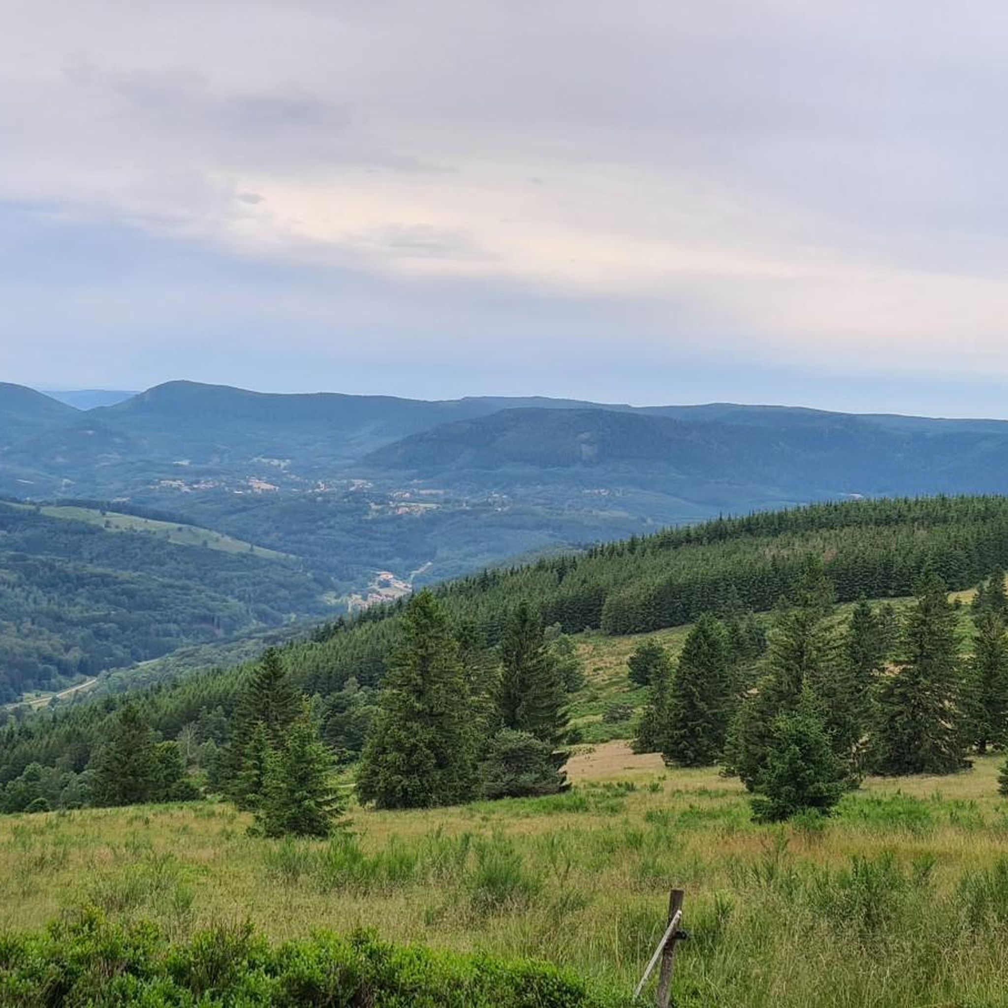
Hiking around Belmont offers a variety of trails through wooded areas and natural landscapes. The region features diverse terrain, including paths leading to waterfalls and through forested hills. Hikers can find routes with varying elevation gains, providing options for different experience levels. The area's natural features contribute to a varied hiking experience.
Best hiking trails around Belmont
- The most popular hiking route is Hohwald waterfall – The Hohwald loop from Réserve biologique dirigée du Champ du Feu, a 9.8…
Last updated: September 28, 2026
4.7
(51)
252
hikers
Moderate hike. Good fitness required. Easily-accessible paths. Suitable for all skill levels.
4.8
(29)
188
hikers
Moderate hike. Good fitness required. Easily-accessible paths. Suitable for all skill levels.

4.7
(23)
93
hikers
10.7km
03:17
370m
380m
Moderate hike. Good fitness required. Easily-accessible paths. Suitable for all skill levels.
4.8
(20)
144
hikers
Moderate hike. Good fitness required. Mostly accessible paths. Sure-footedness required.
4.5
(20)
135
hikers
11.4km
03:44
530m
530m
Moderate hike. Good fitness required. Easily-accessible paths. Suitable for all skill levels.
Get access to more routes and recommendations from other explorers.
Already have an account?
Our route recommendations are based on thousands of hikes, rides, and runs completed by other people on komoot.
Start today with a free account
Your next adventure awaits.



Tips from the Community

Magnificent waterfall on the edge of the GR5. 🥰
0
0

The Cascade de la Serva is located in the Vosges in Alsace, near the Champ du Feu. The stream La Serva originates there at an altitude of over 1000 m in the moor and forest areas of the high plateau. On its approximately 3 km long course, it flows through dense Vosges forest and forms the well-known Cascade de la Serva with several natural waterfall cascades, before later flowing into the Rothaine.
0
0
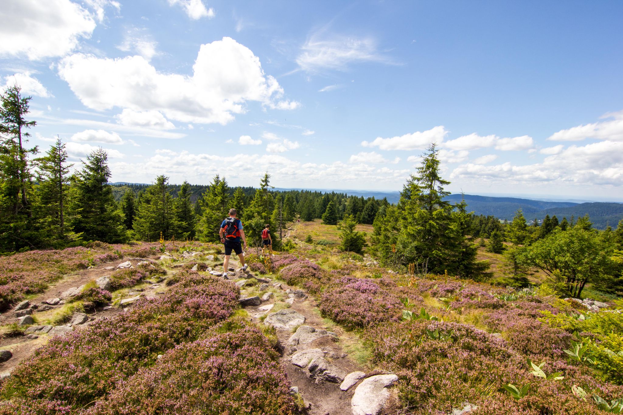
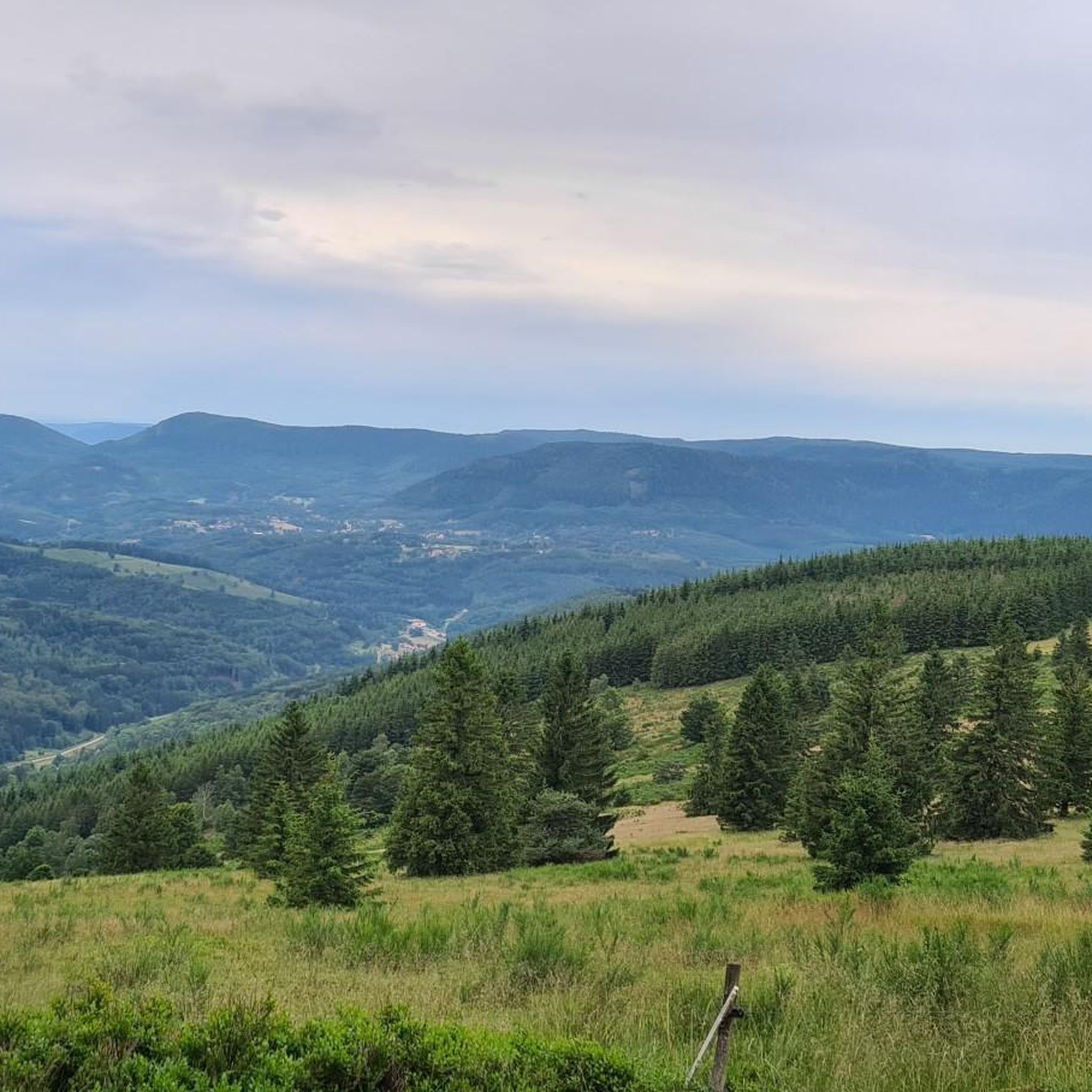
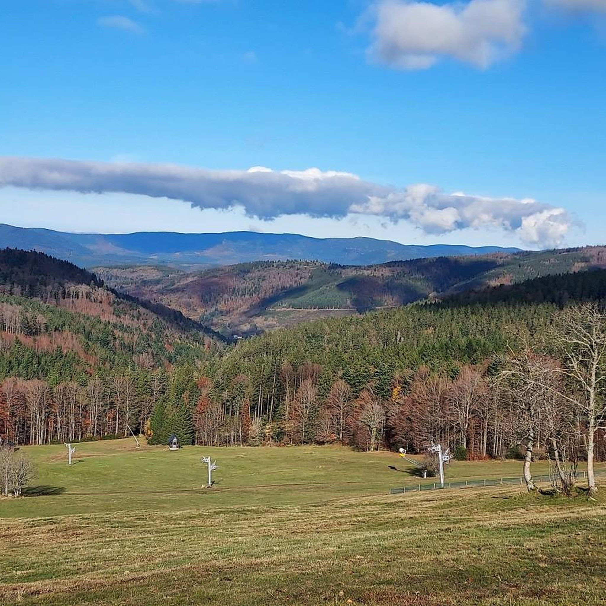
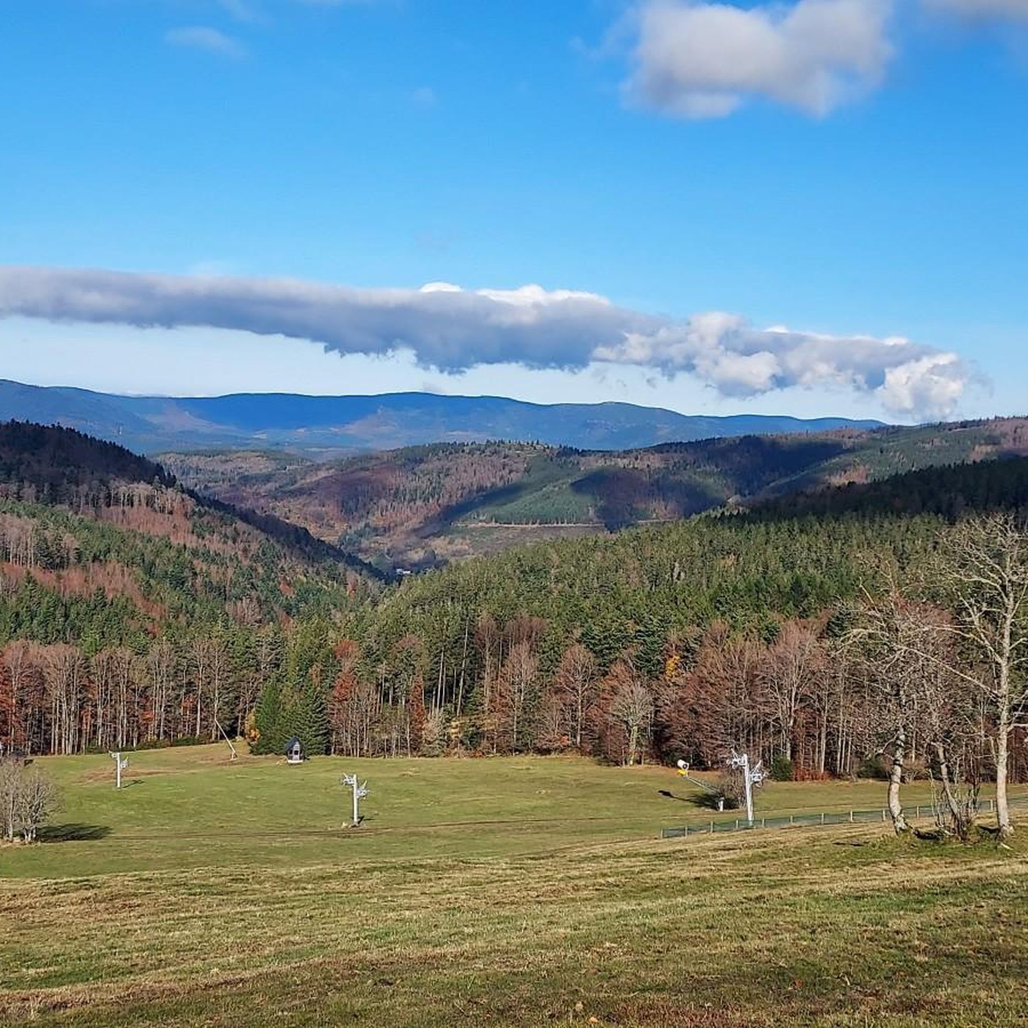
Champ du Feu, at 1099 meters, is the highest mountain in the Bas-Rhin department of the Vosges in Alsace. It is located between the villages of Belmont and Le Hohwald and consists of an extensive high plateau with forests, meadows, and moorlands. The area is a popular nature and recreational area. In summer, it is mainly used for hiking, mountain biking, and nature observation. In winter, there is a small ski resort with cross-country trails and simple slopes for winter sports. The stream La Serva originates from Champ du Feu and later forms the Cascade de la Serva. In clear weather, the summit offers wide views over the Vosges, the Rhine plain, and as far as the Black Forest. The area is particularly known for its tranquil nature, high moors, sunrises and starry skies, as well as well-marked hiking trails.
0
0
Champ du Feu, at 1099 meters, is the highest mountain in the Bas-Rhin department of the Vosges in Alsace. It lies between the towns of Belmont and Le Hohwald and consists of an extensive high plateau with forests, meadows, and moorlands. The area is a popular nature and recreational area. In summer, it is mainly used for hiking, mountain biking, and nature observation. In winter, there is a small ski area with cross-country trails and simple slopes for winter sports. The brook La Serva originates from Champ du Feu, later forming the Cascade de la Serva. In clear weather, the summit offers wide views over the Vosges, the Rhine plain, and as far as the Black Forest. The area is particularly known for its tranquil nature, high moors, sunrises and starry skies, as well as well-marked hiking trails.
0
0
The Champ du Feu, at 1099 meters, is the highest mountain in the Bas-Rhin department in the Vosges in Alsace. It is located between the towns of Belmont and Le Hohwald and consists of a vast plateau with forests, meadows, and moorlands. The area is a popular nature and recreational area. In summer, it is mainly used for hiking, mountain biking, and nature observation. In winter, there is a small ski area with cross-country trails and simple slopes for winter sports. From the Champ du Feu, the La Serva stream originates, which later forms the Cascade de la Serva. In clear weather, the summit offers wide views over the Vosges, the Rhine plain, and even the Black Forest. The area is particularly known for its quiet nature, high moors, sunrises and starry skies, as well as well-marked hiking trails.
0
0
The Champ du Feu, at 1099 meters, is the highest mountain in the Bas-Rhin department in the Vosges in Alsace. It is located between the towns of Belmont and Le Hohwald and consists of an extensive plateau with forests, meadows, and moorlands. The area is a popular nature and recreation area. In summer, it is mainly used for hiking, mountain biking, and nature observation. In winter, there is a small ski area with cross-country trails and simple slopes for winter sports. The brook La Serva originates from the Champ du Feu, later forming the Cascade de la Serva. In clear weather, the summit offers wide views over the Vosges, the Rhine plain, and as far as the Black Forest. The area is particularly known for its tranquil nature, high moors, sunrises and starry skies, as well as well-marked hiking trails.
0
0

Frequently Asked Questions
What is the general difficulty level of hiking trails around Belmont?
Hiking around Belmont offers a range of difficulties. The majority of the trails, 36 out of 65, are classified as moderate. There are also 27 easy routes, making the area accessible for beginners or those seeking a relaxed walk, and 2 more challenging trails for experienced hikers.
Are there any trails that feature waterfalls in the Belmont area?
Yes, the Belmont area is known for its waterfalls. You can explore routes like the Hohwald waterfall – The Hohwald loop from Réserve biologique dirigée du Champ du Feu, which is a moderate 9.8-mile trail. Another option is the Champ du Feu – Serva Waterfall loop from Belmont, a 6.7-mile trail leading towards Serva Waterfall.
What kind of natural features can I expect to see on hikes around Belmont?
The hiking trails around Belmont are characterized by wooded hills and diverse natural landscapes. Many routes traverse forested areas, offering scenic views and a varied hiking experience. The presence of waterfalls, such as Hohwald and Serva, adds to the natural beauty of the region.
Are there any family-friendly hiking options in Belmont?
Yes, with 27 easy routes available, Belmont offers several options suitable for families. These trails typically feature less elevation gain and shorter distances, providing a pleasant outdoor experience for all ages. While specific family-friendly routes are not detailed here, the abundance of easy trails ensures there are suitable choices.
What do other hikers enjoy most about the trails in Belmont?
The hiking routes in Belmont are highly rated by the komoot community, with an average score of 4.6 stars from over 800 reviews. Hikers often praise the diverse terrain, the beauty of the wooded hills, and the presence of natural features like waterfalls. The variety of options for different ability levels is also frequently appreciated.
Are there any circular hiking routes available in Belmont?
Many of the popular trails around Belmont are designed as loops, offering circular routes that bring you back to your starting point. Examples include the Champ du Feu – Au Champ du Feu loop from Réserve biologique dirigée du Champ du Feu, a moderate 4.6-mile path, and the Edelweiss Rock – Tour of the Champ du Feu loop from Réserve biologique dirigée du Champ du Feu, which is 6.5 miles long.
What are some notable landmarks or attractions near the hiking trails in Belmont?
Around Belmont, you can find several interesting landmarks and attractions. These include historical sites like Heathen Wall Loop and Heidenmauer (Mur Païen) — Eastern section, Mont Sainte-Odile. There are also castles such as Andlau Castle and Rathsamhausen Castle, and natural monuments like Verlorenes Eck Stone Circle.
What is the typical length and duration of hikes in Belmont?
The hiking trails in Belmont vary in length and duration. For example, the Hohwald waterfall loop is about 9.8 miles (15.8 km) and takes approximately 4 hours 50 minutes. Shorter options like the Au Champ du Feu loop are around 4.6 miles (7.3 km) and can be completed in about 2 hours.
Are there any viewpoints along the hiking trails in Belmont?
Yes, the region offers several spots with scenic views. For instance, the Jadelot Kiosk Viewpoint is a notable highlight where hikers can enjoy panoramic vistas of the surrounding landscapes.
Can I find places to rest or shelter along the trails?
Yes, there are facilities like huts and shelters in the vicinity of Belmont's hiking trails. The Velroneck Shelter and Merlin's Garden is one such location that can provide a resting spot during your hike.
How many hiking trails are available in the Belmont area?
There are over 60 hiking trails available around Belmont, offering a wide selection for various preferences and skill levels. This includes a mix of easy, moderate, and a few more challenging routes.
Most popular attractions around Belmont

Get inspired with the komoot mobile app


Explore more
Browse the best Hikes in other regions.
