The best running trails around Saint-Martin-La-Sauveté
4.4
(10)
266
runners
64
runs
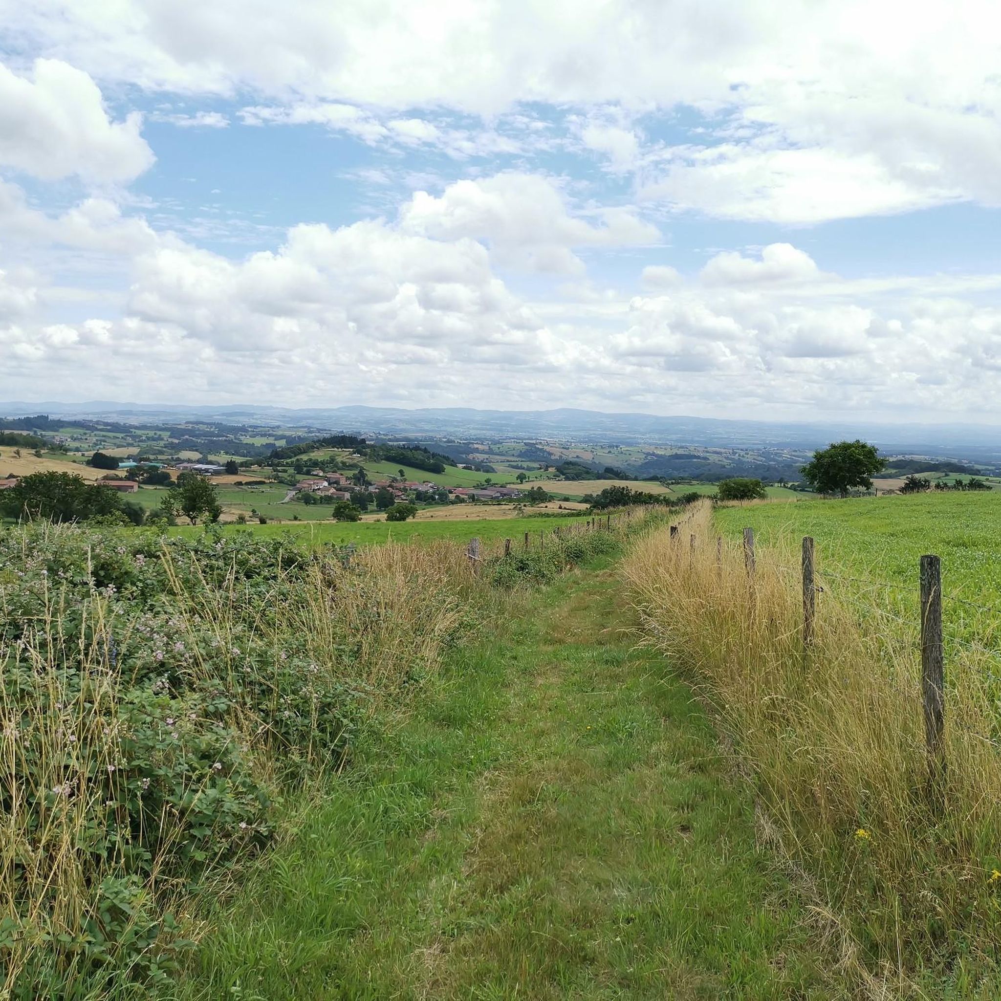
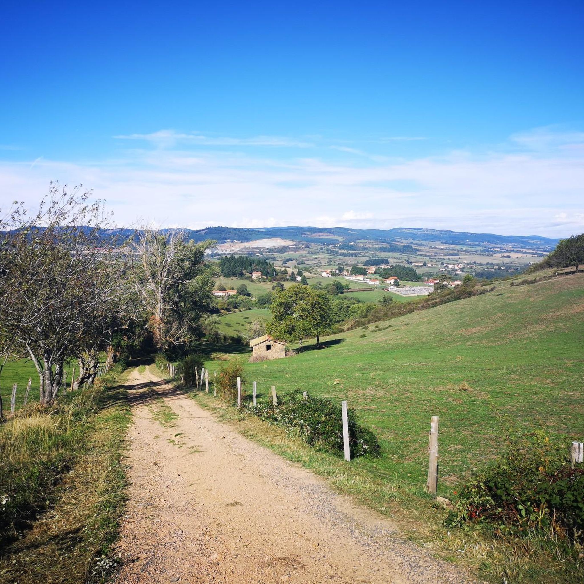
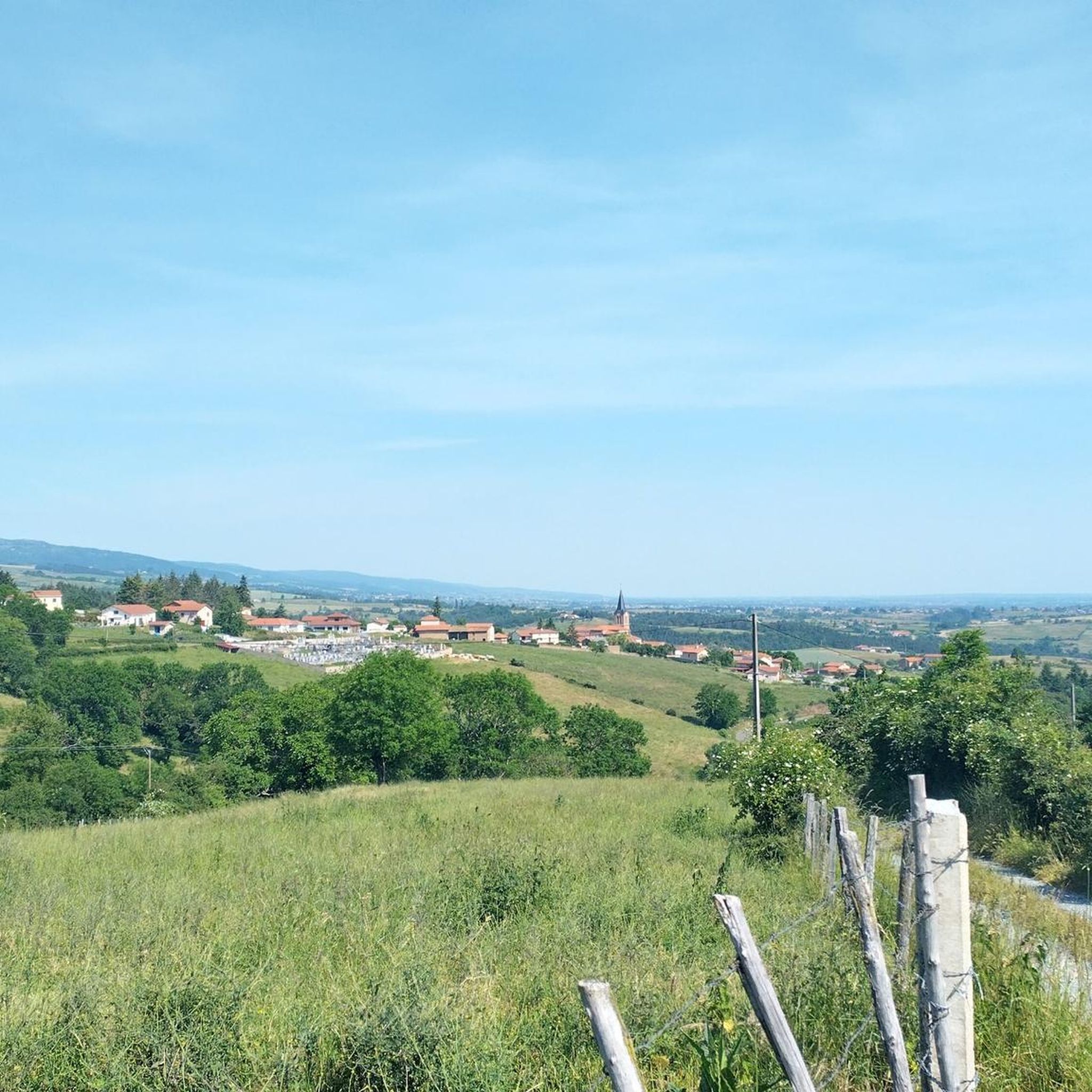
Jogging around Saint-Martin-La-Sauveté offers diverse terrain across altitudes ranging from 408 to 899 meters. The region features significant forested zones, including the Bois de Cierve and Bois Noirs, alongside expansive agricultural lands. Panoramic views of the Monts du Lyonnais, Monts du Pilat, and Monts du Forez are accessible from various points, providing varied backdrops for running routes. The area's medium mountain topography provides a variety of routes suitable for different fitness levels.
Best jogging routes around Saint-Martin-La-Sauveté
- The most popular…
Last updated: July 1, 2026
41
runners
34.8km
04:30
1,110m
1,110m
Hard run. Very good fitness required. Mostly paved surfaces. Suitable for all skill levels.
15
runners
9.30km
01:12
330m
330m
Hard run. Very good fitness required. Mostly paved surfaces. Suitable for all skill levels.

Sign up for free
3
runners
8.40km
01:01
220m
220m
Moderate run. Good fitness required. Mostly paved surfaces. Suitable for all skill levels.
2
runners
10.00km
01:11
270m
270m
Moderate run. Good fitness required. Mostly paved surfaces. Suitable for all skill levels.
5.0
(1)
4
runners
8.70km
01:07
280m
280m
Moderate run. Good fitness required. Mostly paved surfaces. Suitable for all skill levels.
Get access to more routes and recommendations from other explorers.
Sign up for free
Already have an account?
Our route recommendations are based on thousands of hikes, rides, and runs completed by other people on komoot.
Start today with a free account
Your next adventure awaits.
Login or Signup
Tips from the Community

Departure from 5 marked trail routes from 8 to 17km. A sports course around the pond. A route measured with terminals every 100m by 1200m. Right next to an estate with restaurant, hotel and lodges.
1
0

A magnificent castle with a breathtaking 360 ° view! It's worth the detours!
1
0
Frequently Asked Questions
How many running routes are available in Saint-Martin-La-Sauveté?
There are over 50 running routes available around Saint-Martin-La-Sauveté, offering a diverse range of options for joggers. These routes cater to various fitness levels, with a mix of moderate and difficult trails.
What kind of terrain can I expect on the jogging routes around Saint-Martin-La-Sauveté?
The region offers a varied topography for running, with altitudes ranging from 408 to 899 meters. You'll find significant forested zones like the Bois de Cierve and Bois Noirs, providing shaded paths, alongside expansive agricultural lands offering open spaces and rural scenery. This mix ensures a dynamic running experience.
Are there any routes with significant elevation gain for a challenging run?
Yes, many routes in Saint-Martin-La-Sauveté feature considerable elevation changes. For instance, the Étang de La Plagnette – Château des Cornes d'Urfé loop from Champoly is a difficult 35.9 km trail with over 1100 meters of elevation gain, perfect for a challenging run.
Can I find running routes that offer panoramic views?
Absolutely. The area boasts panoramic views of the surrounding mountain ranges, including the Monts du Lyonnais, Monts du Pilat, and Monts du Forez. The Pêt de l'Âne is a magnificent viewpoint that offers vistas over the longest meander of the Loire River, and routes often pass by such scenic spots.
Are there circular running routes available in Saint-Martin-La-Sauveté?
Yes, many of the running paths in the region are circular, allowing you to start and finish at the same point. Examples include the Urfé Castle loop from Champoly and the Étang de La Plagnette loop from Les Salles, both offering scenic round trips.
What are some points of interest or natural attractions I might see while jogging?
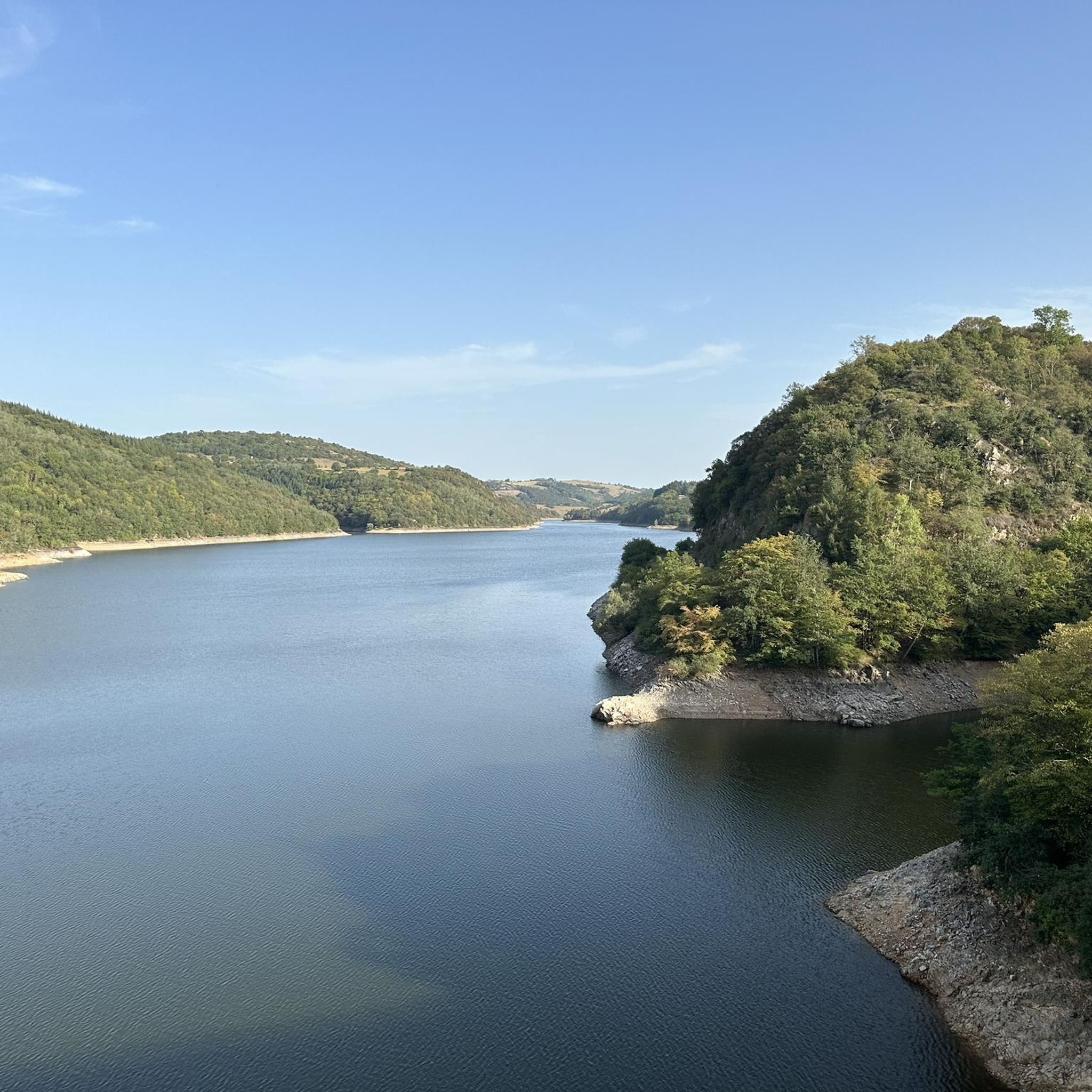
While running, you might encounter historical sites like the area around Urfé Castle, or natural features such as the Noirétable Lake. The region's diverse landscape also includes significant forested zones and agricultural lands, providing varied scenery.
What do other runners say about the trails in Saint-Martin-La-Sauveté?
The running routes in Saint-Martin-La-Sauveté are highly rated by the komoot community, with an average score of 4.0 stars from 9 reviews. Over 200 runners have used komoot to explore the varied terrain, often praising the diverse landscapes and challenging options available.
Are there any shorter or moderate jogging routes for beginners or those looking for a less intense run?
While many routes are moderate to difficult, you can find options like the Commanderie de Verrières loop from Saint-Germain-Laval, which is a moderate 8.4 km trail. This offers a good balance for those seeking a less strenuous but still engaging run.
What is the best time of year for jogging in Saint-Martin-La-Sauveté?
The varied landscapes of Saint-Martin-La-Sauveté make it suitable for jogging across multiple seasons. Spring and autumn offer pleasant temperatures and beautiful scenery, while the forested areas provide shade during warmer summer months. Always check local weather conditions before heading out.
Are there any running routes that pass by lakes or water features?
Yes, several routes incorporate water features. For example, the Étang de La Plagnette loop from Les Salles takes you through natural landscapes around the lake, offering scenic views and a refreshing environment for your run.
How can I find parking near the running trails?
While specific parking details for each trail are best checked on the individual route pages, many trails in rural areas like Saint-Martin-La-Sauveté typically have parking available at trailheads or nearby villages. For routes starting from Champoly or Les Salles, you can often find local parking options.
Are there any running routes that explore historical sites or landmarks?
Yes, you can combine your run with a touch of history. The Urfé Castle loop from Champoly specifically focuses on the area around Urfé Castle, allowing you to explore a historical landmark while enjoying your run.
Most popular routes around Saint-Martin-La-Sauveté
Most popular attractions around Saint-Martin-La-Sauveté

Get inspired with the komoot mobile app


Explore more
Browse the best Running Trails & Routes in other regions.
