Attractions and Places To See around Argeliers - Top 20
Best attractions and places to see around Argeliers include historical landmarks, natural features, and cultural sites. This rural town in the Narbonnais region is situated along the Canal du Midi, a UNESCO World Heritage Site. Visitors can explore ancient castles, significant churches, and sites related to local history. The area also offers access to the Canal du Midi for various activities and is close to the Narbonnaise en Méditerranée Natural Regional Park.
Best attractions and places to see around Argeliers
- The most popular attraction is The Port of Somail, a settlement that served as a post boat stop and has inspired many painters. This hamlet is known for its picturesque setting, bridge, and chapel on the banks of the Canal du Midi.
- Another must-see spot is Junction of the Canal du Midi and the Canal de la Robine, a canal connection. This junction provides a direct connection from the Canal du Midi to the Mediterranean Sea.
- Visitors also love Gailhousty Lock and Spillway, a man-made monument. This site features a lock, spillway, bridge, and dry dock, connecting the Canal du Midi and the Canal de la Robine.
- Argeliers is known for its historical sites, canal-side activities, and natural landscapes. The region offers a variety of attractions to see and explore, from ancient structures to scenic waterways.
- The attractions around Argeliers are appreciated by the komoot community, with more than 300 upvotes and over 100 photos shared by visitors.
Last updated: June 24, 2026
The Port of Somail
Highlight • Settlement
Translated by Google •
Tip by

Junction of the Canal du Midi and the Canal de la Robine
Highlight • Other
From here there is already a direct connection from the Canal du Midi to the Mediterranean Sea.
There is a small bar directly at the junction, which unfortunately was closed at the time I came by.
Translated by Google •
Tip by

Sign up now to discover places like this
Get recommendations on the best single tracks, peaks, & plenty of other exciting outdoor places.
Sign up for free
Gailhousty Lock and Spillway
Highlight • Monument
Translated by Google •
Tip by

Canal de Jonction
Highlight • River
Translated by Google •
Tip by
Marie Close fashion show
Highlight • Gorge
Translated by Google •
Tip by

Sign up for free to discover even more attractions around Argeliers.
Sign up for free
Already have an account?
Start today with a free account
Your next adventure awaits.
Login or Signup

Tips from the Community

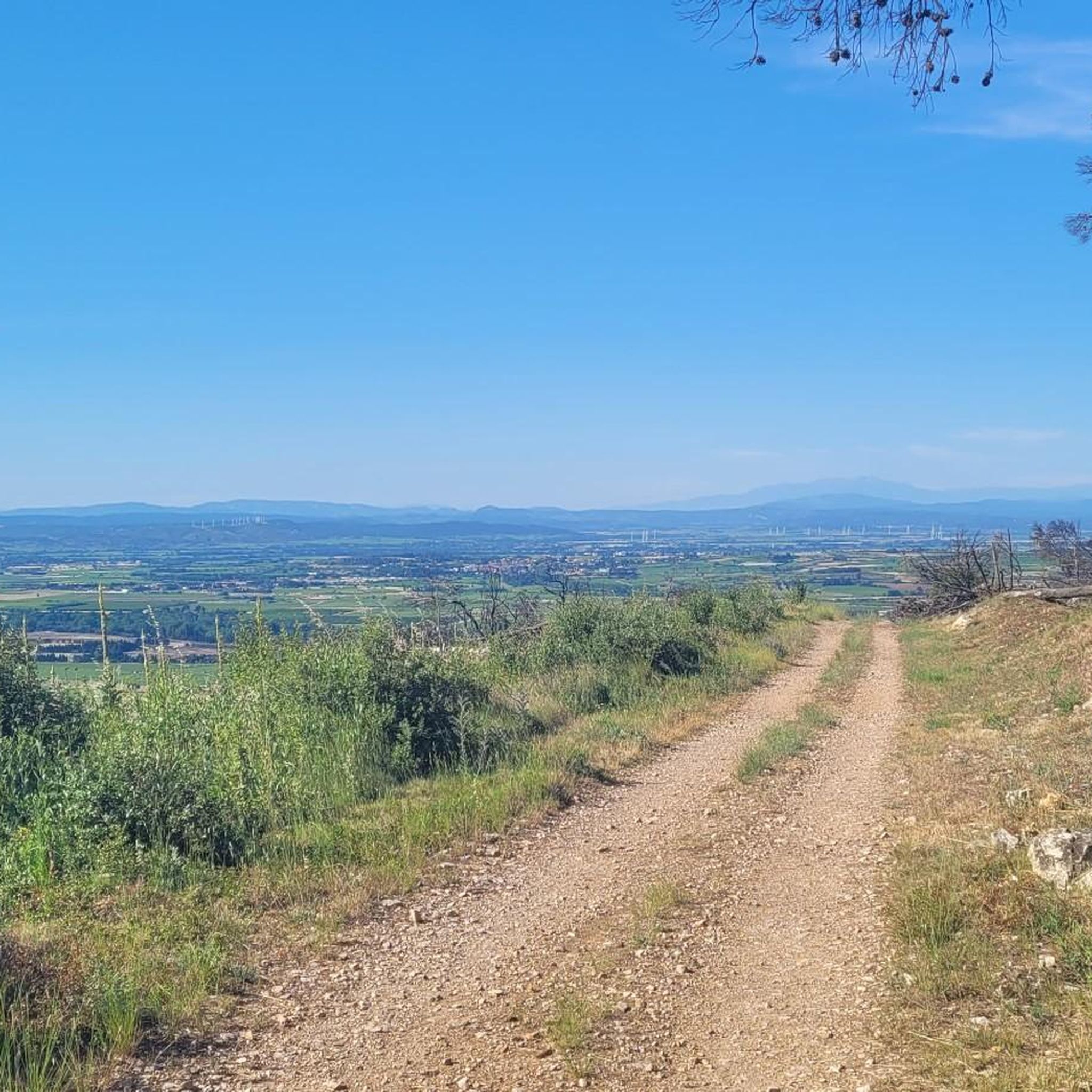
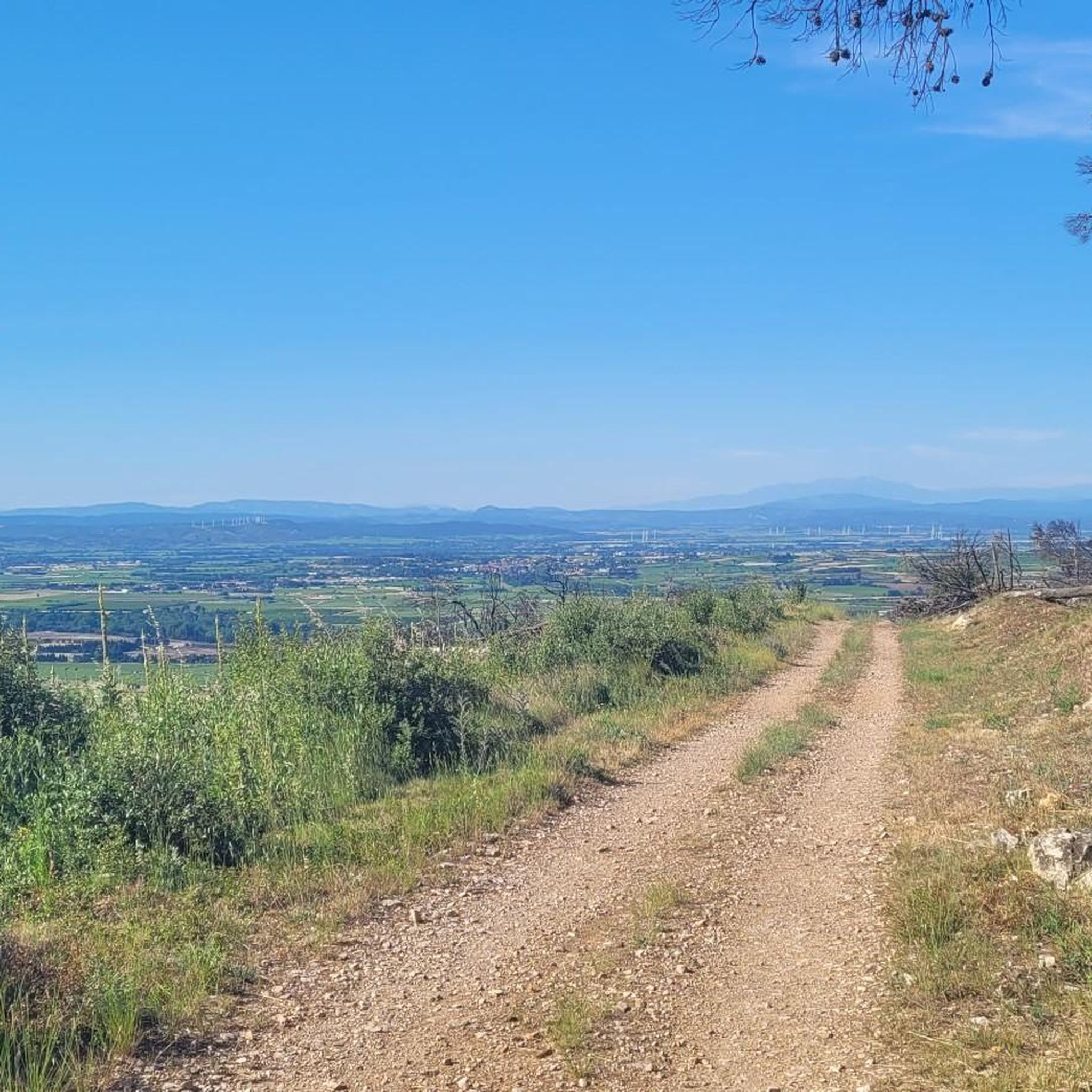
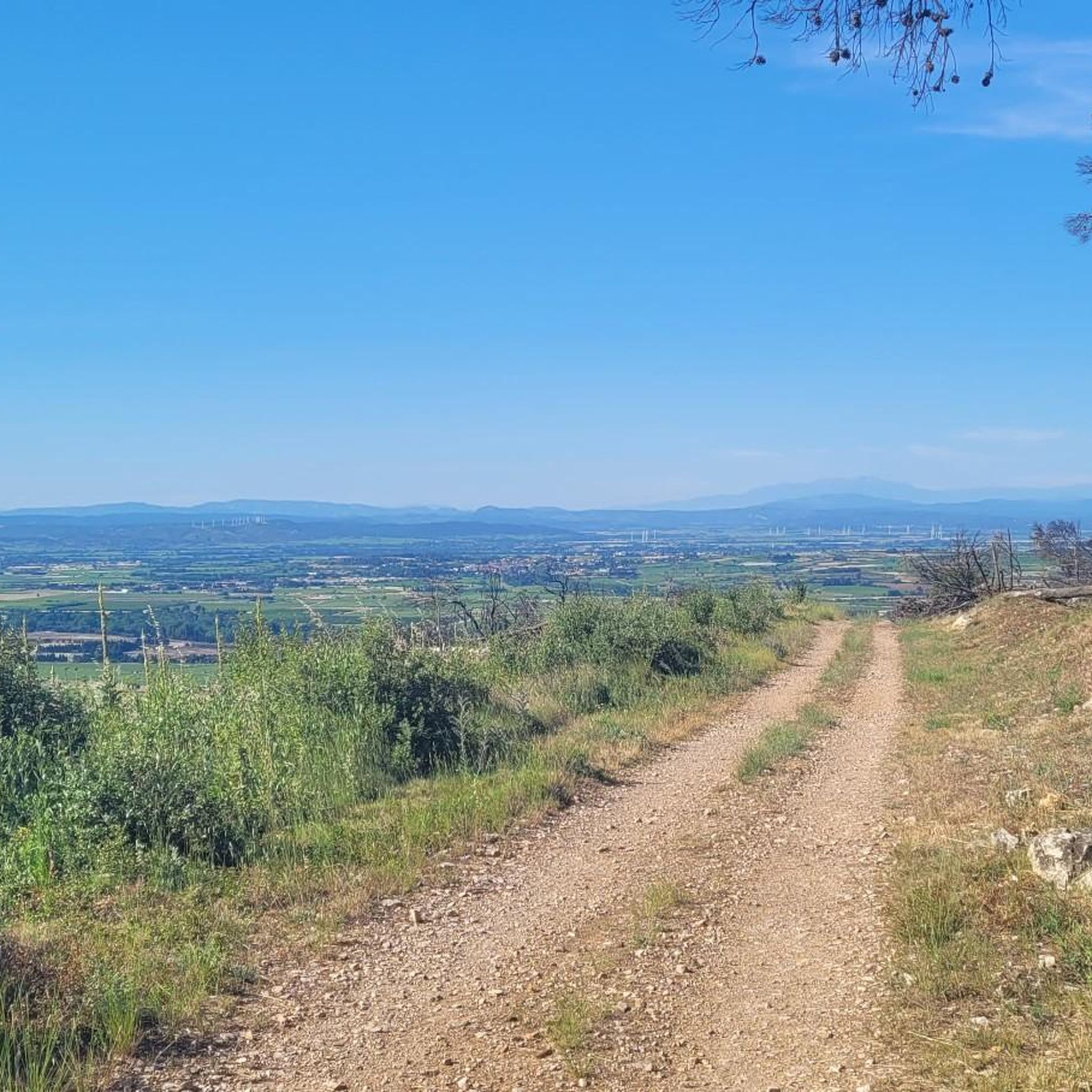
Several walking options are available. Either an out-and-back on the paved road starting from Cruzy (7.4km, 130m elevation gain), or a loop that turns towards Villespassans without actually reaching it, skirting around L'Estagnol and descending to the right to the Chapel of Sainte Foi (10km, 210m elevation gain). A small correction regarding the incorrect names: The first gorge at Roquefourcade (the village spring) is called Marie-Coquette, the ruined building after the small Chapel of Sainte Foi is called the Sainte Foi Sheepfold, and the second gorge that climbs towards Les Gyssières (Platières) is called Marie-Close. This walk is especially recommended after the spring rains when there is water in the Nazoure River and waterfalls at Marie-Close.
0
0

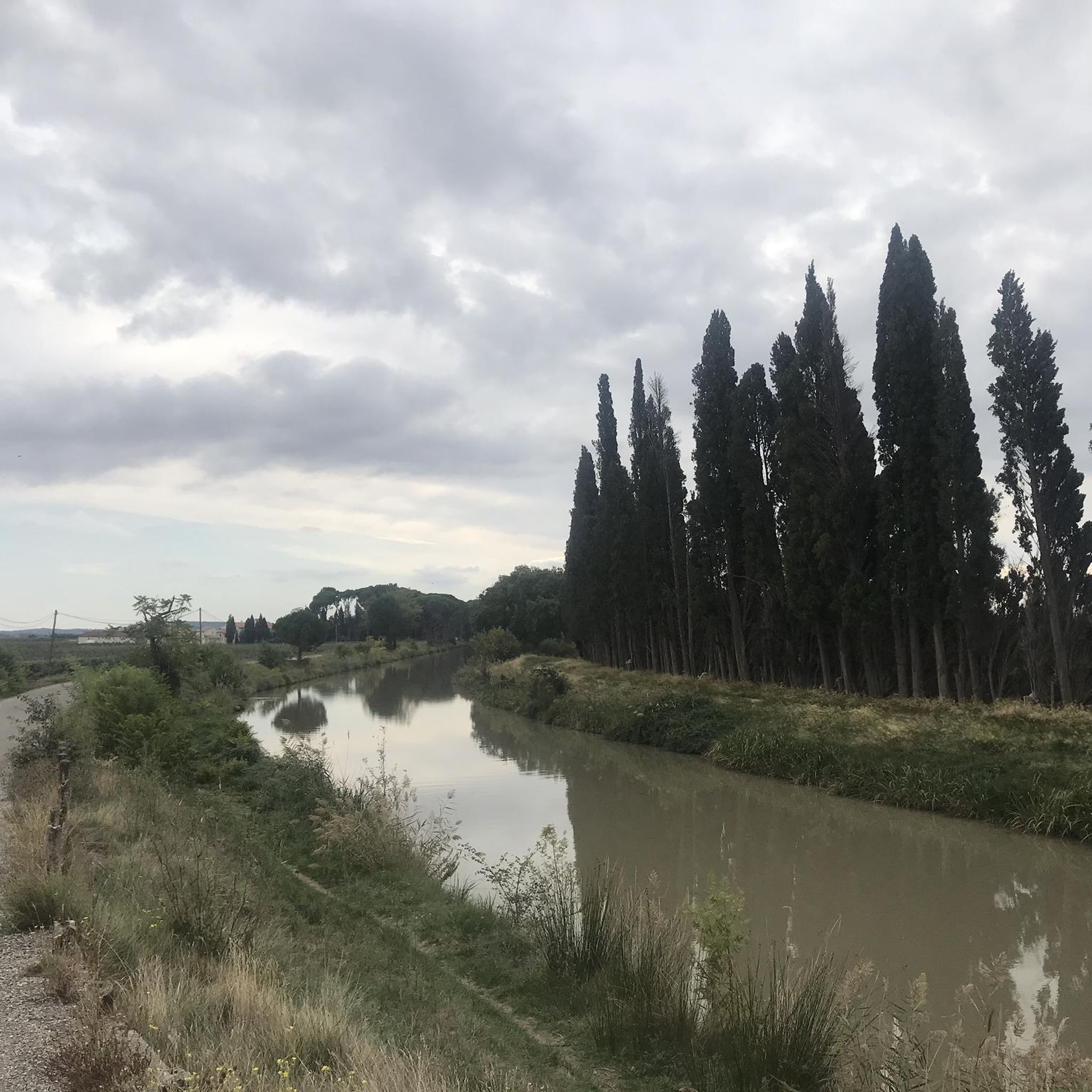
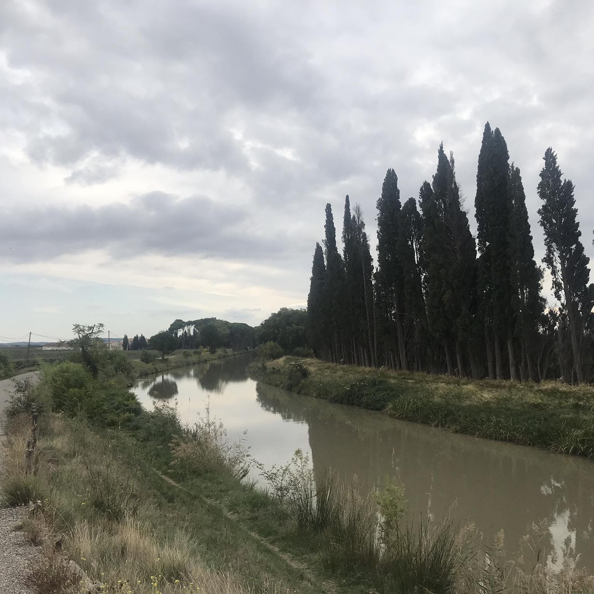
The section posted for this Highlight is in the town of Sallèles-d'Aude so you have a lot of people walking in this section. Dog walkers with dogs not on leads, families taking the whole path etc., so whilst it is pretty in can be annoying when biking, This was in the last days of Oct. '25 so I think in summer it would be almost impassable at times. The other way towards the Gailhousty Lock and eventually Narbonne is much quieter if you want to ride unhindered by walkers & dogs, especially if you take the wide gravel track on the other side of the canal from the Vioe Verte.
0
0


Pretty canal, shaded, bucolic. Don't miss the Gailhousty site, at the downstream outlet of the Jonction canal on the Aude river. This canal, put into operation in 1787, connects the Canal du Midi and the Robine de Narbonne canal. The Gailhousty site consists of a lock, a spillway, a bridge and a dry dock. Upstream of the lock, the canal is protected from the floods of the Aude thanks to a system of dikes that surround it up to Sallèles-d'Aude. Downstream of the lock is a space designed to be able to be submerged during heavy floods: the spillway. The bridge is designed to provide rapid access to all points of the site, is of neat architecture, with a low arched vault and four quarter-circle staircases placed at each corner. During floods, it is necessary to be able to react quickly and to manoeuvre the defence systems in time. Placed on the downstream head of the lock, it participates in the system of containing the strongest floods. The monumental spillway, 30 metres long, is located on the left bank of the canal between the Gailhousty lock and the Aude. Its front façade on the canal side is pierced with vertical crenellations that plunge into the water. At the back, it has 5 arched openings at the foot of which launches an 8km long landing channel called "La saignée" directed towards the Capestang pond. This building houses no fewer than 15 oversized valves. It is not intended to evacuate excess water from the Jonction canal but must allow the passage of flood water from the Aude river. Originally, it was planned that these waters loaded with fertile silt would be directed into the Capestang pond to fill it and promote crops there.
0
0
Superb site, at the downstream outlet of the Jonction canal on the Aude river. This canal, put into operation in 1787, allows to make the connection between the Canal du Midi and the Canal de la Robine de Narbonne. The Gailhousty site consists of a lock, a spillway, a bridge and a dry dock. Upstream of the lock, the canal is protected from the floods of the Aude thanks to a system of dikes which surround it up to Sallèles-d'Aude. Downstream of the lock is a space designed to be able to be submerged during heavy floods: the spillway. The bridge is designed to allow rapid access to all points of the site, is of a neat architecture, with a low arched vault and four quarter-circle staircases placed at each corner. In times of flood, it is necessary to be able to react quickly and maneuver the defense systems in time. Placed on the downstream head of the lock, it participates in the system of containing the strongest floods. The monumental spillway, 30 meters long, is located on the left bank of the canal between the Gailhousty lock and the Aude. Its front facade on the canal side is pierced with vertical crenellations that plunge into the water. At the back, it has 5 arched openings at the foot of which launches an 8km long landing channel called "La saignée" directed towards the Capestang pond. This building houses no less than 15 oversized valves. It is not intended to evacuate excess water from the Jonction canal but must allow the passage of flood water from the Aude river. Originally, it was planned that this water loaded with fertile silt would be directed into the Capestang pond to fill it and promote crops there.
0
0
Very pretty canal, less known than the Canal du Midi, shaded. Do not miss the Gailhousty site, at the downstream outlet of the Canal de Jonction on the Aude river. This canal, put into operation in 1787, allows to make the connection between the Canal du Midi and the Canal de la Robine de Narbonne. The Gailhousty site consists of a lock, a spillway, a bridge and a dry dock. Upstream of the lock, the canal is protected from the floods of the Aude thanks to a system of dikes which surround it up to Sallèles-d'Aude. Downstream of the lock is a space designed to be able to be submerged during heavy floods: the spillway. The bridge is designed to provide rapid access to all points of the site, is of neat architecture, with a low arched vault and four quarter-circle staircases placed at each corner. During floods, it is necessary to be able to react quickly and maneuver the defense systems in time. Placed on the downstream head of the lock, it participates in the system of containing the strongest floods. The monumental spillway, 30 meters long, is located on the left bank of the canal between the Gailhousty lock and the Aude. Its front facade on the canal side is pierced with vertical crenellations that plunge into the water. At the rear, it has 5 arched openings at the foot of which launches an 8km long landing channel called "La Saignée" directed towards the Capestang pond. This building houses no less than 15 oversized valves. It is not intended to evacuate excess water from the Jonction canal but must allow the passage of flood water from the Aude river. Originally, it was planned that this water loaded with fertile silt would be directed into the Capestang pond to fill it and promote crops there.
0
0
It is one of the most emblematic places on the canal: its buildings, its chapel, its inn, its humpback bridge, its stores, bear witness to the activity of the time around the canal. Once the work on the canal was finished, an administration was set up to manage navigation on the canal. Seven divisions were created along the canal. The Somail division covered 45 km. A passenger transport service was also set up, the stop at the Somail inn corresponded to the third day of navigation from Toulouse. The building even had a dungeon...
1
0

A very nice little place with lots of tourists, boats and cyclists. A typical stopover for many.
0
0
Frequently Asked Questions
What historical sites can I explore within Argeliers?
In Argeliers itself, you can visit the historic Château d'Argeliers, which dates back to the mid-12th century and was largely rebuilt in the 17th century. The Château d'Argeliers features a square tower and old surrounding walls. The Saint-Vincent Church is also a notable site. Additionally, Argeliers is the birthplace of Marcelin Albert, a key figure in the 1907 winegrowers' revolt.
What natural features and outdoor activities are available along the Canal du Midi near Argeliers?
Argeliers is situated directly on the banks of the Canal du Midi, a UNESCO World Heritage Site. This offers excellent opportunities for cycling along its towpaths and boating. Key points of interest include The Port of Somail, known for its picturesque setting, and the Junction of the Canal du Midi and the Canal de la Robine, which connects to the Mediterranean Sea. You can also see the impressive Gailhousty Lock and Spillway.
Are there family-friendly attractions or activities around Argeliers?
Yes, many attractions around Argeliers are family-friendly. Cycling or walking along the Canal du Midi is a popular activity for all ages. The Port of Somail offers a charming setting with shops and cafes. The nearby village of Bize-Minervois, just 3 km away, has a popular swimming river, perfect for families during warmer months. The Narbonnaise en Méditerranée Natural Regional Park also provides opportunities for exploring nature with children.
What ancient Roman or archaeological sites can I visit near Argeliers?
Approximately 4.4 km from Argeliers, you can visit Amphoralis, a museum dedicated to Gallo-Roman pottery. Further afield, about 16.1 km away, is the Oppidum d'Ensérune, an ancient archaeological site perched on a hill offering panoramic views and listed as a UNESCO World Heritage site.
Where can I find local produce and vineyards near Argeliers?
Argeliers is known for its local producers. You can find olive oil and truffle estates like Le Mas d'Antonin, as well as vineyards such as Domaine Monastrel and Château Landure, which often offer direct sales of their products.
What are some notable medieval towns or abbeys in the vicinity of Argeliers?
The picturesque medieval town of Minerve, recognized as one of France's Most Beautiful Villages, is about 14 km from Argeliers. Additionally, the stunning Fontfroide Abbey, a 12th-century Cistercian monastery often called a 'jewel of the Corbières,' is located about 20 km away.
What kind of cycling routes are available near Argeliers?
The area around Argeliers offers a variety of cycling routes, particularly along the Canal du Midi. For gravel biking, you can find routes like the 'Canal at Sallèles – Via Domitia loop from Argeliers' or 'The Port of Somail – Le Somail loop from Sallèles-d'Aude'. You can explore more options on the Gravel biking around Argeliers guide.
Are there opportunities for mountain biking near Argeliers?
Yes, there are several mountain biking trails. For example, you can find routes like 'Trail de Bize loop from Bize-Minervois' or 'Le Rocher de Bize – Paragliding Ridge Trail loop from Bize-Minervois'. More details on these and other trails can be found in the MTB Trails around Argeliers guide.
What running trails are available in the Argeliers area?
Runners can enjoy trails such as 'La Cesse Aqueduct – The Port of Somail loop from Pont-Canal de Cesse' or 'Canal at Sallèles – La Cesse Aqueduct loop from Pont-Canal de Cesse'. For more running options, check out the Running Trails around Argeliers guide.
What is the Narbonnaise en Méditerranée Natural Regional Park, and how far is it from Argeliers?
The Narbonnaise en Méditerranée Natural Regional Park is a protected area featuring preserved wild landscapes, including sandy beaches, lagoons, garrigue, and rocky escarpments. It's an excellent spot for nature lovers and is located approximately 18.7 km from Argeliers.
What is the best time of year to visit Argeliers for outdoor activities?
The region generally enjoys a Mediterranean climate. Spring and autumn offer pleasant temperatures for cycling, hiking, and exploring historical sites without the intense heat of summer. Summer is ideal for activities involving water, such as swimming in the river at Bize-Minervois or boating on the Canal du Midi, though it can be quite warm.
What city of art and history is located near Argeliers?
The city of Narbonne, approximately 16 km southeast of Argeliers, is a significant city of art and history. It boasts a Gothic cathedral and the Archbishops' Palace, offering rich cultural experiences.
Most popular routes around Argeliers

Get inspired with the komoot mobile app


Explore more
Still not found the Highlight you’re looking for? See guides of the top attractions in other regions:
