The best running trails around Argeliers
4.1
(106)
1,363
runners
164
runs
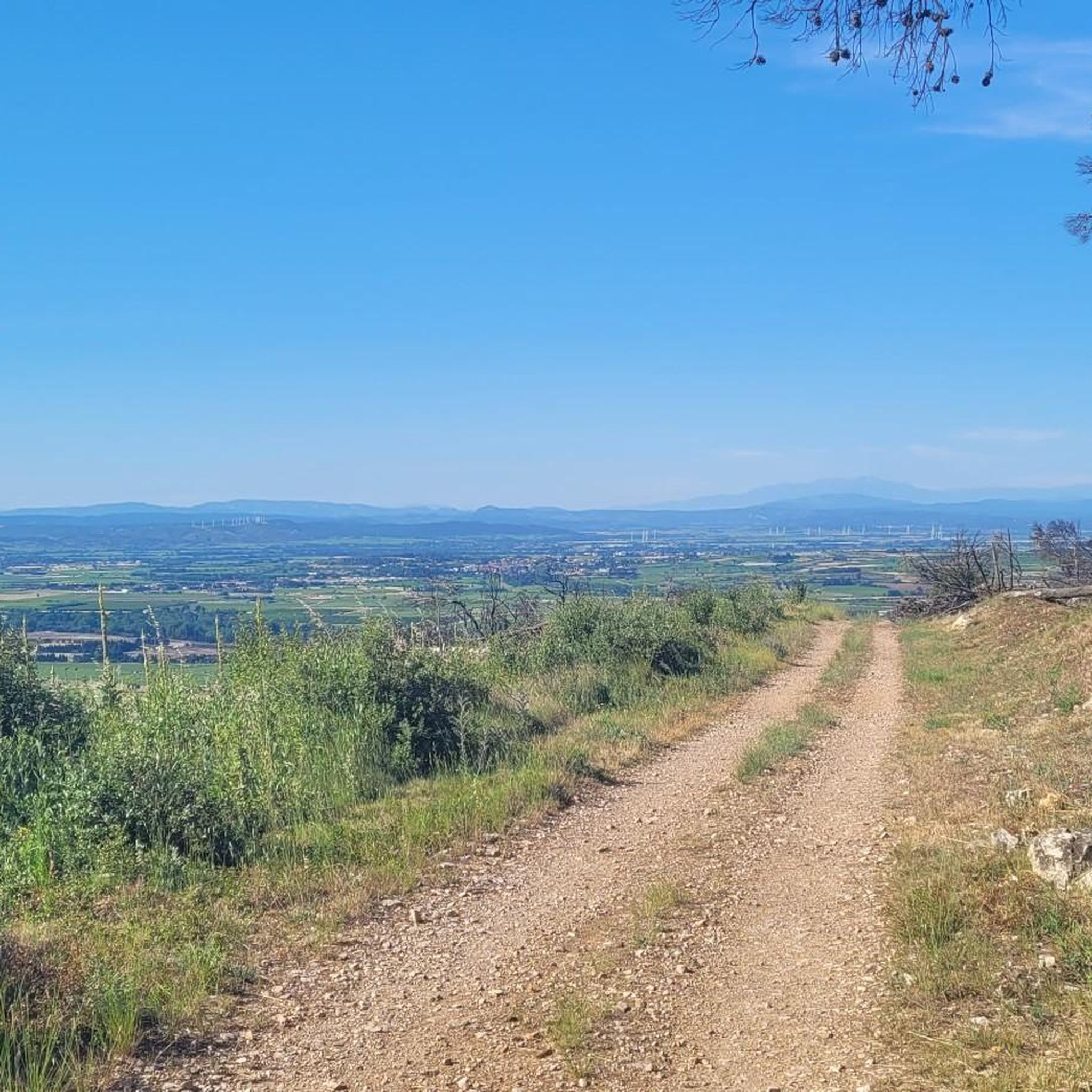
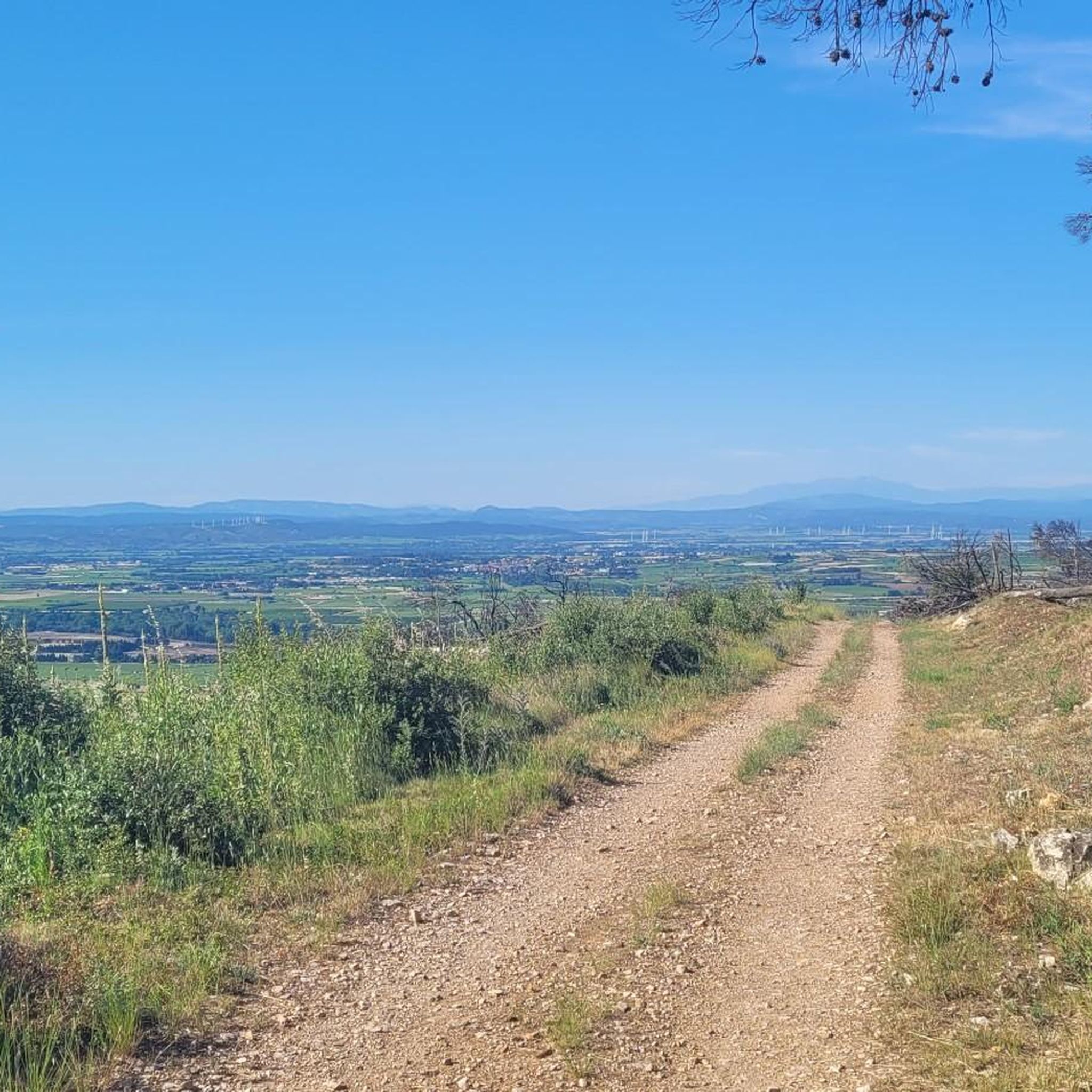
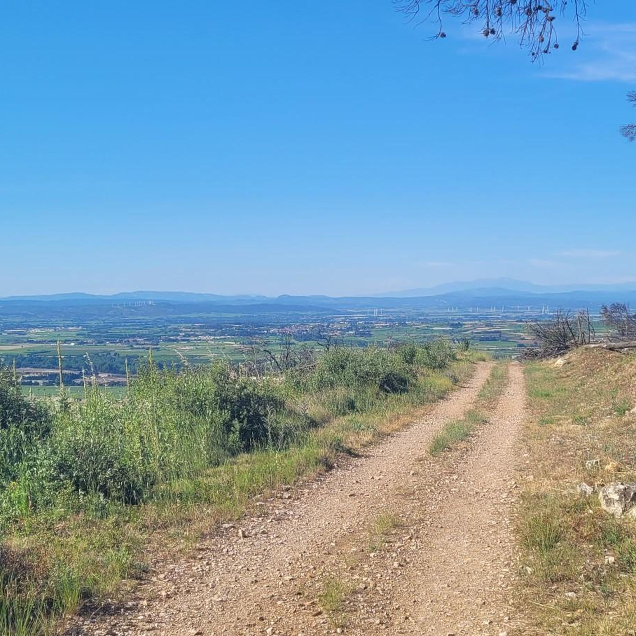
Jogging around Argeliers offers diverse landscapes, from the tranquil banks of the Canal du Midi to the rolling hills of the Minervois vineyards. The region is situated in the Narbonne plain, providing a mix of relatively flat paths and varied terrain suitable for different running preferences. This area is characterized by its agricultural scenery and accessible natural features, making it an appealing destination for outdoor activities.
Best jogging routes around Argeliers
- The most popular jogging route is La Cesse Aqueduct…
Last updated: May 24, 2026
26
runners
Moderate run. Good fitness required. Mostly paved surfaces. Suitable for all skill levels.
12
runners
Moderate run. Good fitness required. Mostly paved surfaces. Suitable for all skill levels.

Sign up for free
5.0
(1)
7
runners
10.1km
01:07
170m
170m
Moderate run. Good fitness required. Mostly paved surfaces. Suitable for all skill levels.
10
runners
18.9km
02:14
460m
460m
Hard run. Very good fitness required. Mostly accessible paths. Some sure footedness required.
6
runners
15.6km
01:36
30m
30m
Hard run. Very good fitness required. Mostly paved surfaces. Suitable for all skill levels.
Get access to more routes and recommendations from other explorers.
Sign up for free
Already have an account?
Our route recommendations are based on thousands of hikes, rides, and runs completed by other people on komoot.
Start today with a free account
Your next adventure awaits.
Login or Signup

Tips from the Community

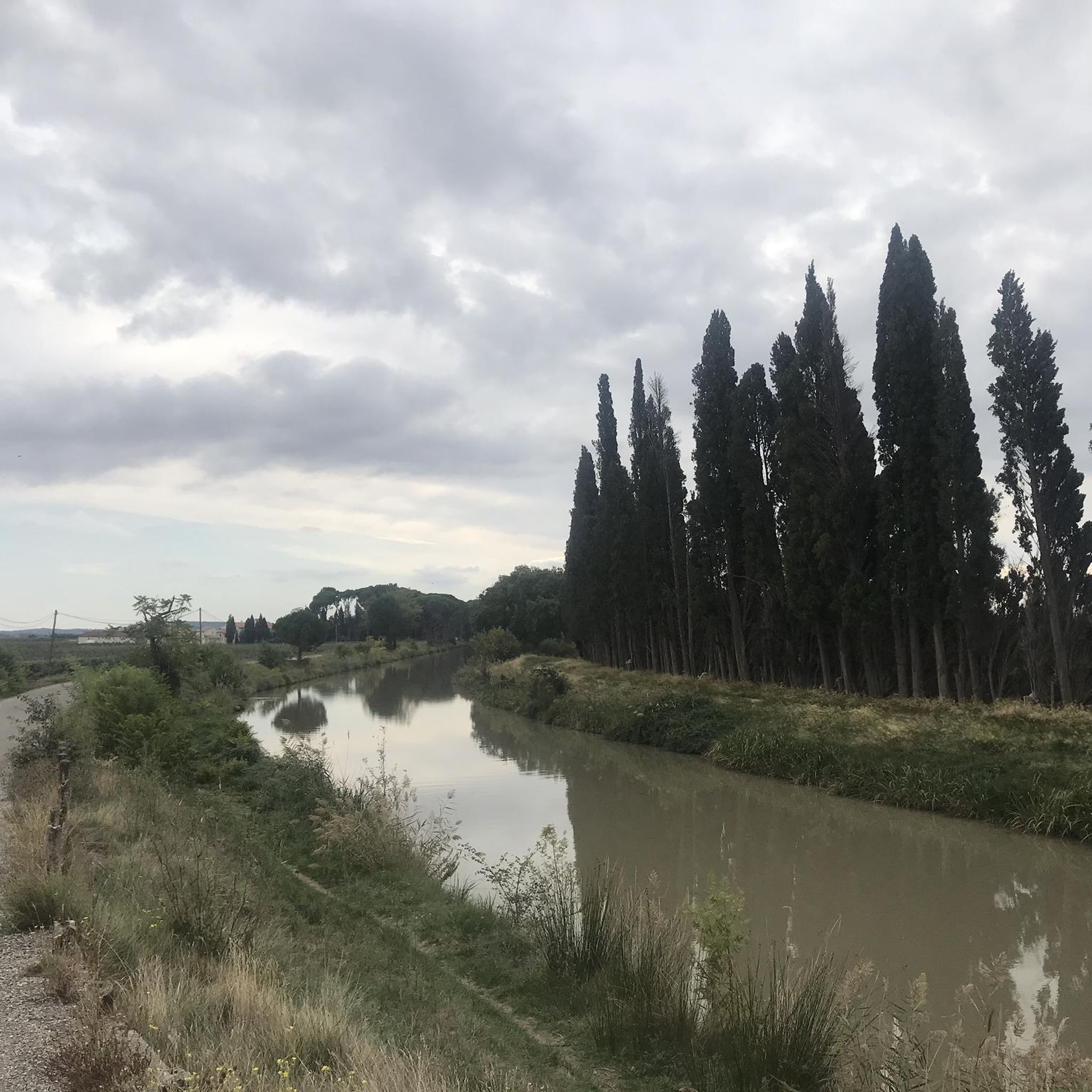
The section posted for this Highlight is in the town of Sallèles-d'Aude so you have a lot of people walking in this section. Dog walkers with dogs not on leads, families taking the whole path etc., so whilst it is pretty in can be annoying when biking, This was in the last days of Oct. '25 so I think in summer it would be almost impassable at times. The other way towards the Gailhousty Lock and eventually Narbonne is much quieter if you want to ride unhindered by walkers & dogs, especially if you take the wide gravel track on the other side of the canal from the Vioe Verte.
0
0


Pretty canal, shaded, bucolic. Don't miss the Gailhousty site, at the downstream outlet of the Jonction canal on the Aude river. This canal, put into operation in 1787, connects the Canal du Midi and the Robine de Narbonne canal. The Gailhousty site consists of a lock, a spillway, a bridge and a dry dock. Upstream of the lock, the canal is protected from the floods of the Aude thanks to a system of dikes that surround it up to Sallèles-d'Aude. Downstream of the lock is a space designed to be able to be submerged during heavy floods: the spillway. The bridge is designed to provide rapid access to all points of the site, is of neat architecture, with a low arched vault and four quarter-circle staircases placed at each corner. During floods, it is necessary to be able to react quickly and to manoeuvre the defence systems in time. Placed on the downstream head of the lock, it participates in the system of containing the strongest floods. The monumental spillway, 30 metres long, is located on the left bank of the canal between the Gailhousty lock and the Aude. Its front façade on the canal side is pierced with vertical crenellations that plunge into the water. At the back, it has 5 arched openings at the foot of which launches an 8km long landing channel called "La saignée" directed towards the Capestang pond. This building houses no fewer than 15 oversized valves. It is not intended to evacuate excess water from the Jonction canal but must allow the passage of flood water from the Aude river. Originally, it was planned that these waters loaded with fertile silt would be directed into the Capestang pond to fill it and promote crops there.
0
0
Very beautiful work of art on the Canal du Midi
0
0
Very pretty canal, less known than the Canal du Midi, shaded. Do not miss the Gailhousty site, at the downstream outlet of the Canal de Jonction on the Aude river. This canal, put into operation in 1787, allows to make the connection between the Canal du Midi and the Canal de la Robine de Narbonne. The Gailhousty site consists of a lock, a spillway, a bridge and a dry dock. Upstream of the lock, the canal is protected from the floods of the Aude thanks to a system of dikes which surround it up to Sallèles-d'Aude. Downstream of the lock is a space designed to be able to be submerged during heavy floods: the spillway. The bridge is designed to provide rapid access to all points of the site, is of neat architecture, with a low arched vault and four quarter-circle staircases placed at each corner. During floods, it is necessary to be able to react quickly and maneuver the defense systems in time. Placed on the downstream head of the lock, it participates in the system of containing the strongest floods. The monumental spillway, 30 meters long, is located on the left bank of the canal between the Gailhousty lock and the Aude. Its front facade on the canal side is pierced with vertical crenellations that plunge into the water. At the rear, it has 5 arched openings at the foot of which launches an 8km long landing channel called "La Saignée" directed towards the Capestang pond. This building houses no less than 15 oversized valves. It is not intended to evacuate excess water from the Jonction canal but must allow the passage of flood water from the Aude river. Originally, it was planned that this water loaded with fertile silt would be directed into the Capestang pond to fill it and promote crops there.
0
0
It is one of the most emblematic places on the canal: its buildings, its chapel, its inn, its humpback bridge, its stores, bear witness to the activity of the time around the canal. Once the work on the canal was finished, an administration was set up to manage navigation on the canal. Seven divisions were created along the canal. The Somail division covered 45 km. A passenger transport service was also set up, the stop at the Somail inn corresponded to the third day of navigation from Toulouse. The building even had a dungeon...
1
0

A special canal bridge on the Canal du Midi.
0
0
A very nice little place with lots of tourists, boats and cyclists. A typical stopover for many.
0
0
Frequently Asked Questions
What kind of running routes can I expect around Argeliers?
Argeliers offers a diverse range of running experiences. You'll find tranquil paths along the Canal du Midi, picturesque trails winding through the Minervois vineyards, and open stretches across the Narbonne plain. This variety caters to different preferences, from flat, scenic runs to more challenging routes with elevation changes.
Are there many easy running trails for beginners or casual joggers?
Yes, Argeliers has several easy running options. The paths along the Canal du Midi are particularly suitable, offering mostly flat and accessible terrain. In total, there are 11 easy routes available, perfect for a relaxed jog or for those new to running in the area.
Can I find circular running routes in the Argeliers area?
Absolutely. Many routes around Argeliers are designed as loops, allowing you to start and finish in the same location. For example, the La Cesse Aqueduct – The Port of Somail loop from Pont-Canal de Cesse is a popular 5.8 km circular trail that takes you along the Canal du Midi and past the charming Port of Somail.
What are some notable landmarks or points of interest I might see on a run?
Running around Argeliers offers glimpses of local history and natural beauty. You can pass by the historic Port of Somail, a picturesque stop on the Canal du Midi. Other highlights include the Junction of the Canal du Midi and the Canal de la Robine, and the impressive Gailhousty Lock and Spillway. The region's vineyards also offer beautiful scenery.
Are there any longer or more challenging running routes for experienced runners?
For those seeking a greater challenge, Argeliers provides several difficult routes. The Fontaine Romaine – Four à chaux loop from Bize-Minervois is an 18.9 km trail with significant elevation gain, typically completed in over 2 hours. There are 25 difficult routes in total, offering varied terrain and rewarding climbs.
Is Argeliers a good place for family-friendly jogging?
Yes, the flat and well-maintained paths along the Canal du Midi are excellent for family-friendly jogging. These routes are generally safe and offer scenic views without significant challenges, making them suitable for all ages to enjoy together.
What do other runners think about the trails in Argeliers?
The running routes in Argeliers are highly regarded by the komoot community, holding an average rating of 4.1 out of 5 stars from over 90 reviews. Many runners appreciate the tranquil canal-side paths and the beautiful vineyard scenery.
Are dogs allowed on the running trails around Argeliers?
Generally, dogs are welcome on many of the outdoor trails in the Argeliers region, especially on the canal paths and through vineyards. However, it's always recommended to keep them on a leash and be mindful of local regulations, particularly in agricultural areas or near wildlife.
What is the best time of year to go running in Argeliers?
The spring and autumn months are often considered ideal for running in Argeliers, offering pleasant temperatures and beautiful landscapes as the vineyards change color. Summer can be warm, so early morning or late evening runs are preferable during this season.
Are there any running routes that include a stop for refreshments or a cafe?
While specific cafes directly on every route aren't listed, many routes along the Canal du Midi pass through or near villages like Le Somail. The La Cesse Aqueduct – The Port of Somail loop, for instance, takes you right past the Port of Somail, where you can often find charming spots for a break and refreshments.
How accessible are the running routes by public transport or car parking?
While specific public transport links to trailheads might be limited, many routes, especially those along the Canal du Midi, are accessible from various points. For car parking, you'll often find designated areas in villages like Argeliers or near popular starting points along the canal, making it convenient to access the trails.
Beyond the Canal du Midi, what other natural landscapes can I explore while running?
Beyond the iconic Canal du Midi, you can explore the expansive vineyards of the Minervois wine region, offering rolling hills and agricultural scenery. The broader Narbonne plain provides open, flat areas for longer runs, and for those willing to venture slightly further, the Narbonnaise en Méditerranée Regional Natural Park offers wilder landscapes.
Most popular attractions around Argeliers

Get inspired with the komoot mobile app


Explore more
Browse the best Running Trails & Routes in other regions.
