The best road cycling routes around Vergoncey
4.5
(73)
2,162
riders
149
rides
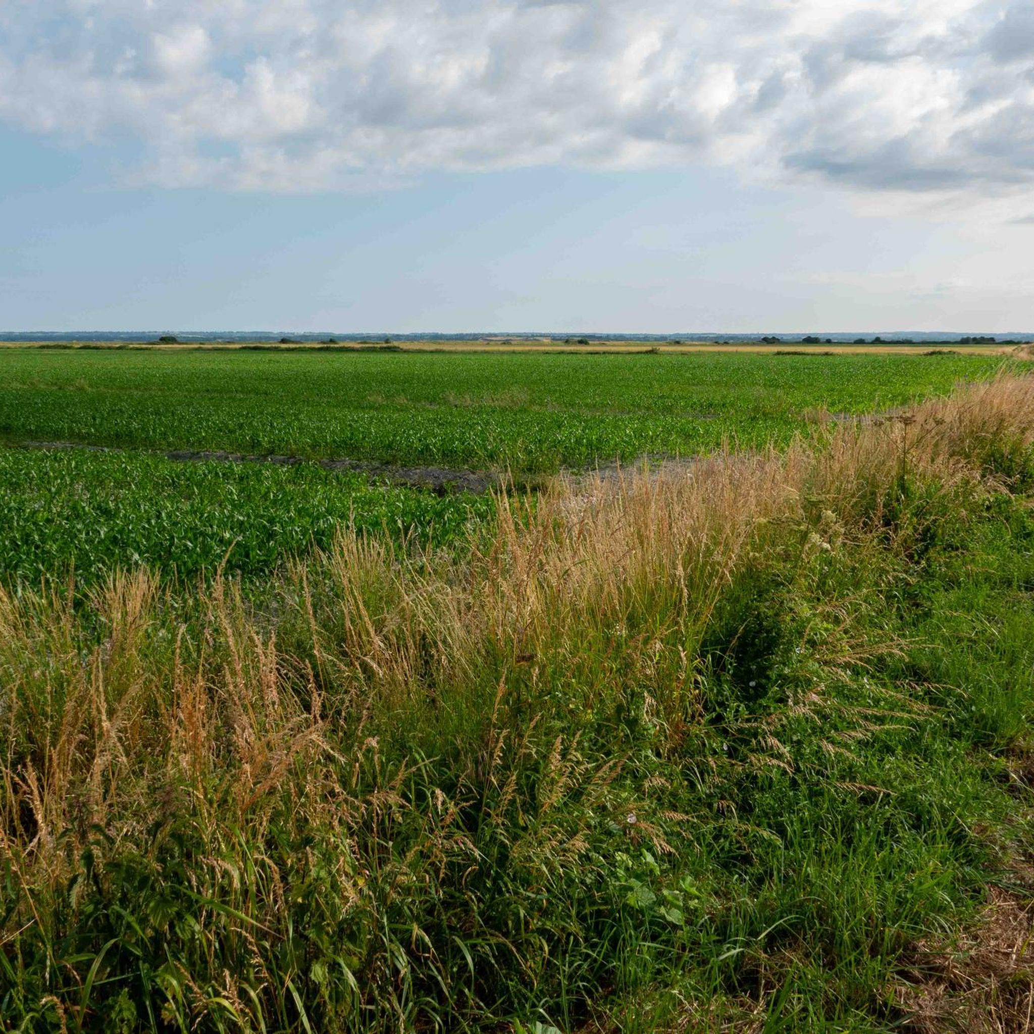
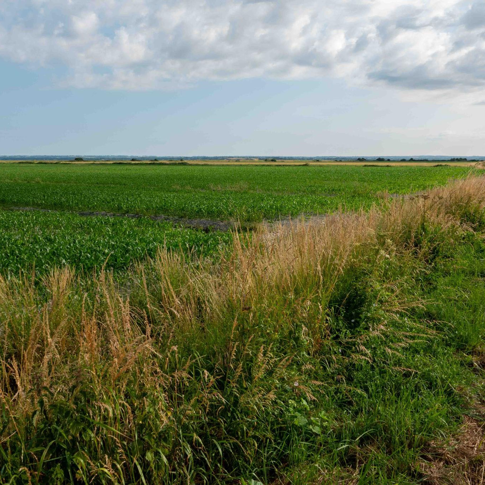
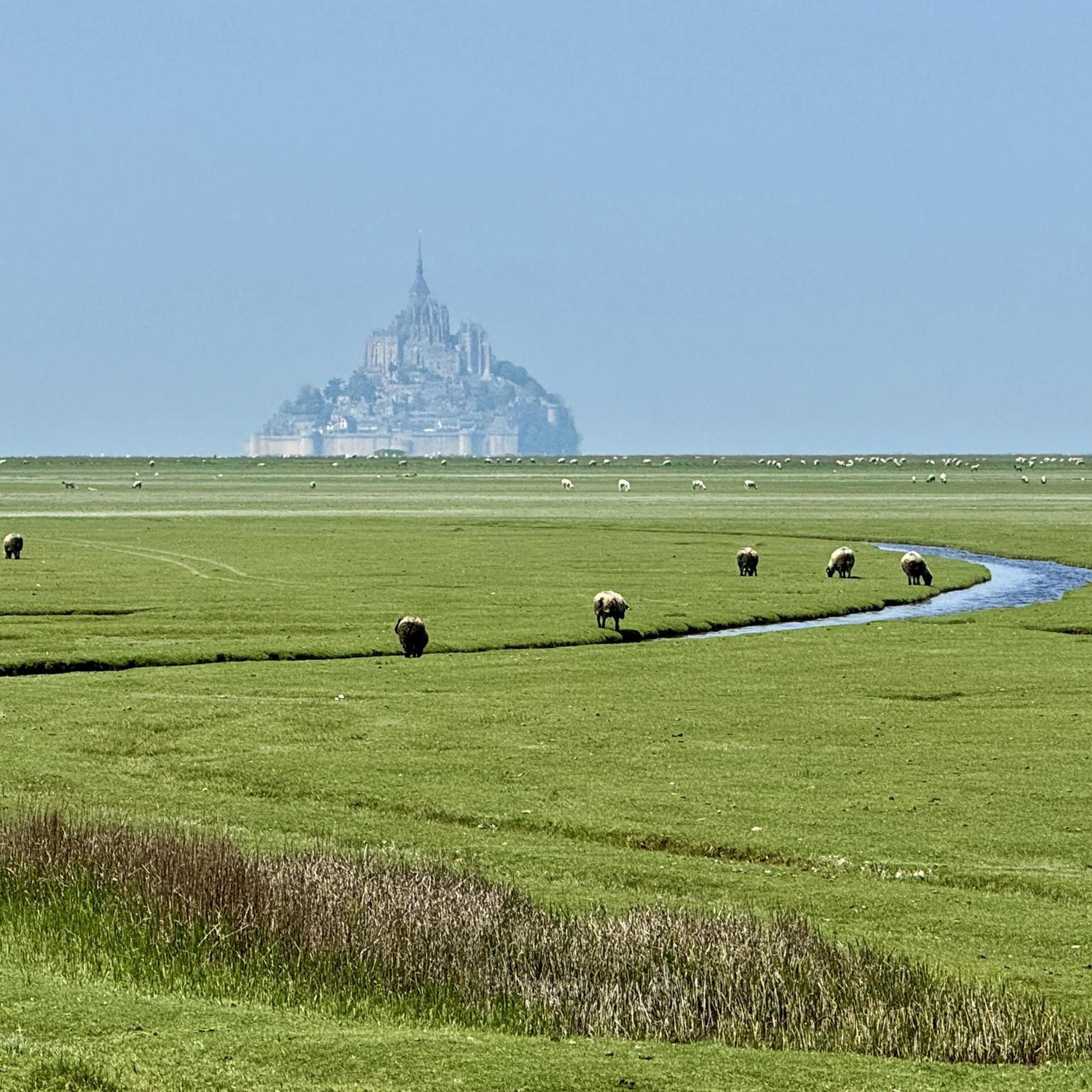
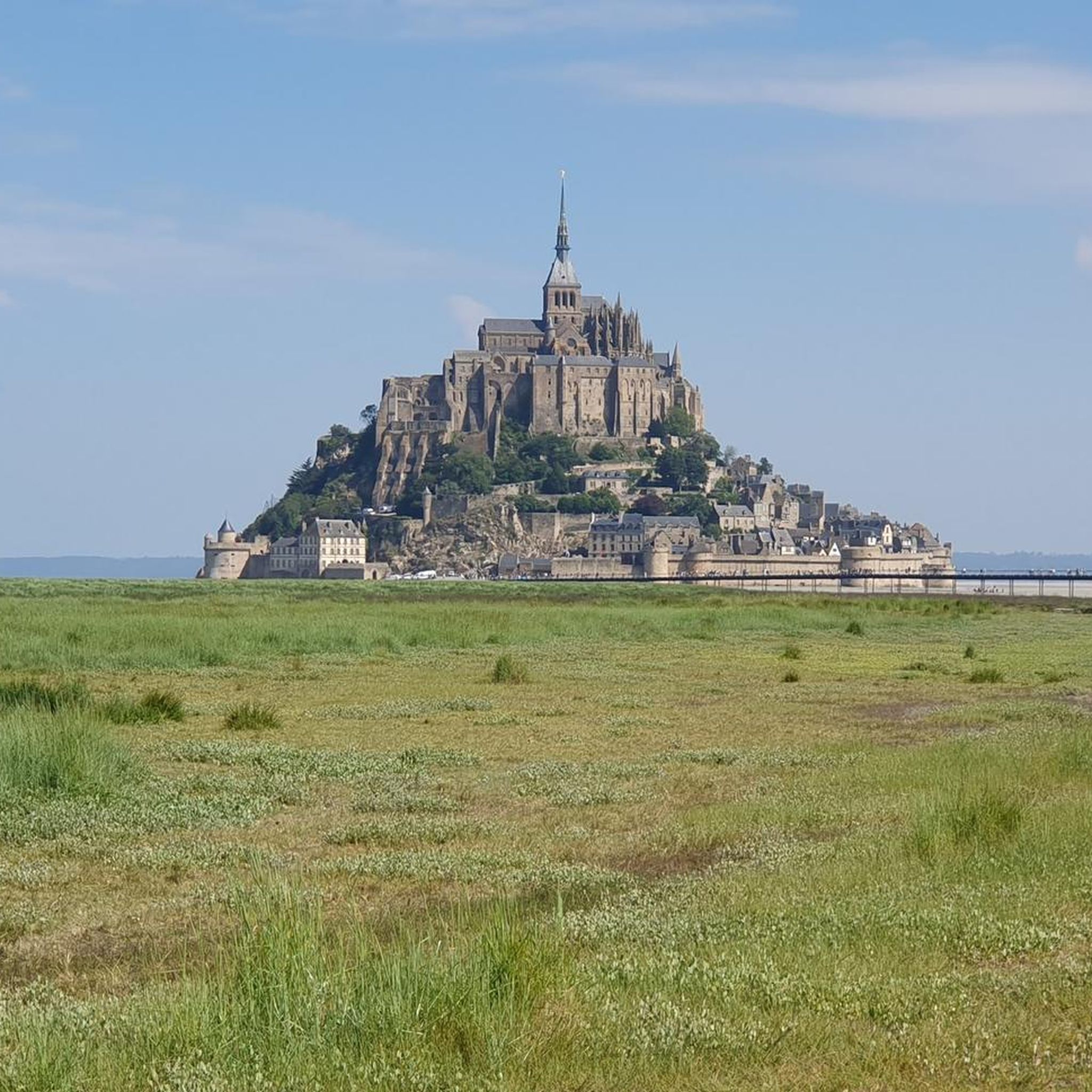
Road cycling routes around Vergoncey traverse a landscape characterized by green bocage, wild marshes, and a captivating countryside. The terrain in the immediate vicinity of Vergoncey ranges from 16 to 87 meters in altitude, offering gently undulating routes. The region is strategically located near the Bay of Mont-Saint-Michel, providing views of the iconic abbey along the Couesnon river and its dam. This diverse geography offers varied backdrops for road cyclists.
Best road cycling routes around Vergoncey
- The most popular road…
Last updated: July 5, 2026
4.0
(2)
12
riders
45.2km
01:55
250m
250m
Easy road ride. Great for any fitness level. Mostly well-paved surfaces and easy to ride.
4.6
(9)
212
riders
106km
04:36
340m
340m
Moderate road ride. Good fitness required. Some segments of this route may be unpaved and difficult to ride.

Sign up for free
113
riders
96.7km
04:11
510m
510m
Moderate road ride. Good fitness required. Some segments of this route may be unpaved and difficult to ride.
3.0
(1)
51
riders
57.0km
02:21
330m
330m
Moderate road ride. Good fitness required. Some segments of this route may be unpaved and difficult to ride.
5.0
(1)
53
riders
Moderate road ride. Great for any fitness level. Some segments of this route may be unpaved and difficult to ride.
Get access to more routes and recommendations from other explorers.
Sign up for free
Already have an account?
Our route recommendations are based on thousands of hikes, rides, and runs completed by other people on komoot.
Start today with a free account
Your next adventure awaits.
Login or Signup

Tips from the Community


This is all about oysters. The bay is full of oyster beds, which are immediately consumed at the harbor.
0
0

Parts of the route along the sea do not exist or are forbidden for bicycles
0
0

Old priory attached to Mont Saint Michel, the ultimate stage for pilgrims before the Merveille.
0
0

A must-see with the miller as your guide
0
0


Very pretty chapel, well maintained on the sea wall facing the bay of Mont-Saint-Michel.
0
0
Beautiful views of Mont-Saint-Michel Bay. Several picnic benches and a lovely lawn are available for a nap after a long hike.
0
0
Frequently Asked Questions
What kind of terrain can I expect when road cycling around Vergoncey?
The terrain around Vergoncey is characterized by a gently undulating landscape, with altitudes ranging from 16 to 87 meters in its immediate vicinity. You'll encounter green bocage landscapes, wild marshes, and a captivating countryside. The broader Manche department also offers coastal routes and more challenging hilly areas, particularly towards "Suisse Normande," providing a diverse cycling experience.
Are there road cycling routes suitable for beginners in Vergoncey?
Yes, Vergoncey offers routes suitable for various skill levels. For beginners, there are 21 easy routes available. An excellent option is the Tour to the visit of Mont Saint Michel, an easy 28.1-mile (45.2 km) trail that provides direct access and views towards the historic Mont Saint-Michel.
What are the most scenic landmarks or viewpoints along the road cycling routes?
Many routes offer breathtaking views of the iconic Mont Saint-Michel, especially along the Couesnon river and its dam. Other notable sights include the Grouin du Sud viewpoint, the Banks of the Sélune at Pontaubault, and the Sélune Estuary, all offering picturesque natural beauty.
Are there challenging road cycling routes for experienced cyclists?
Absolutely. While Vergoncey itself has gently undulating terrain, the broader Manche department features "cyclosport" circuits with significant elevation gains and varying difficulties, particularly in the Southern Manche hills and valleys, and the demanding La Hague cycle route. These routes are tested and approved by professional cyclists, offering a dynamic experience with constant rollers and changing winds.
What do other road cyclists enjoy most about road cycling in Vergoncey?
The area is highly rated by the komoot community, with an average score of 4.7 stars from over 60 reviews. Cyclists often praise the diverse landscapes, from green bocage to wild marshes, and the unparalleled views of Mont-Saint-Michel. The extensive network of routes catering to different ability levels is also a significant draw.
Are there circular road cycling routes available near Vergoncey?
Yes, many routes are designed as loops, allowing you to start and end in the same location. For example, the Cancale – View of Mont Saint-Michel loop from Courtils is a moderate 61.6-mile (99.1 km) path offering extensive views of Mont Saint-Michel and exploring the coastal area near Cancale. Another option is The dam on the Couesnon – View of Mont Saint-Michel loop from Courtils.
What is the best time of year for road cycling around Vergoncey?
The region is generally pleasant for cycling from spring through autumn. The varied landscapes, from rolling countryside to coastal views, are beautiful in milder weather. It's always advisable to check local weather forecasts closer to your visit, as Normandy can experience changing winds.
Can I find cafes or accommodation along the road cycling routes?
The region around Vergoncey, especially near popular attractions like Mont-Saint-Michel and in the charming villages, offers various options for cafes, restaurants, and accommodation. While specific stops aren't listed for every route, the well-developed cycling infrastructure and tourist-friendly nature of the area mean you'll find places to refresh and stay.
How many road cycling routes are available around Vergoncey?
There are over 130 road cycling routes available around Vergoncey, catering to a wide range of preferences and skill levels. This includes 21 easy routes, 108 moderate routes, and 10 difficult routes, ensuring there's something for everyone.
Is Vergoncey well-connected to major cycling networks?
Yes, Vergoncey is strategically located within a vast cycling network. It's near the Véloscénie, a renowned 450 km cycling route from Paris to Mont-Saint-Michel. The Manche department boasts over 1,200 km of cycle routes, including parts of the Vélomaritime (EuroVelo 4) and routes tracing the D-Day beaches, offering extensive exploration opportunities.
Are there any family-friendly road cycling options in the area?
While specific 'family-friendly' designations for road cycling can vary, the numerous easy and moderate routes with gently undulating terrain are generally suitable for families with older children or those comfortable with longer distances. The greenways and shared roads that lead towards Mont-Saint-Michel offer a safer and more relaxed cycling environment.
Where can I find parking for my car when starting a road cycling route?
Parking is generally available in and around Vergoncey, as well as in the nearby towns and villages that serve as common starting points for cycling routes. Look for designated parking areas in village centers or near popular attractions like Mont-Saint-Michel, which often have facilities for visitors.
Most popular attractions around Vergoncey

Get inspired with the komoot mobile app


Explore more
Browse the best Road cycling routes in other regions.
