The best walks and hikes around Vergoncey
4.4
(1792)
24,678
hikers
186
hikes
Hiking around Vergoncey offers routes through a landscape characterized by coastal views, particularly of Mont Saint-Michel, and gentle terrain. The region features paths connecting small villages and natural viewpoints, often with minimal elevation changes. Trails frequently traverse open countryside and offer perspectives of the bay. The area provides a network of paths suitable for various hiking abilities.
Best hiking trails around Vergoncey
- The most popular hiking route is Le Marquis de la Guintré – La Roche Torin loop from Huisnes-sur-Mer…
Last updated: August 15, 2026
4.6
(21)
52
hikers
9.88km
02:33
50m
50m
Moderate hike. Good fitness required. Easily-accessible paths. Suitable for all skill levels.
4.8
(9)
26
hikers
Moderate hike. Good fitness required. Easily-accessible paths. Suitable for all skill levels.

Sign up for free
4.7
(22)
181
hikers
Moderate hike. Good fitness required. Easily-accessible paths. Suitable for all skill levels.
4.6
(18)
47
hikers
Easy hike. Great for any fitness level. Easily-accessible paths. Suitable for all skill levels.
5.0
(2)
35
hikers
18.5km
04:46
90m
90m
Moderate hike. Good fitness required. Easily-accessible paths. Suitable for all skill levels.
Get access to more routes and recommendations from other explorers.
Sign up for free
Already have an account?
Our route recommendations are based on thousands of hikes, rides, and runs completed by other people on komoot.
Start today with a free account
Your next adventure awaits.
Login or Signup



Tips from the Community

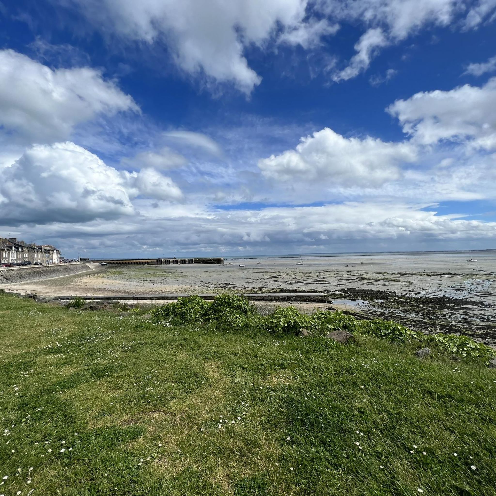
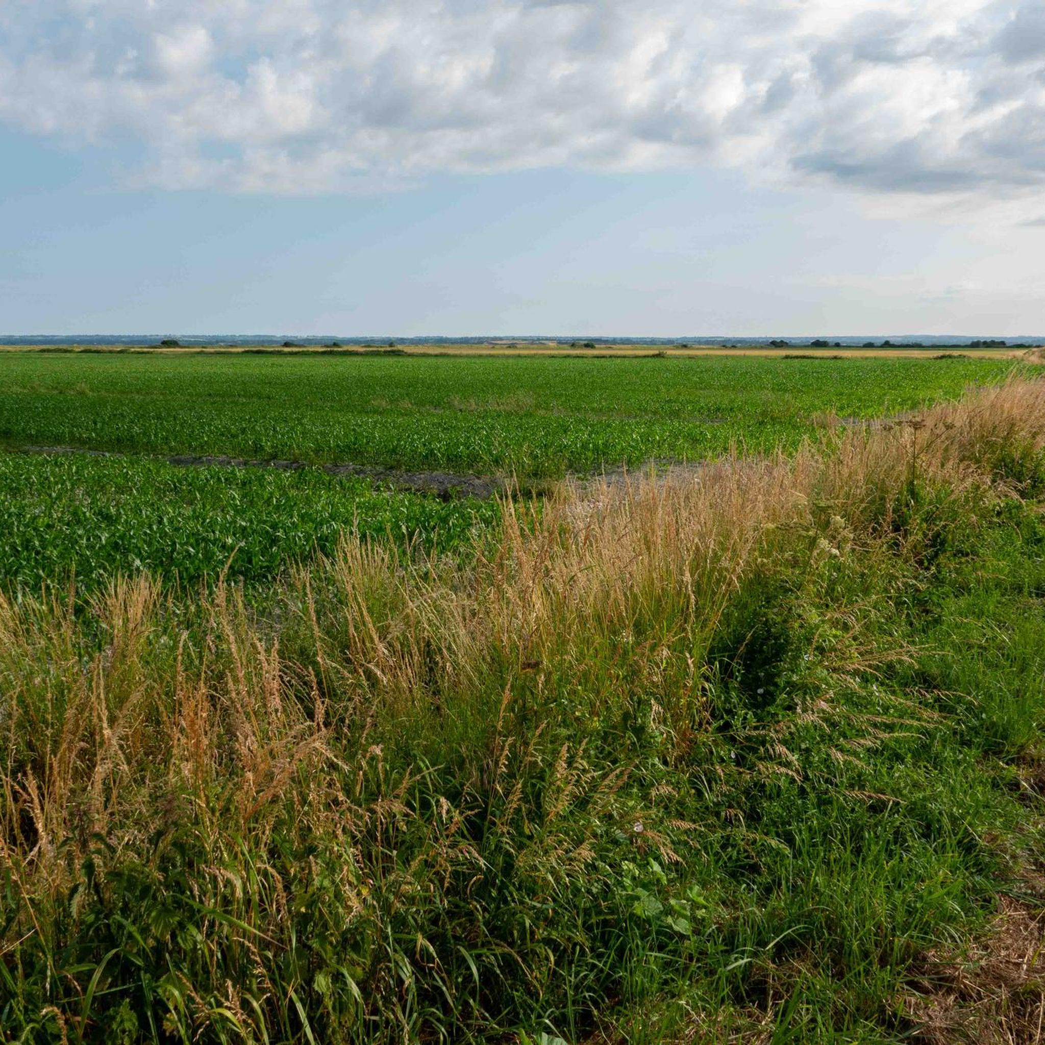
Numerous tidal creeks crisscross the meadows, channeling seawater through the vast area at low and high tide. These small watercourses, with their reflections and wide grassy areas, also form a popular photo spot and offer impressive motifs, especially with Mont-Saint-Michel in the background.
34
0

Great what they had already created back then !!
0
2


Arrive there quite early in the morning, then you will avoid the biggest crowds
1
0

Sometimes the barriers close across the cycleway to allow the sheep to cross from the marshes to the farm. A bit like a level crossing
0
0
La Roche Torin is a prominent vantage point in the Bay of Mont Saint-Michel. This spot offers a unique view of the bay and is a popular destination for hikers and photographers, especially during strong tides (coefficient over 100). The tidal coefficient is the most important indicator for assessing the dynamics of the bay. A coefficient over 100 indicates spectacular tide conditions and a natural spectacle. Here in the Bay of Mont Saint-Michel, the highest tides in Europe occur, with a tidal range of up to 15 meters between high and low tide. Tidal range Mont Saint-Michel: https://tides4fishing.com/fr/basse-normandie/le-mont-saint-michel#_tidal_coefficient
1
0
The city walls of Mont Saint-Michel have protected the village since the Middle Ages and are up to 10 meters high. Several defensive towers, such as the Tour du Nord and Tour Gabriel, line the circular route. The Chemin des Remparts offers impressive views over the narrow streets, the abbey, and the expansive bay.
28
0
The Tour du Nord is a mighty defensive tower on the northern edge of Mont Saint-Michel, built in the late 15th century under Charles VIII. It once served as an artillery position and watchtower to protect the abbey hill from attacks during the Hundred Years' War. Today, the tower is part of the Chemin des Remparts, the circular walk along the city walls. From here, you can enjoy impressive views over the bay of Mont Saint-Michel, especially at low tide and sunset. Although the tower is usually closed to the public, its massive construction still conveys the defensive character of bygone times and is one of the most beautiful vantage points on Mont Saint-Michel.
26
0
Frequently Asked Questions
How many hiking trails are available around Vergoncey?
Vergoncey offers a wide selection of hiking opportunities, with over 180 routes available. These range from easy strolls to more challenging excursions, ensuring options for various fitness levels.
Are there many easy hiking trails in Vergoncey?
Yes, Vergoncey is an excellent destination for easy hikes. More than 100 of the available routes are classified as easy, featuring gentle terrain and minimal elevation changes, perfect for a relaxed outdoor experience. An example is the View of Mont Saint-Michel – La Roche Torin loop from Courtils, which is 4.8 miles (7.7 km) long.
Can I find loop walks around Vergoncey?
Loop walks are a prominent feature of hiking in Vergoncey, allowing you to start and end your journey in the same location. Many trails, such as the moderate La Roche Torin – View of Mont Saint-Michel loop from Céaux, are designed as circular routes, offering continuous scenic views.
What kind of scenery can I expect on hikes near Vergoncey?
Hikes around Vergoncey are renowned for their coastal views, particularly of the iconic Mont Saint-Michel. You'll often traverse open countryside, offering expansive perspectives of the bay and connecting small, charming villages. The region's gentle terrain provides a serene backdrop for your outdoor adventures.
Are there any family-friendly hiking options in Vergoncey?
Vergoncey's landscape, characterized by gentle terrain and numerous easy routes, makes it very suitable for family-friendly hikes. Many trails are relatively flat and offer engaging views without being overly strenuous, allowing families to enjoy the outdoors together. Look for the many easy-rated routes on komoot.
What are some notable landmarks or attractions to see while hiking?
While hiking around Vergoncey, you'll encounter several points of interest. The most prominent is the breathtaking view of Mont Saint-Michel. Other natural highlights include the Grouin du Sud viewpoint and the Couesnon at Beauvoir. Many routes offer direct views or pass close to these attractions.
What is the best time of year to hike in Vergoncey?
The best time to hike in Vergoncey is generally from spring through autumn (April to October). During these months, the weather is typically mild and pleasant, making for comfortable hiking conditions. The coastal views are particularly stunning under clear skies, and the open countryside is vibrant.
Are there any longer, more challenging hikes for experienced hikers?
While Vergoncey is known for its gentle terrain, there are options for longer and more challenging hikes. For instance, the View of Mont Saint-Michel – The mountain loop from Huisnes-sur-Mer is a difficult 18.3 miles (29.5 km) route, offering a more extensive exploration of the area and its views.
What do other hikers enjoy most about hiking in Vergoncey?
The komoot community highly rates hiking in Vergoncey, with an average score of 4.5 stars from nearly 2,000 reviews. Hikers frequently praise the stunning, unobstructed views of Mont Saint-Michel, the peaceful coastal paths, and the well-maintained trails that make for an enjoyable experience.
Are dogs allowed on the hiking trails in Vergoncey?
Many of the hiking trails in Vergoncey are dog-friendly, allowing you to explore the beautiful coastal and countryside paths with your canine companion. It's always recommended to keep dogs on a leash, especially in areas with livestock or near protected natural habitats, and to follow local regulations regarding pet access.
Are there options for parking near the trailheads?
While specific parking information varies by trailhead, many starting points for hikes in Vergoncey, especially those near villages or popular viewpoints, offer designated parking areas. It's advisable to check the route details on komoot for specific parking recommendations or look for public parking in nearby towns like Huisnes-sur-Mer or Céaux.
Can I find trails that offer different perspectives of Mont Saint-Michel?
Absolutely. The region is uniquely positioned to offer diverse views of Mont Saint-Michel. Trails like the La Roche Torin – View of Mont Saint-Michel loop from Courtils provide varying angles and distances, allowing you to experience the iconic landmark from multiple scenic vantage points across the bay and open countryside.
Most popular routes around Vergoncey
Most popular attractions around Vergoncey

Get inspired with the komoot mobile app


Explore more
Browse the best Hikes in other regions.
