The best running trails around Les Terres-De-Chaux
4.4
(33)
606
runners
60
runs
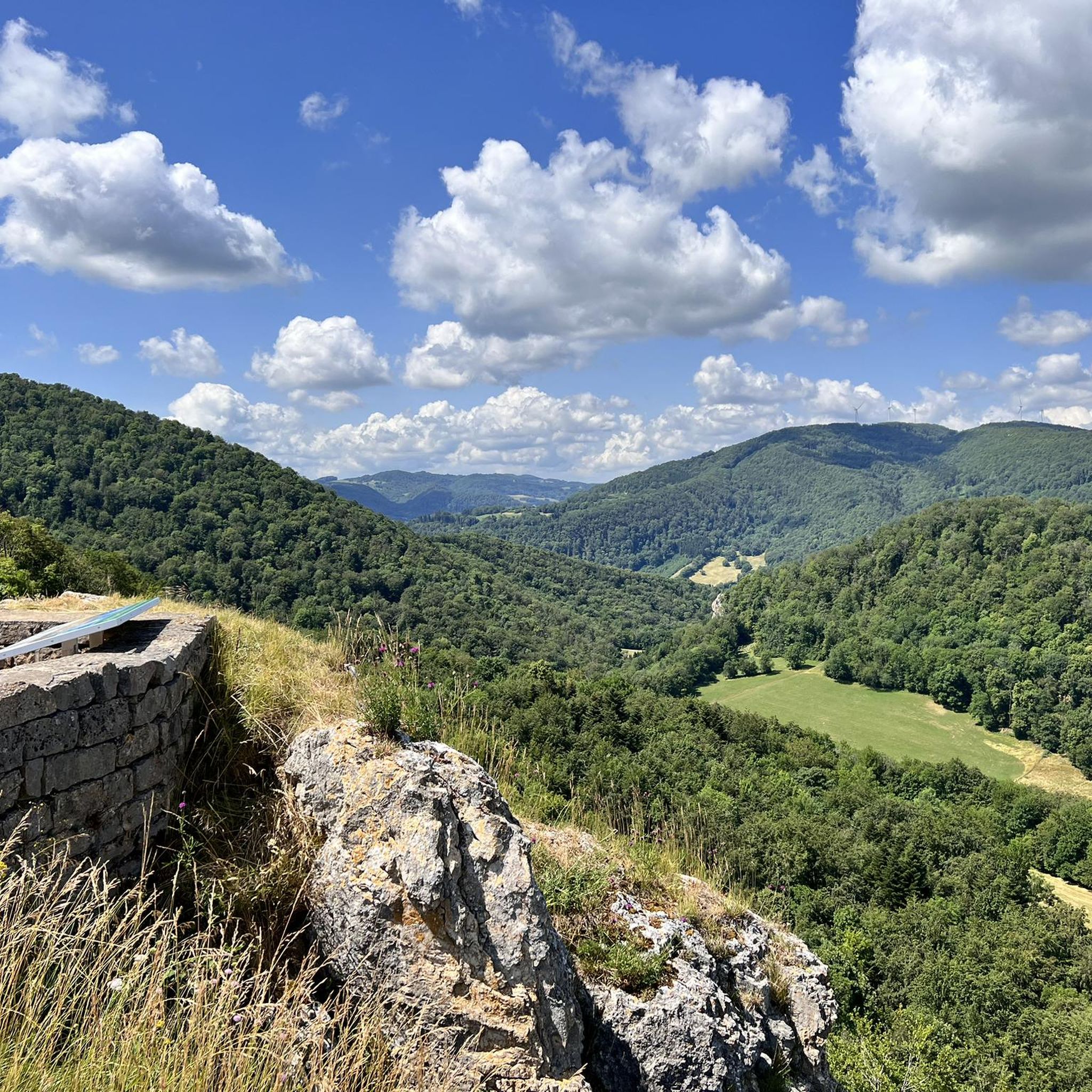
Jogging routes Les Terres-De-Chaux are set within a plateau region in France's Franche-Comté, offering diverse terrain for running. The area features elevated positions with scenic vistas over the Doubs and Barbèche river valleys, providing varied gradients suitable for different jogging intensities. Runners can explore a network of trails that traverse local countryside, including forests and meadows, offering a natural backdrop for physical activity. The landscape combines natural beauty with historical elements, making for engaging running experiences.
Best jogging routes around…
Last updated: July 6, 2026
5.0
(1)
27
runners
15.0km
02:01
480m
480m
Hard run. Very good fitness required. Sure-footedness, sturdy shoes and alpine experience required.
4.0
(1)
24
runners
11.9km
01:35
440m
440m
Hard run. Very good fitness required. Mostly paved surfaces. Suitable for all skill levels.

Sign up for free
5.0
(1)
20
runners
Moderate run. Good fitness required. Mostly paved surfaces. Suitable for all skill levels.
4.0
(2)
10
runners
9.12km
01:14
300m
300m
Hard run. Good fitness required. Sure-footedness, sturdy shoes and alpine experience required.
4.0
(2)
7
runners
5.77km
00:49
190m
190m
Hard run. Good fitness required. Sure-footedness, sturdy shoes and alpine experience required.
Get access to more routes and recommendations from other explorers.
Sign up for free
Already have an account?
Our route recommendations are based on thousands of hikes, rides, and runs completed by other people on komoot.
Start today with a free account
Your next adventure awaits.
Login or Signup
Tips from the Community


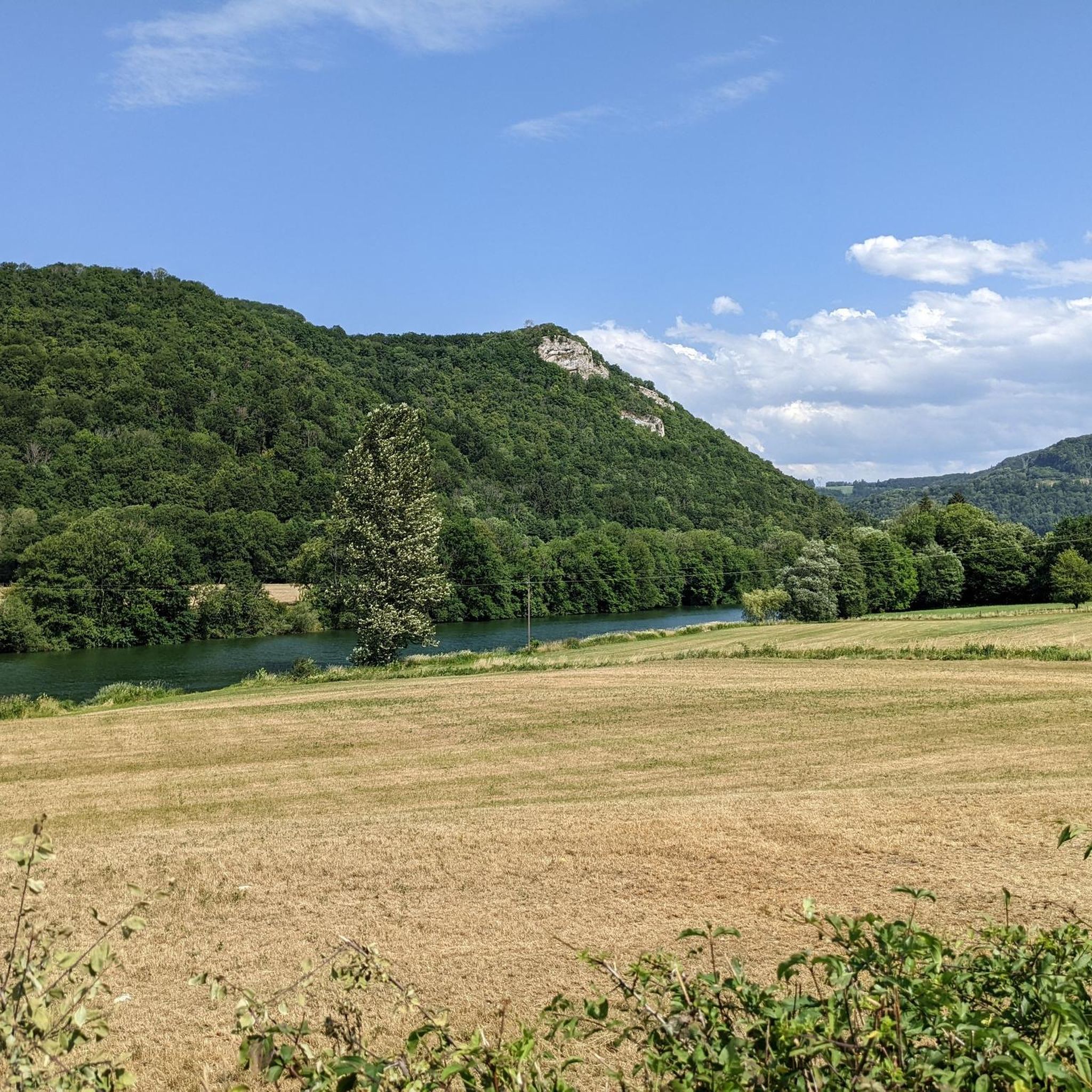
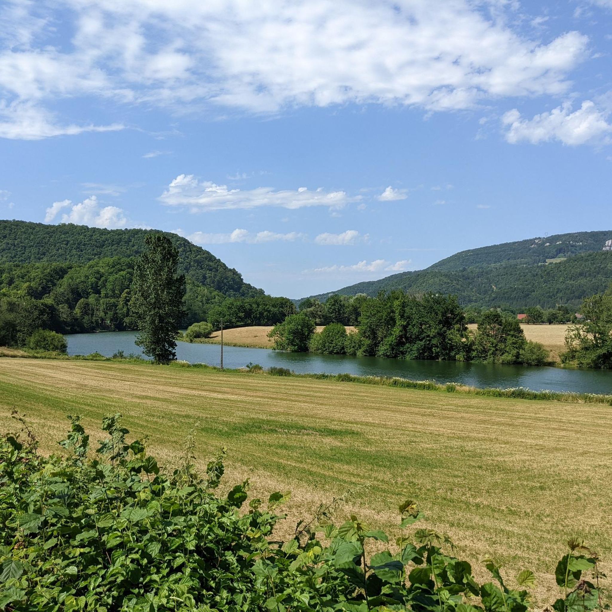
Nestled in the Doubs Valley, Saint-Hippolyte is a charming village in Franche-Comté. With its ancient streets and Romanesque church, it offers a peaceful break by the water, surrounded by the lush green landscapes of the Jura.
1
1

Saint-Hippolyte is a French commune with 962 inhabitants in the Haut-Rhin department in the European territorial community of Alsace and the Grand Est region. The municipality is a member of the Communauté de communes du Pays de Ribeauvillé.
3
1

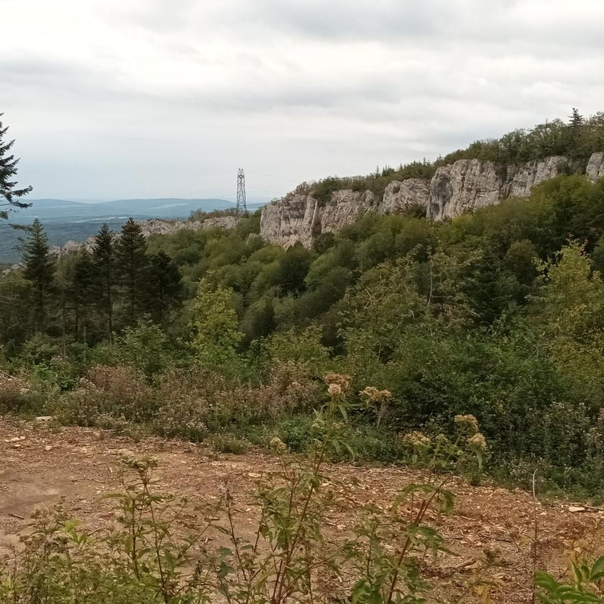
Here the Doubs slowly begins to meander into the Jura. 🥰 You can clearly see from the rock formations that you are now at the foothills of the Jura.
0
0
Very authentic place. It's really busy during the day. But early in the morning you can still enjoy the quiet atmosphere.
0
0

Pretty village which deserves more than the time I devoted to it.
2
1

fun, flat, easy to roll and walk
0
0
Frequently Asked Questions
How many running routes are available in Les Terres-De-Chaux?
There are over 50 dedicated running routes in Les Terres-De-Chaux, offering a wide range of options for different fitness levels and preferences.
What kind of terrain can I expect on the jogging trails in Les Terres-De-Chaux?
The region is characterized by its elevated plateau position, providing varied gradients and scenic vistas over the Doubs and Barbèche river valleys. You'll find a mix of paths traversing local countryside, including meadows, wooded areas, and forests, offering diverse and engaging running experiences.
Are there any easy running routes suitable for beginners in Les Terres-De-Chaux?
Yes, Les Terres-De-Chaux offers 2 easy running routes perfect for beginners or those looking for a more relaxed pace. These routes typically feature less elevation gain and shorter distances, allowing for a comfortable introduction to jogging in the area.
Can I find circular running routes in Les Terres-De-Chaux?
Many of the running routes in Les Terres-De-Chaux are designed as loops, allowing you to start and finish at the same point. For example, the Running loop from Liebvillers is a popular circular option, offering significant elevation changes and scenic views.
What natural features or landmarks can I see while running in Les Terres-De-Chaux?
Jogging in Les Terres-De-Chaux allows you to discover various natural and historical points of interest. You might encounter impressive caves like the Grotte de Montermenez or the Grotte de la Cernière, or enjoy stunning views from belvederes such as the Belvédère du Rocher du Bourbet. The area also features picturesque river valleys and charming villages with traditional architecture.
Are there any waterfalls along the running trails?
Yes, you can find natural attractions like the Waroly Waterfall, which can be a refreshing sight during your run. These natural monuments add to the scenic beauty of the trails.
What do other runners enjoy most about the trails in Les Terres-De-Chaux?
The running routes in Les Terres-De-Chaux are highly rated by the komoot community, with an average score of 4.4 stars from over 24 reviews. Runners often praise the diverse terrain, the scenic views over river valleys, and the natural backdrop of forests and meadows that make for engaging and rewarding experiences.
Are the running routes in Les Terres-De-Chaux suitable for families?
While specific family-friendly routes are not explicitly detailed, the presence of easy and moderate trails suggests options for families. Look for routes with less elevation and shorter distances, often found traversing meadows or along riverbanks, which can be more enjoyable for all ages.
Is it possible to access the running trails by public transport?
Information on specific public transport links directly to trailheads is limited. However, the region comprises several villages, and local transport options might connect to some starting points. It's advisable to check local bus schedules for connections to the main villages like Saint-Hippolyte or Pont-de-Roide.
Where can I find parking for the running routes?
Many routes start from or pass through villages such as Liebvillers, Saint-Hippolyte, or Pont-de-Roide. These villages typically offer public parking facilities, making it convenient to access the trailheads. Always look for designated parking areas when planning your run.
What is the best time of year to go running in Les Terres-De-Chaux?
The varied landscape of Les Terres-De-Chaux makes it suitable for running across multiple seasons. Spring and autumn offer pleasant temperatures and vibrant scenery, while summer provides longer daylight hours. Winter running can be beautiful, especially in forested areas, but be prepared for colder conditions and potentially slippery paths.
Are there any historical sites to explore near the running paths?
Absolutely! The region is rich in history. You can encounter historical landmarks like the 12th-century Saint Léger Church in Chaux-lès-Châtillon with its unique frescoes, or the remains of the ancient fortress at Châtillon-sous-Maîche. The Saint-Hippolyte village itself is beautifully positioned and offers historical charm.
Most popular attractions around Les Terres-De-Chaux

Get inspired with the komoot mobile app


Explore more
Browse the best Running Trails & Routes in other regions.
