The best walks and hikes around Les Terres-De-Chaux
4.3
(330)
1,538
hikers
85
hikes
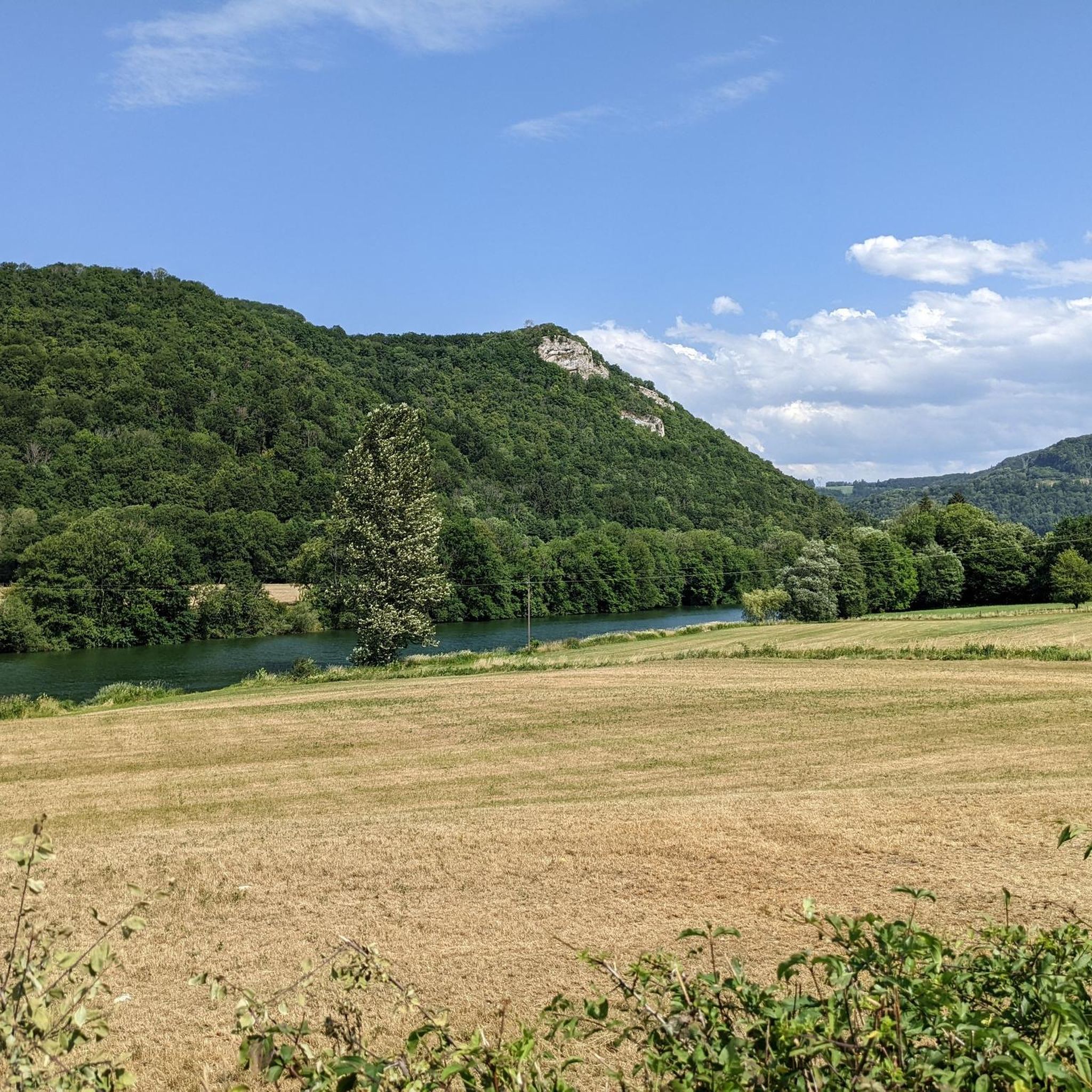
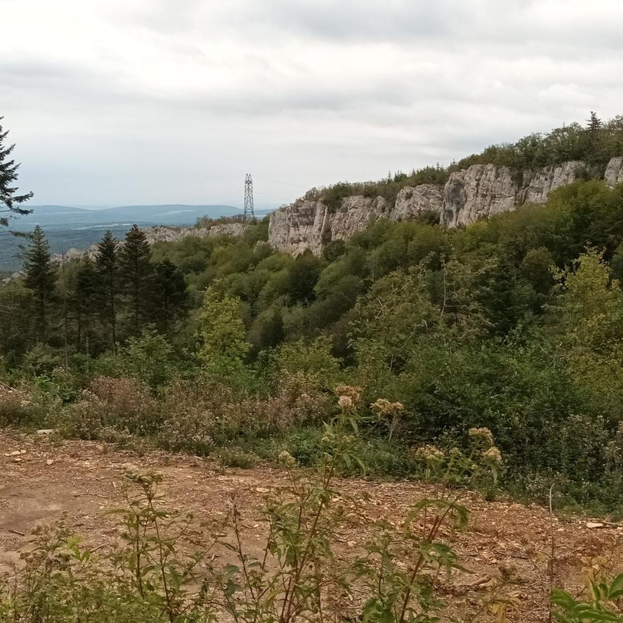
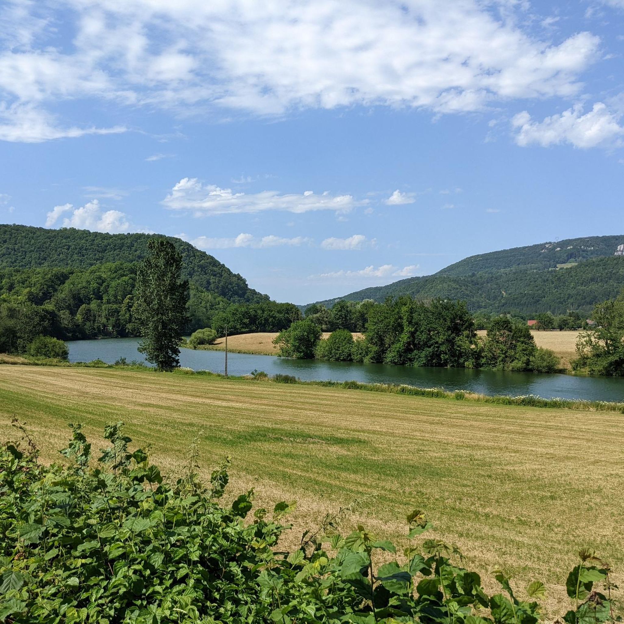
Hiking around Les Terres-De-Chaux offers diverse landscapes within the Doubs department of eastern France. The region is characterized by its elevated position, providing extensive views of the Franco-Swiss Jura mountains and the Doubs valley. Trails traverse varied topography, including plateaus, ridgelines, and dense woodlands like the Forêt de Chaux. This area provides a network of paths suitable for exploring its natural features and panoramic vistas.
Best hiking trails around Les Terres-De-Chaux
- The most popular hiking route is Doubs Viewpoint –…
Last updated: May 25, 2026
4.8
(33)
161
hikers
15.0km
04:42
480m
480m
Moderate hike. Good fitness required. Mostly accessible paths. Sure-footedness required.
4.7
(15)
53
hikers
14.5km
04:29
410m
410m
Moderate hike. Good fitness required. Mostly accessible paths. Sure-footedness required.

Sign up for free
4.1
(14)
45
hikers
5.38km
01:34
140m
140m
Easy hike. Great for any fitness level. Easily-accessible paths. Suitable for all skill levels.
4.2
(9)
49
hikers
26.2km
07:52
790m
790m
Hard hike. Very good fitness required. Mostly accessible paths. Sure-footedness required.
3.6
(5)
18
hikers
5.01km
01:27
120m
130m
Easy hike. Great for any fitness level. Easily-accessible paths. Suitable for all skill levels.
Get access to more routes and recommendations from other explorers.
Sign up for free
Already have an account?
Our route recommendations are based on thousands of hikes, rides, and runs completed by other people on komoot.
Start today with a free account
Your next adventure awaits.
Login or Signup

Tips from the Community


Beware of vertigo!
0
0

Really impressive, you should definitely spend some time there.
1
0


Nestled in the Doubs Valley, Saint-Hippolyte is a charming village in Franche-Comté. With its ancient streets and Romanesque church, it offers a peaceful break by the water, surrounded by the lush green landscapes of the Jura.
1
1

A beautiful iron bridge over the Doubs. I don't recommend driving on the D437, as some drivers practically use it as a "race track," and the shoulder is very narrow in places.
0
0

Saint-Hippolyte is a French commune with 962 inhabitants in the Haut-Rhin department in the European territorial community of Alsace and the Grand Est region. The municipality is a member of the Communauté de communes du Pays de Ribeauvillé.
3
1
Frequently Asked Questions
How many hiking trails are available in Les Terres-De-Chaux?
There are nearly 90 hiking routes around Les Terres-De-Chaux, offering a wide range of options for different skill levels and preferences. The komoot community has explored these trails over 1,400 times.
Are there any easy hikes suitable for beginners or families?
Yes, Les Terres-De-Chaux offers 19 easy hiking routes. A great option for families or those seeking a relaxed walk is the Waroly Waterfall – Waroly Waterfall loop from Orgeans-Blanchefontaine, which is an easy 3.3-mile (5.4 km) trail leading to the Waroly Waterfall.
Can I find trails with waterfalls in the area?
Absolutely! The region features natural attractions like waterfalls. You can explore the Waroly Waterfall – Waroly Waterfall loop from Orgeans-Blanchefontaine, which specifically leads to the beautiful Waroly Waterfall.
What kind of views can I expect on hikes around Les Terres-De-Chaux?
The elevated position of Les Terres-De-Chaux provides extensive panoramic views. Many trails offer vistas of the Franco-Swiss Jura mountains, the picturesque Doubs valley, and the Barbèche plateau. Hikes like the Doubs Viewpoint – Natural Arch loop from Liebvillers are known for their scenic outlooks.
Are there any circular hiking routes available?
Yes, many of the trails in Les Terres-De-Chaux are designed as circular routes, allowing you to start and end in the same location. Examples include the Doubs Viewpoint – Natural Arch loop from Liebvillers and the Bisontin Cave – Natural Arch loop from Saint-Hippolyte.
What are some interesting natural features or landmarks to see while hiking?
The region is rich in natural and historical points of interest. You can discover geological curiosities like the Bisontin Cave, explore charming places like Saint-Hippolyte village, or visit the Notre-Dame-du-Mont Chapel. Many trails also offer stunning viewpoints, such as the Belvédère du Rocher du Bourbet.
What do other hikers say about the trails in Les Terres-De-Chaux?
The trails in Les Terres-De-Chaux are highly regarded by the komoot community, with an average rating of 4.4 stars from over 300 reviews. Hikers often praise the diverse landscapes, the panoramic views of the Doubs valley and Jura mountains, and the well-maintained paths through forests and plateaus.
Are there any challenging or difficult hikes for experienced trekkers?
For experienced hikers seeking a challenge, there are 6 difficult routes in the area. One such demanding trail is the Saint-Hippolyte – Notre-Dame-du-Mont Chapel loop from Montécheroux, which covers 17.7 miles (28.5 km) with significant elevation gain.
What is the best time of year to go hiking in Les Terres-De-Chaux?
The region is enjoyable for hiking across multiple seasons. Spring and autumn offer pleasant temperatures and vibrant foliage, while summer provides lush green landscapes, often with shaded forest paths. Some trails may also be suitable for winter hiking, offering a different perspective of the snowy landscapes.
Are dogs allowed on the hiking trails?
While specific regulations can vary by trail or protected area, generally, dogs are welcome on many hiking trails in the region, especially if kept on a leash. It's always a good idea to check local signage or specific route details for any restrictions before heading out with your canine companion.
Are there any trails that explore the Forêt de Chaux?
Yes, the Forêt de Chaux, one of France's largest forests, is a significant feature of the region. Many trails traverse its diverse woodlands, offering serene walks and a chance to experience its rich flora and fauna. These forest paths often provide comfortable shade, particularly during warmer months.
What are the typical durations for hikes in this area?
Hike durations vary significantly depending on the route's length and difficulty. Easy trails like the Waroly Waterfall loop can be completed in under 2 hours, while moderate routes such as the Doubs Viewpoint – Natural Arch loop typically take around 4.5 to 5 hours. More difficult and longer trails can extend to 8 hours or more.
Most popular routes around Les Terres-De-Chaux
Most popular attractions around Les Terres-De-Chaux

Get inspired with the komoot mobile app


Explore more
Browse the best Hikes in other regions.
