
The best running trails around La Chapelle-Erbrée
4.4
(189)
3,444
runners
191
runs
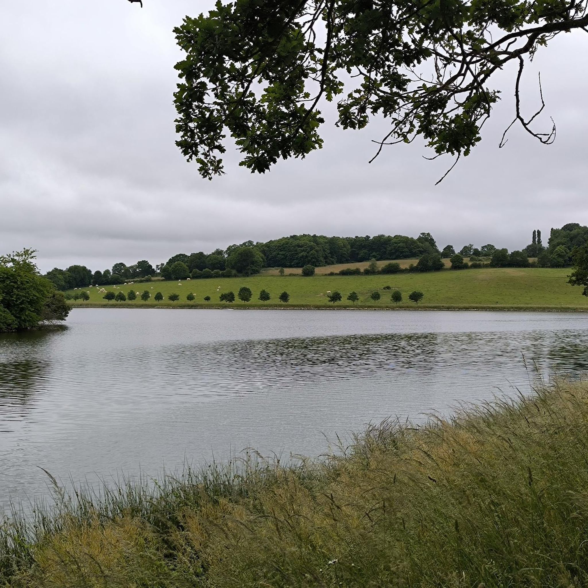
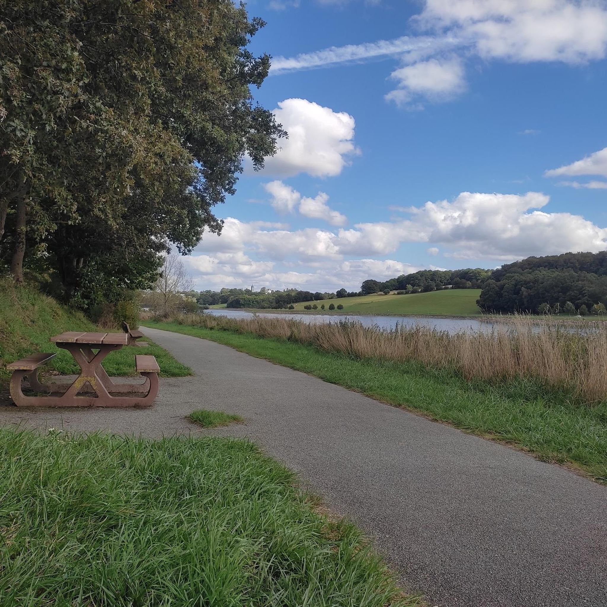
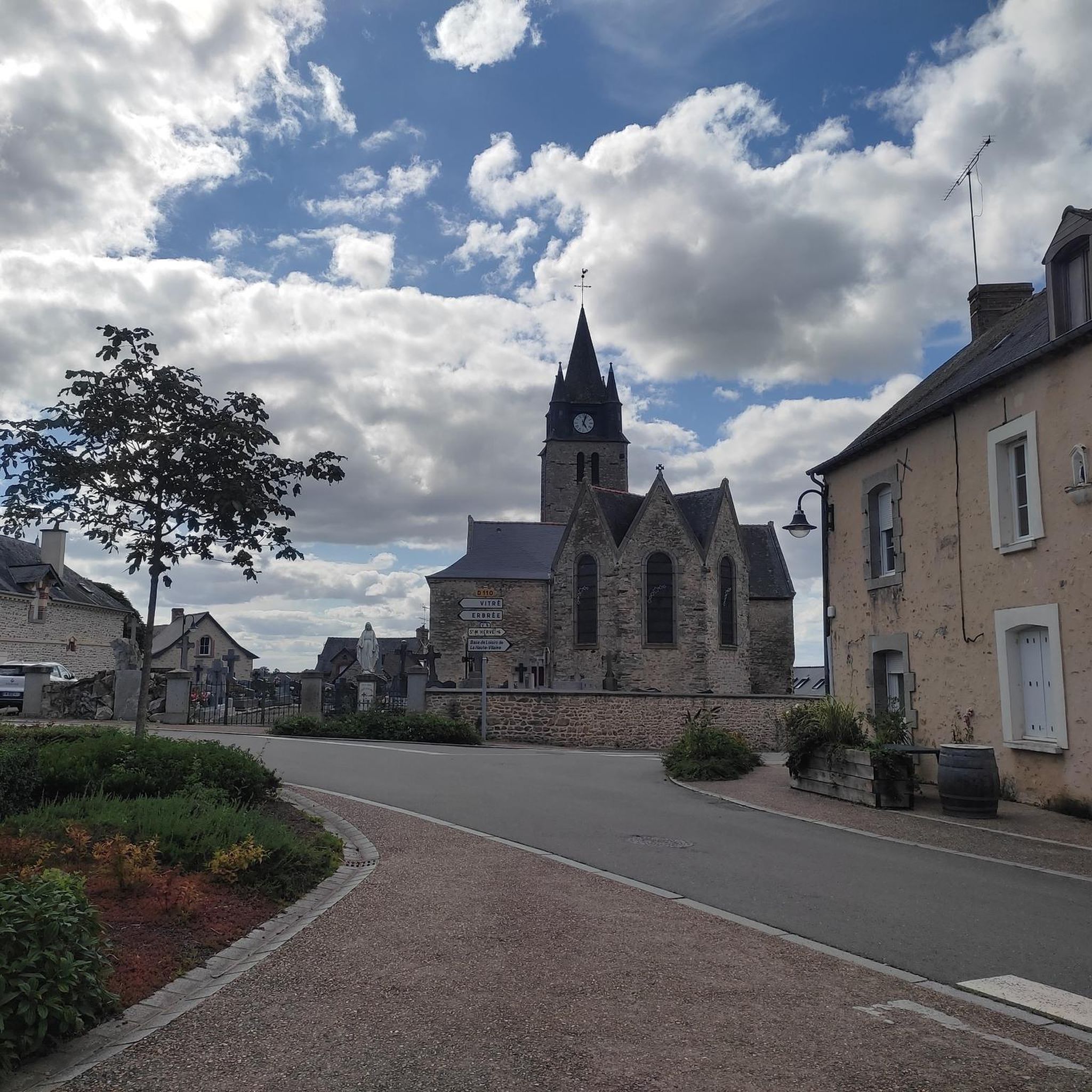
Jogging around La Chapelle-Erbrée, located in the Ille-et-Vilaine department of Brittany, offers diverse terrain for runners. The region features a "bocage" landscape characterized by woodlands, pastures, and varied hilly sections. Altitudes range from 77 meters in the Vilaine valley to 167 meters at its highest points, providing dynamic running experiences. The expansive Plan d'eau de Haute Vilaine, a 155-hectare lake, is a central feature, offering picturesque backdrops for many running routes.
Best jogging routes around La Chapelle-Erbrée
- The most popular…
Last updated: July 5, 2026
5.0
(1)
36
runners
14.4km
01:33
150m
150m
Moderate run. Good fitness required. Mostly paved surfaces. Suitable for all skill levels.
14
runners
4.64km
00:30
80m
80m
Easy run. Great for any fitness level. Mostly paved surfaces. Suitable for all skill levels.

Sign up for free
6
runners
8.01km
00:50
60m
60m
Moderate run. Good fitness required. Mostly paved surfaces. Suitable for all skill levels.
3
runners
14.2km
01:31
160m
160m
Moderate run. Good fitness required. Mostly paved surfaces. Suitable for all skill levels.
3.0
(1)
3
runners
8.49km
00:56
80m
80m
Moderate run. Good fitness required. Mostly paved surfaces. Suitable for all skill levels.
Get access to more routes and recommendations from other explorers.
Sign up for free
Already have an account?
Our route recommendations are based on thousands of hikes, rides, and runs completed by other people on komoot.
Start today with a free account
Your next adventure awaits.
Login or Signup

Frequently Asked Questions
How many running routes are available around La Chapelle-Erbrée?
La Chapelle-Erbrée offers a wide selection of running routes, with over 170 trails documented on komoot. These routes cater to various preferences, from easy jogs to more challenging long-distance runs.
What kind of terrain can I expect on the running trails in La Chapelle-Erbrée?
The region features a diverse and often hilly terrain, characterized by a 'bocage' landscape of woodlands and pastures. You'll find paths winding through forests, along the scenic Plan d'eau de Haute Vilaine, and across open countryside, providing a dynamic experience for runners.
Are there any easy running routes suitable for beginners or a relaxed jog?
Yes, there are 18 easy routes perfect for beginners or those looking for a relaxed run. A great option is the Running loop from La Chapelle-Erbrée, an easy 4.6 km path that can be completed in about 30 minutes.
Can I find long-distance running trails in the area?
Absolutely. For those seeking a longer challenge, routes like the Le Bois des Regrétis loop from La Chapelle-Erbrée offer a substantial 31.5 km journey through woodlands and open countryside, typically taking over three hours to complete.
Are there any circular running routes around La Chapelle-Erbrée?
Many of the running paths in the area are circular, allowing you to start and finish at the same point. A notable example is the Lavoir loop from La Chapelle-Erbrée, a moderate 12.8 km trail that showcases the varied local landscape.
What are the main attractions or points of interest I might see while running?
The expansive Plan d'eau de Haute Vilaine is a central feature, offering picturesque views. You might also catch glimpses of the 15th-century Château des Nétumières. For historical and cultural sights, the nearby town of Vitré boasts the impressive Vitré Castle and charming Medieval architecture.
Is there a significant lake loop for running in the region?
Yes, the Plan d'eau de Haute Vilaine is encircled by a substantial 26-kilometer loop trail. This route provides extensive paths through the surrounding countryside and forests, offering continuous scenic views of the lake.
What do other runners enjoy most about jogging in La Chapelle-Erbrée?
The running routes in La Chapelle-Erbrée are highly rated by the komoot community, with an average score of 4.5 stars from over 170 reviews. Runners frequently praise the varied terrain, the tranquility of the woodlands, and the beautiful scenery around the Plan d'eau de Haute Vilaine.
Are there options for parking near the running trails?
While specific parking details vary by route, many trails in La Chapelle-Erbrée, especially those around the Plan d'eau de Haute Vilaine and starting from the village, offer convenient parking access. It's advisable to check individual route descriptions for precise parking information.
What is the best time of year to go running in La Chapelle-Erbrée?
Brittany generally offers pleasant running conditions throughout much of the year. Spring and autumn provide mild temperatures and vibrant scenery. Summer is also popular, especially around the lake, but it's always wise to check local weather forecasts.
Are there any facilities or amenities near the running routes?
The Base de Loisirs de Haute Vilaine, located at the lake, provides various outdoor facilities. While primarily for other activities, it indicates the area's commitment to outdoor recreation. For refreshments, you might find options like the Guinguette de Villanfray nearby.
Most popular routes around La Chapelle-Erbrée
Most popular attractions around La Chapelle-Erbrée

Get inspired with the komoot mobile app


Explore more
Browse the best Running Trails & Routes in other regions.
