The best walks and hikes around La Chapelle-Erbrée
4.7
(292)
1,893
hikers
72
hikes
Hiking around La Chapelle-Erbrée offers routes through a landscape characterized by the expansive Plan d'eau de Haute Vilaine, surrounding forests, and the traditional bocage vitréais. This region in Ille-et-Vilaine, Brittany, features a mix of water bodies, woodlands, and rural countryside. The terrain generally includes gentle elevation changes suitable for various hiking experiences.
Best hiking trails around La Chapelle-Erbrée
- The most popular hiking route is Plan d'eau de la Valière loop from Le Moulin de la Haie, a 5.4 miles…
Last updated: August 26, 2026
4.6
(36)
231
hikers
8.72km
02:15
50m
50m
Moderate hike. Good fitness required. Easily-accessible paths. Suitable for all skill levels.
4.5
(13)
114
hikers
7.17km
01:53
60m
60m
Easy hike. Great for any fitness level. Easily-accessible paths. Suitable for all skill levels.

Sign up for free
4.6
(14)
119
hikers
10.6km
02:49
100m
100m
Moderate hike. Good fitness required. Easily-accessible paths. Suitable for all skill levels.
5.0
(3)
27
hikers
Moderate hike. Good fitness required. Easily-accessible paths. Suitable for all skill levels.
5.0
(3)
17
hikers
20.8km
05:27
150m
150m
Hard hike. Very good fitness required. Easily-accessible paths. Suitable for all skill levels.
Get access to more routes and recommendations from other explorers.
Sign up for free
Already have an account?
Our route recommendations are based on thousands of hikes, rides, and runs completed by other people on komoot.
Start today with a free account
Your next adventure awaits.
Login or Signup


Tips from the Community

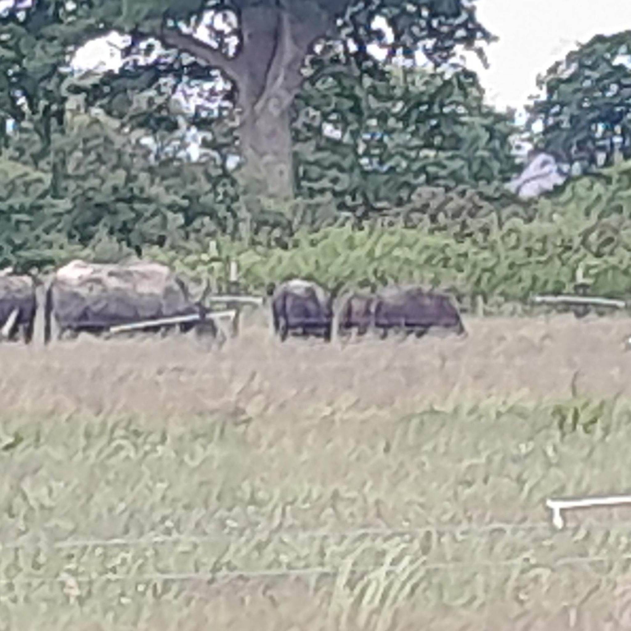
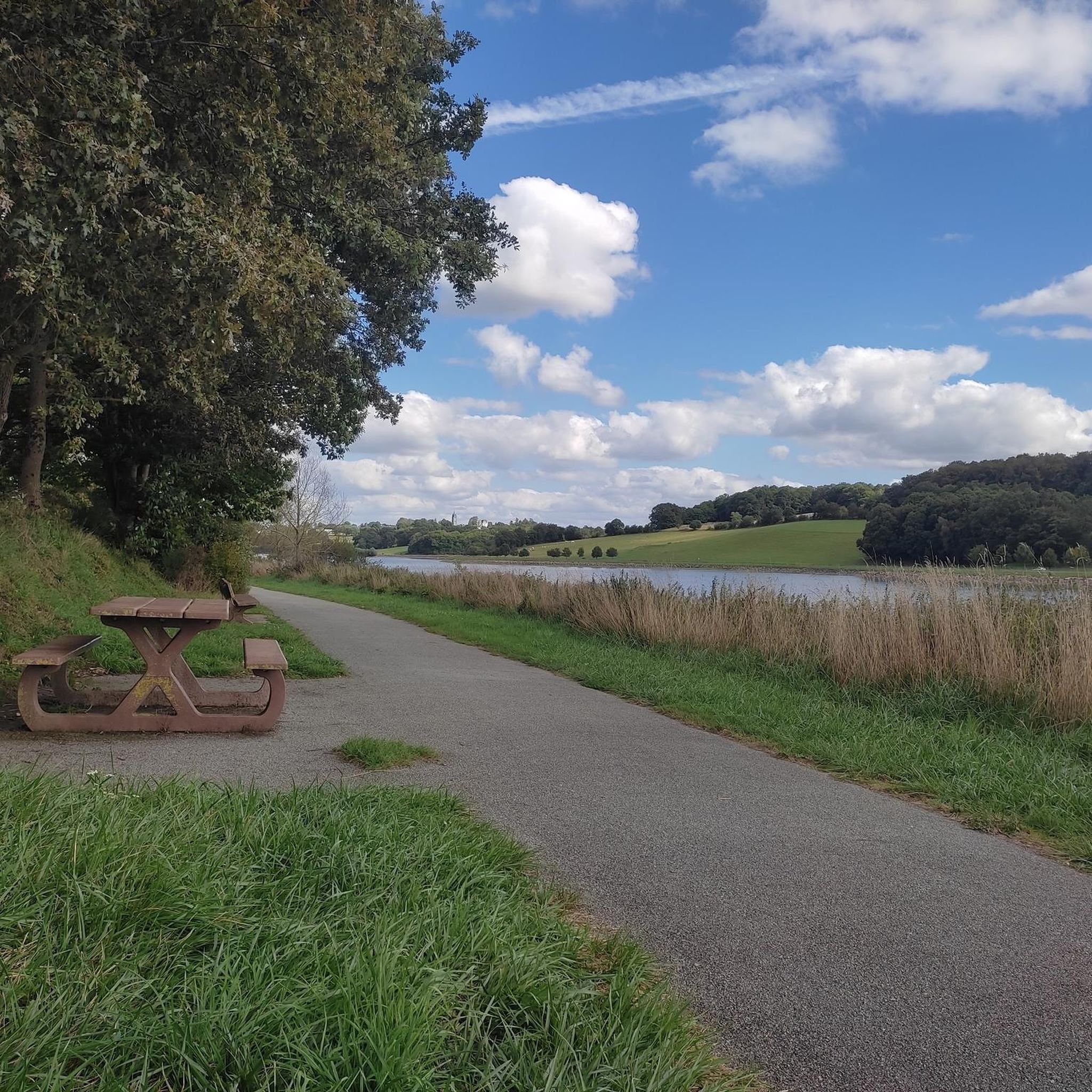
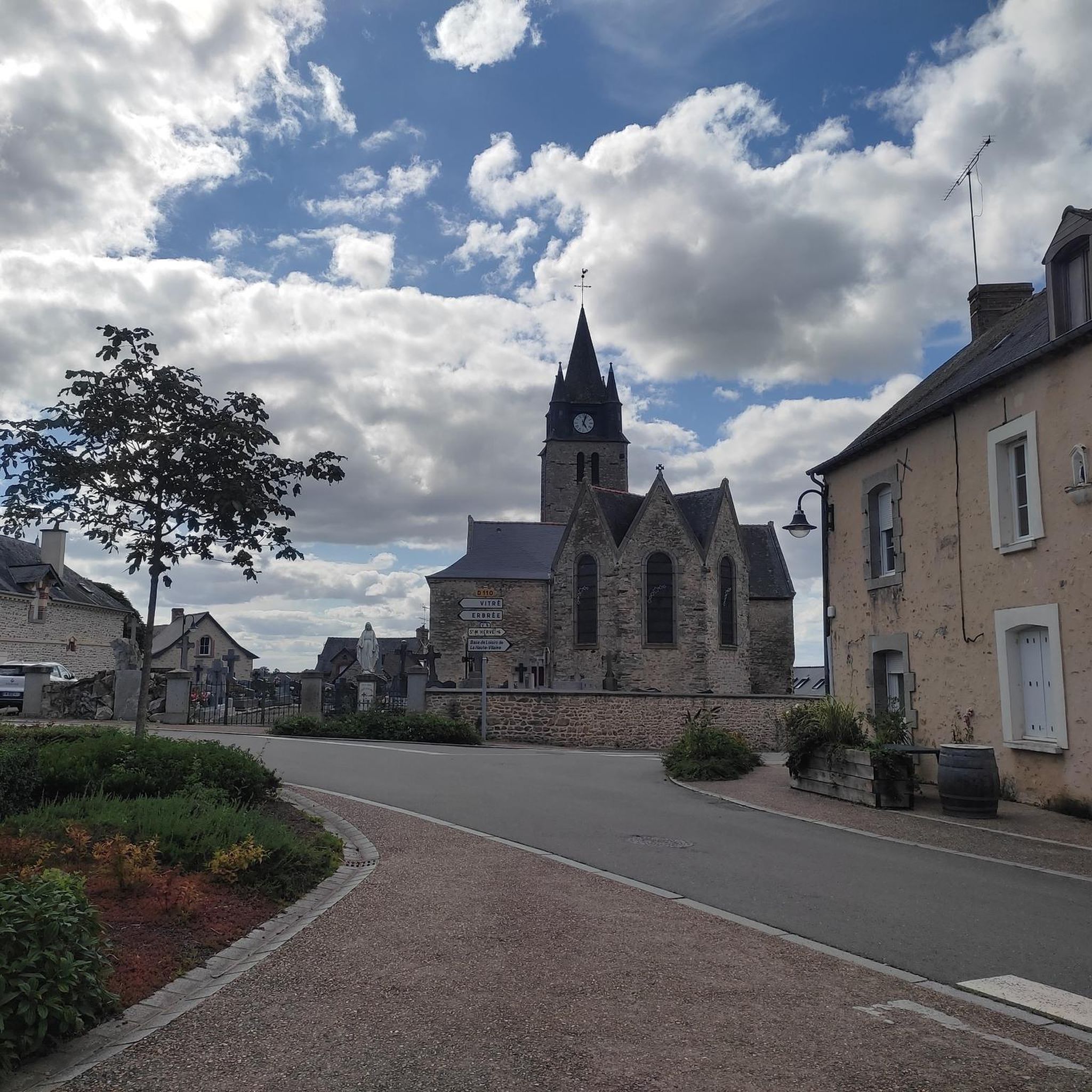
Superb walk on a path in the undergrowth or near the water. Departure from the La Chapelle Erbree cemetery car park
0
0
Frequently Asked Questions
How many hiking trails are available around La Chapelle-Erbrée?
There are over 60 hiking trails in the La Chapelle-Erbrée area, ranging from easy strolls to more challenging excursions. This includes routes around the Plan d'eau de Haute Vilaine, through forests, and across the traditional bocage vitréais.
What kind of terrain can I expect on hikes near La Chapelle-Erbrée?
The terrain around La Chapelle-Erbrée is characterized by a mix of landscapes. You'll find paths winding around the expansive Plan d'eau de Haute Vilaine, shaded routes through local forests, and trails crossing the 'bocage vitréais' – a traditional hedgerow countryside. Elevation changes are generally gentle, though some longer routes may have more significant ascents.
Are there any easy hiking trails suitable for beginners or families?
Yes, there are many easy options. For instance, the La Chapelle Erbree loop from La Grande Ville Cuite is an easy 7.2 km path that winds through the local countryside. Many trails around the Plan d'eau de Haute Vilaine also offer gentle, accessible walks.
Are there any circular walks available in La Chapelle-Erbrée?
Yes, many of the trails in the area are circular. A popular option is the La Chapelle Erbree loop from La Chapelle-Erbrée, a 10.6 km trail leading through varied landscapes. Another is the Plan d'eau de la Valière loop from Le Moulin de la Haie, which offers views of the lake.
What are the best seasons to go hiking in La Chapelle-Erbrée?
The area is enjoyable for hiking throughout much of the year. Spring and autumn offer pleasant temperatures and beautiful scenery, with vibrant foliage in fall. Summer is also popular, especially around the Plan d'eau de Haute Vilaine, where you can combine hiking with other leisure activities. Winter hikes are possible, though some paths might be muddy.
Are there any dog-friendly trails in La Chapelle-Erbrée?
Many trails in the La Chapelle-Erbrée area are suitable for dogs, especially those through forests and the open countryside. It's always recommended to keep your dog on a leash, particularly near livestock or in protected natural areas around the Plan d'eau de Haute Vilaine, and to clean up after them.
What landmarks or points of interest can I see while hiking?
While hiking, you can explore several points of interest. The expansive Plan d'eau de Haute Vilaine itself is a major feature. You might also encounter historical sites like the 15th-century Notre-Dame Church or the charming Medieval architecture in Vitré, which is nearby. The Cantache Pond is another beautiful natural highlight.
What do other hikers enjoy most about hiking in La Chapelle-Erbrée?
The area is highly rated by the komoot community, with an average score of 4.5 stars from over 250 reviews. Hikers often praise the serene beauty of the Plan d'eau de Haute Vilaine, the peaceful forest paths, and the charm of the traditional bocage countryside. The diverse range of trails catering to different fitness levels is also frequently highlighted.
Are there any longer or more challenging routes for experienced hikers?
Yes, for those seeking a greater challenge, there are longer routes. The Étang du Moulin aux Moines – Chapelle du Pinel loop from Erbrée is a difficult 21 km trail. A longer 26 km circuit around the Plan d'eau de Haute Vilaine is also mentioned in regional research, offering a more extensive exploration of the area.
Is there public transport access to the hiking trails?
While specific public transport routes directly to all trailheads in La Chapelle-Erbrée may be limited, the region is accessible. For detailed information on bus services or other public transport options to reach the general area, it's best to consult local transport authorities or the official tourism website for Ille-et-Vilaine: ille-et-vilaine-tourism.com.
Where can I find parking at the trailheads?
Parking is generally available at key access points around the Plan d'eau de Haute Vilaine and in the villages near trail starts. For specific routes, it's advisable to check the tour details on komoot, as many tours provide information on recommended starting points and parking facilities.
Are there places to eat or stay near the hiking trails?
Yes, you can find options for food and accommodation. The Base de Loisirs de Haute Vilaine offers amenities, and nearby towns like Vitré provide a wider range of services. You might find cafes like Guinguette de Villanfray or restaurants such as Inn at Vitré Castle in the vicinity.
Most popular routes around La Chapelle-Erbrée
Most popular attractions around La Chapelle-Erbrée

Get inspired with the komoot mobile app


Explore more
Browse the best Hikes in other regions.
