The best running trails around Craménil
4.3
(31)
1,790
runners
133
runs
Jogging around Craménil offers a variety of running routes through an undulating landscape. The region features moderate elevation changes, with some trails gaining over 300 meters, indicating a mix of hills and valleys. Running paths often traverse forested areas, providing varied terrain for different fitness levels. The area's geography supports both shorter, less strenuous runs and longer, more challenging endurance routes.
Best jogging routes around Craménil
- The most popular jogging route is The song of pebbles loop from Les Tourailles…
Last updated: October 12, 2026
28
runners
19.6km
02:21
380m
380m
Hard run. Very good fitness required. Mostly paved surfaces. Suitable for all skill levels.
4.0
(1)
32
runners
10.8km
01:14
40m
30m
Moderate run. Good fitness required. Mostly paved surfaces. Suitable for all skill levels.

19
runners
10.3km
01:12
130m
130m
Moderate run. Good fitness required. Mostly paved surfaces. Suitable for all skill levels.
6
runners
9.89km
01:11
160m
160m
Moderate run. Good fitness required. Mostly paved surfaces. Suitable for all skill levels.
5
runners
5.67km
00:37
60m
60m
Moderate run. Good fitness required. Mostly paved surfaces. Suitable for all skill levels.
Get access to more routes and recommendations from other explorers.
Already have an account?
Our route recommendations are based on thousands of hikes, rides, and runs completed by other people on komoot.
Start today with a free account
Your next adventure awaits.
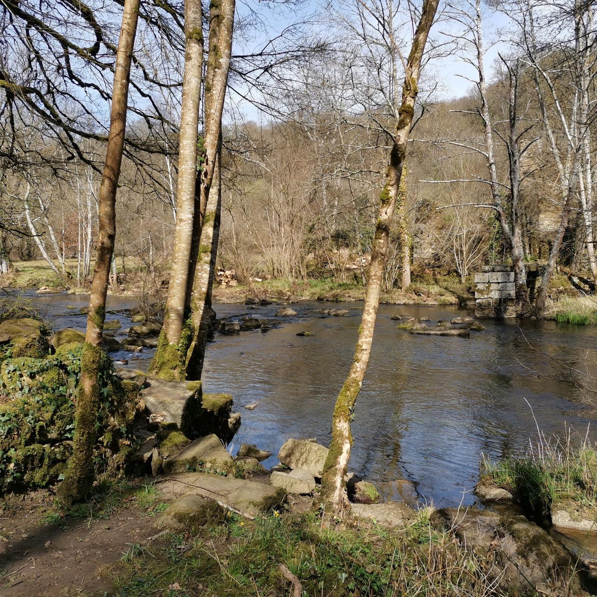
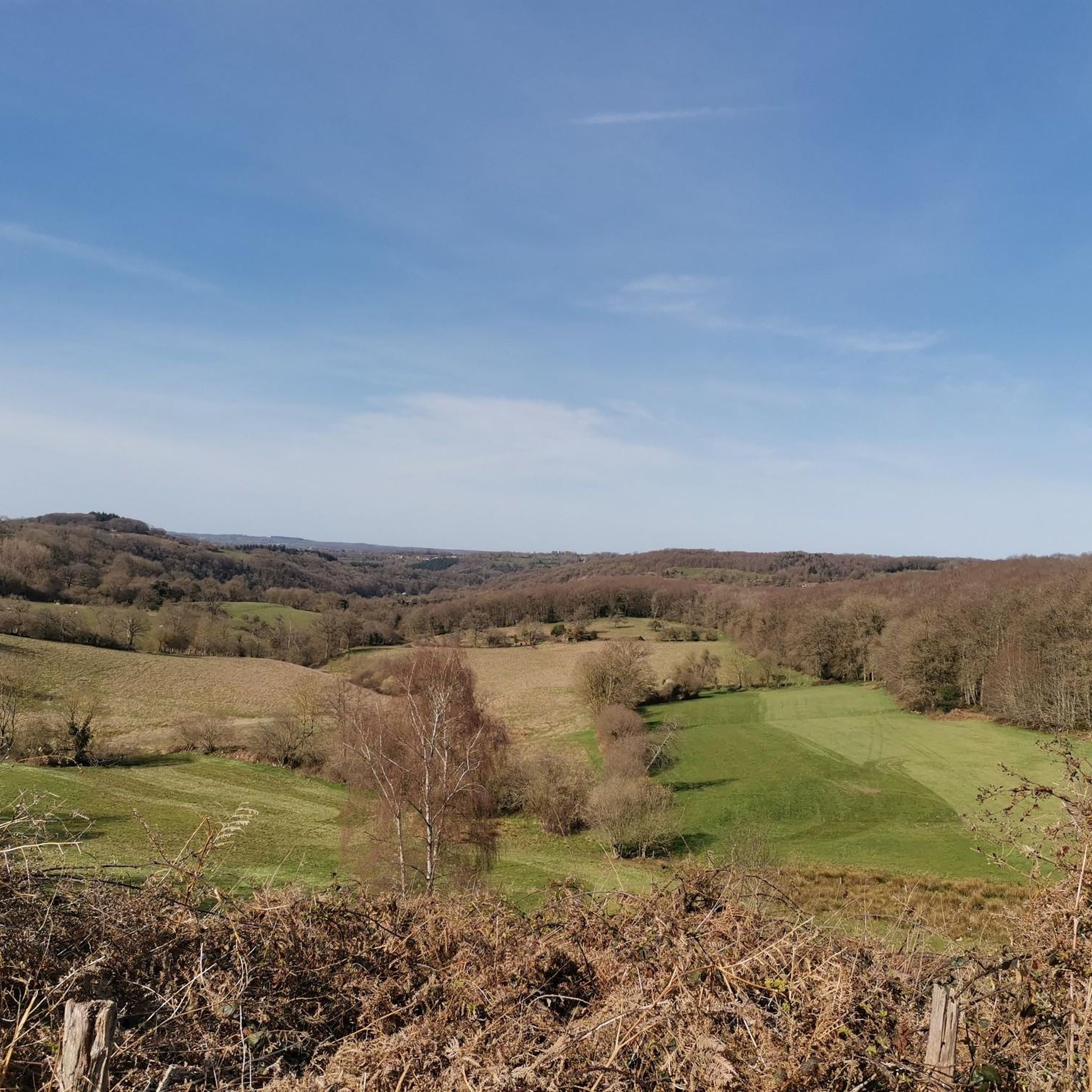
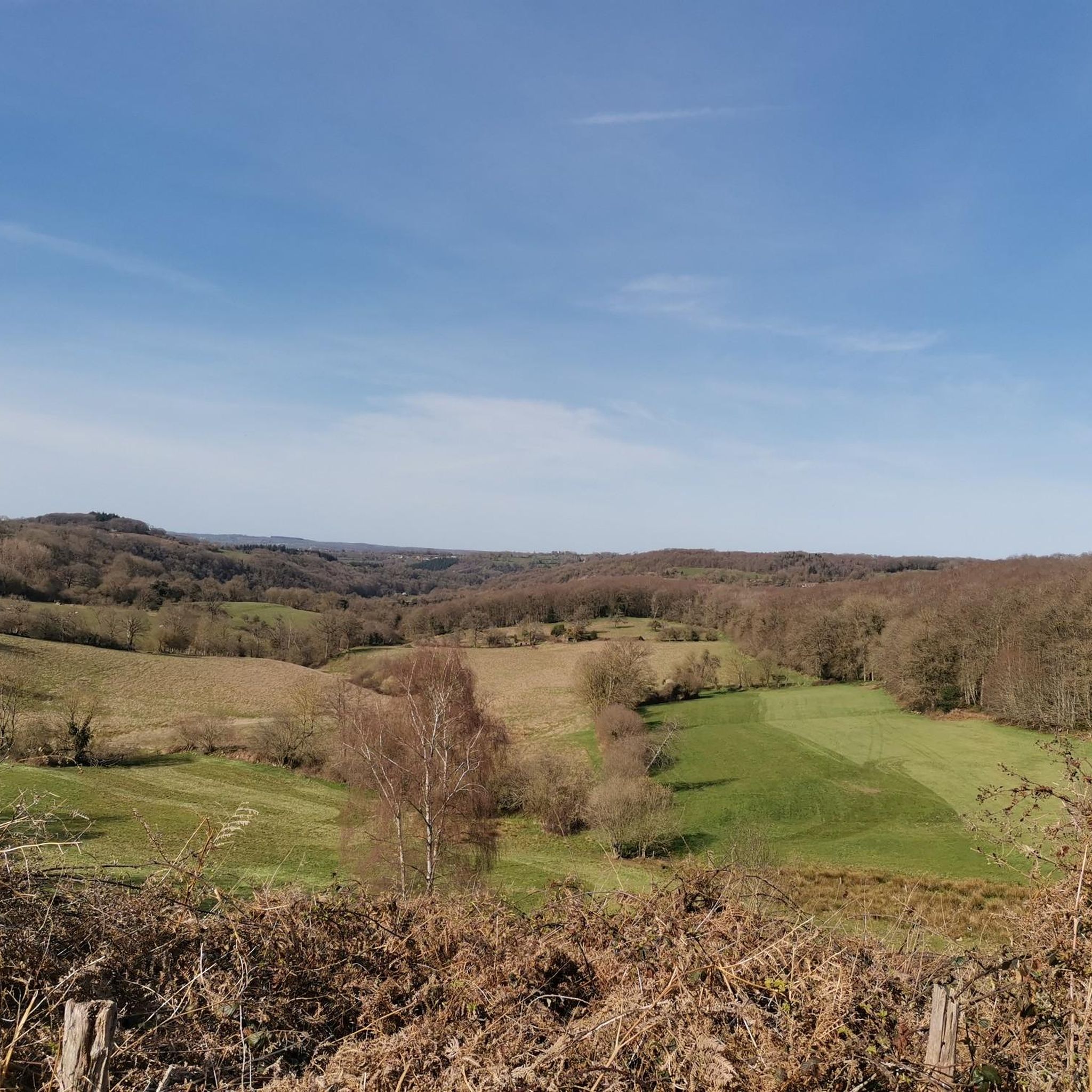
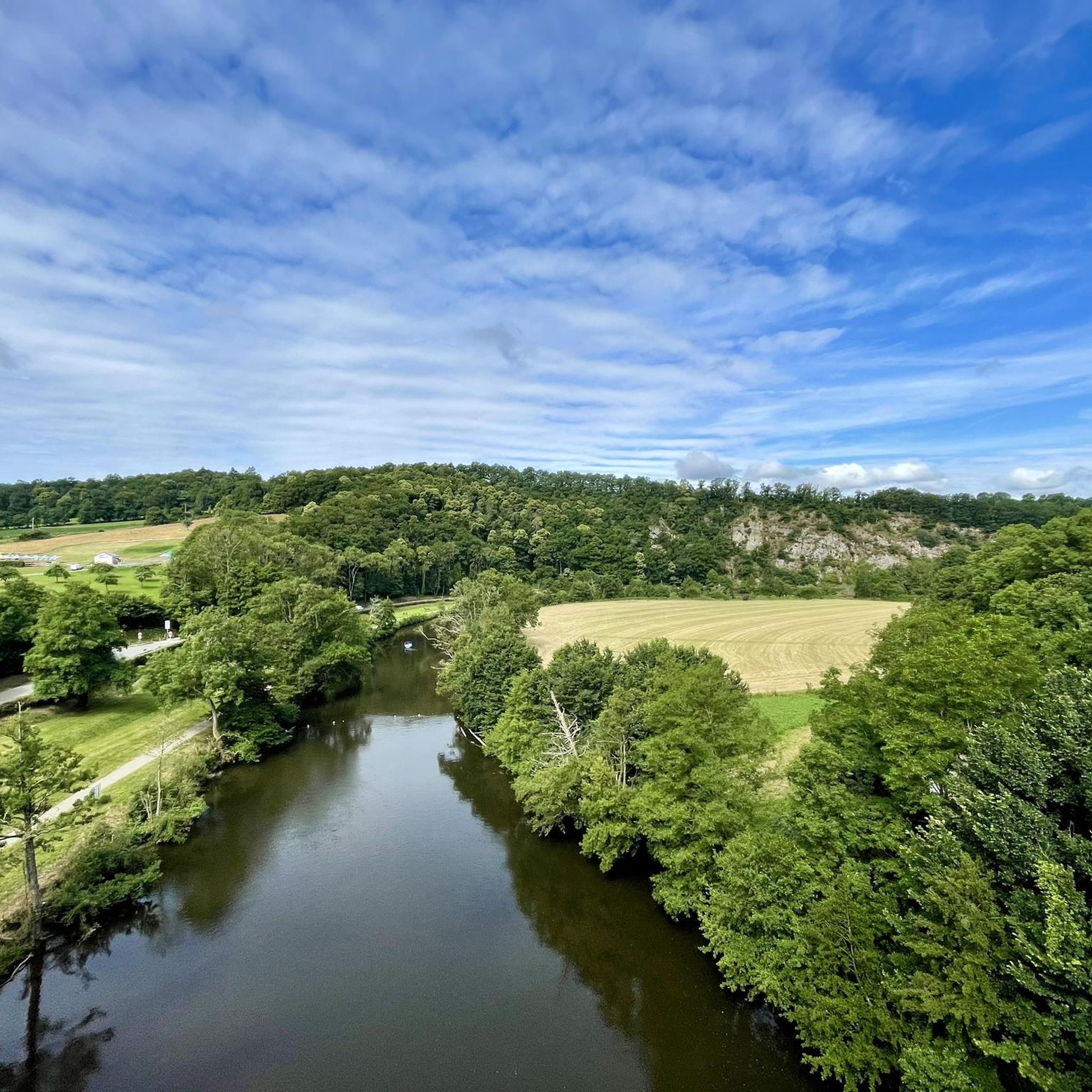
Tips from the Community

An artificial pool situated in a wild and beautiful landscape, surrounded by forests. Supervised swimming is possible.
0
0

Marsh Birdwatching
0
0

Super Hard because of many trees across the path but otherwise accessible to beginners
0
0
From here you have a beautiful view of the Marais du Grand-Hazé, the largest marshy area in the Orne. It is labeled Sensitive Natural Space and can be visited on foot via a 7 km signposted loop.
0
0

Large lake in the Orne department, located in Suisse Normande. Artificial lake, but very well preserved and landscaped, you can walk there, with even the presence of a restaurant boat during the holidays!
0
0

Superb place, calm, on the borders of the Suisse Normande.
0
0

The history of Lake Rabodanges begins in 1919, when a first study was carried out by the Norman Society of Studies for the development of the Orne basin and its tributaries. The bed of the Orne presents, over four kilometers, from the entrance to the exit of the Gorges de St-Aubert, an exceptional gradient that cannot be found anywhere else in Normandy: of the order of 40 meters . In addition, the narrowness of the valley, at the entrance of these gorges, joined to a splendid natural basin developing upstream, enabled engineers to plan the ambitious work of a dam and a reservoir of important water. The Rabodanges basin allows storage of 6 million m3 of water, over 95 hectares, retained by a dam 160 meters long and 17 meters high. Source: http://www.office-tourisme-putanges.com
1
0
The history of Lake Rabodanges begins in 1919, the date when a first study was established by the Société Normande d’études pour l’development of the Orne basin and its tributaries. The bed of the Orne presents, over four kilometers, from the entrance to the exit of the Gorges de St-Aubert, an exceptional slope that is not encountered anywhere else in Normandy: of the order of 40 meters . Furthermore, the narrowness of the valley at the entrance to these gorges, combined with a splendid natural basin developing upstream, allowed engineers to plan the ambitious work of a dam and a reservoir. significant water. The Rabodanges basin allows storage of 6 million m3 of water, over 95 hectares, retained by a dam 160 meters long and 17 meters high. Source: http://www.office-tourisme-putanges.com
1
0
Frequently Asked Questions
How many running routes are available around Craménil?
There are over 120 running routes documented around Craménil on komoot, offering a wide range of options for different fitness levels and preferences.
Are there any easy running trails for beginners in Craménil?
Yes, Craménil offers several easier running trails. While many routes feature moderate elevation changes, there are at least 6 routes specifically categorized as easy, perfect for those new to running or looking for a less strenuous jog.
Can I find circular jogging routes in the Craménil area?
Absolutely. Many of the running paths around Craménil are circular, allowing you to start and finish at the same point. For example, the Motte Castrale loop from Sainte-Honorine-la-Guillaume is a popular moderate circular route exploring the local landscape.
What are some scenic viewpoints or attractions I can see while jogging near Craménil?
While jogging around Craménil, you can encounter several interesting sights. Consider exploring routes that pass near natural landmarks like La Roche d'Oëtre, a stunning viewpoint, or the serene Path along the Rouvre. You might also spot historical sites such as Rabodanges Castle.
Are there any longer, more challenging running routes for experienced runners?
Yes, for those seeking a greater challenge, Craménil has several difficult routes. The Bois de la Mousse loop from Durcet is a notable example, covering 13.3 miles (21.4 km) with over 300 meters of elevation gain, making it a demanding endurance run.
What is the typical duration for running routes in Craménil?
Running routes in Craménil vary significantly in duration. Moderate trails like The song of pebbles loop from Les Tourailles typically take around 1 hour 12 minutes, while longer, more difficult routes can extend to over 2 hours 30 minutes.
Is Craménil a good place for dog-friendly running?
Many of the forest paths and rural trails around Craménil are suitable for running with dogs, provided they are well-behaved and kept under control, especially when passing through agricultural areas or near wildlife. Always check local regulations and be mindful of livestock.
What do other runners say about the trails in Craménil?
The running trails in Craménil are highly regarded by the komoot community, holding an average rating of 4.2 stars from over 20 reviews. Runners often praise the varied terrain, the peaceful forest sections, and the consistent elevation changes that make for an engaging workout.
Are there running routes accessible by public transport near Craménil?
Access to specific trailheads directly by public transport might be limited in this rural region. It's advisable to check local bus schedules for nearby villages like Durcet or Sainte-Honorine-la-Guillaume, and plan your route accordingly, potentially starting your run from the village center.
Where can I find parking for running trails around Craménil?
Parking is generally available in the villages where many routes begin, such as Les Tourailles, Sainte-Honorine-la-Guillaume, or Durcet. Look for designated parking areas or safe roadside spots, especially near churches or village squares.
Are there any family-friendly running options in Craménil?
For families looking to jog together, focus on the easier and shorter routes. While specific 'family-friendly' designations aren't always available, trails with less elevation gain and well-maintained surfaces would be most suitable. Consider starting with routes that are under 5 miles.
What is the best time of year to go running in Craménil?
Spring and autumn generally offer the most pleasant conditions for running in Craménil, with mild temperatures and beautiful scenery. Summer can be warm, so early morning or late evening runs are recommended. Winter running is possible, but trails might be muddy or icy, especially in forested areas.
Most popular attractions around Craménil

Get inspired with the komoot mobile app


Explore more
Browse the best Running Trails & Routes in other regions.
