The best walks and hikes around Craménil
4.6
(881)
4,624
hikers
89
hikes
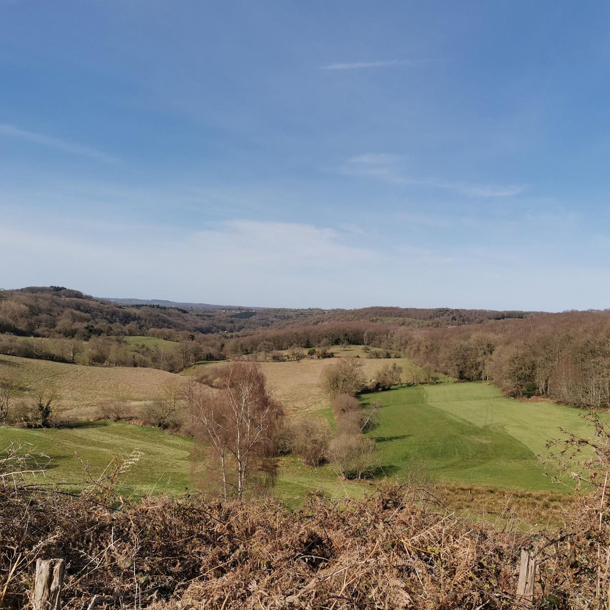
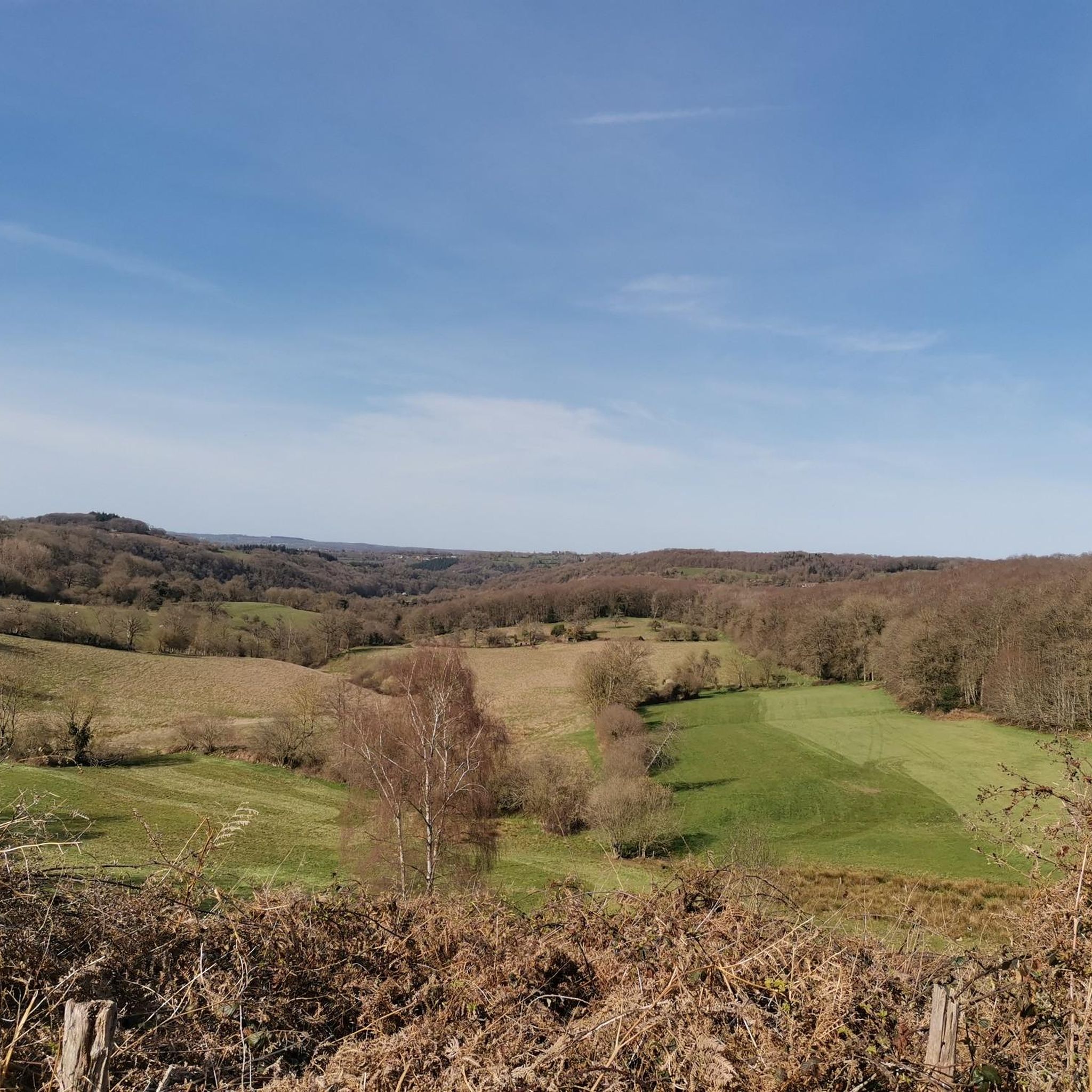
Hiking around Craménil offers a variety of trails through a landscape characterized by gentle elevations, marshlands, and river valleys. The region features a mix of natural spaces, including the Marais du Grand Hazé, and paths along waterways like the Rouvre. Elevation changes are generally moderate, making many routes accessible for different fitness levels.
Best hiking trails around Craménil
- The most popular hiking route is Sentier du marais du grand Hazé — loop in the NATURAL SPACE of l'Orne, a…
Last updated: October 8, 2026
4.8
(26)
135
hikers
Easy hike. Great for any fitness level. Easily-accessible paths. Suitable for all skill levels.
3.5
(22)
57
hikers
Moderate hike. Good fitness required. Easily-accessible paths. Suitable for all skill levels.

4.9
(25)
126
hikers
9.70km
02:28
30m
30m
Moderate hike. Good fitness required. Easily-accessible paths. Suitable for all skill levels.
4.7
(7)
18
hikers
4.88km
01:25
130m
130m
Easy hike. Great for any fitness level. Easily-accessible paths. Suitable for all skill levels.
5.0
(5)
29
hikers
9.20km
02:29
120m
120m
Moderate hike. Good fitness required. Easily-accessible paths. Suitable for all skill levels.
Get access to more routes and recommendations from other explorers.
Already have an account?
Our route recommendations are based on thousands of hikes, rides, and runs completed by other people on komoot.
Start today with a free account
Your next adventure awaits.


Tips from the Community

Path little or not at all practicable on many sectors: at the start, you have to cross a forest of nettles and brambles, the small bridge over the Orne is closed by municipal order and between markers 5 and 7, the track is lost (fallen trees, brambles etc.) we had to turn back and take the road.
0
0

An artificial pool situated in a wild and beautiful landscape, surrounded by forests. Supervised swimming is possible.
0
0

End of June 25: The section along the lake is almost completely overgrown. There's thickets of thorns and nettles, and numerous trees have fallen across it. Although I enjoy tackling jungle, it's no fun over such a long stretch.
0
0

Marsh Birdwatching
0
0
Even if you follow white-red it ends completely dead on fallen trees, really no way through. We also had to turn around after almost 2 kilometers. This was noted on May 3, 2025.
1
0
Good tip, I only see it now at the end of the route :) We walked past the dam but didn't feel comfortable. Survival…
0
0
Many fallen trees, etc. Route not really clear or accessible, lots of climbing. Many possible paths. Route Broken off and inverted. Shame
3
0
Frequently Asked Questions
How many hiking trails are available around Craménil?
The Craménil area offers a diverse network of over 60 hiking trails. These range from easy strolls through marshlands to more moderate excursions along river valleys, ensuring options for various fitness levels.
Are there easy hiking trails suitable for beginners or families with children?
Yes, Craménil is well-suited for easy hikes, with 28 trails classified as easy. A great option for families is the Sentier du marais du grand Hazé — loop in the NATURAL SPACE of l'Orne, which is 4.6 miles (7.4 km) long and explores a significant natural marshland area with minimal elevation gain.
Are there any challenging hiking routes for experienced hikers?
While most trails in Craménil are easy to moderate, there is one route classified as difficult for those seeking a greater challenge. The region's landscape generally features gentle elevations, but some paths can offer more strenuous sections.
What are the typical lengths of hikes around Craménil?
Hikes around Craménil vary in length. You can find shorter routes like the Sentier du marais du grand Hazé at 4.6 miles (7.4 km), or longer, more moderate options such as the Meander Trail – Path along the Rouvre loop from Bréel, which is 7.6 miles (12.3 km) long.
Are there circular walks available in the Craménil area?
Yes, many of the trails around Craménil are designed as circular routes, allowing you to start and finish at the same point. Examples include the Hiking loop from Briouze and the Hiking loop from Le Ménil-de-Briouze, offering convenient exploration of the rural surroundings.
What kind of natural landscapes will I encounter on the trails?
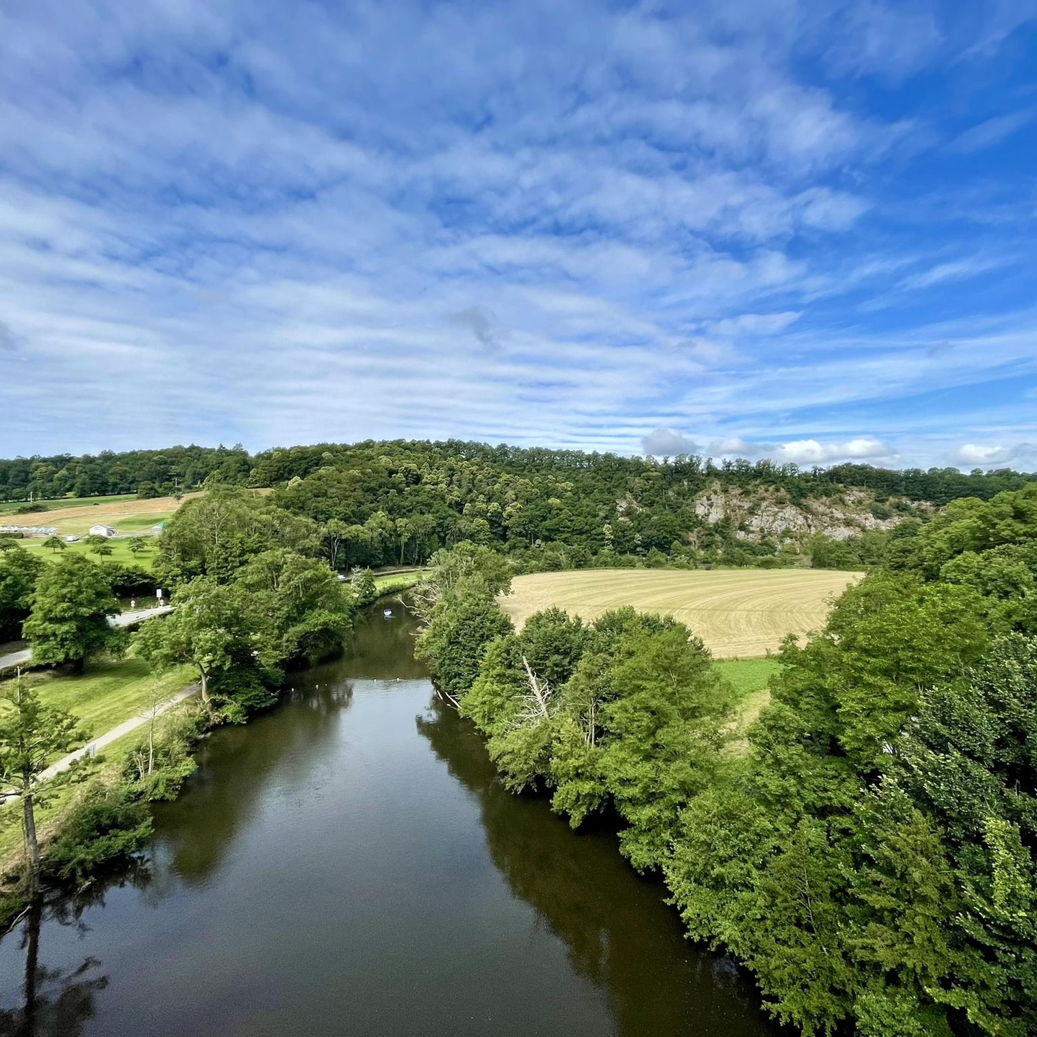
The hiking trails around Craménil traverse a varied landscape characterized by gentle elevations, extensive marshlands like the Marais du Grand Hazé, and picturesque river valleys, particularly along waterways such as the Rouvre. You'll also find shaded forest paths and open rural scenery.
Are there any notable viewpoints or attractions along the hiking routes?
Yes, the region offers several points of interest. Hikers can explore the stunning La Roche d'Oëtre, a dramatic viewpoint. Other attractions include the historic Old Saint-Aubert Church and the charming village of La Carneille. The Path along the Rouvre also offers beautiful riverside scenery.
What do other hikers say about the trails in Craménil?
The hiking routes in Craménil are highly regarded by the komoot community, holding an average score of 4.6 stars from over 500 reviews. Hikers frequently praise the varied terrain, the tranquility of the marshlands, and the scenic beauty of the river valleys.
Is parking available near the trailheads in Craménil?
While specific parking details vary by trailhead, most popular hiking areas and villages in the Craménil region, such as Bréel or Briouze, offer designated parking facilities for visitors. It's advisable to check the starting point of your chosen route for the most accurate parking information.
Are the hiking trails around Craménil dog-friendly?
Many trails in the Craménil area are suitable for dogs, especially those through natural spaces and rural paths. However, it's always recommended to keep dogs on a leash, particularly in marshland areas or near livestock, and to respect local regulations and wildlife.
What is the best time of year to go hiking in Craménil?
The region's trails are enjoyable throughout much of the year. Spring and autumn offer pleasant temperatures and beautiful scenery, with vibrant foliage or blooming wildflowers. Summer is also popular, especially for shaded forest paths. Winter hiking is possible, though some paths might be muddy.
Most popular attractions around Craménil

Get inspired with the komoot mobile app


Explore more
Browse the best Hikes in other regions.
