Top 10 Mountain Passes around Jullié
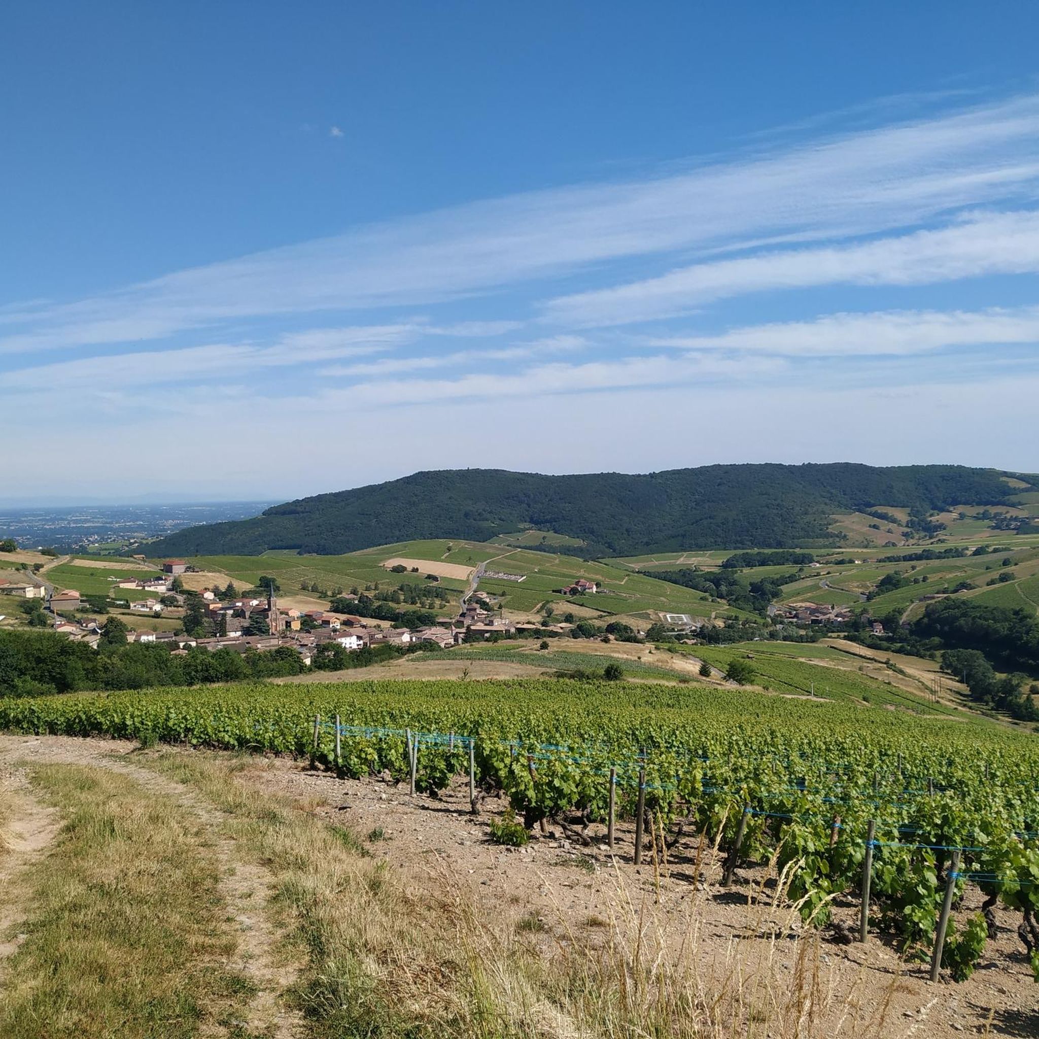
Best mountain passes around Jullié, a commune in the Rhône department of eastern France, are situated within the Auvergne-Rhône-Alpes region. The area's elevation ranges from 255 to 704 meters, characterized by the Beaujolais mountains and vineyards. This landscape offers panoramic views and routes suitable for cycling and hiking. The region provides accessible mountain passes near Jullié France.
Best mountain passes around Jullié
- The most popular mountain passes is Col de la Grange du Bois, a mountain pass that is…
Last updated: June 26, 2026
Col de Gerbet
Highlight • Mountain Pass
Translated by Google •
Tip by

Col des Enceints - 529 m
Highlight • Mountain Pass
Translated by Google •
Tip by
Sign up now to discover places like this
Get recommendations on the best single tracks, peaks, & plenty of other exciting outdoor places.
Sign up for free
Col de Durbize
Highlight • Mountain Pass
Showing Translation
Tip by

Col de la Grange du Bois
Highlight • Mountain Pass
Translated by Google •
Tip by

Col de la Sibérie, 638 m
Highlight • Mountain Pass
Translated by Google •
Tip by
Sign up for free to discover even more mountain passes around Jullié.
Sign up for free
Already have an account?
Start today with a free account
Your next adventure awaits.
Login or Signup

Tips from the Community

Although the pass is located in France and is not extremely high, its name translates to "Siberia Pass". The name goes back to the often very cold, snow-rich winds and the harsh weather conditions in winter.
1
0
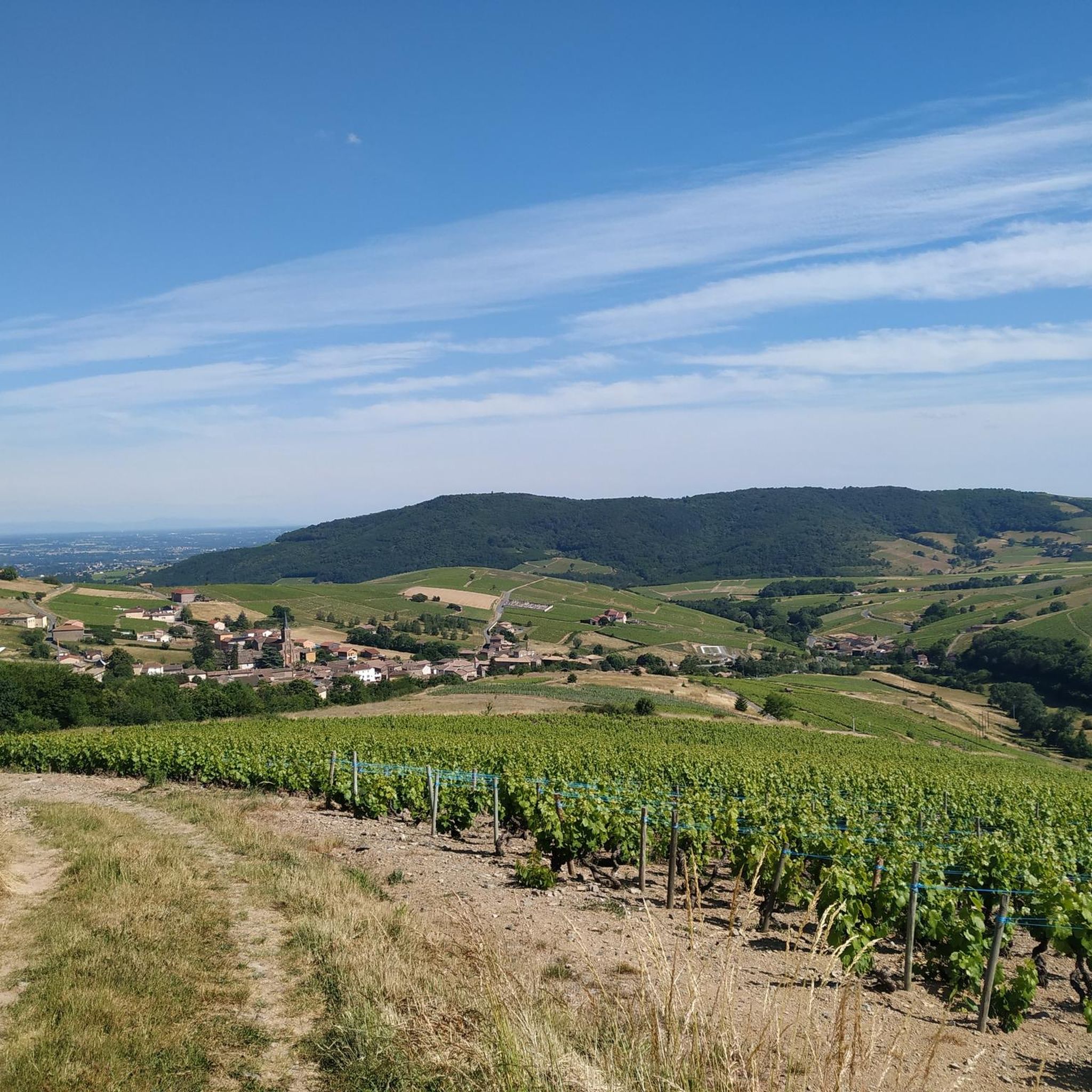
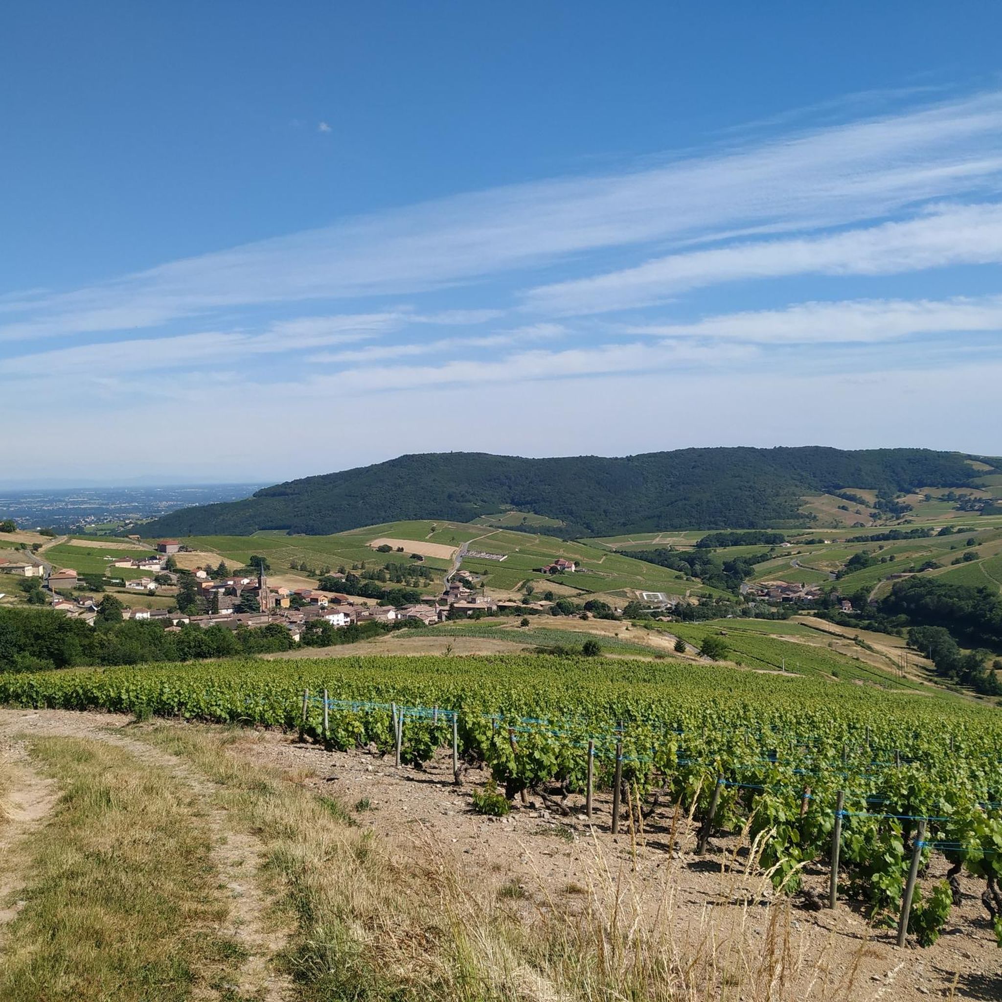
The Col de Durbize is a mountain pass at 550 meters above sea level in the municipality of Chiroubles, in the heart of the Beaujolais wine region. The pass is located in the Massif Central and, as an important road junction (intersection of roads D26, D86, and D18E1), connects surrounding wine villages such as Villié-Morgon and Beaujeu. It is particularly popular with road cyclists and hikers for its panoramic views.
0
0
The Col de Gerbet (612 m) is an idyllic mountain pass in the French wine-growing region of Beaujolais. Depending on the starting point, various roads with little traffic lead up to the pass via the D137. From Juliénas (south-east approach): This route is 7.3 kilometers long. It overcomes 342 meters of altitude with a steady, moderate gradient of 4.7% on average. The road winds through shady forest sections. From La Croix Blanche (west approach): A tougher variant 4.5 kilometers long. Here you conquer 270 meters of altitude with an average gradient of 6% and ramps of up to 11%.
1
0
The Col des Enceints is a mountain pass in the French region of Bourgogne-Franche-Comté (Département Saône-et-Loire) with a summit elevation of 529 meters. The pass is located in the Mâconnais mountains (Monts du Mâconnais) near the municipality of Bourgvilain. It is a popular route, especially among cyclists and hikers: For cyclists: The ascent from Pierreclos extends over approximately 4.3 kilometers with an elevation difference of about 257 meters and an average gradient of just under 6% (up to 12% at its steepest). For hikers: A moderate, approximately 8.5-kilometer circular hiking trail from Bourgvilain leads over the pass, among other routes, passing through forests and past small hamlets.
1
0


Magnificent view after a nice, not very technical descent
1
0

Finally there is a sign, certainly not like we are used to seeing them. Towards the orientation table, there is a post with a green border at the top where the name of the pass is indicated. In the area, that seems to be how the passes are marked, like its neighbor the Col de Pierreclos for example.
0
0

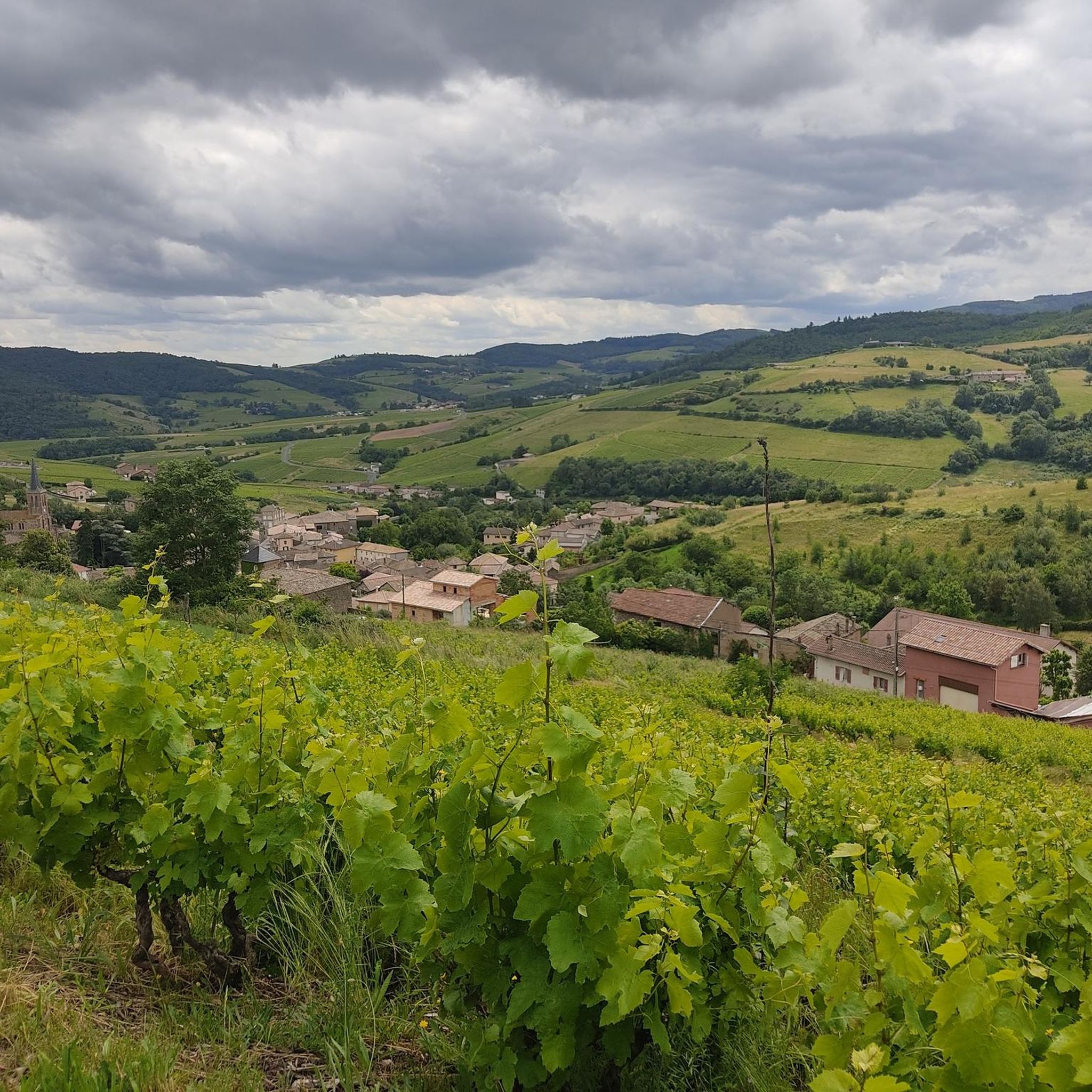
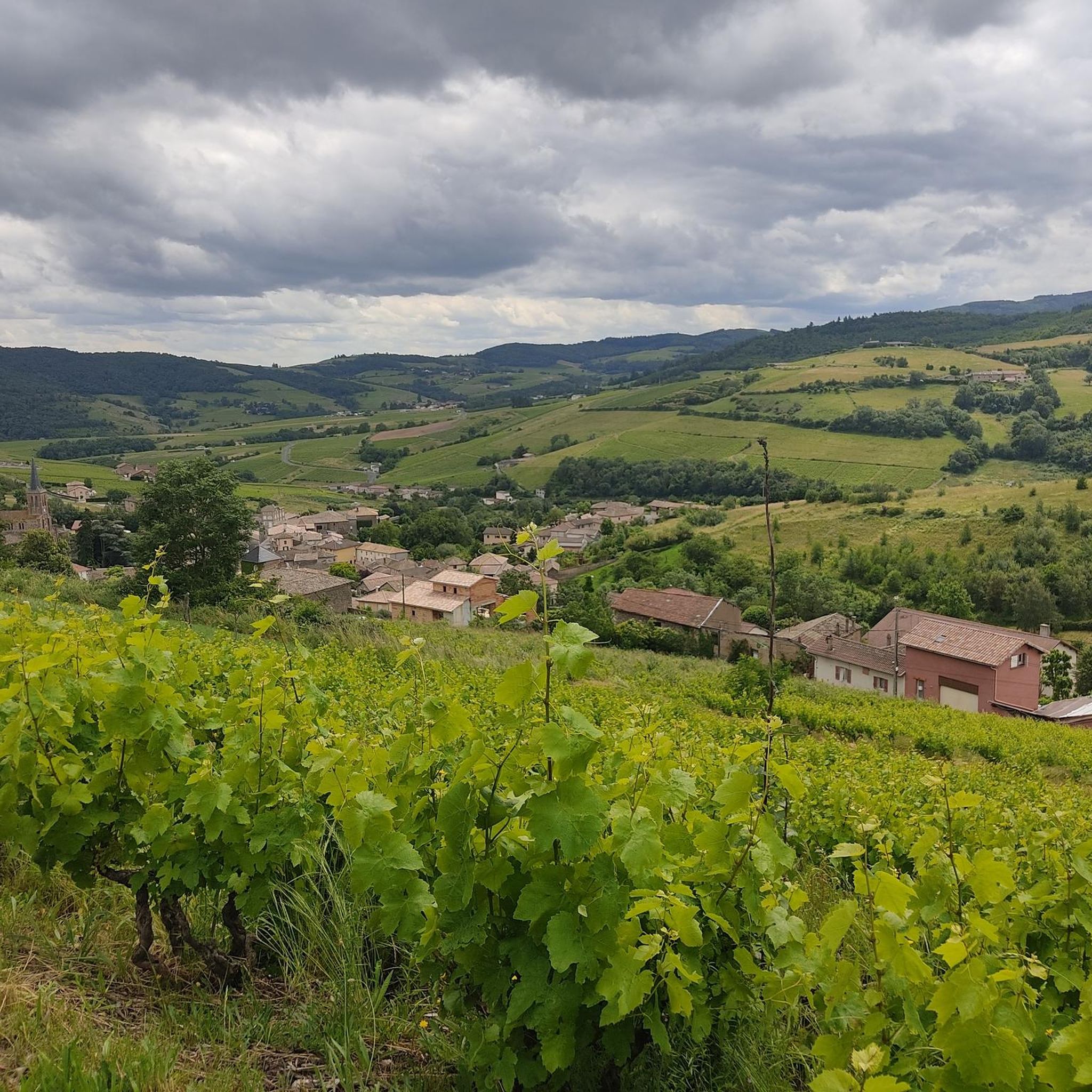
Several possible routes through the vineyards towards Villié-Morgon, notably via Chiroubles.
1
0
Frequently Asked Questions
What kind of mountain passes can I expect to find around Jullié?
The mountain passes around Jullié are generally at modest elevations, ranging from 255 to 704 meters. They are more associated with the Beaujolais mountains and vineyards, offering panoramic views and routes suitable for cycling and hiking, rather than the high-altitude, challenging passes found in major mountain ranges like the Alps.
Which mountain passes offer the best views in the Jullié region?
For stunning vistas, consider visiting Col de la Sibérie, 638 m, which provides incredible views over the Saône valley and, on clear days, the Alps, including Mont Blanc. Another excellent choice is Col du Fût d'Avenas, known for its superb views of the Beaujolais plain and the Dombes.
Are there any mountain passes around Jullié that are famous for cycling?
Yes, several passes are popular with cyclists. Col du Fût d'Avenas is a well-known site for road cycling, offering great views. Col de la Grange du Bois is also notable as a small bump that has been part of the Tour de France route, featuring quiet roads.
Can I see Mont Blanc from any of the mountain passes near Jullié?
Yes, from Col de la Sibérie, 638 m, you can often see the Alps and more specifically Mont Blanc on days with good weather conditions.
Are there family-friendly activities or facilities near the mountain passes?
The Col de Crie Hiking and Trail Center is an excellent family-friendly spot. It serves as a starting point for multiple hikes and offers picnic areas, games for children, and even a zip line. It also has a café and bike rental services.
What outdoor activities can I do near the mountain passes around Jullié?
The region around Jullié offers a variety of outdoor activities. You can find numerous routes for gravel biking, road cycling, and mountain biking. Many passes serve as cycle ways and starting points for trails, often featuring quiet roads and forest sections.
What are some unique features or landmarks at the mountain passes?
At Col de Crie, 622 m, you'll find a giant bike sculpture made by the Beaujolais bike club, which is a popular spot for photos. Col de la Grange du Bois offers a view of the majestic Rock of Solutré, adding a unique dimension to the landscape.
What is the best time to visit the mountain passes around Jullié?
The region's passes, with their forest sections and relatively modest elevations, are generally pleasant during warmer months. Summer can be appreciated for the shade provided by forests, though some areas like Col de la Grange du Bois can get hot quickly due to lack of shade. Spring and autumn also offer comfortable temperatures for outdoor activities.
Are the roads to the mountain passes generally quiet?
Many of the mountain passes around Jullié are known for their quiet roads, making them enjoyable for cycling and peaceful drives. For instance, the road to Col de la Sibérie, 638 m is described as 'ultra calm'. However, some passes like Col de Crie, 622 m can be quite busy with cars and trucks at peak times.
What do visitors enjoy most about the mountain passes around Jullié?
Visitors frequently appreciate the superb panoramic views, especially of the Beaujolais plain, the Dombes, and even the Alps on clear days. The quiet roads and forest sections are also highly valued, making for enjoyable cycling and hiking experiences. The region's passes are well-regarded by the komoot community, with many upvotes and shared photos.
Is there a specific mountain pass that is a good starting point for longer hikes?
Col de Crie, 622 m is a good starting point for the ascent of Mont St Rigaud. Additionally, the Col de Crie Hiking and Trail Center is designed as a starting point for multiple hikes, offering advice and resources.
Are there any mountain passes that are particularly suitable for mountain biking?
While Col du Fût d'Avenas is well-known for road cycling, it also serves as a starting point for several secondary roads and trails that are perfect for mountain biking. The region in general offers many MTB trails.
Most popular attractions around Jullié

Get inspired with the komoot mobile app


Explore more
See even more epic mountain passes by checking out these guides around Jullié:
