The best walks and hikes around Jullié
4.5
(733)
4,550
hikers
352
hikes
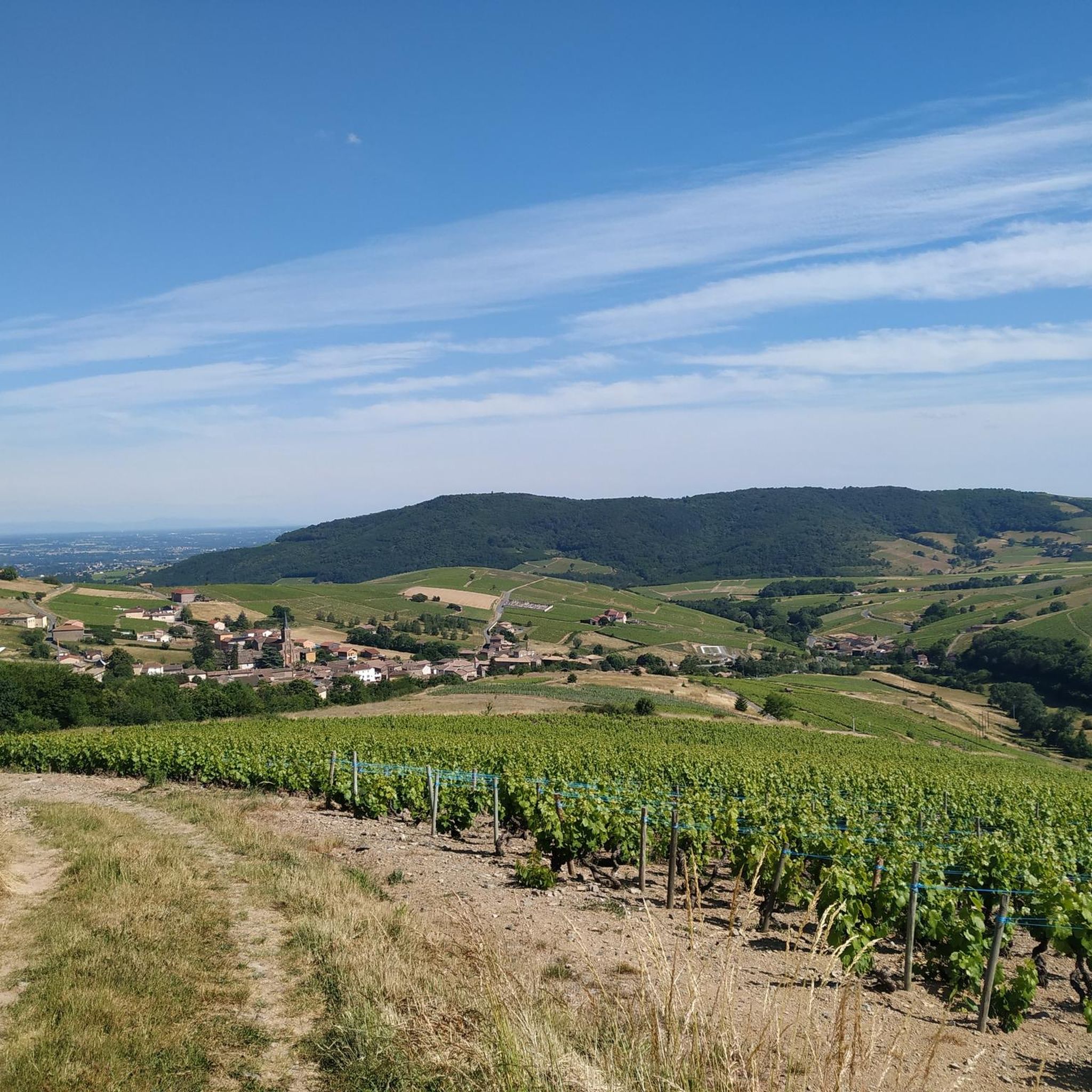
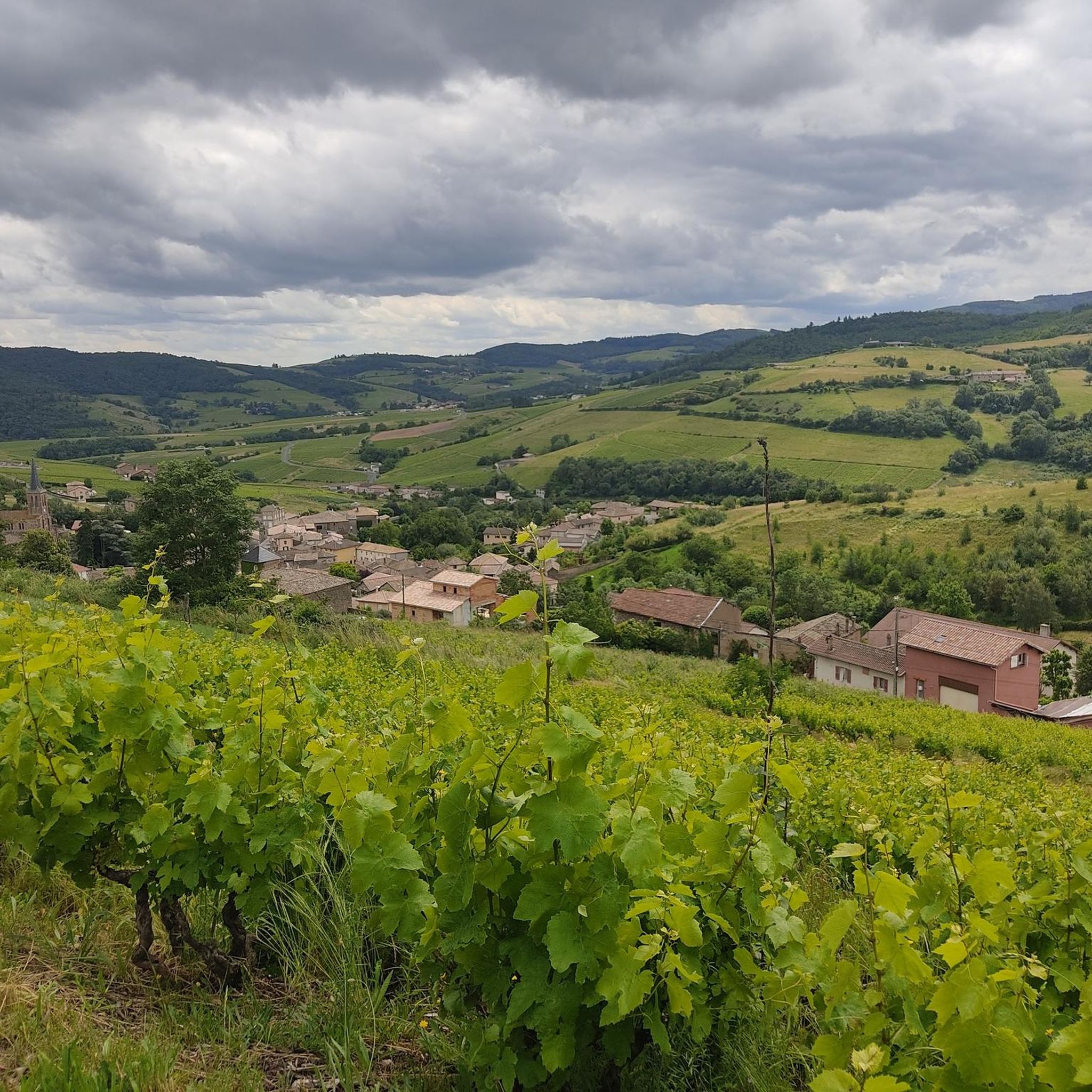
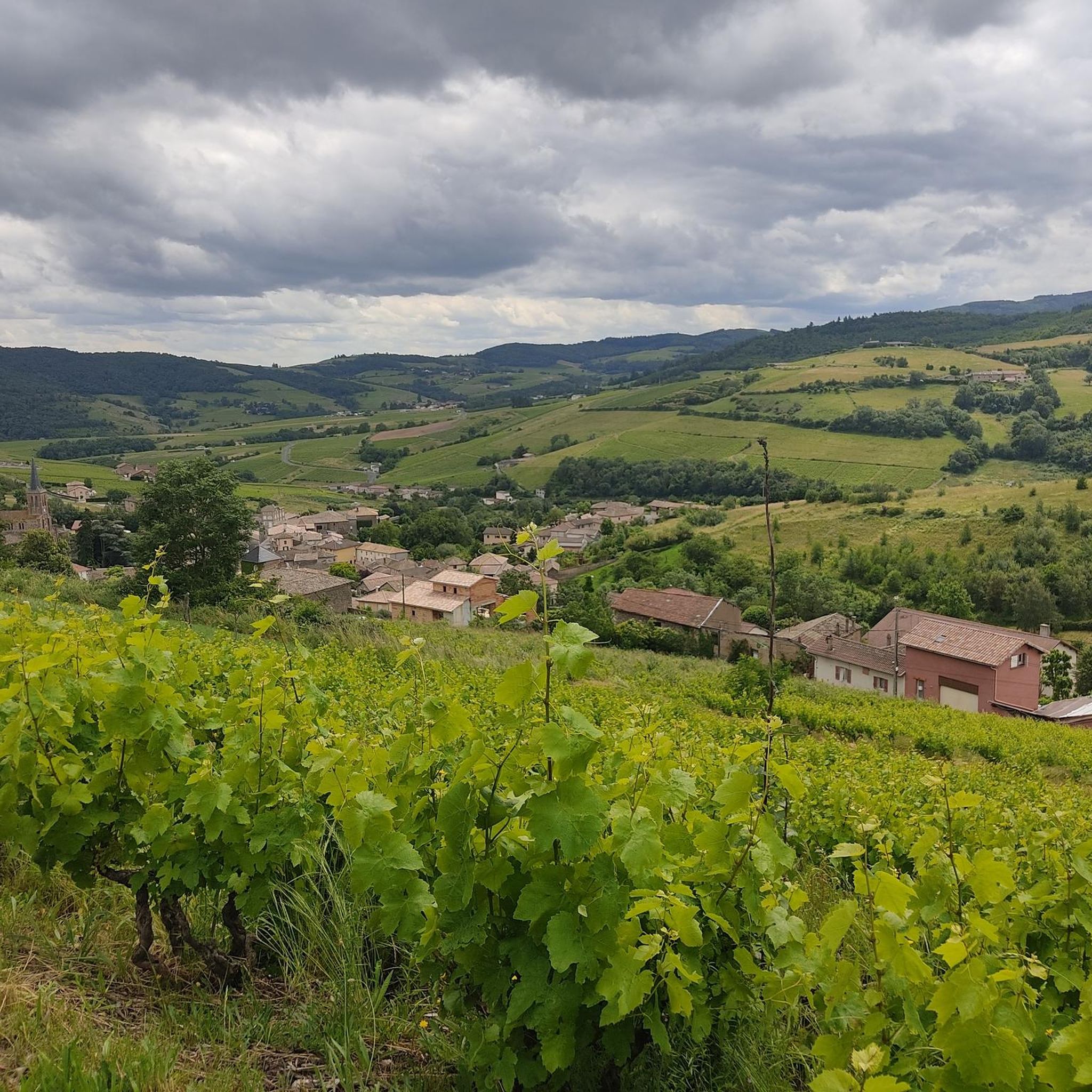
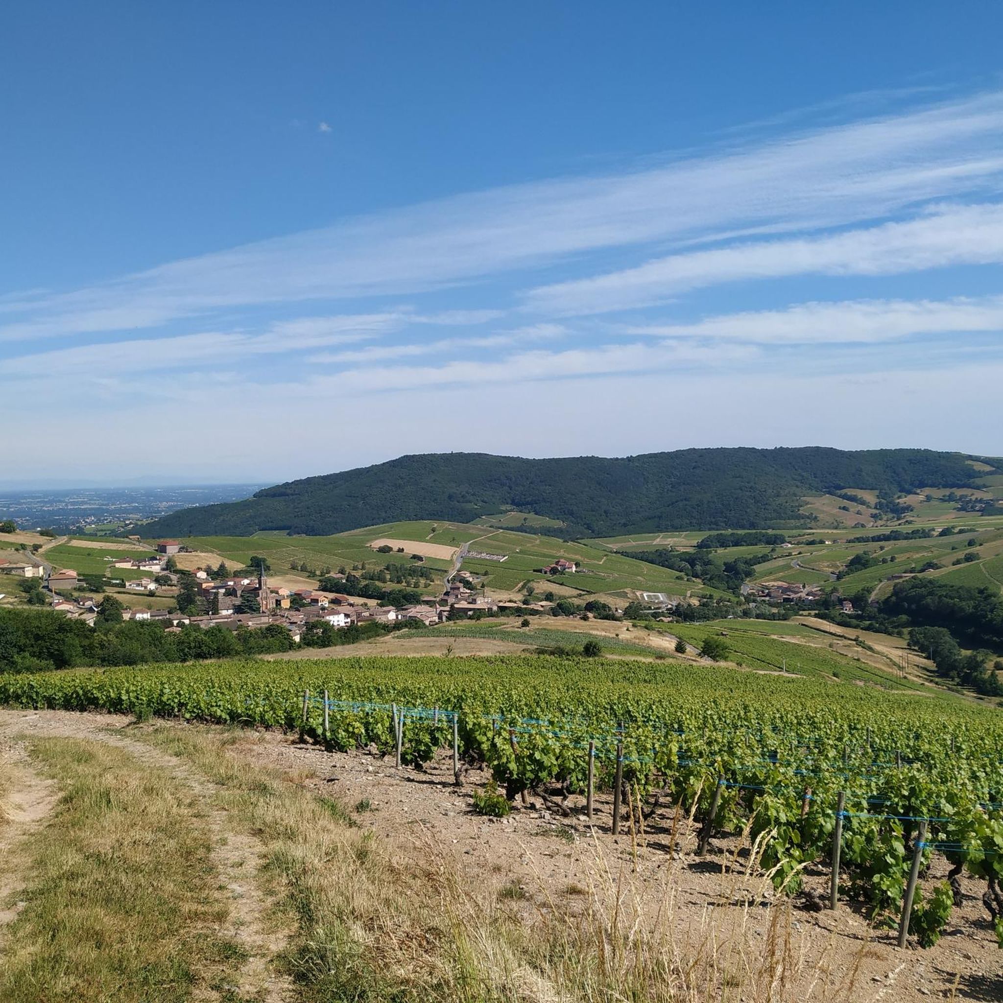
Hiking around Jullié offers diverse landscapes, from rolling vineyards to dense forests and picturesque valleys. The region is characterized by significant natural features such as the Roche de Solutré and Vergisson Rock, providing panoramic views. Hikers can explore varied terrain with moderate elevation changes, making it suitable for different fitness levels. The area features numerous dry stone shelters known as cadoles, adding historical interest to the natural surroundings.
Best hiking trails around Jullié
- The most popular hiking route is Cenves…
Last updated: June 27, 2026
4.2
(15)
43
hikers
6.97km
02:06
220m
210m
Moderate hike. Good fitness required. Easily-accessible paths. Suitable for all skill levels.
4.6
(5)
19
hikers
6.56km
02:02
250m
250m
Moderate hike. Good fitness required. Easily-accessible paths. Suitable for all skill levels.

Sign up for free
4.5
(4)
17
hikers
18.4km
05:35
630m
630m
Hard hike. Very good fitness required. Easily-accessible paths. Suitable for all skill levels.
4.5
(2)
20
hikers
15.9km
04:56
620m
620m
Moderate hike. Good fitness required. Easily-accessible paths. Suitable for all skill levels.
5.0
(1)
16
hikers
8.65km
02:35
260m
260m
Moderate hike. Good fitness required. Easily-accessible paths. Suitable for all skill levels.
Get access to more routes and recommendations from other explorers.
Sign up for free
Already have an account?
Our route recommendations are based on thousands of hikes, rides, and runs completed by other people on komoot.
Start today with a free account
Your next adventure awaits.
Login or Signup

Tips from the Community

Although the pass is located in France and is not extremely high, its name translates to "Siberia Pass". The name goes back to the often very cold, snow-rich winds and the harsh weather conditions in winter.
1
0
The viewpoint is located in the well-known Beaujolais wine region, in the municipality of Chénas. It is an old stone ruin (historically often referred to as Cabane des Chasseurs or hunter's hut), which has been equipped with a modern metal staircase and a viewing platform. The ruin is located at 515 meters above sea level and offers hikers a spectacular 360-degree panoramic view of the surrounding vineyards and valleys of the region.
2
0
The Col de Gerbet (612 m) is an idyllic mountain pass in the French wine-growing region of Beaujolais. Depending on the starting point, various roads with little traffic lead up to the pass via the D137. From Juliénas (south-east approach): This route is 7.3 kilometers long. It overcomes 342 meters of altitude with a steady, moderate gradient of 4.7% on average. The road winds through shady forest sections. From La Croix Blanche (west approach): A tougher variant 4.5 kilometers long. Here you conquer 270 meters of altitude with an average gradient of 6% and ramps of up to 11%.
1
0


Magnificent view after a nice, not very technical descent
1
0


Viewpoint of the priory, the rock of Vergisson, the rock of Solutré, the Val de Saône, the Bresse, the Jura and in good weather Mont Blanc
1
0

Wonderful stage stop on my Camino https://huettemann.eu/de/2023/10/von-cluny-an-die-loire-berndscamino/
1
0
Frequently Asked Questions
How many hiking trails can I explore around Jullié?
Jullié offers a wide network of over 330 hiking trails, catering to various preferences and fitness levels. You'll find everything from easy strolls to more challenging treks through vineyards, forests, and picturesque valleys.
Are there easy or family-friendly hiking options in Jullié?
Yes, Jullié is well-suited for families and those seeking easier walks. There are over 120 easy routes available. Additionally, the region offers engaging Randoland circuits, designed as treasure hunts to make hiking interactive and educational for children.
What kind of natural landmarks or attractions can I see while hiking in Jullié?
The Jullié region is rich in natural monuments and viewpoints. You can hike to the iconic Roche de Solutré or Vergisson Rock for spectacular panoramic views over the Mâconnais vineyards. Other notable spots include Rémont Mountain and Rochefort Cross, offering expansive vistas of the Beaujolais mountains and even the distant Alps on clear days.
Are there any circular hiking routes around Jullié?
Yes, Jullié features several circular hiking routes. The village's festival hall serves as a starting point for six themed circuits, ranging from 5.3 km to 16.5 km, all clearly marked. An example is the challenging Col de Gerbet – Col de la Sibérie, 638 m loop from Jullié, which covers 18.4 km.
What do other hikers say about the trails in Jullié?
The hiking trails in Jullié are highly regarded by the komoot community, with an average rating of 4.5 stars from over 800 reviews. Hikers frequently praise the diverse landscapes, including vineyards and forests, and the well-maintained paths that offer stunning views.
Can I bring my dog on the hiking trails in Jullié?
Most natural areas and trails in Jullié are generally dog-friendly, provided your dog is kept under control, especially when passing through vineyards or near livestock. Always carry water for your pet and clean up after them to ensure a pleasant experience for everyone.
What is the best time of year to go hiking in Jullié?
The spring and autumn months are ideal for hiking in Jullié, offering pleasant temperatures and beautiful scenery as the vineyards change color. The village also hosts an annual hiking event, "La Julliationne," on the last Sunday of April, which is a great time to experience the local hiking community.
Are there any historical sites or cultural points of interest along the trails?
Beyond natural beauty, Jullié's landscape is dotted with historical elements. You can discover numerous dry stone shelters known as cadoles, which are traditional local architectural features. The protected natural area of Site de La Roche also features a historic castle, a serene pond, and a traditional wash-house. The privately owned 12th-century Vâtre Chapel adds further historical interest.
Where can I park when hiking in Jullié?
Many of the themed hiking circuits in Jullié start from the village's festival hall, where parking is typically available. For specific routes, it's advisable to check the tour details on komoot for designated parking areas near the trailhead.
Are there opportunities to visit wineries or taste local products after a hike?
Absolutely. The Jullié region is renowned for its Beaujolais wines, with hillsides covered in Gamay à Jus Blanc grapes. Many local wineries welcome visitors for tastings, making it a perfect way to combine your outdoor adventure with a cultural and culinary experience.
What are some moderate hiking trails I can explore?
Jullié offers a good selection of moderate trails. For example, the Cenves – Cenvès GR 765 N Rest Area loop from Cenves is a 14.1 km route with significant elevation changes, providing a rewarding challenge. Another option is the Rémont Mountain – View of the Vineyards loop from Émeringes, a 11.4 km path with expansive vistas.
What kind of terrain can I expect on the trails around Jullié?
The terrain around Jullié is quite varied, offering a mix of experiences. You'll encounter rolling vineyards, dense forests, and picturesque valleys. Many trails feature moderate elevation changes, providing engaging walks without being overly strenuous, and often lead to stunning viewpoints.
Most popular attractions around Jullié

Get inspired with the komoot mobile app


Explore more
Browse the best Hikes in other regions.
