The best road cycling routes around Bénifontaine
4.3
(226)
5,591
riders
498
rides
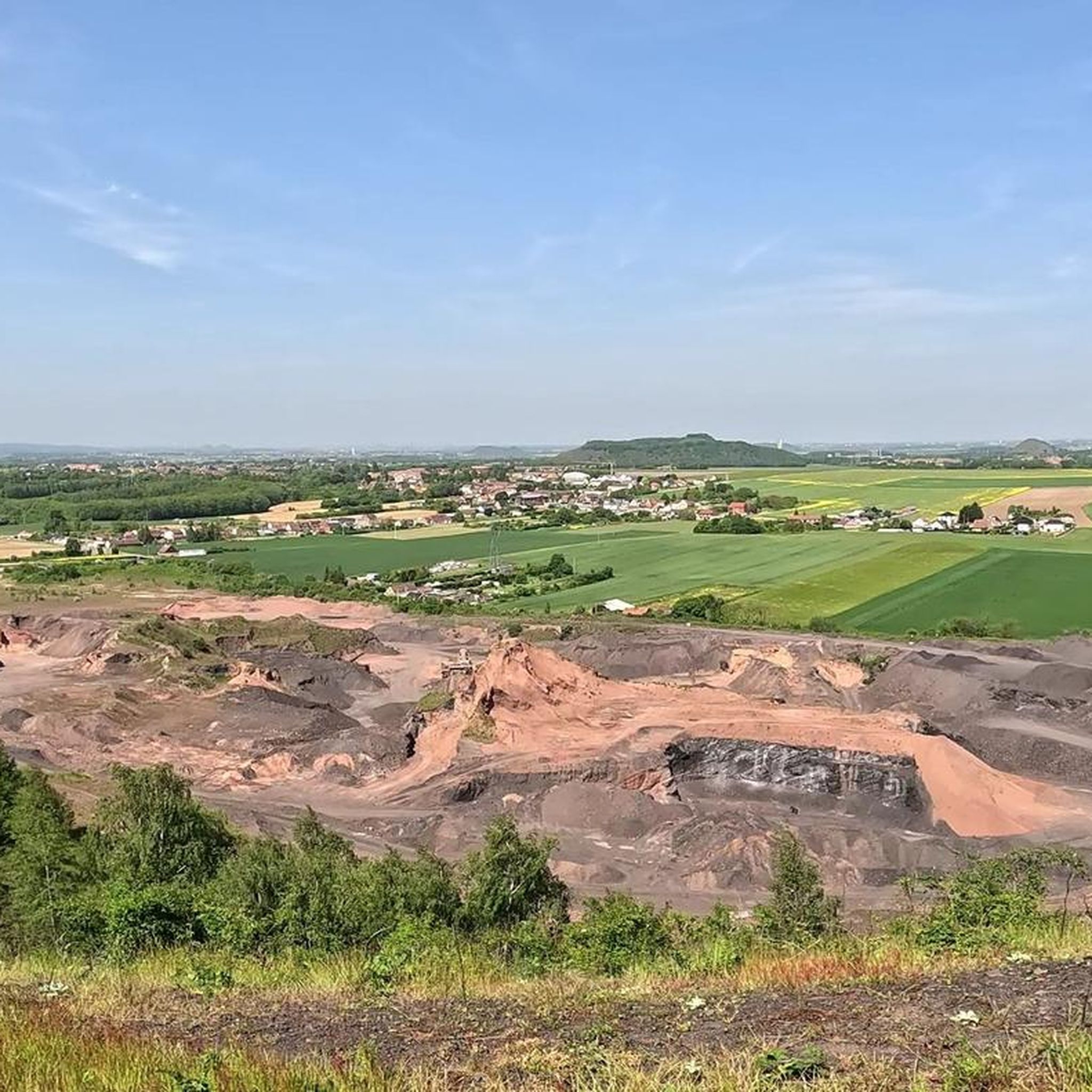
Road cycling around Bénifontaine, located in Pas-de-Calais, France, offers a varied landscape for exploration. The region features a contrast between dry slag heaps, remnants of its industrial past, and preserved natural wetlands and marshes. Routes often traverse well-paved surfaces, providing smooth riding conditions through this unique ecological environment where the Flot de Wingles river flows. The topography includes gentle gradients and some routes with significant elevation gains, catering to different fitness levels.
Best road cycling routes around Bénifontaine
- The most popular road cycling route is Ruins of Mont-Saint-Eloi Abbey – Abbey of Mont-Saint-Éloi loop from Pont-à-Vendin, a 59.4 miles (95.7 km) trail that takes 4 hours 17 minutes to complete. This moderate route features varied terrain and historical points of interest.
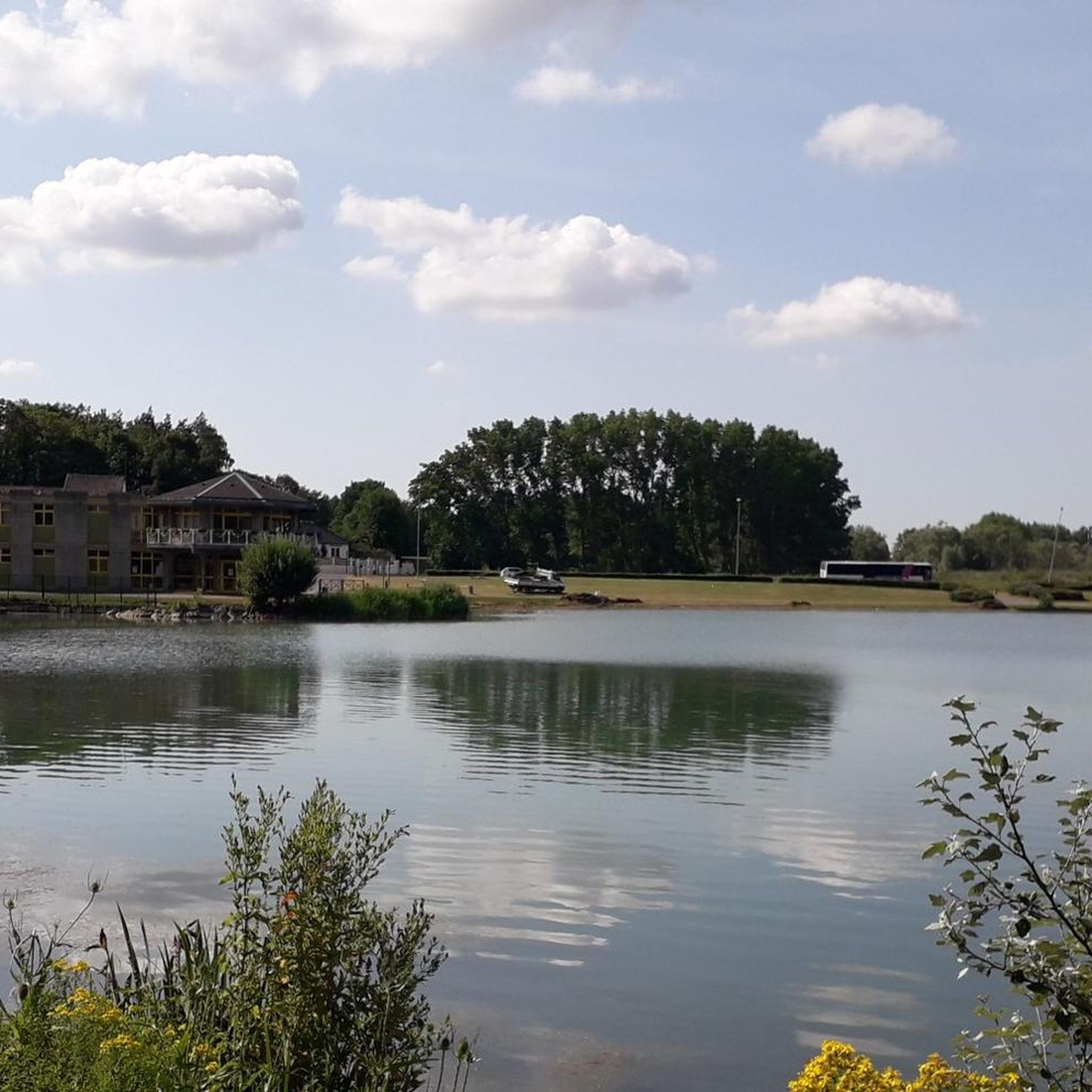
- Another top favourite among local road cyclists is Between the lakes – The Marshes - Lécluse Pond loop from Pont-à-Vendin, a moderate 52.0 miles (83.6 km) path. This route leads through the region's distinctive wetlands and marshlands, offering views of diverse natural habitats.
- Local road cyclists also love the Abbey of Mont Saint-Éloi – Ruins of Mont-Saint-Eloi Abbey loop from Pont-à-Vendin, a 69.3 miles (111.5 km) trail leading through historical sites and varied topography, often completed in about 5 hours 13 minutes.
- Road cycling around Bénifontaine is defined by its blend of industrial heritage sites, unspoiled wetlands, and well-maintained road surfaces. The network offers options for easy, moderate, and difficult routes, accommodating various ability levels.
- The routes in Bénifontaine are highly rated by the komoot community with an average score of 4.3 stars from more than 200 reviews. More than 5,500 road cyclists have used komoot to explore Bénifontaine's varied terrain.
Last updated: July 1, 2026
47
riders
Moderate road ride. Good fitness required. Some segments of this route may be unpaved and difficult to ride.
4.0
(1)
72
riders
Moderate road ride. Good fitness required. Mostly well-paved surfaces and easy to ride.

Sign up for free
4.0
(1)
75
riders
102km
04:26
640m
640m
Moderate road ride. Good fitness required. Mostly well-paved surfaces and easy to ride.
20
riders
Hard road ride. Very good fitness required. Mostly well-paved surfaces and easy to ride.
18
riders
68.1km
03:05
370m
370m
Moderate road ride. Good fitness required. Some segments of this route may be unpaved and difficult to ride.
Get access to more routes and recommendations from other explorers.
Sign up for free
Already have an account?
Our route recommendations are based on thousands of hikes, rides, and runs completed by other people on komoot.
Start today with a free account
Your next adventure awaits.
Login or Signup



Tips from the Community


The ruins of the old church of Ablain-Saint-Nazaire are an impressive and symbolic remnant of the First World War. This church, built in the 16th century in flamboyant Gothic style by Jacques Le Caron, was heavily damaged during the fighting in 1915. The ruins have been preserved as a monument to commemorate the horrors of war.
7
0
A remarkable story about the ruins concerns the decision not to rebuild the church after the war. Although the church had been classified as a historical monument in 1908, the Commission for Historical Monuments decided that the ruins should remain as a testimony to the German destruction. Ironically, it was the French guns that had destroyed the church, but the ruins became a symbol of the war and the reconstruction.
6
0

The Canadian National Vimy Memorial (Vimy, Pas-de-Calais department) is a memorial dedicated to those who were missing or killed in World War I in the Canadian Expeditionary Force. The monument is located on the site of a well-preserved or partially reconstructed battlefield, including trenches and tunnels. Guided tours are offered in French and English, there are several memorials, a permanent and a temporary exhibition, a museum shop and a marked hiking trail that conveys the history of the site.
0
0

You absolutely have to see it. The climb is worth it ;-)
0
0

Small hill over 500 meters through fields and woods, with a positive elevation gain of 26 meters.
0
0
From the top of a hill, the panorama from Mont-Saint-Eloi extends over the entire Scarpe valley and the Artois plain. The village is known for the ruins of its abbey, and the two towers dominate the surrounding landscape.
0
0

The Montée des Canadiens in Givenchy-en-Gohelle is an unmissable challenge for road cyclists. This climb, located near the Canadian Vimy Memorial, offers a gradual ascent, ideal for cycling enthusiasts. As you climb the hill, you can enjoy a clear landscape of the surrounding plains and a setting steeped in memory, marked by the battles of the First World War.
0
0
Frequently Asked Questions
What kind of terrain can I expect on road cycling routes around Bénifontaine?
Road cycling routes around Bénifontaine offer a unique blend of landscapes. You'll find well-paved surfaces traversing areas that juxtapose the region's industrial heritage, such as dry slag heaps, with preserved natural wetlands and marshes. The topography includes gentle gradients, but some routes also feature significant elevation gains, providing varied challenges.
Are there road cycling routes suitable for all fitness levels in Bénifontaine?
Yes, Bénifontaine offers a diverse range of road cycling routes catering to various fitness levels. You can find easy rides perfect for a relaxed outing, as well as moderate and more difficult routes for those seeking a greater challenge. In total, there are over 500 road cycling routes, with more than 100 easy options, over 360 moderate routes, and nearly 30 difficult trails.
What historical sites or natural features can I see while road cycling near Bénifontaine?
The region around Bénifontaine is rich in both historical sites and unique natural features. You can cycle past remnants of the mining past, like the Terril de Drocourt or the Loos-en-Gohelle slag heap. The routes also often lead through vibrant wetlands and marshes, such as the area around Marsh Pond or Marais de la Galance, offering views of diverse natural habitats.
Are there any notable landmarks or monuments along the road cycling routes?
Yes, many road cycling routes in the Bénifontaine area incorporate significant landmarks. You might encounter historical sites like the Notre-Dame-de-Lorette National Cemetery, the Ring of Remembrance, or the Hill 70 Canadian Memorial, adding a cultural dimension to your ride. Routes like the Ruins of Mont-Saint-Eloi Abbey – Abbey of Mont-Saint-Éloi loop from Pont-à-Vendin specifically highlight historical points of interest.
What do other road cyclists enjoy the most about road cycling in Bénifontaine?
The road cycling routes around Bénifontaine are highly rated by the komoot community, with an average score of 4.3 stars from over 200 reviews. Cyclists often praise the unique blend of industrial heritage sites and unspoiled wetlands, the well-maintained road surfaces, and the opportunity to experience quiet roads and picturesque landscapes.
Are there any circular road cycling routes available in Bénifontaine?
Yes, many of the road cycling routes around Bénifontaine are designed as loops, offering circular journeys. For example, the Between the lakes – The Marshes - Lécluse Pond loop from Pont-à-Vendin takes you through distinctive wetlands, while the Abbey of Mont Saint-Éloi – Ruins of Mont-Saint-Eloi Abbey loop from Pont-à-Vendin explores historical sites and varied topography.
Can I find road cycling routes that are suitable for families?
While specific 'family-friendly' designations are not always explicit for road cycling, the presence of over 100 easy routes suggests there are options with less elevation and shorter distances that could be suitable for families. Look for routes with lower difficulty ratings and consider the overall distance to match your family's capabilities.
What is the best time of year for road cycling in Bénifontaine?
The region's varied landscape can be enjoyed throughout much of the year. While specific seasonal considerations are not detailed, generally, spring and autumn offer pleasant temperatures for cycling. Summer can also be enjoyable, but it's always wise to check local weather forecasts. The quiet roads and picturesque landscapes are a constant draw.
Are there options for longer road cycling tours around Bénifontaine?
Absolutely. For those looking for longer rides, Bénifontaine and the surrounding area offer numerous options. Routes like the Ruins of Mont-Saint-Eloi Abbey – Abbey of Mont Saint-Éloi loop from Pont-à-Vendin cover over 112 kilometers (70 miles), providing extensive distances for endurance cyclists.
Where can I find parking when planning a road cycling trip to Bénifontaine?
As Bénifontaine is a smaller commune, general parking is typically available within the village itself. For routes starting from nearby towns like Pont-à-Vendin, you would generally find parking facilities there. It's advisable to check specific starting points for routes for the most convenient parking options.
Are there any road cycling routes that offer significant elevation gains?
Yes, while many routes feature gentle gradients, the broader Pas-de-Calais region, which includes Bénifontaine, offers routes with significant elevation gains. For instance, the Abbey of Mont Saint-Éloi – Ruins of Mont-Saint-Eloi Abbey loop from Pont-à-Vendin route includes over 870 meters (2,850 feet) of ascent, providing a challenging climb for road cyclists.
Most popular routes around Bénifontaine
Most popular attractions around Bénifontaine

Get inspired with the komoot mobile app


Explore more
Browse the best Road cycling routes in other regions.
