The best road cycling routes around Éterpigny
4.2
(171)
1,458
riders
166
rides
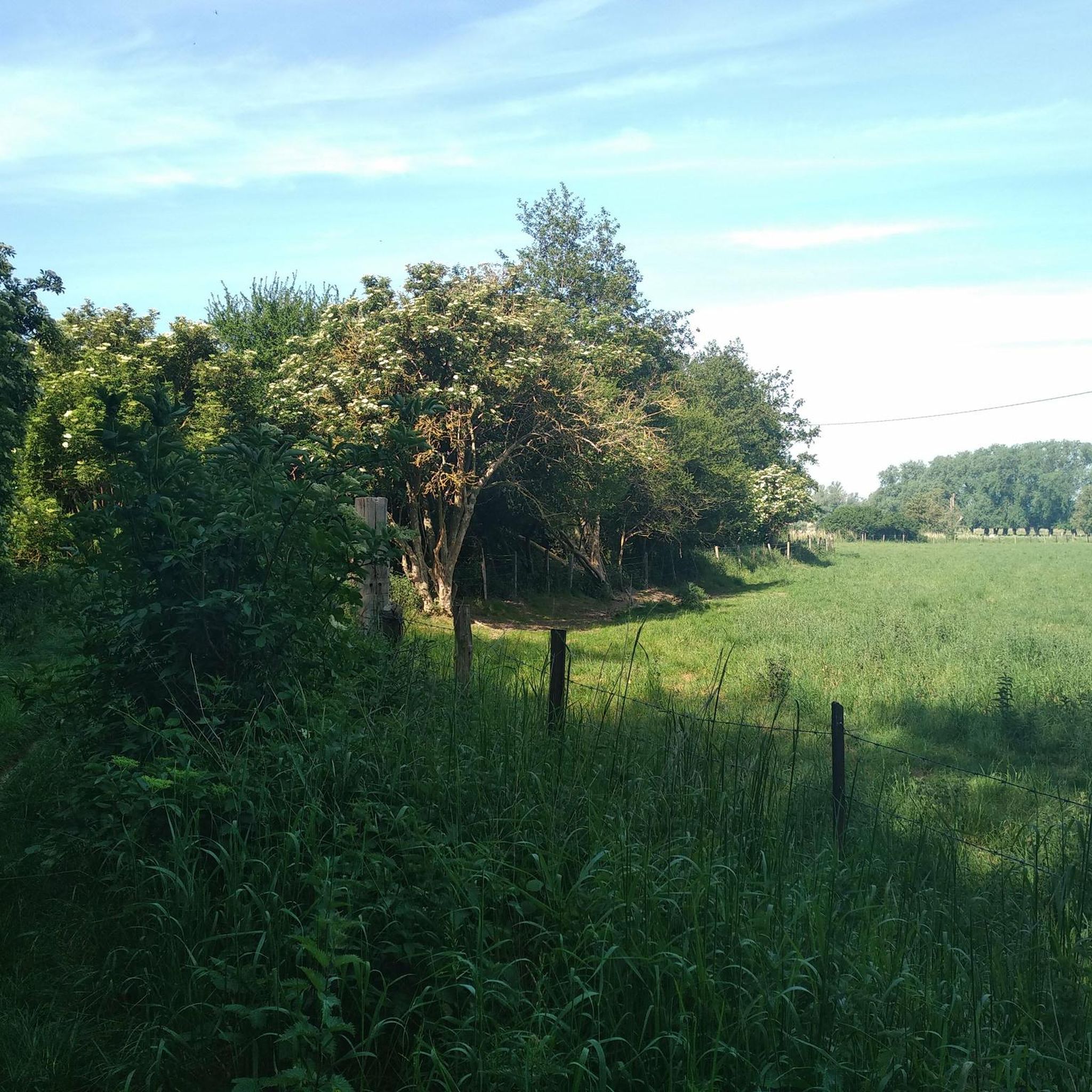
Road cycling around Éterpigny, a rural commune in Pas-de-Calais, offers a serene setting characterized by gently undulating plains and a modest elevation ranging from 41 to 67 meters. The terrain is generally flat to gently rolling, making it suitable for road cyclists of varying abilities. The region is integrated into a cycling network, featuring tranquil country roads through agricultural areas and along river valleys, particularly within the ecological complex of the Sensée Valley.
Best road cycling routes around Éterpigny
- The…
Last updated: June 26, 2026
4.7
(3)
25
riders
59.3km
02:26
340m
340m
Moderate road ride. Good fitness required. Mostly well-paved surfaces and easy to ride.
4.0
(3)
22
riders
35.9km
01:26
170m
170m
Moderate road ride. Great for any fitness level. Some segments of this route may be unpaved and difficult to ride.

Sign up for free
13
riders
38.0km
01:33
180m
180m
Easy road ride. Great for any fitness level. Mostly well-paved surfaces and easy to ride.
4.3
(3)
11
riders
55.4km
02:22
380m
380m
Moderate road ride. Good fitness required. Mostly well-paved surfaces and easy to ride.
9
riders
60.1km
02:23
230m
230m
Moderate road ride. Good fitness required. Mostly well-paved surfaces and easy to ride.
Get access to more routes and recommendations from other explorers.
Sign up for free
Already have an account?
Our route recommendations are based on thousands of hikes, rides, and runs completed by other people on komoot.
Start today with a free account
Your next adventure awaits.
Login or Signup




Tips from the Community

A beautiful square in Arras, a must-see both day and night. This is where the market is held on Saturday mornings.
1
0


The Carrière Wellington is an underground quarry in Arras, France. It was used as a shelter for soldiers during the First World War and is now a museum in memory of the victims of the Battle of Arras in 1917.
7
0

From the Grand Place to the Place des Héros, known as the “little square”, they are unlike any other in Northern Europe. They are a theatre setting, an agora, a unique architectural ensemble, the site of a centuries-old market and endless walks: here we take the time to live, for centuries! See the market as a single historical set, 155 house facades are valuable as historical monuments.
2
0

Impressive memorial and exciting place in the First World War.
2
0
Stately architecture that invites you to stroll. Many restaurants, you should take the time to enjoy the overall effect in a relaxed manner.
1
0
The Grand-Place in Arras is a public urban square in the municipality of Arras in the Hauts-de-France region. It is a rectangular square with an area of 17,664 m² and a length of 184 meters and a width of 96 meters. The square is connected to the Place des Héros via Rue de la Taillerie. The square is of the Grand-Place type and has a completely mineral appearance that is found in many cities in the former Low Countries. It is the historical and main place of the city.
9
0
Frequently Asked Questions
What kind of terrain can I expect when road cycling around Éterpigny?
Éterpigny and its surroundings are characterized by gently undulating plains with a modest elevation, generally ranging from 41 to 67 meters. This provides a relatively flat to gently rolling terrain, making it suitable for road cyclists of varying abilities. You'll find tranquil country roads winding through agricultural areas and along river valleys, particularly within the ecological complex of the Sensée Valley.
Are there road cycling routes suitable for beginners or those looking for an easy ride?
Yes, Éterpigny offers a good selection of routes for all abilities. Out of the 169 road cycling routes available, 48 are classified as easy, providing a gentle introduction to the region's scenic landscapes. These routes are perfect for a relaxed ride through the rural plains.
What are some notable natural features or landscapes I can experience on a road bike in Éterpigny?
The region is known for its serene rural plains and the ecological richness of the Sensée Valley. Many routes offer views of marshlands and ponds, characteristic of this valley. For example, The Marshes - Lécluse Pond – Between the lakes loop from Vis-en-Artois provides scenic views of these natural features.
Can I find circular road cycling routes around Éterpigny?
Yes, many of the road cycling routes around Éterpigny are designed as loops, allowing you to start and end your ride in the same location. Popular examples include Place des Héros – Fampoux - Canalized Scarpe loop from Haucourt and The Marshes - Lécluse Pond – Between the lakes loop from Haucourt.
What kind of historical sites or landmarks can I see while cycling in the area?
While cycling, you can explore the region's rich heritage. Nearby attractions include megalithic sites like Les Bonnettes, The Menhir of Lécluse or the Devil's Stone, and Hamel Dolmen or the Sorcerers' Kitchen (Pierre Chavatte). The historical Clos Barthélémy – Château d'Eterpigny also offers a glimpse into the region's past.
What is the best time of year for road cycling in Éterpigny?
The gently rolling terrain of Éterpigny makes it enjoyable for road cycling throughout much of the year. Spring and autumn generally offer pleasant temperatures and beautiful scenery. Summer is also suitable, though it's always advisable to check local weather forecasts for optimal conditions.
Are there any longer or more challenging road cycling routes for experienced riders?
Yes, for those seeking a greater challenge, Éterpigny offers 117 moderate routes and 4 difficult routes. These routes often feature more elevation gain and longer distances. An example of a moderate route is 1917 — Écoust-Saint-Mein loop from Vis-en-Artois, which covers over 55 km with significant elevation changes.
What do other road cyclists say about the routes in Éterpigny?
The road cycling routes in Éterpigny are highly regarded by the komoot community, holding an average rating of 4.2 stars from over 100 reviews. More than 1600 road cyclists have explored the area using komoot, often praising the tranquil country roads and the scenic agricultural landscapes.
Is Éterpigny well-connected for cyclists using public transport?
While Éterpigny itself is a rural commune, the broader Pas-de-Calais region has a regional cycling network. For specific public transport options to reach starting points, it's recommended to check local transport schedules, as services to smaller villages may be less frequent.
Are there family-friendly road cycling options in Éterpigny?
The generally flat to gently rolling terrain of Éterpigny makes it suitable for family-friendly road cycling. Many of the 48 easy routes are ideal for families looking for a relaxed ride through the peaceful rural environment, away from heavy traffic.
What is the typical length of road cycling routes in the Éterpigny area?
Route lengths vary to accommodate different preferences. You can find shorter, easy rides, as well as longer, more challenging routes. For instance, The Marshes - Lécluse Pond – Between the lakes loop from Vis-en-Artois is about 35.9 km, while Angel Memorial – Biache-Saint-Vaast marshes loop from Vis-en-Artois extends to over 60 km.
Are there specific viewpoints or scenic spots along the road cycling routes?
The expansive views of agricultural fields and the tranquil rural environment within the 'landscapes of the great Arrageois and Cambrésis plains' offer numerous scenic spots. Routes along the Sensée Valley also provide picturesque views of marshlands and riverine landscapes, perfect for enjoying the natural beauty of the region.
Most popular attractions around Éterpigny

Get inspired with the komoot mobile app


Explore more
Browse the best Road cycling routes in other regions.
