The best MTB trails around Montagny-Sur-Grosne
4.5
(35)
132
riders
41
rides
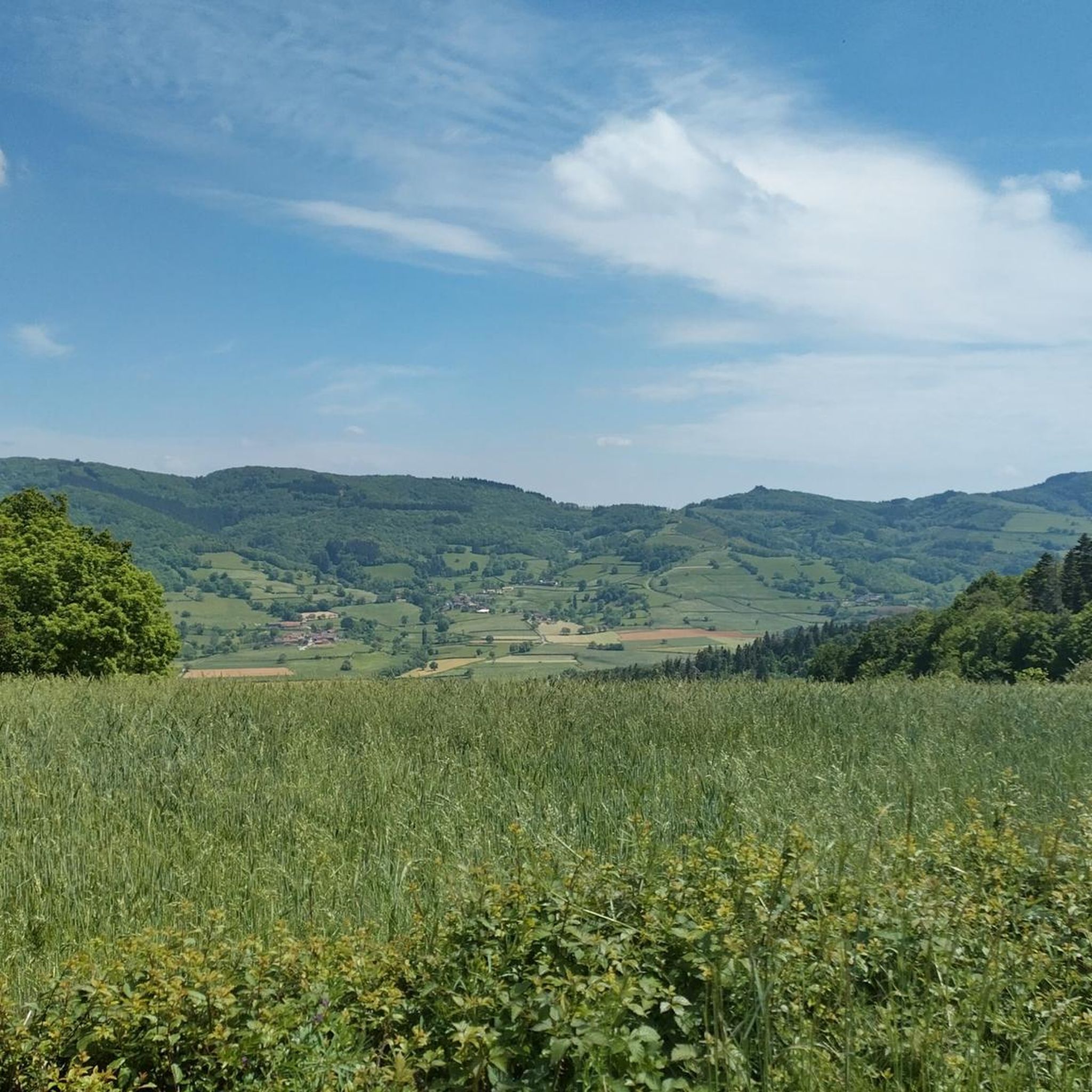
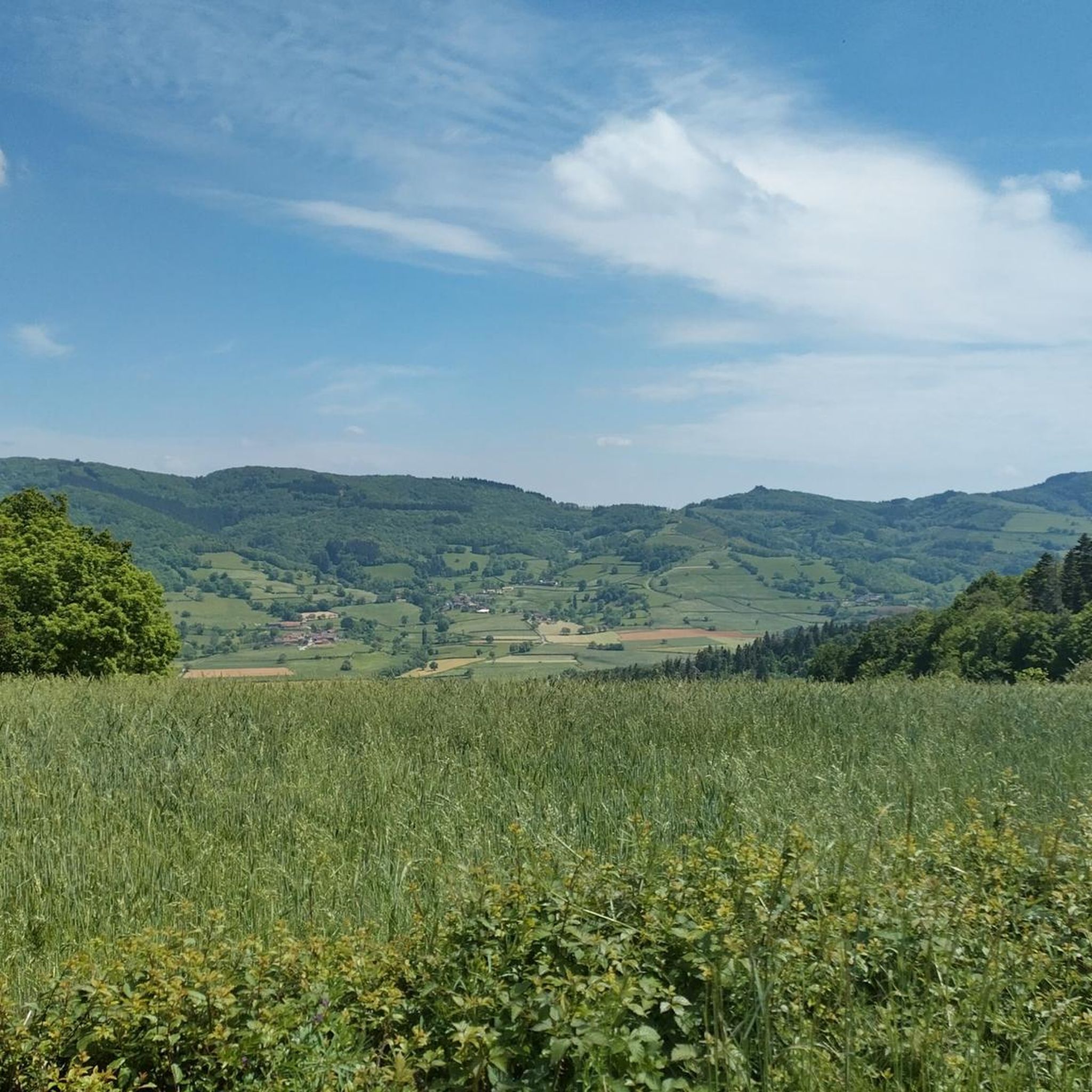
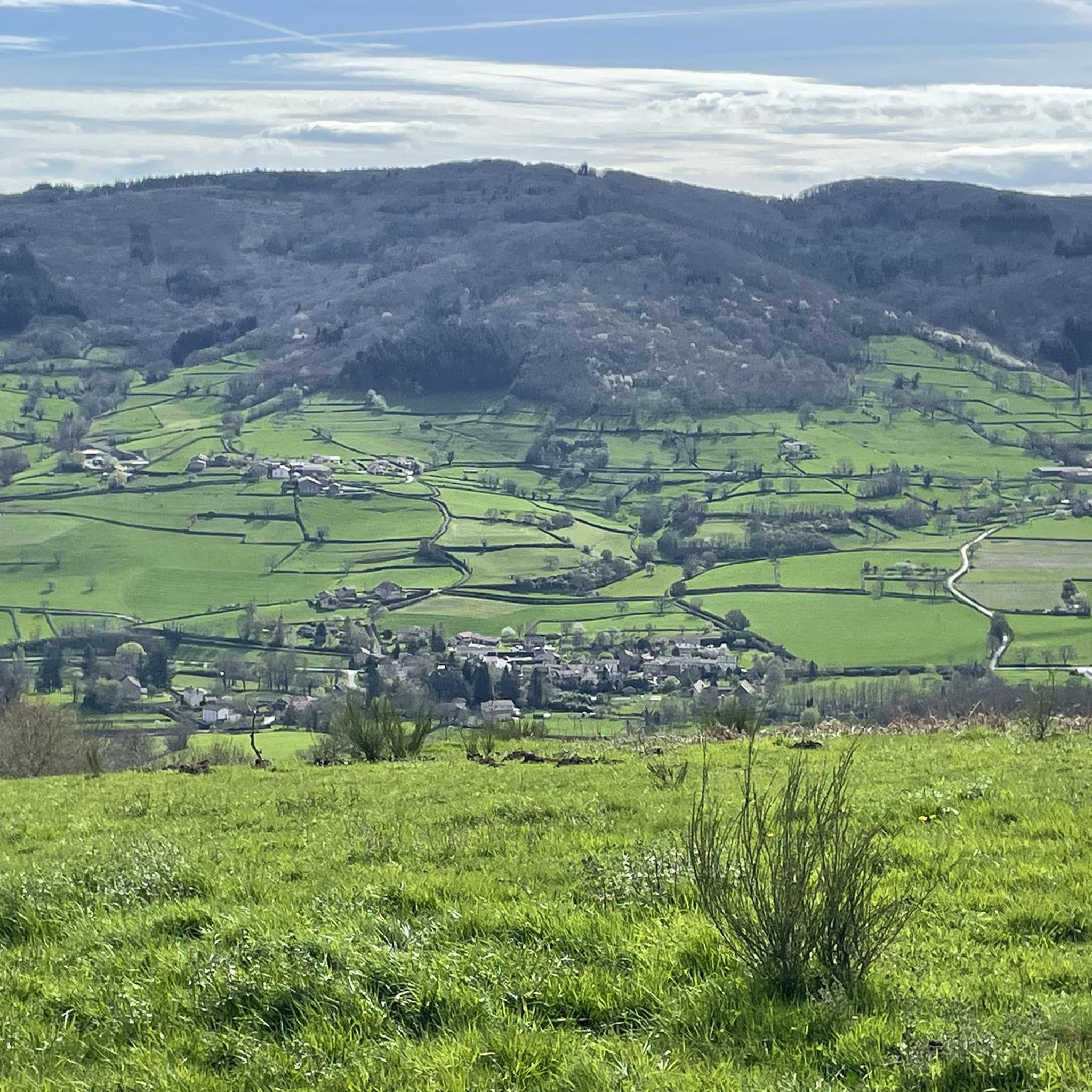
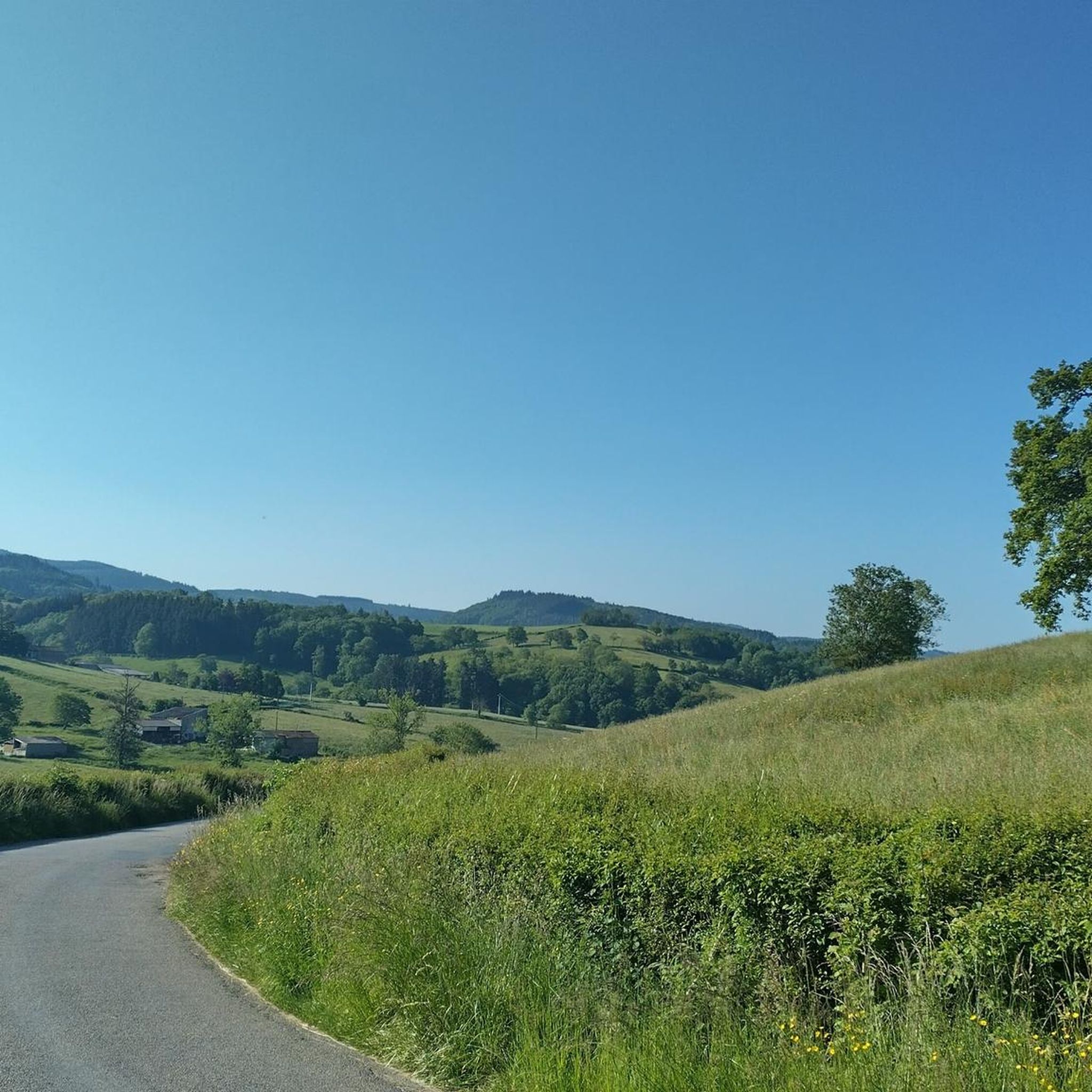
Mountain biking around Montagny-Sur-Grosne offers varied terrain within the Bourgogne-Franche-Comté region. The area is defined by its traditional bocage landscapes, extensive forests, and the Grosne river valley. Riders can expect a mix of hills and wooded paths, including beechwood and Douglas fir plantations. The village itself is situated on a hill, providing views over the surrounding natural features.
Best mountain bike trails around Montagny-Sur-Grosne
- The most popular mountain bike trail is The Châtelard viaduct – Mount Saint-Rigaud loop from Saint-Pierre-le-Vieux…
Last updated: July 11, 2026
4.5
(8)
31
riders
40.0km
04:01
1,150m
1,150m
Hard mountain bike ride. Very good fitness required. Suitable for all skill levels.
4.0
(1)
5
riders
49.1km
04:11
920m
920m
Hard mountain bike ride. Very good fitness required. Suitable for all skill levels.

Sign up for free
5.0
(2)
3
riders
28.4km
02:24
510m
510m
Moderate mountain bike ride. Good fitness required. Suitable for all skill levels.
2
riders
25.6km
02:30
720m
720m
Moderate mountain bike ride. Good fitness required. Suitable for all skill levels.
5.0
(3)
5
riders
40.4km
03:52
1,040m
1,040m
Hard mountain bike ride. Very good fitness required. Suitable for all skill levels.
Get access to more routes and recommendations from other explorers.
Sign up for free
Already have an account?
Our route recommendations are based on thousands of hikes, rides, and runs completed by other people on komoot.
Start today with a free account
Your next adventure awaits.
Login or Signup
Tips from the Community

Imposing historic viaduct of a former railway line, built in 1909. The structure has a height of 27 meters and spans the Monsols valley. Today it is a popular destination for hiking and cycling tours.
0
0
Mont Saint-Cyr is located in southern Burgundy (Département Saône-et-Loire) in the municipality of Montmelard and, at 771 meters, is the highest point in the Mâconnais mountains. From the summit, there is a wide panoramic view of the surrounding landscapes of Charolais, Brionnais, and Clunisois. In very clear weather, the view to the east even extends to Mont Blanc in the Alps. On the mountain are the historical remains of a 10th-century monastery that was destroyed during the Huguenot Wars. There is a picnic area in the forest, as well as orientation panels that are helpful in identifying the surrounding peaks and valleys.
0
0
Mont Saint-Cyr is located in southern Burgundy (Saône-et-Loire department) in the municipality of Montmelard and, at 771 meters, is the highest point of the Mâconnais mountains. From the summit, there is a wide panoramic view of the surrounding landscapes of Charolais, Brionnais, and Clunisois. In very clear weather, the view extends eastwards to Mont Blanc in the Alps. On the mountain are the historical remains of a 10th-century monastery, which was destroyed during the Huguenot Wars. There is a picnic area in the forest as well as orientation panels that are helpful in identifying the surrounding peaks and valleys.
0
0
The lake is located in the Doubs department in the French region of Bourgogne-Franche-Comté at an altitude of around 850 meters. After Lac du Bourget and Lac d'Annecy, it is the third largest natural lake in France. It is a very popular lake for swimming in the summer and offers opportunities for kayaking, windsurfing, and stand-up paddling. There is also a popular hiking trail around the entire lake, approximately 20 kilometers long.
1
0

The roof of the Rhône, beautiful view of the upper Beaujolais
1
0
This old railway line is magnificent, all this work for having only been used for a few years.
1
0
cabin in the woods, shame it's not maintained
1
0

Frequently Asked Questions
How many mountain bike trails are there in Montagny-Sur-Grosne?
There are over 40 mountain bike trails available around Montagny-Sur-Grosne, offering a wide range of options for different skill levels and preferences.
What kind of terrain can I expect when mountain biking in Montagny-Sur-Grosne?
The region is characterized by its traditional bocage landscapes, extensive forests, and the Grosne river valley. You can expect a mix of hills and wooded paths, including beechwood and Douglas fir plantations, providing diverse and scenic riding experiences.
What are the difficulty levels of mountain bike trails in Montagny-Sur-Grosne?
The trails around Montagny-Sur-Grosne cater to various abilities. You'll find 2 easy routes, 27 moderate routes, and 13 difficult routes, ensuring options for beginners to experienced riders.
What unique attractions can I see along the mountain bike trails?
A major highlight is the Tunnel du Bois Clair, Europe's longest cycling tunnel. Please note it's closed between October and April to protect hibernating bats, with a 4 km expert-level detour available during these times. Other points of interest include the charming village of Tramayes and the area around Saint-Jacques-des-Arrêts.
Are there any circular mountain bike routes in the area?
Yes, many routes are designed as loops. For example, the Montagne Saint-Cyr – Mount St. Cyr loop from Dompierre-les-Ormes offers a moderate 25.6 km ride, and the Montrouant Castle – View of Matour loop from Matour is a challenging 40.6 km option.
What do other mountain bikers enjoy most about the trails in Montagny-Sur-Grosne?
The trails in Montagny-Sur-Grosne are highly rated by the komoot community, with an average score of 4.3 stars from over 20 reviews. Riders often praise the varied terrain, the scenic bocage landscapes, and the extensive forest paths.
Is Montagny-Sur-Grosne suitable for family-friendly mountain biking?
Yes, the presence of 'Voie Verte' (greenway) sections, such as the one the Tunnel du Bois Clair is part of, provides dedicated, safe paths ideal for families and casual riders. There are also 2 easy routes available for those looking for less challenging options.
Are dogs allowed on the mountain bike trails?
While specific regulations can vary, generally, dogs are permitted on trails in the region, especially in forested and rural areas. It's always best to keep them on a leash and ensure they do not disturb wildlife or other trail users.
Where can I park when mountain biking in Montagny-Sur-Grosne?
Parking is typically available in the villages and towns that serve as starting points for the trails, such as Saint-Pierre-le-Vieux, Tramayes, or Sivignon. Look for designated parking areas or village squares.
Is public transport available to access the mountain bike trails?
Public transport options directly to trailheads in Montagny-Sur-Grosne may be limited due to its rural setting. It's advisable to check local bus schedules or consider driving to access the starting points of the routes.
Are there places to eat or stay near the trails?
The charming villages in the area, including Montagny-Sur-Grosne itself and nearby towns like Tramayes, offer local amenities such as small restaurants, cafes, and accommodation options. These can be good spots to refuel or stay overnight.
What is the best time of year to go mountain biking in Montagny-Sur-Grosne?
The region is enjoyable for mountain biking for much of the year. However, be aware that the Tunnel du Bois Clair is closed between October and April. The area also has its own microclimate, so checking local weather forecasts is always recommended.
Are permits required for mountain biking in the area?
Generally, no specific permits are required for mountain biking on public trails in the Montagny-Sur-Grosne area. However, always respect private property signs and adhere to any local regulations or signage you encounter on the trails.
Most popular routes around Montagny-Sur-Grosne
Most popular attractions around Montagny-Sur-Grosne

Get inspired with the komoot mobile app


Explore more
Browse the best MTB trails in other regions.
